The best walks and hikes around Lugnacco
4.4
(2587)
10,499
hikers
497
hikes
Hiking around Lugnacco, a hamlet within Val di Chy, offers access to the diverse landscapes of the Valchiusella valley in Italy's Metropolitan City of Turin. The region is characterized by its green landscape, ancient chestnut forests, and the glacial formations of the Ivrea Morainic Amphitheater. Trails often feature passages through the Natural Park of the 5 Lakes and unique natural phenomena like the "Terre Ballerine." This area provides a blend of natural beauty and historical sites, including ancient churches and…
Last updated: October 4, 2026
2
hikers
8.82km
03:56
680m
680m
Moderate hike. Good fitness required. Mostly accessible paths. Sure-footedness required.
4.7
(16)
47
hikers
7.88km
03:58
670m
670m
Moderate hike. Good fitness required. Mostly accessible paths. Sure-footedness required.

4.8
(6)
14
hikers
10.4km
03:03
250m
250m
Moderate hike. Good fitness required. Mostly accessible paths. Sure-footedness required.
4.7
(3)
15
hikers
8.73km
02:31
210m
210m
Moderate hike. Good fitness required. Easily-accessible paths. Suitable for all skill levels.
5.0
(4)
23
hikers
2.33km
00:37
20m
20m
Easy hike. Great for any fitness level. Easily-accessible paths. Suitable for all skill levels.
Get access to more routes and recommendations from other explorers.
Already have an account?
Our route recommendations are based on thousands of hikes, rides, and runs completed by other people on komoot.
Start today with a free account
Your next adventure awaits.

Tips from the Community

Accessible by car after a dirt road, excellent starting point for Monte Lion
2
0

the blooming of Narcissus and Monte Val o in the background
2
0

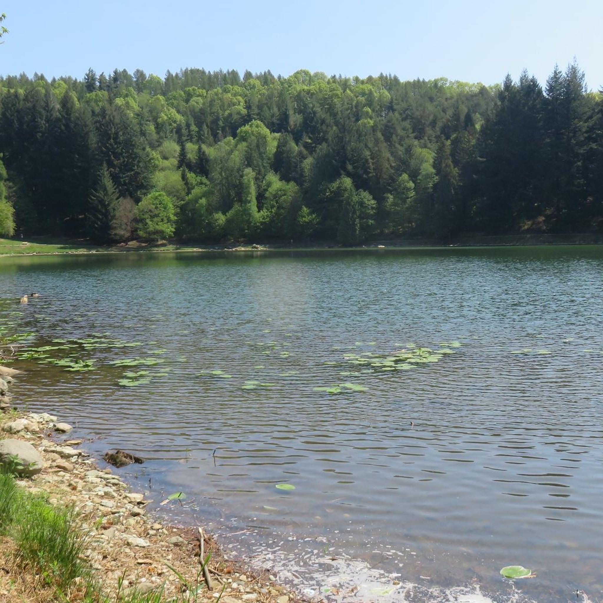
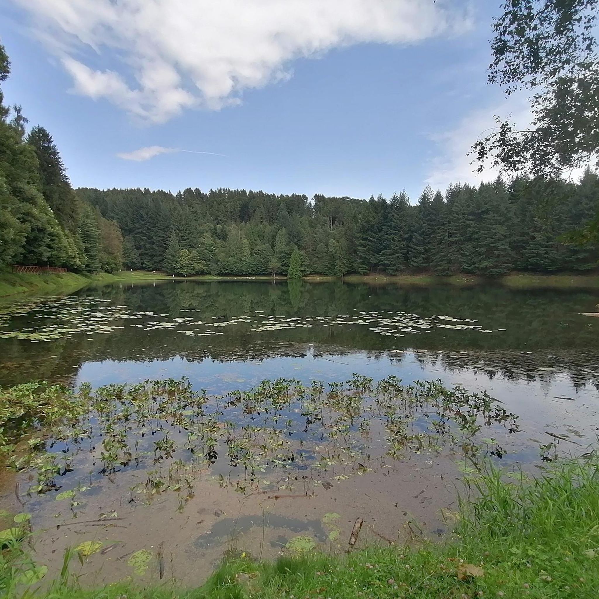
A beautiful lake among the woods of Valchiusella, reachable on foot on easy paths, but also by car
0
0
Accessible by car via a somewhat narrow but recently restored paved road, it is in excellent condition. Ample parking is available. It has a barbecue and picnic area. It's also an excellent starting point for reaching the surrounding peaks.
2
0

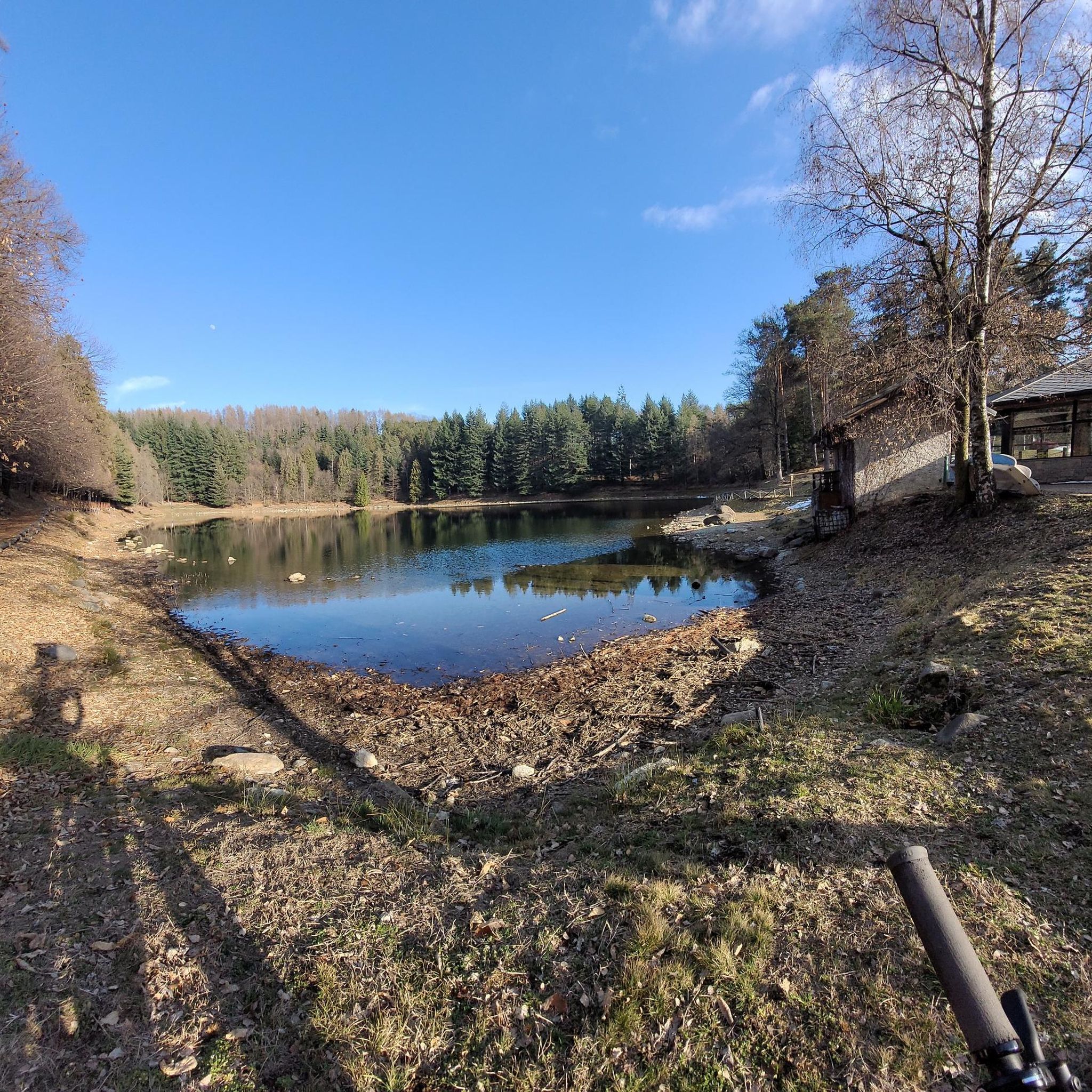
Lake Alice Superiore is a little jewel, on clear winter days the Alps are reflected in its waters...
0
0

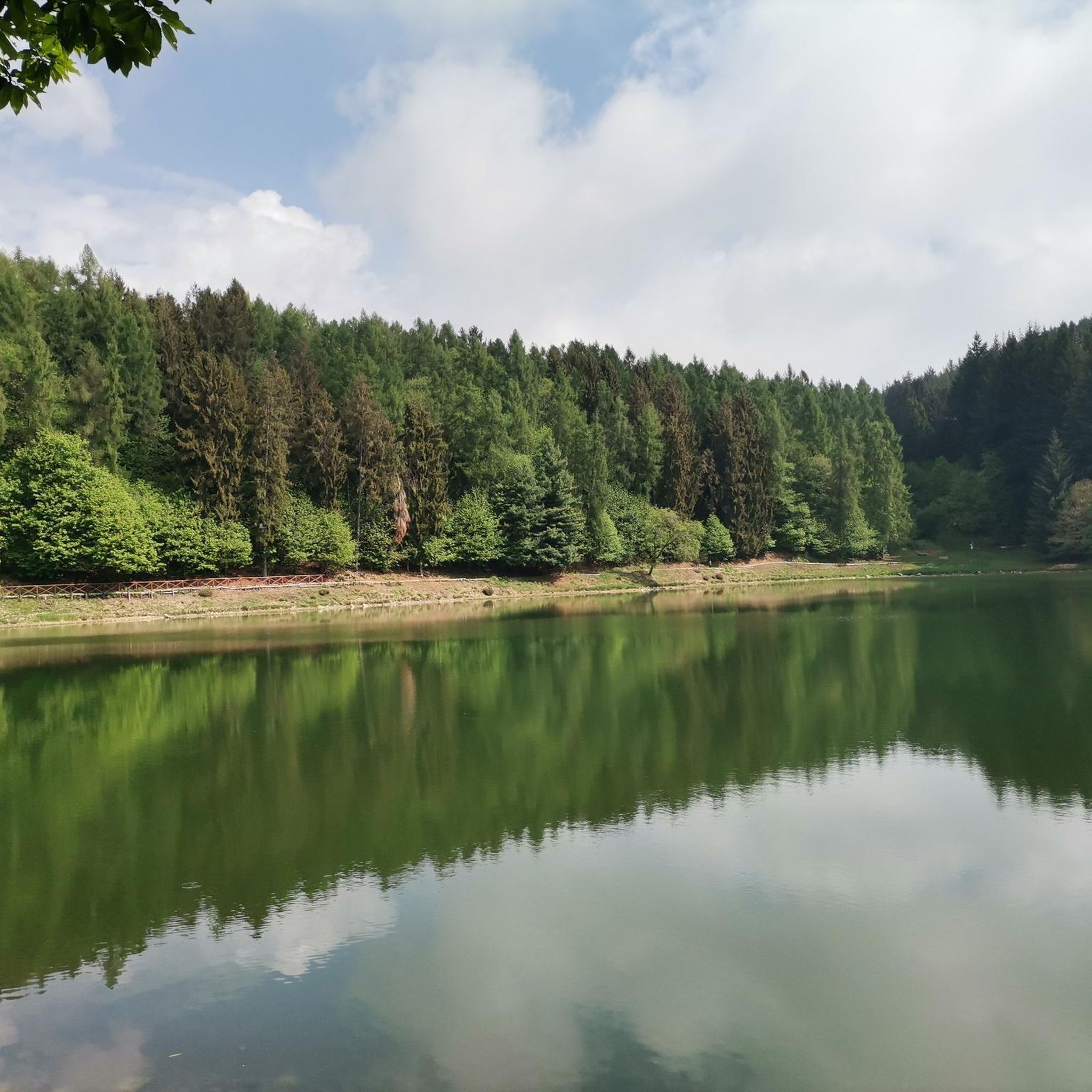
A natural spectacle to enjoy in the month of May
2
0
Easily accessible on a paved road (unfortunately). Breathtaking view of the plain. In May, the spectacle of the daffodils blooming is unmissable.
2
0

After a climb, just stop at the bar restaurant on the shore of ..Lake Alice 🐰
0
0
Frequently Asked Questions
How many hiking trails are available around Lugnacco?
Lugnacco and the surrounding Valchiusella valley offer a wide variety of hiking opportunities, with over 430 routes recorded on komoot. These range from easy strolls to more challenging mountain ascents.
Are there easy hiking trails suitable for beginners or families in Lugnacco?
Yes, Lugnacco has a good selection of easy trails. For instance, the Lago di Alice Superiore – Lake Alice loop from Alice Superiore is an easy 2.2 km path, perfect for a relaxed walk. The region research also mentions 'very easy' routes like the one from Lugnacco to Pecco, which pass by interesting ancient sites.
What kind of natural features can I expect to see on hikes in the Valchiusella valley?
The Valchiusella valley is known for its diverse natural beauty. You can explore ancient chestnut forests, some with unique wooden sculptures, and experience the peculiar 'Terre Ballerine' (Dancing Lands) where the ground moves underfoot. Many trails also offer panoramic views of the surrounding mountains and valleys, and pass through the Natural Park of the 5 Lakes, including the areas around Lake Alice and Lake Meugliano.
Are there any circular hiking routes around Lugnacco?
Yes, many routes in the area are circular. A popular option is the Lake of Alice Superiore – Lake Meugliano loop from Alice Superiore, which is a moderate 9.8 km path circling two notable lakes. Another is the Monte Lion Summit Cross – Alpe Laser Viewpoint loop from Colletto di Bossola, a 7.8 km trail with significant elevation gain.
What historical or cultural landmarks can I discover while hiking in Lugnacco?
The region is rich in history. Trails often lead past ancient sites such as the 10th-century Church of the Purification of the Virgin Mary, a Bronze Age menhir near the Lugnacco cemetery, and the Nonani chapel. The 'Ancient Val di Chy' loop tour specifically explores sites that shaped the valley's culture, and the 'Salassi Trail' traces ancient routes with great historical appeal.
Are there any challenging hikes for experienced trekkers?
Absolutely. While there are many moderate options, the Valchiusella also offers more difficult trails for experienced hikers. For example, the Pian delle Nere Trail (via Route 912B) is a moderate 8.8 km route with a significant elevation gain of over 670 meters, providing a good challenge. Other routes like the 'Monte Lion Loop Trail' and 'Bossola Peak loop' are also mentioned as requiring good to very good fitness.
What do other hikers say about the trails in Lugnacco?
The hiking trails around Lugnacco are highly regarded by the komoot community, with an average rating of 4.5 stars from over 2000 reviews. Hikers often praise the diverse terrain, from ancient chestnut forests to scenic lake views, and the blend of natural beauty with historical points of interest.
Are there any huts or refuges along the hiking routes in Lugnacco?
Yes, there are several huts and refuges in the vicinity that can serve as rest stops or overnight accommodations. Notable options include Rifugio Cima Bossola, Rifugio Bruno Piazza, and Rifugio Fornetto.
Can I find unique natural monuments or viewpoints in the area?
The region is home to several unique natural monuments and viewpoints. You can visit The Dancing Lands, a peculiar forest with moving soil, or enjoy the views from Pian delle Nere. Other points of interest include Lake Pistono and the Punta Quinseina Sud Summit Cross.
Is there public transport available to reach hiking trailheads around Lugnacco?
While specific public transport details for individual trailheads are not provided in the guide data, Lugnacco is a frazione within the municipality of Val di Chy. For detailed information on public transport options to reach the Valchiusella valley and specific starting points, it's advisable to consult local transport schedules or tourist information centers for the Valchiusella region.
What is the best season for hiking in Lugnacco?
The Valchiusella valley offers beautiful scenery throughout much of the year. Spring and autumn are particularly pleasant, with comfortable temperatures and vibrant foliage, especially in the chestnut forests. Summer provides warmer weather for higher altitude trails, while some routes might be accessible in winter, though conditions can vary and require appropriate gear.
Are there any multi-day hiking routes in the Lugnacco area?
Yes, for those looking for longer adventures, the 'Alta Via dell'Anfiteatro Morenico di Ivrea' is a multi-day route that winds through lakes and castles, connecting various towns and landscapes within the broader Ivrea Morainic Amphitheater, which encompasses Lugnacco.
Most popular attractions around Lugnacco

Get inspired with the komoot mobile app


Explore more
Browse the best Hikes in other regions.
