The best walks and hikes around Rorà
4.4
(1781)
8,608
hikers
21
hikes
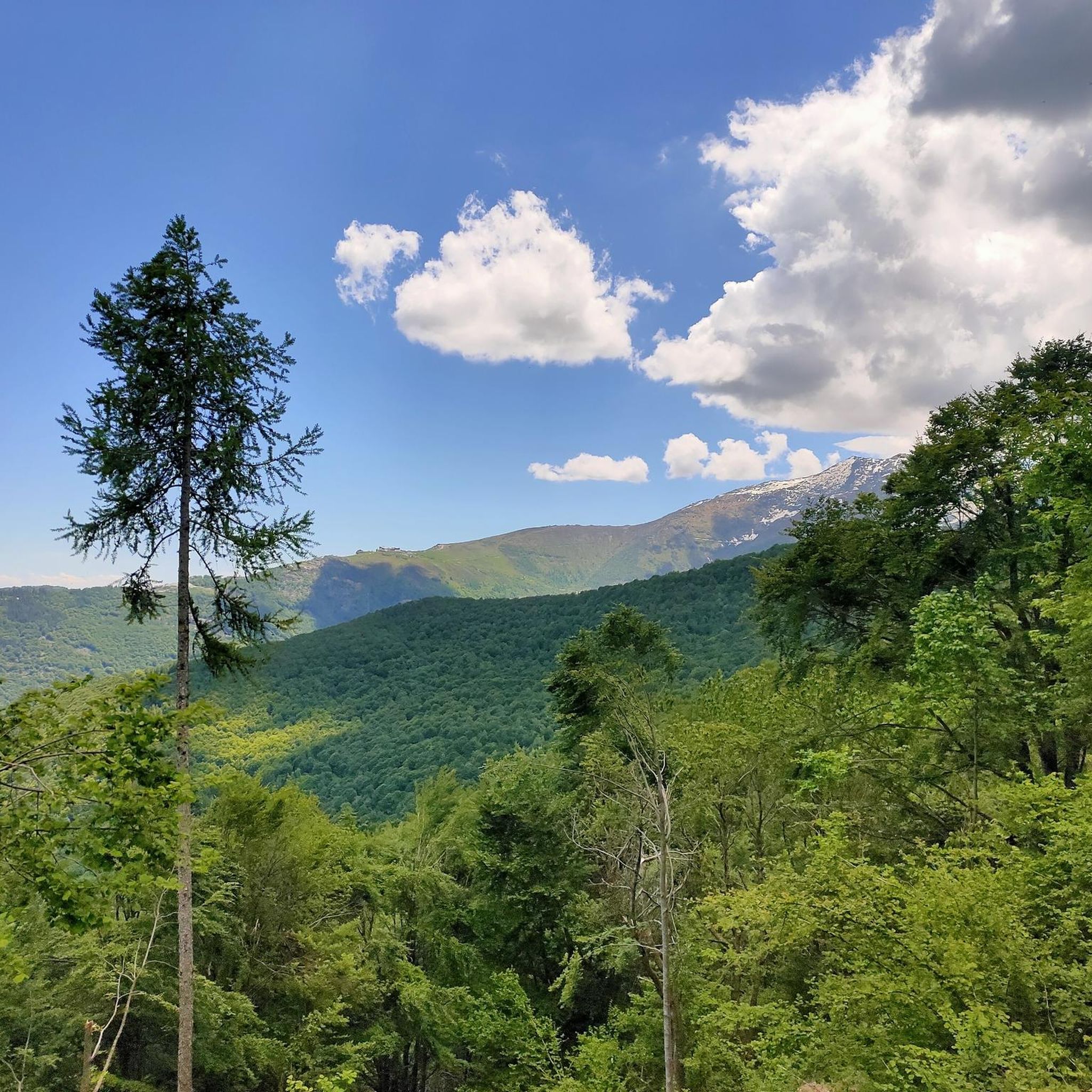
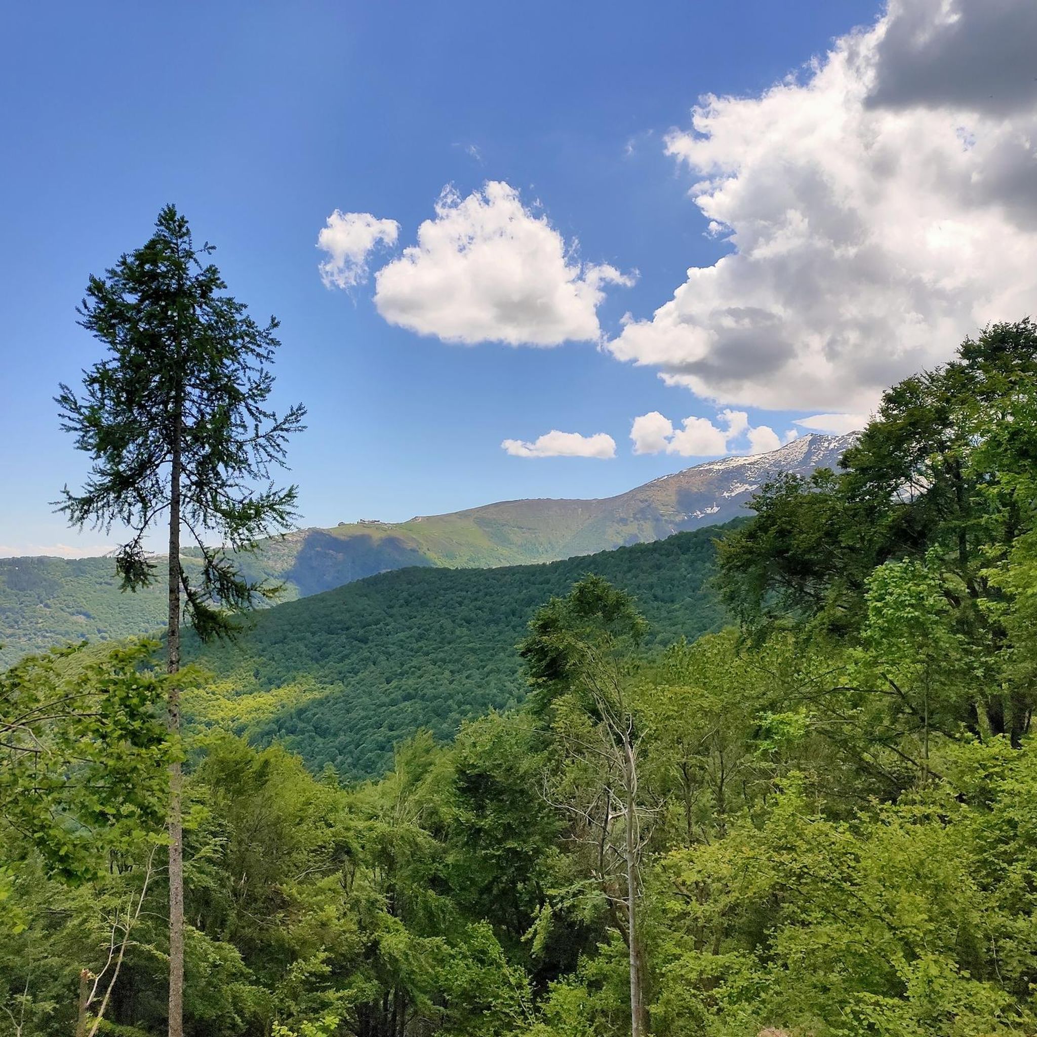
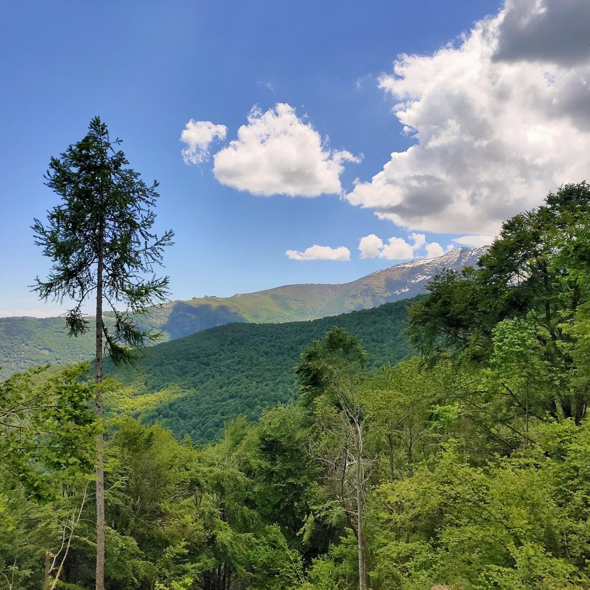
Hiking around Rorà offers diverse landscapes within Italy's Metropolitan City of Turin, situated at the foot of Mount Frioland in the upper Val Pellice. The region is characterized by extensive beech and chestnut woods, alpine pastures, and varied terrain that includes hills and panoramic viewpoints. Trails often feature serene lakes, tranquil streams, and historical sites, providing a rich natural and cultural experience.
Best hiking trails around Rorà
- The most popular hiking route is Laghetto di Orghen Loop, a 6.0 miles (9.6 km) trail that takes 3 hours 43 minutes to complete. This moderate loop features a serene lake, ancient rock engravings, and diverse forest paths.
- Another top favourite among local hikers is Val Pellice Rock Engravings Trail, a moderate 5.0 miles (8.1 km) path. This route allows hikers to discover ancient rock art and offers significant elevation gain through varied terrain.
- Local hikers also love the Resistance Paths Trail - Stage 14, a 3.6 miles (5.7 km) trail leading through forested areas, often completed in about 1 hour 47 minutes. This easy route highlights historical lime kilns within the Parco Montano del Bric Rorà.
- Hiking around Rorà is defined by lush beech and chestnut woods, scenic alpine pastures, and panoramic views of the plains. The network offers options for different ability levels, from easy walks to more challenging ascents.
- The routes in Rorà are highly rated by the komoot community with an average score of 4.4 stars from over 1400 reviews. More than 7000 hikers have used komoot to explore Rorà's varied terrain.
Last updated: September 26, 2026
3.0
(3)
7
hikers
9.63km
03:43
690m
690m
Moderate hike. Good fitness required. Easily-accessible paths. Suitable for all skill levels.
3.3
(3)
11
hikers
16.1km
05:17
770m
770m
Hard hike. Very good fitness required. Easily-accessible paths. Suitable for all skill levels.

5.74km
01:47
230m
230m
Easy hike. Great for any fitness level. Easily-accessible paths. Suitable for all skill levels.
8.10km
02:34
330m
330m
Moderate hike. Good fitness required. Easily-accessible paths. Suitable for all skill levels.
3.9
(7)
18
hikers
4.64km
01:29
200m
190m
Easy hike. Great for any fitness level. Easily-accessible paths. Suitable for all skill levels.
Get access to more routes and recommendations from other explorers.
Already have an account?
Our route recommendations are based on thousands of hikes, rides, and runs completed by other people on komoot.
Start today with a free account
Your next adventure awaits.

Tips from the Community

Beautiful panoramic point, there is a fountain useful as a refreshment point to continue towards Frioland
0
0

Quiet, panoramic place, with excursions for all needs, easy or more challenging. Today we still found a lot of snow towards the Ivert hamlet. Ideal to do in summer.
0
0

The park, at 1,168 meters above sea level, is an equipped area ideal for a panoramic break or to continue exploring the surrounding natural area.
0
0

Ancient furnace where lime was worked in ancient times, and is clearly visible next to the city park of the Fornaci hamlet of the same name
1
0
Park above the town of Rorà, where you can have a picnic, and from where walking itineraries start
1
1
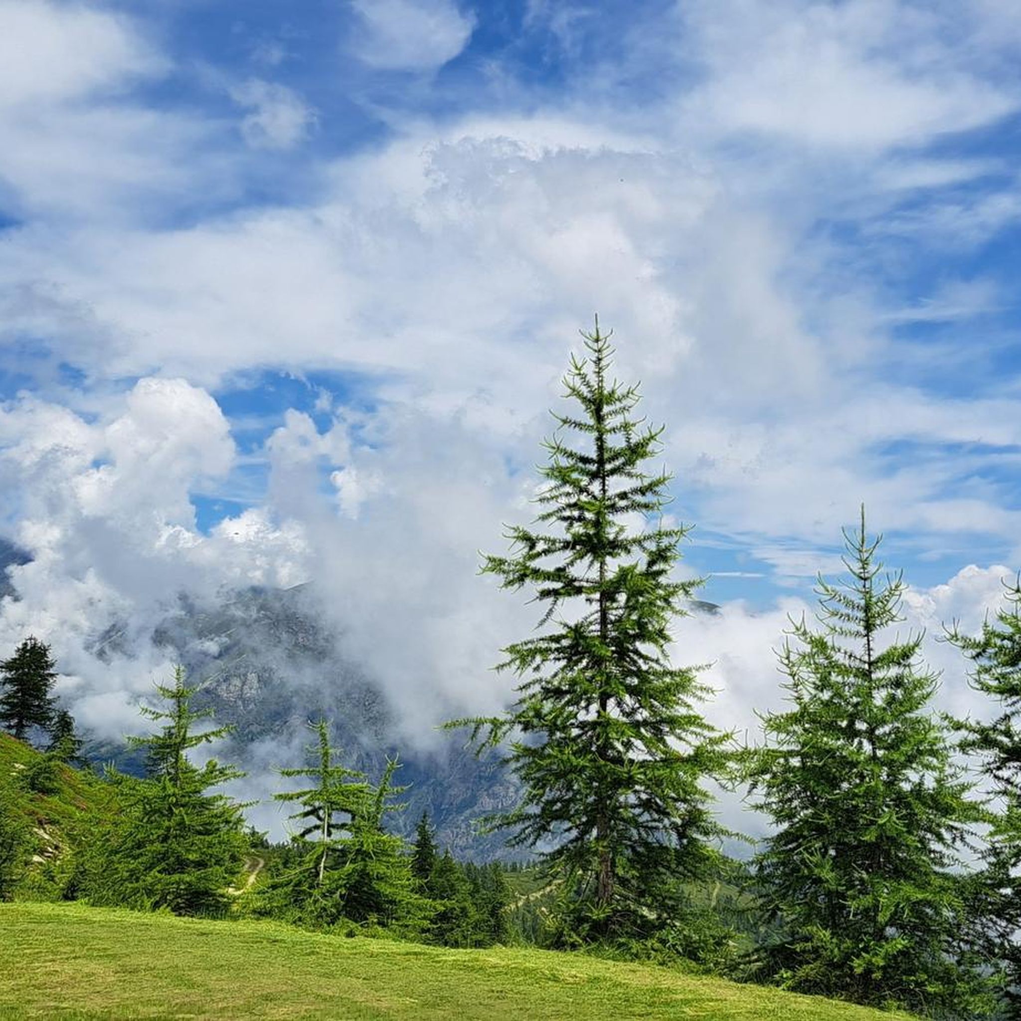
Alpine pasture area with a group of huts, in the municipality of Rorà, at almost 1500 metres above sea level
0
0
Nice walk along the ridge that divides Rorà and Villar Pellice
0
0
Panoramic point with a view towards Cavour, there is a fountain that is not always functioning
0
0
Frequently Asked Questions
Are there hiking trails suitable for beginners or families with children in Rorà?
Yes, Rorà offers several easy routes perfect for beginners or families. For instance, the Resistance Paths Trail - Stage 14 is an easy 5.7 km (3.6 mile) path through forested areas within the Parco Montano del Bric Rorà, highlighting historical lime kilns. The "Health and Nature" route, largely on un-trafficked asphalt roads and wide forest tracks, is also suitable for a wide range of hikers.
What kind of natural features can I expect to see while hiking in Rorà?
Rorà's trails are rich in natural beauty. You'll encounter lush beech and chestnut woods, serene alpine pastures, and often enjoy panoramic views of the plains, sometimes stretching to Torino and the Monte Rosa massif on clear days. Some routes, like the Laghetto di Orghen Loop, feature picturesque lakes, while others may lead you past tranquil streams or even waterfalls, such as the Pis Waterfall.
Are there any circular hiking routes in Rorà?
Yes, Rorà has several excellent circular routes. The Laghetto di Orghen Loop is a popular moderate 9.6 km (6.0 mile) option. Another great choice is the Montano Park of Rorà – Rock Engravings and Cup Marks loop, a moderate 12.9 km (8.0 mile) trail that explores the mountain park's unique historical features. The "Anello di Pietra" (Stone Ring) also offers a comprehensive loop showcasing the area's geological significance.
Can I hike with my dog on the trails in Rorà?
While specific regulations for dogs on every trail are not detailed, generally, dogs are welcome on many hiking trails in the Piedmont region, especially if kept on a leash. It's always advisable to check local signage at trailheads for any specific restrictions within protected areas like the Parco Montano del Bric Rorà.
What historical or cultural landmarks can I discover on Rorà's hiking trails?
Rorà's trails often blend natural beauty with historical insights. You can discover ancient rock engravings and cup marks on routes like the Val Pellice Rock Engravings Trail or the Montano Park of Rorà – Rock Engravings and Cup Marks loop. The Resistance Paths Trail - Stage 14 highlights historical lime kilns, offering a glimpse into the region's past. The "Anello di Pietra" (Stone Ring) also showcases the history of Luserna Stone extraction.
Are there any challenging hikes for experienced trekkers in Rorà?
Yes, Rorà offers more demanding options for experienced hikers. The Plan Prà to Fontana Panoramica di Valanza (via Trail 105) is a difficult 16.1 km (10.0 mile) route with significant elevation gain, taking around 5 hours and 17 minutes. Ascents to higher elevations like Rocca Bera and Uvert-Valanza also provide challenging terrain and rewarding panoramic views.
What is the best time of year to go hiking in Rorà?
Rorà offers hiking opportunities throughout much of the year. Spring and autumn are particularly pleasant, with mild temperatures and vibrant foliage in the extensive beech and chestnut woods. During winter, the region also provides options for snowshoeing, with specific itineraries around Rorà and Luserna San Giovanni, allowing for a different kind of outdoor experience.
What do other hikers enjoy most about hiking in Rorà?
The hiking experience in Rorà is highly rated by the komoot community, with an average score of 4.4 stars from over 1400 reviews. Hikers frequently praise the diverse landscapes, from lush forests to alpine pastures, and the well-maintained trails that offer a mix of natural beauty and historical points of interest. The panoramic views from higher elevations are also a common highlight.
How many hiking routes are available in Rorà?
There are 19 hiking routes available in Rorà, catering to various fitness levels. This includes 5 easy trails, 11 moderate trails, and 3 difficult trails, ensuring there's an option for almost every hiker.
Is it possible to reach trailheads in Rorà using public transport?
While Rorà is a charming municipality, direct public transport links to specific trailheads might be limited. It's generally recommended to check local bus schedules for connections within Val Pellice or consider driving to access the starting points of many trails. Information on specific public transport routes to trailheads is not readily available.
Are there any long-distance hiking options that pass through Rorà?
Yes, Rorà is part of the extensive Ring of the Waldensian Valleys (AVV), a 120 km (75 mile) itinerary across the Val Pellice. This long-distance route is divided into 8 stages, offering a deeper exploration of the historical Waldensian territories and providing a multi-day hiking experience for those looking for a more extensive adventure.
What is the Parco Montano del Bric Rorà, and what can I find there?
The Parco Montano del Bric Rorà is a mountain park that offers a preserved natural environment with well-maintained trails. Within the park, you can explore historical lime kilns on routes like the Resistance Paths Trail - Stage 14, or discover unique rock engravings and cup marks on the Montano Park of Rorà – Rock Engravings and Cup Marks loop. The park is characterized by impressive chestnut trees and diverse forest paths.
Most popular attractions around Rorà

Get inspired with the komoot mobile app


Explore more
Browse the best Hikes in other regions.
