The best walks and hikes around Pertusio
4.4
(1072)
5,429
hikers
265
hikes
Hiking around Pertusio, situated in Italy's Piedmont region, provides access to the Graian Alps and a diverse network of trails. The landscape features alpine environments, prominent peaks such as Cima Mares and Monte Soglio, and varied vegetation including forests and alpine meadows. Elevated viewpoints offer panoramic vistas of the Canavese plain and surrounding valleys. The region's natural features contribute to a range of hiking experiences.
Best hiking trails around Pertusio
- The most popular hiking route is Canavese pilgrimage trail to…
Last updated: November 1, 2026
5
hikers
17.2km
06:52
1,090m
1,090m
Hard hike. Very good fitness required. Mostly walkable paths. Sure-footedness required.
5.0
(2)
12
hikers
6.41km
01:59
230m
230m

5.0
(1)
3
hikers
7.58km
02:21
300m
300m
4.5
(34)
167
hikers
5.99km
01:56
260m
260m
Easy hike. Easily walkable paths.
4.7
(11)
39
hikers
18.8km
07:00
1,090m
1,090m
Hard hike. Very good fitness required. Mostly walkable paths. Sure-footedness required.
Get access to more routes and recommendations from other explorers.
Already have an account?
Our route recommendations are based on thousands of hikes, rides, and runs completed by other people on komoot.
Start today with a free account
Your next adventure awaits.


Tips from the Community

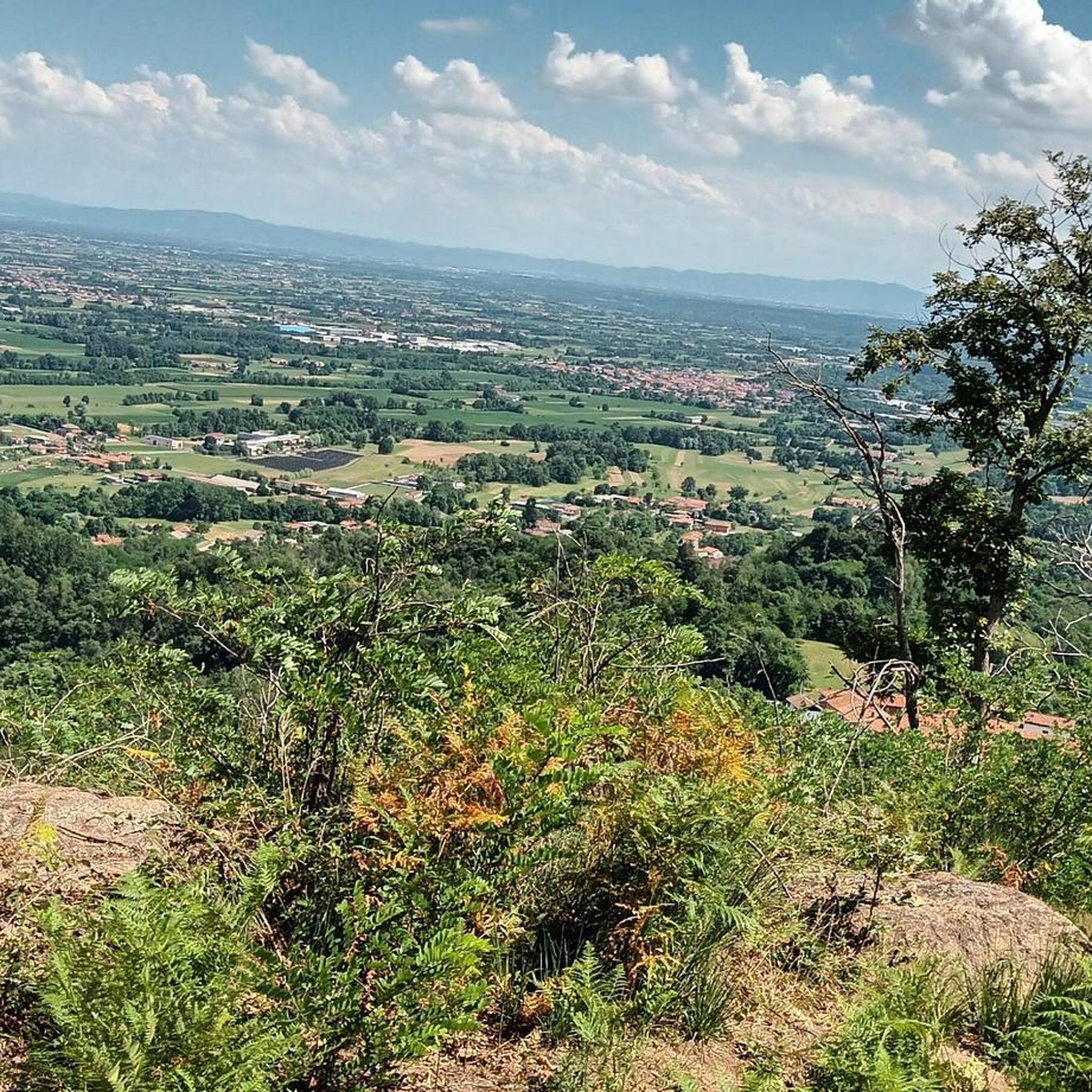
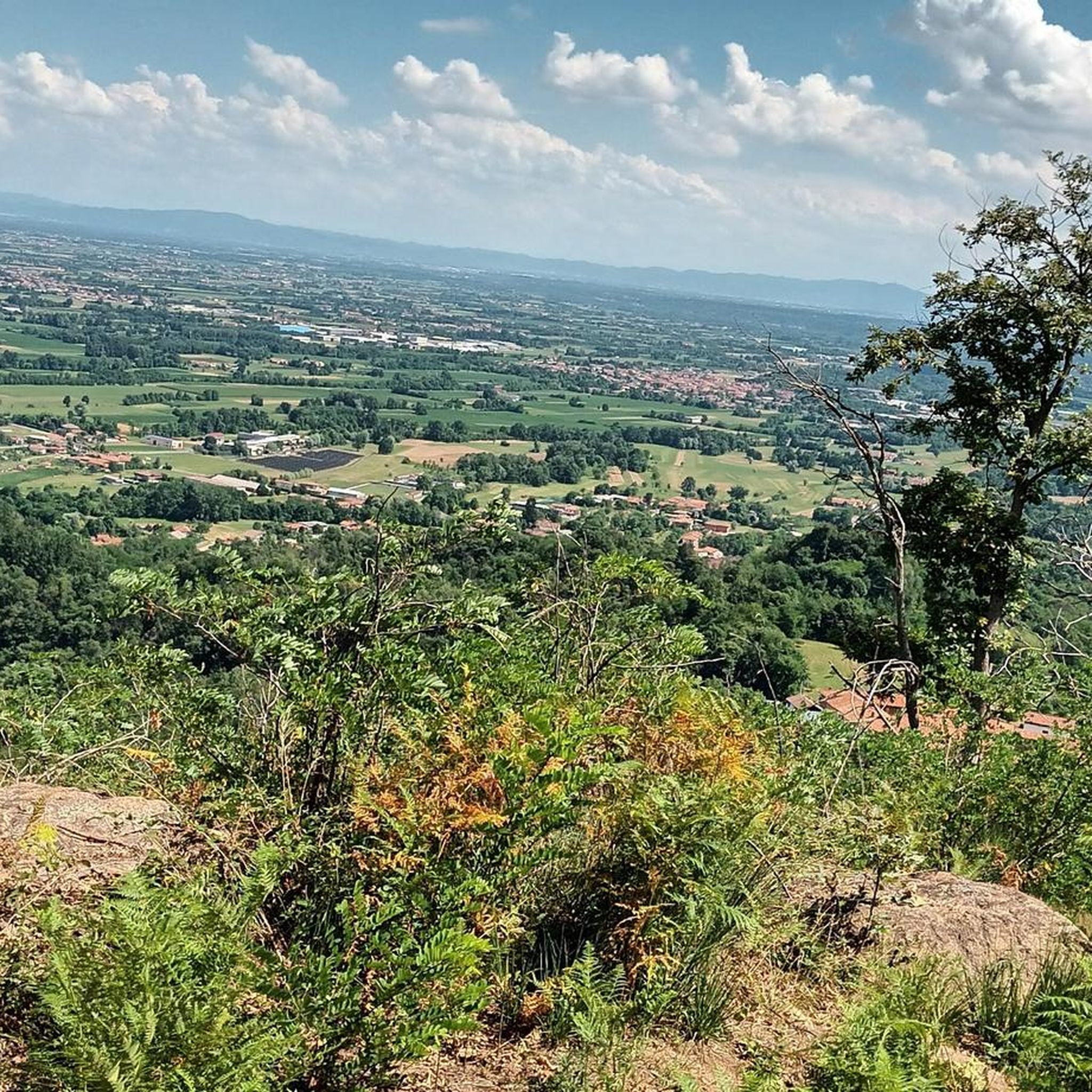
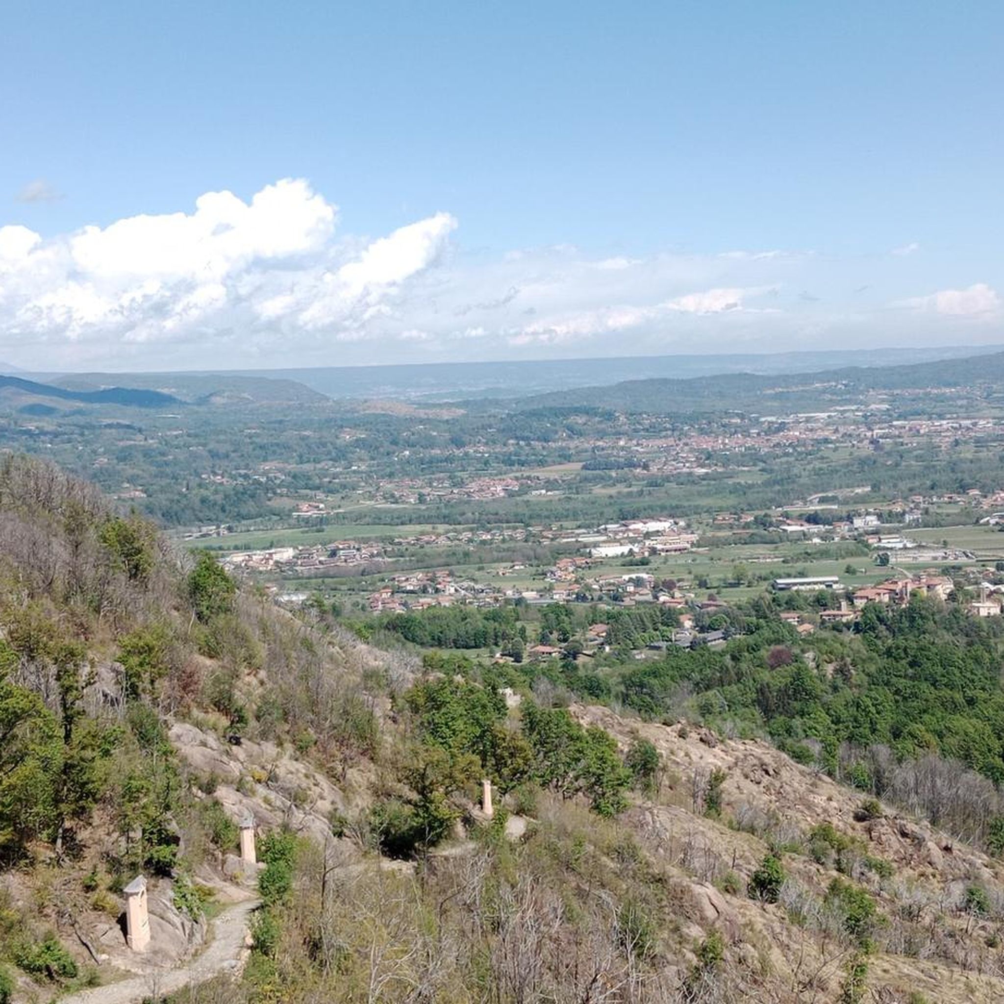
On Cima Mares there isn't much, apart from a cross and the repeaters, but the panorama is worth the effort to climb it, the view actually ranges from the Maritime Alps, which are very clearly distinguishable in conditions of good visibility, then moving your gaze to the right you encounter Monviso, a good part of the peaks of Cuneese and the lower Susa valley, because the upper part is screened by the silhouette of Monte Soglio, which forms the watershed between the Orco valley and the Lanzo valleys. To the right, overlooking the upper part of the valley towards Ceresole, you can admire the satellites of G. Paradiso and other minor peaks, which however almost all exceed 2500 meters and offer a grandiose spectacle.
0
0

To reach this point on a snowy path, it is best to have snowshoes or, if the snow is compact, crampons (I went up with crampons).
0
0


A beautiful, very wide mountain trail to reach this important landmark and possibly continue further. also indicated on the signs as Madonna del Bioletto.
0
0

Small church located in the homonymous Bioletto locality, with numerous picnic tables and places to cook meat. It is served by a dirt road in a quiet place. Continuing to climb, with more than 2 hours of walking you can reach Cima Mares
0
0
A sign indicates the arrival of the rocks, at the crossroads with the paths that arrive from Cuorgnè and Canischio. I believe that you can climb to the top of the rocks that you see in front, having seen the red and white notches marked, but I do not know the degree of difficulty
0
0
A pass that is located at the intersection of several paths. You can climb to the top of the Mares peak, or reach the chapel-refuge of San Bernardo di Mares, you can descend towards Alpette or reach the Rocche di San Martino
0
0
There are many chapels dedicated to the Madonna della Neve, this one is located in the municipality of Canischio, at the entrance to the Sentiero del Gallo
0
0
Frequently Asked Questions
How many hiking trails are available around Pertusio?
There are over 200 hiking routes around Pertusio, offering a wide range of experiences. These include easy paths, moderate trails, and more challenging options for experienced hikers.
Are there easy hiking trails suitable for beginners or families in Pertusio?
Yes, Pertusio offers around 45 easy hiking trails perfect for beginners or families. An excellent option is the Canavese pilgrimage trail to Church of Saint Apollonia, which is 4.0 miles (6.4 km) long and follows a historical path.
What kind of landscapes and natural features can I expect to see while hiking in Pertusio?
Hiking around Pertusio offers diverse and striking natural landscapes, characteristic of the Graian Alps. You'll encounter alpine environments, varied vegetation including forests of spruce, beech, and larch, transitioning to alpine meadows at higher elevations. Prominent peaks like Cima Mares and Monte Soglio provide breathtaking panoramic views of the Canavese plain, surrounding valleys, and even distant giants like Gran Paradiso.
Are there any circular hiking routes in Pertusio?
Yes, many routes around Pertusio are circular. For example, the Prime Leaves Plateau – Big Bench Levone loop from Rivara is a moderate 5.4 miles (8.7 km) trail that takes you through varied terrain and returns to your starting point.
What are some notable landmarks or attractions I can see along the hiking trails?
The region around Pertusio is rich in natural and cultural landmarks. You can visit the Cima Mares summit for enchanting views, or reach the Monte Soglio Summit and Madonna Statue for extraordinary panoramic vistas. The Sanctuary of Sacro Monte di Belmonte is another significant site, often incorporated into hiking routes like the Sanctuary of Belmonte – Alpini Memorial Monument loop from Pertusio.
What is the best time of year to go hiking in Pertusio?
The best time to hike in Pertusio is generally from spring to autumn when the weather is mild and the trails are clear. To fully appreciate the extensive panoramic views from peaks like Monte Soglio, it's recommended to choose a clear day.
Are there any dog-friendly hiking trails in Pertusio?
Many trails in the Pertusio area are suitable for hiking with dogs, especially the easier and moderate paths that traverse forests and open meadows. Always ensure your dog is on a leash where required and respect local wildlife and other hikers.
What do other hikers enjoy most about hiking in Pertusio?
The hiking trails in Pertusio are highly rated by the komoot community, with an average score of 4.4 stars from over 800 reviews. Hikers frequently praise the diverse terrain, from historical paths to alpine environments, and the stunning panoramic views from elevated points.
Are there any longer, more challenging hikes for experienced trekkers?
Yes, for experienced trekkers, Pertusio offers around 33 difficult trails. These routes often lead to higher alpine elevations and require good fitness and sometimes alpine experience. They provide opportunities to explore the more rugged parts of the Graian Alps.
Is public transport available to reach hiking trailheads in Pertusio?
Pertusio is located approximately 30 km north of Turin. While specific public transport details to individual trailheads are not provided, it's advisable to check local bus schedules or consider driving to access the wider network of trails in the region.
Are there any historical or cultural routes in addition to natural trails?
Beyond purely natural trails, Pertusio also offers cultural routes that traverse the village, allowing visitors to admire its ancient architecture and discover its history. The Canavese pilgrimage trail to Church of Saint Apollonia is an example of a route that combines natural beauty with historical significance.
Most popular attractions around Pertusio

Get inspired with the komoot mobile app


Explore more
Browse the best Hikes in other regions.
