The best cycling routes around Carema
4.5
(112)
2,003
riders
114
rides
Touring cycling routes around Carema navigate a landscape characterized by its position in the Aosta Valley, featuring river valleys, historical sites, and varying elevations. The region offers a mix of terrain, from flatter sections along waterways to more challenging ascents into the surrounding hills. Cyclists can expect routes that traverse both developed areas and natural environments, providing diverse riding experiences. The area's topography supports a range of touring cycling routes suitable for different skill levels.
Best touring cycling routes around…
Last updated: August 1, 2026
4.8
(4)
82
riders
79.0km
05:41
1,610m
1,610m
Hard bike ride. Very good fitness required. Mostly paved surfaces. Suitable for all skill levels.
4.6
(5)
61
riders
40.4km
02:35
450m
450m
Moderate bike ride. Good fitness required. Mostly paved surfaces. Suitable for all skill levels.

Sign up for free
4.7
(3)
81
riders
71.2km
04:45
1,010m
1,010m
Hard bike ride. Very good fitness required. Mostly paved surfaces. Suitable for all skill levels.
4.3
(3)
32
riders
35.0km
03:09
1,260m
1,260m
Hard bike ride. Very good fitness required. Mostly paved surfaces. Suitable for all skill levels.
4.5
(2)
34
riders
40.2km
03:07
930m
930m
Hard bike ride. Very good fitness required. Mostly paved surfaces. Suitable for all skill levels.
Get access to more routes and recommendations from other explorers.
Sign up for free
Already have an account?
Our route recommendations are based on thousands of hikes, rides, and runs completed by other people on komoot.
Start today with a free account
Your next adventure awaits.
Login or Signup

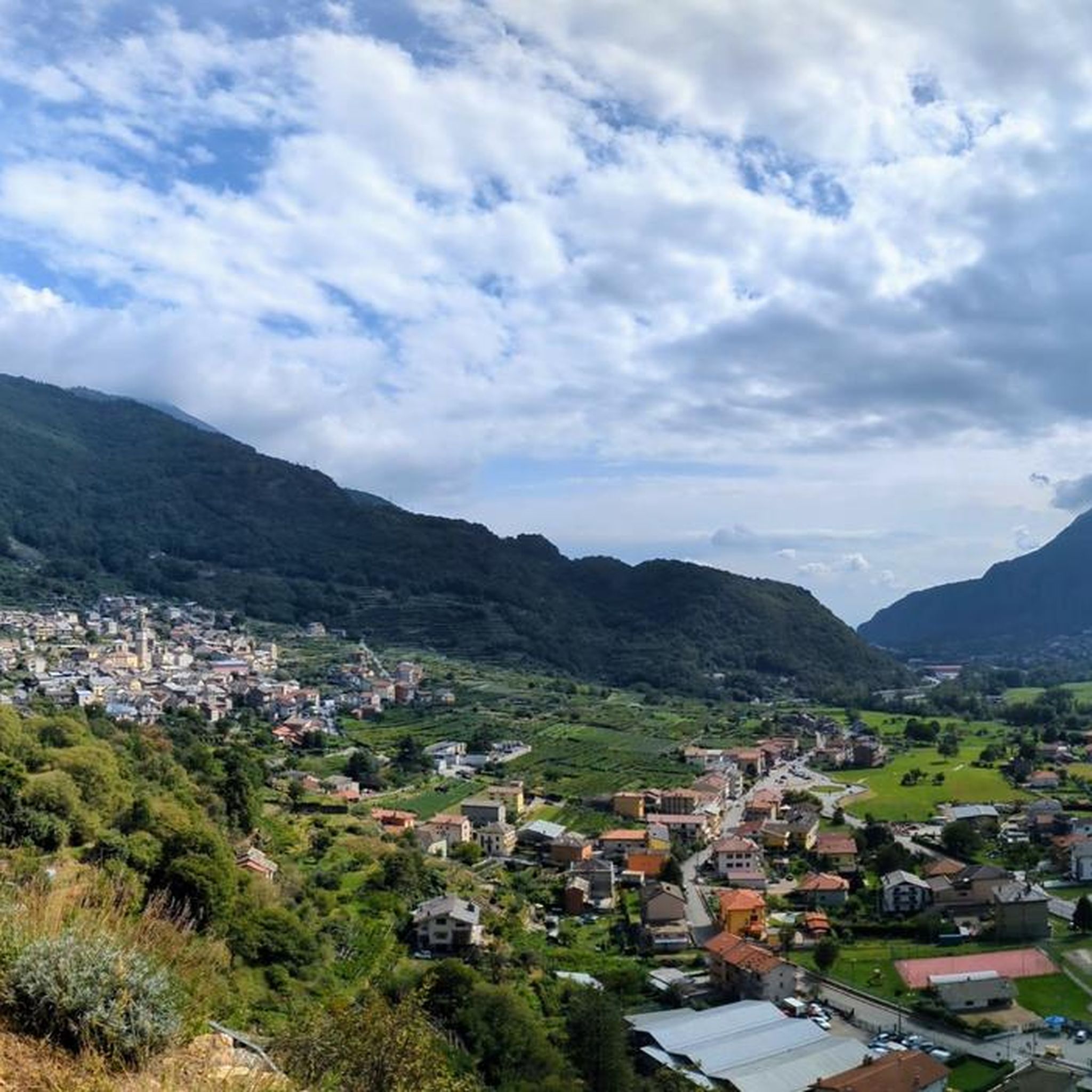
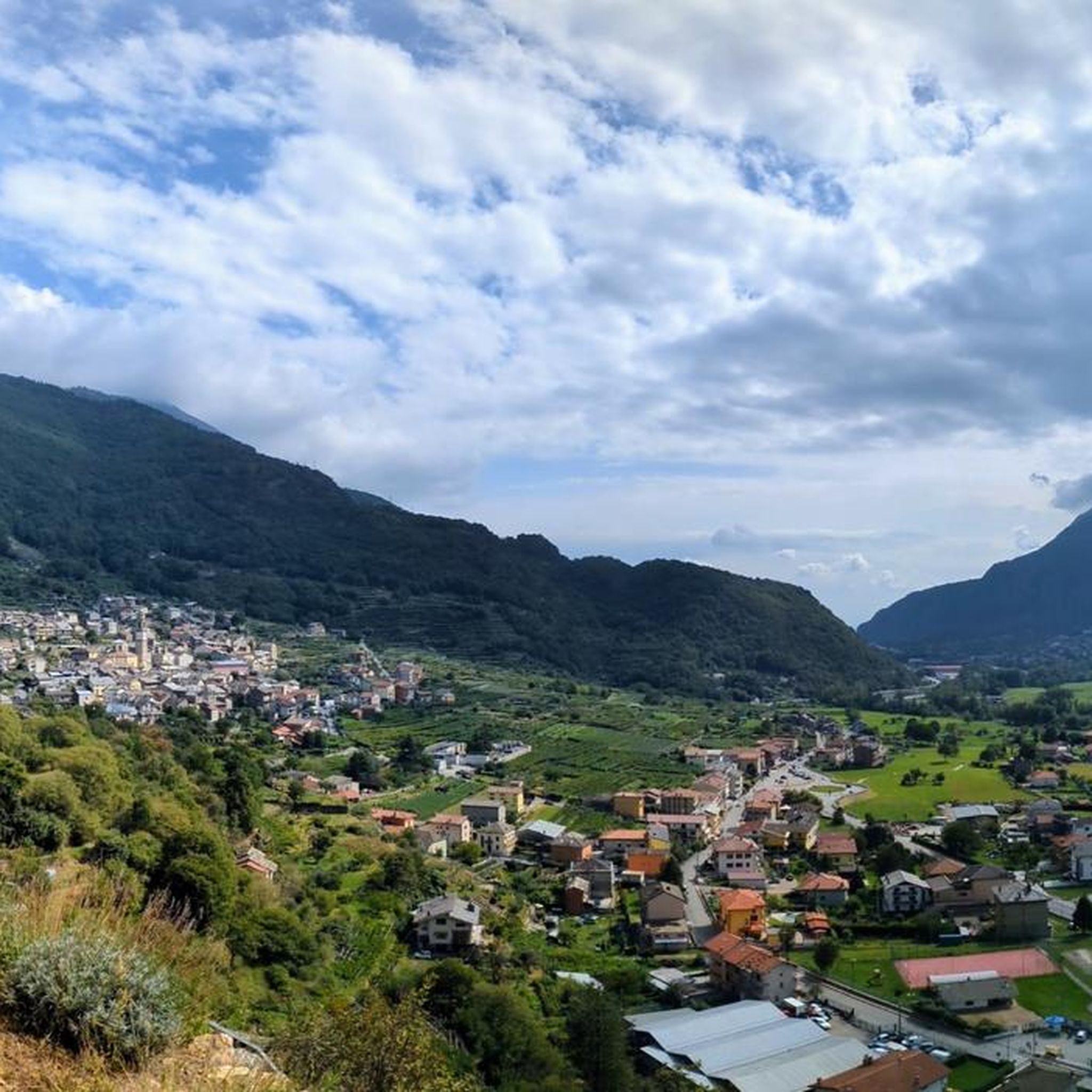
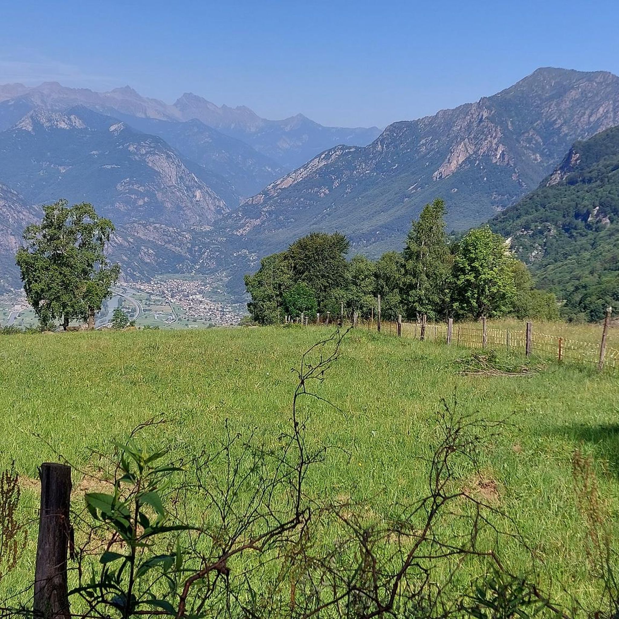
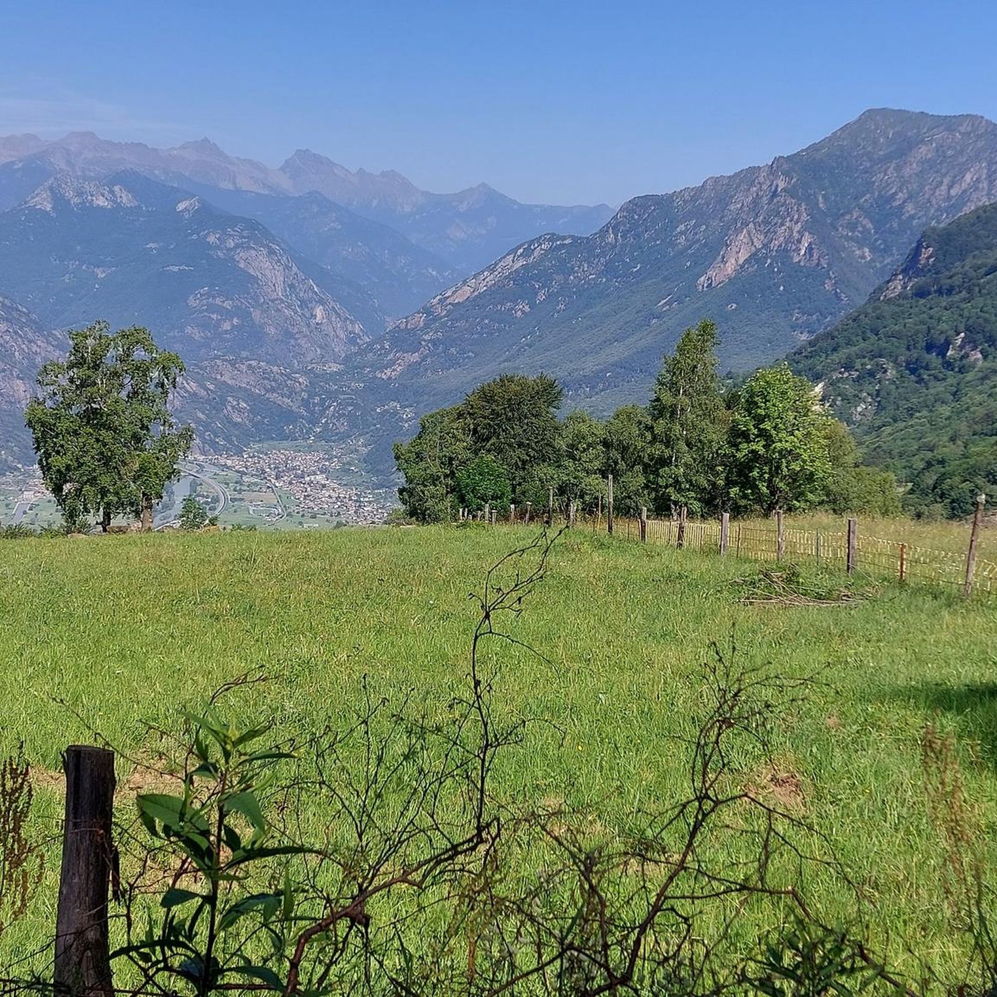

Other adventures around Carema

Tips from the Community

The Forte di Bard seen from the bridge over the Dora Baltea river offers one of the most iconic and photographed views in the Aosta Valley. This spectacular perspective captures the imposing, craggy fortress that dominates the village below and the river waters.
0
0

The Castello di Suzey stands on an inaccessible rocky spur, in a position that in the 14th century guaranteed absolute control over the transit of the Lys valley. The structure is a classic example of a medieval enclosure castle, dominated by a massive quadrangular tower and surrounded by the remains of a fortified village now swallowed by vegetation. This stronghold was the headquarters of the lords of Suzey, a branch of the Vallaise known for their bellicose nature and independence from central powers. A famous anecdote concerns the family's determination to defend their privileges: it is said that the lords of Suzey imposed such severe transit taxes that they sparked fierce disputes with merchants and neighboring communities, turning the castle into a sort of armed customs post. A local legend also tells that the castle was connected to the other Vallaise properties in Perloz via a network of secret passages dug directly into the rock, used to move troops and riches away from prying eyes during sieges. Another popular tale describes the castle's end as a dramatic event: a devastating fire, which broke out during an enemy attack, would have marked the definitive abandonment of the structure.
0
0
The stone bridge of Lillianes, completed in 1733, represents a hydraulic work of exceptional value for the Lys Valley, being the only historic bridge in the region structured on four round arches. The choice of this configuration, supported by robust piers equipped with cut-water spurs, was dictated by the need to span a section of the Lys stream particularly subject to violent floods. The roadway, made with a characteristic donkey-back shape in local stone, hosts a votive shrine dedicated to Saint Roch in the center, historically placed to protect travelers against pestilences. A relevant anecdote concerns the complex financing of the work: the local community, in order not to depend exclusively on central subsidies, chose to heavily tax themselves through the "taglioni" system, a form of mandatory contribution based on land ownership. It is said that the families of the village contributed not only with money but also by providing labor and materials, as the bridge was considered vital for the economy linked to the chestnut trade and transhumance. Another curious detail concerns its incredible resistance: during past floods, while other wooden or lighter structures were swept away, the bridge of Lillianes remained intact, consolidating its fame as an indestructible monument and a symbol of unity for the entire valley population.
0
0
The historic center of Perloz constitutes an architectural nucleus of considerable interest for understanding the social and political dynamics of the lower Aosta Valley. The heart of the settlement is represented by the Casaforte Vallaise, a 14th-century quadrangular structure that served as the administrative and judicial center for the noble family of the same name. The building preserves medieval construction elements, including the coat of arms carved on the portals, a testament to the exercise of jurisdictional power over the territory. A short distance away stands the parish church of San Salvatore, characterized by a facade entirely frescoed with a representation of the Last Judgment dating back to the 17th century, a work that served as a tool for religious instruction for the local population. The monumental route continues with the Museum of the Resistance, housed in premises that recall the historical memory of the "Brigata Lys". Here, documents and artifacts related to the events of 1944 are preserved, when the village became a fundamental operational center for the partisan formations in the area. Walking through the narrow stone streets, one also notices the presence of numerous stone fountains and community ovens, symbols of the collective management of rural resources. This stratification of different eras, from medieval feudalism to contemporary history, makes the center of Perloz a relevant technical and cultural stop for those crossing the slopes of the Lys valley.
0
0

From this point, you can enjoy a splendid view of Verrès Castle, an imposing 14th-century medieval fortress that dominates the valley and adds a fascinating historical touch to the surrounding landscape. Built by the Challant family for defensive and residential purposes, it is today one of the best-preserved medieval castles in the region.
2
0


Good place to stop and fill your water bottles
0
0

Be careful, the old road that leads to Bard is blocked by a landslide, but they made a variant with a climb of about 100m with a gradient that reaches 30% (at least the Garmin reported this)
0
0
Frequently Asked Questions
How many touring cycling routes are available around Carema?
There are nearly 100 touring cycling routes around Carema, offering a wide range of options for different skill levels. This includes about 20 easy routes, 20 moderate routes, and over 50 difficult routes, ensuring a suitable challenge for every cyclist.
What kind of terrain can I expect on touring cycling routes in Carema?
Touring cycling routes around Carema navigate a diverse landscape characterized by its position in the Aosta Valley. You'll find a mix of terrain, from flatter sections along river valleys to more challenging ascents into the surrounding hills, often traversing both developed areas and natural environments.
Are there any family-friendly touring cycling routes in Carema?
Yes, Carema offers several easier routes suitable for families. While specific 'family-friendly' designations aren't always explicit, the region has about 20 easy touring cycling routes that typically feature less elevation gain and shorter distances, making them more accessible for a relaxed family outing.
What are some scenic viewpoints or hidden gems for touring cyclists in Carema?
The region is rich in historical structures and natural beauty. For instance, the route View of Andrate and the valley – Castello di Montestrutto loop from Quincinetto offers picturesque views. You can also explore historical sites like Fort Bard, which is along the route Fort Bard – Echallod Stone Bridge loop from Pont-Saint-Martin.
What do other touring cyclists enjoy most about cycling in Carema?
The touring cycling routes in Carema are highly rated by the komoot community, with an average score of 4.3 stars from over 100 reviews. Cyclists often praise the varied terrain, from river valleys to undulating hills, and the opportunity to explore historical sites and natural environments.
Are there any circular touring cycling routes around Carema?
Many of the touring cycling routes in Carema are designed as loops, allowing you to start and end in the same location. Examples include the Ponte in Pietra di Lillianes – Lago Gover loop from Pont-Saint-Martin and the Path to Fiorano loop from Pont-Saint-Martin.
What kind of historical landmarks or attractions can I see along the routes?
Carema's routes often pass by significant historical landmarks. You can visit Fort Bard, a prominent fortress, or the Montestrutto Castle and Church. The route Pont-Saint-Martin – Roman Arch and Road in Donnas loop from Quincinetto specifically highlights Roman heritage.
What is the best season for touring cycling in Carema?
Given its location in the Aosta Valley with varying elevations, spring and autumn generally offer the most pleasant conditions for touring cycling in Carema, with milder temperatures and beautiful scenery. Summer can be warm, especially in the valleys, while winter may present challenges with snow or colder temperatures at higher altitudes.
Are there options for advanced touring cyclists seeking a challenge?
Absolutely. Carema is home to over 50 difficult touring cycling routes, many featuring significant elevation changes. For example, the Ponte in Pietra di Lillianes – Lago Gover loop from Pont-Saint-Martin is a challenging 82.5 km path with considerable elevation gain, perfect for experienced riders.
Is public transport available to access touring cycling routes in Carema?
Carema and surrounding towns like Pont-Saint-Martin are generally accessible by public transport, including regional trains and buses. It's advisable to check local timetables and policies regarding bicycle transport before planning your trip, as services can vary.
Are there any huts or shelters along the touring cycling routes in Carema?
While the touring cycling routes primarily focus on the valleys and lower hills, the broader region around Carema does have mountain huts and shelters. Some notable ones include Rifugio della Balma and Delfo and Agostino Coda Hut, which might be accessible via connecting paths or as destinations for longer rides.
Most popular attractions around Carema

Get inspired with the komoot mobile app


Explore more
Browse the best Cycling routes in other regions.
