The best walks and hikes around Pancalieri
4.6
(130)
860
hikers
54
hikes
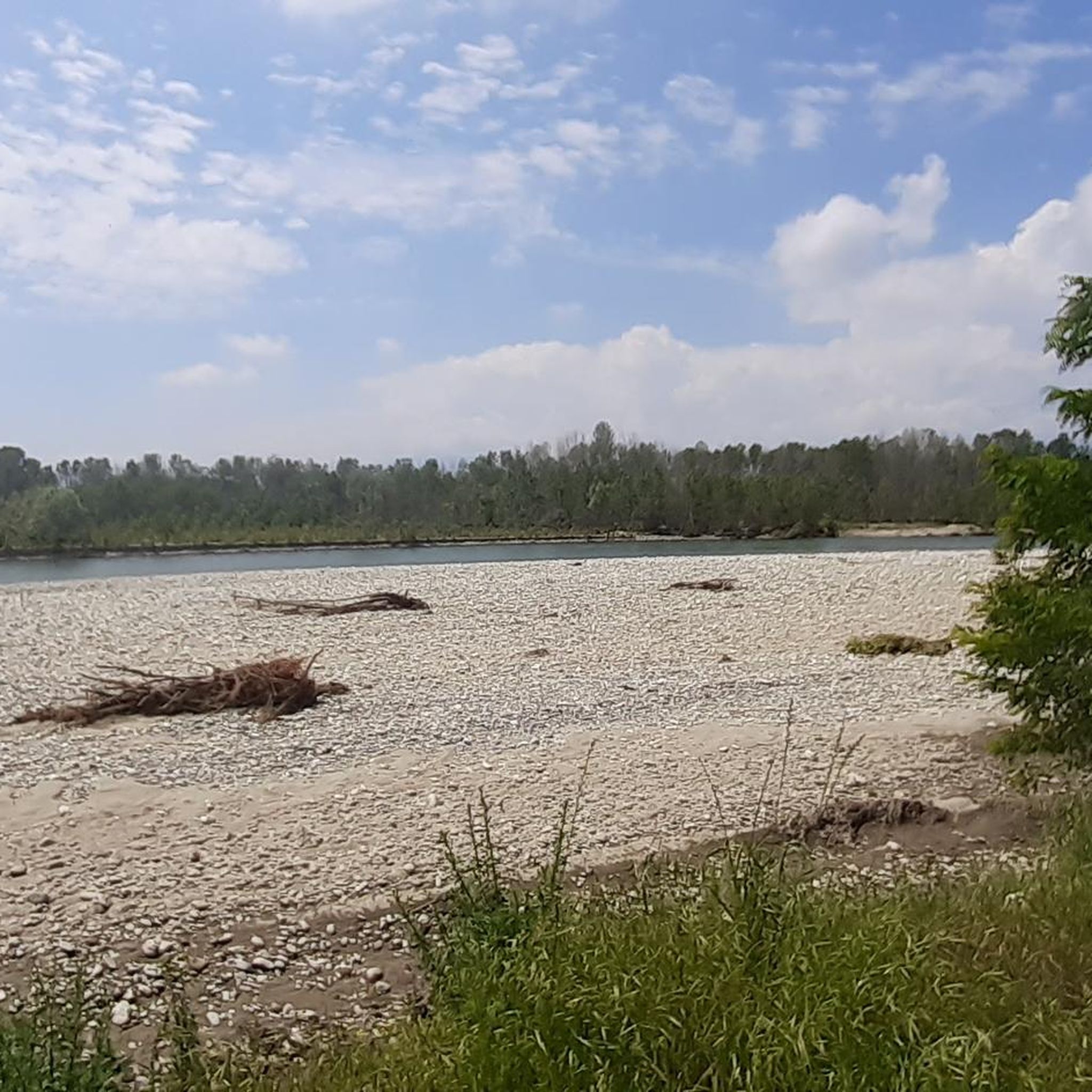
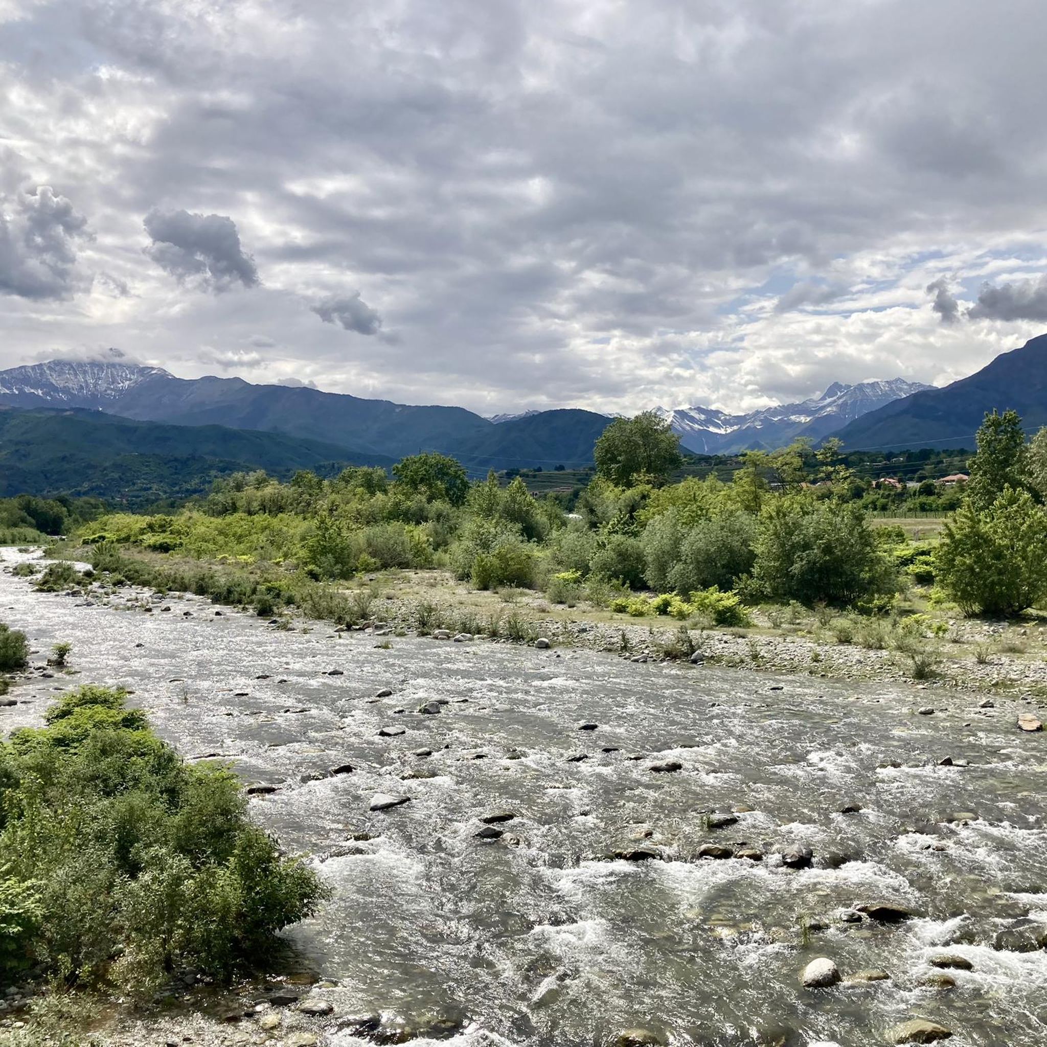
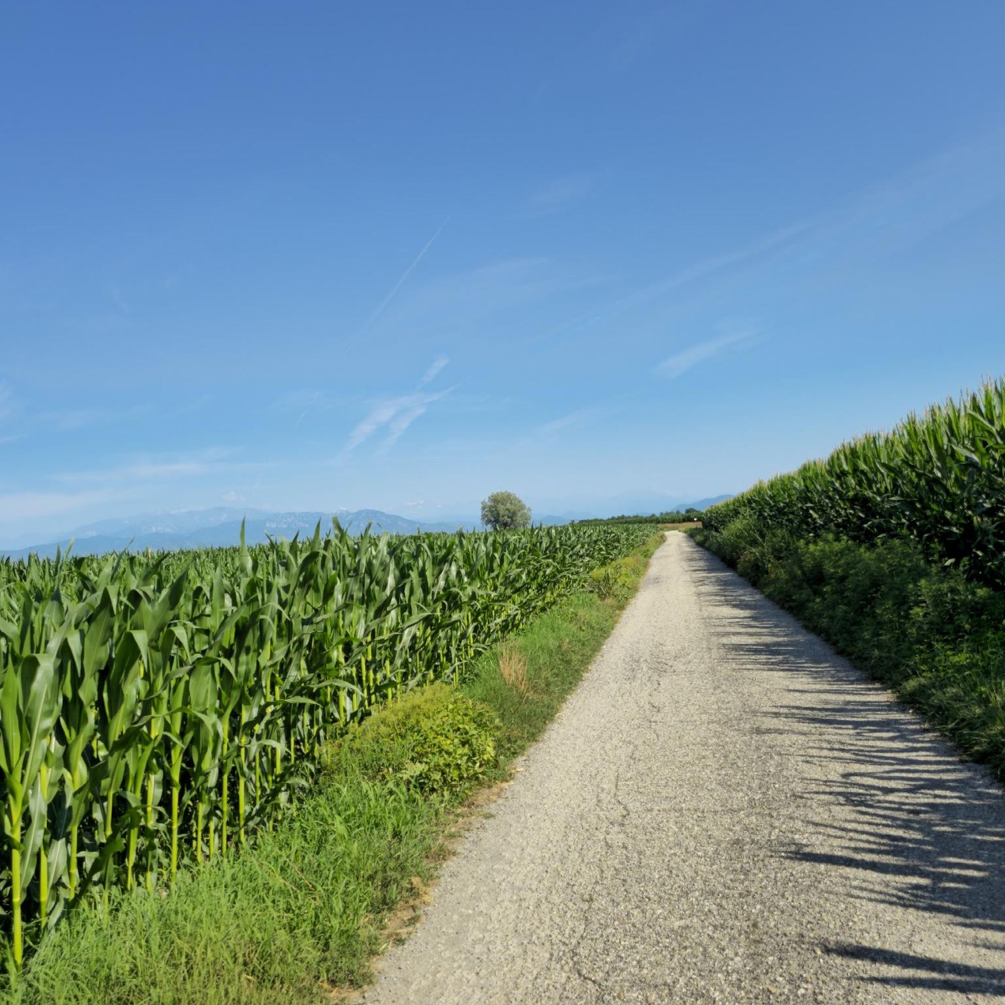
Hiking around Pancalieri offers access to the diverse landscapes of the Piedmont region, characterized by the expansive plains of the Po River, gentle rolling hills, and the distant backdrop of the Alps. The immediate area features riverine environments and agricultural lands, providing flat and accessible routes. This geographical setting allows for varied hiking experiences, from leisurely walks along waterways to more challenging trails in the nearby foothills.
Best hiking trails around Pancalieri
- The most popular hiking route is Sentiero delle Ochette (Po River Trail with Geese), a 7.9 miles (12.7 km) trail that takes 3 hours 13 minutes to complete, following the Po River.
- Another top favourite among local hikers is Drinking fountain loop from Villafranca Piemonte, an easy 4.1 miles (6.6 km) path. This route offers a gentle walk through the local countryside.
- Local hikers also love the Big Bench 264 Moretta – The Ochette Trail loop from Moretta, a 5.6 miles (8.9 km) trail leading through agricultural landscapes and along the Ochette Trail, often completed in about 2 hours 15 minutes.
- Hiking around Pancalieri is defined by Po River plains, agricultural fields, and proximity to the gentle hills of Piedmont. The network offers options for different ability levels, from easy riverside strolls to moderate loops through the countryside.
- The routes in Pancalieri are highly rated by the komoot community with an average score of 4.5 stars from over 100 reviews. More than 700 hikers have used komoot to explore Pancalieri's varied terrain.
Last updated: July 15, 2026
4.5
(2)
33
hikers
6.54km
01:39
10m
10m
Easy hike. Great for any fitness level. Easily-accessible paths. Suitable for all skill levels.
3.0
(2)
15
hikers
Easy hike. Great for any fitness level. Easily-accessible paths. Suitable for all skill levels.

Sign up for free
5.0
(2)
11
hikers
9.80km
02:29
20m
20m
Moderate hike. Good fitness required. Easily-accessible paths. Suitable for all skill levels.
4.3
(3)
7
hikers
11.7km
03:00
20m
20m
Moderate hike. Good fitness required. Easily-accessible paths. Suitable for all skill levels.
5.0
(1)
8
hikers
4.31km
01:05
10m
10m
Easy hike. Great for any fitness level. Easily-accessible paths. Suitable for all skill levels.
Get access to more routes and recommendations from other explorers.
Sign up for free
Already have an account?
Our route recommendations are based on thousands of hikes, rides, and runs completed by other people on komoot.
Start today with a free account
Your next adventure awaits.
Login or Signup

Tips from the Community

Just at the exit of the Airasca-Moretta cycle path, a perfect place for a prolonged stop, in the shade and with water available, immersed in the quiet.
0
0

The Sanctuary of the Blessed Virgin of the Pilone originates from an extraordinary event: according to the chronicles, on July 23, 1684, a votive pillar dedicated to the Madonna began to mysteriously swing for several days, attracting crowds of faithful. On August 7, the first mass was celebrated under a tent, followed by the construction of a chapel to protect the Pilone. However, the influx of pilgrims made a larger building necessary: thus the current sanctuary was born, designed by the architect Gian Francesco Baroncelli, with a three-nave structure that still today houses the original chapel.
1
0
On the old railway (now cycle path) Airasca-Moretta, the former railway toll booth of Vigone has been revisited in a modern key to welcome cycle tourists in the small town with an enviable look. Restyling performed by the artist Coco Cano.
1
0

Beautiful bike path. Avoid Sunday afternoons, too many people out and about (on foot).
0
0

Place of worship and prayer Via Po, 1, 12033 Moretta CN 017294148
1
1
Beautiful sanctuary at the end of the Airasca-Moretta cycle path.
0
0
This former railway toll booth near the former Vigone station has been recovered and repainted with geometric patterns, with a wonderful aesthetic effect. Congratulations to the creators and makers.
0
0

excellent cycle path away from traffic with a view of Monviso
0
0
Frequently Asked Questions
How many hiking trails are available around Pancalieri?
Pancalieri offers a good selection of hiking opportunities, with over 35 trails available. These routes cater to various fitness levels, from easy strolls to more challenging treks.
What kind of terrain can I expect on hikes near Pancalieri?
Hikes around Pancalieri primarily feature the expansive plains of the Po River and agricultural fields, offering mostly flat and accessible routes. You'll also find gentle rolling hills characteristic of the Piedmont region. While the immediate area is flatter, the distant backdrop of the Alps provides a stunning panorama and access to more mountainous terrain further afield.
Are there easy hiking options suitable for beginners or families?
Yes, Pancalieri is well-suited for beginners and families, with 20 easy trails available. An example is the Drinking fountain loop from Villafranca Piemonte, an easy 4.1-mile (6.6 km) path that offers a gentle walk through the local countryside.
Are there any circular hiking routes near Pancalieri?
Yes, several circular routes are available. For instance, the Big Bench 264 Moretta – The Ochette Trail loop from Moretta is a 5.6-mile (8.9 km) loop that takes you through agricultural landscapes. Another option is the Drinking fountain – The Ochette Trail loop from Moretta, an easy 3.6-mile (5.8 km) loop.
What natural attractions or landmarks can I see while hiking around Pancalieri?
While hiking, you can explore several natural monuments and points of interest. Notable natural sites include the Bosco del Merlino and the Lanca di San Michele and Bosco del Gerbasso Nature Reserve, both offering serene forest environments. You might also encounter the Fontanile Ulè Spring or the impressive Monumental Oak of Villafranca Piemonte.
Are there any historical or cultural sites accessible from the trails?
Yes, some trails might lead you near historical and cultural points of interest. For example, the Racconigi Royal Castle is a significant historical landmark in the broader area, and the Historic Center of Cavallerleone offers a glimpse into local heritage.
What is the best time of year to go hiking in Pancalieri?
The best time to hike in Pancalieri and the wider Piedmont region is generally during spring (April-May) and autumn (September-October). During these seasons, the weather is mild, and the landscapes are particularly beautiful, whether with spring blossoms or autumn colors. Summer can be hot, especially in the plains, while winter hikes are possible but may require appropriate gear for colder conditions.
Can I hike with my dog on trails around Pancalieri?
Many trails in the Piedmont region are dog-friendly, especially those in rural and natural areas like Pancalieri. It's always recommended to keep your dog on a leash, especially near agricultural fields or in nature reserves, to protect wildlife and respect local regulations. Always carry water for your pet and clean up after them.
What do other hikers enjoy most about the trails in Pancalieri?
The trails in Pancalieri are highly rated by the komoot community, with an average score of 4.5 stars from over 100 reviews. Hikers often praise the peaceful rural landscapes, the accessibility of the routes, and the opportunity to experience the Po River environment. The variety of easy and moderate paths also makes it popular for different activity levels.
Is public transport available to reach hiking trailheads near Pancalieri?
Pancalieri is part of the Metropolitan City of Turin, which has a regional public transport network. While direct public transport to every trailhead might be limited, local bus services connect Pancalieri to nearby towns. For specific routes, it's advisable to check local bus schedules to see if they align with your chosen starting points.
Are there any opportunities for birdwatching or wildlife spotting?
Yes, the Po River environment and nearby nature reserves like the Lanca di San Michele and Bosco del Gerbasso Nature Reserve offer excellent opportunities for birdwatching. The region is also home to the Racconigi Stork Center, indicating a rich avian presence. While hiking, you might spot various bird species and other small wildlife typical of riverine and agricultural landscapes.
Most popular routes around Pancalieri
Most popular attractions around Pancalieri

Get inspired with the komoot mobile app


Explore more
Browse the best Hikes in other regions.
