The best MTB trails around Sinzheim
4.5
(197)
684
riders
40
rides
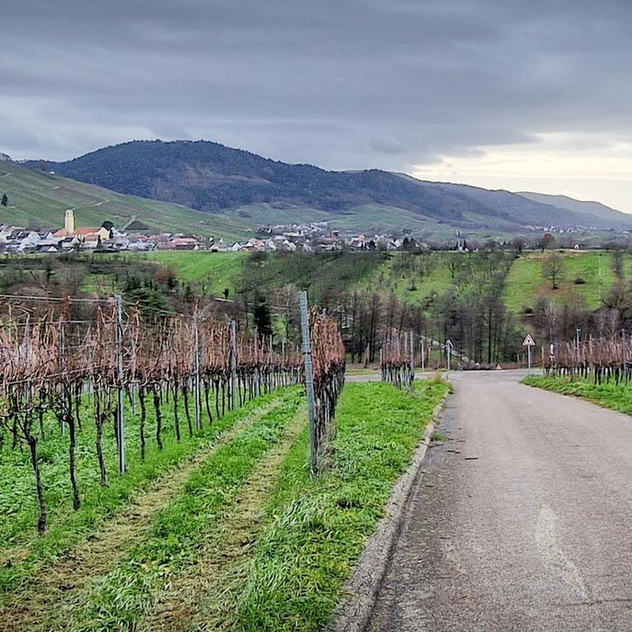
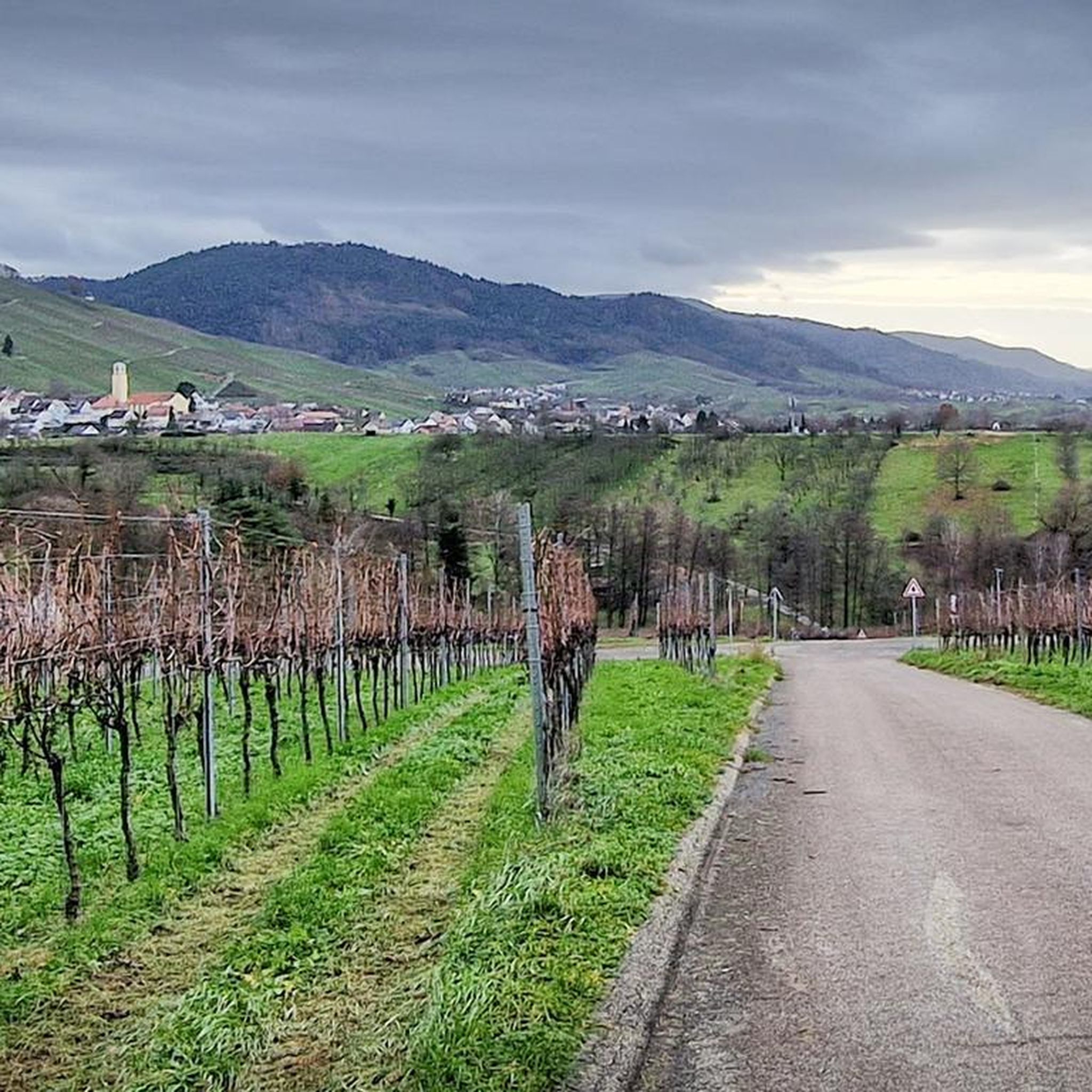
Mountain bike trails around Sinzheim are situated at the foothills of the Black Forest, offering a diverse landscape for outdoor activities. The region is characterized by gentle hills, dense forests, and vineyards, with the Rhine plain bordering to the west. The 525-meter-high Fremersberg mountain forms an eastern boundary, contributing to the varied terrain. Sinzheim itself is approximately 128 meters above sea level, providing a mix of ascents and descents for mountain bikers.
Best mountain bike trails in Sinzheim
- The most…
Last updated: September 25, 2026
4.6
(56)
141
riders
34.2km
03:29
990m
990m
Hard mountain bike ride. Very good fitness required. Advanced riding skills necessary.
4.8
(31)
79
riders
16.1km
01:38
450m
450m
Moderate mountain bike ride. Good fitness required. Suitable for all skill levels.

5.0
(16)
50
riders
Moderate mountain bike ride. Good fitness required. Suitable for all skill levels.
4.7
(27)
71
riders
23.6km
02:29
690m
690m
Moderate mountain bike ride. Good fitness required. Suitable for all skill levels.
4.6
(9)
36
riders
43.9km
02:25
160m
160m
Moderate mountain bike ride. Good fitness required. Suitable for all skill levels.
Get access to more routes and recommendations from other explorers.
Already have an account?
Our route recommendations are based on thousands of hikes, rides, and runs completed by other people on komoot.
Start today with a free account
Your next adventure awaits.


Tips from the Community

The approach from the Bildeiche hut with 🚵♂️ Organic Bike 😅.. a bit 🥵
0
0
best during the week 😅on weekends it's always busy, and please stay on the bike path🚵♂️
1
0

Attention: closed on Mondays and Tuesdays
0
0

Technically challenging and also playful trail downwards. We rode this with gravel bikes. It's possible, but you need to be able to steer well.
1
0

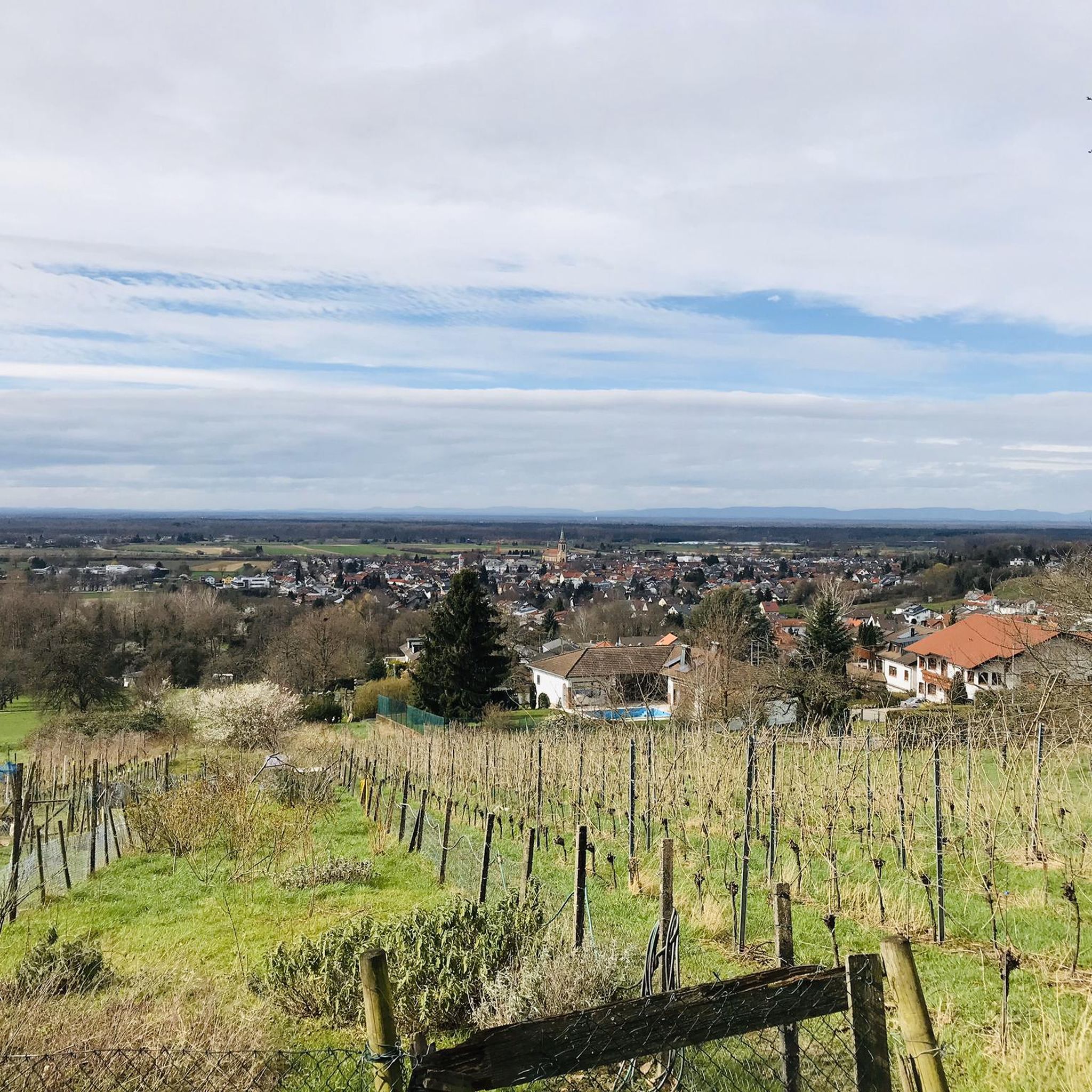
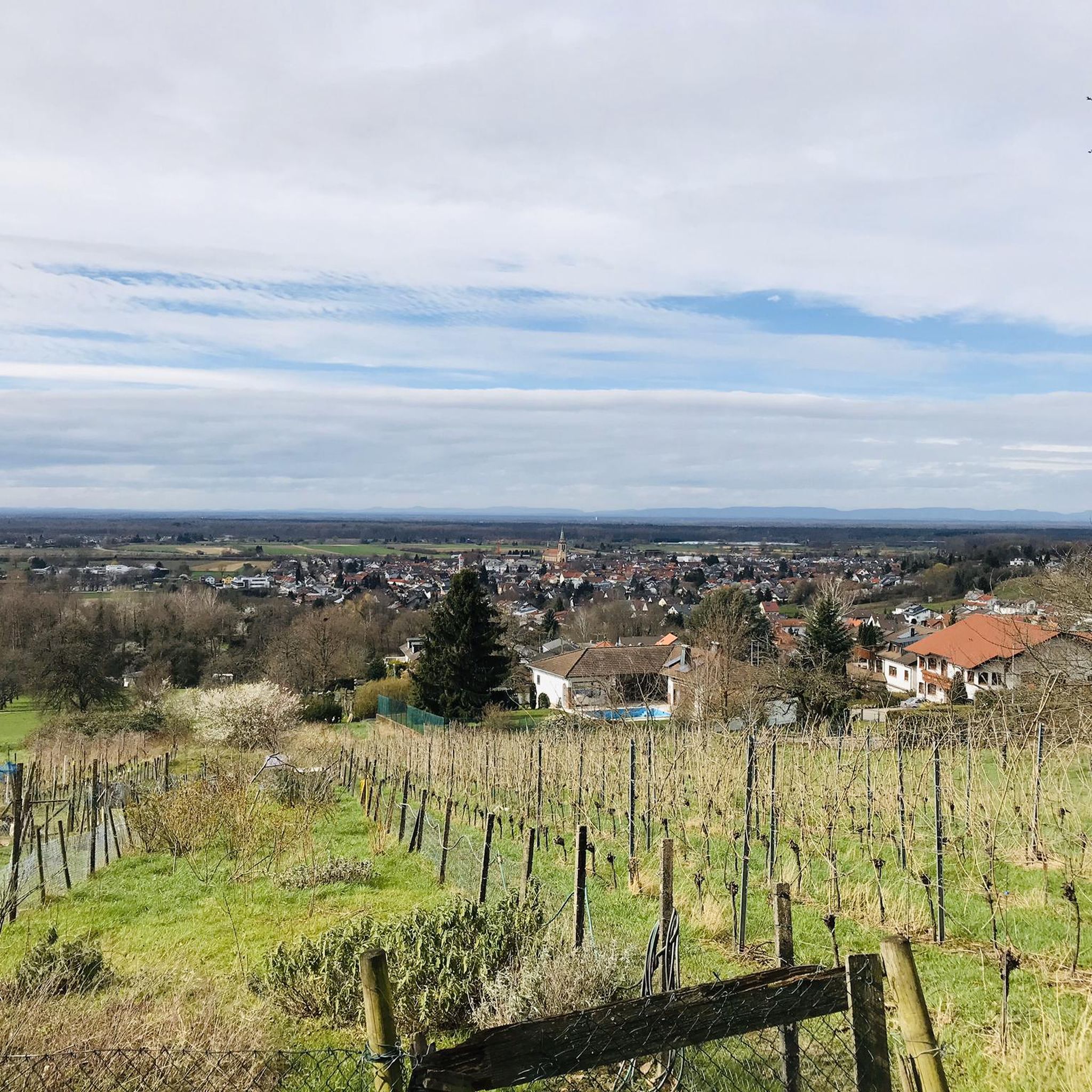
From here you have a great view over the vineyards down to Eisental and into the Rhine Valley. Because of this and the fact that you can drive directly up by car, you are often not alone in the pavilion.
0
0

Small, beautiful and quiet park with recreational and leisure facilities and a little gastronomy.
3
0


A quiet bench. The fountain didn't produce a drop of water in July 2025.
1
0
Frequently Asked Questions
How many mountain bike trails are available around Sinzheim?
There are over 40 mountain bike trails around Sinzheim listed on komoot. These routes offer a diverse range of experiences, from moderate climbs through forests to longer tours with varied terrain.
What is the general difficulty level of mountain biking in Sinzheim?
The majority of mountain bike trails in Sinzheim are rated as moderate, with 31 out of 41 routes falling into this category. There are also 6 easy and 4 difficult trails, ensuring options for various skill levels. The region's terrain includes gentle hills and dense forests, providing a good mix of ascents and descents.
Are there any circular mountain bike routes in Sinzheim?
Yes, many of the mountain bike routes around Sinzheim are designed as loops. For example, the Yburg Trail – Yburg Trail loop from Sinzheim is a popular circular route, as is the Fremersberg – Mountain bike route Sinzheim loop from Sinzheim, exploring the forested slopes of Fremersberg mountain.
What natural features can I expect to see while mountain biking in Sinzheim?
Sinzheim is nestled at the foothills of the Black Forest, offering a picturesque landscape of gentle hills, dense forests, and vineyards. You'll also find the Rhine plain bordering to the west and the 525-meter-high Fremersberg mountain to the east. The region's varied topography provides a beautiful backdrop for your rides.
Are there any waterfalls accessible from the mountain bike trails?
Yes, the region around Sinzheim features beautiful waterfalls. You can visit the captivating Gertelbach Waterfalls with their cascades and winding paths, or the Geroldsauer Waterfall. These natural spectacles offer great spots for a break during your ride.
What historical landmarks or viewpoints can I explore along the routes?
The area boasts several notable landmarks and viewpoints. The impressive ruins of Old Hohenbaden Castle, a former residence of the Margraves of Baden, are worth exploring. For panoramic views, consider the Friedrich Tower at Badener Höhe, which offers excellent vistas of the Rhine plain. The Merkur Tower (Merkurturm) – View from Merkur Mountain loop from Sinzheim Nord also provides stunning views.
What do other mountain bikers say about the trails in Sinzheim?
The mountain bike trails in Sinzheim are highly rated by the komoot community, with an average score of 4.6 stars from over 150 reviews. More than 600 mountain bikers have used komoot to explore the varied terrain, often praising the diverse landscapes, challenging climbs, and scenic forest paths.
Are there any trails suitable for families or beginners?
While many routes are moderate, there are 6 easy mountain bike trails available around Sinzheim. These routes typically feature less elevation gain and smoother terrain, making them more suitable for families or those new to mountain biking. Look for trails specifically marked as 'easy' on komoot for a more relaxed experience.
Can I bring my dog on the mountain bike trails in Sinzheim?
Many trails in forested and natural areas around Sinzheim are generally dog-friendly, provided dogs are kept on a leash and under control, especially when encountering wildlife or other trail users. Always check local regulations or specific trail signs for any restrictions before heading out with your dog.
Is there public transport access to the mountain bike trails?
Sinzheim is a municipality with local public transport connections. While specific trailheads might require a short ride or walk from a bus stop, the region's infrastructure generally allows for access to various starting points. It's advisable to check local bus schedules and routes to plan your journey to the desired trail.
Where can I find parking for mountain biking in Sinzheim?
Parking is typically available at common starting points for popular trails or near local amenities in Sinzheim. For routes like the Yburg Trail, you can often find designated parking areas. It's recommended to check the specific tour details on komoot for parking suggestions near your chosen trailhead.
Are there any cafes or places to stop for refreshments along the trails?
Yes, the region around Sinzheim, being close to vineyards and towns, offers opportunities for refreshments. The Kohlbergwiese Beer Garden – Kohlbergwies Viewpoint loop from Stollhofener Platte, for instance, suggests a stop at a beer garden. You'll find cafes and restaurants in Sinzheim itself and in nearby villages, perfect for a break before or after your ride.
Most popular routes around Sinzheim
Most popular attractions around Sinzheim

Get inspired with the komoot mobile app


Explore more
Browse the best MTB trails in other regions.
