The best walks and hikes around Bruino
4.4
(2205)
11,139
hikers
12
hikes
Hiking around Bruino offers a diverse landscape characterized by morainic hills, prominent peaks like Mount Cuneo, and serene natural parks. The region features a blend of natural beauty, including the Lakes of Avigliana and the golden fields of Stupinigi Natural Park. Hikers can explore varied terrain from forested paths to open landscapes, often with views of the surrounding valleys and historical sites. This area provides a range of outdoor experiences within the province of Torino.
Best hiking trails around Bruino
…Last updated: September 30, 2026
4.6
(38)
189
hikers
8.06km
03:17
520m
520m
Moderate hike. Good fitness required. Mostly accessible paths. Sure-footedness required.
4.5
(14)
51
hikers
Moderate hike. Good fitness required. Easily-accessible paths. Suitable for all skill levels.

4.5
(2)
32
hikers
5.80km
01:29
20m
20m
Easy hike. Great for any fitness level. Easily-accessible paths. Suitable for all skill levels.
4.6
(5)
16
hikers
7.13km
02:10
190m
190m
Moderate hike. Good fitness required. Mostly accessible paths. Sure-footedness required.
4.0
(5)
29
hikers
14.4km
04:56
520m
520m
Moderate hike. Good fitness required. Mostly accessible paths. Sure-footedness required.
Get access to more routes and recommendations from other explorers.
Already have an account?
Our route recommendations are based on thousands of hikes, rides, and runs completed by other people on komoot.
Start today with a free account
Your next adventure awaits.

Tips from the Community

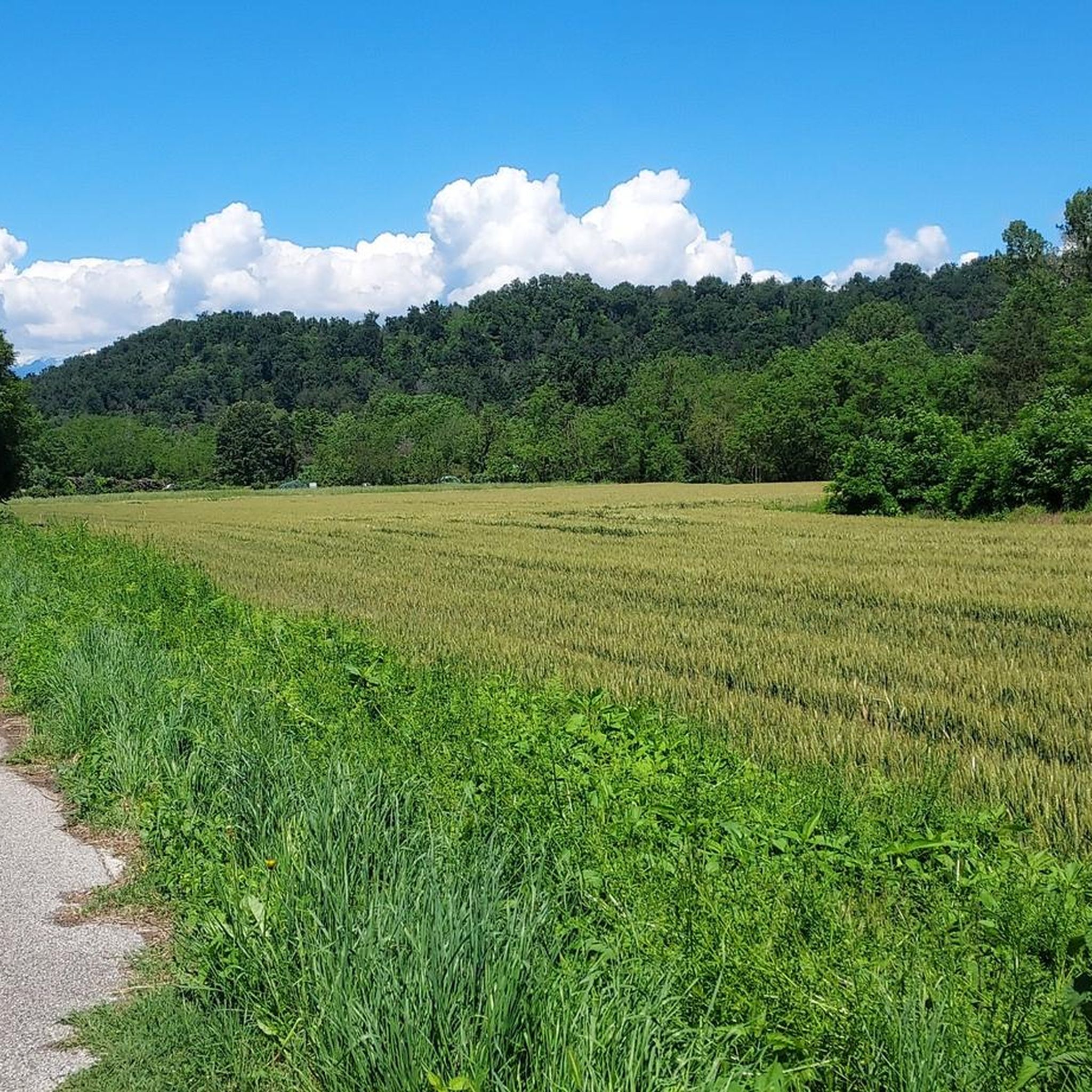
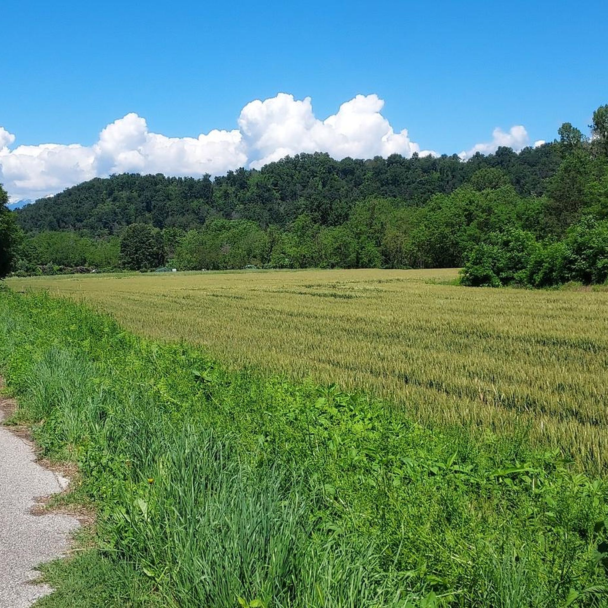
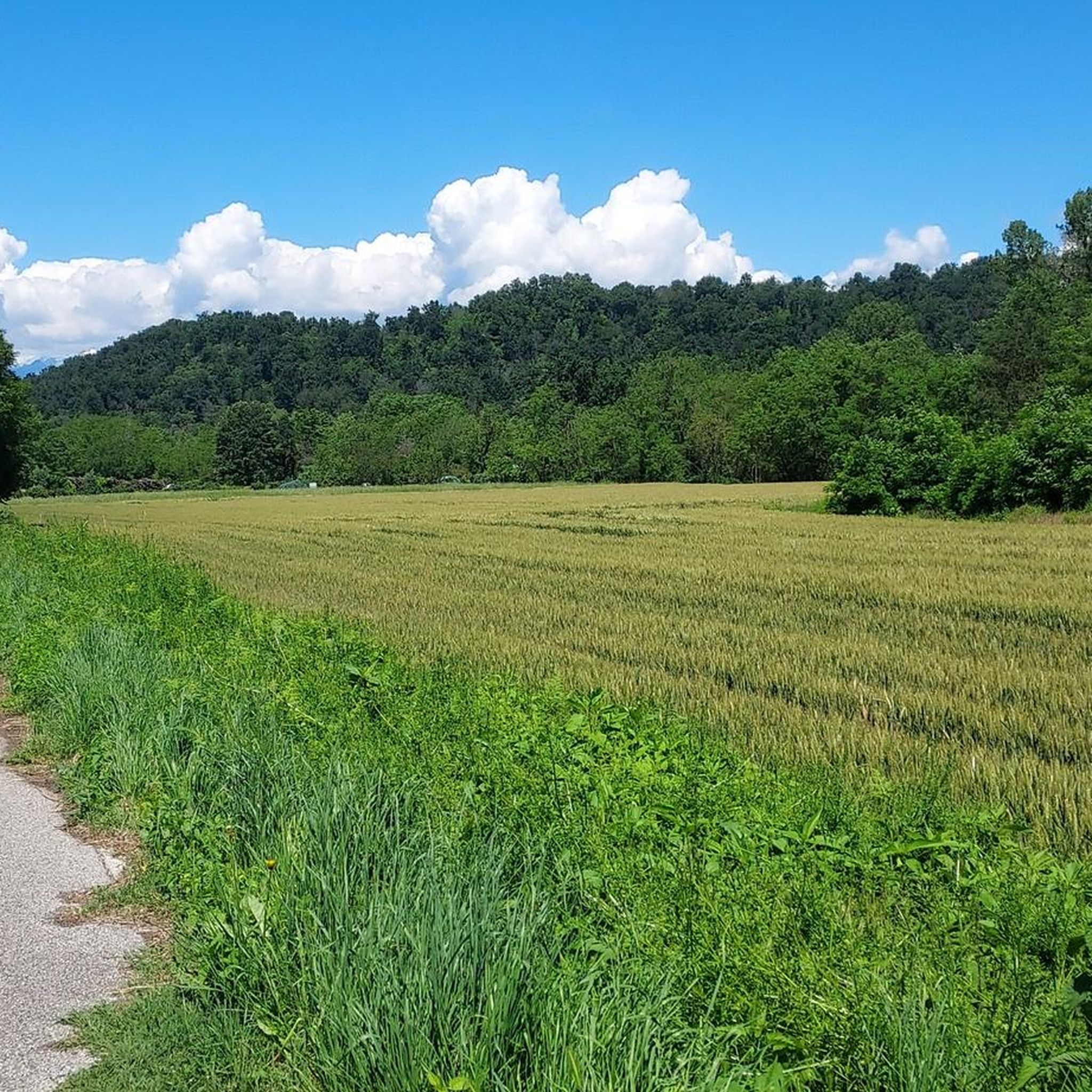
The dirt road leads from the Sangano bridge to the industrial area of Trana, running alongside the stream.
0
0
Cycle path on the right bank of the Sangone, connecting Sangano to Orbassano
0
0

Pleasant rest stop along the Sangone cycle path.
0
0

Small stone church right at the highest point of Mount San Giorgio
2
0
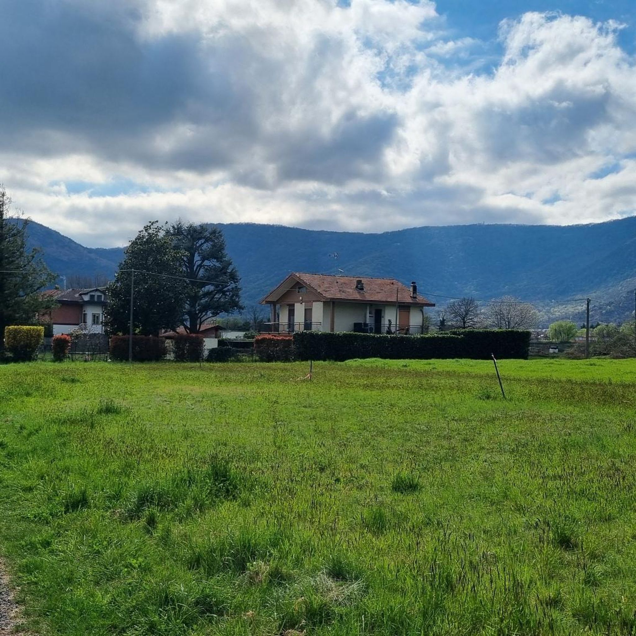
Dirt road from Piossasco to the chapel of San Valeriano. Significant slope, but very healthy surface without particular technical difficulties. At the top, beautiful view of the plain.
0
0

Panoramic mountain that offers a 360 degree view, with spectacular panoramas of the Turin plain and the Alps. Visible among the many, the Musinè and the Rocciamelone.
0
0

easy and pleasant immersed in nature Along the Sangone river
0
0

Frequently Asked Questions
How many hiking trails are available around Bruino?
Bruino and its surroundings offer a wide variety of hiking experiences, with over 380 routes available. These range from easy strolls through natural parks to more challenging ascents up prominent peaks.
Are there hiking trails suitable for families with children?
Yes, Bruino has many family-friendly options. With 127 easy routes, you can find gentle paths through areas like the Small Lake of Avigliana or the Stupinigi Natural Park, which features golden fields and leafy woods perfect for leisurely walks.
Can I bring my dog on the hiking trails in Bruino?
Many trails around Bruino are suitable for dogs, especially those through natural areas and less strenuous paths. It's always recommended to keep dogs on a leash and check local regulations for specific protected areas like the Parco Naturale Laghi di Avigliana.
What kind of landscapes can I expect to see while hiking near Bruino?
The region around Bruino is incredibly diverse. You'll encounter morainic hills, prominent peaks like Mount Cuneo offering expansive views, and serene natural parks. Expect a mix of forested paths, open fields, and the beautiful Lakes of Avigliana.
Are there any circular hiking routes in the area?
Yes, there are several circular routes. For example, the Monte San Giorgio – loop tour in the province of Torino is a moderate 5.8-mile (9.4 km) hike that takes you through varied terrain and offers great views.
What are some notable landmarks or attractions I can visit while hiking?
Hikers can explore several significant landmarks. The summit of Monte San Giorgio, marked by the Monte San Giorgio Summit and Cross, offers panoramic views. The nearby Lakes of Avigliana are also a major attraction, known for their natural beauty and birdwatching opportunities.
What is the best time of year to go hiking in Bruino?
Bruino offers hiking opportunities throughout much of the year. Spring and autumn provide pleasant temperatures and vibrant colors, while summer is ideal for higher elevations. Even winter can be beautiful for lower-level walks, though some higher trails may require appropriate gear.
Are there any hidden gems or less-known trails to explore?
The region around Bruino is known for having many 'hidden gems.' While specific trails are not highlighted as such, exploring the numerous moderate and easy routes, such as the CAI Trail 302 to Madonna del Bosco Nero Shrine, can lead you to tranquil spots away from the more frequented paths.
What do other hikers say about the trails in Bruino?
The hiking trails in Bruino are highly regarded by the komoot community, boasting an average rating of 4.5 stars from over 1700 reviews. Hikers frequently praise the diverse landscapes, well-maintained paths, and the rewarding views from peaks like Monte San Giorgio.
Are there options for more challenging hikes?
Absolutely. For those seeking a challenge, there are 54 difficult routes available. An example is the To Colle di Pre and Monte Pietraborga - Loop hike, a 7.7-mile (12.4 km) trail that includes significant elevation gain and takes nearly 5 hours to complete.
Is there public transport access to hiking trailheads near Bruino?
While specific public transport details for every trailhead are not available, Bruino is a municipality within the province of Torino, which generally has regional bus services. For specific routes, it's advisable to check local transport schedules to plan your access to trail starting points.
Where can I park my car for hiking in Bruino?
Parking availability varies by trailhead. Many popular starting points for trails, especially near natural parks or villages, typically offer designated parking areas. It's recommended to check the specific route details on komoot or local signage upon arrival for the most accurate parking information.
Most popular attractions around Bruino

Get inspired with the komoot mobile app


Explore more
Browse the best Hikes in other regions.
