The 10 Most Amazing Peaks around Barbania
Best mountain peaks around Barbania, a municipality in the Piedmont region of Italy, are located in the Metropolitan City of Turin. While Barbania itself is situated in the Malone river plain, the surrounding area offers various peaks for exploration. These peaks provide viewpoints and challenges for those seeking to experience the region's natural landscape. The Barbania geographical location allows access to these elevated areas.
Best mountain peaks around Barbania
- The most popular mountain peaks is Monte Soglio Summit and Madonna…
Last updated: October 4, 2026
Monte Soglio Summit and Madonna Statue
Highlight • Summit
Translated by Google •
Tip by

Bandit's Chapel and Fountain
Highlight • Religious Site
Translated by Google •
Tip by

Sign up now to discover places like this
Get recommendations on the best single tracks, peaks, & plenty of other exciting outdoor places.
Madonnina of the Alpini and Cross of Monte Momello
Highlight • Viewpoint
Translated by Google •
Tip by
Punta Prarosso
Highlight • Summit
Description
From Saccona 886 …
Translated by Google •
Tip by

Testa Brusà
Highlight • Summit
Translated by Google •
Tip by
Sign up for free to discover even more peaks around Barbania.
Already have an account?
Start today with a free account
Your next adventure awaits.

Tips from the Community

Reached several times from the Corio side and from the Alpette side. Below the summit from the Corio side, near Alpe Rossolo, there are always horses.
0
0

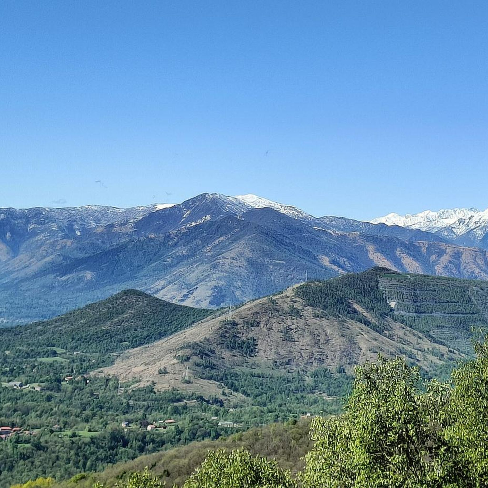
You can see everything and it can be reached from several different places
0
0

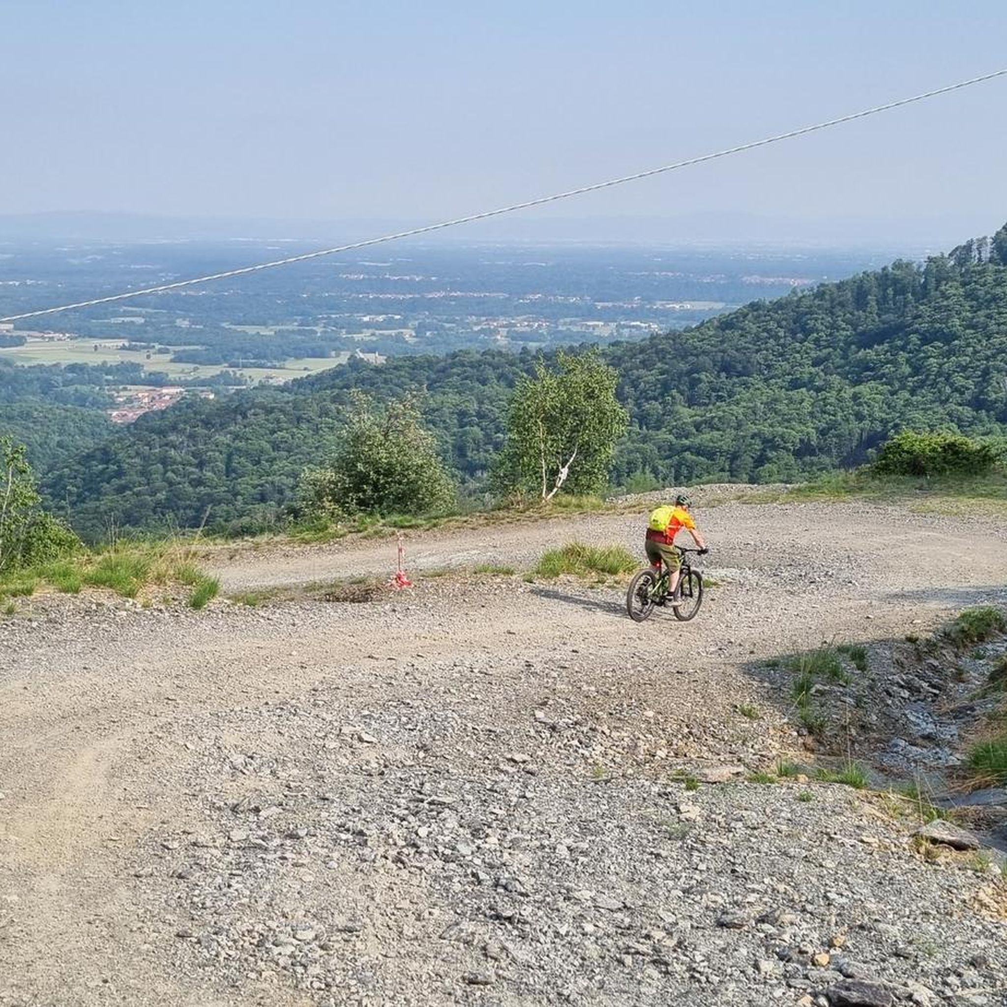
Maybe you can go up on an e-bike, but with a normal bike you have to push for about 10 minutes, however the view then makes up for the effort.
0
0

Comfortable pa china where to rest and there is also a water fountain
0
0

A peak that can be reached from several destinations, from where Mount Vaccarezza stands out, clearly visible in the distance.
0
0

Punta Prarosso is an underlying relief on the south-southeast summit of Cima dell'Angiolino, which functions as a watershed between Valle del Tesso and Valle del Malone. Description From Saccona 886 m, take the mule track to the right of the church in a northeasterly direction, hilly on a steep slope. Pass the Meini huts 985 m and equipped. Cross a dirt road, continue on meadows and maintain the maximum incline until you come to a majestic chestnut tree, then follow the mule track that enters the forest. Once you reach the dirt road that connects Saccona to Prarosso, which at that point descends to San Grato, follow it for about 50 meters. Leave the road at the first right turn to reach the Prarosso Huts 1081m up the path. Continue on the dirt road until just before it ends. Turn left in a northwesterly direction, after 50m follow the steepest slope in a northwesterly direction until you reach Punta Prarosso 1497m.
1
0

The Madonna degli Alpini can be reached via the path that descends from Monte Montello. The statue was created to remember the fallen of the wars and to protect the valleys.
0
0

Beautiful panorama, last stretch to get to push at times ....
0
0
Frequently Asked Questions
Where are the mountain peaks located in relation to Barbania?
While Barbania itself is situated in the Malone river plain, the mountain peaks mentioned are found in the surrounding areas of the Metropolitan City of Turin, within the Piedmont region of Italy. They are not directly within Barbania's municipal borders but are accessible from the area.
What are some of the most popular mountain peaks to visit near Barbania?
Visitors frequently enjoy Monte Soglio Summit and Madonna Statue, known for its 360-degree views and a unique Madonna statuette. Another popular spot is Madonnina of the Alpini and Cross of Monte Momello, which offers excellent panoramic views and includes a cross and a statue, reachable with a short walk.
Are there any historical or religious sites among the mountain peaks?
Yes, the region features several significant historical and religious sites. For example, the Bandit's Chapel and Fountain is a religious building and historical site completed in 1674, which has undergone renovations and remains in good condition. It also offers facilities.
What kind of views can I expect from the peaks around Barbania?
The peaks around Barbania offer diverse and often spectacular views. For instance, Monte Soglio Summit and Madonna Statue provides a 360-degree panorama of the surrounding area. Similarly, Testa Brusà is noted for its beautiful panorama after a short, scenic path.
Are there family-friendly options for exploring the mountain peaks?
Yes, some locations are considered family-friendly. The Bandit's Chapel and Fountain is categorized as family-friendly and offers facilities, making it a suitable stop for families. Many paths to viewpoints are also accessible for those with intermediate hiking experience.
What outdoor activities can I do near these mountain peaks?
The area around Barbania offers a variety of outdoor activities. You can explore numerous routes for gravel biking, mountain biking, and running. For example, there are many gravel biking routes listed in the Gravel biking around Barbania guide, and dedicated MTB Trails around Barbania.
Are there specific hiking trails near the mountain peaks?
Yes, the peaks are often part of or accessible via various hiking trails. For instance, Punta Prarosso can be reached from several destinations via mule tracks and paths. Many of the summits are reachable with intermediate difficulty hikes, offering rewarding views.
What is the best time of year to visit the mountain peaks around Barbania?
While specific seasonal details are not provided, mountain peaks are generally best visited during spring, summer, and early autumn for optimal weather conditions and clear views. Always check local weather forecasts before planning your trip, especially for higher elevations where conditions can change rapidly.
What do visitors appreciate most about the mountain peaks in this region?
Visitors frequently highlight the spectacular 360-degree views from summits like Monte Soglio Summit and Madonna Statue. The combination of challenging routes, historical sites, and panoramic viewpoints, often featuring religious monuments, is highly appreciated by the komoot community, as evidenced by numerous photos and upvotes.
Can I find facilities or amenities near the mountain trails?
Some locations offer facilities. For example, the Bandit's Chapel and Fountain is listed as having facilities. Additionally, near the Madonnina of the Alpini and Cross of Monte Momello, there is a small but cozy bivouac available.
Are there any running trails available near the mountain peaks?
Yes, the region offers several running trails. You can find various routes in the Running Trails around Barbania guide, including moderate and difficult options like the 'Laghetto dei Butiotti loop from Barbania' or 'Colle del Bandito loop from Levone'.
Most popular routes around Barbania
Most popular attractions around Barbania

Get inspired with the komoot mobile app


Explore more
See even more amazing summits around Barbania with these guides:
