The best walks and hikes around Trana
4.5
(297)
1,680
hikers
31
hikes
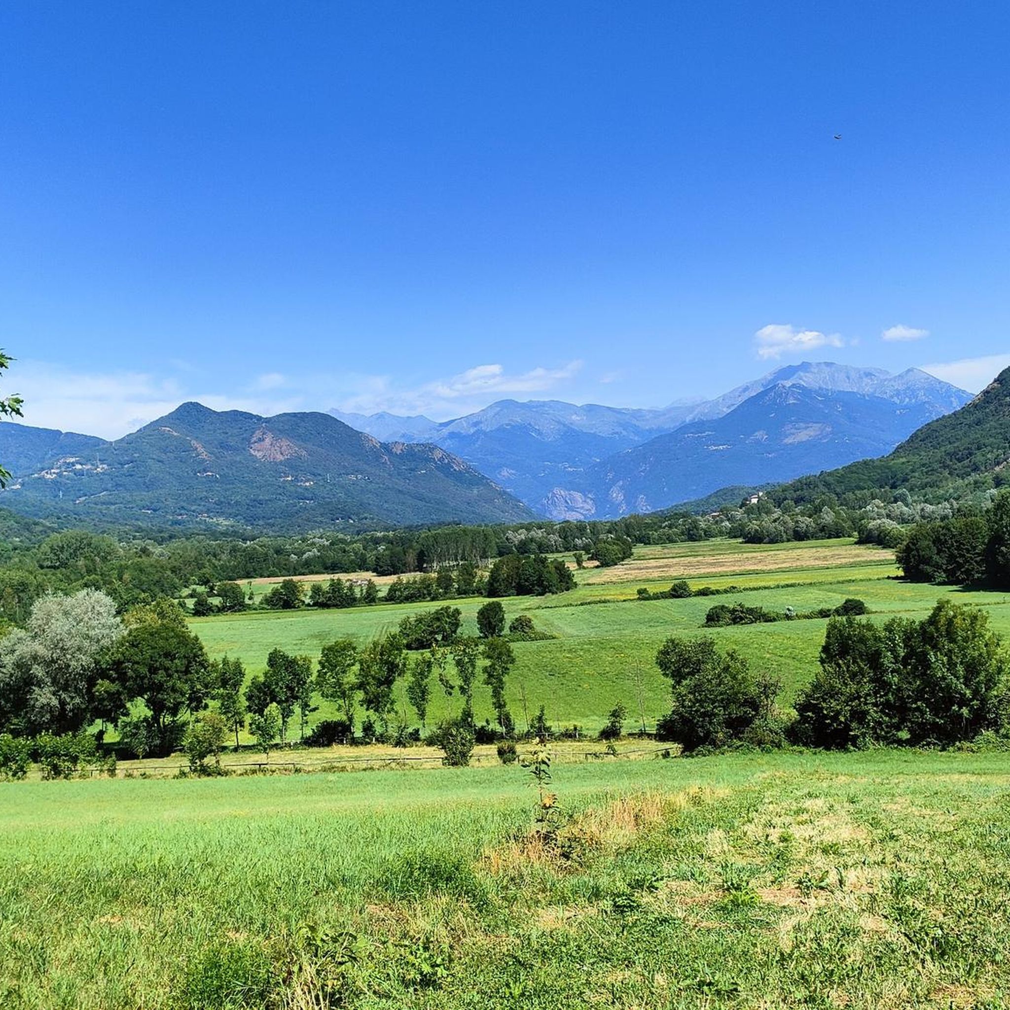
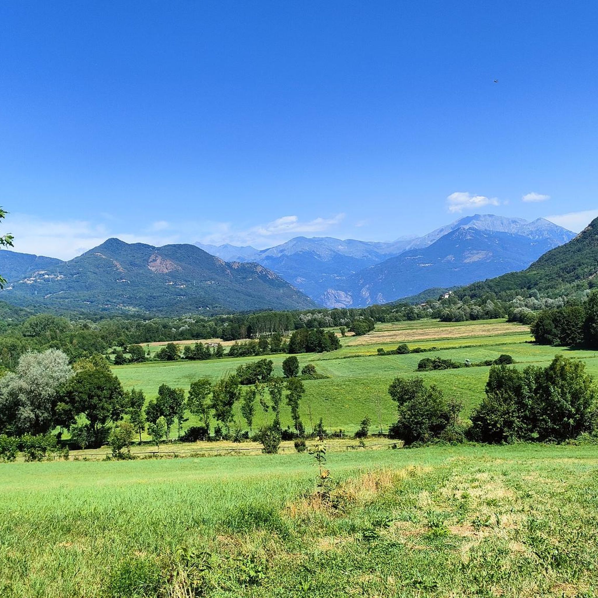
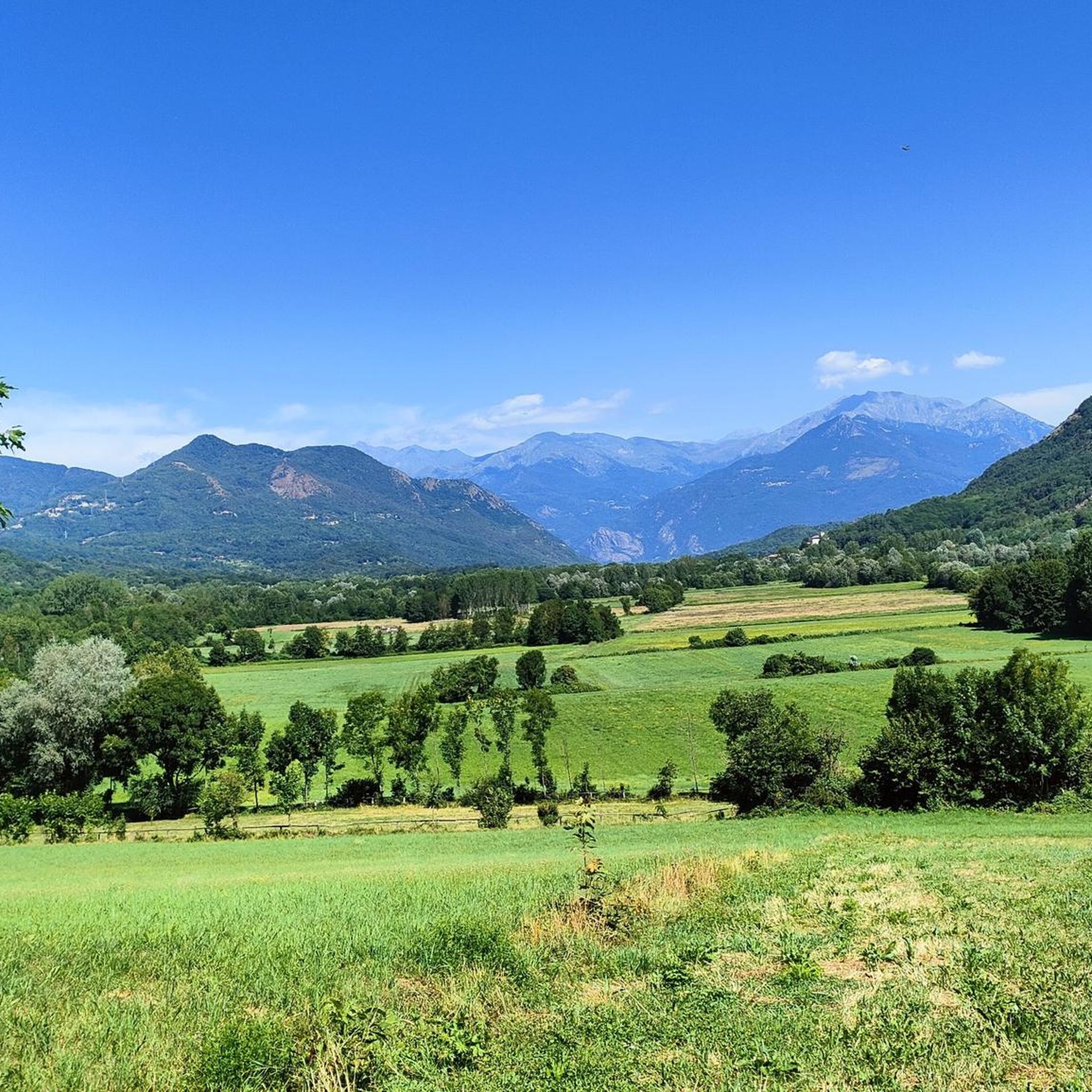
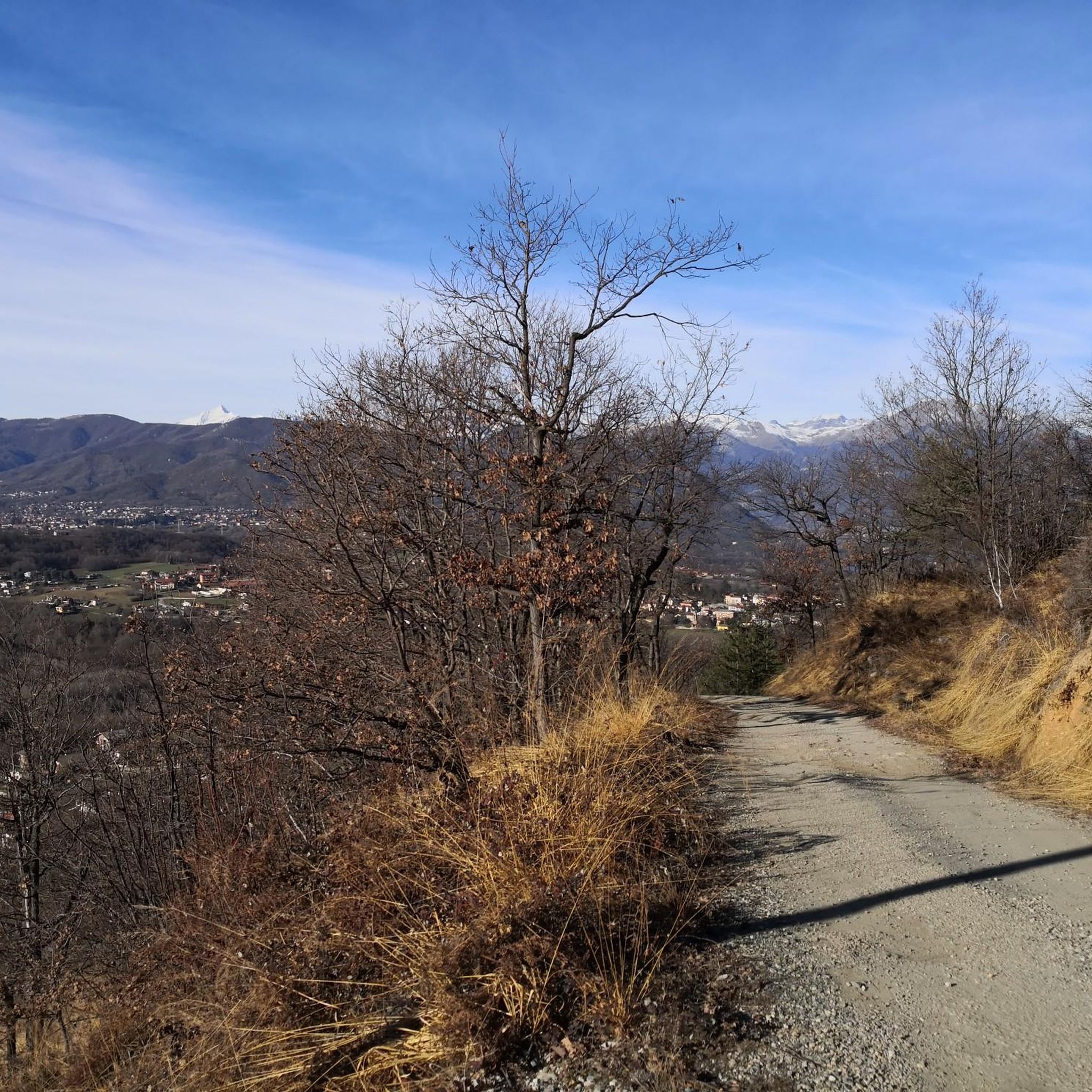
Hiking around Trana offers diverse landscapes, from mixed woods and beech forests to panoramic summits. The region is characterized by varied terrain, including enchanting views of the Chisola and Sangone valleys. Geological features like stone and kaolin quarries, alongside historical sites such as Roch Uss, add unique dimensions to the trails. Excursions also lead through environments shaped by the Ice Age, providing a rich tapestry of outdoor experiences.
Best hiking trails around Trana
- The most popular hiking route is Monte…
Last updated: August 5, 2026
4.6
(53)
103
hikers
8.13km
02:52
370m
370m
Moderate hike. Good fitness required. Mostly accessible paths. Sure-footedness required.
4.5
(13)
73
hikers
8.14km
02:52
430m
430m
Moderate hike. Good fitness required. Mostly accessible paths. Sure-footedness required.

Sign up for free
4.0
(5)
32
hikers
26.7km
08:03
750m
750m
Hard hike. Very good fitness required. Mostly accessible paths. Sure-footedness required.
4.3
(3)
9
hikers
Hard hike. Good fitness required. Sure-footedness, sturdy shoes and alpine experience required.
4.5
(2)
11
hikers
Moderate hike. Good fitness required. Easily-accessible paths. Suitable for all skill levels.
Get access to more routes and recommendations from other explorers.
Sign up for free
Already have an account?
Our route recommendations are based on thousands of hikes, rides, and runs completed by other people on komoot.
Start today with a free account
Your next adventure awaits.
Login or Signup


Tips from the Community

Nice installation near the summit of Moncuni
1
0

The Site of the Celts is an archaeological area on Monte Pietraborga, just below the summit towards Colle Damone (approx. 758 m), with serpentine boulders arranged in a circle and interpreted as megalithic dolmens and menhirs. These are large natural and worked rock blocks, some weighing several tons, dating back to the late Neolithic (3500-4000 years ago). They form a possible ritual site or observatory, with vertical menhirs and presumed dolmens; some show cup marks or engravings. Reachable in 5 minutes from the summit cross by descending northwest into the woods, along the path connecting Pietraborga to Colle Damone. It is marked as "Sito dei Celti – Menhir di Trana" on many hiking routes.
0
0
Monte Pietraborga Monte Pietraborga is a mountain in the Cottian Alps that rises to 926 m above sea level, located on the border between the municipalities of Trana, Sangano, and Piossasco, within the Monte San Giorgio Natural Park. From the summit, you can enjoy a 360° panorama, stretching from Monviso to Sacra di San Michele, with views of the Avigliana lakes and the Val Sangone. At the summit, there is a cross erected in 1900. The last few meters to the top are covered on foot in about two minutes: it is not possible to bring the MTB to the top, so you need to leave it just before. Just below the summit, in the direction of Colle Damone, lies the so-called "Sito dei Celti" (Celts' Site), an area with boulders interpreted as dolmens and menhirs. How to get there From Piossasco via Colle della Serva Ascending from Piossasco towards the cross of Monte San Giorgio, you reach Colle della Serva, a grassy clearing with a table and bench. Here you will find a path that connects the ascent route to Monte San Giorgio with the one towards Colle di Prè. From Col del Prè, continue in the direction of Pietraborga. The trail has some rock gardens but is generally passable on MTB, accounting for some short sections on foot. From Piossasco via Strada Bianca delle Prese Alternatively, Col del Prè can be reached by taking the white road (strada bianca) delle Prese from Piossasco.
0
0

Upper Trana village, very pretty and nicknamed the cradle of woodcutters due to the presence of numerous porcini mushrooms
0
0
The wide path passes between large erratic boulders, near Pietraborga
0
0
At the summit, where we find the Alpine Cross, on clear days there is a beautiful view of the Sangone Valley. Once we reach the Pratovigero sup. hamlet, we follow the clear signs.
0
0
I recommend a walk on the floating pedestrian walkway
0
0

The view of the Avigliana lakes is worth the hike, but it's not the best place for a quiet getaway, as it's always quite crowded with picnickers. The trail to get there is very easy.
1
0
Frequently Asked Questions
How many hiking trails are available in Trana?
Trana offers a diverse network of 26 hiking trails. This includes 1 easy route, 18 moderate routes, and 7 difficult routes, catering to various fitness levels and preferences.
What kind of landscapes can I expect to see while hiking in Trana?
Hiking in Trana takes you through diverse landscapes, including mixed woods and beech forests. You'll encounter enchanting views of the Chisola and Sangone valleys, as well as unique geological features like stone and kaolin quarries. Some routes also explore environments shaped by the Ice Age.
Are there any family-friendly hiking options in Trana?
Yes, Trana provides easy routes suitable for families with children. These paths allow younger hikers to enjoy the picturesque woodlands and natural beauty of the area.
What are some notable natural features or viewpoints along the trails?
Many trails offer rewarding views. A particularly steep path leads to the summit of Moncuni (Monte Cuneo), which provides a wide panorama of the entire plain and, on clear days, the Alpine arc. You can experience Ice Age-shaped environments around Lago Piccolo di Avigliana and Moncuni. For a challenging hike with expansive views, consider the View of Sacra di San Michele – Sacra di San Michele loop from Trana.
Are there any historical or cultural landmarks to explore near the hiking routes?
Yes, the region has several points of interest. The site of Roch Uss holds historical and geological significance. You can also find charming hamlets, particularly when hiking through the woods of Cumiana. For a route with historical context, try the Alpini Cross of Trana – Megalithic Site of Trana loop from San Bernardino. Additionally, the historic Sacra di San Michele is a prominent landmark in the wider area.
What do other hikers enjoy most about the trails in Trana?
The trails in Trana are highly rated by the komoot community, with an average score of 4.5 stars from over 240 reviews. Hikers often praise the diverse terrain, from challenging ascents to panoramic viewpoints, and the variety of natural and historical features along the routes.
Are there any circular hiking routes in Trana?
Yes, Trana offers several excellent circular routes. Popular options include the Monte Pietraborga Summit Cross – Pratovigero loop from Trana, which features a significant ascent, and the Dead Tree – Mount Cuneo (Moncuni) loop from Trana, offering moderate difficulty.
Can I find trails that lead to lakes or water features?
Yes, you can explore routes that feature water. The Lago Grande di Avigliana – Lake Grande of Avigliana loop from San Bernardino is a moderate trail that takes you around the beautiful Lake Grande of Avigliana, offering pleasant lakeside views.
What are some challenging hikes for experienced trekkers in Trana?
For experienced trekkers, Trana offers several difficult routes. The Monte Pietraborga Summit Cross – Pratovigero loop from Trana is a challenging 5.2-mile trail with a significant ascent. Another demanding option is the 16.6-mile View of Sacra di San Michele – Sacra di San Michele loop from Trana, known for its expansive views.
Are there any castles or historical buildings nearby that I can visit after a hike?
Yes, the Trana area is rich in historical architecture. You can visit the impressive Sacra di San Michele, a historic abbey. Other nearby castles include the Avigliana Castle and the Castello di Rivoli Museum of Contemporary Art.
What is the best time of year to go hiking in Trana?
Trana's diverse landscapes, with mixed woods and beech forests, offer varied scenery throughout the seasons. Spring and autumn are generally ideal for hiking, providing pleasant temperatures and vibrant natural colors. Summer can also be enjoyable, especially on shaded trails, while winter might offer unique snowy landscapes on higher routes.
Most popular attractions around Trana

Get inspired with the komoot mobile app


Explore more
Browse the best Hikes in other regions.
