The best walks and hikes around San Didero
4.4
(2054)
9,390
hikers
364
hikes
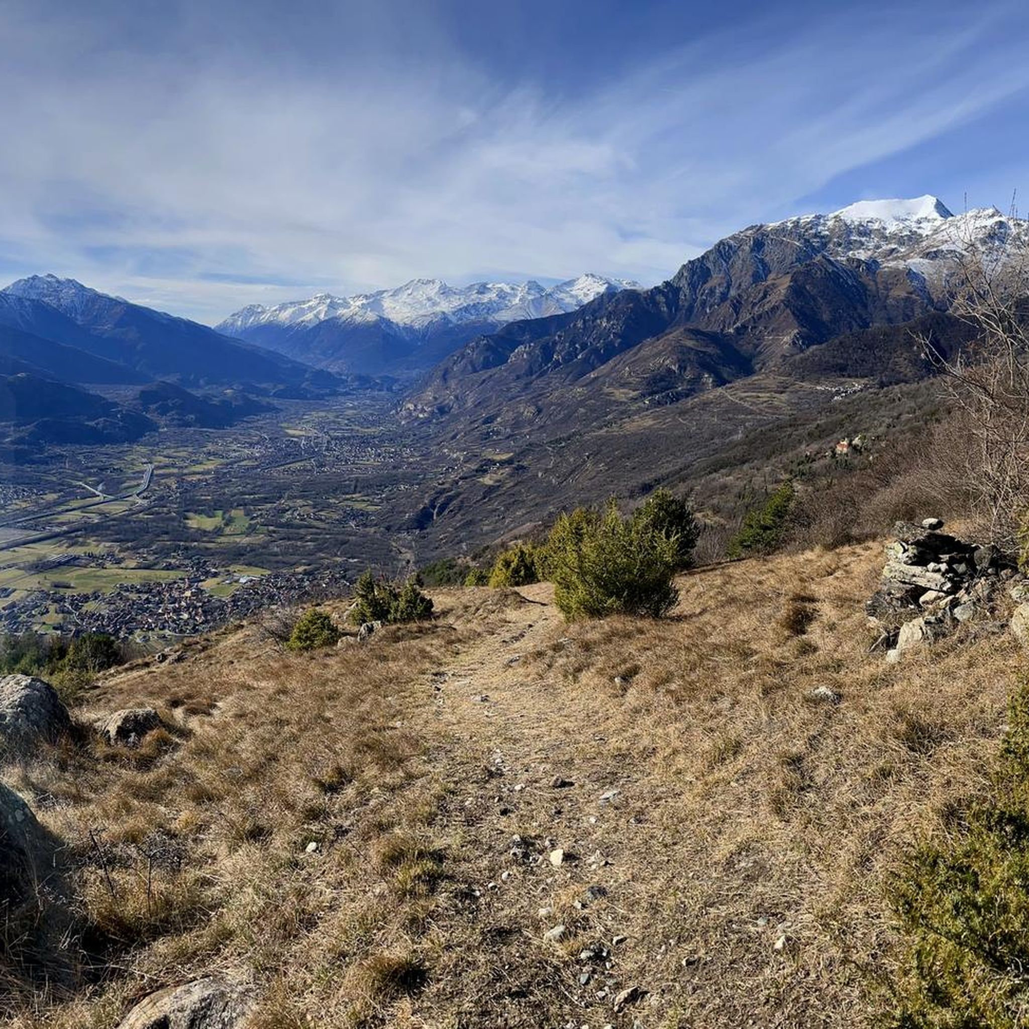
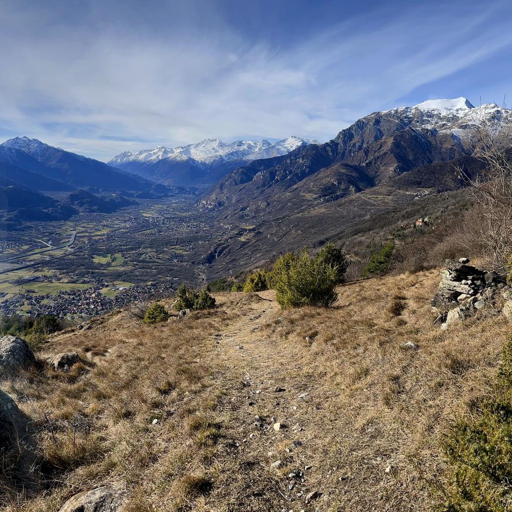
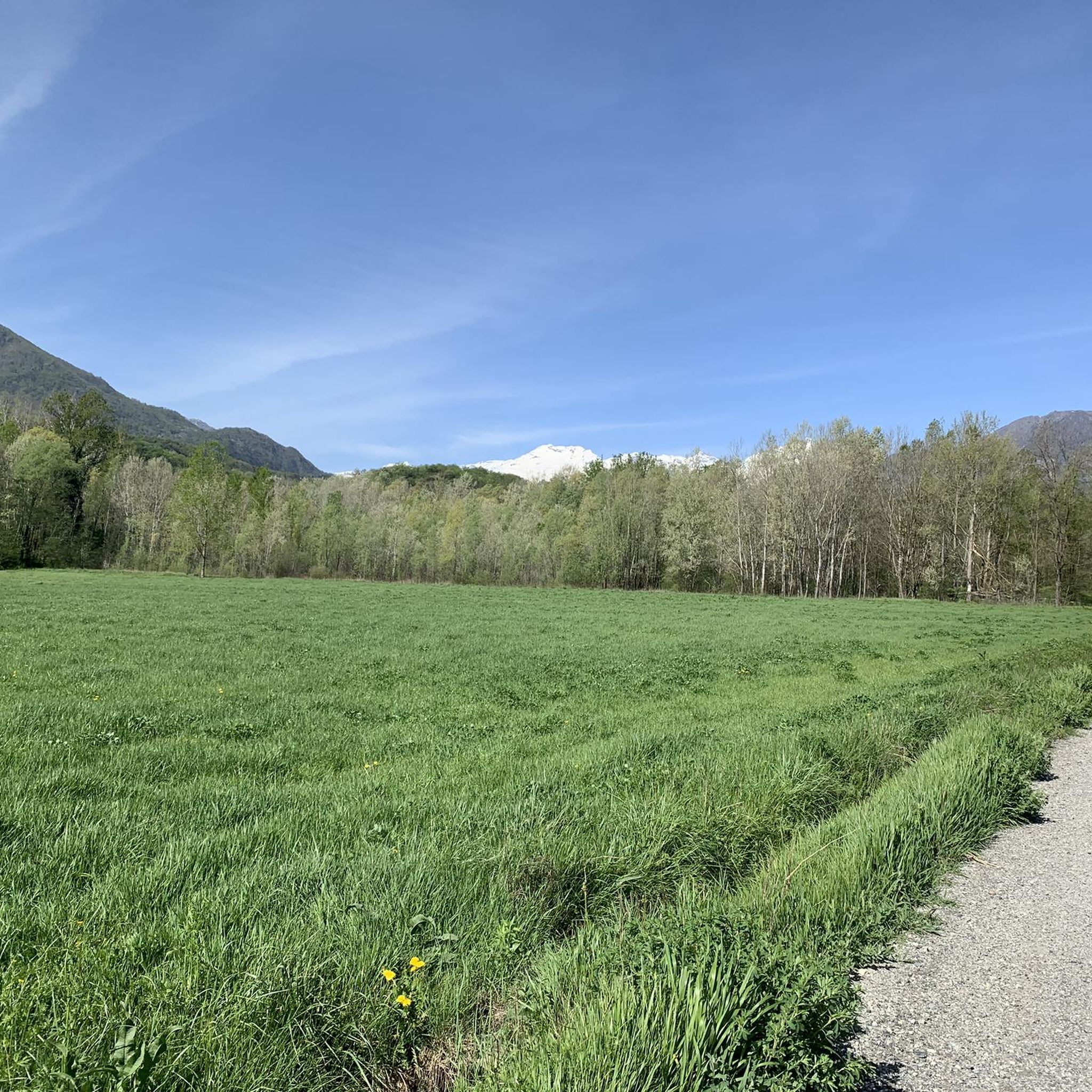
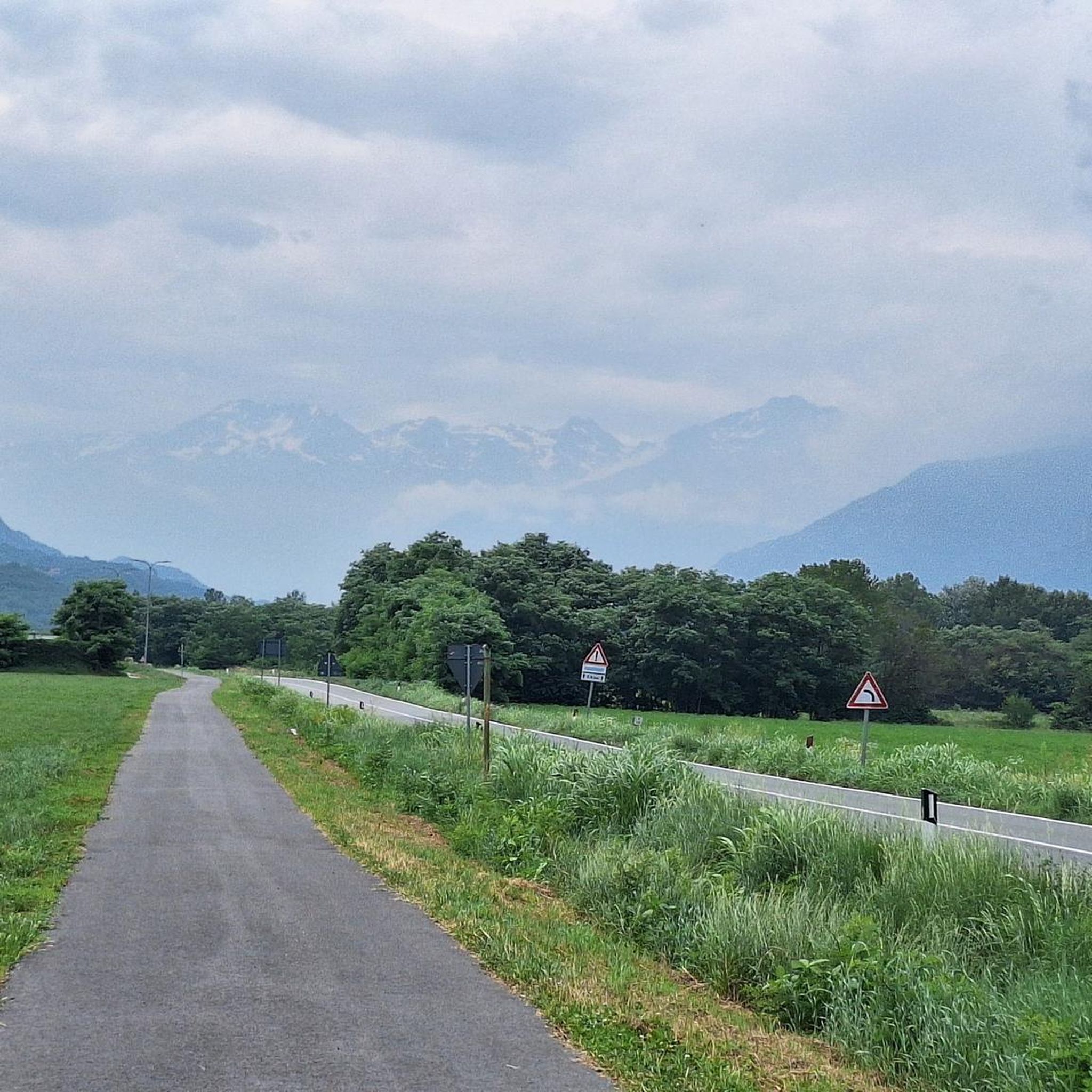
Hiking around San Didero, located in Italy's Val di Susa, offers access to a diverse landscape characterized by dense woods and an extensive network of paths. The region features varied terrain, from valley floors to higher elevations, providing numerous opportunities for outdoor exploration. The municipality actively maintains these hiking trails, ensuring accessibility and enhancing rest areas for visitors.
Best hiking trails around San Didero
- The most popular hiking route is Trail 546 from Borgone Susa to Maffiotto, a 7.5 miles (12.1 km) trail that takes 5 hours 36 minutes to complete. This difficult route connects two localities within the Val di Susa.
- Another top favourite among local hikers is Rocca Patanua Summit via Sentiero della Resistenza (Route 564), a difficult 8.1 miles (13.1 km) path. This trail leads to a summit, offering panoramic views of the surrounding area.
- Local hikers also love the Antica Cava di Rocaforte – Chapel of Prarotto loop from Borgone di Susa, a 7.8 miles (12.6 km) trail leading through historical and natural landscapes, often completed in about 5 hours 59 minutes.
- Hiking around San Didero is defined by dense woodlands, the Val di Susa, and ancient pilgrimage routes like the Via Francigena. The network offers options for different ability levels, from gentle paths to more strenuous ascents.
- The routes in San Didero are highly rated by the komoot community with an average score of 4.4 stars from more than 1700 reviews. More than 8000 hikers have used komoot to explore San Didero's varied terrain.
Last updated: August 4, 2026
2
hikers
12.1km
05:36
920m
920m
Historic CAI trail through Susa Valley hamlets, limestone cliffs, and ancient mule tracks.
13.1km
07:12
1,400m
1,400m
Historic resistance trail through stone chapels and alpine ruins to summit views over Val Susa.

Sign up for free
5.0
(4)
19
hikers
13.0km
06:06
1,030m
1,030m
Hard hike. Very good fitness required. Sure-footedness, sturdy shoes and alpine experience required.
4.7
(7)
16
hikers
Hard hike. Very good fitness required. Mostly accessible paths. Sure-footedness required.
5.0
(3)
13
hikers
8.31km
03:48
580m
580m
Moderate hike. Good fitness required. Mostly accessible paths. Sure-footedness required.
Get access to more routes and recommendations from other explorers.
Sign up for free
Already have an account?
Our route recommendations are based on thousands of hikes, rides, and runs completed by other people on komoot.
Start today with a free account
Your next adventure awaits.
Login or Signup

Tips from the Community


It's not a real restaurant or bar, but a dilapidated house that used to be a wine cellar, but hasn't been for some time. Aesthetically appealing, but calling it a place for refreshments is misleading.
0
0

Accessible from multiple directions, both on asphalt and trail. Ideal stopping point
1
0

Alpe Formica, in the Condove area in the province of Turin. Originally a place of sheep farming and subsistence agriculture, the alp was the scene of emigration to the valley floor and France, in search of work in the factories. Subsequently, industrial development in the valley floor, such as in Condove with the Officine Moncenisio, led to a real exodus from the mountain villages to the valley floor, a process that ended in the mid-1970s.
0
0


Just go down 100 meters into the Colombatti hamlet and you will find a fountain with very fresh water.
0
0

It is a very suggestive corner that you come across both going up from the locality "quattro strade" (coming from S. valeriano or Borgone) and going up from Mocchie. Near the pylon the wood is rather sparse and the ground almost flat, this and the shaded position make it ideal for a stop. The only flaw: there is no water.
0
0
Frequently Asked Questions
How many hiking trails are available around San Didero?
San Didero offers a wide variety of hiking opportunities, with over 325 routes available. These trails cater to different skill levels, from gentle walks to more challenging ascents through the diverse landscapes of the Val di Susa.
Are there easy hiking trails suitable for beginners or families in San Didero?
Yes, San Didero has 45 easy hiking trails, perfect for beginners or families. The region is known for its well-maintained paths and areas like the Lakes of Avigliana, which offer simple routes of naturalistic interest, such as around Frogs' Paradise Lake. The Amprimo Mountain Hut is also easily accessible and features large lawns, making it a popular spot for families to relax.
What kind of landscapes can I expect to see while hiking in San Didero?
Hiking in San Didero means immersing yourself in the lush, dense woods of the Val di Susa. You'll encounter varied terrain, from valley floors to higher elevations offering panoramic views. Expect to see significant natural attractions like the Lakes of Avigliana and explore parts of the Orsiera-Rocciavrè Natural Park, which hosts diverse flora and fauna.
Are there any circular hiking routes in San Didero?
Yes, San Didero features several circular hiking routes. One popular option is the Antica Cava di Rocaforte – Chapel of Prarotto loop from Borgone di Susa, which takes you through historical and natural landscapes. Another is the Pino Torinese Observatory – Rocca Penna loop from Borgone di Susa, offering a different perspective of the area.
What historical or cultural sites can I visit while hiking in the area?
The region is rich in history. A prominent site is the iconic Sacra di San Michele, a religious complex offering breathtaking panoramic views. You can also trace parts of the ancient pilgrimage route, the Via Francigena, which passes through San Didero and its surroundings, leading through ancient villages and to mountain chapels.
Are there any mountain huts or refuges along the trails in San Didero?
Yes, the area is home to several welcoming mountain refuges. The
Rifugio Toesca, located within the Orsiera-Rocciavrè Natural Park, offers traditional Piedmontese cuisine and overnight stays, operating year-round with extended hours in summer. The Amprimo Mountain Hut is another easily accessible option, popular for relaxation and picnics.
What do other hikers enjoy most about hiking in San Didero?
The hiking routes in San Didero are highly rated by the komoot community, with an average score of 4.4 stars from over 1700 reviews. Hikers often praise the diverse terrain, the well-maintained trails, and the opportunities to explore both dense woodlands and historical sites like the Sacra di San Michele.
Can I find trails that lead to scenic viewpoints or summits?
Absolutely. Many trails in San Didero offer rewarding views. For instance, the Rocca Patanua Summit via Sentiero della Resistenza (Route 564) is a challenging path that leads to a summit, providing extensive panoramic views of the surrounding Val di Susa.
Are there any trails that pass by lakes or other water features?
Yes, the Lakes of Avigliana are a significant natural attraction in the region, and their beauty is visible from various hiking paths. For those interested in more rugged water features, the Foresto Gorge is another notable highlight in the area.
What makes the Val di Susa, where San Didero is located, special for outdoor activities?
The Val di Susa is celebrated as the Western Alps' largest equipped-tracks area, offering a wide array of outdoor sports beyond traditional hiking. This includes adrenaline-fueled walls, Tibetan Bridges, and Adventure Parks, alongside opportunities for rafting on the Dora Riparia. The municipality actively maintains its extensive network of hiking trails and enhances rest areas, making it very welcoming for visitors.
Are there any long-distance or multi-day hiking options in San Didero?
While specific multi-day routes are not detailed, the presence of the ancient Via Francigena pilgrimage route passing through San Didero suggests opportunities for longer journeys. Additionally, the network of trails and mountain huts like Rifugio Toesca could facilitate multi-day excursions for experienced hikers looking to explore the Orsiera-Rocciavrè Natural Park more deeply.
What is the best time of year to go hiking in San Didero?
The Val di Susa, where San Didero is situated, is suitable for outdoor sports throughout the year. However, for hiking, the warmer months from spring to autumn generally offer the most pleasant conditions, with full access to trails and mountain huts. Summer provides extended hours for refuges like Rifugio Toesca.
Most popular routes around San Didero
Most popular attractions around San Didero

Get inspired with the komoot mobile app


Explore more
Browse the best Hikes in other regions.
