The best road cycling routes around Signau
4.6
(67)
1,835
riders
59
rides
Road cycling routes around Signau traverse the Emmental region, characterized by its picturesque hilly landscapes and a "sea of hills and valleys." This undulating terrain provides varied and engaging routes for road cyclists. Many paths feature well-paved surfaces, contributing to a smooth cycling experience through the region's natural features.
Best road cycling routes around Signau
- The most popular road cycling route is View of Hohgant from Schangnau – Schallenberg Pass loop from Eggiwil, a 35.0 miles (56.3 km) trail that takes 2 hours 36 minutes to complete. This moderate route offers views towards Hohgant and includes a section of the notable Schallenberg Pass.
- Another top favourite among local road cyclists is View of Hohgant from Schangnau – Schallenberg Pass (1167 m) loop from Emmenmatt, a difficult 49.3 miles (79.4 km) path. This route features the challenging ascent to Schallenberg Pass at 1167 m, providing extensive views of the surrounding Emmental landscape.
- Local road cyclists also love the Rengg Pass – View of the Chapel Bridge, Lucerne loop from Trubschachen, a 106.7 miles (171.8 km) trail leading through the Rengg Pass area, often completed in about 8 hours 33 minutes. This difficult route offers distant views towards Lucerne.
- Road cycling around Signau is defined by rolling, green hills, traditional farmhouses, and the Emme River. The network offers options for different ability levels, from moderate rides to challenging ascents.
- The routes in Signau are highly rated by the komoot community with an average score of 4.6 stars from over 50 reviews. More than 1700 road cyclists have used komoot to explore Signau's varied terrain.
Last updated: October 7, 2026
157
riders
56.2km
02:37
700m
700m
Moderate road ride. Good fitness required. Mostly well-paved surfaces and easy to ride.
4.2
(6)
219
riders
79.4km
03:51
1,040m
1,040m
Hard road ride. Very good fitness required. Mostly well-paved surfaces and easy to ride.

4.2
(6)
87
riders
176km
08:42
1,860m
1,860m
Hard road ride. Very good fitness required. Some segments of this route may be unpaved and difficult to ride.
5.0
(2)
77
riders
70.0km
03:19
790m
790m
Moderate road ride. Good fitness required. Some segments of this route may be unpaved and difficult to ride.
52
riders
144km
07:09
2,210m
2,210m
Hard road ride. Very good fitness required. Mostly well-paved surfaces and easy to ride.
4.0
(4)
71
riders
Hard road ride. Very good fitness required. Mostly well-paved surfaces and easy to ride.
4.7
(6)
68
riders
33.5km
01:45
480m
480m
Moderate road ride. Good fitness required. Mostly well-paved surfaces and easy to ride.
4.5
(4)
57
riders
32.7km
01:46
560m
560m
Moderate road ride. Good fitness required. Mostly well-paved surfaces and easy to ride.
3.5
(2)
44
riders
67.6km
03:54
1,080m
1,080m
Hard road ride. Very good fitness required. Some segments of this route may be unpaved and difficult to ride.
4.0
(1)
42
riders
85.2km
03:52
860m
860m
Moderate road ride. Good fitness required. Some segments of this route may be unpaved and difficult to ride.
Get access to more routes and recommendations from other explorers.
Already have an account?
Our route recommendations are based on thousands of hikes, rides, and runs completed by other people on komoot.
Start today with a free account
Your next adventure awaits.
Popular around Signau
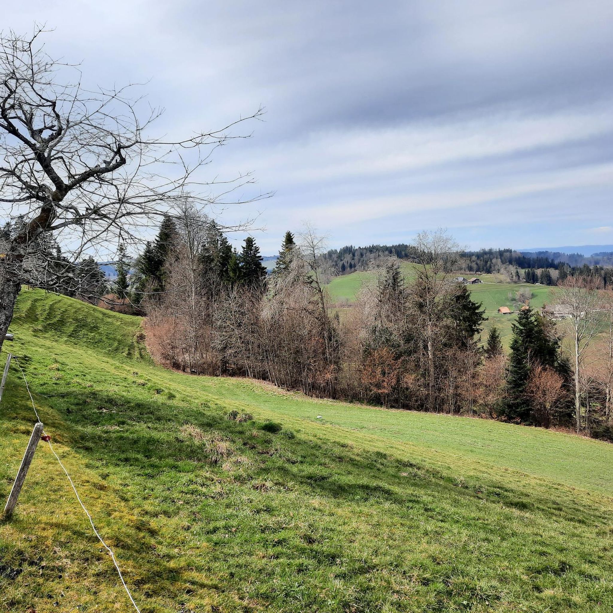
Road Cycling Routes around Lauperswil
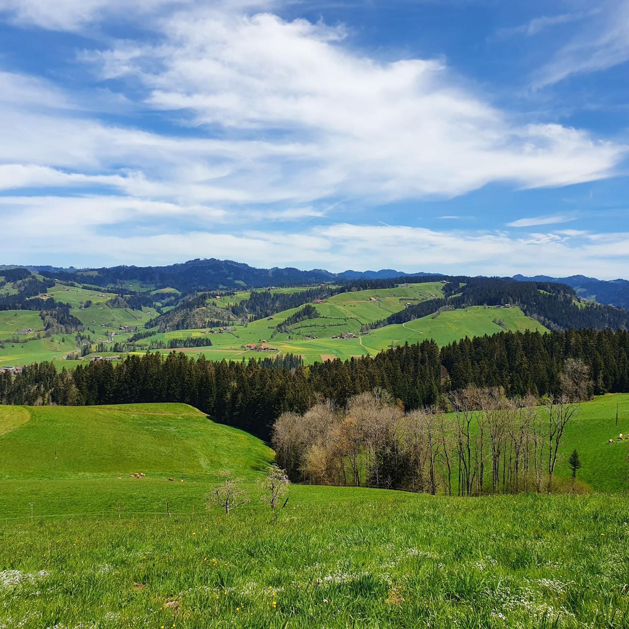
Road Cycling Routes around Langnau im Emmental
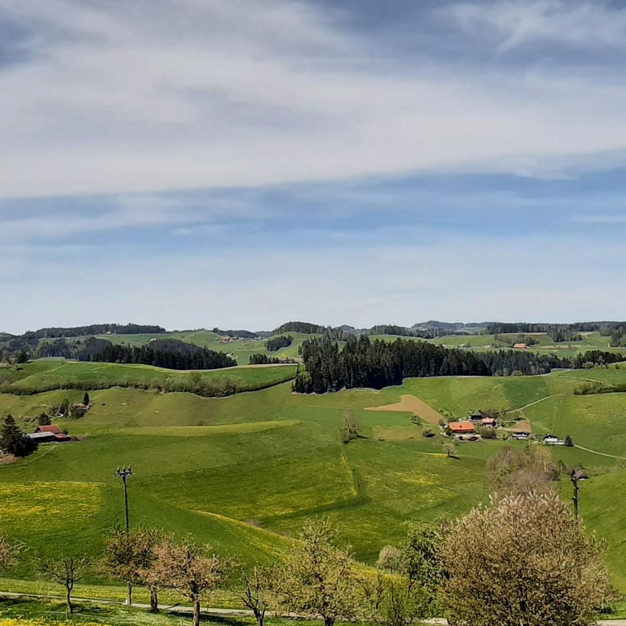
Road Cycling Routes around Rüderswil
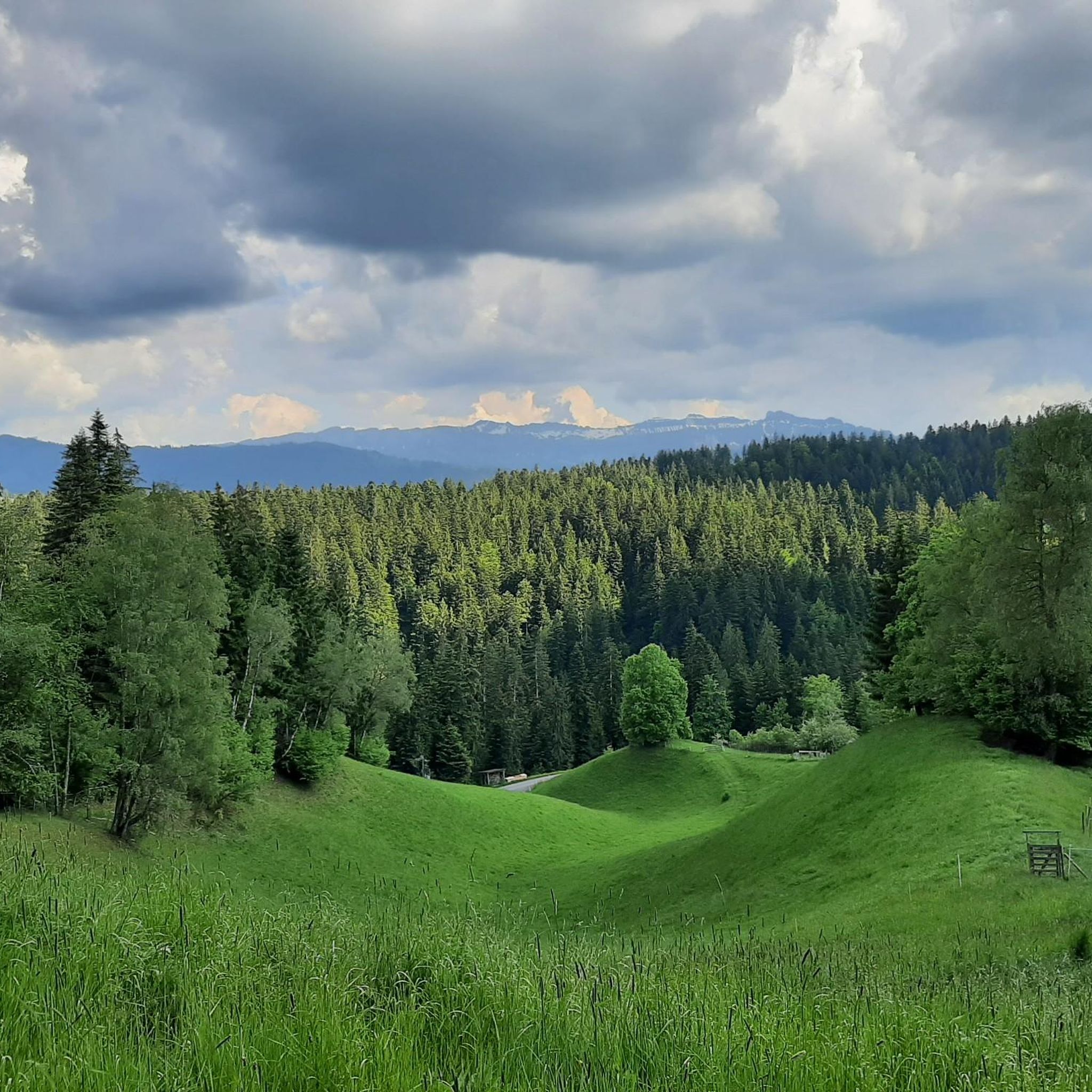
Road Cycling Routes around Röthenbach im Emmental
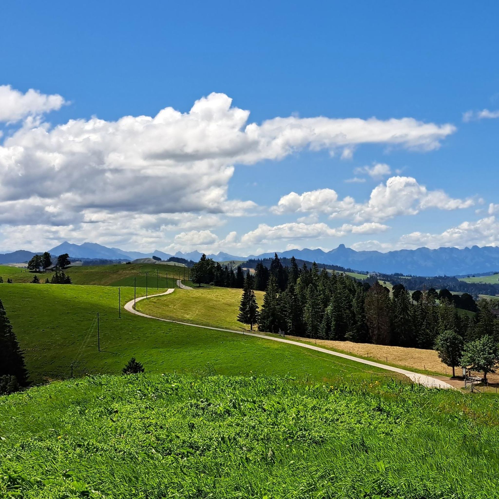
Road Cycling Routes around Trub
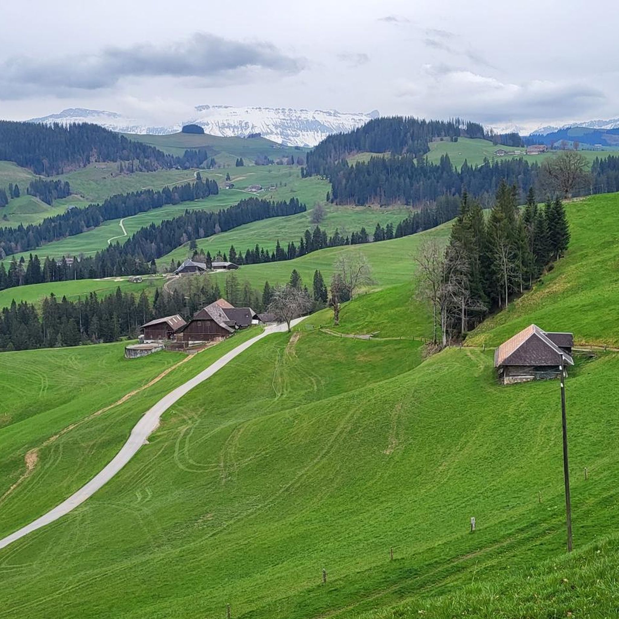
Road Cycling Routes around Eggiwil
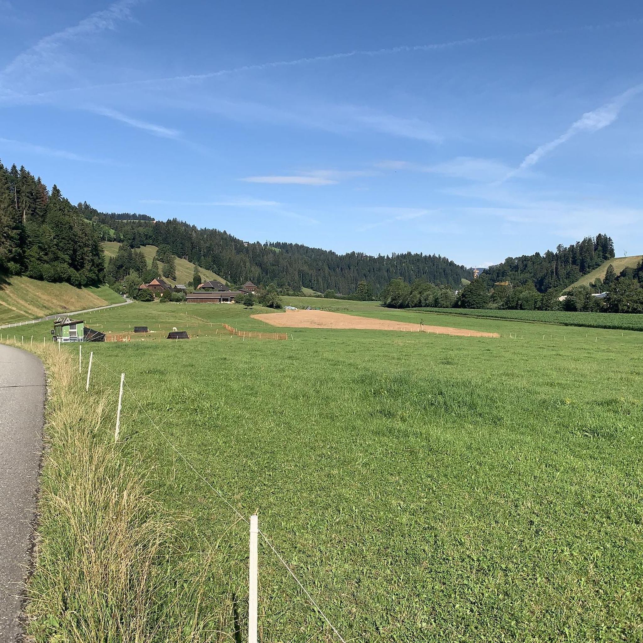
Road Cycling Routes around Trubschachen
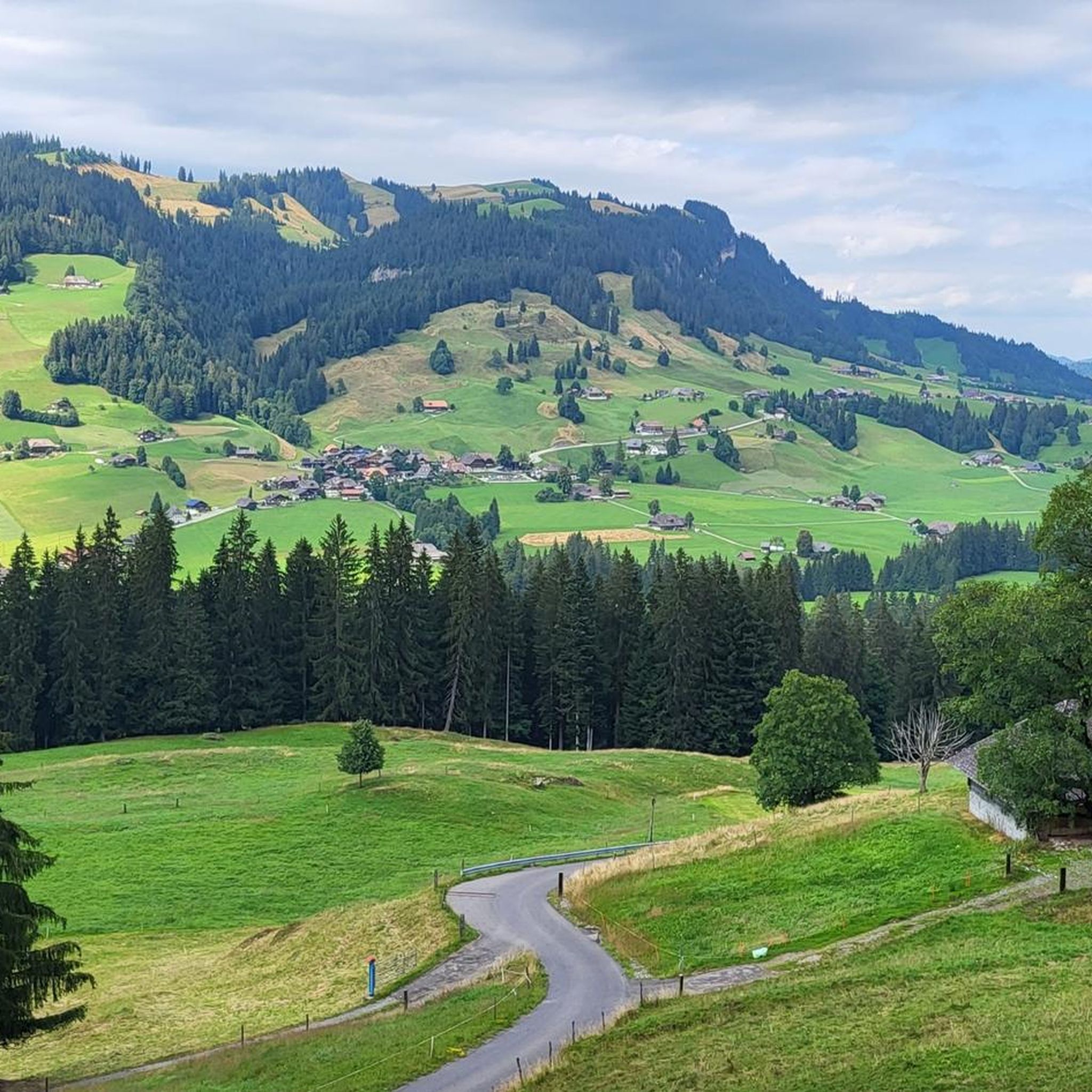
Road Cycling Routes around Schangnau
Napfbergland Border Trail – Hike between Bern and Lucerne

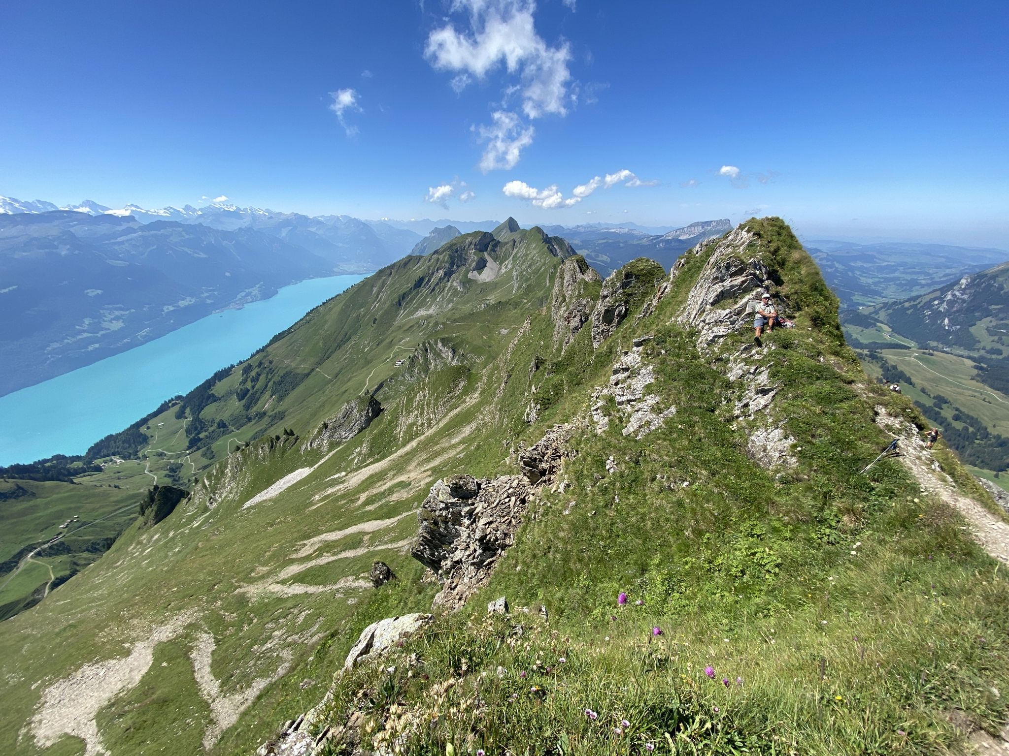
Alpine Panorama Trail in Switzerland – Keep your eyes on the mountains
Other adventures around Signau


Tips from the Community


Always worth a break for decades
0
0

Take this nice road, then you don't have to drive on the narrow and dangerous main road.
0
0

From Huttwil, it's initially gentle towards Eriswil. From there, the road climbs and the gradient becomes more challenging. You ride on the main road, but there is little traffic on this route.
0
0

The family-run Hotel Hirschen in Langnau im Emmental has 18 comfortable rooms that can be booked with full board, half board, or bed and breakfast. The traditional, listed Bernese house invites you to visit with its beautiful facade, carved beams, and decorated details. Whether inside in the restaurant or outside on the cozy terrace, you can relax here in a pleasant atmosphere and be pampered with culinary delights.
0
0

Nice side road with a view of Biglen and Lütiwil
0
0
Frequently Asked Questions
How many road cycling routes are available in Signau?
There are over 60 road cycling routes around Signau, offering a wide range of options for different skill levels and preferences. The komoot community has highly rated these routes, with an average score of 4.6 stars.
What kind of terrain can I expect on road cycling routes in Signau?
Signau, nestled in the Emmental region, is known for its 'Hügu Himu' or 'Hills Heaven.' You can expect undulating terrain with rolling hills, lush pastures, and dense forests. Many routes feature well-paved surfaces, providing a smooth cycling experience, though challenging ascents are also common.
Are there road cycling routes suitable for different fitness levels?
Yes, Signau offers routes for various fitness levels. While the majority are moderate (40 routes) or difficult (17 routes), there are also 3 easier routes available. This ensures that both casual riders and experienced cyclists can find suitable challenges.
What are some challenging road cycling routes in Signau?
For those seeking a challenge, routes like View of Hohgant from Schangnau – Schallenberg Pass (1167 m) loop from Emmenmatt, a difficult 49.3-mile (79.4 km) path, feature significant ascents. Another demanding option is the Rengg Pass – View of the Chapel Bridge, Lucerne loop from Trubschachen, which spans 106.7 miles (171.8 km) with substantial elevation gain.
Are there any easier or moderate road cycling routes in Signau?
Yes, there are plenty of moderate options. For example, the View of Hohgant from Schangnau – Schallenberg Pass loop from Eggiwil is a moderate 35.0-mile (56.3 km) route. Another moderate choice is the Fritzenfluh Ascent – Fritzenfluh Tunnel loop from Zollbrück, covering 69.7 km with manageable elevation.
What scenic viewpoints can I discover along the road cycling routes?
The Emmental region around Signau is rich in panoramic vistas. Notable viewpoints include the Chuderhüsi Tower, offering expansive views of the Emmental and distant Alps. The Napf Summit & Panoramic Viewpoint also provides sweeping views of the Bernese Alps and Jura mountains. Other significant spots mentioned in the region include Blasenfluh, Moosegg, and Ober Rainsberg.
Are there any historical or cultural sights to see while road cycling in Signau?
Many road cycling routes in Signau pass by historical landmarks, including ancient castle ruins and traditional Emmental farmhouses. The region is known for preserving its heritage, and you might encounter historical village cores or the former pilgrimage church of Würzbrunnen chapel along your ride.
What is the best time of year for road cycling in Signau?
The ideal time for road cycling in Signau is from spring to autumn, when the weather is mild. This period offers the most pleasant conditions to enjoy the region's scenic beauty and challenging terrain.
Are there any circular road cycling routes in Signau?
Yes, many of the routes around Signau are designed as loops, allowing you to start and end at the same point. Examples include the Moosegg Viewpoint – Waldhäusern Inn loop from Langnau im Emmental and the View of Blapach – Blapbach loop from Emmenmatt, both offering a complete circular experience.
What do other road cyclists enjoy most about road cycling in Signau?
The road cycling routes in Signau are highly rated by the komoot community, with an average score of 4.6 stars from over 50 reviews. Cyclists often praise the picturesque hilly landscapes, the well-paved surfaces, and the diverse range of routes that cater to different abilities, all set against a backdrop of traditional farmhouses and the Emme River.
Is public transport available to access road cycling routes in Signau?
Signau is part of the well-connected Emmental region in Switzerland. While specific public transport details for each route vary, the area is generally accessible by train and bus services, making it possible to reach starting points for many cycling tours. It's advisable to check local transport schedules for the most convenient connections to your chosen route.
Most popular routes around Signau
Most popular attractions around Signau

Get inspired with the komoot mobile app


Didn’t find what you were looking for?
Check out more Road cycling routes throughout Signau below and find the perfect route in your destination.
Explore more
Browse the best Road cycling routes in other regions.
