The best walks and hikes around Siglistorf
4.6
(2524)
15,296
hikers
752
hikes
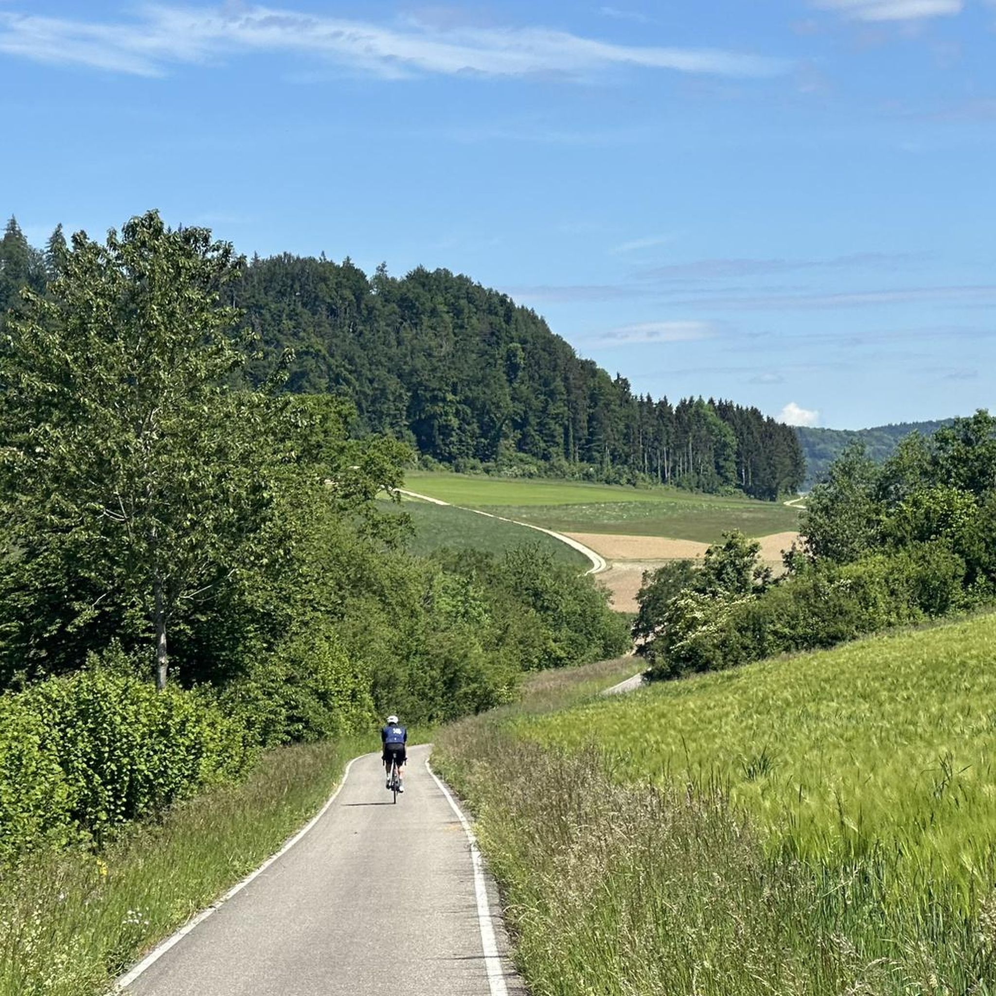
Hiking around Siglistorf offers diverse landscapes, characterized by the picturesque Aargau High Rhine and a varied hilly terrain. The region features paths that wind through forests and valleys, providing opportunities to discover rich botanical life. These physical features contribute to a range of hiking experiences, from riverside strolls to more challenging ascents.
Best hiking trails around Siglistorf
- The most popular hiking route is Etelweiher – Alpenrosen Enclosure loop from Schneisingen, a 6.7 miles (10.8 km) trail that takes 3…
Last updated: October 2, 2026
4.0
(3)
36
hikers
10.7km
02:59
190m
190m
Moderate hike. Good fitness required. Easily-accessible paths. Suitable for all skill levels.
4.5
(2)
6
hikers
5.10km
01:29
130m
140m
Easy hike. Great for any fitness level. Easily-accessible paths. Suitable for all skill levels.

11
hikers
6.47km
01:46
90m
90m
Easy hike. Great for any fitness level. Easily-accessible paths. Suitable for all skill levels.
4.0
(2)
7
hikers
19.2km
05:25
390m
390m
Hard hike. Very good fitness required. Easily-accessible paths. Suitable for all skill levels.
4.5
(2)
10
hikers
Easy hike. Great for any fitness level. Easily-accessible paths. Suitable for all skill levels.
Get access to more routes and recommendations from other explorers.
Already have an account?
Our route recommendations are based on thousands of hikes, rides, and runs completed by other people on komoot.
Start today with a free account
Your next adventure awaits.
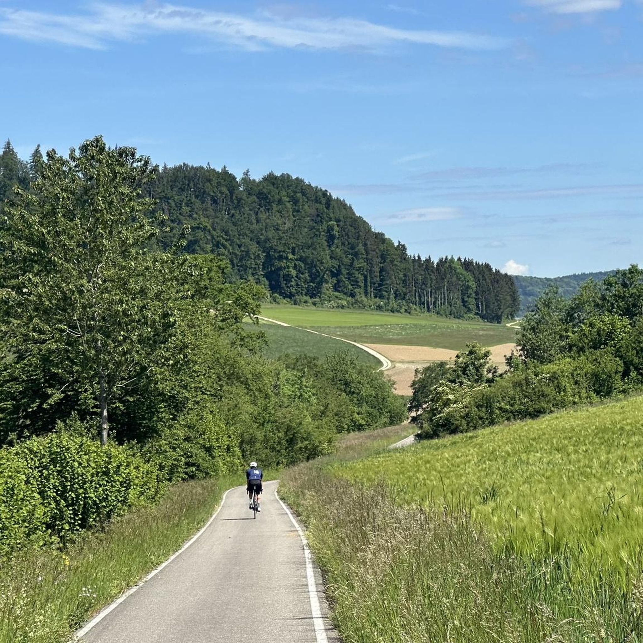
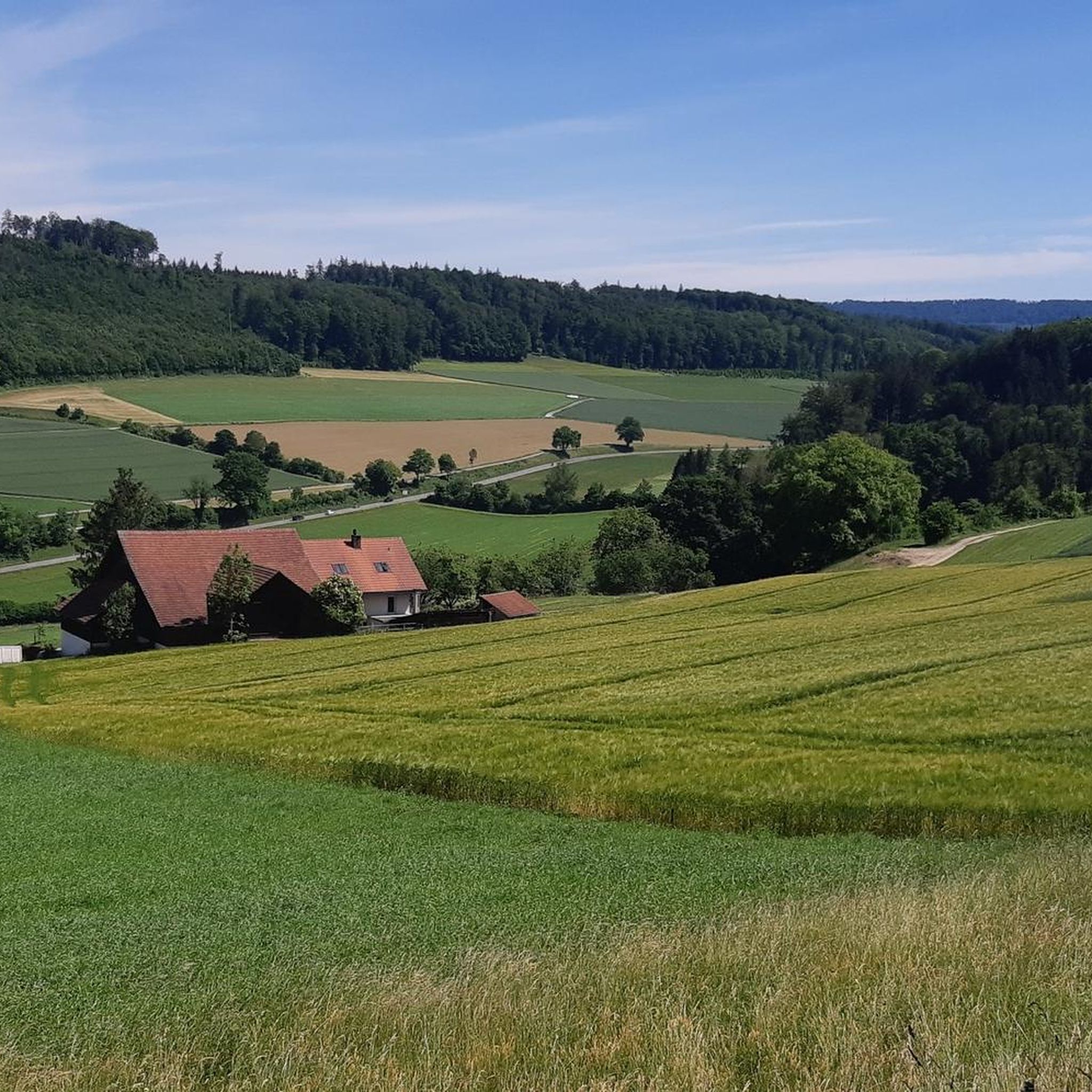
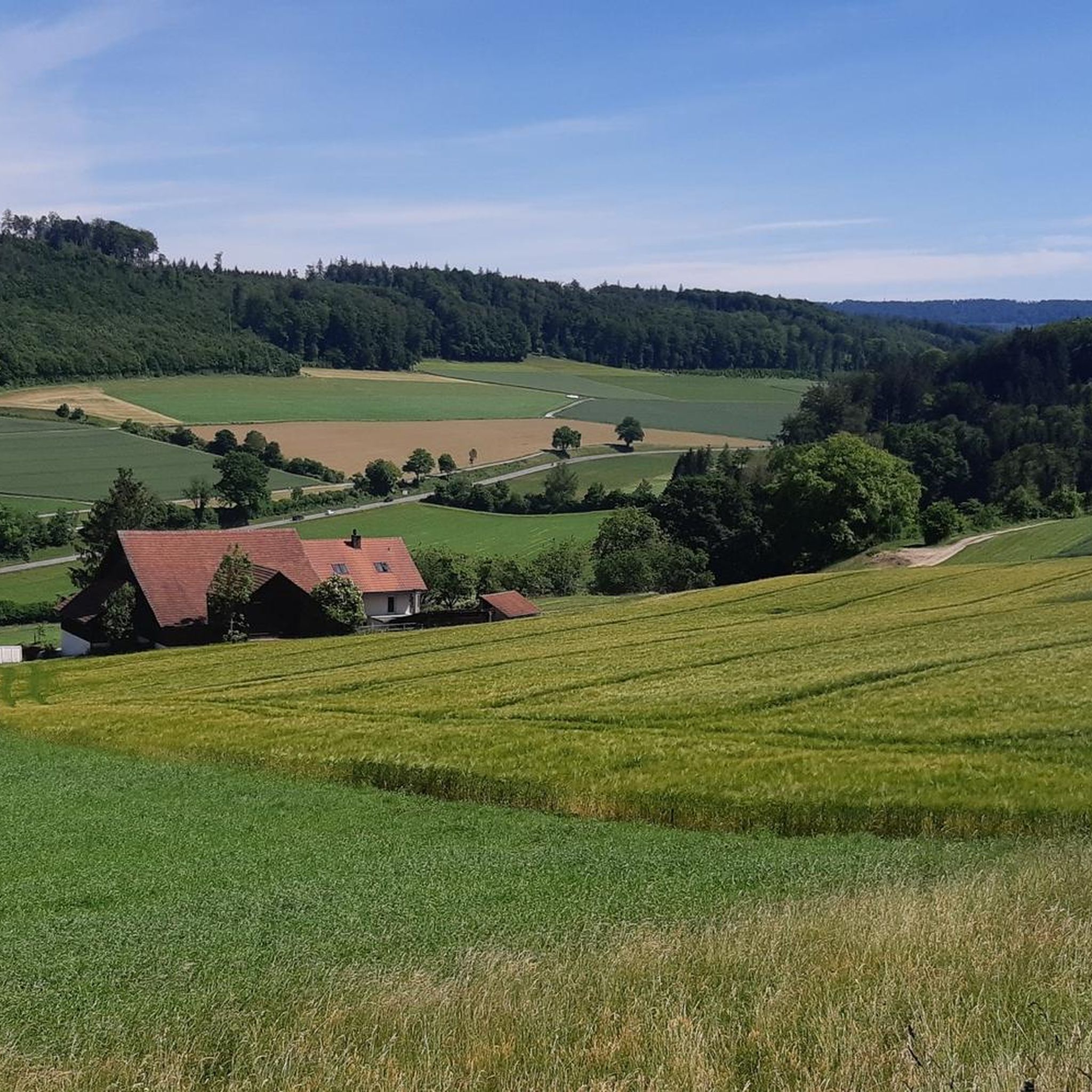
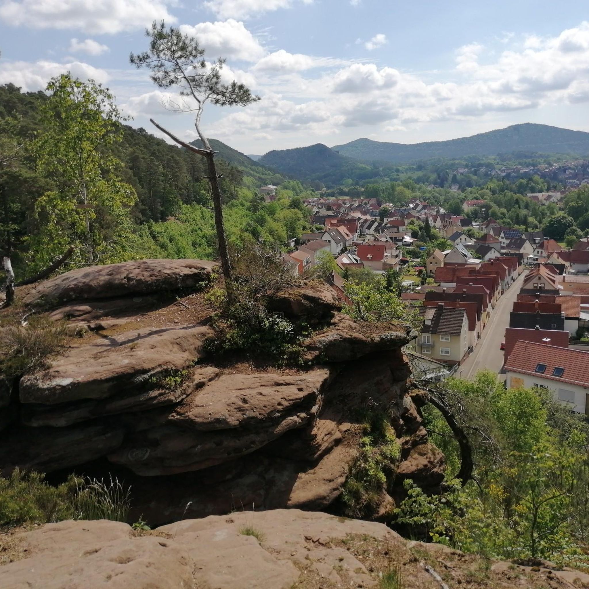
Tips from the Community

The first thing you notice when coming from Kaiserstuhl and crossing the bridge into Germany.
1
0

A large area shaded by trees, with tables, benches, a large grill, and plenty of wood for fires.
1
0
A flowing single trail. When heading towards Etelweiher, there's no ban on bikes. At the end, there are a few steps to push your bike up.
1
0
Above Oberschneisingen is this large barbecue area with seating, plenty of space, parking and dry wood for fires.
1
0
This spring is located in the immediate vicinity of Etelweiher. Please note: Bicycles are prohibited from coming down the forest road. However, you can also push your bike.
1
0
Apparently, the Schneisingen forest hut was built in 1959. Unfortunately, it was already dark to stop for a rest. It seems like an inviting place.
1
0
Very quietly situated in the forest. An idyllic setting, stop and enjoy...
1
0

We don't see any more animals...🫤
0
0
Frequently Asked Questions
How many hiking trails are available around Siglistorf?
Siglistorf offers a wide variety of hiking experiences with over 760 routes recorded on komoot. These trails cater to all levels, including over 390 easy routes, 320 moderate trails, and nearly 50 challenging options for experienced hikers.
What kind of terrain can I expect on hikes in the Siglistorf region?
The terrain around Siglistorf is quite diverse, featuring picturesque riverside paths along the Aargau High Rhine, varied hilly landscapes, and tranquil forested areas. You'll find paths winding through charming villages, vineyards, and sections with rich botanical treasures, offering both gentle strolls and more challenging ascents.
Are there any family-friendly hiking trails in Siglistorf?
Yes, Siglistorf has several easy routes suitable for families. An excellent option is the Etelweiher – Etelweiher spring singletrack loop from Wislikofen, an easy 3.2-mile (5.1 km) path featuring natural spring areas and accessible terrain. Another great choice is the Animal Sculpture Trail – Etelweiher loop from Lengnau AG, which is 4 miles (6.5 km) long and offers an engaging experience for children.
What are some notable landmarks or attractions I can see while hiking near Siglistorf?
The region around Siglistorf is rich in both natural beauty and historical sites. You can explore the historic town of Kaiserstuhl, which features the well-preserved Stadtturm (city tower). Highlights in the broader area include the Baden Old Town and Wooden Bridge, the Eglisau-Glattfelden Hydroelectric Power Plant, and the scenic Lägerngrat Ridge Trail with its View from Lägern Hochwacht.
Are there any circular hiking routes available in Siglistorf?
Absolutely, circular routes are a popular way to explore the area. A notable option is the Kaiserstuhl Castle and Bridge – Kaiserstuhl loop from Siglistorf, a challenging 12-mile (19.3 km) trail that takes you through the historic town of Kaiserstuhl and along the High Rhine.
What do other hikers enjoy most about hiking in Siglistorf?
The area is highly rated by the komoot community, with an average score of 4.7 stars from over 2,000 reviews. Hikers often praise the diverse landscapes, from the serene riverside paths along the Aargau High Rhine to the varied hilly terrain and tranquil forests. The well-maintained trails and the opportunity to combine nature with cultural sights are frequently highlighted.
Is public transport available to access hiking trails in Siglistorf?
Yes, Siglistorf is located in the Canton of Aargau, Switzerland, which generally has good public transport connections. Many trailheads in the region are accessible by bus or train, allowing hikers to reach starting points without a car. It's advisable to check local transport schedules for specific routes.
Are there any easy, shorter hikes for beginners in the area?
For beginners or those looking for a shorter, less strenuous walk, the Alpenrosen Enclosure – Barbecue area with parking loop from Lengnau AG is an excellent choice. This easy route is just over 3 miles (5.1 km) long and features minimal elevation gain, making it perfect for a relaxed outing.
What is the best time of year to go hiking in Siglistorf?
The Siglistorf region is beautiful throughout much of the year. Spring and autumn offer pleasant temperatures and vibrant scenery, with spring showcasing botanical treasures and autumn displaying colorful foliage. Summer is also popular, especially for riverside walks along the High Rhine. While some trails may be accessible in winter, conditions can vary, so checking local weather is always recommended.
Are there any specific natural features or unique flora to look out for?
Yes, the region is known for its rich flora. A varied circular hike from Kaiserstuhl along the High Rhine is specifically mentioned to lead to 'botanical treasures,' indicating a diverse and interesting plant life for nature lovers to discover. The presence of the Aargau High Rhine also means you'll encounter unique riverside ecosystems.
Can I find places to eat or stay near the hiking trails in Siglistorf?
Siglistorf and the surrounding Zurzibiet region offer various amenities. You'll find charming villages with local restaurants and cafes where you can refuel after your hike. For accommodation, there are options ranging from guesthouses to hotels in the nearby towns, providing convenient bases for exploring the hiking trails.
Most popular routes around Siglistorf
Most popular attractions around Siglistorf

Get inspired with the komoot mobile app


Explore more
Browse the best Hikes in other regions.
