The best mountain hikes around Sant'Ambrogio Di Torino
4.3
(21)
233
hikers
9
hikes
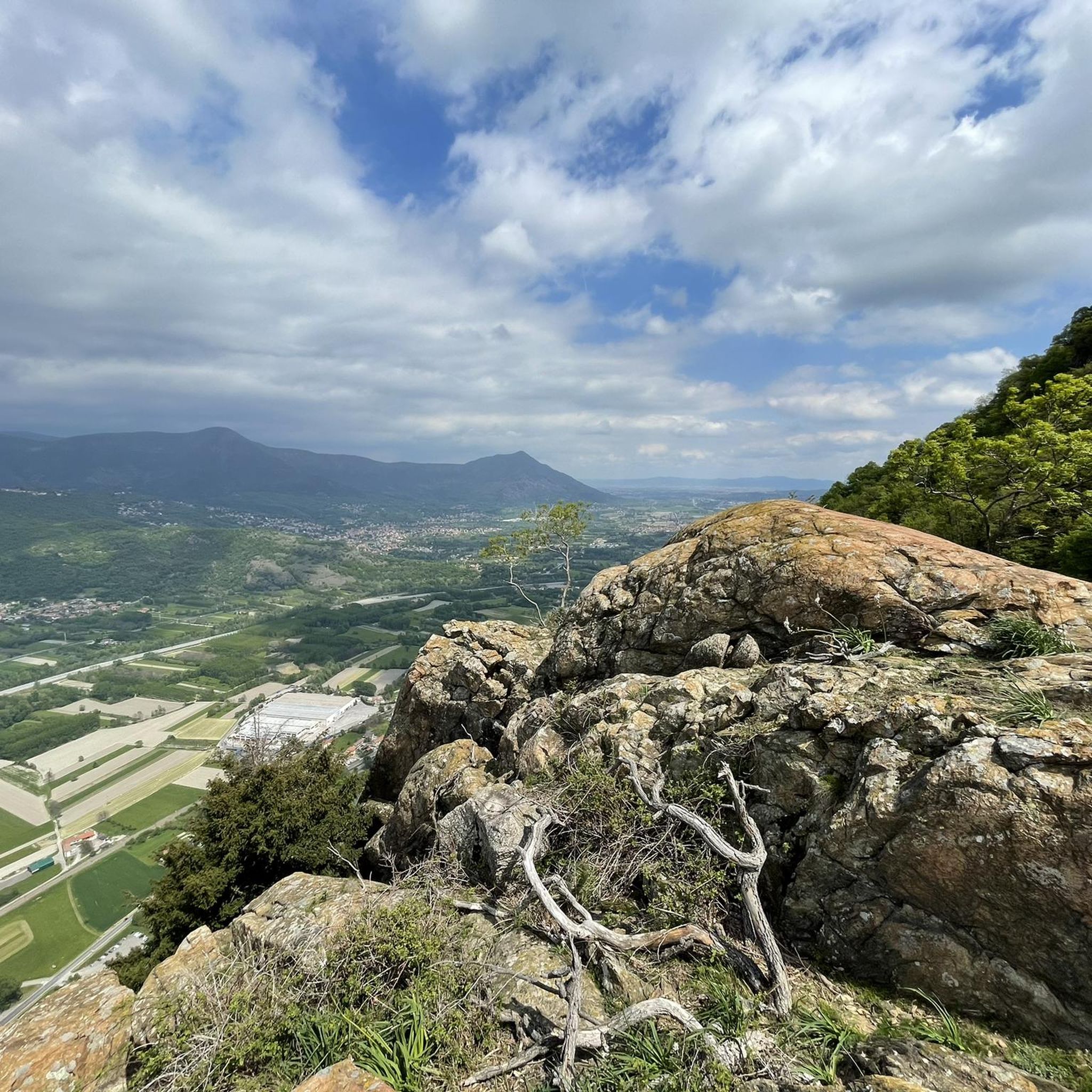
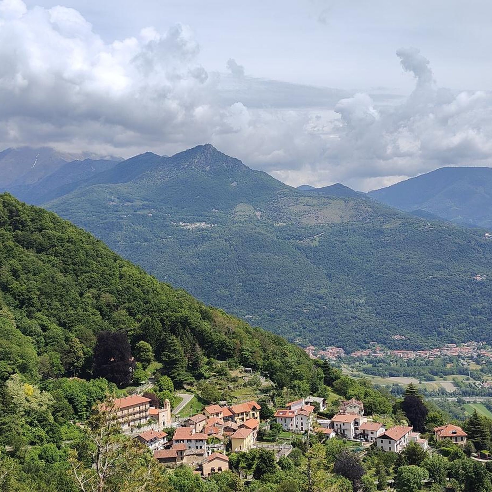
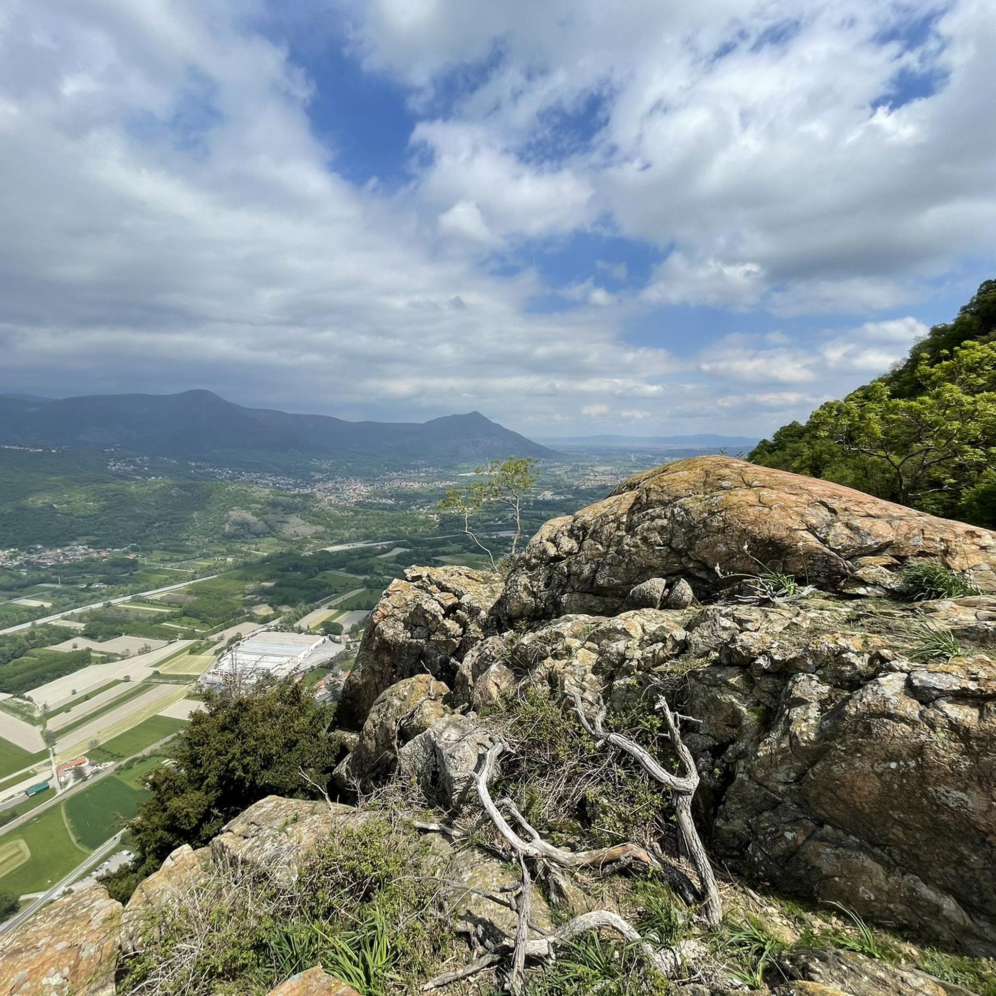
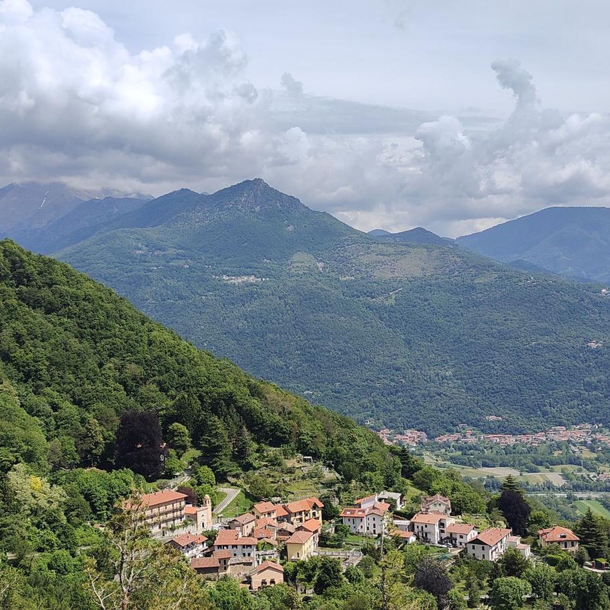
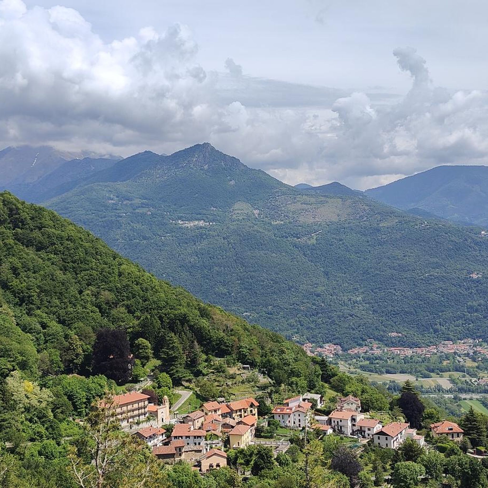
Mountaineering routes around Sant'Ambrogio Di Torino offer diverse terrain in the Piedmont region of Italy, characterized by the Susa Valley and surrounding peaks. The landscape features a mix of forested slopes, rocky outcrops, and prominent hills like Monte Musinè. These routes often provide views of the valley and the Dora Riparia river, with elevations varying across the trails.
Best mountaineering routes around Sant'Ambrogio Di Torino
- The most popular mountaineering route is Cesana Tibetan Bridge loop from Sant'Ambrogio di Torino,…
Last updated: October 8, 2026
4.8
(11)
114
hikers
6.31km
04:29
530m
530m
Hard mountaineering route. Good fitness required. Sure-footedness, sturdy shoes and alpine experience required.
22
hikers
7.18km
03:59
710m
710m
Moderate mountaineering route. Good fitness required. Mostly accessible paths. Sure-footedness required.

12
hikers
3.89km
02:25
460m
460m
Hard mountaineering route. Good fitness required. Sure-footedness, sturdy shoes and alpine experience required.
5.0
(1)
8
hikers
Hard mountaineering route. Good fitness required. Sure-footedness, sturdy shoes and alpine experience required.
5.0
(1)
3
hikers
3.14km
02:01
370m
370m
Hard mountaineering route. Good fitness required. Sure-footedness, sturdy shoes and alpine experience required.
Get access to more routes and recommendations from other explorers.
Already have an account?
Our route recommendations are based on thousands of hikes, rides, and runs completed by other people on komoot.
Start today with a free account
Your next adventure awaits.

Tips from the Community

Sant'Ambrogio is an ancient village located at the entrance of the Val di Susa, along the Dora Riparia river, at the foot of the Sacra di San Michele. There is a legend about the foundation of the Sacra di San Michele, an abbey with a very characteristic shape, founded around 1000 by San Giovanni Vincenzo, former archbishop of Ravenna, perhaps replacing a Lombard temple dedicated to the Archangel Michael. You can read it near the Church, the starting point of the mule track that leads to it.
0
0

A grand 13th-century abbey, with walls as strong as the faith of its founders, evocative for its location and history, it's definitely worth a visit. A little trivia: Umberto Eco drew inspiration from this place for the setting of his masterpiece.
4
0

Departure for the firebreak trail right in front of the Kiosk
0
0

Very steep, steady climb. No equipment required; can be done in all seasons.
0
0

Climbing up to the Sacra di San Michele along the Stations of the Cross. Given the steepness, it's truly a Stations of the Cross.
0
0
Steep climb to the hamlet of San Pietro, which can become a real Stations of the Cross if you get too excited! Beautiful views of San Michele and wonderful woods.
0
0

The path up to San Michele gets steep very quickly!
0
0
Worth popping in to enjoy the coolness after a long hike on a summer's day
1
0
Frequently Asked Questions
How many mountaineering routes are available around Sant'Ambrogio Di Torino?
There are over 10 mountaineering routes documented around Sant'Ambrogio Di Torino on komoot, offering a variety of experiences for different skill levels. The region is known for its diverse terrain in the Piedmont area.
Are there any easy mountaineering routes for beginners near Sant'Ambrogio Di Torino?
While many routes in the area are rated as difficult, there are options that can be suitable for those with some experience. For example, the Monte Musinè – Antico acquedotto loop from Caselette is a moderate 4.5-mile (7.3 km) path that offers panoramic views and passes historical aqueduct structures.
What kind of terrain can I expect on mountaineering routes in this region?
Mountaineering around Sant'Ambrogio Di Torino is characterized by a mix of forested slopes, rocky outcrops, and prominent hills like Monte Musinè. Routes often provide views of the Susa Valley and the Dora Riparia river, with elevations varying across the trails.
Are there any circular mountaineering trails in the area?
Yes, many routes are designed as loops, allowing you to start and end in the same location. A popular option is the Cesana Tibetan Bridge loop from Sant'Ambrogio di Torino, a 3.8-mile (6.2 km) trail with significant elevation gain and valley views.
What are some interesting landmarks or points of interest I can see along the mountaineering routes?
The region offers several notable landmarks. You might encounter the Summit cross of Monte Musinè, offering expansive views, or the historic Chapel of the Madonna of Rocca Sella. Some routes also pass by ancient aqueduct structures.
What do other mountaineers enjoy most about the routes around Sant'Ambrogio Di Torino?
The routes in Sant'Ambrogio Di Torino are highly rated by the komoot community, with an average score of 4.3 stars. Mountaineers often praise the diverse terrain, from forested paths to rocky ascents, and the rewarding panoramic views of the Susa Valley.
Are there any mountaineering routes that lead to mountain huts or refuges?
Yes, some routes can lead towards or pass by mountain huts. For instance, the Rifugio Rocca Sella loop from Caprie is a challenging route that can bring you close to the Rifugio Rocca Sella, offering a potential stop or destination.
What is the typical duration for mountaineering routes in this area?
The duration varies significantly depending on the route's length and difficulty. For example, the Mountaineering loop from Caprie, a 2.4-mile (3.8 km) trail, typically takes around 2 hours 22 minutes, while longer or more challenging routes can take 4 hours or more.
Are there any routes that offer views of prominent peaks?
Absolutely. Many routes provide excellent views of surrounding peaks. The ascent to Mount Cuneo (Moncuni) or Monte Musinè will offer commanding vistas of the Susa Valley and the broader Alpine landscape.
Is there a route that features the Rocca Bianca?
Yes, you can explore the Rocca Bianca loop from Caprie. This challenging 3.1-mile (5.0 km) route offers an opportunity to experience the terrain around Rocca Bianca.
Most popular routes around Sant'Ambrogio Di Torino
Most popular attractions around Sant'Ambrogio Di Torino

Get inspired with the komoot mobile app


Explore more
Browse the best Mountain Hikes & Routes in other regions.
