The best walks and hikes around Sestriere
4.6
(827)
4,916
hikers
71
hikes
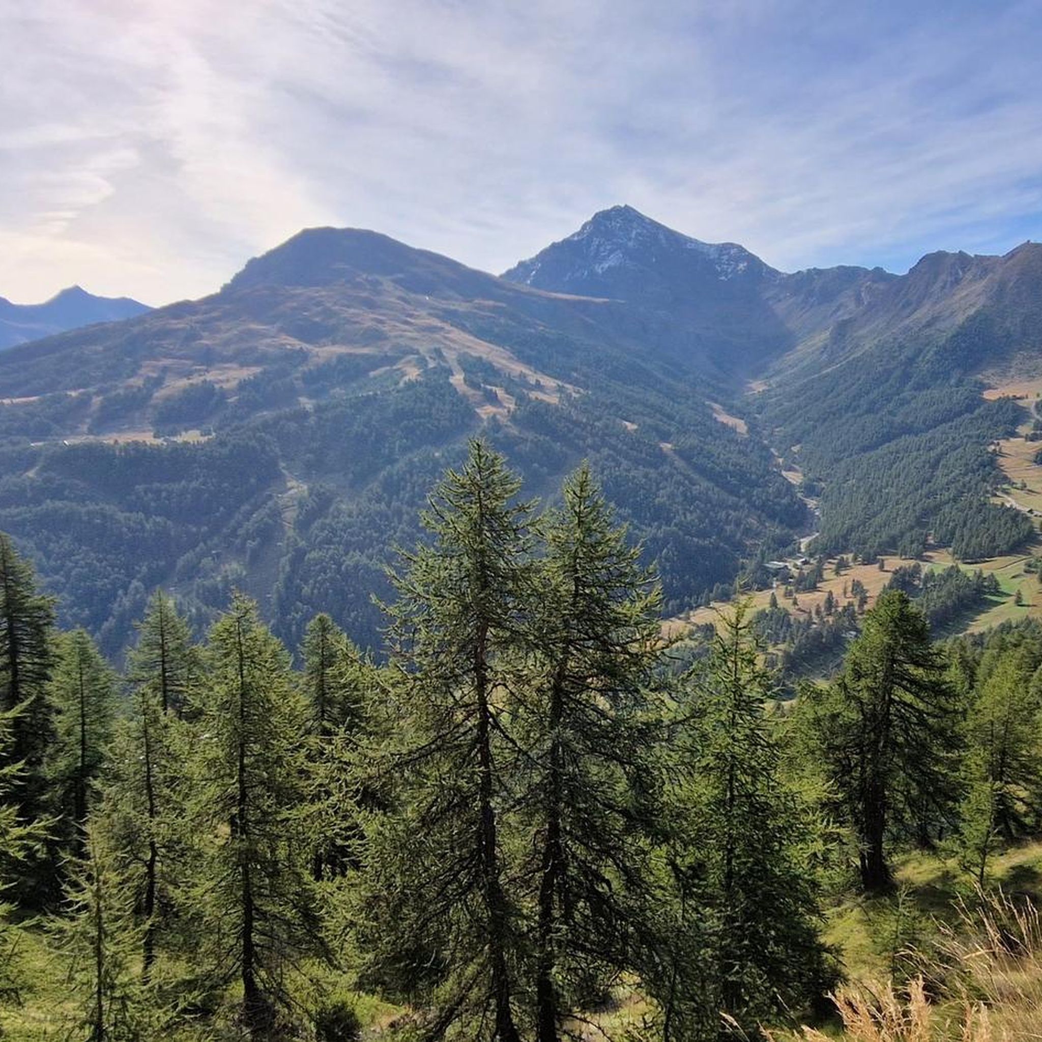
Hiking around Sestriere offers access to the Cottian Alps, characterized by high alpine peaks, verdant valleys, and dense forests. The region features diverse natural landscapes including the Val Troncea Nature Park and Gran Bosco di Salbertrand Nature Park. Hikers can explore areas around Mount Fraiteve and Col Basset, which provide panoramic views of the surrounding alpine vistas. Crystal-clear alpine lakes like Lago Nero and Lake Losetta are also part of the natural beauty.
Best hiking trails around Sestriere
- The most…
Last updated: November 6, 2026
4.6
(75)
349
hikers
13.1km
04:10
370m
370m
4.6
(60)
248
hikers
8.28km
02:33
290m
290m
Moderate hike. Good fitness required. Mostly walkable paths. Sure-footedness required.

4.7
(29)
118
hikers
10.2km
04:16
660m
660m
Embark on a moderate 6.4-mile (10.2 km) hike from Sestriere, gaining 2166 feet (660 metres) over approximately 4 hours and 15 minutes. This route guides you through the Vallone del…
4.7
(14)
48
hikers
17.3km
06:30
1,020m
1,020m
Embark on the Cima del Bosco Loop Trail, a difficult hike that takes you through dense larch forests, particularly stunning in autumn. As you ascend, the path opens up to…
4
hikers
7.02km
02:12
250m
240m
Get access to more routes and recommendations from other explorers.
Already have an account?
Our route recommendations are based on thousands of hikes, rides, and runs completed by other people on komoot.
Start today with a free account
Your next adventure awaits.
Popular around Sestriere
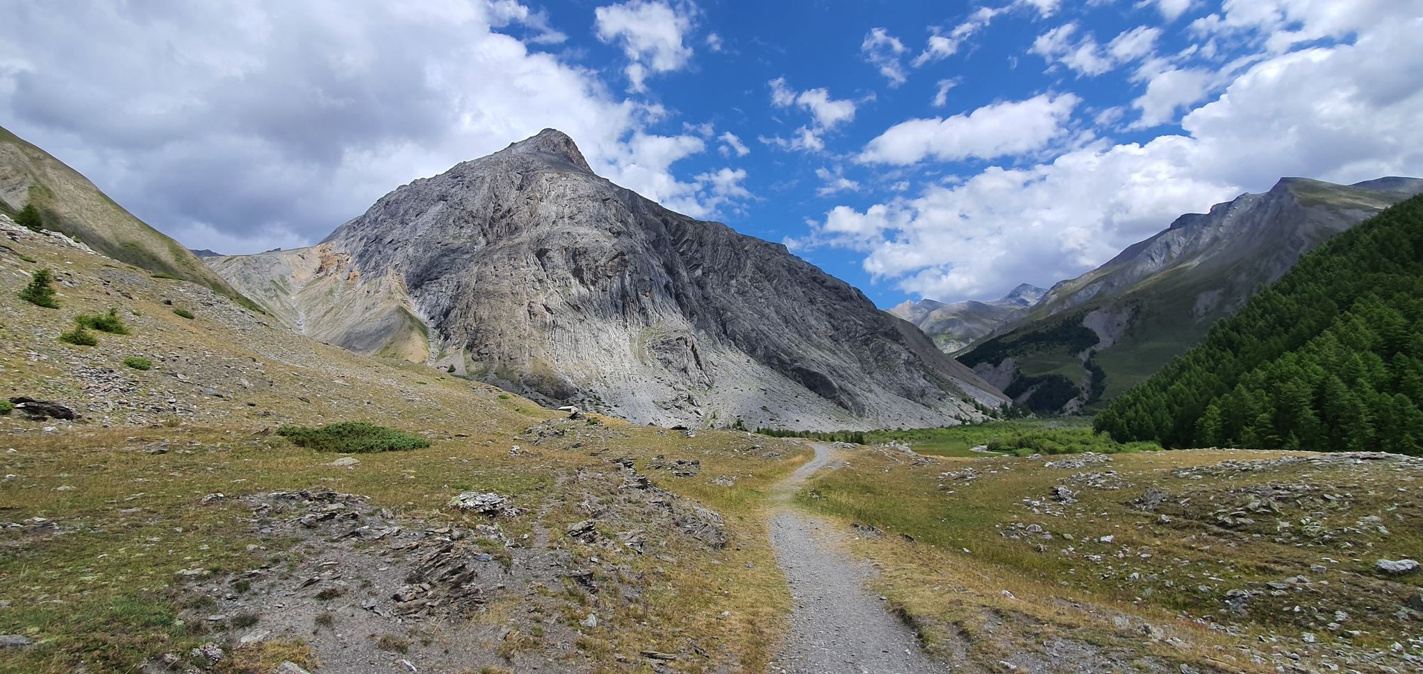
Western trans-alpine crossing – pure adventure on your mountain bike
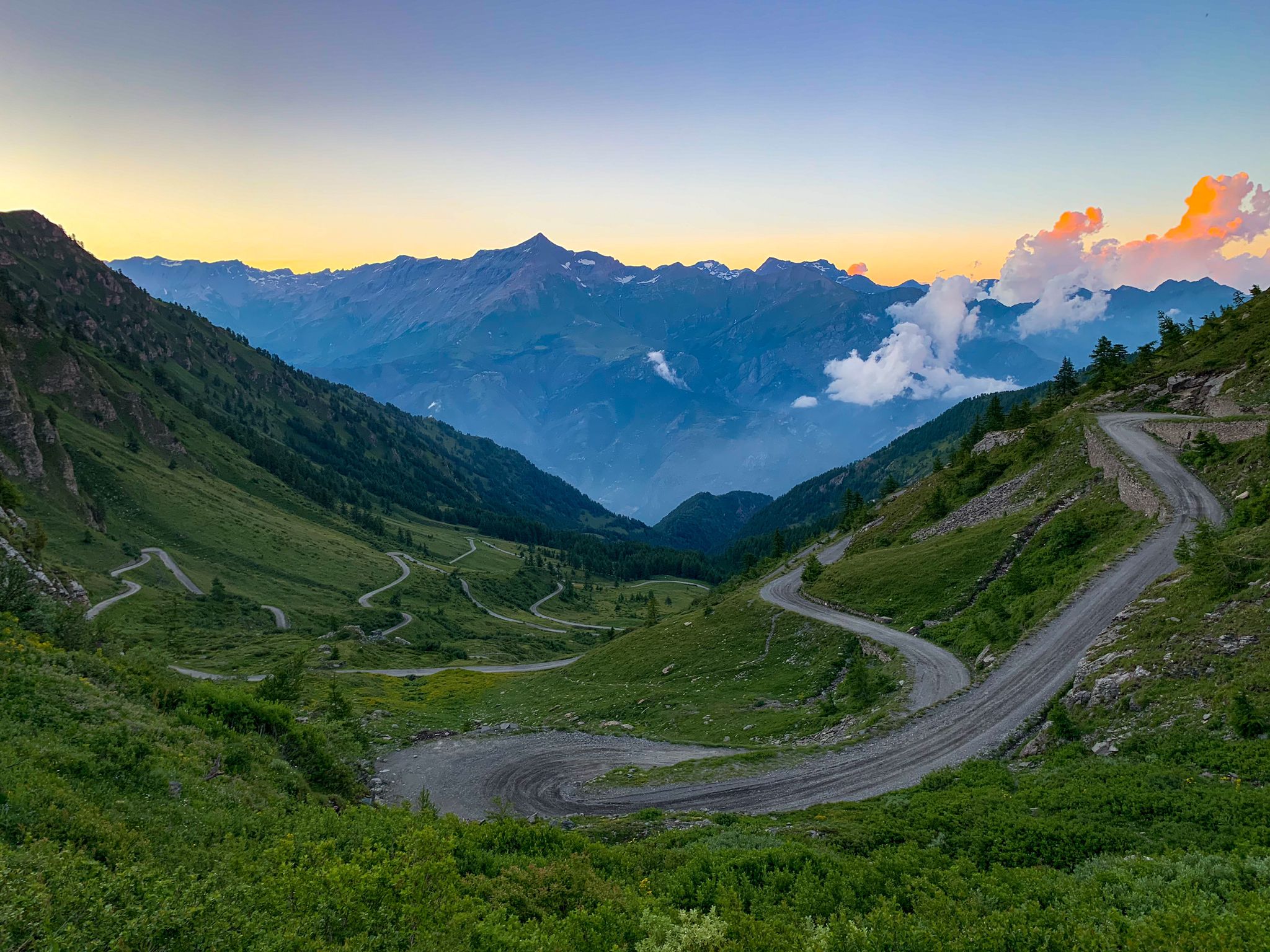
Chasing the sun across the Alps — unsupported solo
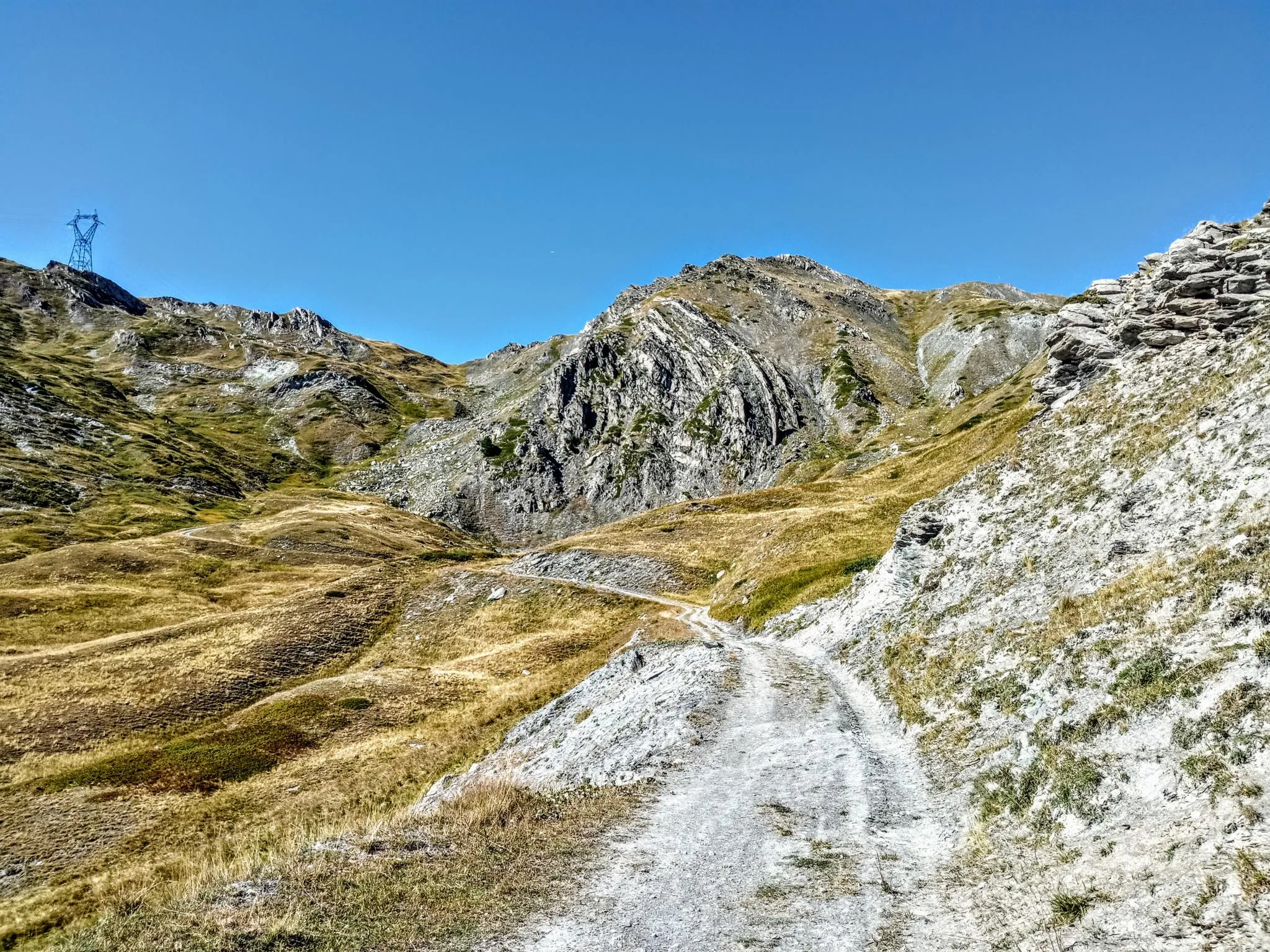
Between valleys and peaks – Ultra Gravel Tour des Alpes
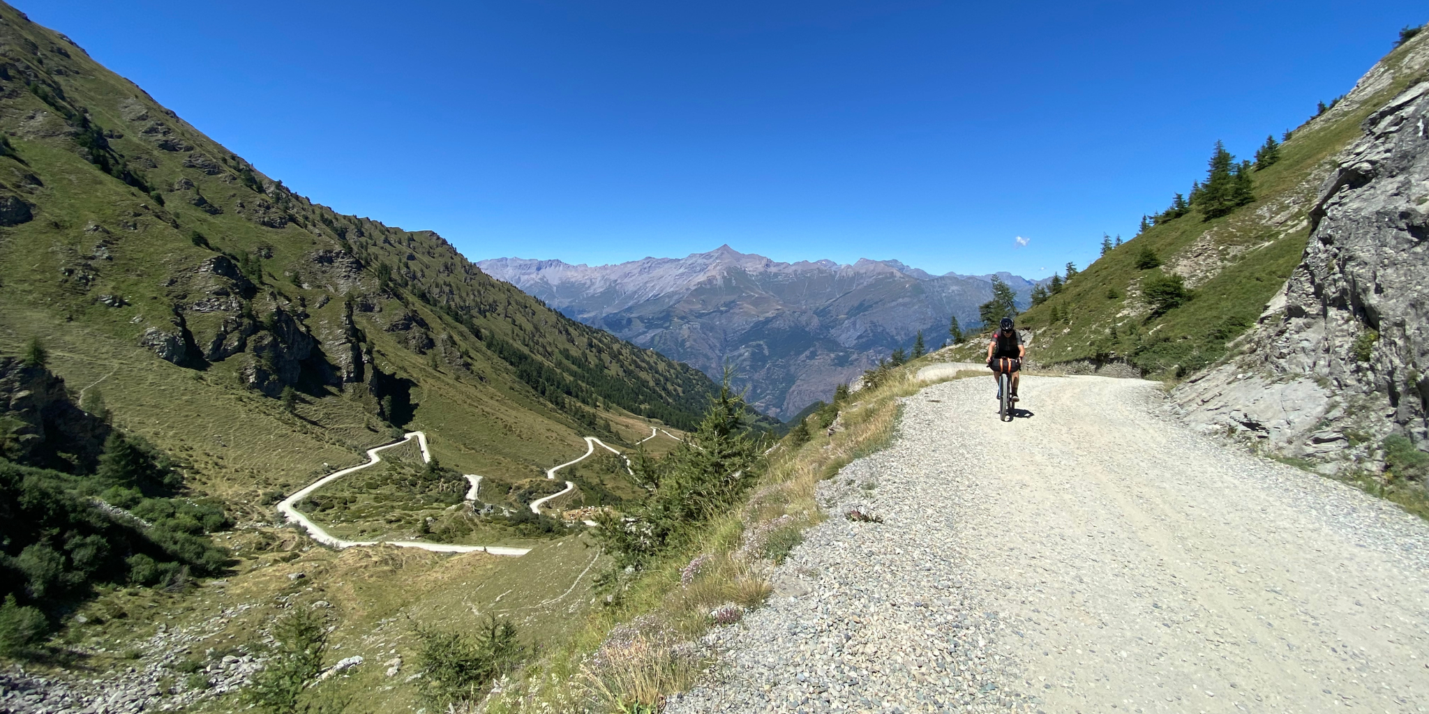
High altitude military roads – gravel routes on the Assietta road
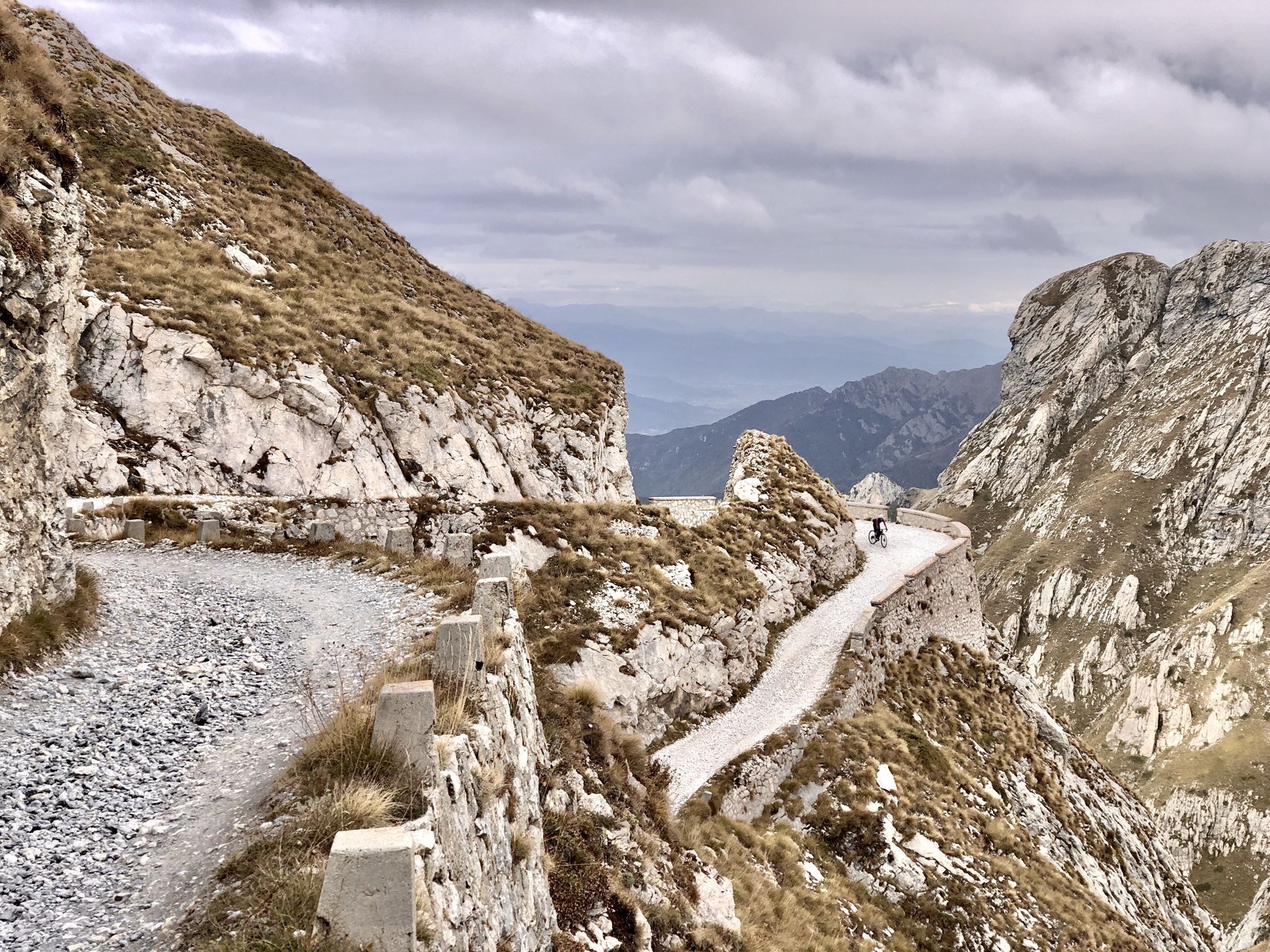
Rough and tough – spectacular gravel loops in the Alps
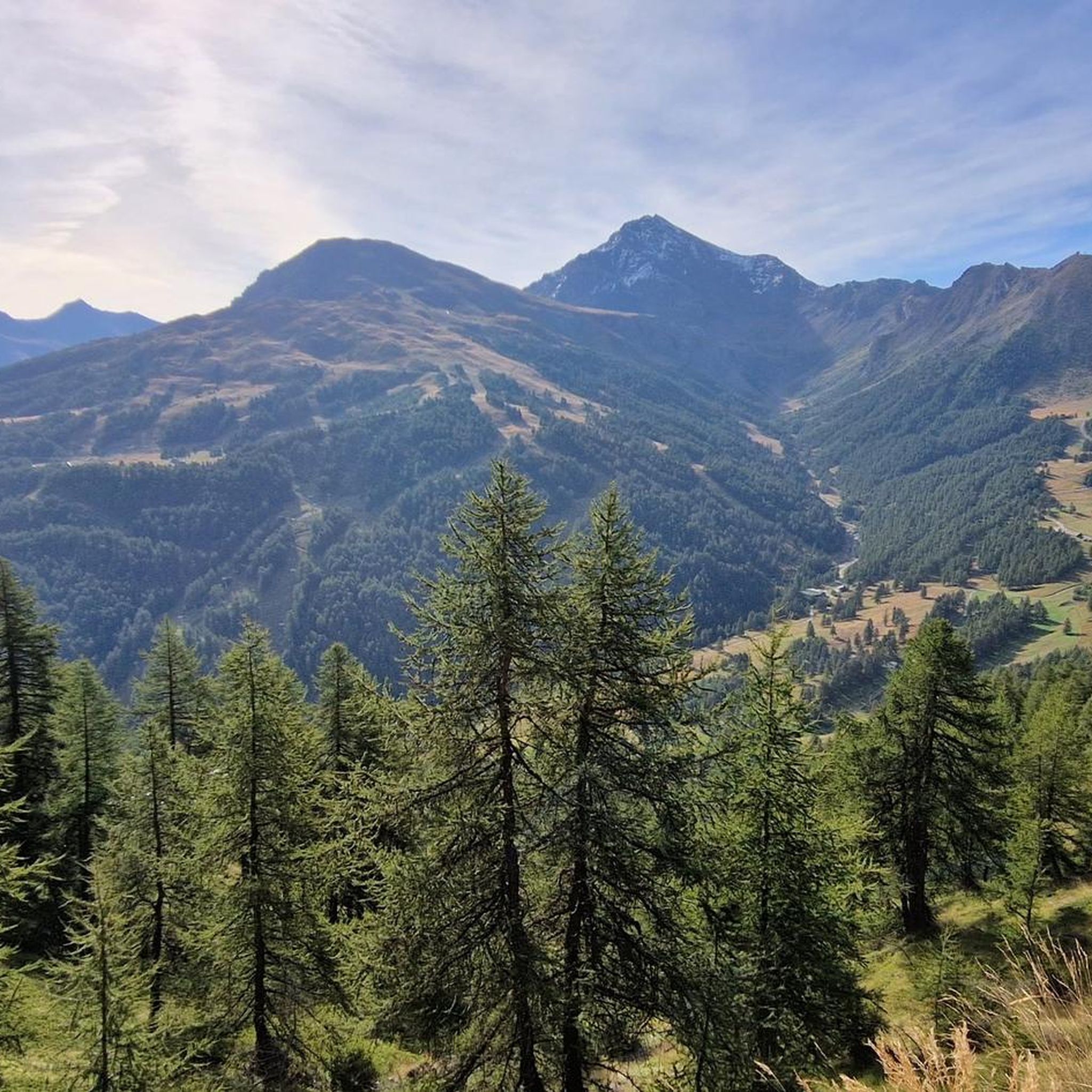
Road Cycling Routes around Sestriere
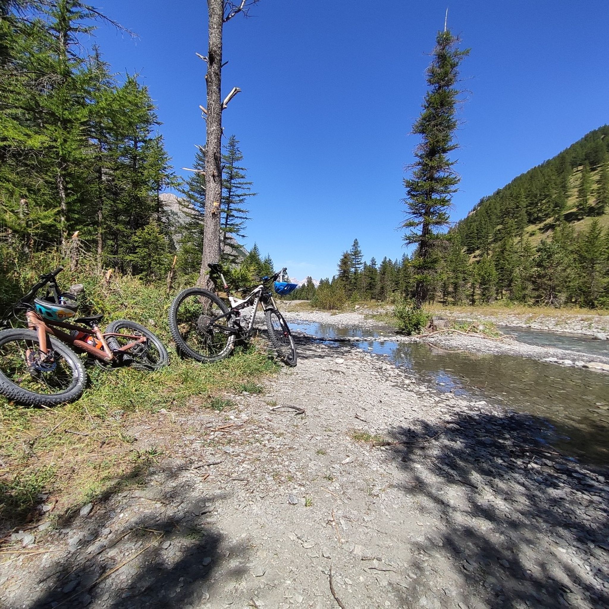
MTB Trails around Sestriere
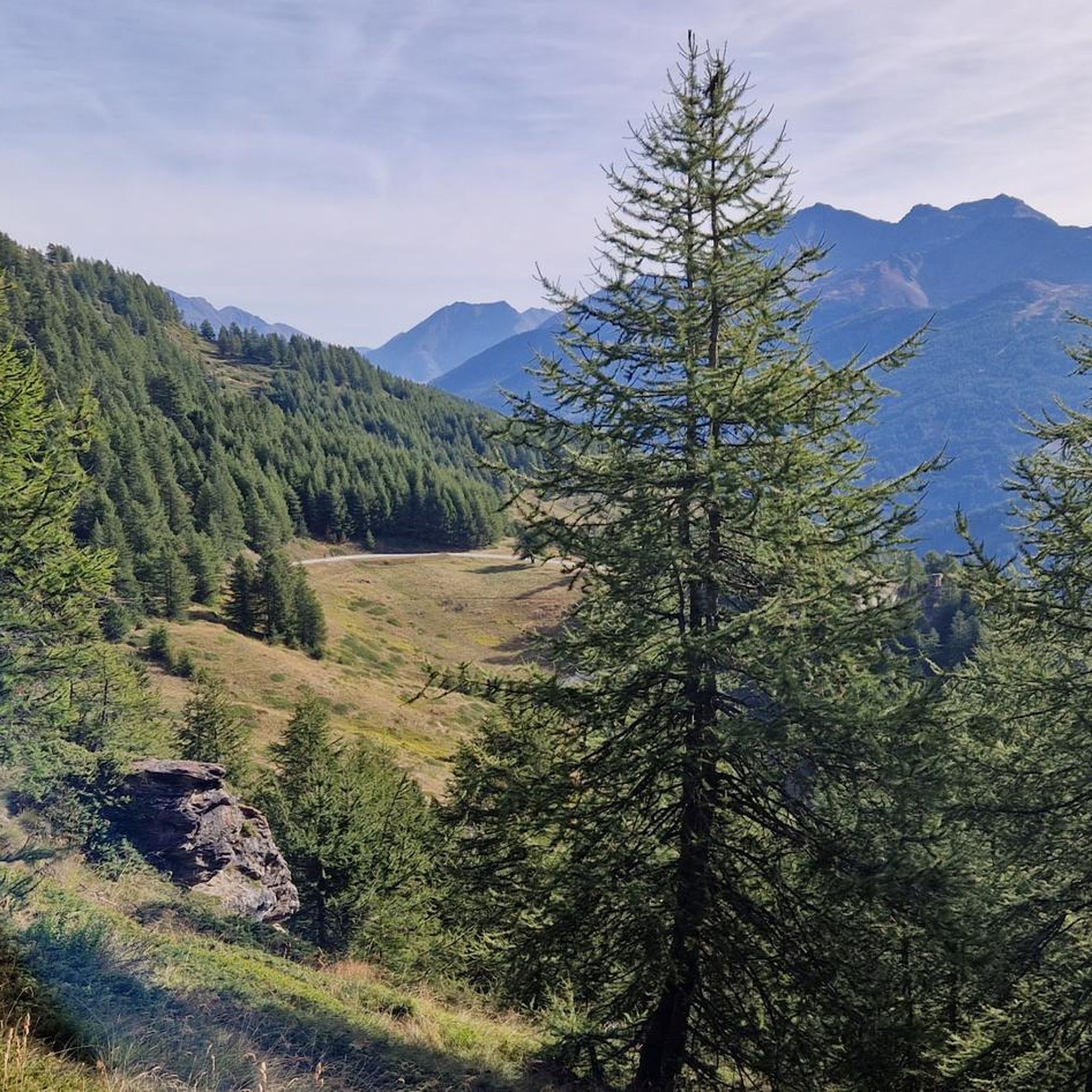
Running Trails around Sestriere
Cycling around Sestriere
Gravel biking around Sestriere
Other adventures around Sestriere


Tips from the Community

A small lake formed by the damming of the Chisonetto stream
0
1

2680m pass between Val Troncea and Chisonetto from Sestriere
0
0

The Bivacco on the top of the Bosco was dedicated to the Cesana mountain guide Mario Perona who died, along with 5 other people, in the crash of a heli-skiing helicopter in 2003.
2
0

Panorama of the Argentera Valley
0
0

A classic MTB ride, the descent towards Thures ends in an instant.
0
0

source of the Chisonetto torrent
0
0
rocky peak located at an altitude of 2300m, still in boundless nature
0
0
Frequently Asked Questions
How many hiking trails are available around Sestriere?
Sestriere offers a wide array of hiking opportunities, with over 60 trails catering to various skill levels. You'll find everything from easy walks to challenging mountaineering routes.
Are there easy or family-friendly hiking options in Sestriere?
Yes, Sestriere is well-suited for families and beginners. There are 17 easy routes, perfect for a leisurely stroll. The region offers diverse trails, including options like the "Rhododendron Trail – Laghetto del Chiosonetto loop" mentioned in regional research, which are ideal for a relaxed outing.
What kind of natural landscapes can I expect to see while hiking in Sestriere?
Sestriere is nestled in the Cottian Alps, offering stunning panoramic views of high alpine peaks, verdant valleys, and dense forests. You can explore rich ecosystems within the Val Troncea Nature Park and Gran Bosco di Salbertrand Nature Park, featuring diverse flora, lively streams, and crystal-clear alpine lakes such as Lago Nero and Lake Losetta.
Are there any circular hiking routes in Sestriere?
Yes, Sestriere features several circular routes. A popular moderate option is the Gelindo Bordin Trail Loop, which is 13.1 km long and offers panoramic views of the Valle di Susa and Hautes Alpes. For a more challenging experience, consider the Cima del Bosco Loop Trail.
What are some notable viewpoints or scenic spots along the trails?
Many trails in Sestriere offer spectacular views. Mount Fraiteve (2,701 meters) provides expansive vistas, while Col Basset (2,421 meters) offers sweeping views encompassing the Monviso Massif, the wider Cottian Alps Group, and peaks like Mount Rocciamelone and Gran Paradiso. The Gelindo Bordin Trail Loop also provides panoramic views of the Valle di Susa and Hautes Alpes.
Are there any historical sites or attractions to see while hiking?
Yes, the region combines natural beauty with historical interest. Within the Gran Bosco di Salbertrand Nature Park, some trails lead to ancient mines and military fortifications. You can also visit the Mont Chaberton Fort, a significant historical site, or explore the Montgenèvre Pass.
What do other hikers say about the trails in Sestriere?
The hiking trails in Sestriere are highly regarded by the komoot community, with an average rating of 4.6 stars from over 500 reviews. Hikers frequently praise the diverse terrain, the stunning alpine scenery, and the well-maintained paths that cater to various experience levels.
Can I find trails that lead to alpine lakes or streams?
Absolutely. The Sestriere area is home to beautiful alpine water features. You can hike to the crystal-clear Lago Nero and Lake Losetta. Additionally, the Sorgenti del Chisonetto – province of Torino trail leads directly to the sources of the Chisone stream, traversing areas with dense forests and verdant meadows.
Are there mountain huts or refuges along the hiking routes?
Yes, some hiking itineraries allow for dinner or overnight stays at mountain huts, adding a cultural element to your outdoor experience. Notable huts in the area include Assietta Refuge, Mulino di Laval Mountain Hut, and Troncea Hut.
What is the best time of year for hiking in Sestriere?
Sestriere transforms into a summer hub for hikers, bikers, and nature lovers, making the warmer months ideal for exploring its extensive trail network. While specific conditions vary, late spring through early autumn generally offers the most favorable weather for hiking, allowing access to high alpine areas and vibrant flora.
Are there any trails that offer a mix of forest and open alpine landscapes?
Many trails in Sestriere provide a varied experience. For instance, the route to Col Basset traverses both alpine meadows and coniferous forests. The Val Troncea Nature Park also features dense forests alongside open meadows and streams, offering a dynamic hiking environment.
Most popular routes around Sestriere
Most popular attractions around Sestriere

Get inspired with the komoot mobile app


Explore more
Browse the best Hikes in other regions.
