The best running trails around Mühlbach - Rio Di Pusteria
4.9
(51)
990
runners
56
runs
Jogging routes around Mühlbach - Rio Di Pusteria offer diverse landscapes within the Puster Valley, set against the backdrop of the Dolomites. The region features expansive meadows, dense coniferous forests, and alpine pastures, providing varied terrain for running. It is strategically located at the junction of the Puster Valley and the Eisacktal (Valle Isarco), offering access to distinct natural environments. Natural water features, including rivers and alpine lakes, add to the scenic beauty of the trails.
Best jogging routes around…
Last updated: November 7, 2026
4.6
(9)
98
runners
7.17km
00:52
220m
220m
Moderate run. Good fitness required. Mostly paved surfaces.
4.5
(8)
77
runners
5.30km
00:39
160m
160m
Moderate run. Good fitness required. Mostly paved surfaces.

5.0
(1)
65
runners
11.4km
01:25
380m
380m
Hard run. Very good fitness required. Mostly paved surfaces.
4.5
(2)
56
runners
Moderate run. Good fitness required. Mostly paved surfaces.
5.0
(3)
62
runners
Moderate run. Good fitness required. Mostly paved surfaces.
Get access to more routes and recommendations from other explorers.
Already have an account?
Our route recommendations are based on thousands of hikes, rides, and runs completed by other people on komoot.
Start today with a free account
Your next adventure awaits.
Popular around Mühlbach - Rio Di Pusteria
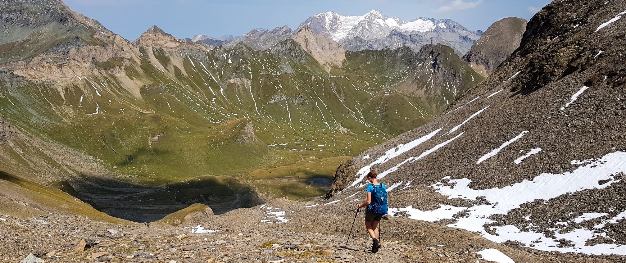
The Pfunderer High Route – Alpine. Solitary. Breathtaking.
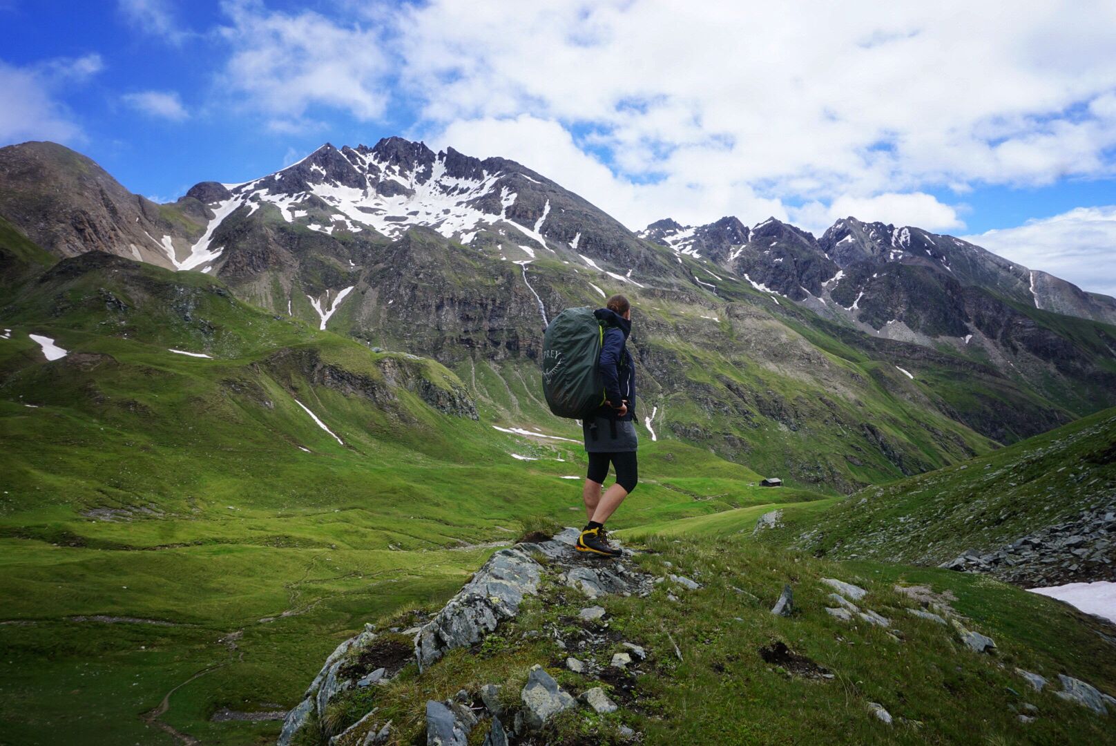
Pfunderer Mountain Trail in South Tyrol – high alpine hiking
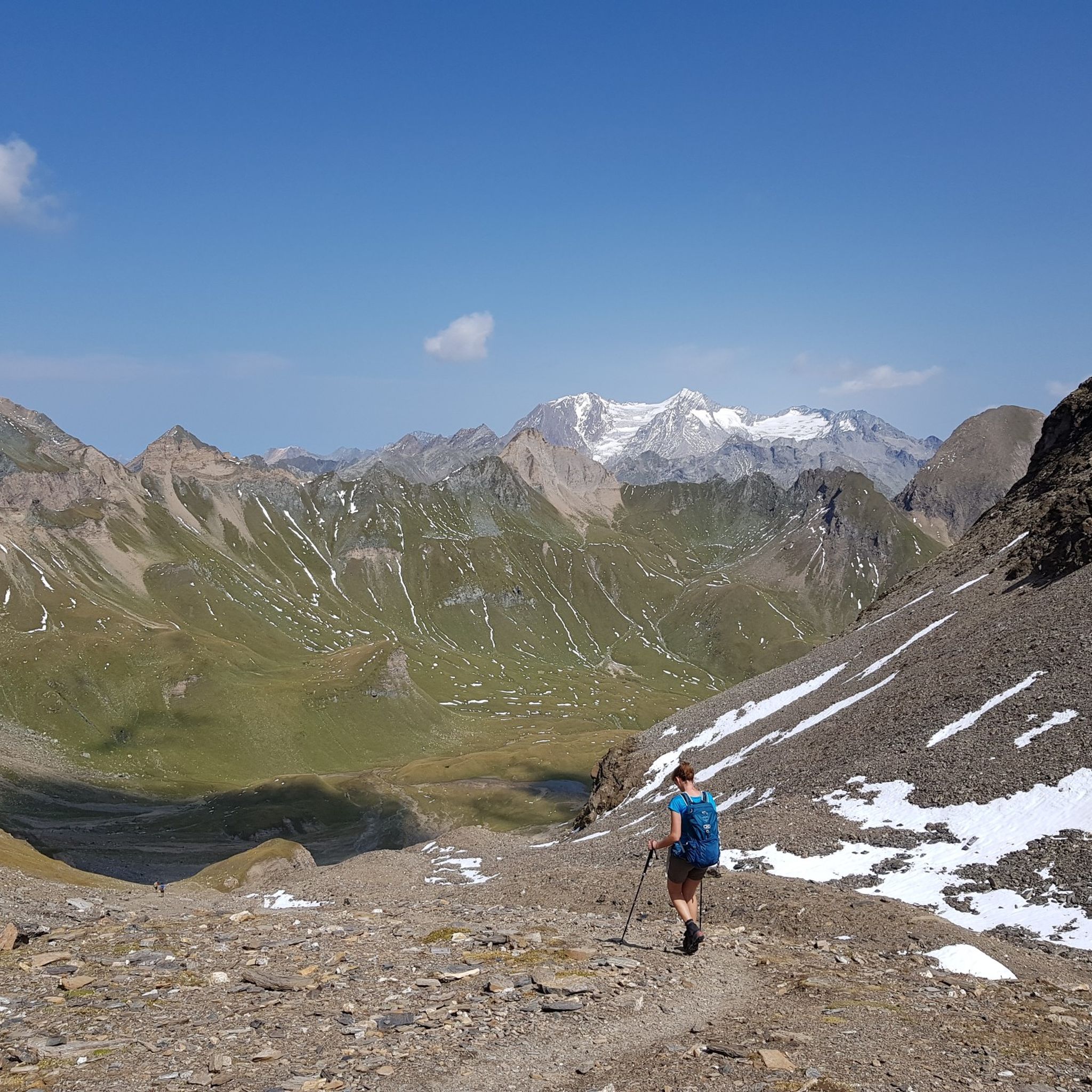
Hiking around Mühlbach - Rio Di Pusteria
Cycling around Mühlbach - Rio Di Pusteria
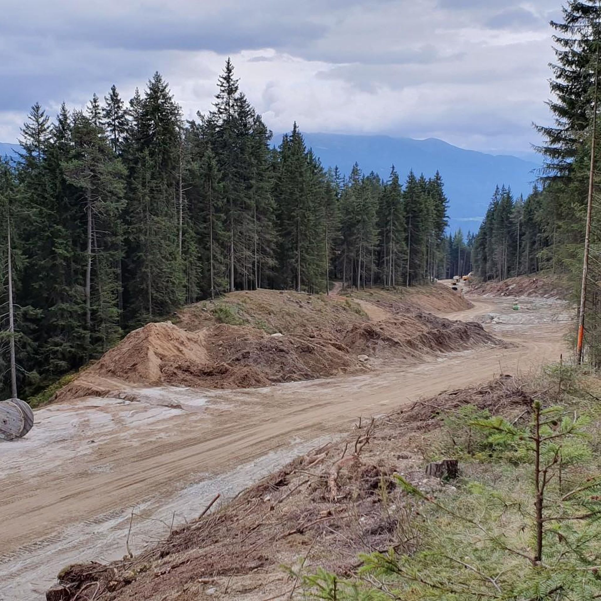
MTB Trails around Mühlbach - Rio Di Pusteria
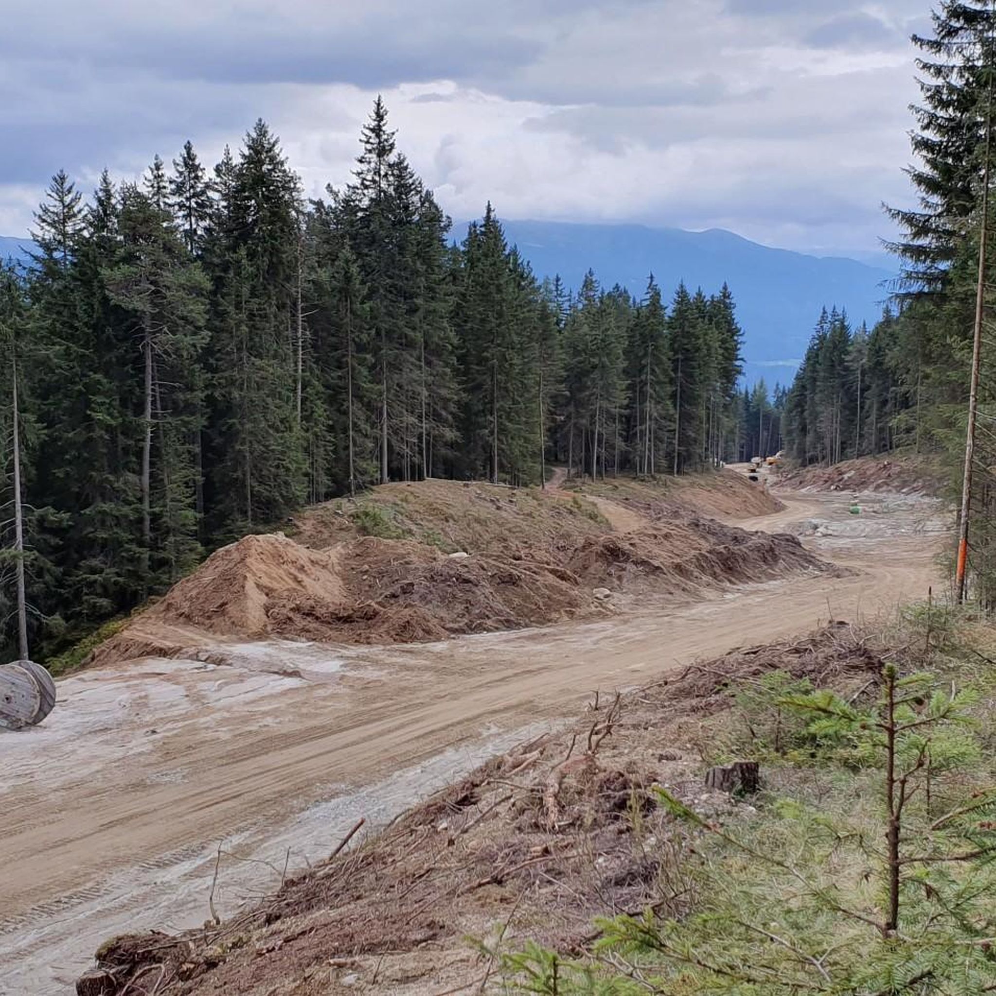
Road Cycling Routes around Mühlbach - Rio Di Pusteria
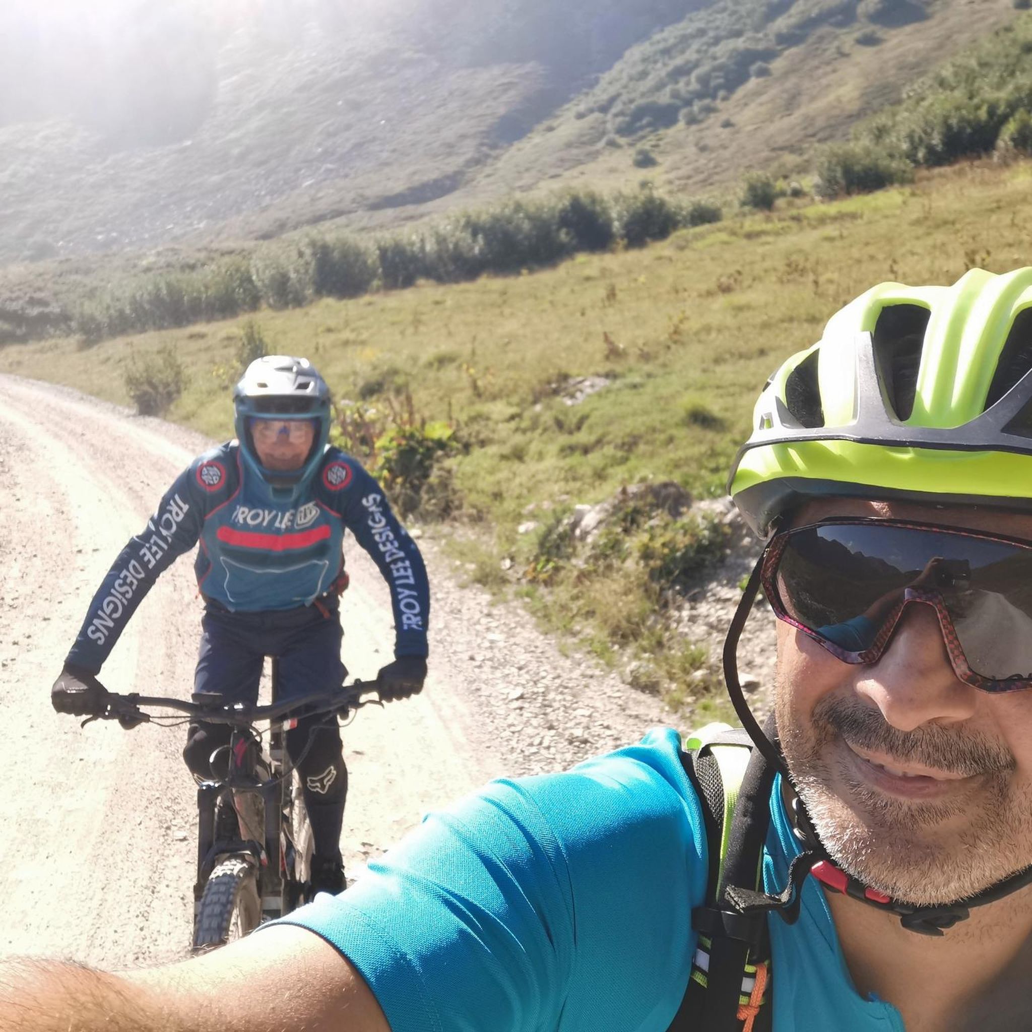
Mountain Hikes around Mühlbach - Rio Di Pusteria
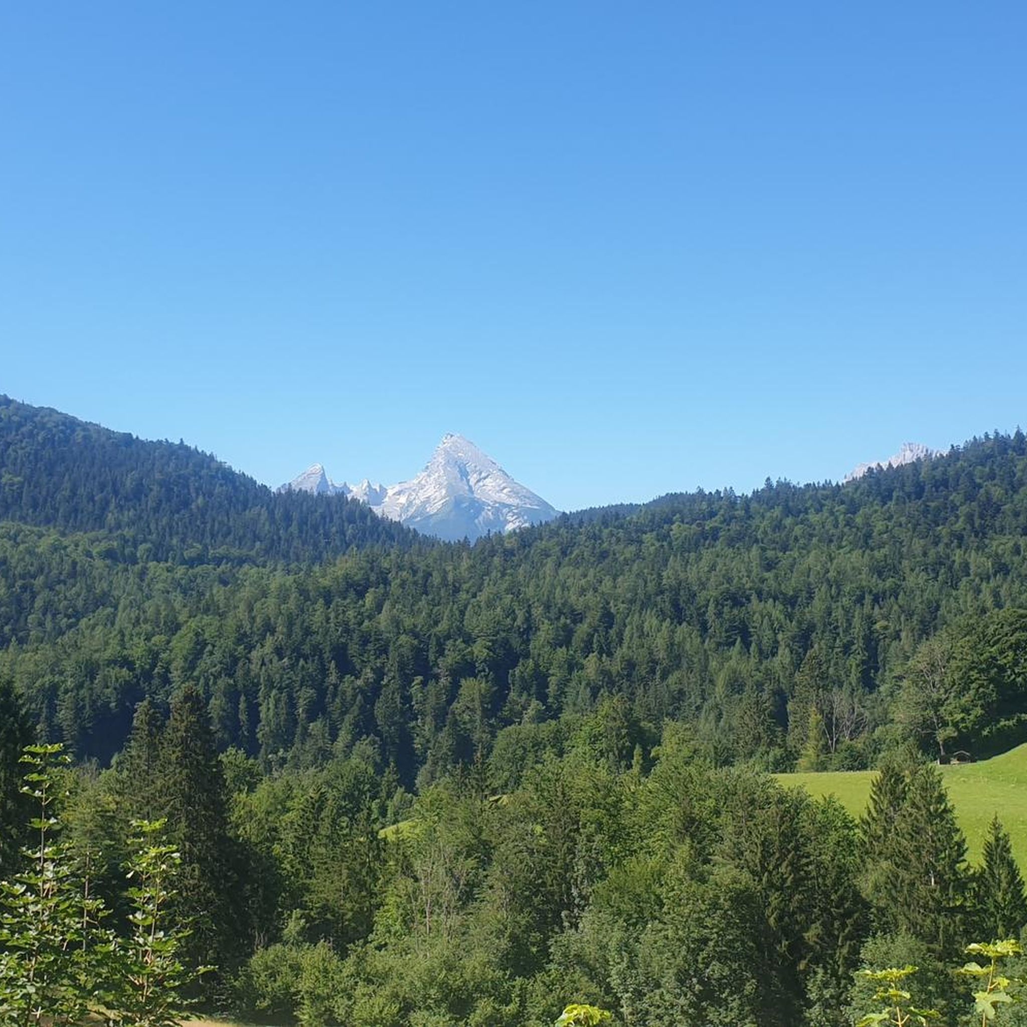
Gravel biking around Mühlbach - Rio Di Pusteria
Other adventures around Mühlbach - Rio Di Pusteria


Tips from the Community

🏡✨ From here you have a breathtaking view of the entire Valsertal valley, which is framed by the mighty Pfunderer Berge mountains in the north and the Tux Alps in the south 🏞️🌿.
0
0
The Valler Bach is a crystal-clear mountain stream whose water originates from the glaciers and snowfields of the Ortler Alps, creating a refreshing, cool atmosphere along its course. Hikers can follow the stream, discover small waterfalls and pools, or take a break on its banks amidst the silence of the mountains. A nature experience that offers pure peace and freshness.
0
0
The roots of Malga Fane date back to the Middle Ages, when shepherds and farmers from the Eisacktal and Pustertal valleys used the high alpine meadows of the Valsertal to graze their cattle. For centuries, the Malga was a central place of self-sufficiency: milk was processed into cheese and butter, wool was spun, and life in the mountains was organized here. With the rise of tourism in the 19th and 20th centuries, Malga Fane developed into a cultural meeting point. Today, it is not only a place of regional production, but also a symbol for the preservation of alpine farming traditions in the Dolomites.
0
0
The Valler Bach is a crystal-clear mountain stream, whose water originates from the glaciers and snowfields of the Ortler Alps and provides a refreshing, cool atmosphere along its course. Hikers can follow the stream, discover small waterfalls and pools, or take a break on its banks amidst the silence of the mountains. A nature experience that offers pure peace and freshness.
0
0
The Ochsensprung bridge (Salto del Bove) is one of the most spectacular wooden bridges in the Dolomites and is located in the Valsertal valley (South Tyrol). It crosses the narrow gorge of the Rio di Fanes and offers hikers a breathtaking view into the depths – a highlight for adventure seekers and photographers! The name "Ochsensprung" (Italian: Salto del Bove) comes from an old legend, according to which an ox once dared to jump across the gorge – and thus inspired the bridge.
0
0

Beautiful cycle path great route guidance
0
0
Very beautiful ruin 🏚️
0
0
Perfect for anyone who loves challenging hikes with breathtaking panoramas! 🏔️🥾 These routes take you through wild mountain landscapes, steep switchbacks, and idyllic alpine pastures – with a reward: the Fane Alm and a 360° view over the Valsertal!
0
0
Frequently Asked Questions
How many running trails are available in Mühlbach - Rio di Pusteria?
The Mühlbach - Rio di Pusteria region offers a wide network of over 50 running trails. These routes cater to various fitness levels, ranging from easy jogs to more challenging runs through diverse landscapes.
Are there easy running routes suitable for beginners or families?
Yes, the region provides several easy running routes perfect for beginners or families. For instance, the Mühlbacher Klause Castle – Mühlbacher Klause loop from Mühlbach - Rio di Pusteria is a moderate 4.5-mile (7.3 km) path with minimal elevation gain, offering a pleasant experience. The Pusterbike Cycle Path also provides a relatively flat and scenic option for leisurely jogs.
What kind of terrain can I expect on the jogging trails in Mühlbach - Rio di Pusteria?
Running trails in Mühlbach - Rio di Pusteria feature diverse terrain, from expansive meadows and dense coniferous forests to alpine pastures. You'll find routes along riverbanks, through valleys like the Puster Valley and Eisacktal, and with stunning backdrops of the Dolomites. Some paths are well-maintained cycle paths, while others are natural trails.
Are there any running routes that pass by waterfalls or other natural water features?
Absolutely! The region is rich in natural water features. The Fane Alm – Riva Waterfall loop from Valler Tal is a popular 7.1-mile (11.4 km) trail that leads through alpine meadows and directly past the impressive Riva Waterfall. You can also find routes following the Valler Bach river, such as the View of Valles (Vals) – Trail Along the Valler Bach loop from Valler Tal.
Can I bring my dog on the running trails in Mühlbach - Rio di Pusteria?
Many trails in the Mühlbach - Rio di Pusteria region are dog-friendly, allowing you to enjoy your run with your canine companion. However, it's always recommended to keep dogs on a leash, especially in nature reserves, near livestock, or in busy areas, and to check specific trail regulations if available.
Are there any circular running routes in the area?
Yes, many of the running routes in Mühlbach - Rio di Pusteria are designed as circular loops, allowing you to start and end at the same point without retracing your steps. Examples include the View of Valles (Vals) – View of Vals loop from Biotop Aichnermoos and the Uitzenau Natural Monument – Trail Along the Valler Bach loop from Valler Tal.
What are some notable landmarks or attractions I might see while running?
While running in Mühlbach - Rio di Pusteria, you can encounter several interesting landmarks and natural features. The historic Mühlbacher Klause Castle is a prominent sight. You might also pass by natural highlights like the Altfasstal Valley or the Sommersürs Biotope. The region also offers stunning views of the Dolomites and picturesque alpine villages like Fane Alm.
Is there parking available near the running trailheads?
Yes, parking is generally available near popular trailheads and villages in the Mühlbach - Rio di Pusteria region. Many starting points for routes, especially those accessible from towns like Rio Pusteria or Valles, offer designated parking areas. It's advisable to check specific route details for parking information.
What is the best season for running in Mühlbach - Rio di Pusteria?
The best season for running in Mühlbach - Rio di Pusteria is typically from late spring to early autumn (May to October). During these months, the weather is mild, trails are clear of snow, and the landscapes are lush and vibrant. Summer offers longer daylight hours, while autumn brings beautiful foliage. Winter running is possible on cleared paths, but many higher-altitude trails may be snow-covered.
Are there more challenging running trails for experienced runners?
Yes, for experienced runners seeking a challenge, Mühlbach - Rio di Pusteria offers a good selection of difficult routes. Out of over 50 trails, 32 are classified as difficult, featuring greater elevation gains and more technical terrain. These routes often lead into higher alpine areas, providing demanding workouts and rewarding views.
What do other runners say about the trails in this region?
The running trails in Mühlbach - Rio di Pusteria are highly rated by the komoot community, with an average score of 4.96 stars from over 30 reviews. Runners often praise the region's diverse landscapes, the stunning Dolomite backdrops, and the well-maintained network of paths that cater to various abilities.
Are there any routes that offer views of the Dolomites?
Many running routes in Mühlbach - Rio di Pusteria provide spectacular views of the Dolomites. The region is nestled against this UNESCO World Heritage site, and trails often offer panoramic vistas of the dramatic limestone formations. Routes in the southern side valleys, for example, serve as gateways to these iconic mountains.
Most popular routes around Mühlbach - Rio Di Pusteria
Most popular attractions around Mühlbach - Rio Di Pusteria

Get inspired with the komoot mobile app


Explore more
Browse the best Running Trails & Routes in other regions.
