The best walks and hikes around Sierning
4.5
(2461)
16,842
hikers
49
hikes
Hiking around Sierning offers diverse landscapes, from gentle, wooded hills to the more rugged terrain near the Kalkalpen National Park. The region is characterized by its proximity to limestone Alps scenery, dense beech woodlands, and scenic river valleys like the Krems and Sierning. Hikers can explore areas within the Sierningtal-Flatzer Wand Nature Park and ascend hills such as Damberg for panoramic views.
Best hiking trails around Sierning
- The most popular hiking route is View of Neuzeug – Pasque Flower Below…
Last updated: November 3, 2026
5.0
(1)
44
hikers
5.61km
01:28
50m
50m
Easy hike. Easily walkable paths.
5.0
(1)
23
hikers
6.53km
01:47
100m
100m
Easy hike. Easily walkable paths.

15
hikers
5.00km
01:22
80m
80m
Easy hike. Easily walkable paths.
3.0
(6)
10
hikers
8.12km
02:09
70m
70m
Moderate hike. Good fitness required. Easily walkable paths.
13
hikers
Easy hike. Easily walkable paths.
Get access to more routes and recommendations from other explorers.
Already have an account?
Our route recommendations are based on thousands of hikes, rides, and runs completed by other people on komoot.
Start today with a free account
Your next adventure awaits.

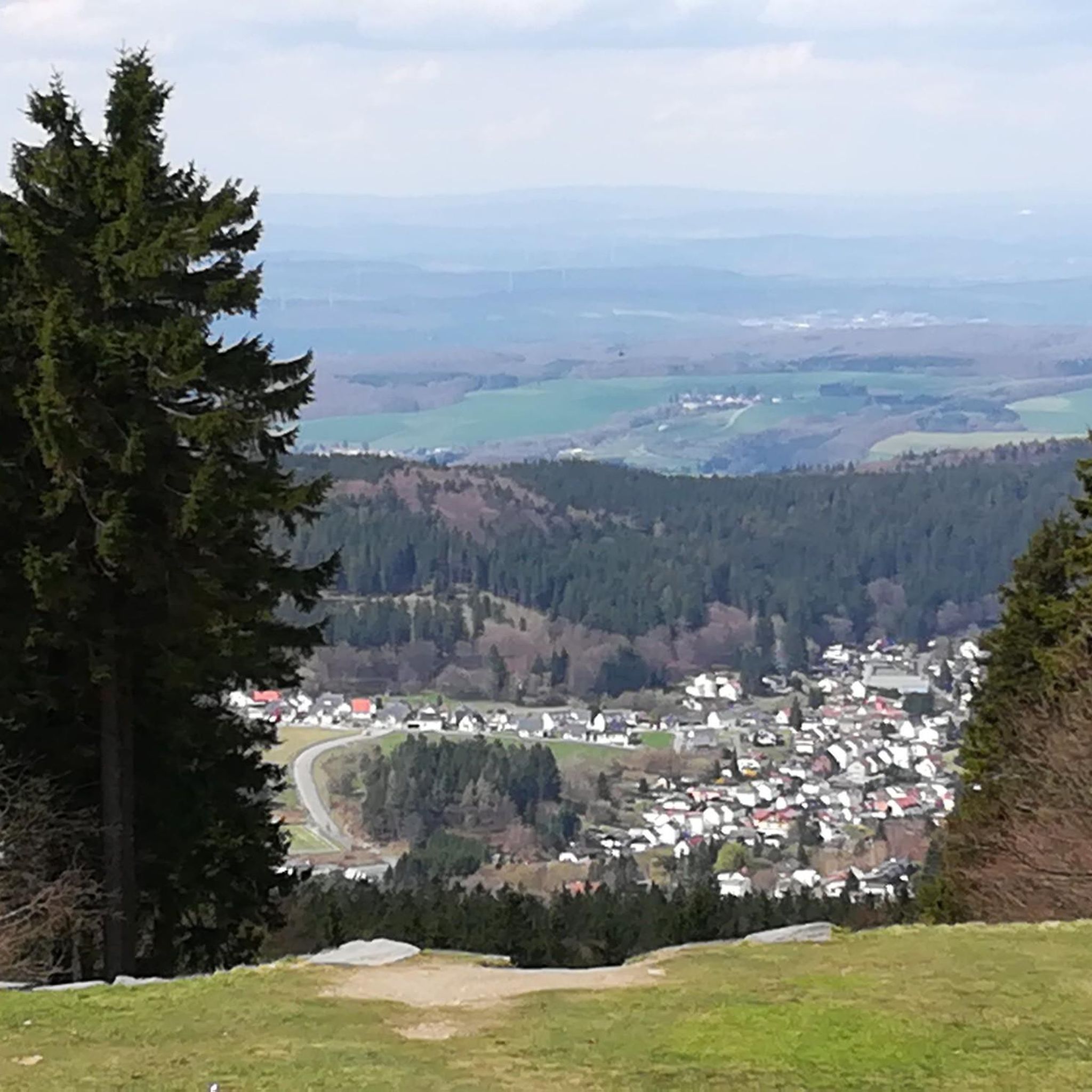
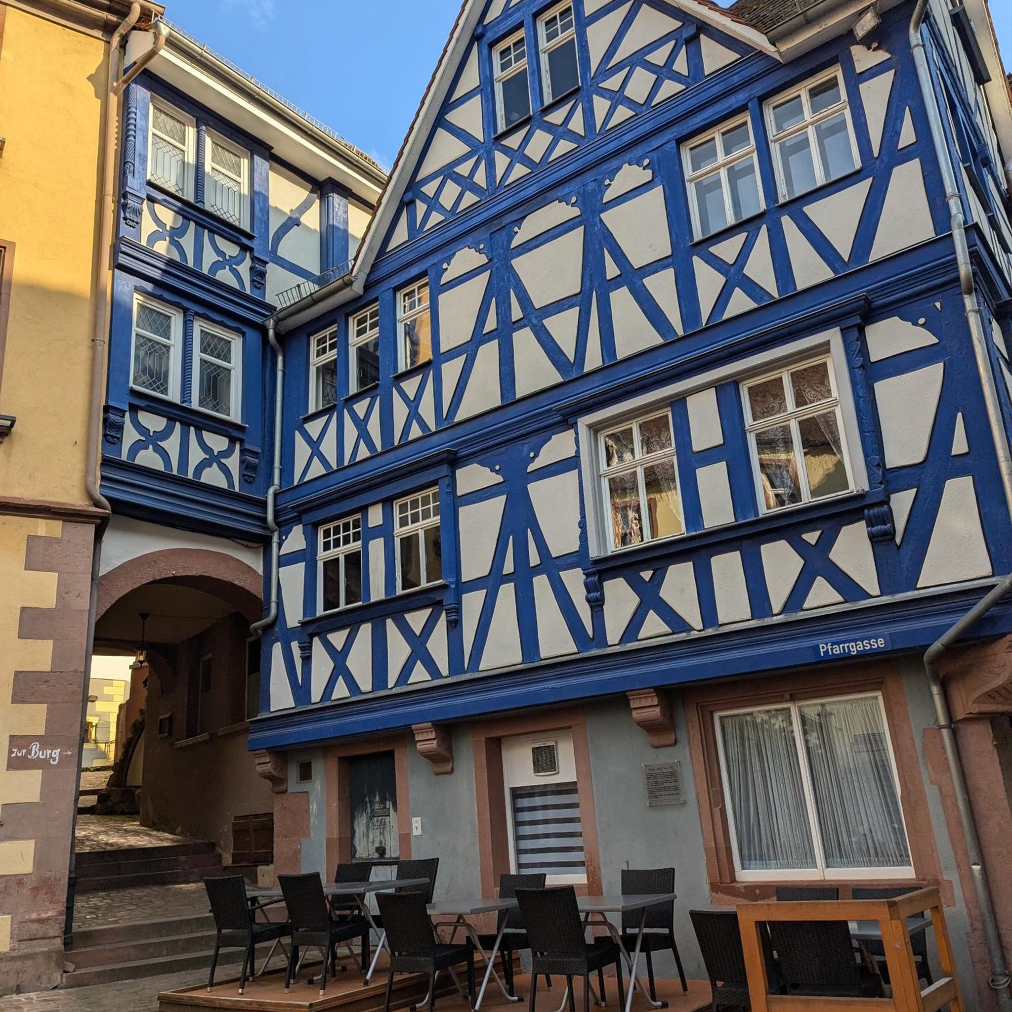
Other adventures around Sierning

Tips from the Community


The Kreuzberg in the municipality of Sierning has several special features: the Way of the Cross with 14 stations, an avenue of fruit trees and the occurrence of the common pasque flower (flowering period March to April) on the so-called pasque flower. The pasquefloor with the semi-dry lawn is maintained by the "Nature and Environmental Protection Association Sierninghofen-Neuzeug". It has been a natural monument since 1995. http://www.kuhschelle.at/geschichte.html There is also a beautiful view of the Lower Steyr Valley with the Sierningen district of Sierninghofen-Neuzeug and of the mountains. If you look very closely, you can also discover the Steyr.
1
0

beautiful little pebble beach on the Steyr
0
0
Frequently Asked Questions
How many hiking trails are available around Sierning?
There are over 50 hiking trails around Sierning, catering to various skill levels. You'll find 33 easy routes, 21 moderate routes, and 1 difficult trail, ensuring options for everyone from casual walkers to experienced hikers.
What kind of landscapes can I expect to see while hiking near Sierning?
Hiking around Sierning offers a diverse range of landscapes. You'll encounter gentle, wooded hills, scenic river valleys like the Krems and Sierning, and areas within the Sierningtal-Flatzer Wand Nature Park. The region also serves as a gateway to the more rugged limestone Alps scenery and dense beech woodlands of the nearby Kalkalpen National Park.
Are there any easy circular walks suitable for a relaxed outing?
Yes, Sierning offers several easy circular walks. For instance, the Manor House Chapel loop from Sierning is an easy 6.7 km route, or you could try the Manor House Chapel loop from Steyrtal-Museumsbahn, which is 5.0 km long and also easy.
What are some notable viewpoints or natural features to explore?
The region boasts several rewarding viewpoints and natural features. You can ascend Damberg for a 360-degree panoramic view, enhanced by the Damberg Observation Tower. For a natural spectacle, consider visiting the Fallerbucht Waterfall. The confluence of the Steyr and Enns rivers also offers a picturesque sight.
Are there any moderate trails for hikers looking for a bit more challenge?
Certainly. For a moderate challenge, consider the Forest Path loop from Sierning. This 8.1 km trail leads through wooded areas and typically takes about 2 hours and 9 minutes to complete.
What do other hikers enjoy most about the trails in Sierning?
The trails in Sierning are highly rated by the komoot community, with an average score of 4.5 stars from over 370 reviews. Hikers often praise the diverse terrain, from gentle hills to wooded paths, and the accessibility of routes for different fitness levels.
Are there opportunities for longer, more challenging hikes near Sierning?
While Sierning itself offers mostly easy to moderate trails, its proximity to the Kalkalpen National Park provides access to a vast network of more demanding mountaineering routes. The National Park features Austria's largest continuous area of woodland and offers challenging trails amidst limestone Alps scenery.
Can I find places to rest and eat along the hiking routes?
Yes, the region is known for its welcoming mountain accommodations. The Grünburger Hut, for example, is a popular mountain hut known for its cuisine and views, offering a perfect spot to rest and enjoy local food during your hike.
What is the best time of year to go hiking in Sierning?
Sierning is enjoyable for hiking throughout much of the year. The diverse landscapes, from wooded hills to river valleys, offer pleasant conditions in spring, summer, and autumn. For more challenging routes in the higher elevations of the Kalkalpen National Park, late spring to early autumn is generally ideal.
Where can I find more information about hiking in the broader region, including the Kalkalpen National Park?
For more detailed information on hiking trails within the broader region, including the Kalkalpen National Park, you can visit the official tourism website for Steyr and the National Park: steyr-nationalpark.at. This resource provides extensive details on the various routes available.
Are there any specific trails that offer a good overview of the local area?
For a good overview of the local landscape, the View of Neuzeug – Pasque Flower Below Kreuzberg loop from Sierning is an excellent choice. This easy 5.6 km trail provides scenic views and takes about 1 hour and 28 minutes to complete.
Most popular routes around Sierning
Most popular attractions around Sierning

Get inspired with the komoot mobile app


Explore more
Browse the best Hikes in other regions.
