The best walks and hikes around Pila
4.4
(1346)
7,840
hikers
11
hikes
Hiking around Pila offers diverse landscapes within the Aosta Valley, characterized by majestic alpine panoramas and varied terrain. The region features cool woods of fir and larch, high-altitude pastures, and ridges, providing a range of hiking experiences. Trails often present views of prominent Alpine peaks, including Mont Blanc, Grand Combin, the Matterhorn, and Monte Rosa. Accessibility is enhanced by lifts, allowing hikers to reach higher elevations easily.
Best hiking trails around Pila
- The most popular hiking route is Ascent to Cima Ometto from Alpe Mera, a 7.1 miles (11.5 km) trail that takes 4 hours 25 minutes to complete. This route offers views from Cima Ometto.
- Another top favourite among local hikers is On the heights of Alpe Mera − loop tour, a moderate 5.8 miles (9.3 km) path. This loop explores the alpine pastures and heights of Alpe Mera.
- Local hikers also love the From Scopello to Piode via Alpe di Mera (Route 239), a 5.6 miles (9.0 km) trail leading through Alpe di Mera, often completed in about 2 hours 38 minutes.
- Hiking around Pila is defined by alpine panoramas, cool woods of fir and larch, and high-altitude pastures. The network offers options for various ability levels, from easy walks to more demanding routes.
- The routes in Pila are highly rated by the komoot community with an average score of 4.5 stars from over 1200 reviews. More than 7000 hikers have used komoot to explore Pila's varied terrain.
Last updated: September 26, 2026
7
hikers
11.5km
06:33
1,140m
1,140m
Hard hike. Very good fitness required. Sure-footedness, sturdy shoes and alpine experience required.
3.0
(1)
10
hikers
9.66km
04:52
820m
820m
Moderate hike. Good fitness required. Mostly accessible paths. Sure-footedness required.

2
hikers
9.63km
04:42
820m
810m
Moderate hike. Good fitness required. Mostly accessible paths. Sure-footedness required.
3.3
(4)
27
hikers
3.78km
01:02
50m
50m
Easy hike. Great for any fitness level. Easily-accessible paths. Suitable for all skill levels.
4.7
(3)
16
hikers
6.39km
03:32
630m
630m
Hard hike. Good fitness required. Sure-footedness, sturdy shoes and alpine experience required.
Get access to more routes and recommendations from other explorers.
Already have an account?
Our route recommendations are based on thousands of hikes, rides, and runs completed by other people on komoot.
Start today with a free account
Your next adventure awaits.
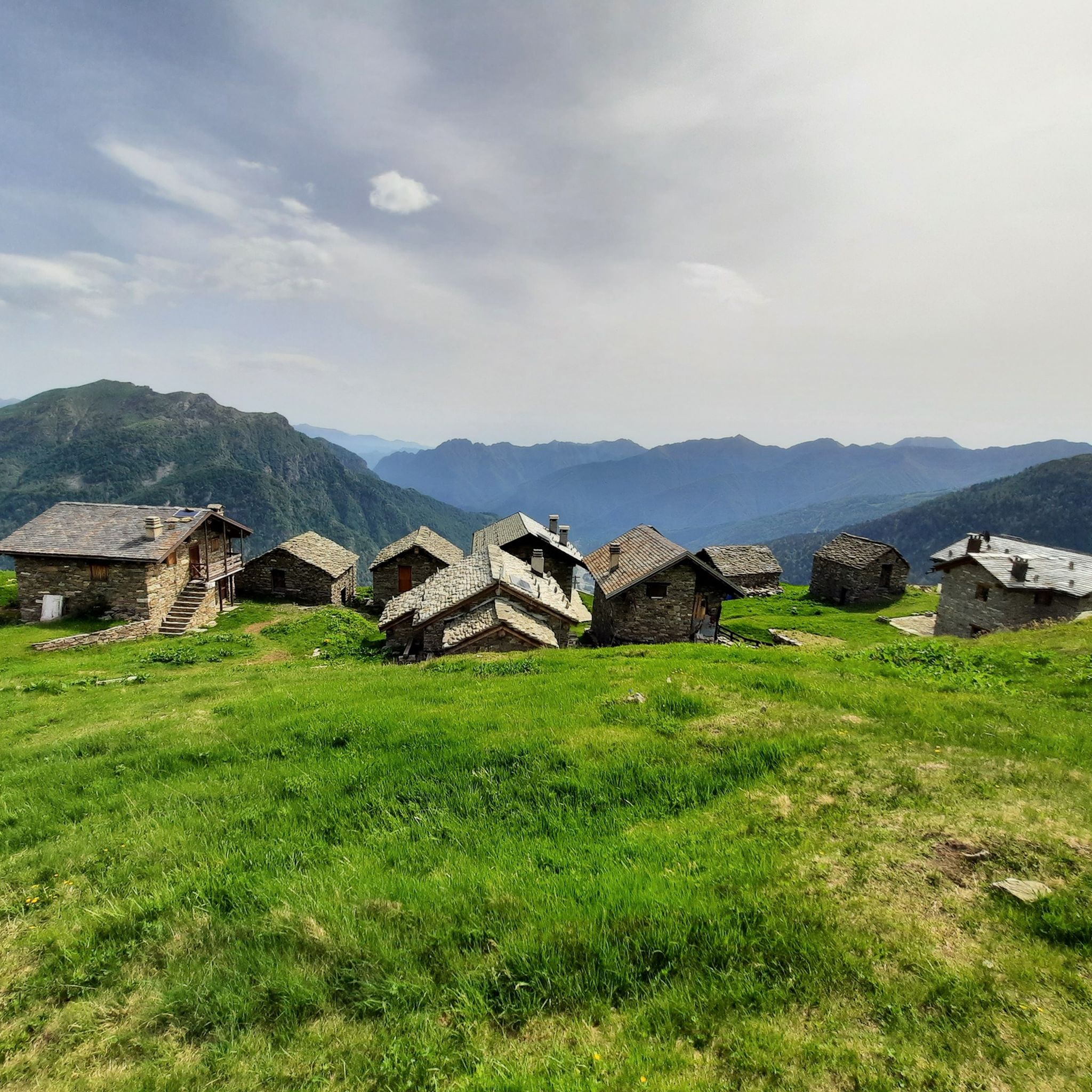
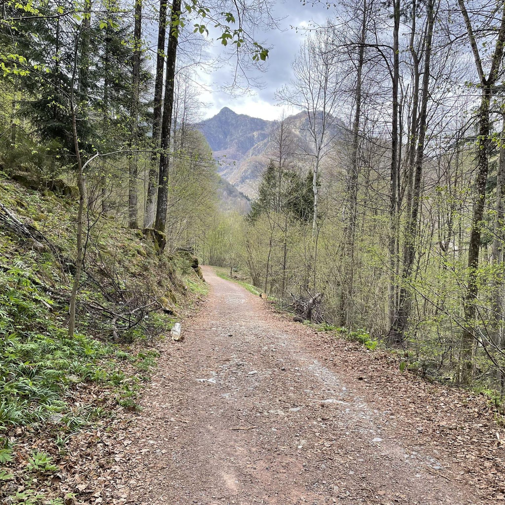
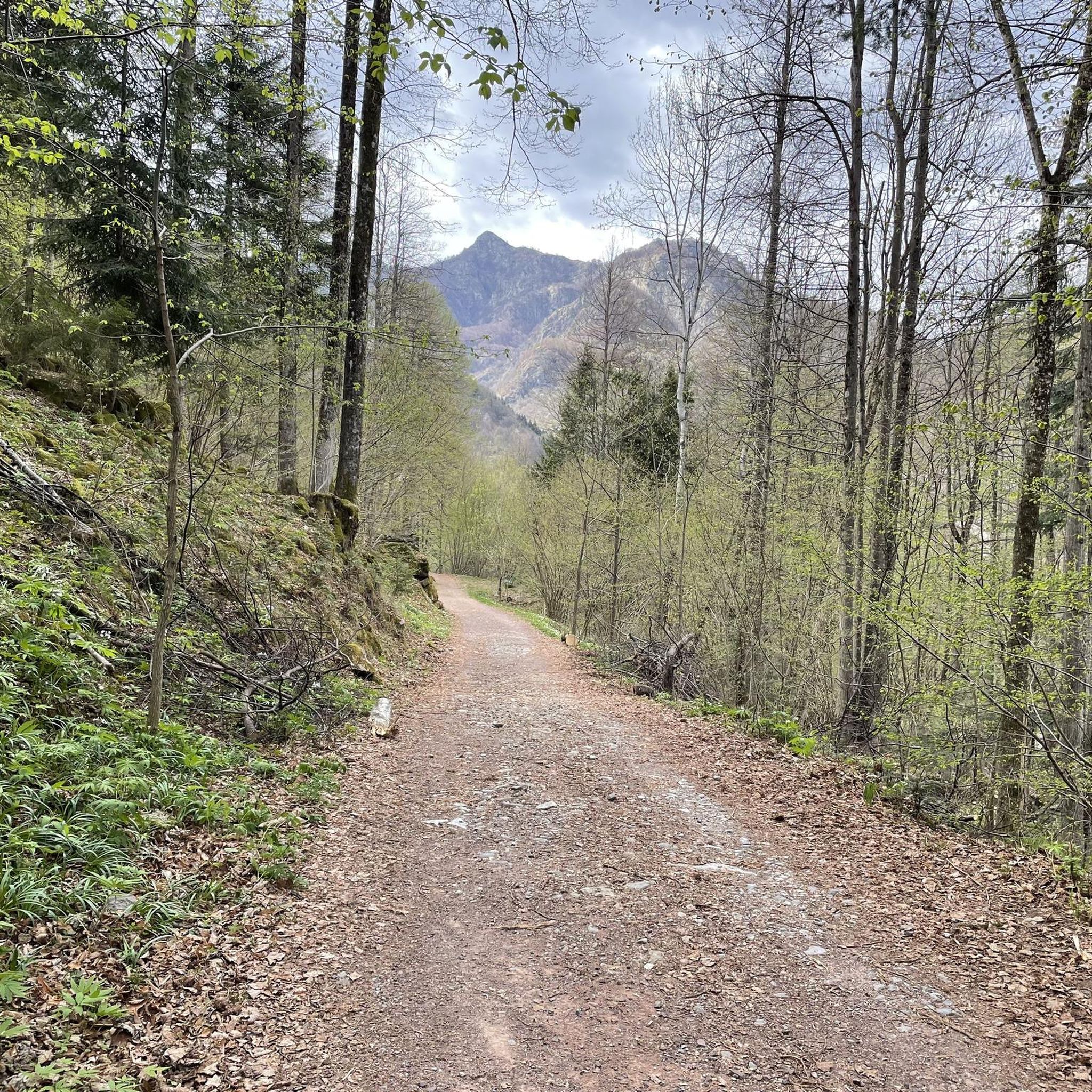
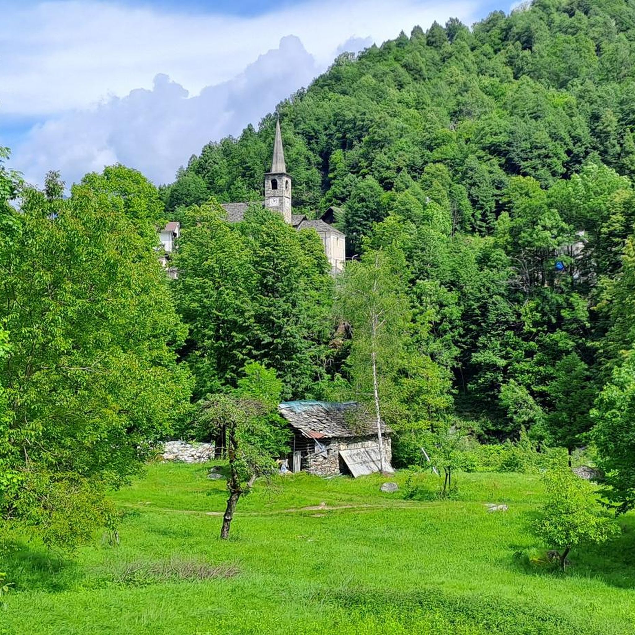
Tips from the Community

A 10 minute walk from the arrival of the lifts. Excellent view of Monte Rosa
0
0


Ancient oratory of this small uninhabited hamlet above Scopa. The area is very beautiful and can be explored even out of season.
0
0
Panoramic location with a view of the upper Valsesia.
1
0
Beautiful mountain pasture still maintained with a beautiful view of Valsesia.
0
0

From the Alpe the view extends over a vast area of Valsesia.
1
0
Ancient bridge built in stone and surrounded by nature. The bridge connects Scopello to Failungo di pila, with a careful eye you can see the toll booth for the collection of duties. To visit!
3
0
Accessible only on foot. Bike to. Hand.
3
0
Frequently Asked Questions
How many hiking trails are there in Pila?
Pila offers a vast network of over 200 hiking routes. These trails cater to all levels, with approximately 20 easy, 102 moderate, and 78 difficult options, ensuring a suitable path for every hiker.
What kind of views can I expect on hikes around Pila?
Hiking in Pila provides spectacular 360-degree views of some of the highest peaks in the Alps, including Mont Blanc, Grand Combin, the Matterhorn, and Monte Rosa. Many trails follow ridges or lead to viewpoints specifically designed to showcase these majestic alpine panoramas across the entire Aosta Valley.
Are there any family-friendly hiking options in Pila?
Yes, Pila has several easy walks suitable for families, including those with strollers. The presence of chairlifts and a gondola from Aosta also makes it easier to reach higher altitudes without strenuous climbing, opening up more accessible routes. For example, the area around Lake Chamolé is often a good starting point for family outings.
Can I bring my dog on the hiking trails in Pila?
Many trails in Pila are dog-friendly, allowing you to enjoy the alpine scenery with your canine companion. However, it's always recommended to keep dogs on a leash, especially in high-altitude pastures where livestock may be present, and to check specific trail regulations before you go.
What are some notable natural attractions or landmarks to see while hiking in Pila?
Pila is rich in natural beauty and interesting landmarks. You can visit the remarkable clear-water Lake Chamolé, surrounded by lush alpine meadows. Other points of interest include the Bocchetto Sessera Pass, the Summit of Monte Barone, and the scenic Panoramica Zegna viewpoint.
Are there any circular hiking routes in Pila?
Yes, Pila offers several rewarding circular routes. A popular option is the On the heights of Alpe Mera − loop tour, which explores the beautiful alpine pastures of Alpe Mera. Another challenging circular route is the Alpe Meggiana, Monte Bo and Lago del Pizzo − loop tour, offering diverse landscapes.
What is the best time of year to go hiking in Pila?
The best time for hiking in Pila is generally from late spring to early autumn (June to September) when the trails are clear of snow and the alpine flora is in full bloom. The weather is typically pleasant, offering ideal conditions for enjoying the panoramic views and diverse terrain. Some lower-altitude trails may be accessible earlier or later in the season.
What kind of wildlife might I encounter on the trails?
Pila's high-altitude pastures and diverse environments are home to various alpine wildlife. Lucky hikers might spot marmots, cows grazing peacefully, and even ibex. There's even a 'marmot trail' designed to offer insights into the local ecosystems.
Are there places to eat or stay along the hiking routes?
Yes, Pila's alpine pastures, such as Alpe Mera, Alpe Liautaysaz, and Alpe Grimondet, are not only picturesque but some also offer opportunities to learn about traditional alpine life and even provide local food tastings. Additionally, there are several huts and cabins in the region, like Piana del Ponte Hut and Rivetti Hut, which can serve as rest stops or overnight accommodation.
How accessible are the trails in Pila by public transport or car?
Pila is highly accessible. A gondola connects Pila directly to Aosta, making many trails easily reachable via public transport. For those traveling by car, there are parking facilities available in Pila, allowing convenient access to the extensive trail network.
What do other hikers enjoy most about Pila?
The hiking trails in Pila are highly rated by the komoot community, with an average score of 4.5 stars from over 1200 reviews. Hikers frequently praise the majestic alpine panoramas, the diverse terrain ranging from cool woods to high-altitude pastures, and the well-maintained paths that cater to all ability levels.
Are there any challenging hikes for experienced trekkers?
Absolutely. For experienced hikers, Pila offers demanding routes such as the ascent to Col de Tza Sèche, Becca di Nona (3,142 m), or even Mont Emilius (3,559 m), which includes a via ferrata. The 'Panorama Equipped Trail' also provides an exhilarating experience with exposed sections equipped with wires, steps, and handrails for safety.
Most popular attractions around Pila

Get inspired with the komoot mobile app


Explore more
Browse the best Hikes in other regions.
