The best mountain hikes around Arizzano
4.8
(78)
354
hikers
7
hikes
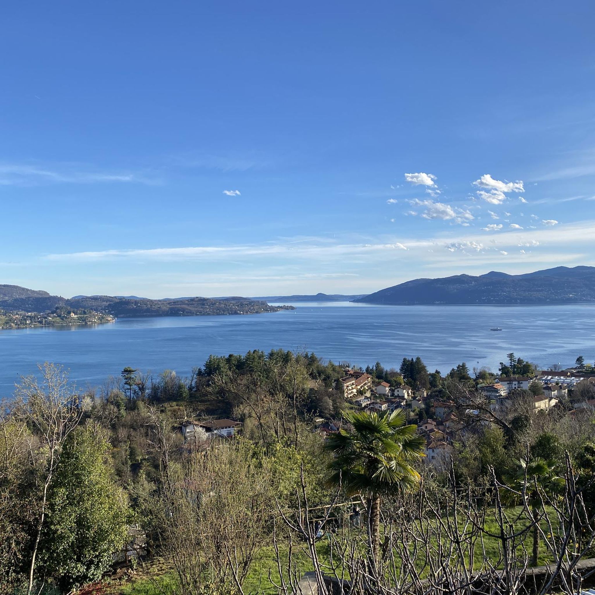
Mountaineering routes around Arizzano are set within Italy's Verbano-Cusio-Ossola province, a region characterized by its diverse and rugged natural beauty. The landscape features the expansive Lake Maggiore and the smaller Lago di Mergozzo, providing scenic backdrops to the mountainous terrain. The prominent Ossola Valley serves as a gateway to challenging alpine environments, including the majestic Monte Rosa Massif with peaks over 4,000 meters, and offers extensive opportunities for rock climbing and equipped mountain routes. The area combines high alpine pastures,…
Last updated: July 18, 2026
5.0
(4)
23
hikers
7.81km
03:56
610m
610m
Hard mountaineering route. Good fitness required. Sure-footedness, sturdy shoes and alpine experience required.
4.7
(6)
16
hikers
8.09km
04:40
720m
720m
Hard mountaineering route. Good fitness required. Sure-footedness, sturdy shoes and alpine experience required.

Sign up for free
7
hikers
Hard mountaineering route. Good fitness required. Sure-footedness, sturdy shoes and alpine experience required.
5.0
(2)
7
hikers
7.61km
03:24
560m
560m
Hard mountaineering route. Good fitness required. Sure-footedness, sturdy shoes and alpine experience required.
5.0
(1)
5
hikers
5.37km
01:40
180m
180m
Hard mountaineering route. Great for any fitness level. Sure-footedness, sturdy shoes and alpine experience required.
Get access to more routes and recommendations from other explorers.
Sign up for free
Already have an account?
Our route recommendations are based on thousands of hikes, rides, and runs completed by other people on komoot.
Start today with a free account
Your next adventure awaits.
Login or Signup
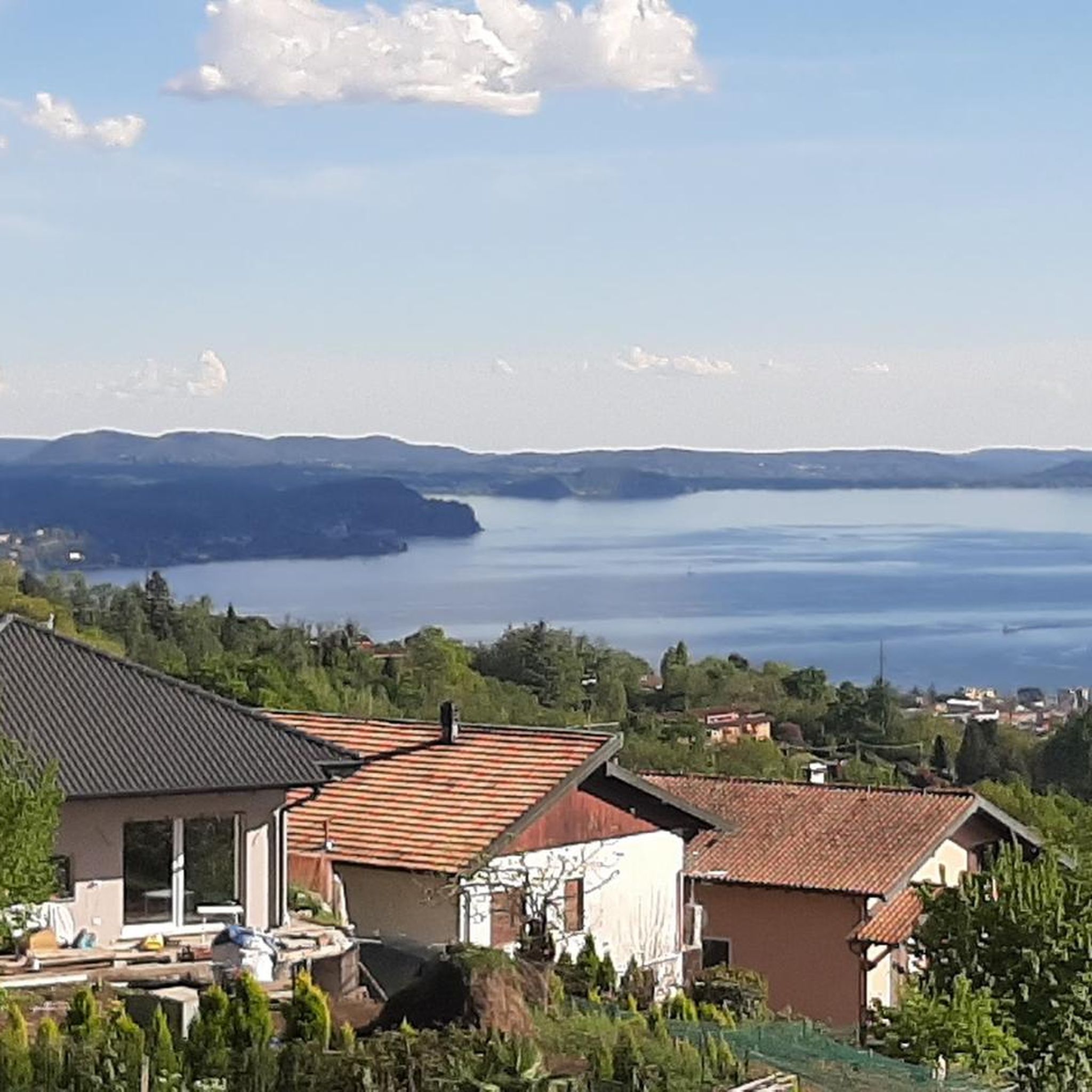
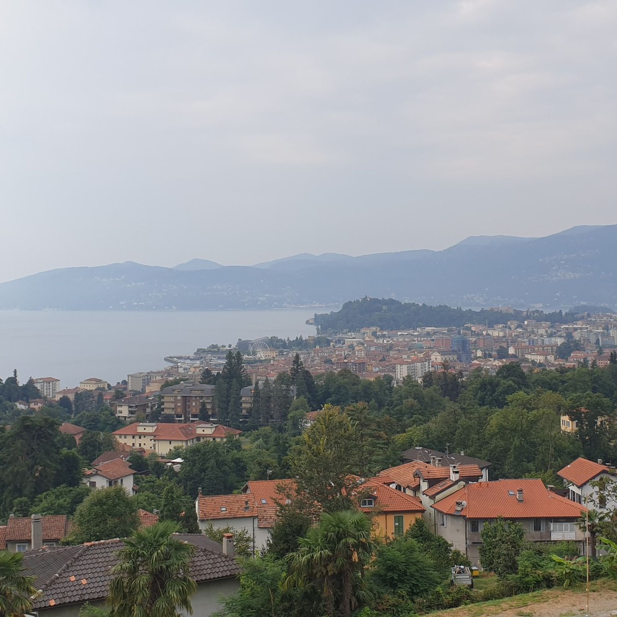
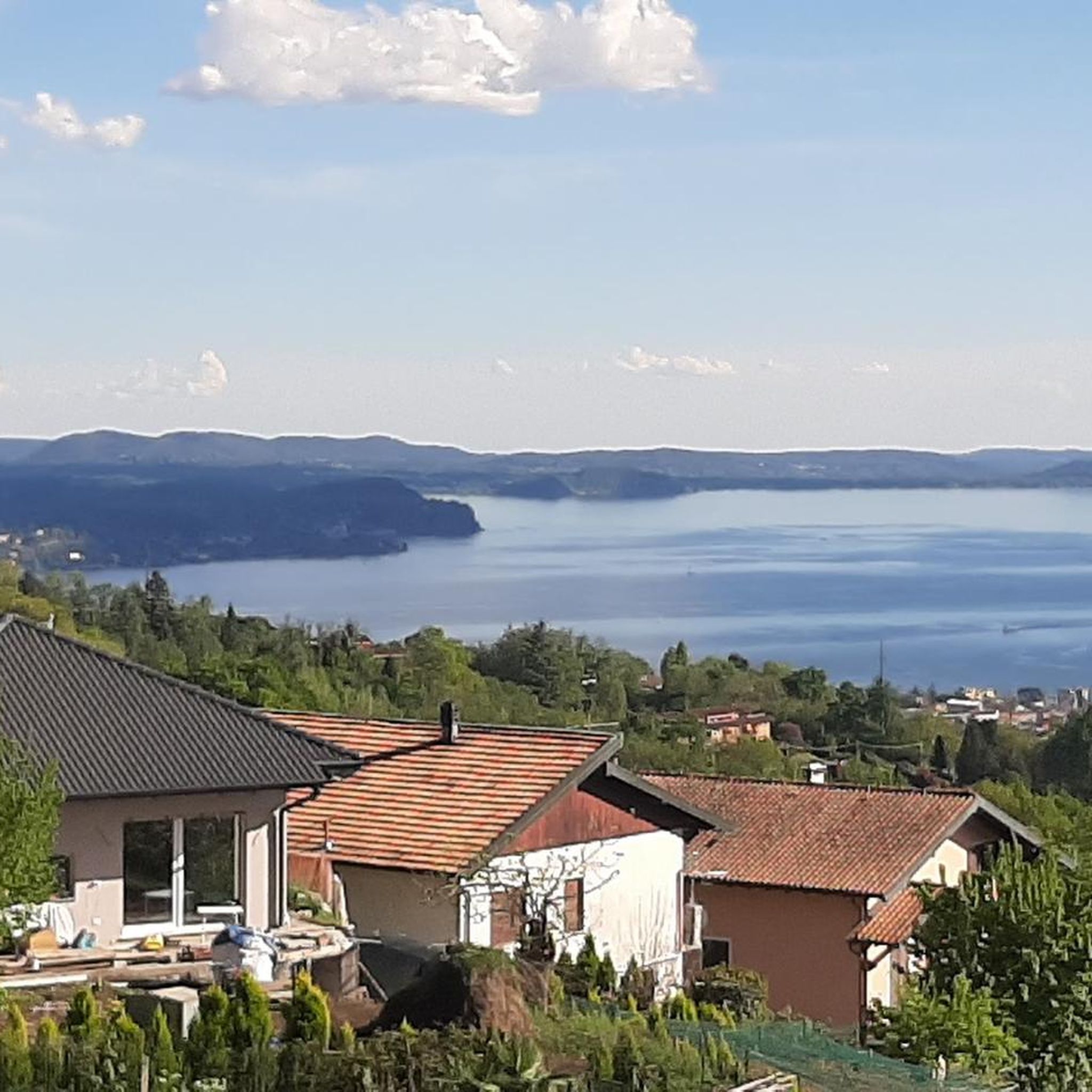
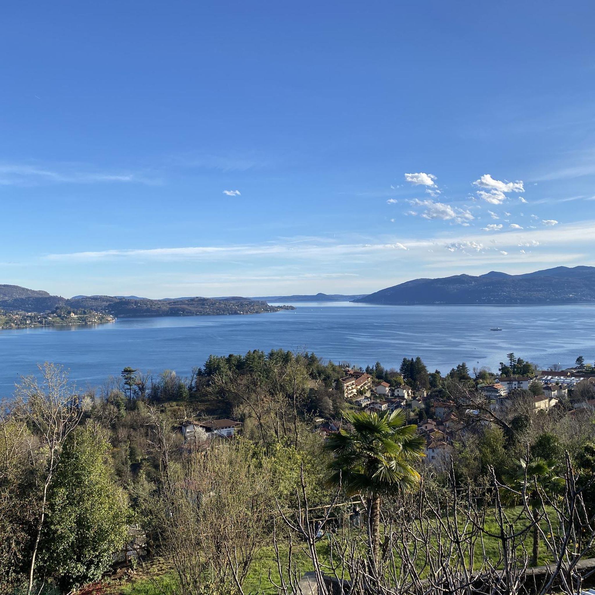

Tips from the Community


Small space equipped with signs on the history of stonemasons.
0
0

Getting to the top is exciting.
0
0
Very fun short exposed section
1
0

A beautiful panoramic viewpoint, also a great place to catch your breath on the trail leading to the summit from Montorfano. The trail isn't exactly easy, technically speaking.
0
0

Beautiful hike to the summit! Quite steep, but absolutely worth it!
2
0

The Little Cemetery of Montorfano
1
0

Frequently Asked Questions
How many mountaineering routes are available around Arizzano?
There are 9 distinct mountaineering routes around Arizzano, offering a range of experiences from moderate to difficult. The komoot community has highly rated these routes, with an average score of 4.7 stars.
Are there any moderate mountaineering routes suitable for those with some experience?
Yes, for those with some experience, the Pogallo Village – Strada Sutermeister Trail loop from Cicogna is a moderate 6.1-mile (9.8 km) path that winds through historic villages and forested areas. Another excellent moderate option is the Scenic viewpoint – View of Montorfano loop from Riserva Naturale del Fondo Toce, a 5.7-mile (9.2 km) trail leading to a beautiful viewpoint.
What are some challenging mountaineering routes for experienced climbers near Arizzano?
Experienced mountaineers seeking a challenge can explore routes like the Americans' Quarry loop from Baveno, a difficult 5.2-mile (8.4 km) trail with significant elevation gain and views over the quarry area. Another demanding option is the Lake Maggiore Cable Car – View from Sasso del Ferro loop from Laveno Mombello Lago, which offers stunning vistas and a substantial climb.
Are there any circular mountaineering routes in the Arizzano area?
Yes, several routes are designed as loops, allowing you to start and end in the same location. Examples include the Americans' Quarry loop from Baveno, the Pogallo Village – Strada Sutermeister Trail loop from Cicogna, and the Scenic viewpoint – View of Montorfano loop from Riserva Naturale del Fondo Toce.
What kind of views can I expect on mountaineering routes around Arizzano?
The region offers breathtaking panoramic views. Many routes provide vistas of the expansive Lake Maggiore and the smaller Lago di Mergozzo. From higher points like Mottarone, you can enjoy uninterrupted 360-degree views of seven lakes and the distant Alps, including the majestic Monte Rosa massif and Swiss peaks. The View of Montorfano loop from Verbania-Pallanza is a great option for scenic outlooks.
What is the best season for mountaineering in Arizzano?
The best time for mountaineering around Arizzano is generally from spring through autumn. During these seasons, the weather is more stable, and trails are typically free of snow, making for safer and more enjoyable ascents. The region's diverse landscapes, from alpine pastures to dense forests, are particularly vibrant during these months.
Are there any specific landmarks or points of interest along the mountaineering routes?
While the routes themselves offer natural beauty, the broader area around Arizzano is rich in points of interest. You can find ancient mule tracks and archaeological routes, such as those near the Sacro Monte of Ghiffa. For specific highlights in nearby areas, consider exploring the Cuvignone Pass or the Passo Folungo, which are mountain passes offering scenic views and historical significance.
Is it possible to reach mountaineering trailheads near Arizzano using public transport?
While Arizzano itself is a charming base, accessing some of the more remote mountaineering trailheads in the broader Ossola Valley might require a car. However, for routes closer to larger towns like Baveno or Verbania-Pallanza, public transport options such as buses or ferries connecting to train stations might be available. It's advisable to check local transport schedules for specific starting points.
Are there any permits required for mountaineering in the Arizzano area or the wider Piedmont region?
Generally, permits are not required for hiking or mountaineering on established trails in the Piedmont region, including the Arizzano area. However, for more advanced activities like guided rock climbing or ski mountaineering in specific protected areas within the Ossola Valley, it's always best to consult local authorities or certified mountain guides for any specific regulations or access requirements. You can find information on certified mountain guides in the Ossola Valley at visitossola.it.
What do other mountaineers enjoy most about the routes around Arizzano?
The area is highly rated by the komoot community, with an average score of 4.7 stars from over 70 reviews. Mountaineers often praise the diverse terrain, from forested paths to challenging alpine ascents, and the stunning views of Lake Maggiore and the surrounding mountains. The blend of natural beauty and opportunities for varied difficulty levels makes it a popular choice.
Are there opportunities for more advanced mountaineering activities like rock climbing or ski mountaineering in the wider region?
Absolutely. While Arizzano offers a great starting point for mountain hiking, the broader Verbano-Cusio-Ossola province, particularly the Ossola Valley, is a significant destination for advanced mountaineering. This includes extensive opportunities for rock climbing on peaks like Pizzo Crampiolo and Punta della Rossa, and renowned areas for ski mountaineering in places like Alpe Devero and Formazza Valley. You can find more information on ski mountaineering routes at visitossola.it.
Most popular attractions around Arizzano

Get inspired with the komoot mobile app


Explore more
Browse the best Mountain Hikes & Routes in other regions.
