The best walks and hikes around Santa Maria Maggiore
4.4
(263)
1,613
hikers
46
hikes
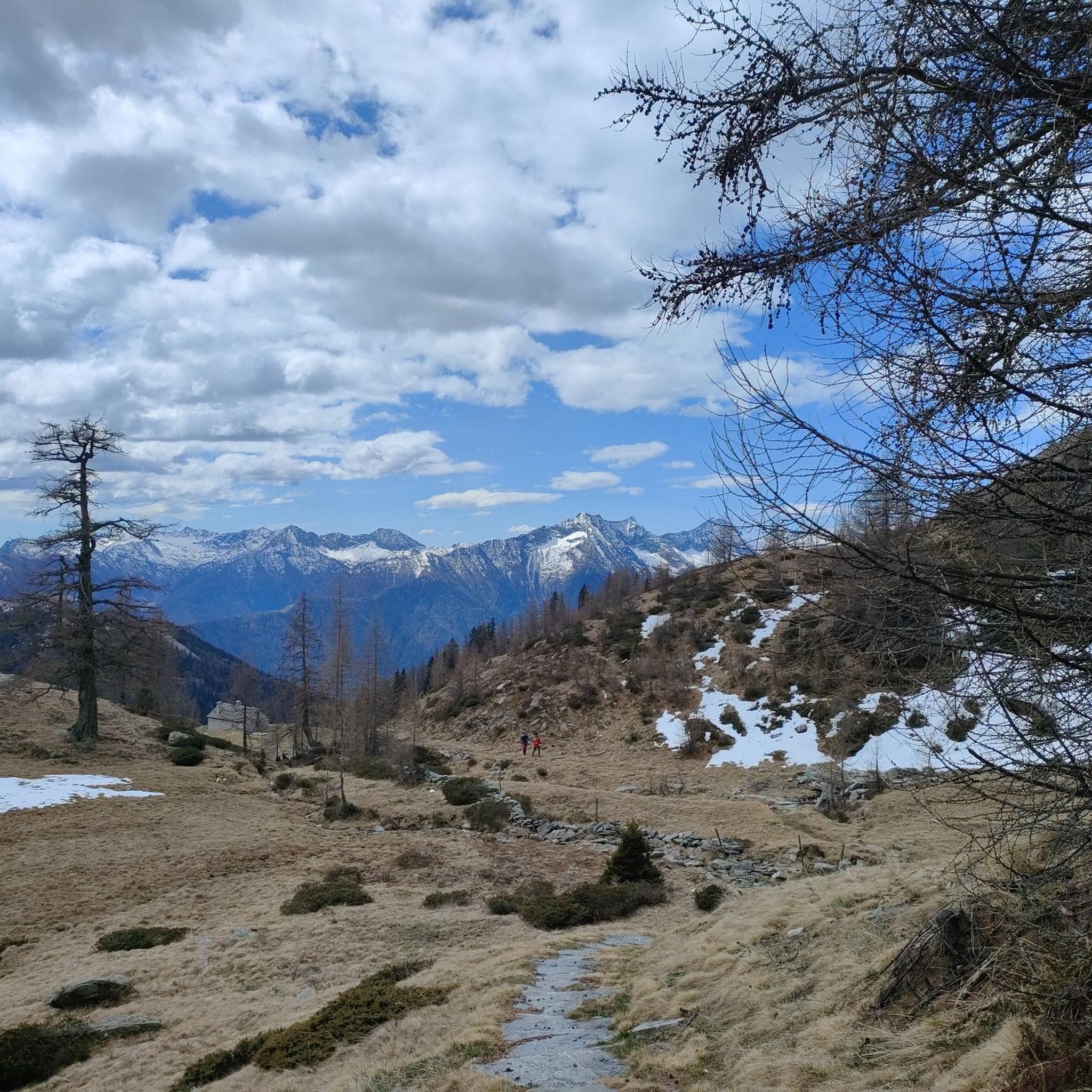
Hiking around Santa Maria Maggiore, nestled in Italy's Valle Vigezzo, offers diverse trails through alpine landscapes. The region is characterized by majestic Alps, lush forests, alpine meadows, and rugged ridgelines. Proximity to Val Grande National Park provides opportunities for immersive hikes, with numerous mountain peaks, serene lakes, and captivating waterfalls adding to the dramatic topography.
Best hiking trails around Santa Maria Maggiore
- The most popular hiking route is Pioda di Crana Summit Trail from Alpe Verzasca (M19), a 4.0 miles (6.4 km) trail that takes about 5 hours to complete. This difficult route offers ridge-top views across the Lepontine Alps.
- Another top favourite among local hikers is M23 Trail to Bocchetta di Muino, a moderate 4.2 miles (6.7 km) path. This trail leads through varied terrain, including sections with alpine meadows and forests.
- Local hikers also love the M30 trail to Pizzo Ragno via Highland Cattle pastures, a 5.6 miles (9.0 km) trail leading through highland cattle pastures, often completed in about 4 hours 55 minutes.
- Hiking around Santa Maria Maggiore is defined by alpine landscapes, lush forests, and rugged ridgelines. The extensive network of routes offers options for various ability levels, from leisurely walks to challenging mountain ascents.
- The routes in Santa Maria Maggiore are highly rated by the komoot community with an average score of 4.5 stars from over 200 reviews. More than 1000 hikers have used komoot to explore Santa Maria Maggiore's varied terrain.
Last updated: September 26, 2026
4.4
(9)
41
hikers
6.45km
05:01
1,060m
1,060m
Hard hike. Very good fitness required. Sure-footedness, sturdy shoes and alpine experience required.
4.4
(5)
25
hikers
14.5km
05:30
940m
940m
Hard hike. Very good fitness required. Sure-footedness, sturdy shoes and alpine experience required.

4.0
(1)
15
hikers
8.96km
04:55
950m
950m
Hard hike. Very good fitness required. Mostly accessible paths. Sure-footedness required.
3
hikers
6.72km
03:38
710m
710m
Moderate hike. Good fitness required. Mostly accessible paths. Sure-footedness required.
1
hikers
8.73km
05:33
990m
990m
Hard hike. Very good fitness required. Sure-footedness, sturdy shoes and alpine experience required.
Get access to more routes and recommendations from other explorers.
Already have an account?
Our route recommendations are based on thousands of hikes, rides, and runs completed by other people on komoot.
Start today with a free account
Your next adventure awaits.

Tips from the Community

From the start to the end of the trail, it takes about an hour and a half. As for gear, I recommend hiking boots and at least a liter of water, since there won't be any water sources available.
0
0

Dollar Val Grande National Trail
0
0

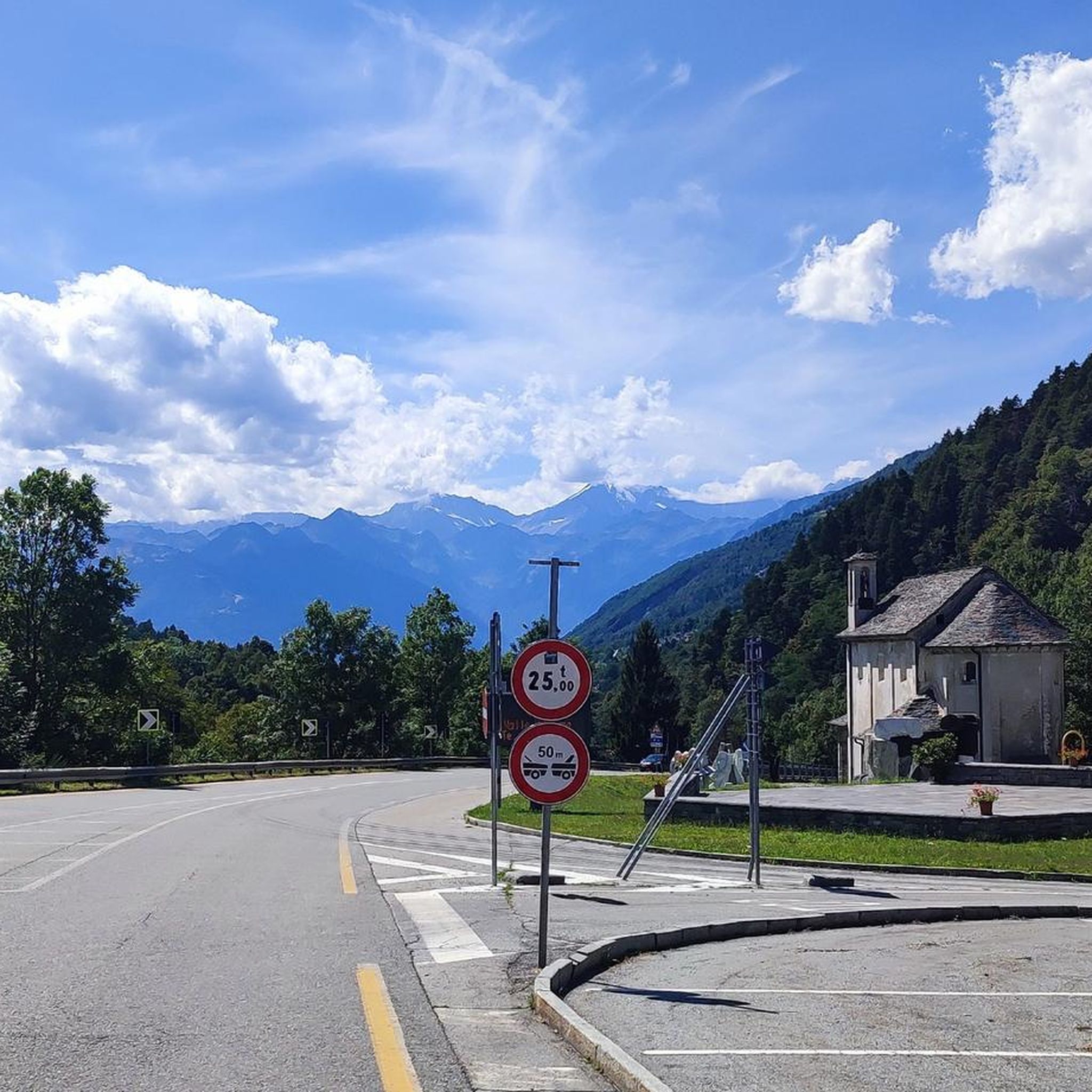
The mountains as always are magnificent and these have confirmed themselves
0
0

Here black and orange yaks graze as in the photo
0
0
beautiful lakes behind some rocks from which to take wonderful photos
0
0

Dangerous pass. Not recommended. Extremely surefooted. We came from Alpe Forgnone and had to climb the pass to the left of the original trail because the path is impassable due to scree.
0
0

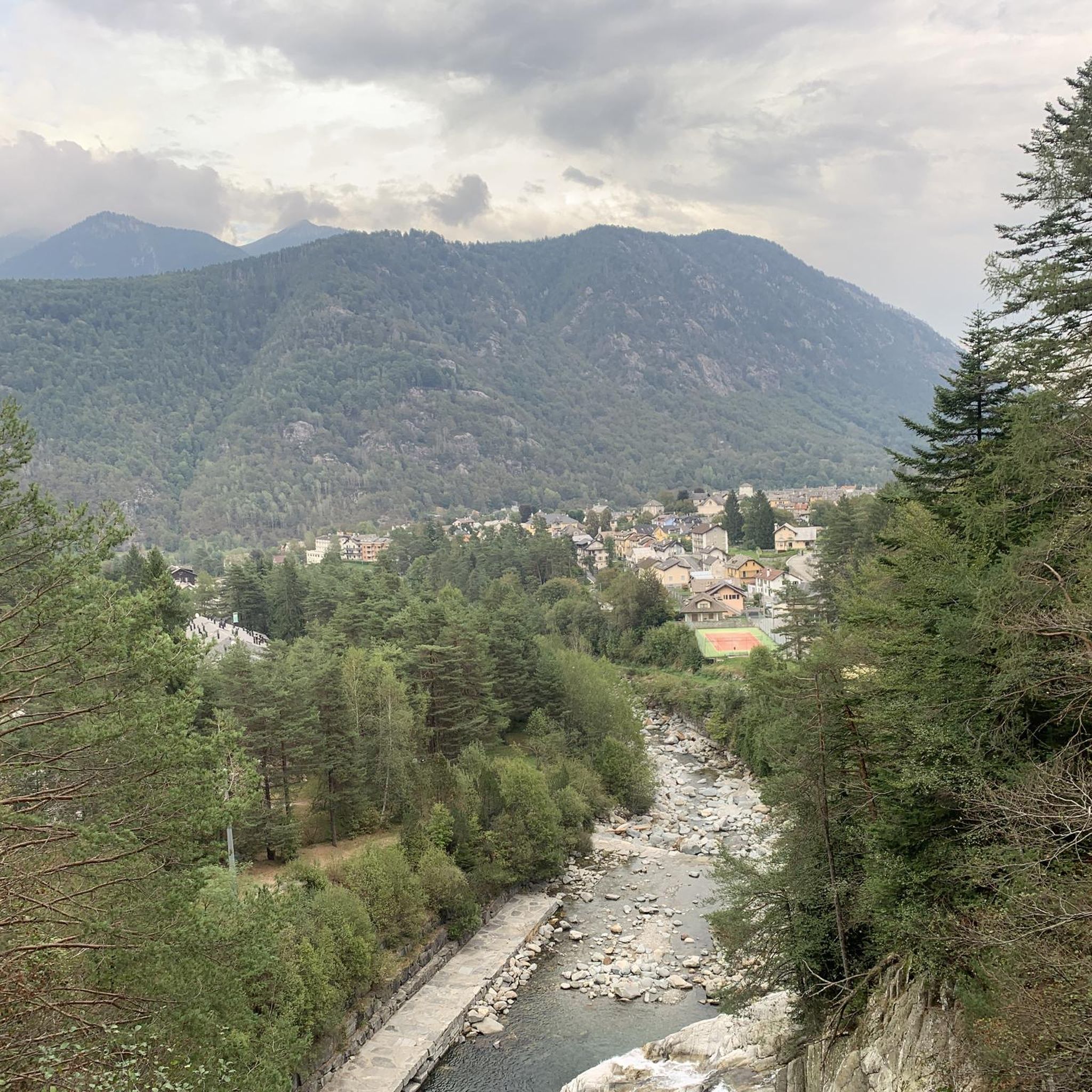
Leisure area in Santa Maria Maggiore (VB) at an altitude of 800m above sea level
0
0
Frequently Asked Questions
How many hiking trails are available around Santa Maria Maggiore?
There are over 45 hiking routes in the Santa Maria Maggiore area, catering to a wide range of abilities and preferences. These trails explore the diverse alpine landscapes of Valle Vigezzo.
Are there easy hiking trails suitable for beginners or families?
Yes, Santa Maria Maggiore offers a good selection of easy trails. With 18 routes classified as easy, you can find options like leisurely walks through alpine meadows. The region research mentions options such as the Monte di Dissimo trail or the Riale Loop, which are suitable for less strenuous activity.
What kind of natural features can I expect to see on hikes in Valle Vigezzo?
Hikes in Valle Vigezzo showcase magnificent alpine settings, including lush forests, alpine meadows, and rugged ridgelines. You'll encounter impressive mountain peaks like Pizzo Ragno and Pizzo Laurasca, serene lakes such as Lago Panelatte, and captivating waterfalls. The area also features canyons and mountain passes, adding to the dramatic topography.
Are there any challenging routes for experienced hikers?
Absolutely. For experienced hikers, there are 11 difficult routes available. One such challenging trail is the Pioda di Crana Summit Trail from Alpe Verzasca (M19), which offers ridge-top views across the Lepontine Alps. Other demanding options include the Pizzo Ragno trail or the Alpe Scaredi and Pizzo Laurasca trail.
What are some notable landmarks or attractions near the hiking trails?
The area around Santa Maria Maggiore is rich with natural and cultural landmarks. You can explore the Giant's Kettles of the Toce, the Uriezzo South Gorge, or visit the Stations of the Cross at Sacro Monte Calvario, Domodossola. For natural beauty, consider visiting Lago Panelatte or enjoying views from Monte Faiè.
Can I find circular hiking routes in Santa Maria Maggiore?
Yes, the trail network includes various circular routes. The region research mentions the Riale Loop as an easy, two-hour circular option. Many trails are designed to bring you back to your starting point or offer connections for loop variations.
What is the best time of year to go hiking in Santa Maria Maggiore?
The spring and autumn seasons are particularly beautiful for hiking in Santa Maria Maggiore. Spring brings blooming flowers, while autumn offers vibrant foliage, as seen on trails like the Alpe Cortino Trail. Summer is also popular for alpine hikes, and winter provides opportunities for snowshoeing.
Are there any trails that lead to mountain refuges?
Yes, you can hike to mountain refuges in the area. An example is the Historic mule path to Rifugio Al Cedo via Valle Vigezzo, which offers views of Centovalli. These refuges often provide a place to rest and enjoy the mountain environment.
What do other hikers say about the trails in Santa Maria Maggiore?
The hiking routes in Santa Maria Maggiore are highly rated by the komoot community, with an average score of 4.5 stars from over 200 reviews. Hikers often praise the diverse terrain, from alpine meadows to forests, and the stunning panoramic views of both Italy and Switzerland on clear days.
Are there any trails that pass through highland cattle pastures?
Yes, some trails offer the unique experience of passing through highland cattle pastures. One such route is the M30 trail to Pizzo Ragno via Highland Cattle pastures, which provides a distinctive pastoral landscape during your hike.
Is it possible to access hiking trails via public transport or cable car?
Yes, Santa Maria Maggiore offers good accessibility. Piana di Vigezzo, which serves as a gateway to several hiking trails, is accessible via funicular directly from Santa Maria Maggiore. This allows for convenient access to higher-altitude routes and panoramic views.
Most popular routes around Santa Maria Maggiore
Most popular attractions around Santa Maria Maggiore

Get inspired with the komoot mobile app


Explore more
Browse the best Hikes in other regions.
