The best road cycling routes around Montescheno
4.6
(284)
6,899
riders
66
rides
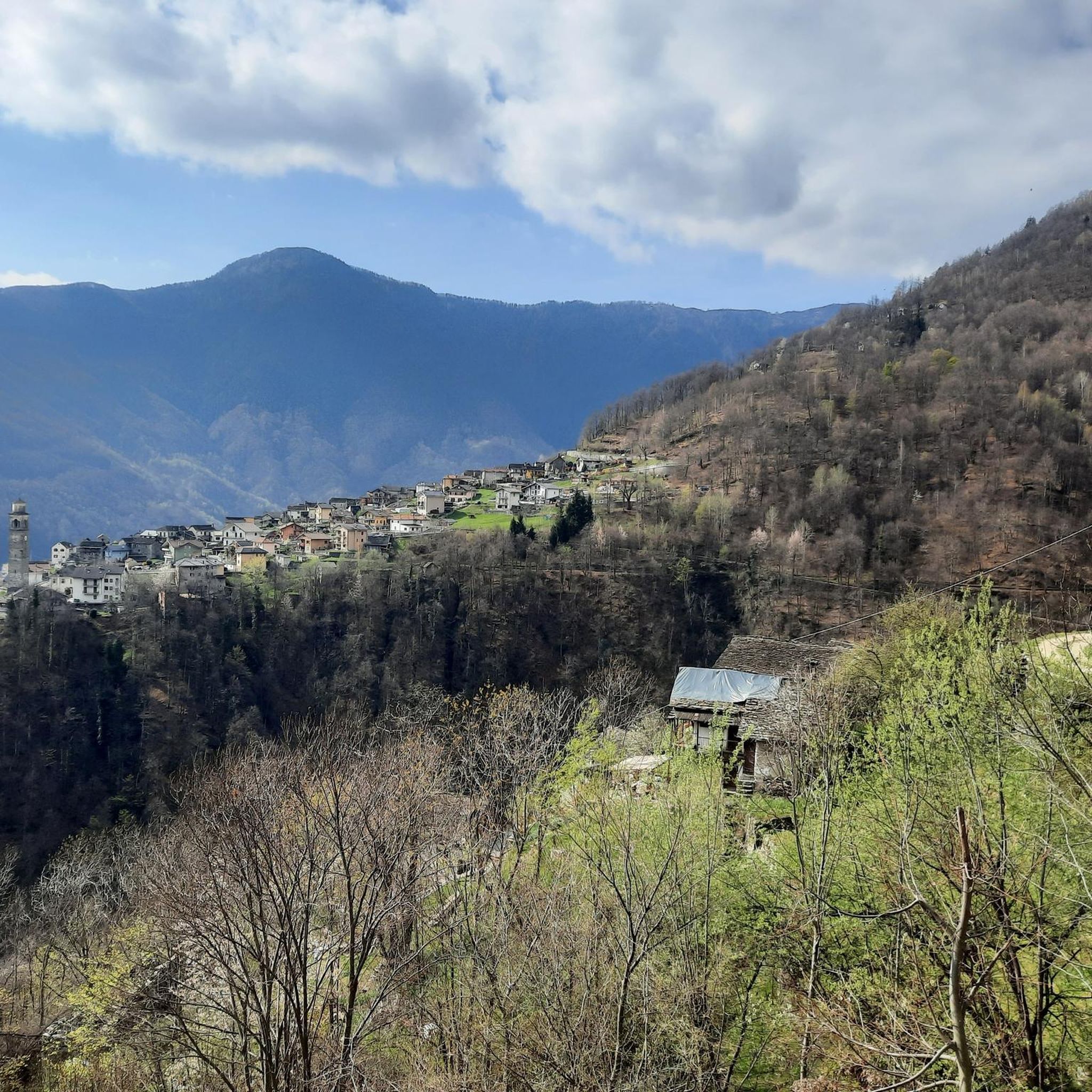
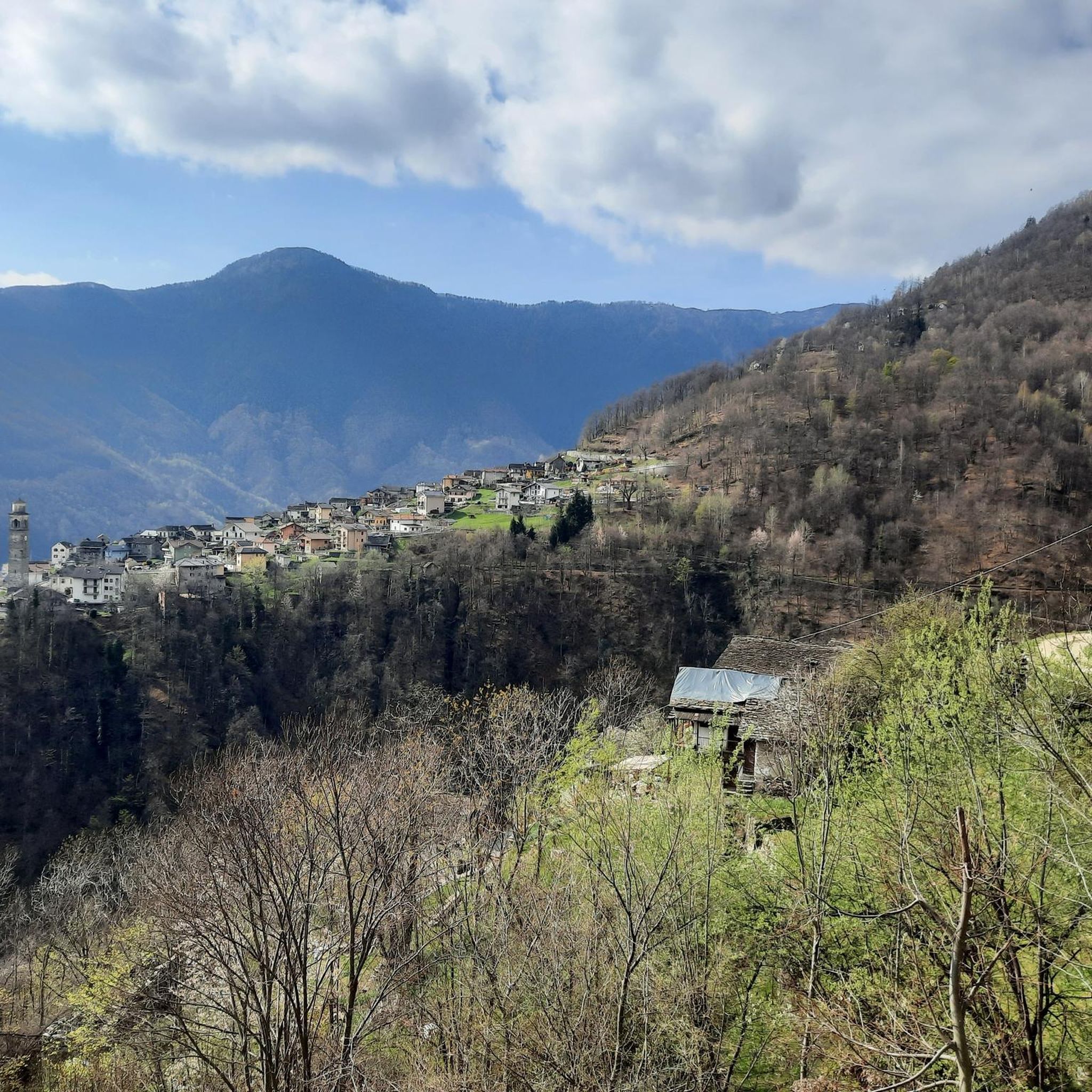
Road cycling routes around Montescheno are situated in Italy's Antrona Valley, part of the larger Ossola Valley, offering varied terrain for cyclists. The region features paved roads that traverse rural communities and connect traditional hamlets. Cyclists encounter varying elevations, from valley floors to higher alpine pastures, providing both challenging climbs and scenic stretches. The landscape includes natural features such as Lake of the Horses and Antrona Lake, alongside mountain peaks and several interconnected valleys.
Best road cycling routes around Montescheno
- The most popular road cycling route is Domodossola, Lago Maggiore e Valle Cannobina − loop tour, a 66.2 miles (106.6 km) trail that takes 4 hours 57 minutes to complete. This difficult route connects the Ossola Valley with Lake Maggiore and the Valle Cannobina.
- Another top favourite among local road cyclists is Toce River and Lake Mergozzo Loop from Domodossola, a moderate 44.9 miles (72.2 km) path. This route offers views of the Toce River and Lake Mergozzo, featuring a mix of valley and lakeside scenery.
- Local road cyclists also love the Val Formazza to Cascate del Toce, a 58.2 miles (93.6 km) trail leading through the Val Formazza to the Cascate del Toce waterfall, often completed in about 4 hours 58 minutes.
- Road cycling around Montescheno is defined by alpine valleys, traditional hamlets, and mountain passes, with routes offering options for different ability levels.
- The routes in Montescheno are highly rated by the komoot community with an average score of 4.7 stars from over 150 reviews. More than 4000 road cyclists have used komoot to explore Montescheno's varied terrain.
Last updated: August 15, 2026
4.4
(7)
74
riders
36.7km
02:17
1,000m
1,000m
The road cycling route from Villadossola to Lake Antrona presents a difficult challenge, covering 22.8 miles (36.7 km) with a significant 3294 feet (1004 metres) of elevation gain. This demanding ride, which takes around 2 hours and 17 minutes, winds through the Alta Valle Antrona Natural Park. You'll experience varied terrain, mostly paved, but be ready for some unpaved sections that might require you to push your racebike. The route immerses you in a high-mountain environment, with views of dense woodlands and towering peaks leading to the picturesque Lake Antrona.
This hard road ride demands very good fitness, so plan accordingly. While the surface is predominantly asphalt, be aware of approximately 744 meters of unpaved sections that contribute to the route's difficulty. If you are considering extending your ride, it's best to avoid the climb to Diga Campiccioli, as it is described as a very bumpy and dirty private road. The Cavalli Dam, however, offers a wider and more popular road for exploration.
Beyond the physical challenge, the route offers rich natural beauty and historical intrigue. Lake Antrona itself is a significant geological landmark, formed by a massive landslide in 1642. You might also encounter the ancient "Strada Antronesca," which historically connected the Ossola area with Switzerland. This trail serves as an entry point to the wild and celebrated Upper Antrona Valley, allowing you to appreciate the raw beauty of the Pennine Alps.
3.9
(15)
265
riders
44.5km
01:49
170m
170m
Moderate road ride. Great for any fitness level. Some segments of this route may be unpaved and difficult to ride.

Sign up for free
5.0
(3)
63
riders
29.0km
01:20
290m
290m
Easy road ride. Great for any fitness level. Mostly well-paved surfaces and easy to ride.
5.0
(6)
52
riders
39.5km
02:28
1,090m
1,090m
Hard road ride. Very good fitness required. Mostly well-paved surfaces and easy to ride.
80
riders
81.4km
04:48
1,820m
1,820m
Hard road ride. Very good fitness required. Some segments of this route may be unpaved and difficult to ride.
Get access to more routes and recommendations from other explorers.
Sign up for free
Already have an account?
Our route recommendations are based on thousands of hikes, rides, and runs completed by other people on komoot.
Start today with a free account
Your next adventure awaits.
Login or Signup


Tips from the Community


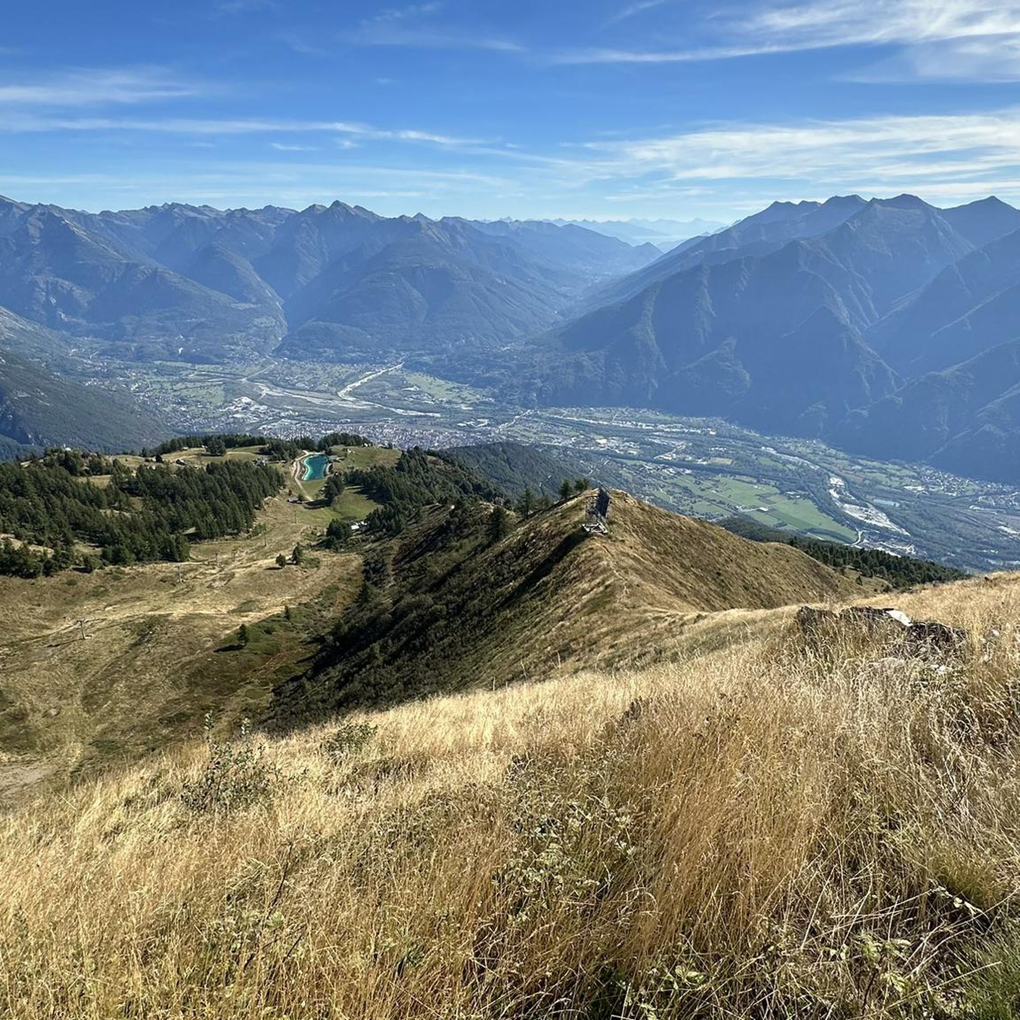
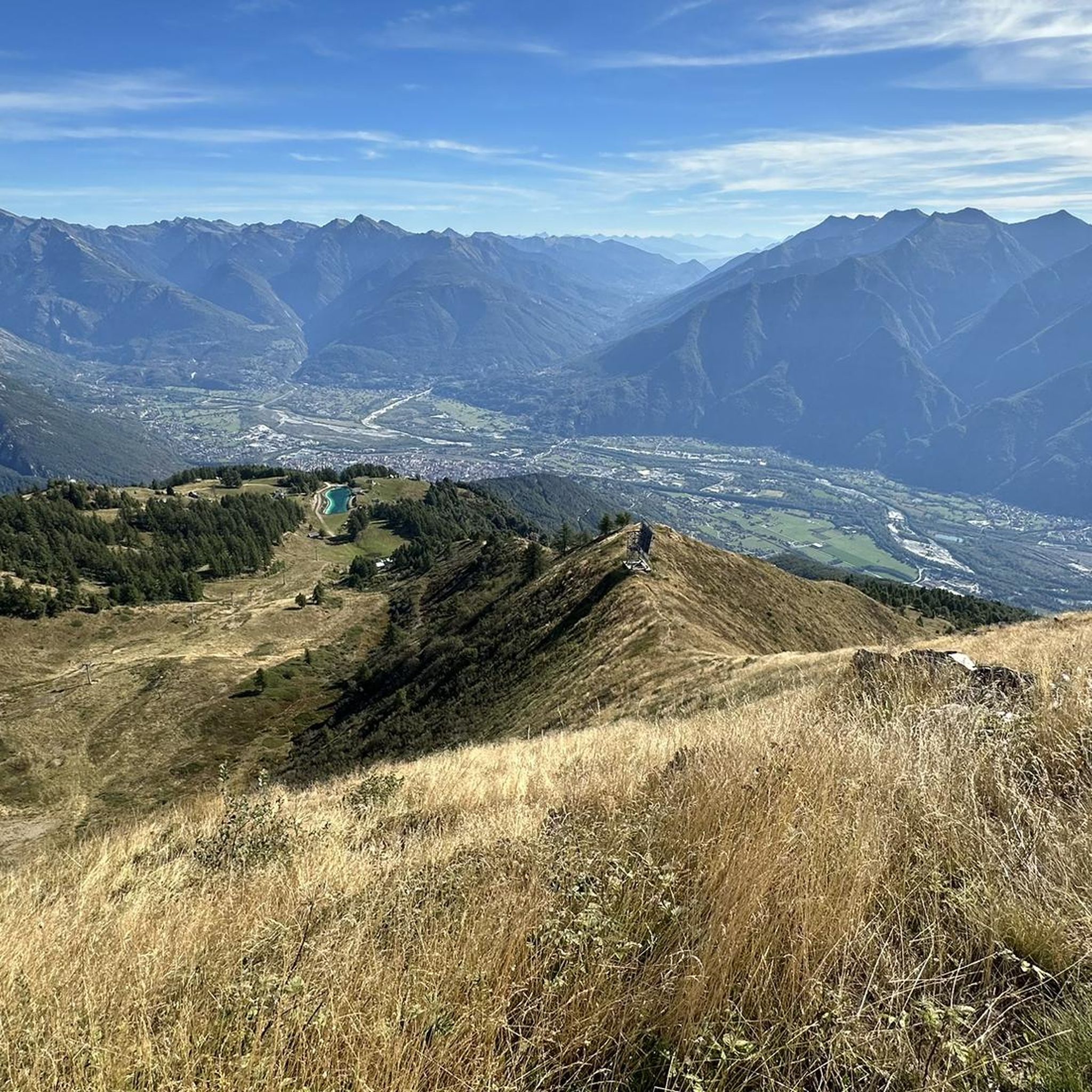
From this point you can see the beautiful mountains of the Ossola Valley.
0
0

The parish church of the Beata Vergine Assunta in Mergozzo was consecrated in 1610 and stands on the site of an earlier Romanesque church, as evidenced by a document dating back to 1133. The bell tower still retains its Romanesque style features in the lower part: it was built in 1661 and reached its current height of 38 meters. Outside, the church square, restored in 1786, is enclosed between two granite balustrades that border the wide staircase. The facade of the church is dominated by the statue of the Virgin Mary, flanked by two angels. Inside, the church has three naves divided by six serizzo columns, which support a sail vault with floral frescoes. In 1821, the thirteen chapels of the Stations of the Cross were built by Giovan Battista Ronchelli from Varese. Between 2002 and 2005, the structure was restored, revealing the 18th-century pastel shades of gray-light blue, okra, and light green that had been significantly altered in previous restorations.
2
0
Passage on the Toce River.
14
0

The church garden to the left of the portal is also worth a visit.
0
0


Sacred Mount Unesco heritage
0
1

from the top of Mount Calvario magnificent view of Domodossola and the valley floor
1
0
Frequently Asked Questions
How many road cycling routes are available around Montescheno?
There are over 45 road cycling routes around Montescheno, offering a wide range of options for different skill levels. These routes are highly rated by the komoot community, with an average score of 4.7 stars.
What kind of terrain and elevation can I expect on road cycling routes near Montescheno?
Road cycling routes around Montescheno feature varied terrain, from paved roads winding through rural communities and traditional hamlets to stretches with significant elevation changes. You'll encounter both demanding climbs into higher alpine pastures and picturesque valley floors. Routes can range from moderate, like the Toce River and Lake Mergozzo Loop from Domodossola with around 370 meters of ascent, to difficult, such as the Val Formazza to Cascate del Toce, which involves over 1800 meters of climbing.
Are there any family-friendly road cycling routes in the Montescheno area?
Yes, Montescheno offers several easier road cycling routes suitable for families. While the region is known for its varied elevations, there are 10 easy routes available. These typically follow valley floors or less strenuous paths, allowing families to enjoy the scenic beauty without overly challenging climbs. Always check the route details for specific difficulty ratings and elevation profiles to ensure it matches your family's capabilities.
What natural features and landmarks can I see along the road cycling routes?
The Montescheno area is rich in natural beauty and historical sites. Cyclists can enjoy views of scenic lakes like the Lake of the Horses (formed by the Cheggio Dam) and Antrona Lake. The Val Formazza to Cascate del Toce route leads to the impressive Cascate del Toce waterfall. You might also encounter the Sajont Waterfall. The region also features traditional alpine villages, historic community ovens, and the UNESCO World Heritage site of Sacro Monte Calvario in nearby Domodossola.
Are there any circular road cycling routes starting near Montescheno?
Yes, there are several excellent circular road cycling routes in the wider Montescheno area. For example, the Domodossola, Lago Maggiore e Valle Cannobina − loop tour offers a challenging ride connecting the Ossola Valley with Lake Maggiore. Another popular option is the Toce River and Lake Mergozzo Loop from Domodossola, which provides scenic views of the Toce River and Lake Mergozzo.
What is the best time of year for road cycling in Montescheno?
The best time for road cycling in Montescheno generally spans from spring through autumn. During these seasons, the weather is typically more favorable, with milder temperatures and less chance of snow at higher elevations. Summer offers warm conditions, while spring and autumn provide pleasant temperatures and vibrant landscapes. Always check local weather forecasts before heading out, especially when planning rides that involve higher alpine passes.
Are there options for parking my car when starting a road cycling route?
Yes, Montescheno and the surrounding towns in the Antrona and Ossola Valleys offer various parking facilities. While specific parking spots can vary by route starting point, you'll generally find designated parking areas in villages and near popular trailheads. It's advisable to check the starting point of your chosen route on komoot for specific parking recommendations.
Can I reach Montescheno and the surrounding areas by public transport with my bike?
Public transport options are available in the Antrona and Ossola Valleys, and some services may accommodate bikes. For detailed information on public transportation with bike carriage, especially for local routes, it's best to consult the regional transport providers. This can be particularly useful for reaching starting points or returning from longer, one-way rides.
What do other road cyclists enjoy most about road cycling in Montescheno?
The area is highly rated by the komoot community, with an average score of 4.7 stars from over 150 reviews. Road cyclists frequently praise the diverse landscapes, which include both challenging alpine climbs and picturesque valley routes. The blend of natural features like lakes and waterfalls, combined with the charm of traditional hamlets and historical sites, makes for a highly engaging cycling experience.
Are there any specific cultural or historical routes for road cyclists?
Yes, the region offers routes that delve into its rich cultural past. For instance, the 'Montescheno Rye Fields' route provides insight into the area's agricultural heritage, showcasing terraced fields, old mills, and historic community ovens. Cycling through hamlets like Valleggia and Barboniga also offers a glimpse into traditional rural life, adding a cultural dimension to your ride.
Where can I find accommodation or places to eat that are cyclist-friendly?
Montescheno and the broader Antrona Valley offer various accommodation options, including hotels and guesthouses, some of which are cyclist-friendly. You'll also find local cafes, pubs, and restaurants in the villages where you can refuel. Domodossola, as a central town in the Ossola Valley, provides a wider selection of services for cyclists, including places to stay and eat.
Are there any routes that lead to significant mountain passes?
Montescheno's location in the Ossola Valley positions it as a gateway to several other valleys, including Bognanco, Divedro, Antigorio-Formazza, Isorno, and Vigezzo. Road connections lead to the Simplon Pass, offering cyclists extensive options for longer tours and more challenging ascents through diverse mountain scenery. These routes provide opportunities to tackle significant climbs and experience dramatic alpine views.
Most popular routes around Montescheno
Most popular attractions around Montescheno

Get inspired with the komoot mobile app


Explore more
Browse the best Road cycling routes in other regions.
