The best road cycling routes around Denice
4.3
(53)
910
riders
67
rides
Road cycling routes around Denice are characterized by a hilly landscape, featuring ascents and descents through rural areas. The terrain includes winding roads connecting small towns and villages, with notable elevation changes. This region offers varied topography suitable for road cycling, with routes often traversing valleys and hillsides.
Best road cycling routes around Denice
- The most popular road cycling route is Roccaverano – Cortemilia loop from Mombaldone-Roccaverano, a 36.1 miles (58.2 km) trail that takes 3 hours 47 minutes…
Last updated: October 5, 2026
5.0
(2)
16
riders
28.4km
01:43
720m
720m
Moderate road ride. Good fitness required. Mostly well-paved surfaces and easy to ride.
15
riders
44.2km
02:30
950m
950m
Hard road ride. Very good fitness required. Mostly well-paved surfaces and easy to ride.

5.0
(1)
12
riders
33.6km
01:48
660m
660m
Moderate road ride. Good fitness required. Mostly well-paved surfaces and easy to ride.
5.0
(1)
14
riders
53.5km
02:58
1,140m
1,140m
Hard road ride. Very good fitness required. Mostly well-paved surfaces and easy to ride.
10
riders
39.6km
02:15
820m
820m
Moderate road ride. Good fitness required. Mostly well-paved surfaces and easy to ride.
Get access to more routes and recommendations from other explorers.
Already have an account?
Our route recommendations are based on thousands of hikes, rides, and runs completed by other people on komoot.
Start today with a free account
Your next adventure awaits.

Tips from the Community


Roccaverano is a charming and authentic Italian municipality located in the province of Asti, in Piedmont. At about 800 meters above sea level, it stands on the hill that divides the Bormida valleys and is the highest inhabited center in the entire Asti region. This picturesque medieval village is internationally famous for two main reasons: its rich historical heritage and the production of the renowned Robiola di Roccaverano DOP
0
0
Panoramic viewpoint
5
0
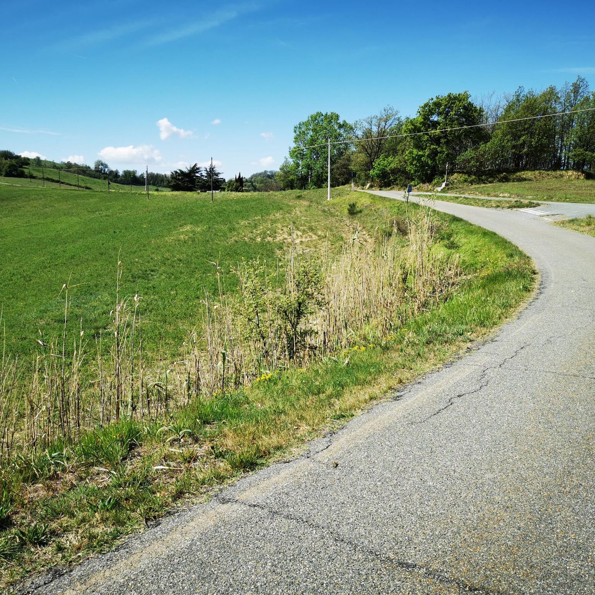
Beautiful climb with asphalt in good condition.
9
0

Serole is an Italian municipality of 97 inhabitants[1] in the province of Asti in Piedmont. It is located in the Langhe on the watershed between Bormida di Spigno and Bormida di Millesimo near the Rio Rigosio. It is the southernmost municipality in the province of Asti.
0
0
Fountain with a great view.
18
0

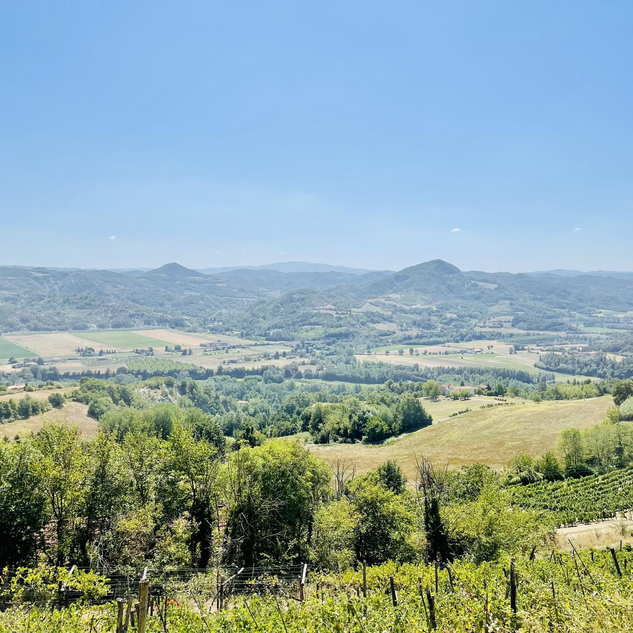
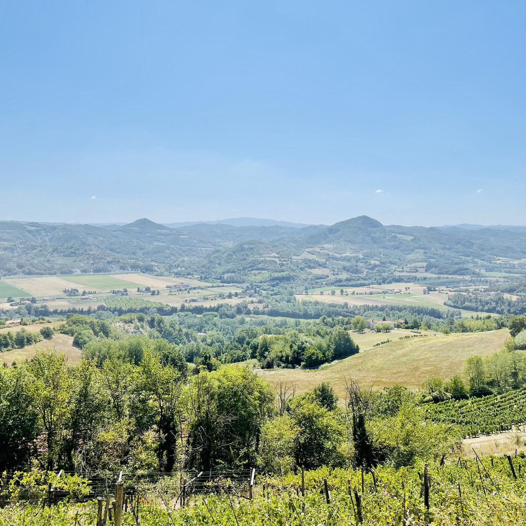
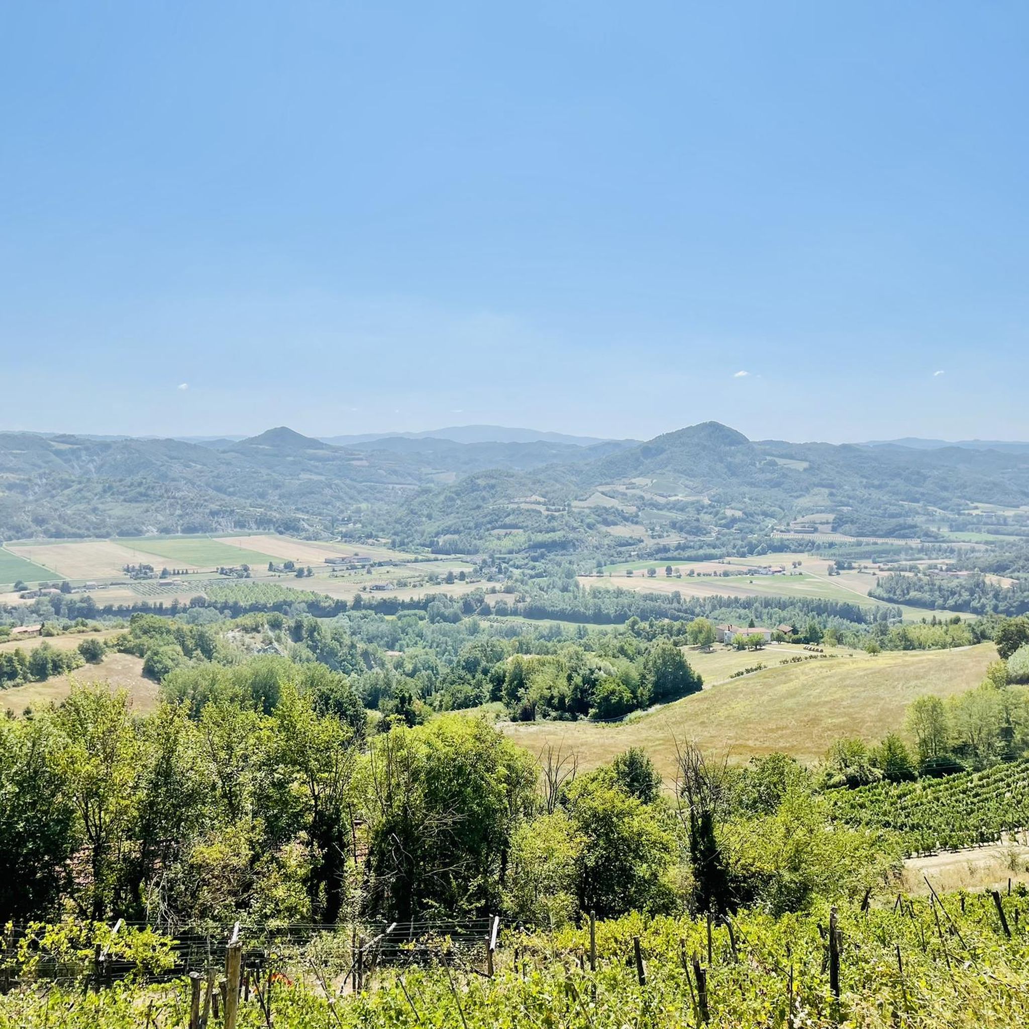
Roccaverano is one of the highest elevations in the area, from the town you can enjoy a 360° panorama of both the surrounding hills and the mountains of the Alpine arc (guaranteed view, in good weather, from Monte Rosa to the Maritime Alps!) The road that goes up from Vesime is quite regular, with gradients that almost never exceed 9%, furthermore I found it pleasantly free of traffic (I went up on a Saturday) The central square is very beautiful, dominated by the remains of the castle and the eighteenth-century church, the bar/restaurant is also strategic, perfect for a beer or a snack. An ideal place for a stop, before taking the road back.
1
0

Charming historic village. Places of interest include the parish church of Sant'Ambrogio and the 13th-century medieval bridge, still intact. The FFSS train station is about three kilometers from the center.
0
0
Frequently Asked Questions
How many road cycling routes are available in Denice?
There are over 85 road cycling routes around Denice, offering a wide range of options for different skill levels and preferences.
What is the typical terrain like for road cycling in Denice?
Road cycling routes around Denice are characterized by a hilly landscape, featuring ascents and descents through rural areas. The terrain includes winding roads connecting small towns and villages, with notable elevation changes, often traversing valleys and hillsides.
What are the difficulty levels of road cycling routes in Denice?
Denice offers a variety of routes, with 1 easy route, 41 moderate routes, and 45 difficult routes. This ensures options for cyclists of all experience levels, from those seeking a gentle ride to those looking for a challenging climb.
Are there options for longer road cycling tours in Denice?
Yes, Denice features several longer routes. For example, the Roccaverano – Cortemilia loop from Mombaldone-Roccaverano is a challenging 36.1-mile (58.2 km) trail with significant elevation gain, typically taking almost 4 hours to complete.
Can beginners find suitable road cycling routes in Denice?
While many routes feature hilly terrain, there is at least one easy route available, and 41 moderate routes that could be suitable for beginners looking for a bit of a challenge. These routes often involve less extreme elevation changes compared to the difficult options.
What interesting landmarks or sights can I see while road cycling in Denice?
Along the routes, you can explore various points of interest. The Ascent towards Denice – Vengore Tower loop from Ponti passes by the historic Vengore Tower. Other notable attractions in the wider area include the settlements of Monastero Bormida and Roccaverano, as well as natural features like The Murion Rock Formations.
Are there any routes that offer scenic viewpoints in Denice?
Many routes in Denice traverse hillsides and offer views of the surrounding rural landscape. The Ascent towards Denice – Vengore Tower loop from Ponti, for instance, provides scenic vistas as it climbs towards Denice and passes the Vengore Tower.
What do other cyclists say about road cycling in Denice?
The road cycling routes in Denice are highly rated by the komoot community, with an average score of 4.36 stars from over 44 reviews. More than 1000 road cyclists have used komoot to explore Denice's varied terrain, often praising the rolling hills and connections between small villages.
Are there any challenging road cycling routes for experienced riders in Denice?
Absolutely. Denice is well-suited for experienced riders, with 45 routes classified as difficult. A prime example is the Spigno Monferrato – Four Provinces loop from Mombaldone-Roccaverano, which covers 27.5 miles (44.2 km) with nearly 1000 meters of elevation gain.
Can I find routes that connect different towns or villages in Denice?
Yes, the road cycling network in Denice is characterized by winding roads that connect small towns and villages. Routes like the Cortemilia - Serole – Ascent to Serole from Spigno loop from Mombaldone-Roccaverano are excellent examples of tours that link multiple settlements and offer a glimpse into the regional character.
Are there any circular road cycling routes in Denice?
Many of the road cycling routes in Denice are designed as loops, allowing you to start and end your ride in the same location. Examples include the Roccaverano – Tower of Roccaverano loop from Mombaldone-Roccaverano and the Roccaverano – Cortemilia loop from Mombaldone-Roccaverano.
Most popular attractions around Denice

Get inspired with the komoot mobile app


Explore more
Browse the best Road cycling routes in other regions.
