The best walks and hikes around Witten
4.5
(7508)
26,243
hikers
457
hikes
Hiking around Witten offers diverse landscapes, with the town situated along the Ruhr River amidst green hills, forests, and agricultural areas. The region is characterized by the scenic Ruhr Valley, the elevated terrain of the Ardey Mountains, and significant water bodies like Kemnader See. These natural features provide a variety of terrains suitable for different hiking experiences. The Muttental Valley also adds historical context with its mining heritage.
Best hiking trails around Witten
- The most popular hiking route is Bergbauwanderweg…
Last updated: August 9, 2026
4.7
(386)
1,103
hikers
13.5km
03:48
290m
290m
Moderate hike. Good fitness required. Easily-accessible paths. Suitable for all skill levels.
4.6
(217)
623
hikers
5.59km
01:34
110m
100m
Easy hike. Great for any fitness level. Easily-accessible paths. Suitable for all skill levels.

Sign up for free
4.8
(1289)
3,607
hikers
12.3km
03:19
160m
160m
Moderate hike. Good fitness required. Easily-accessible paths. Suitable for all skill levels.
4.7
(362)
1,089
hikers
Hard hike. Good fitness required. Sure-footedness, sturdy shoes and alpine experience required.
4.8
(230)
670
hikers
Moderate hike. Good fitness required. Easily-accessible paths. Suitable for all skill levels.
Get access to more routes and recommendations from other explorers.
Sign up for free
Already have an account?
Our route recommendations are based on thousands of hikes, rides, and runs completed by other people on komoot.
Start today with a free account
Your next adventure awaits.
Login or Signup
Popular around Witten
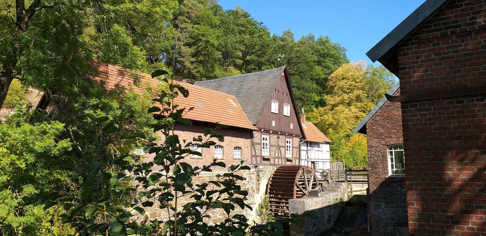
Hike through history in Germany’s Ruhr area – WestfalenWanderWeg
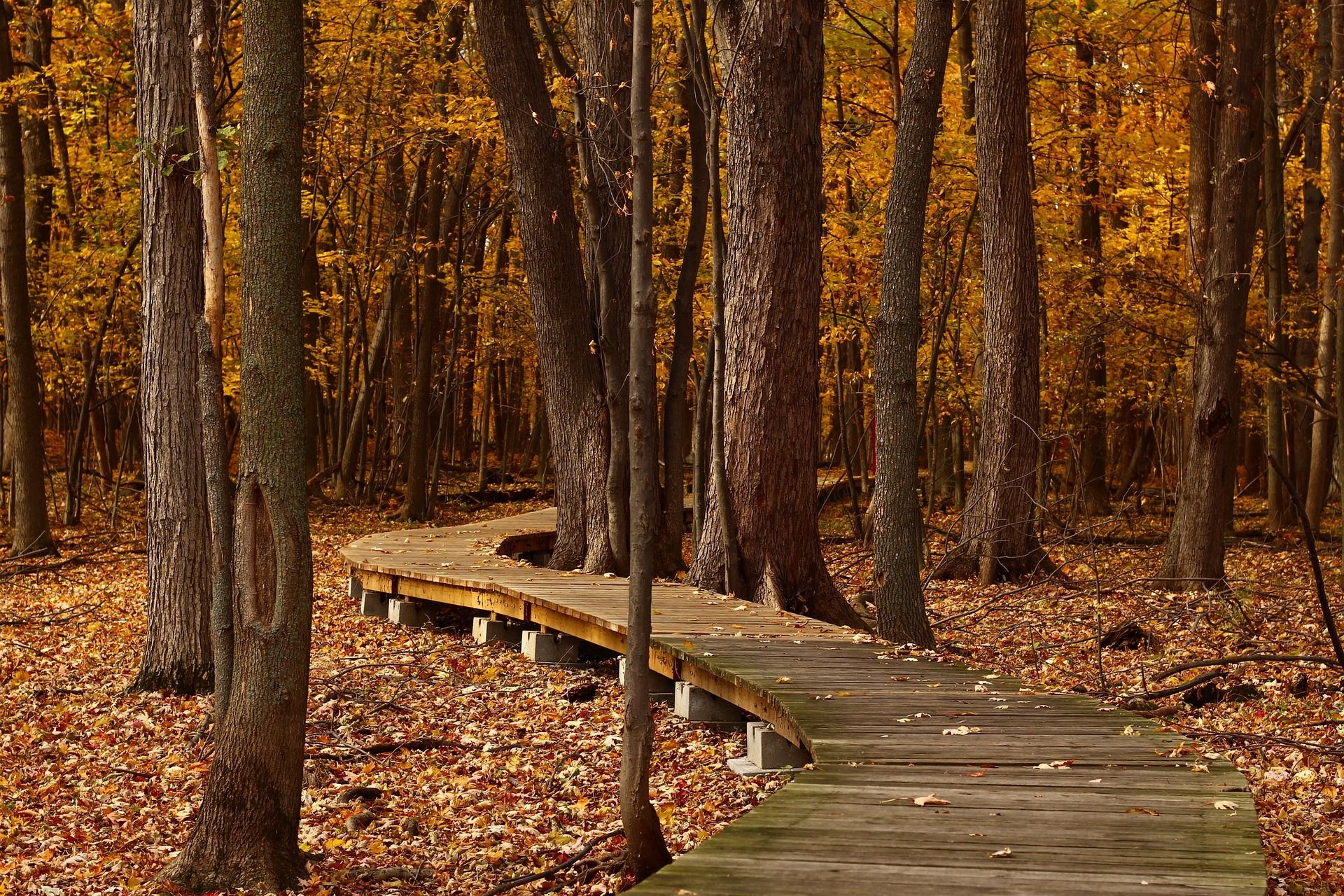
Top Hikes in Autumn - Ruhr Area and around Düsseldorf

Trail fun from Duisburg to Dortmund – Ruhrpott Cross 2.0
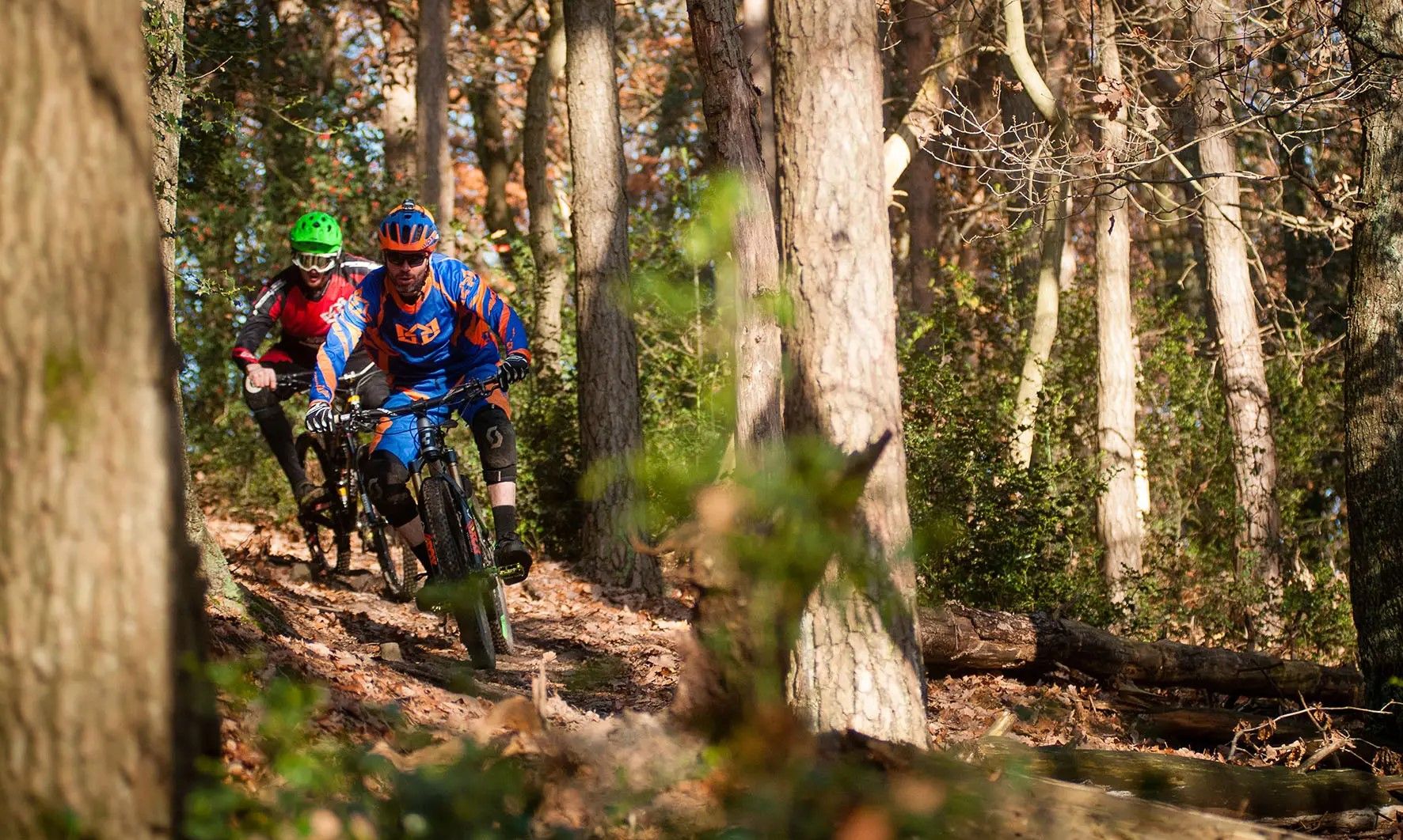
Ruhrpott After-Work Express - challenging after-work loops
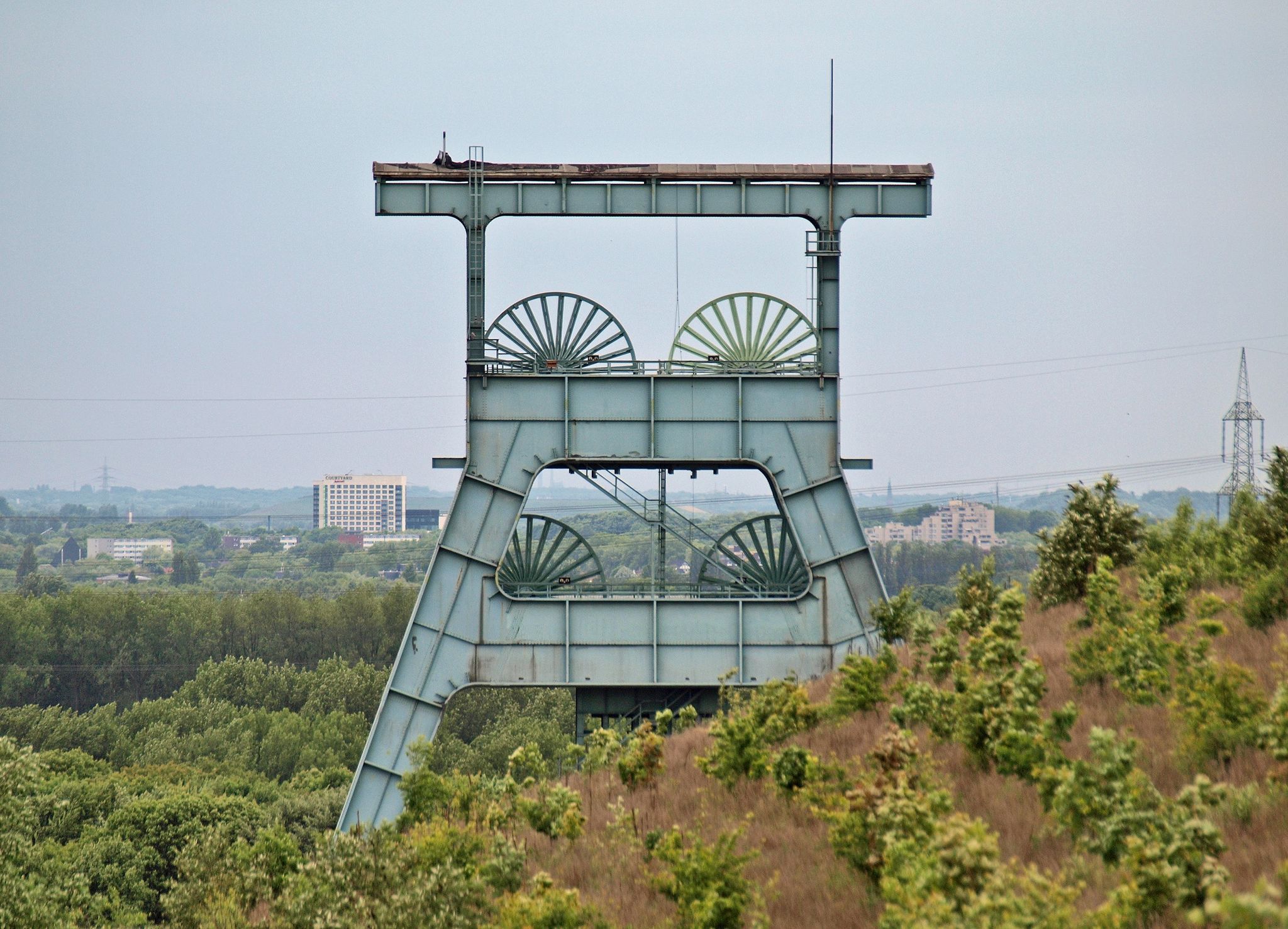
Chasing the flow on coal mines
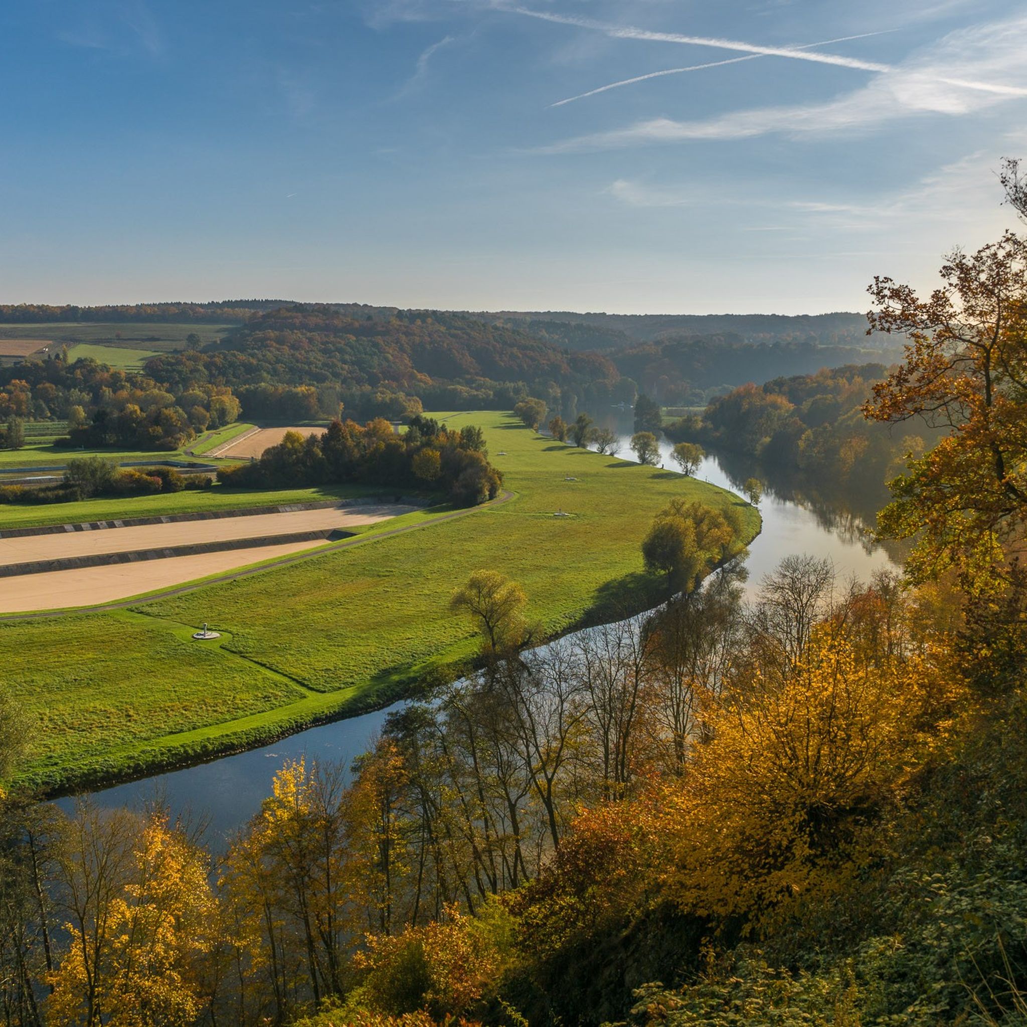
Cycling around Witten
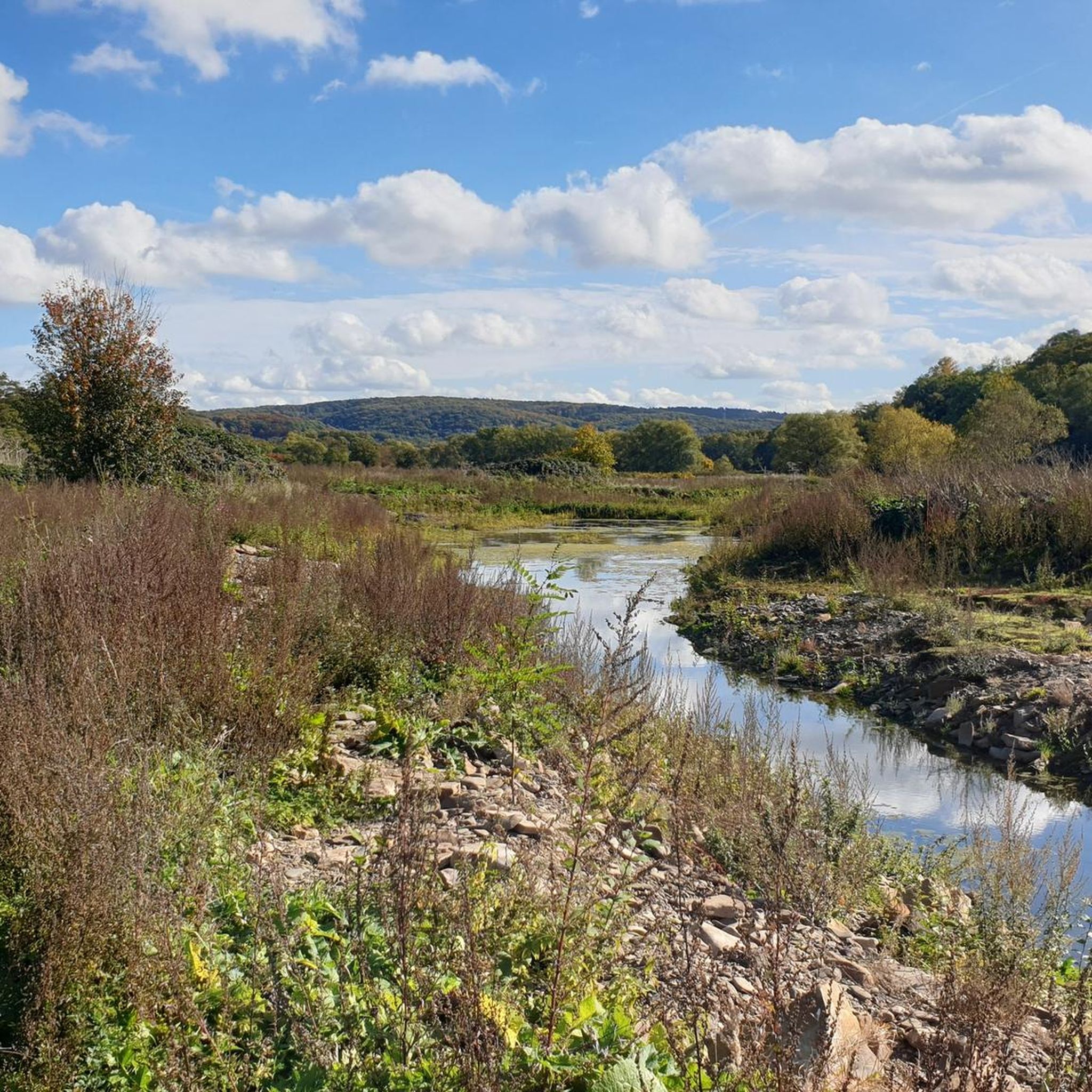
Running Trails around Witten
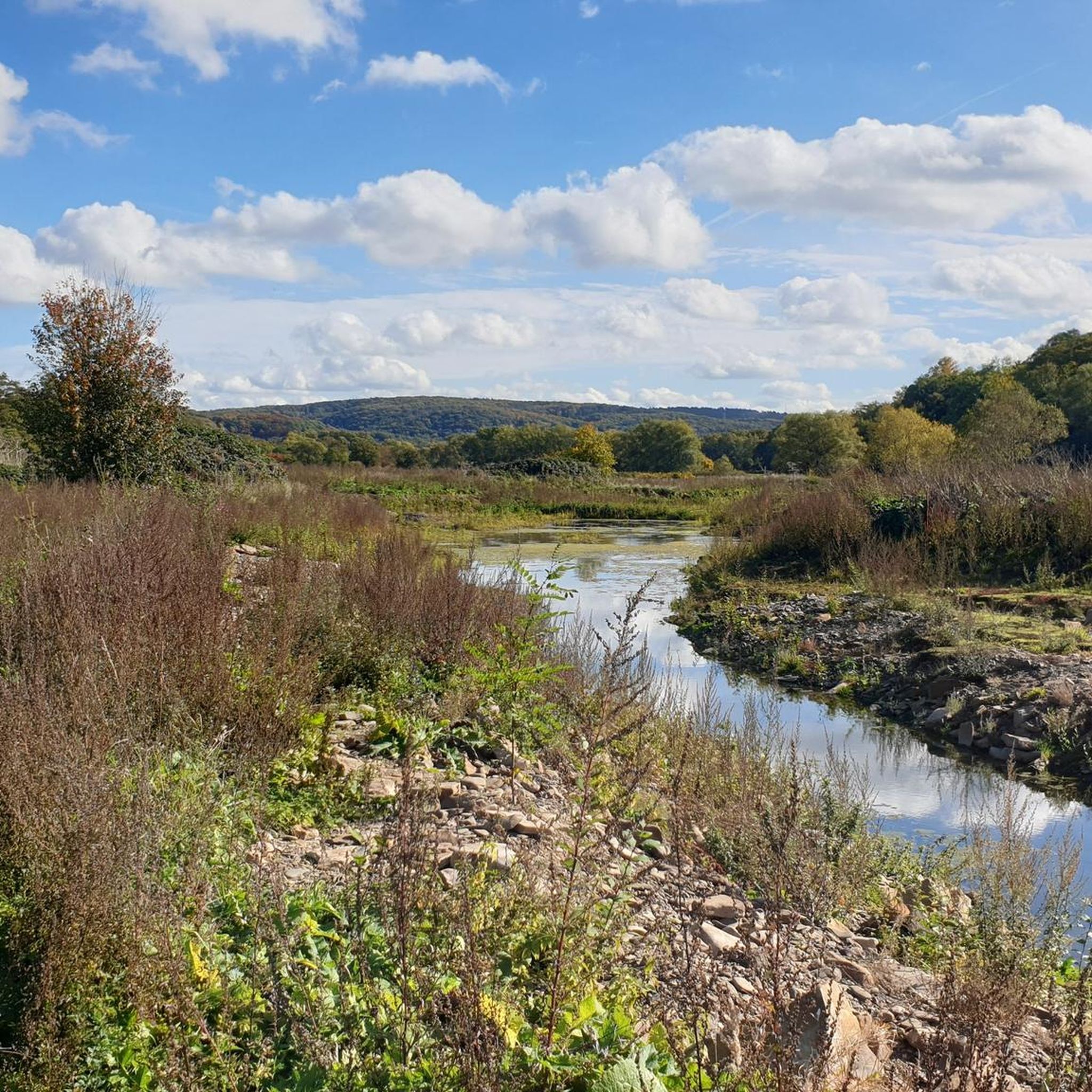
Road Cycling Routes around Witten
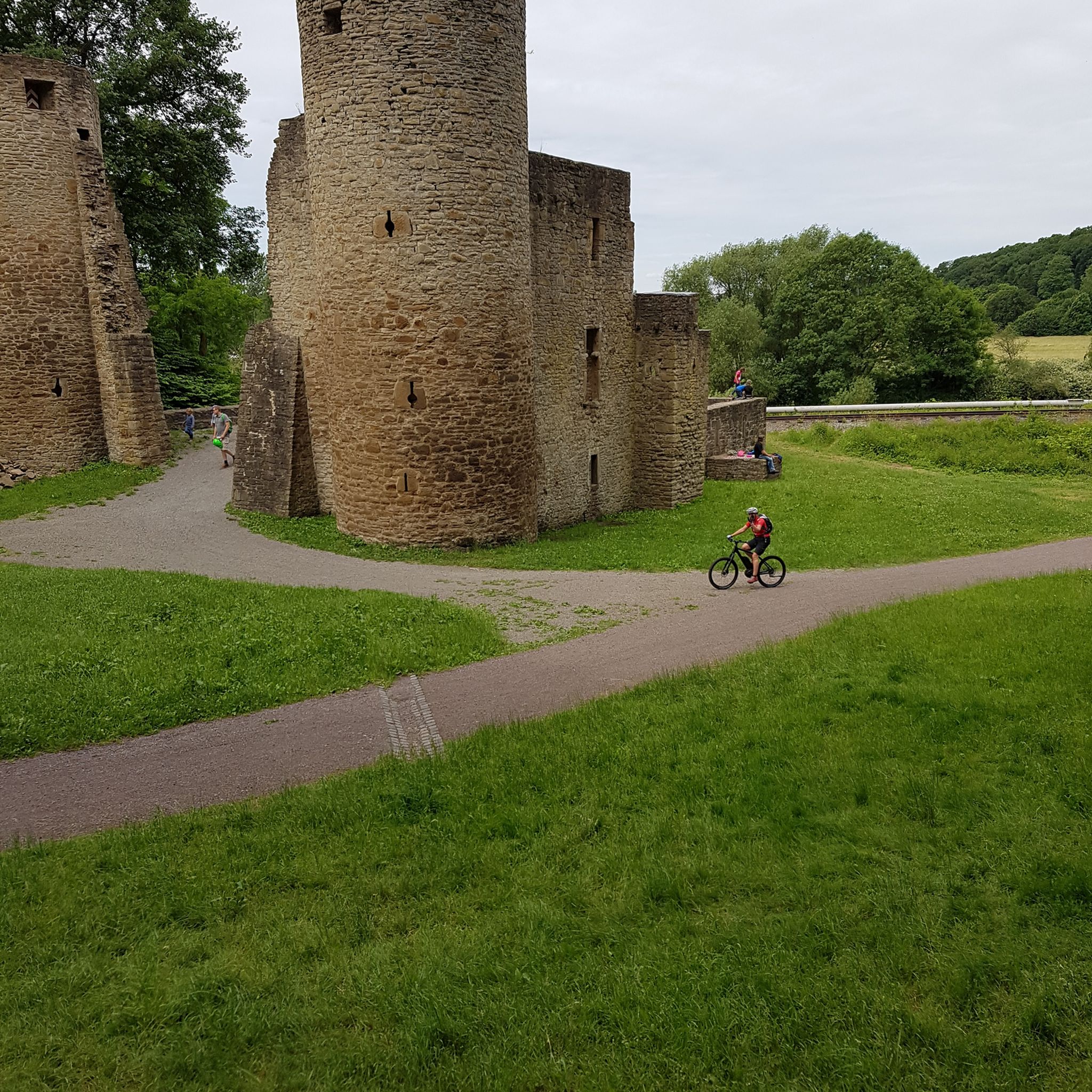
MTB Trails around Witten

Gravel biking around Witten
Other adventures around Witten


Tips from the Community

Stone tower at the Külpm quarry
0
0

Where is the map for this hike? How long is it?
0
0

A coal mine that was not registered in the post-war period.
1
0

Attractively designed tower. It would be nice if someone would open a restaurant in the small neighboring building.
2
0
Landmark and milestone on the 3 Towers Trail.
2
0


https://www.ruhrgebiet-industriekultur.de/muttental This mining hiking trail was designed between 1972 and 1977
1
0

In 1783, the two brothers Henrich Johann and Henrich Oberste Frielinghaus mined a coal bank that stretched from the Muttenbach eastwards beneath the Dickenberg in the Muttental. The mining area, which had been expanded to include another seam, was granted the name Jupiter in 1789. A mining tunnel was driven into the mountain, through which the two seams Jupiter 1 and 2 were mined. However, this operation was also suspended for a long time because the transport route to the Ruhr was too complicated. But after the Fortuna tunnel resumed operations in 1830, the two mines were connected by a crosscut. The Jupiter 1 mine sunk the Juno shaft in 1847. At first, the coal was mined in the 20 meter deep shaft using a hand winch. The Juno shaft was sunk a further 21 meters to the St. Johannes Erbstollen floor in 1856. A horse-drawn sledgehammer was also built on the shaft. The sledgehammer shaft was in use for many years and was the last of its kind in this area until it was temporarily closed in 1887. Many years later, the small Jupiter mine operated gleaning mining at various locations in the Muttental. Its first mining site in May 1934 was east of the Muttenbach. The entrepreneur Georg Horst had coal residues mined there, which he transported to the surrounding area and sold. The mine was put back into operation on January 1, 1954. A ton-long shaft was available for mining; this was about 60 meters deep and reached into the Finefrau seam. The shaft was equipped with a new wooden frame. Mining also took place in the Renate mine shaft for a time. In the same year, 68 miners mined 11,151 tons of hard coal. On July 11, 1955, a mining accident occurred at the mine, after which the Jupiter II mine was closed down. The relics from the gleaning mining are still there and can be visited at any time. The remains of the coal loading station shown here consist of a cable winch, a rotary tipper and the tunnel entrance of the old Jupiter mine. It was restored in 1979 and is now station 10 on the mining hiking trail. Source and link to the full article: https://www.kdwupper.de/wiege_des_bergbaus_muttental.html
0
0
Frequently Asked Questions
How many hiking trails are available in Witten?
Witten offers a wide variety of hiking experiences, with nearly 460 routes recorded on komoot. This includes over 320 easy trails, 114 moderate options, and 18 more challenging routes, ensuring something for every skill level.
What kind of terrain can I expect on Witten's hiking trails?
Witten's hiking trails feature diverse terrain. You'll find scenic paths along the Ruhr River, through dense woodlands like the Witten Woods, and up into the elevated Ardey Mountains. The Muttental Valley also offers trails with unique rock formations and historical mining landscapes.
Are there any circular hiking routes in Witten?
Yes, Witten has many excellent circular routes. For example, the moderate Muttenbach Trail – Muttenbach Stream loop from Witten Hbf takes you through varied scenery, while the Borbachtal – Kermelberg Water Tower loop from Witten offers a pleasant walk through the valley and past a notable landmark.
What natural features can I explore while hiking in Witten?
Witten is rich in natural beauty. You can explore the picturesque Ruhr Valley, the dense Witten Woods, and the rolling hills of the Ardey Mountains. A significant highlight is Lake Kemnade, a large reservoir with an 11 km illuminated circuit, perfect for walks.
Are there family-friendly hiking options in Witten?
Absolutely. Many trails in Witten are suitable for families. The easy Bergbauwanderweg Muttental M2 is a great choice, exploring the historic Muttental Valley. The Hohenstein Recreation Area also offers trails combined with playgrounds and animal enclosures, making it ideal for a family outing.
What historical landmarks or viewpoints can I find along Witten's hiking trails?
Witten's trails often lead to interesting historical sites and viewpoints. You can visit the idyllic 13th-century Hardenstein Castle Ruins in the Muttental, or enjoy expansive views of the Ruhr Valley from the Hohenstein Recreation Area, including the impressive Ruhr Viaduct at Harkort Lake.
Are there dog-friendly hiking trails in Witten?
Yes, many of Witten's trails are suitable for hiking with dogs. The region's extensive woodlands and riverside paths provide ample space for your canine companion. Always remember to keep your dog on a leash where required and clean up after them.
What do other hikers say about the trails in Witten?
The hiking trails in Witten are highly regarded by the komoot community, with an average rating of 4.5 stars from over 6,300 reviews. Hikers frequently praise the diverse landscapes, well-maintained paths, and the blend of natural beauty with historical and industrial heritage.
Can I access Witten's hiking trails using public transport?
Witten is well-connected, and many trailheads are accessible via public transport. For instance, the Muttenbach Trail – Muttenbach Stream loop starts conveniently from Witten Hbf (main train station), making it easy to begin your hike without a car.
Are there any trails that showcase Witten's mining history?
Yes, Witten's rich mining history is a prominent feature of some trails. The Bergbauwanderweg Muttental M2 is specifically designed to explore this heritage, leading past remnants of old mines and offering insights into the region's industrial past. You can also visit the LWL Industrial Museum Nachtigall Colliery for a deeper dive into mining history.
What is the best season for hiking in Witten?
Witten offers enjoyable hiking experiences throughout the year. Spring brings lush greenery and blooming flora, while autumn showcases vibrant fall colors in the woodlands. Summer is perfect for riverside strolls, and even winter hikes can be beautiful, especially along the illuminated paths around Lake Kemnade.
Are there any challenging hikes in Witten for experienced hikers?
For those seeking a greater challenge, Witten offers more demanding routes, particularly in the Ardey Mountains. The Hardenstein Castle Ruins – View of the Ruhr Countryside loop is a difficult 14.8 km trail with significant elevation changes, providing a rewarding experience for seasoned hikers.
Most popular routes around Witten
Most popular attractions around Witten

Get inspired with the komoot mobile app


Explore more
Browse the best Hikes in other regions.
