The best MTB trails around Seibersbach
4.5
(611)
2,009
riders
25
rides
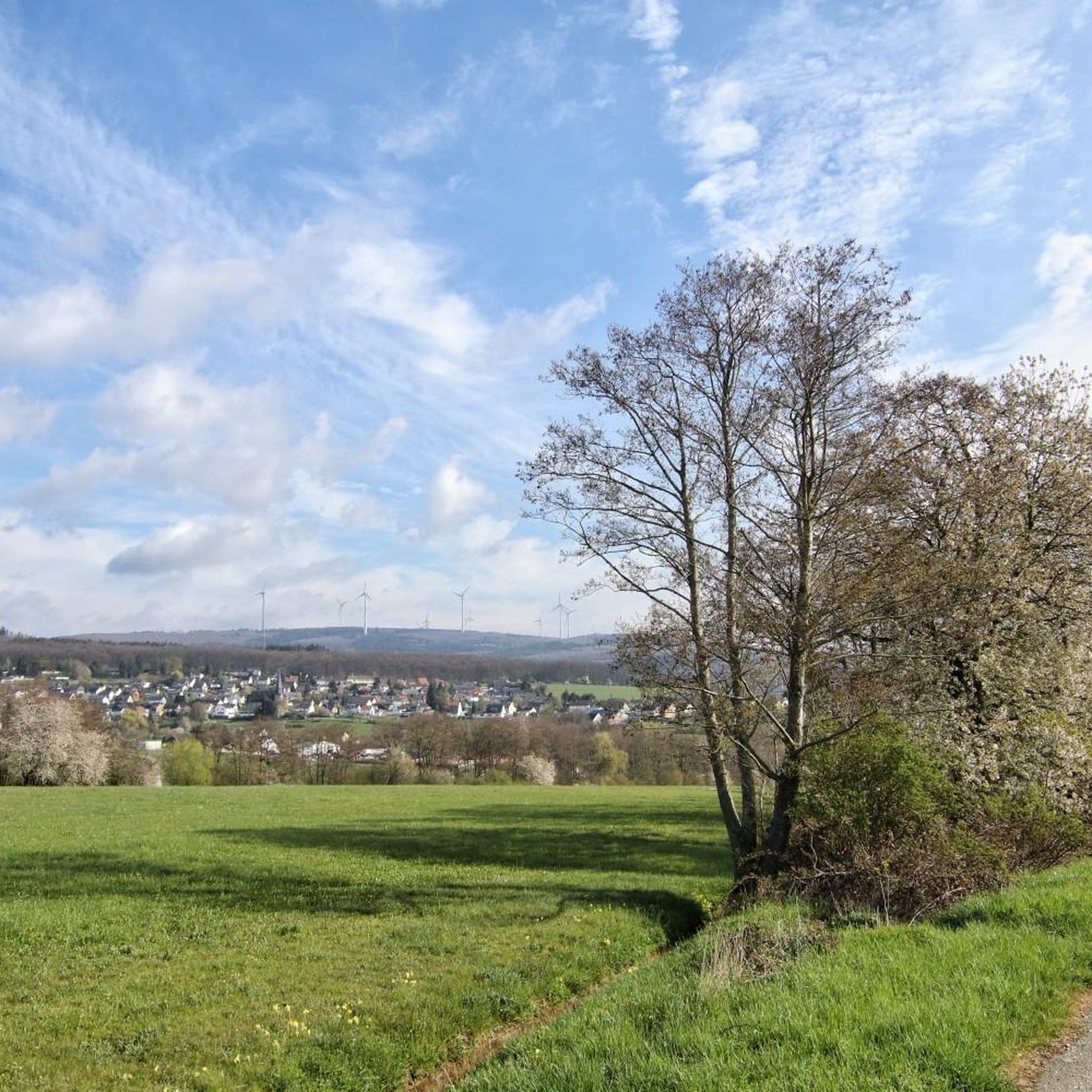
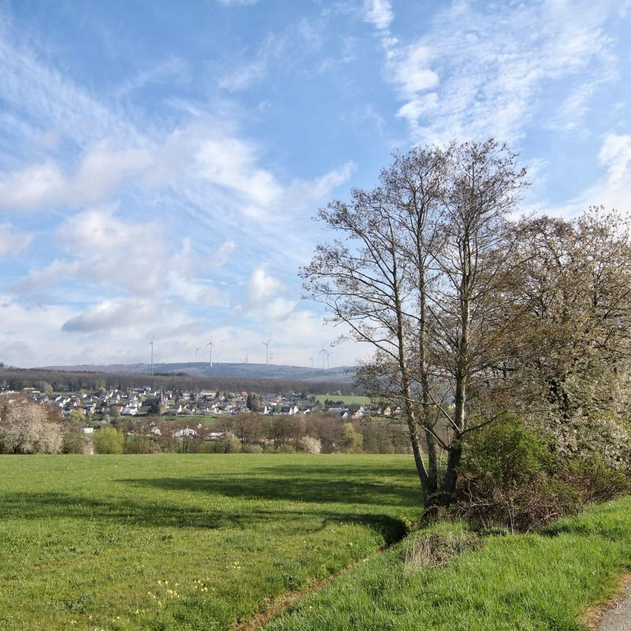
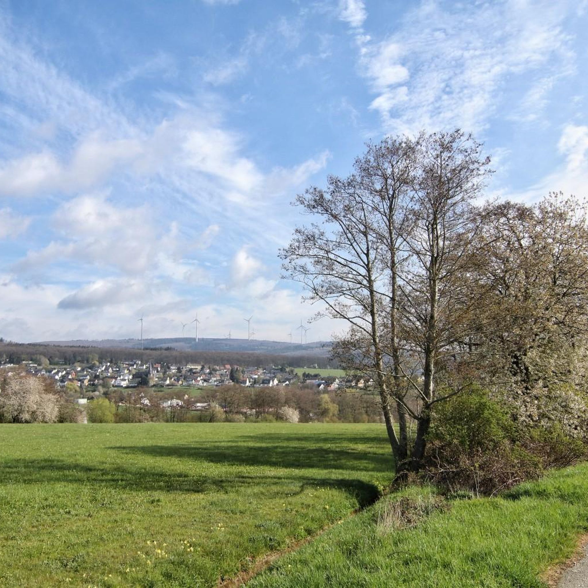
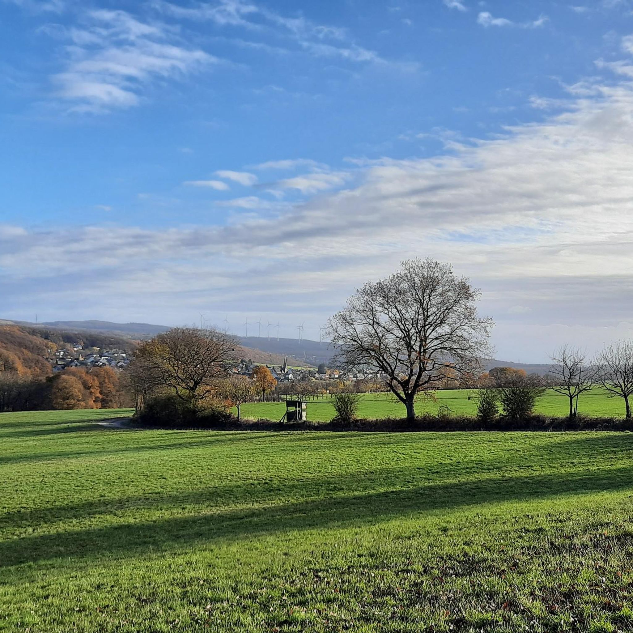
Mountain biking around Seibersbach offers diverse landscapes, blending open plains with enchanting forests in Rhineland-Palatinate, Western Germany. The region features a varied topography, characterized by the "Weinland Nahe" and the "Hunsrück" low mountain range. This creates a dynamic environment with engaging trails and elevation changes suitable for mountain biking.
Best mountain bike trails around Seibersbach
- The most popular mountain bike trail is Shelter at Six-Way Junction – Hochsteinchen Summit loop from Seibersbach, a 12.6 miles (20.2 km) trail that…
Last updated: October 4, 2026
4.6
(16)
20
riders
Moderate mountain bike ride. Good fitness required. Advanced riding skills necessary.
5.0
(3)
9
riders
46.2km
04:09
1,080m
1,080m
Hard mountain bike ride. Very good fitness required. Advanced riding skills necessary.

5.0
(3)
5
riders
19.0km
01:56
480m
480m
Moderate mountain bike ride. Good fitness required. Advanced riding skills necessary.
4.5
(4)
6
riders
19.8km
01:38
330m
320m
Moderate mountain bike ride. Good fitness required. Suitable for all skill levels.
5.0
(3)
9
riders
13.5km
01:03
210m
210m
Easy mountain bike ride. Great for any fitness level. Suitable for all skill levels.
Get access to more routes and recommendations from other explorers.
Already have an account?
Our route recommendations are based on thousands of hikes, rides, and runs completed by other people on komoot.
Start today with a free account
Your next adventure awaits.
Tips from the Community

From the village center in Weiler, continuing the Heilig Kreuz-Weg, a Stations of the Cross with Stations of the Cross leads north into the Binger Wald. It ends at the "Gedenkstätte Belle Kreuz" in the middle of the forest. The site is equipped with an open-air altar and a 10-meter-high wooden cross. The altar area serves as a memorial for the victims of the Second World War. The first Holy Mass took place here in 1955. As early as 1949, the community was founded to establish a Stations of the Cross. In 1951/52, the Stations of the Cross, made of Mayen basalt, could be erected. The Mainz sculptor Adam Winter created the relief panels for the niches of the stations. Since 1961, the remaining work has been completed.
1
0

A beautiful view and a bench invite you to a short break.
0
0

Beautiful to look at, historical background, nice paths.
0
0

bei ober heinbach Ohligsberg
0
0


Info "Belle Kreuz Memorial": The square is equipped with an open-air altar and a 10-meter-high wooden cross. The altar area serves as a memorial for the victims of the Second World War. The first Holy Mass was held here in 1955. The community for the establishment of a Stations of the Cross was founded in 1949. In 1951/52 the Stations of the Cross made of Mayen basalt were set up. The Mainz sculptor Adam Winter created the relief panels for the stations' niches. The remaining work has been completed since 1961.
1
0


The history of the “Stromberger Neuhütte”, a small settlement directly on the country road of the Guldenbachtal, is interesting. What looks so idyllic today was once an industrial plant for iron extraction and the production of iron products. As I found out on the day of the open monument during a great tour of the "Gräfenbacher Hütte", there were huts in all the neighboring valleys and the forest was cut down on a large scale. Unfortunately I couldn't find a good source for the Stromberger Neuhütte. Maybe it helps: https://www.kuladig.de/Objectansicht/KLD-245982 See also hiking highlight https://www.komoot.de/plan/@49.9680121,7.7306667,17.426z?sport=touringbicycle&waypoint=hl:1215625
0
0
Frequently Asked Questions
How many mountain bike trails are available around Seibersbach?
There are over 25 mountain bike trails around Seibersbach, offering a variety of routes for different skill levels. You'll find a mix of easy and moderate trails to explore the region's diverse landscapes.
What kind of terrain and difficulty can I expect on mountain bike trails in Seibersbach?
The terrain around Seibersbach is characterized by a dynamic interplay of open plains and enchanting forests, set within the Hunsrück low mountain range and the Weinland Nahe. You can expect varied elevation changes, with trails ranging from easy to moderate difficulty. While there are no officially designated difficult trails, the moderate routes offer engaging challenges with elevation gains up to 350 meters.
Are there easy mountain bike trails suitable for beginners in Seibersbach?
Yes, Seibersbach offers several easy mountain bike trails perfect for beginners or those looking for a more relaxed ride. An example is the Dörrebach Community Center loop from Seibersbach, which is about 12.9 km long with around 200 meters of elevation gain.
What are some notable landmarks or natural features I can see along the mountain bike trails?
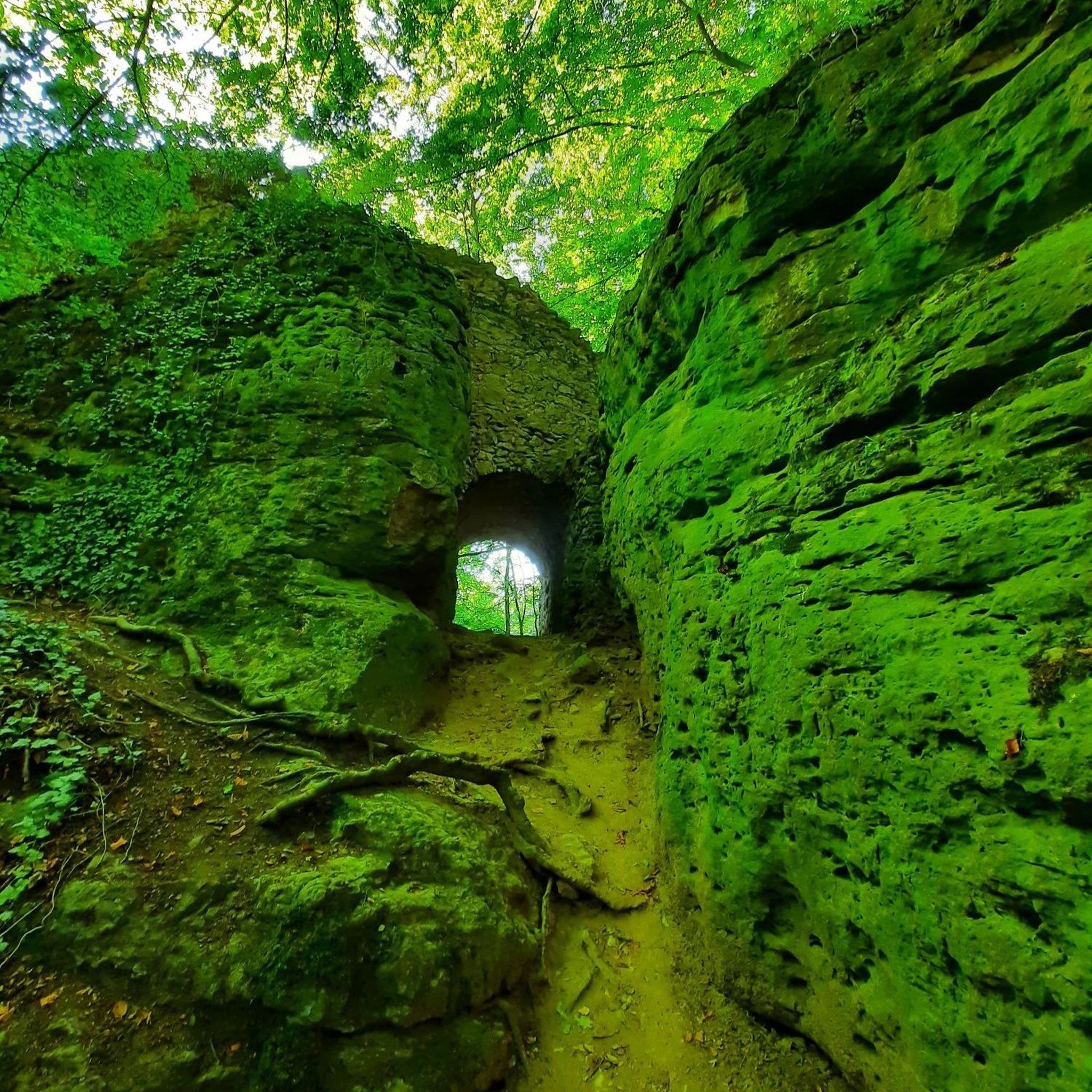
Many mountain bike trails in Seibersbach incorporate interesting landmarks and natural features. You can ride past the Steeg Slate Mine, the Mönchholzkopf Slate Mine, or enjoy views from the Hochsteinchen Summit. Historical sites like the Karlsburg Ruins are also integrated into routes, adding a cultural dimension to your ride. The region is also known for its 'enchanted forests' and open plains.
Are there any specific viewpoints or scenic spots on the mountain bike routes?
Yes, several routes offer rewarding views. The Shelter at Six-Way Junction – Hochsteinchen Summit loop from Seibersbach includes the Hochsteinchen Summit, known for its scenic vistas. Another route, the Soonwald Forest Playground – Weissenfels Viewpoint loop from Seibersbach, passes by the Weissenfels Viewpoint, offering more opportunities for panoramic sights.
What do other mountain bikers enjoy most about the trails in Seibersbach?
The mountain bike trails in Seibersbach are highly rated by the komoot community, with an average score of 4.6 stars from over 600 reviews. Riders often praise the diverse landscapes, which blend open plains with enchanting forests, and the engaging trails that cater to various skill levels. The integration of natural and historical landmarks also enhances the riding experience.
Are there any unique natural attractions near Seibersbach that I can explore?
Beyond the trails, the region boasts unique natural attractions. The Steckeschlääferklamm features a 'Tree Spirits Trail' with over 60 carved tree spirits along the Hasselbach creek. Additionally, the Kreuzbach Suspension Bridge offers a thrilling experience, spanning a 20-meter deep valley.
Are there any mountain bike trails that pass by historical sites?
Yes, you can combine your ride with a visit to historical sites. The Shelter at Six-Way Junction – Karlsburg Ruins loop from Seibersbach is a moderate 19.5 km path that specifically incorporates the Karlsburg Ruins, adding a historical element to your mountain biking adventure.
Is there a flowtrail or bike park nearby for mountain bikers?
While Seibersbach itself focuses on natural trails, the nearby town of Stromberg is home to a well-known 'Flowtrail' that attracts mountain biking enthusiasts from beyond the immediate region. This offers an additional option for those seeking a dedicated flowtrail experience.
What is the best time of year to go mountain biking in Seibersbach?
Seibersbach offers a compelling environment for mountain biking throughout much of the year. The diverse landscapes, with both open plains and forests, provide varied scenery. Spring and autumn are generally ideal, offering pleasant temperatures and beautiful foliage, though the trails can be enjoyed in summer and even milder winter days.
Are there any lakes or water features accessible from the mountain bike trails?
While not directly on every trail, the region around Seibersbach features several lakes that can be explored. Notable options include Waldsee Argenthal and Simmer Lake, which are popular spots for recreation and can be reached as part of longer rides or detours.
Most popular routes around Seibersbach
Most popular attractions around Seibersbach

Get inspired with the komoot mobile app


Explore more
Browse the best MTB trails in other regions.
