The best walks and hikes around Seewen
4.6
(919)
5,335
hikers
18
hikes
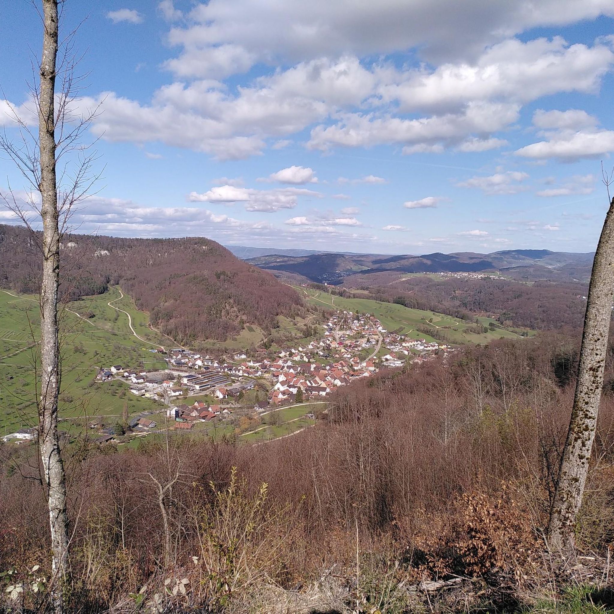
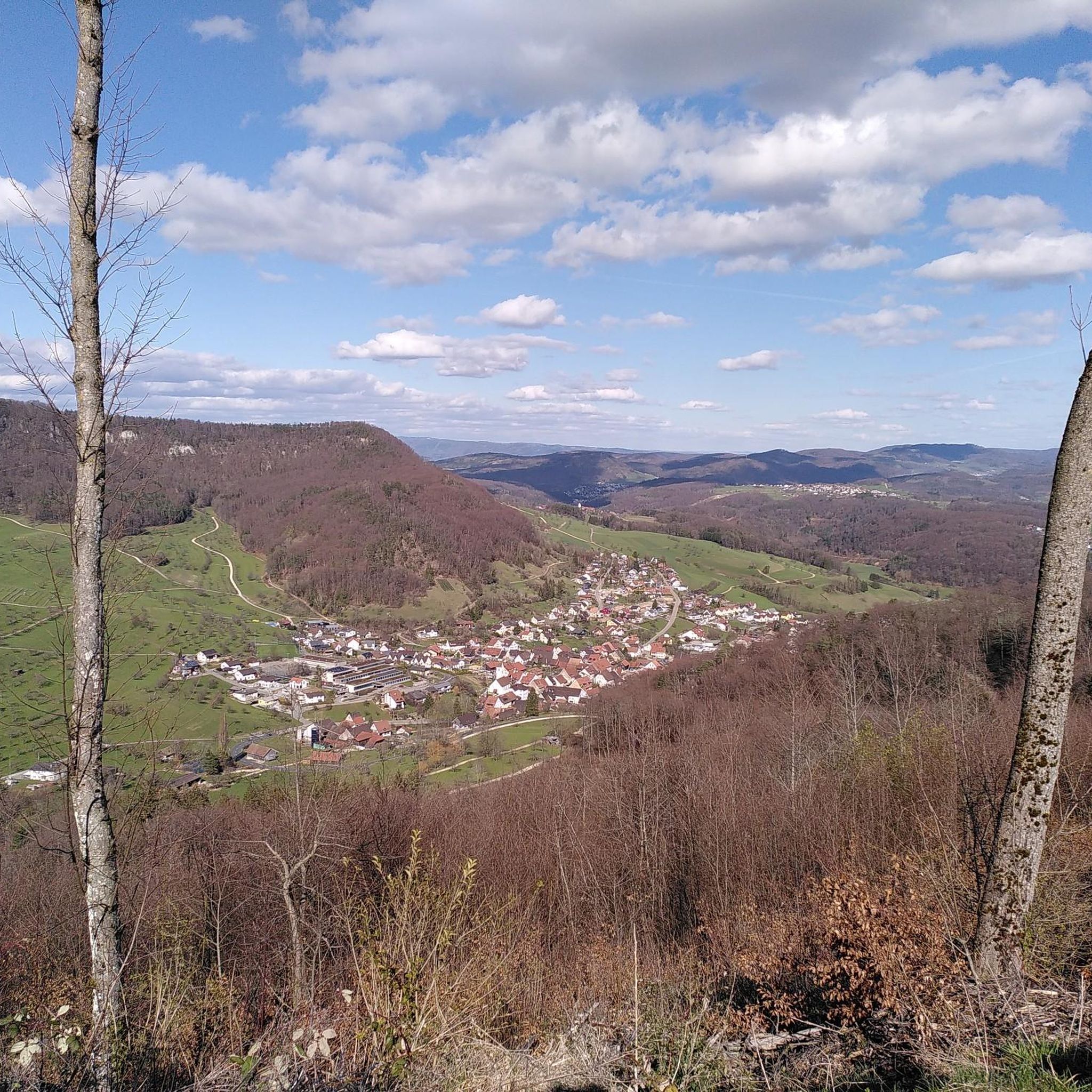
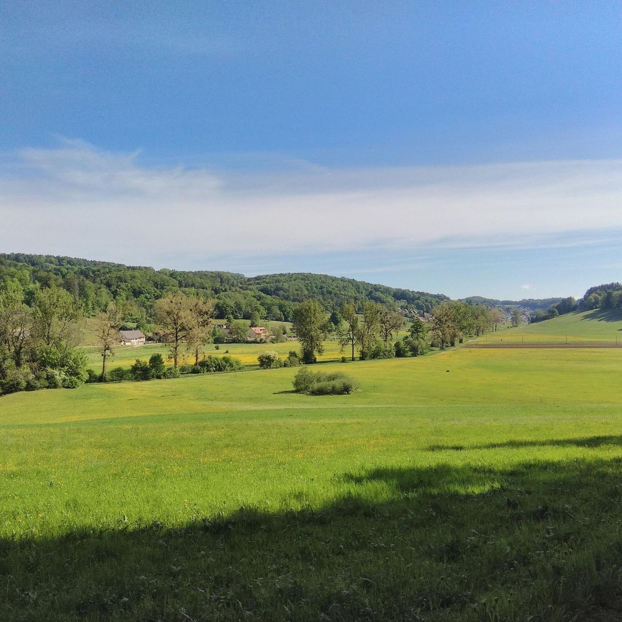
Hiking around Seewen offers diverse landscapes, from lush meadows to rocky paths and evergreen conifer stands. The region is characterized by varied terrain, providing opportunities for different hiking experiences. Several surrounding peaks offer panoramic views, contributing to the scenic appeal of the hiking trails around Seewen. The area's natural features include lakes and the potential for waterfalls, enhancing the outdoor environment.
Best hiking trails around Seewen
- The most popular hiking route is Shrine in the Rock – Historic Boundary Stone…
Last updated: August 7, 2026
5.0
(3)
10
hikers
5.39km
01:28
80m
80m
Easy hike. Great for any fitness level. Easily-accessible paths. Suitable for all skill levels.
4
hikers
Moderate hike. Good fitness required. Easily-accessible paths. Suitable for all skill levels.

Sign up for free
5.0
(3)
8
hikers
7.61km
02:17
240m
250m
Moderate hike. Good fitness required. Easily-accessible paths. Suitable for all skill levels.
5.0
(2)
10
hikers
9.01km
02:40
260m
260m
Moderate hike. Good fitness required. Easily-accessible paths. Suitable for all skill levels.
5.0
(2)
8
hikers
8.86km
02:34
220m
220m
Moderate hike. Good fitness required. Easily-accessible paths. Suitable for all skill levels.
Get access to more routes and recommendations from other explorers.
Sign up for free
Already have an account?
Our route recommendations are based on thousands of hikes, rides, and runs completed by other people on komoot.
Start today with a free account
Your next adventure awaits.
Login or Signup
Tips from the Community


The Baslerweier is an artificial lake that served as a drinking water supply for Basel for 70 years from 1870. Today it belongs to the canton of Solothurn and is a nature reserve. A true idyll!
4
0
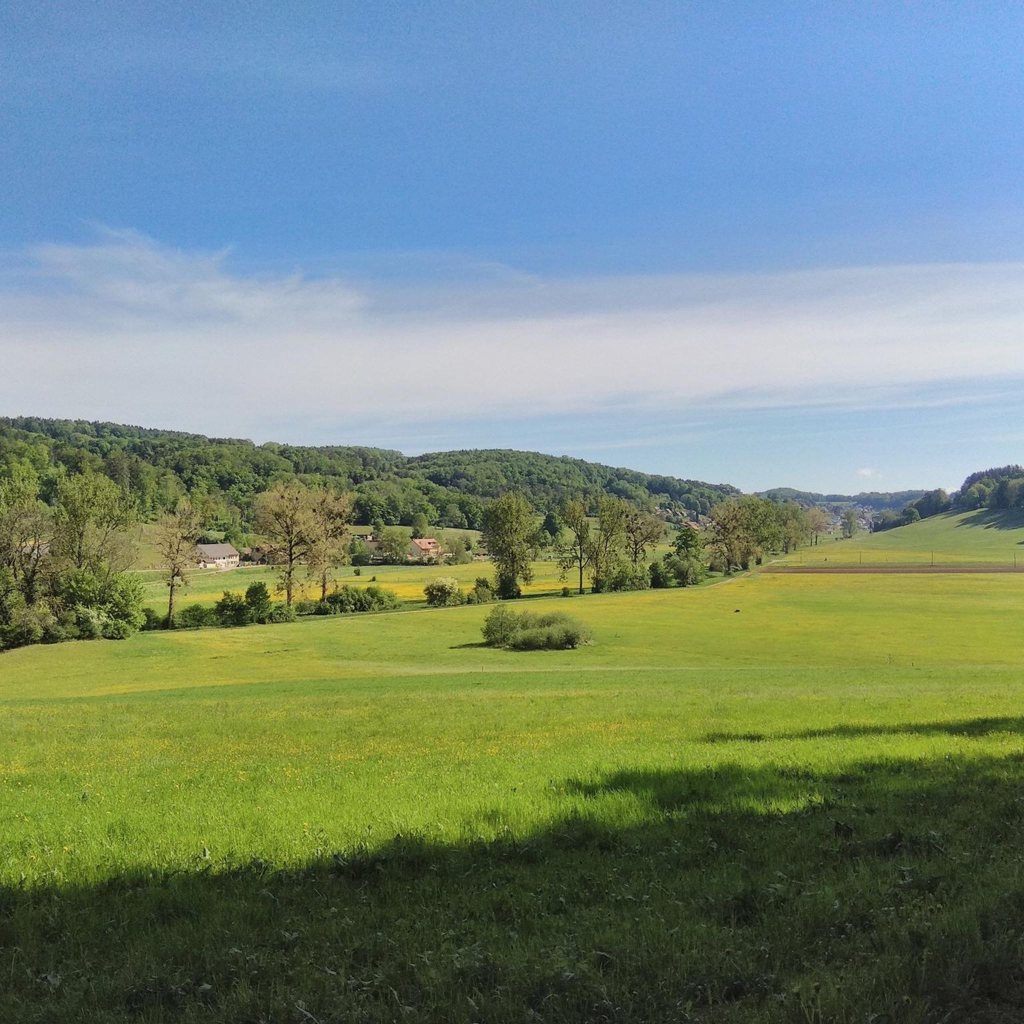
Where the Seebach stream formed Lake Seewen a few hundred years ago, a wonderful gravel path now runs alongside the stream. It's a beautiful ride in both directions. Thanks to the wide views and flat terrain, you can really roam the dirt road.
2
0

The Baslerweiher (also Basler Weiher or Baslerweier) is a small lake in the municipality of Seewen in the Swiss canton of Solothurn. It is located in the Jura, has an average water level of 560 m above sea level and an area of approx. 1.7 ha. https://de.m.wikipedia.org/wiki/Baslerweiher
0
0
The church of St. German stands in a dominant position on a promontory above the village. The church took on its current shape during the extensive renovation, enlargement and redesign in 1823. The double-towered structure was built at that time; the crested roofs of the two towers were later replaced by pointed roofs, but were restored to their original shape in 1973 by the Seewen-based company T&T Schmidli Holzbau GmbH. In the village center, characteristic farmhouses from the 17th to 19th centuries have been preserved.
0
0

After the climb from Büren you can gather yourself here and take a deep breath.
0
0

There is also a restaurant and an e-bike charging station.
2
0

Frequently Asked Questions
What types of landscapes can I expect to see while hiking around Seewen?
Hiking around Seewen offers a diverse range of landscapes, from lush meadows and rocky paths to stands of evergreen conifers. The varied terrain ensures a dynamic experience, often featuring breathtaking panoramic views from surrounding peaks like Hohe Winde, Hirnichopf, and Vogelberg. You'll also encounter lakes and potentially waterfalls, adding to the natural beauty.
Are there any easy hiking trails suitable for beginners or those looking for a relaxed walk?
Yes, Seewen offers trails suitable for all fitness levels. While many routes are moderate, there are 2 easy trails available. These shorter loops typically involve moderate elevation gain and are perfect for a relaxed stroll, often lasting up to two hours.
Are there any notable natural attractions or landmarks to explore on the trails?
Absolutely. The region around Seewen is rich in natural attractions. You can explore the dramatic Kaltbrunnental Gorge and the serene Chaltbrunnental Nature Reserve. There are also natural monuments and caves to discover, adding a unique element to your hike.
Can I find any waterfalls along the hiking routes in Seewen?
Yes, the area features beautiful waterfalls. You can visit the Chastelbach Waterfall or the Sormatt Waterfall. A popular route that includes a waterfall is the Chastelbach Waterfall Ascent – Chastelbach Waterfall loop from Im Welschhans, which is a moderate 11.3 km hike.
What do other hikers enjoy most about the trails in Seewen?
The trails in Seewen are highly rated by the komoot community, with an average score of 4.7 stars from over 700 reviews. Hikers frequently praise the diverse terrain, stunning mountain views, and the presence of beautiful alpine flora, especially in early summer. The well-maintained network offers options for various ability levels, making it enjoyable for many.
Are there any circular hiking routes available in Seewen?
Yes, many of the hiking routes in Seewen are circular, offering convenient starting and ending points. For example, the Shrine in the Rock – Historic Boundary Stone BL/SO loop from Im Welschhans is a popular moderate circular trail covering 9.8 km.
Are the hiking trails around Seewen suitable for families with children?
Seewen offers a variety of trails, including shorter loops with moderate elevation gain that are suitable for families. These paths are generally easily accessible, making them a good choice for walks with children. Always check the specific route details for distance and elevation to ensure it matches your family's capabilities.
Is there public transport access to the hiking trailheads in Seewen?
While specific public transport details for each trailhead are not provided, Seewen is generally accessible. It's advisable to check local public transport schedules and routes to determine the best way to reach your desired starting point. Many trails are designed to be accessible, suggesting good connectivity.
Are there good viewpoints along the hiking trails in Seewen?
Yes, the region is known for its excellent viewpoints. Peaks like Hohe Winde, Hirnichopf, and Vogelberg offer sensational panoramic vistas that can extend to the Alps, the Vosges, and the Black Forest on clear days. The nearby Gempenturm Observation Tower also provides expansive views over Basel and the Black Forest.
What is the best time of year to go hiking in Seewen?
The best time to hike in Seewen is generally from spring to autumn. In early summer, the routes are particularly beautiful with abundant alpine flowers. The diverse terrain and varied elevation make it enjoyable across these seasons, though specific conditions can vary. Always check local weather forecasts before heading out.
Are there any trails that follow rivers or lakes in the Seewen area?
Yes, some trails incorporate water features. For instance, the View of the Solothurn Hills – Along the Seebach loop from Im Welschhans follows the Seebach, offering scenic views along the water. The region also features lakes, providing opportunities for lakeside strolls.
How many hiking trails are there in Seewen in total?
There are over 18 hiking trails around Seewen documented on komoot, offering a wide range of options for different preferences and fitness levels. This includes 2 easy trails and 16 moderate trails, ensuring there's something for everyone.
Most popular attractions around Seewen

Get inspired with the komoot mobile app


Explore more
Browse the best Hikes in other regions.
