The best walks and hikes around Serole
4.4
(338)
1,185
hikers
99
hikes
Hiking around Serole offers routes through forested hills and valleys. The terrain features varied elevations, with paths winding through natural landscapes. The region provides a network of trails suitable for different hiking experiences, encompassing both moderate ascents and more challenging climbs.
Best hiking trails around Serole
- The most popular hiking route is Walking through the forests of Merana — Loop tour, a 6.7 miles (10.8 km) trail that takes 3 hours 35 minutes to complete. This moderate route explores…
Last updated: July 23, 2026
4.8
(15)
46
hikers
10.8km
03:39
520m
520m
Embark on the "Walking through the forests of Merana — Loop tour," a moderate hike that takes you through the diverse landscapes of the Sonoran Desert. This route covers 6.7…
4.0
(2)
6
hikers
8.08km
02:31
300m
300m
Embark on the "From Merana to Bric del Rocco – loop tour", a moderate hike that takes you through a varied and interesting landscape near Merana. This 5.0-mile (8.1 km)…

Sign up for free
2.0
(1)
6
hikers
17.8km
05:45
760m
760m
Hard hike. Very good fitness required. Easily-accessible paths. Suitable for all skill levels.
5.0
(1)
1
hikers
24.2km
07:26
870m
870m
Hike the difficult 15.0-mile Piana Crixia Park and Merana Loop, gaining 2840 feet in elevation through unique geological formations.
2
hikers
7.24km
02:14
270m
270m
Historic cobblestone paths through Piemonte's wine country connecting ancient towers and medieval villages.
Get access to more routes and recommendations from other explorers.
Sign up for free
Already have an account?
Our route recommendations are based on thousands of hikes, rides, and runs completed by other people on komoot.
Start today with a free account
Your next adventure awaits.
Login or Signup
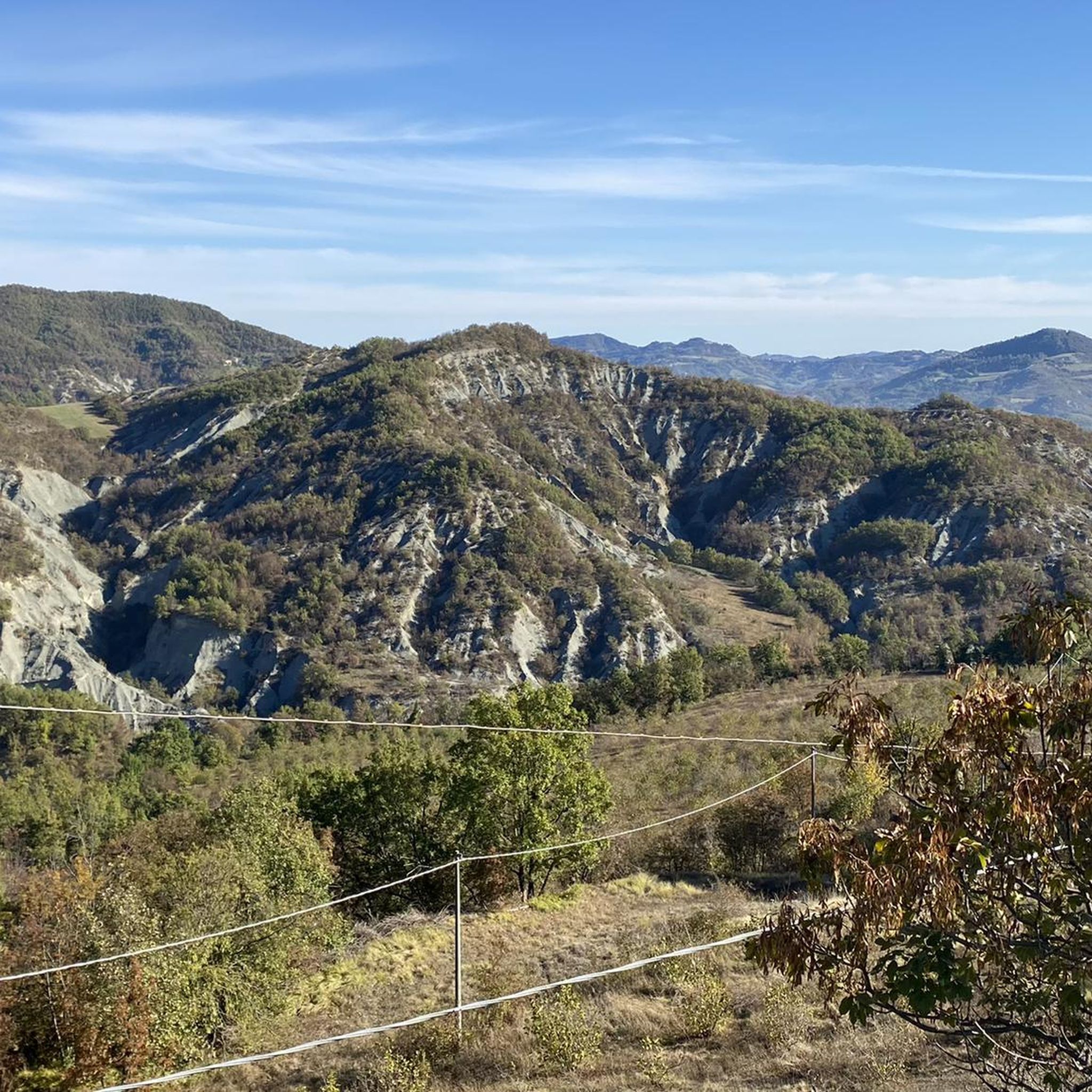
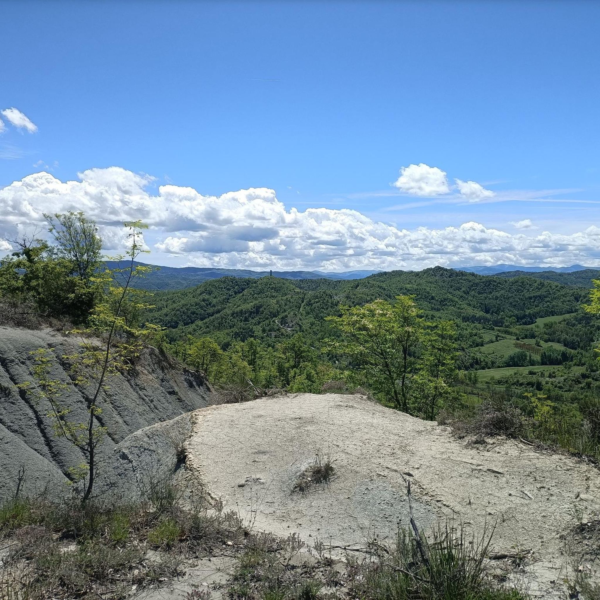
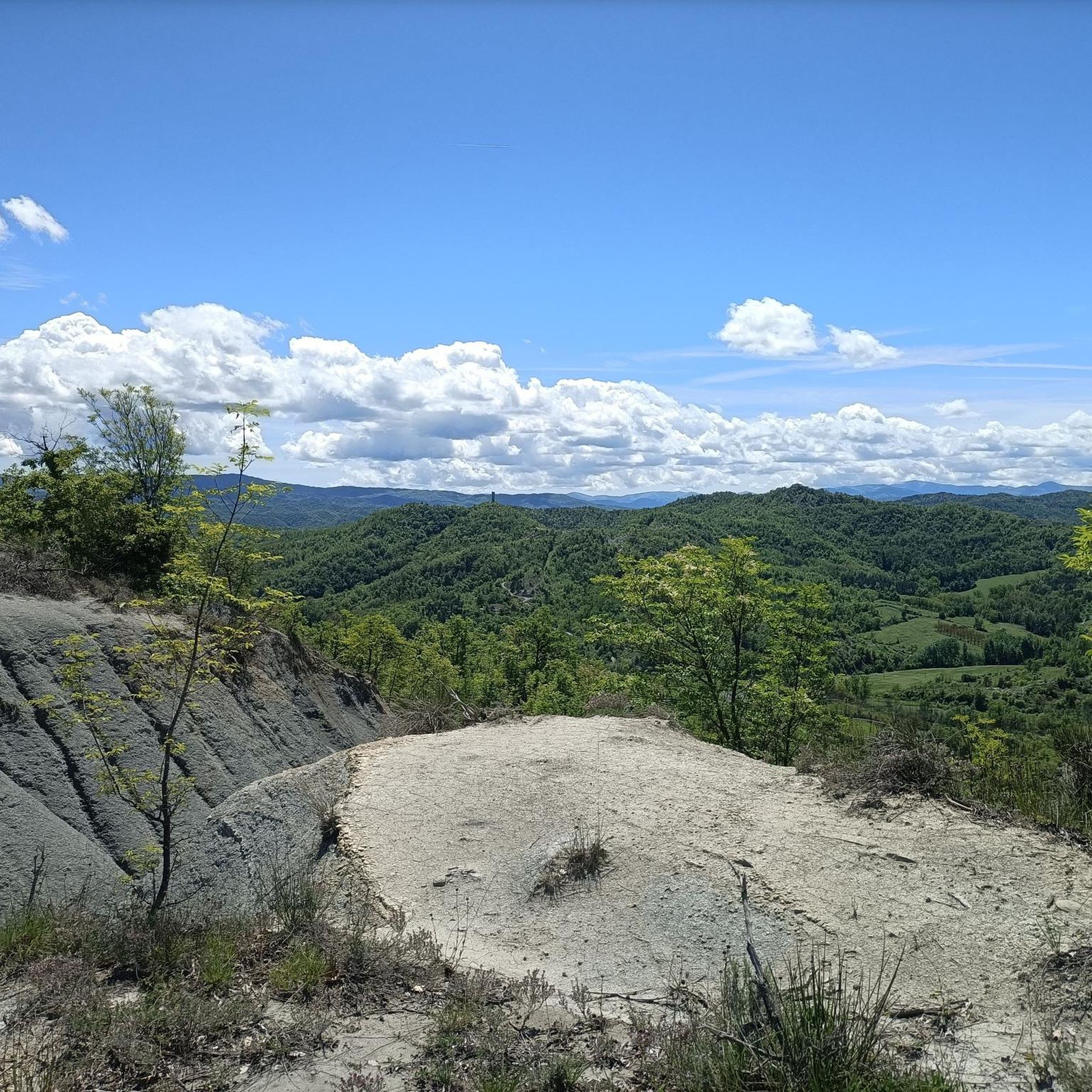
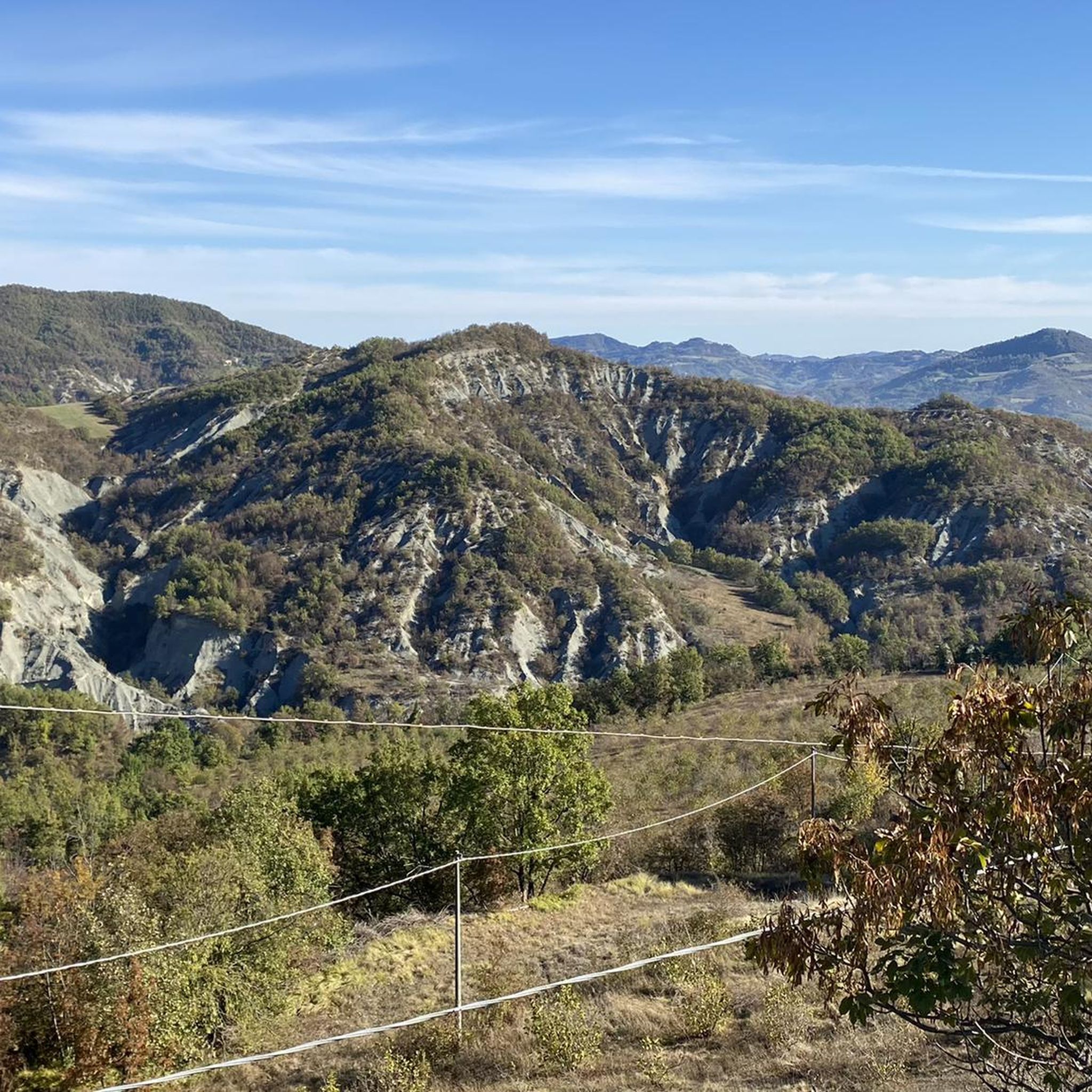

Tips from the Community

The narrow path makes its way through the dense forest and stone and sand dunes.
1
0

Very similar to the Ciciu di Villar, they look like large mushrooms with a stem made of earth and a stone cap
0
0
In May 2023 the giant bench was replaced by an old repainted boat, which also serves as a large bench where you can sit and admire the gullies and the panorama around Merana. It is located at a bend in an asphalted road
0
0
Small church that has comfortable benches in front of the entrance door to take a break, in the shade from the summer heat. It stands on top of the homonymous hill of San Fermo, a short distance from the homonymous tower
0
0

It is a dialect word that originates from the fusion of "muròn" (large face) and riònd (round). Muriòn: big round face. The walls are formed as a result of selective erosion that tends to "preserve" the hardest and most compact sandstone blocks and to "consume" more of the more friable sandy sandstone.
1
0
One of the numerous giant benches in the area, where you can take a very special photo immersed in nature.
0
0
Frequently Asked Questions
How many hiking trails are available around Serole?
There are over 85 hiking routes around Serole, offering a wide variety of experiences. The komoot community has explored these trails over 900 times, highlighting the region's appeal for outdoor enthusiasts.
What kind of terrain can I expect on hikes around Serole?
Hiking around Serole is characterized by forested hills, valleys, and diverse natural landscapes. The trails feature varied elevations, ranging from moderate ascents to more challenging climbs, providing options for different ability levels.
Are there any easy hiking trails suitable for beginners or families in Serole?
Yes, Serole offers several easier trails. Out of the 89 routes, 26 are classified as easy, making them suitable for beginners or families looking for a more relaxed outdoor experience. These paths often wind through local woodlands and offer gentle gradients.
What are some challenging hikes for experienced trekkers in Serole?
For experienced trekkers, Serole provides several challenging routes. One such option is From San Massimo to the giant bench – loop tour, a demanding 24.2 km trail with significant elevation gain. Another is From Merana to Bric la Piazza – loop tour, which covers 17.8 km through varied terrain.
Are there any circular hiking routes in Serole?
Yes, many of the trails around Serole are circular, allowing you to start and end at the same point. Examples include Walking through the forests of Merana — Loop tour and From Merana to Bric del Rocco – loop tour, both popular loop tours through the local countryside.
What natural features or viewpoints can I expect to see while hiking in Serole?
Serole, nestled in the Orco Valley within the Grand Paradis National Park, offers stunning alpine landscapes. You can expect majestic peaks, crystal-clear lakes like Lago Verde, Lago della Rossa, and Lago di Afframont, and picturesque mountain passes such as the Nivolet Pass. The region is rich in alpine scenery, including areas like Alpe Pian del Lago and Alpe Pian Bosco.
What do other hikers enjoy most about hiking in Serole?
The hiking routes in Serole are highly rated by the komoot community, with an average score of 4.5 stars from over 270 reviews. Hikers often praise the varied terrain, the peaceful forested hills, and the diverse natural landscapes that define the region's trails.
Are there any interesting landmarks or places to explore near the hiking trails?
Yes, there are several interesting landmarks and places to explore. You can visit the historic town of Cortemilia or the charming settlement of Roccaverano. For those interested in history, the Santuario del Todocco is a notable religious site. Additionally, the area features several castles and historical sites, such as the Cravanzana Village and Castle.
Is Serole a good destination for winter hiking or snowshoeing?
While the guide focuses on hiking, the broader Ceresole Reale area, which Serole is part of, transforms into a hub for snow sports in winter. Opportunities for snowshoeing, alpine skiing, cross-country skiing, and ice skating are available, suggesting that some trails might be suitable for winter activities, though specific winter hiking routes are not detailed in this guide.
What is the best time of year to go hiking in Serole?
The region is ideal for hiking during warmer months when the alpine trails are clear of snow. Summer offers pleasant conditions to explore the lakes and mountain passes. However, the diverse terrain means that spring and autumn can also provide beautiful hiking experiences with changing foliage, though some higher elevation routes might be affected by early or late snow.
Are there any specific trails that offer great views or scenic spots?
Many trails in Serole offer scenic views, particularly those that ascend to higher elevations or pass by the region's prominent lakes. The area is known for its majestic peaks reflecting in crystal-clear waters, providing breathtaking scenery throughout the Grand Paradis National Park. Look for routes that traverse mountain passes or lead to viewpoints overlooking the valleys.
Most popular attractions around Serole

Get inspired with the komoot mobile app


Explore more
Browse the best Hikes in other regions.
