The best road cycling routes around Schwörstadt
4.6
(809)
13,001
riders
277
rides
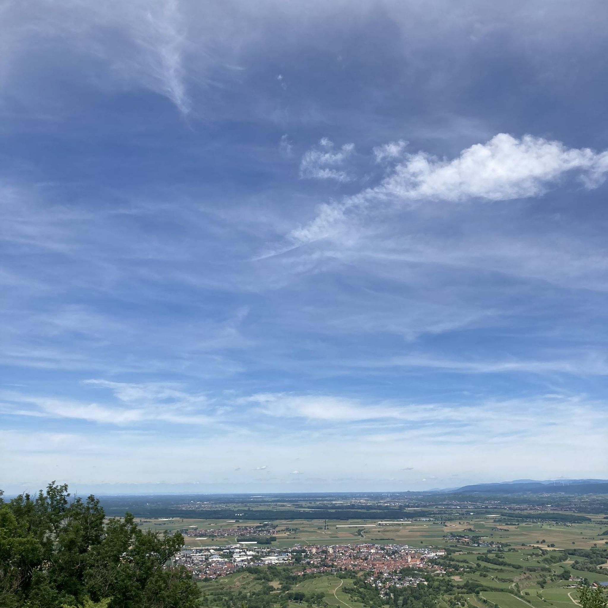
Road cycling routes around Schwörstadt are characterized by their proximity to the Rhine River and the foothills of the Black Forest. The region features a mix of river valleys, rolling hills, and forested sections, providing varied terrain for road cyclists. Elevation gains are generally moderate, with some routes incorporating climbs into the surrounding uplands. The landscape offers a blend of open agricultural areas and denser woodlands.
Best road cycling routes around Schwörstadt
- The most popular road cycling route is Liestal…
Last updated: November 4, 2026
3.8
(9)
71
riders
39.2km
01:50
410m
410m
Moderate road ride. Good fitness required. Mostly well-paved surfaces and easy to ride.
37
riders
65.9km
02:45
410m
410m
Moderate road ride. Good fitness required. Mostly well-paved surfaces and easy to ride.

5.0
(2)
35
riders
Moderate road ride. Good fitness required. Mostly well-paved surfaces and easy to ride.
3.3
(3)
31
riders
Moderate road ride. Good fitness required. Some segments of this route may be unpaved and difficult to ride.
21
riders
50.3km
02:36
730m
730m
Moderate road ride. Good fitness required. Some segments of this route may be unpaved and difficult to ride.
Get access to more routes and recommendations from other explorers.
Already have an account?
Our route recommendations are based on thousands of hikes, rides, and runs completed by other people on komoot.
Start today with a free account
Your next adventure awaits.
Tips from the Community

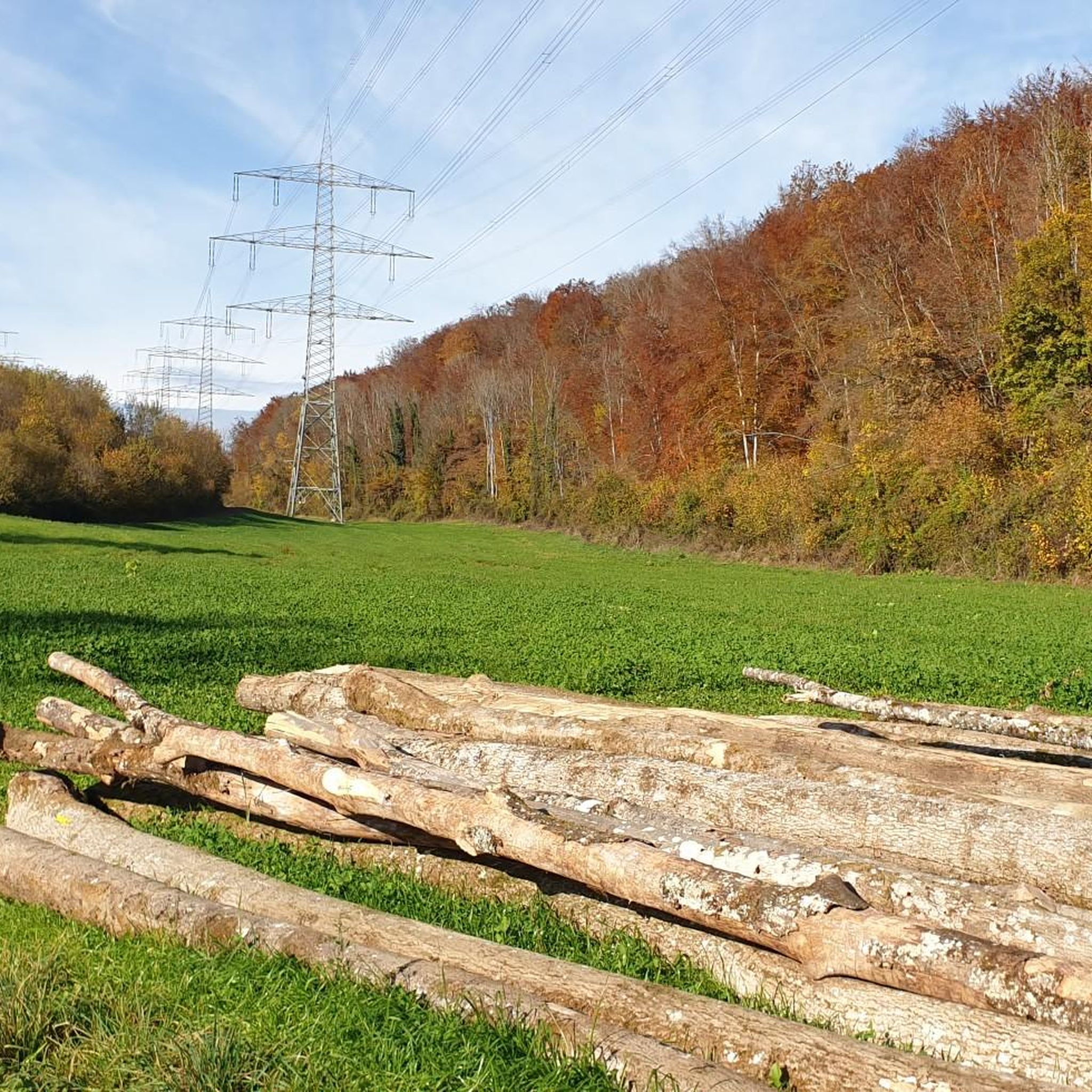
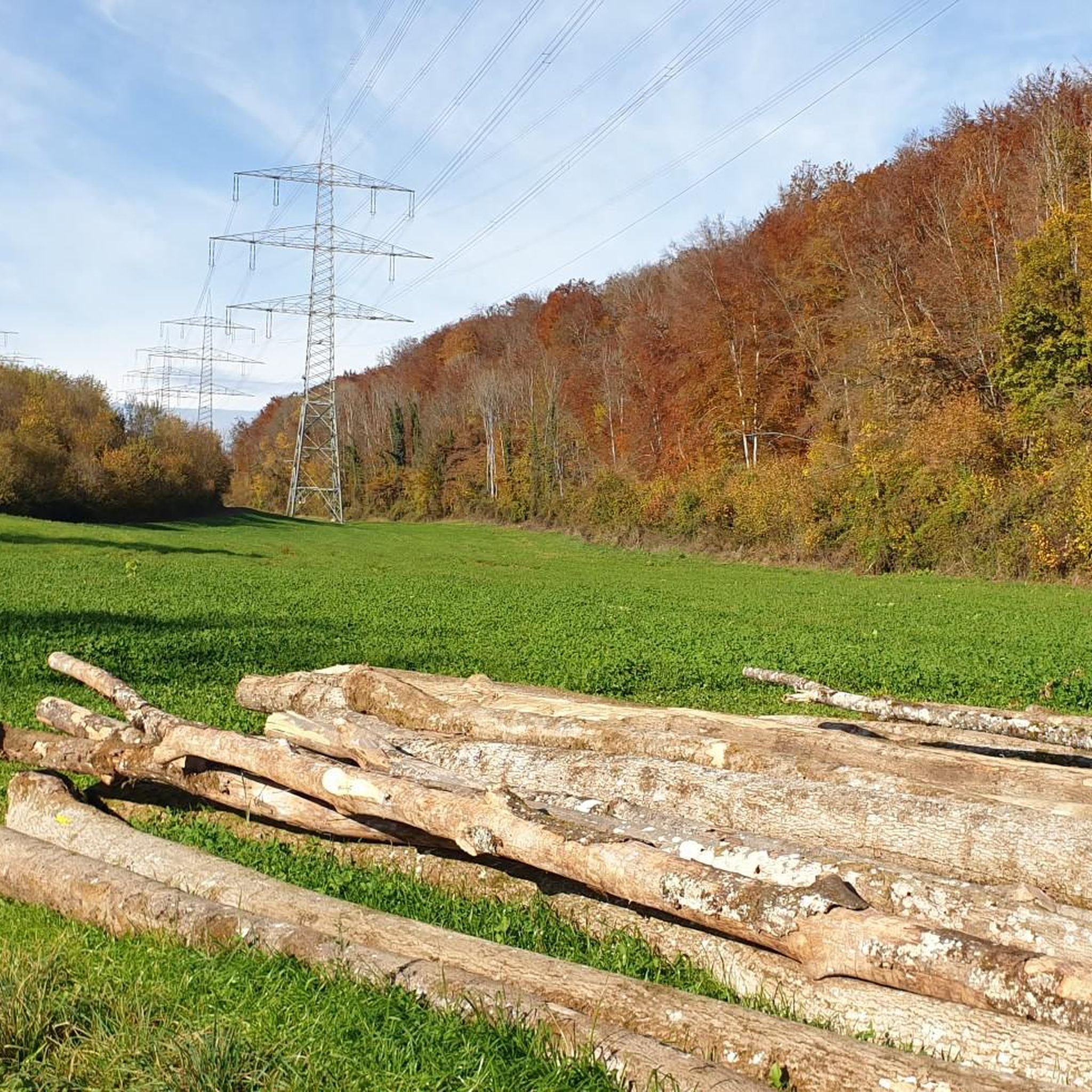
This is a wonderful section for cycling. The narrow road is rather little used and "meanders" through the typically rolling Dinkelberg landscape with a small-scale mosaic of fields, meadows, and small woods. At the top, you can decide whether to go downhill via Kürnberg to Schopfheim or a little further uphill towards Raitbach or Gersbach - everything is recommendable.
1
0

The historic city gate is one of Laufenburg's distinctive landmarks and gives an impression of the old town's long history. Anyone passing through here immerses themselves directly in the special flair of the former border and trading town on the Rhine.
0
0
Laufenburg's historic old town enchants with its narrow alleys, well-preserved buildings, and its special charm right on the Rhine. A worthwhile stop to experience the unique atmosphere of the once-divided border town and discover some history.
0
0

There are far too many disused train stations.
0
0

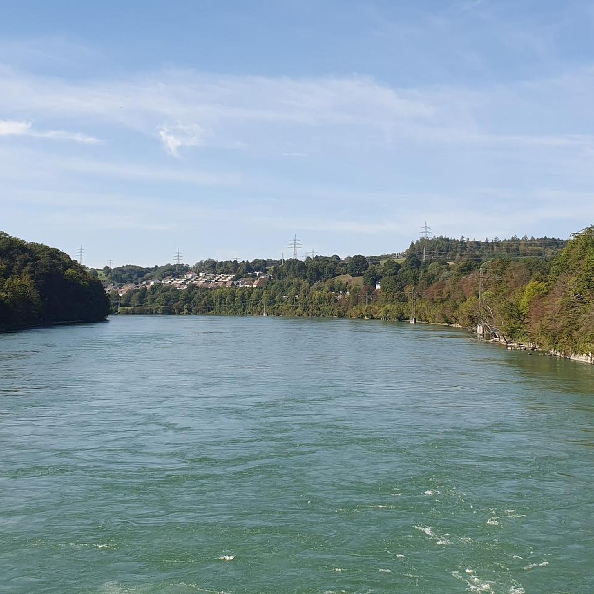
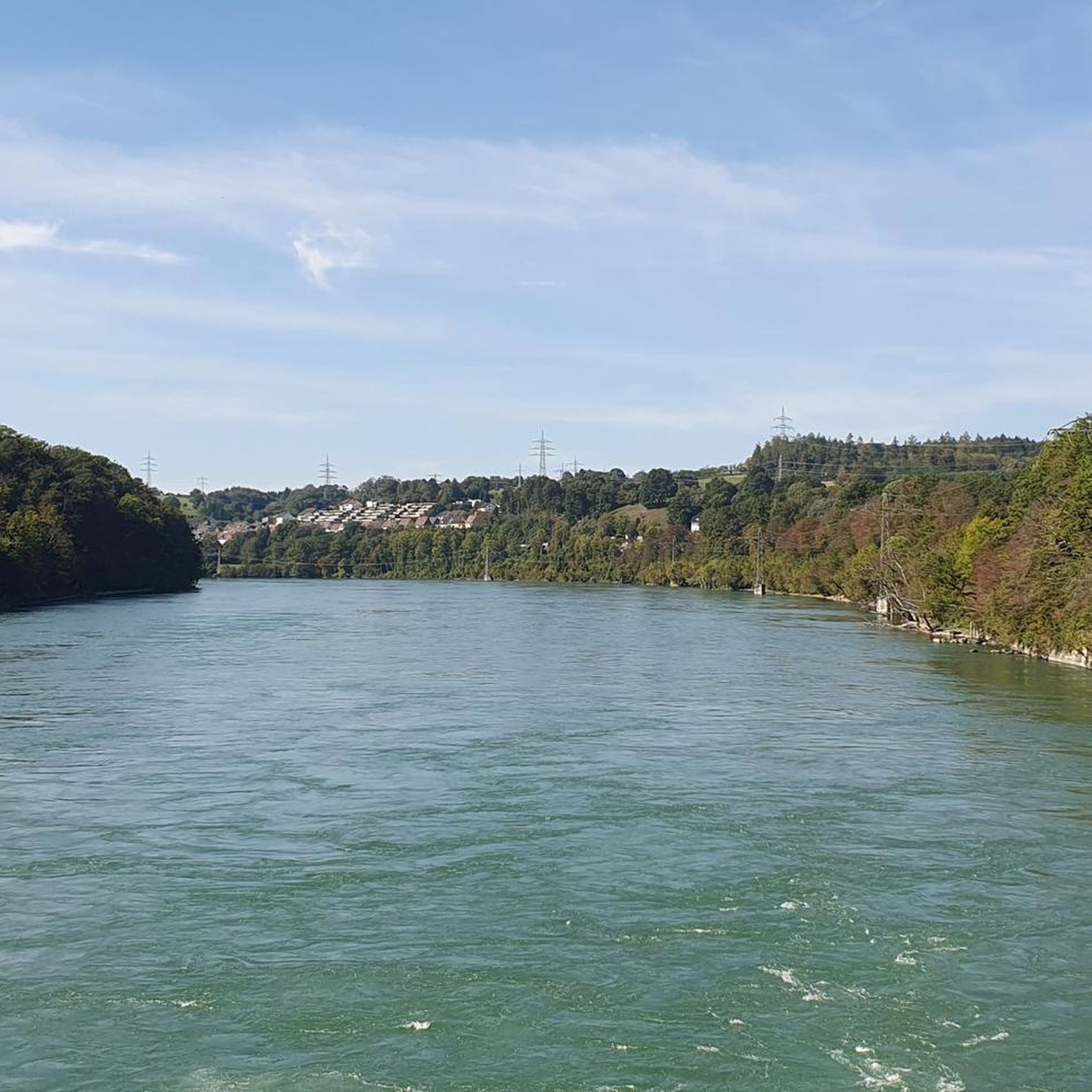
Covered wooden bridge, pedestrian and cycle path bridge.
7
0

relatively narrow cycle path - be careful of oncoming traffic
0
0
Frequently Asked Questions
How many road cycling routes are available around Schwörstadt?
There are over 280 road cycling routes around Schwörstadt, offering a wide variety of options for different skill levels and preferences. You'll find everything from easier valley rides to more challenging routes with moderate climbs.
Are there road cycling routes suitable for beginners in Schwörstadt?
Yes, Schwörstadt offers 37 easy road cycling routes. These routes typically feature gentler terrain, often following river valleys, making them ideal for beginners or those looking for a more relaxed ride.
What kind of terrain can I expect on road cycling routes near Schwörstadt?
The region around Schwörstadt is characterized by a mix of river valleys, rolling hills, and forested sections. You'll encounter routes along the Rhine River, through open agricultural areas, and into the denser woodlands of the Dinkelberg, providing varied scenery and moderate elevation changes.
Are there challenging road cycling routes for advanced cyclists in Schwörstadt?
Absolutely. For experienced cyclists, there are 70 difficult routes available. These often incorporate more significant climbs into the surrounding uplands, such as the Dinkelberg, offering a more strenuous workout and rewarding views.
What do other road cyclists say about the routes in Schwörstadt?
The road cycling routes in Schwörstadt are highly regarded by the komoot community, with an average rating of 4.6 stars from over 700 reviews. Cyclists often praise the varied terrain, scenic river paths, and the well-maintained network of trails.
Are there any circular road cycling routes around Schwörstadt?
Yes, many routes in the area are designed as loops. For example, the Scheideck Pass (541 m) – St. Martin's Church (Wehr) loop from Wehr-Brennet is a popular moderate option that takes you through diverse landscapes.
What are some scenic viewpoints along the road cycling routes in Schwörstadt?
You can find several viewpoints offering panoramic vistas. The Hohe Flum Lookout Tower is a notable highlight, providing extensive views of the surrounding area. Routes like the Ottwanger Straße Scenic View – Dinkelberg Forest Road loop from Beuggen also offer excellent panoramic views, especially through the forested areas of the Dinkelberg.
Are there any historical landmarks or natural monuments to see while road cycling?
Yes, the routes often pass by interesting sites. You could encounter historical landmarks like Schloss Beuggen, or natural monuments such as the Wehra River Mouth Nature Reserve or Sol Rock. The Wiese River Path – Schloss Beuggen loop from Schwörstadt is a good example of a route combining river valleys with historical sites.
What is the best time of year for road biking in Schwörstadt?
The region is generally pleasant for road cycling from spring through autumn. The moderate climate ensures good conditions for most of the year, with spring offering lush greenery and autumn providing vibrant foliage. Always check local weather conditions before heading out.
Are there any cafes or places to stop for refreshments along the road cycling routes?
While specific cafes vary by route, the region has several villages and towns where you can find refreshment stops. Some routes might even pass by huts or mountain inns, such as the Gersbacher Hörnle Mountain Inn, offering opportunities for a break and a meal.
Can I find routes that combine river paths with other landscapes?
Many routes in Schwörstadt offer this combination. For instance, the Liestal City Gate (Törli) – Schloss Beuggen loop from Beuggen features scenic sections along the river while also exploring other parts of the landscape, including historical landmarks.
Are there any routes that go through the Dinkelberg area?
Yes, the Dinkelberg is a prominent feature in the region. Routes like the Ottwanger Straße Scenic View – Karsau–Nordschwaben Cycle Path loop from Wehr traverse through forested areas of the Dinkelberg, offering a different cycling experience with more elevation.
Most popular attractions around Schwörstadt

Get inspired with the komoot mobile app


Explore more
Browse the best Road cycling routes in other regions.
