The best walks and hikes around Schweringen
4.5
(569)
1,863
hikers
353
hikes
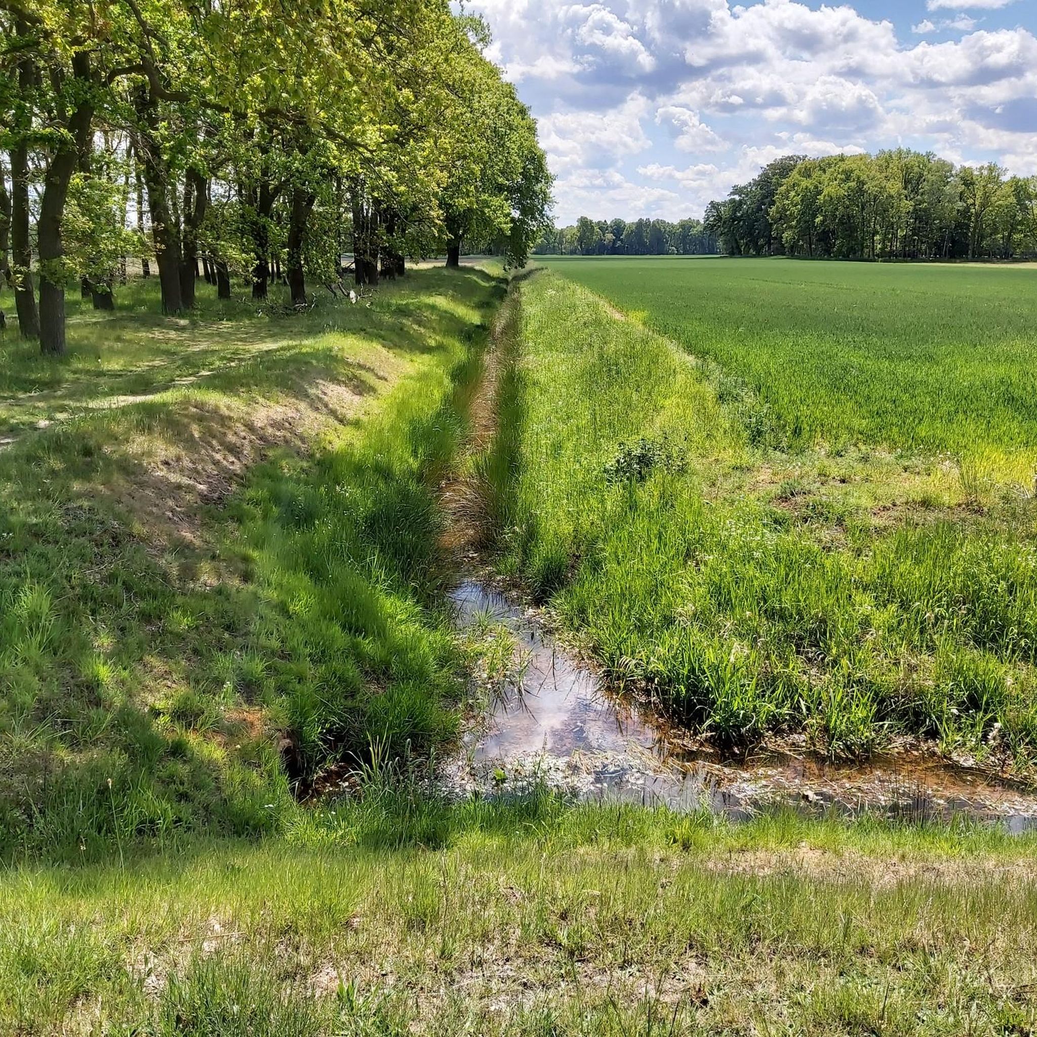
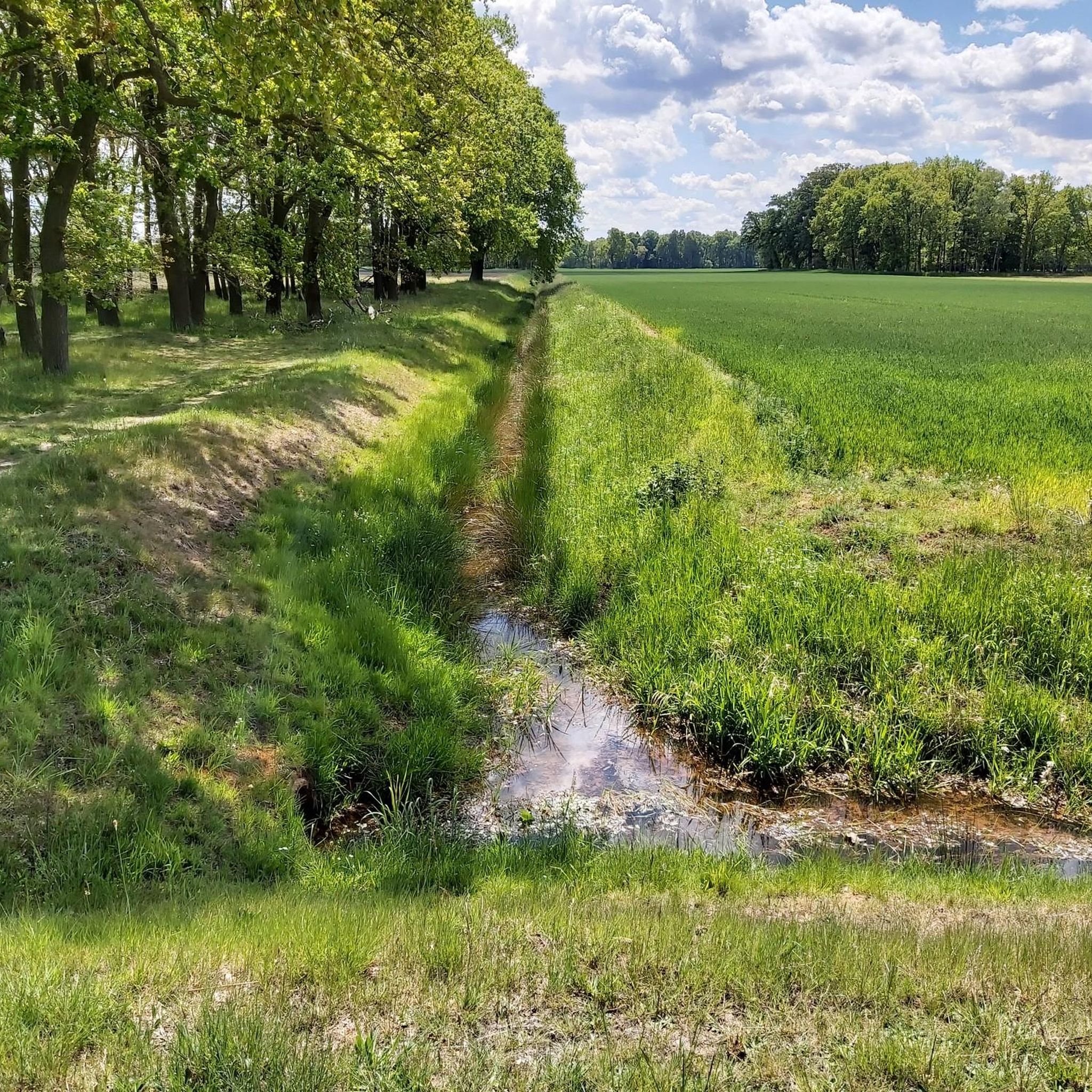
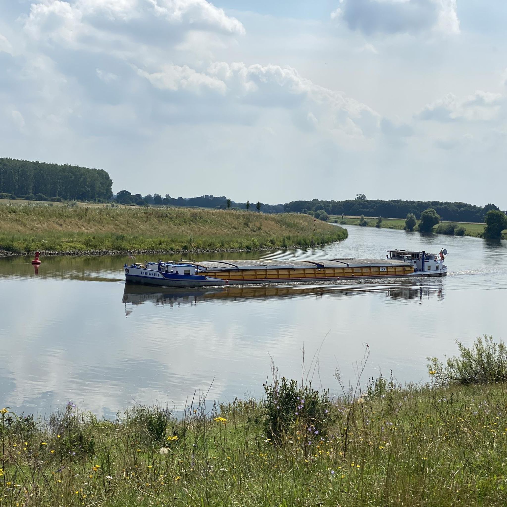
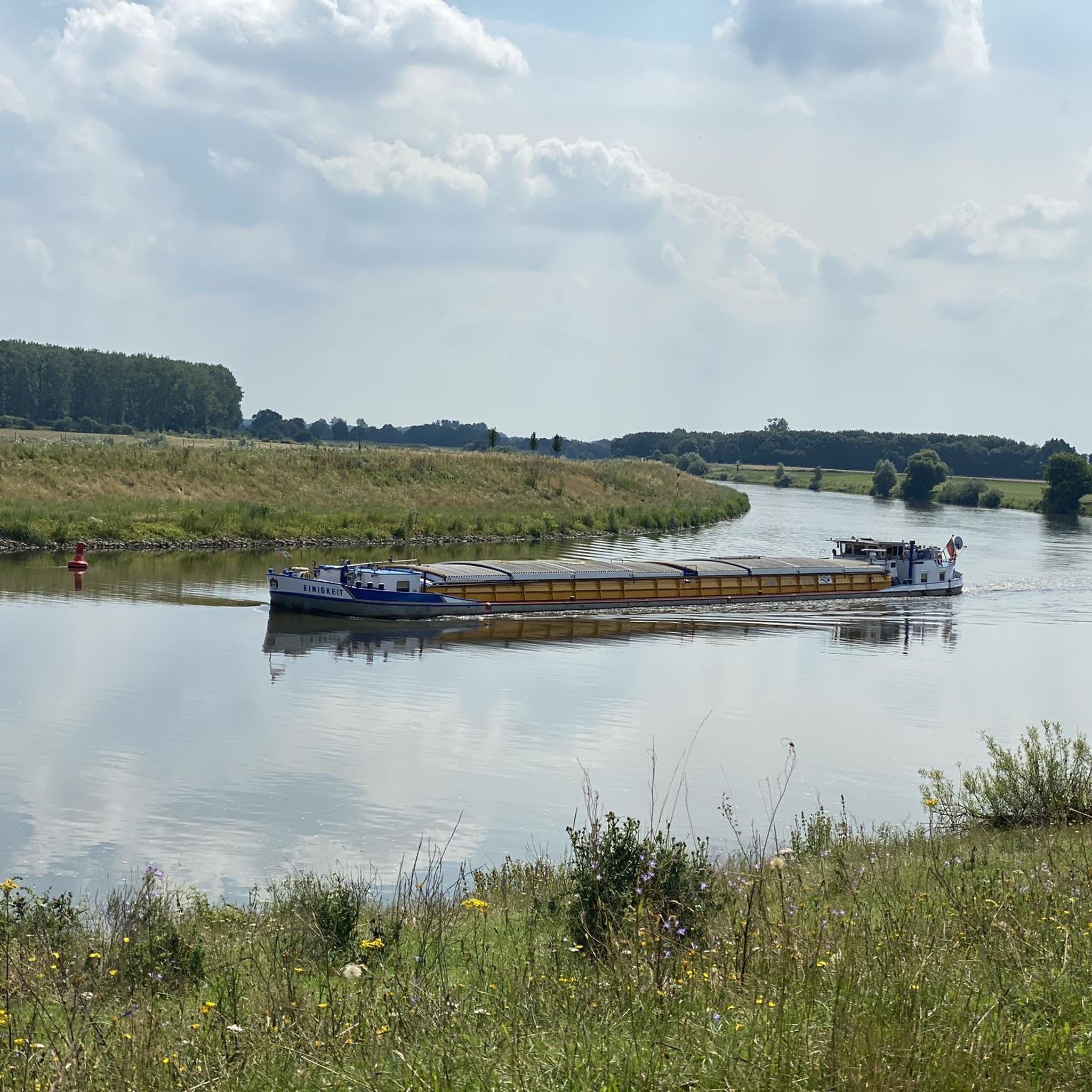
Hiking around Schweringen offers routes through a rural landscape characterized by the Weser River and surrounding rolling hills. The area features a mix of agricultural land and natural spaces, including the "Schwärzetal" Nature Reserve and forested areas like the Schweringer Wald. Trails generally present low elevation changes, making them accessible for various hiking abilities.
Best hiking trails around Schweringen
- The most popular hiking route is Schweringer Wald Shelter – Hiking Stone No. 16 by the bench loop from Warpe,…
Last updated: November 1, 2026
3.5
(2)
4
hikers
Easy hike. Easily walkable paths.
5.0
(1)
2
hikers
5.74km
01:27
10m
10m
Easy hike. Easily walkable paths.

3
hikers
12.9km
03:16
20m
20m
Moderate hike. Good fitness required. Easily walkable paths.
2
hikers
Moderate hike. Good fitness required. Easily walkable paths.
3
hikers
3.96km
01:00
10m
10m
Easy hike. Easily walkable paths.
Get access to more routes and recommendations from other explorers.
Already have an account?
Our route recommendations are based on thousands of hikes, rides, and runs completed by other people on komoot.
Start today with a free account
Your next adventure awaits.
Tips from the Community

Best with a hot cocoa, just sit down and relax
1
0

A little info from the internet: The artist Pablo Hirndorf has lived in Warpe for many years. In 2009 he got a new neighbor: the author Bert Strebe had moved to the town. At the end of 2010, Bert Strebe put seven poems in Pablo Hirndorf's mailbox, a cycle entitled "The House of the Sun." Strebe's idea was to combine his texts with another art form and create something new from them. Pablo Hirndorf read the poems. His imagination began to work. He designed a house. A round, dome-shaped building made primarily of natural materials, with a light tower in the middle. "The House of the Sun" is a walk-in sculpture, a space for pictures and words.
1
1

Please note that the House of the Sun is not open all year round. Opening times from 10 a.m. to 5 p.m. from 15.04. until 15.10. Unfortunately we couldn't see it from the inside
1
0

In 2012, the Haus der Sonne was built in the immediate vicinity of the studio, in a strip of forest on Kreisstraße 148. A walk-in sculpture inspired by the poetry cycle of the same name by the author Bert Strebe. A round, dome-shaped building made largely of natural materials, with a light tower in the centre. A space for images and words.
4
0

unfortunately no longer allowed to swim
1
0

Sculpture "House of the Sun" Artists Pablo Hirndorf, Warpe and Bert Strebe, Hanover The walk-in sculpture “The House of the Sun” is based on Bert Strebe's cycle of poems of the same name. It is not only a house for these poems, but also for pictures and conversations. It fits into the surrounding nature, and it also changes constantly like this nature. (from: "Skuplturenweg Warpe", Tourist Information Grafschaft Hoya)
4
0


The stone is at the right foot of the bench
0
0
Frequently Asked Questions
What is the typical terrain and difficulty level for hiking in Schweringen?
Hiking in Schweringen is characterized by a rural landscape with generally low elevation changes, making most trails accessible. The region offers a mix of easy and moderate sections, with over 230 easy routes and more than 110 moderate routes. Only a small number of trails are considered difficult, ensuring options for various fitness levels.
Are there any family-friendly hiking trails in Schweringen?
Yes, Schweringen offers options suitable for families. The "Schweringen Adventure Trail" is specifically designed for children, featuring exciting stations like climbing frames, tree houses, and balancing ropes to engage young explorers playfully. While not explicitly listed in the guide data, many of the easy, low-elevation routes are also suitable for families.
What natural features can I expect to see while hiking in Schweringen?
The hiking trails in Schweringen are defined by the picturesque Weser River and its surrounding rolling hills. You'll encounter a mix of agricultural land and natural spaces. The nearby "Schwärzetal" Nature Reserve is a significant natural feature, offering a chance to discover rare plant and animal species amidst untouched beauty.
Are there any circular hiking routes available in Schweringen?
Yes, many of the trails in Schweringen are designed as loops. For example, the Hiking loop from Warpe is an easy 3.1 miles (5.0 km) path, ideal for a gentle walk. Another popular option is the Haus der Sonne Sculpture – Rünkemeyer Holzsporte loop from Warpe, which covers 10.0 miles (16.0 km) through varied rural scenery.
What are some interesting landmarks or attractions to see near the hiking trails?
Several interesting landmarks and attractions are located near Schweringen's hiking routes. You can experience the unique Weser Ferry Schweringen, a historic cable ferry. Other points of interest include the Weser bridge in Hoya and the impressive Collegiate Church of St. Materniani and St. Nicolai (Bücker Dom), offering cultural insights.
What is the best time of year to go hiking in Schweringen?
The best seasons for hiking in Schweringen are spring and autumn. During these times, the weather is pleasantly mild, and the natural surroundings display beautiful colors, from the first blossoms in spring to the warm red hues of autumn leaves. While winter hiking is possible, spring and autumn offer the most scenic and comfortable conditions.
Are there any viewpoints along the hiking trails in Schweringen?
While the region is characterized by low elevation, there are opportunities for scenic views. The Wiedesee Observation Tower is a notable highlight that provides elevated perspectives over the surrounding landscape, particularly near the lakes around Schweringen.
How long do hiking routes in Schweringen typically take to complete?
Hiking routes in Schweringen vary in length and duration. Shorter, easy paths like the Hiking loop from Warpe (3.1 miles / 5.0 km) can take around 1.5 hours. Longer moderate routes, such as the Schweringer Wald Shelter – Hiking Stone No. 16 by the bench loop from Warpe (6.2 miles / 10.0 km), typically take about 2.5 hours.
What do other hikers say about the trails in Schweringen?
The hiking routes in Schweringen are highly rated by the komoot community, with an average score of 4.6 stars from over 400 reviews. Hikers often praise the quiet, rural landscapes, the well-maintained paths, and the accessibility of the trails for various abilities. Over 1,800 hikers have used komoot to explore the area.
Is public transport available to reach hiking trails in Schweringen?
The region around Schweringen is primarily rural. While specific public transport links directly to trailheads are not detailed, it's advisable to check local bus schedules for connections to Schweringen or nearby villages like Warpe, from where many trails originate. The area is generally more accessible by car.
Are there any cafes or pubs near the hiking trails in Schweringen?
Schweringen is a small, idyllic village. While specific cafes or pubs directly on the trails are not highlighted, you can typically find local establishments in the village center or nearby towns like Hoya. It's recommended to check local listings for current opening times and availability before your hike.
What kind of landscapes will I see on a hike like the Weser bridge in Hoya loop?
The Weser bridge in Hoya – Promenade Playground loop from Bücken offers views of the Weser River and its banks, characteristic of the region. This 9.6 km (6.0 miles) moderate route provides a mix of riverside scenery and glimpses into the surrounding rural landscape, including the town of Hoya.
Most popular routes around Schweringen
Most popular attractions around Schweringen

Get inspired with the komoot mobile app


Explore more
Browse the best Hikes in other regions.
