Attractions and Places To See around Scalepranu/Escalaplano - Top 20
Best attractions and places to see around Scalepranu/Escalaplano, a municipality in the province of South Sardinia, Italy, offers a diverse range of sites. The region is situated on a plateau between the Flumendosa and Flumineddu valleys, providing varied natural landscapes. Visitors can explore archaeological heritage, including ancient Nuraghi and Domus de Janas, alongside natural features like waterfalls and unique rock formations. The area combines historical significance with opportunities for outdoor exploration.
Best attractions and places to see around Scalepranu/Escalaplano
- The…
Last updated: July 28, 2026
Sa Brecca de Is Tapparas
Highlight (Segment) • Canyon
Translated by Google •
Tip by

Ex-Military Provincial Road of the Salto di Quirra
Highlight (Segment) • Trail
Translated by Google •
Tip by

Sign up now to discover places like this
Get recommendations on the best single tracks, peaks, & plenty of other exciting outdoor places.
Sign up for free
Lake Mulargia
Highlight • Lake
Translated by Google •
Tip by

Scenic Road to Villasalto
Highlight (Segment) • Trail
Translated by Google •
Tip by

Sacred Well of Funtana Coberta
Highlight • Historical Site
Translated by Google •
Tip by

Sign up for free to discover even more attractions around Scalepranu/Escalaplano.
Sign up for free
Already have an account?
Start today with a free account
Your next adventure awaits.
Login or Signup



Tips from the Community

It is one of the most famous, interesting, and intact of the approximately thirty Nuragic well-temples where the water cult was practiced: the name "covered well" itself expresses its function and excellent state of preservation. Three kilometers from Ballao, a town in the historic region of Gerrei – along Provincial Road 13, which leads from the town to Escalaplano – lies the sacred well of Funtana Coberta, nestled in a green valley floor, enclosed to the east by a small hill. The entire building, ten and a half meters long, was constructed from irregular, roughly hewn limestone blocks of uniform thickness, carved on the exposed side. The floor plan is unusual: two wings of different lengths create an atrium whose original flooring is still visible. As is common with sacred wells, the monument is divided into three parts: on the surface, the small outdoor atrium (or vestibule), rectangular and almost two meters wide; an access staircase with twelve narrow steps, well crafted and covered with a stepped ceiling composed of twelve sloping architraves that fit into the walls and echo the shape of the underlying steps leading down to the floor of the tholos chamber; more precisely, the tholos chamber was built in the shape of a small nuragic: it is a semi-subterranean chamber with an almost circular plan, three and a half meters wide at the bottom and covered by a false dome five and a half meters high. Noteworthy is the construction of the dome, surrounded by a drum wall, to which a projecting body is attached that delimits the access staircase and the two wings of the atrium in antis. Also noteworthy is the slight curvature of the walls, almost as if to 'invite' the faithful into the interior of the temple. The floor is made of limestone slabs carefully arranged in a radial pattern. Here is the well shaft, dug into the rock, five meters deep, and covered with 36 rows of stones, with an average opening of one meter wide, from which the water spring flows. Source and further information: https://www.sardegnaturismo.it/it/esplora/funtana-coberta
0
0

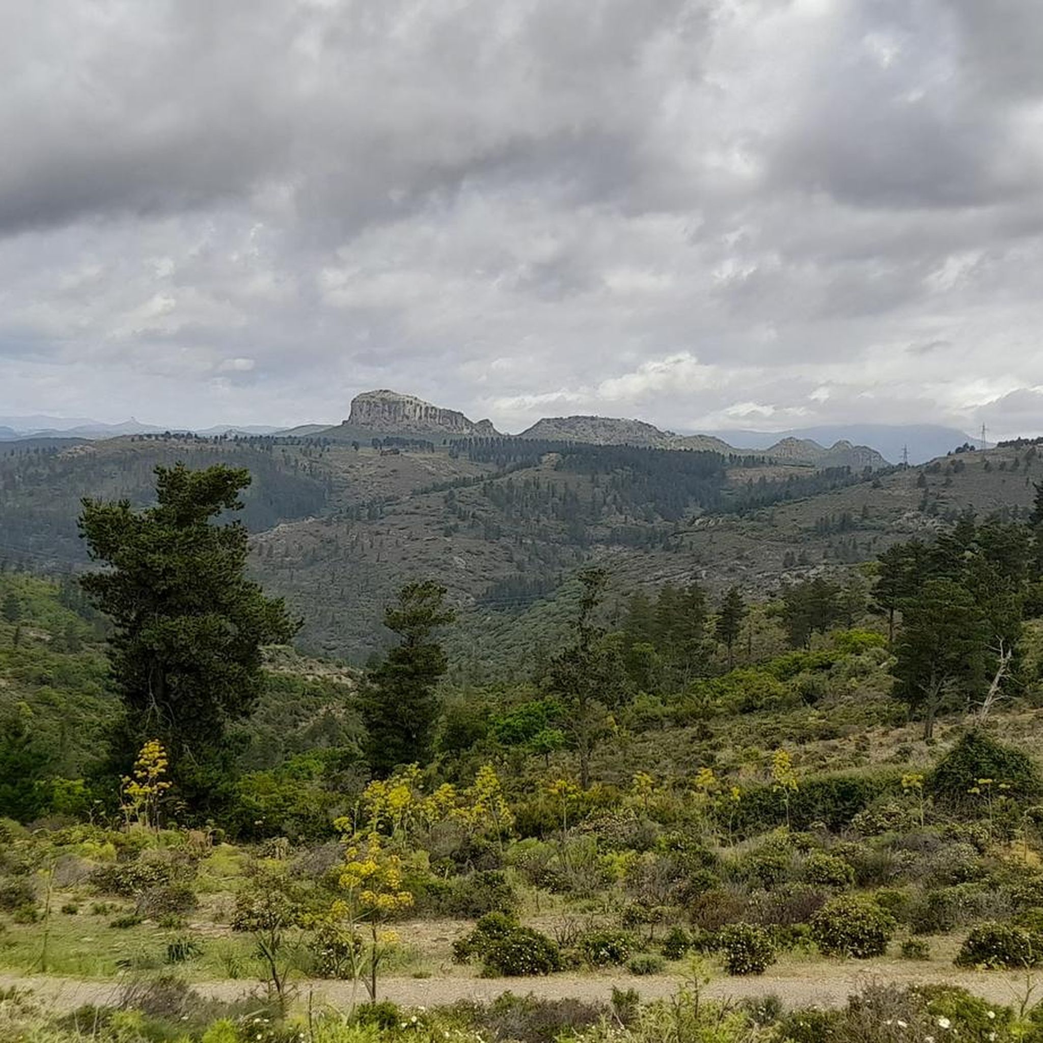
If done uphill it's a punch in the stomach, with gradients often close to or above double figures that last for the first 8 km of the segment. Wonderful landscapes, often against the wind. Once you reach the top, there are small climbs left which, compared to the one just completed, seem almost ridiculous. After a considerable descent, the last 4 km leading up to the military range are permeated by the smell of wild rosemary, which makes the uphill efforts more pleasant and bearable
3
0

Nice artificial lake dating back to the 1950s. It is located not far from Sanluri, about 40km and is generated by the dam of the Rio Mulargia.
1
0

Lake created in the 50s which draws mainly from the Fiumendosa. Of fundamental importance to ensure water in Cagliari and neighboring cities. It is possible to make excursions by boat with scheduled departures from both Siurgus Donigala and Orroli
3
0
Lake created in the 50s which draws mainly from the Fiumendosa. Of fundamental importance to ensure water in Cagliari and neighboring cities. It is possible to make excursions by boat with scheduled departures from both Siurgus Donigala and Orroli
1
0
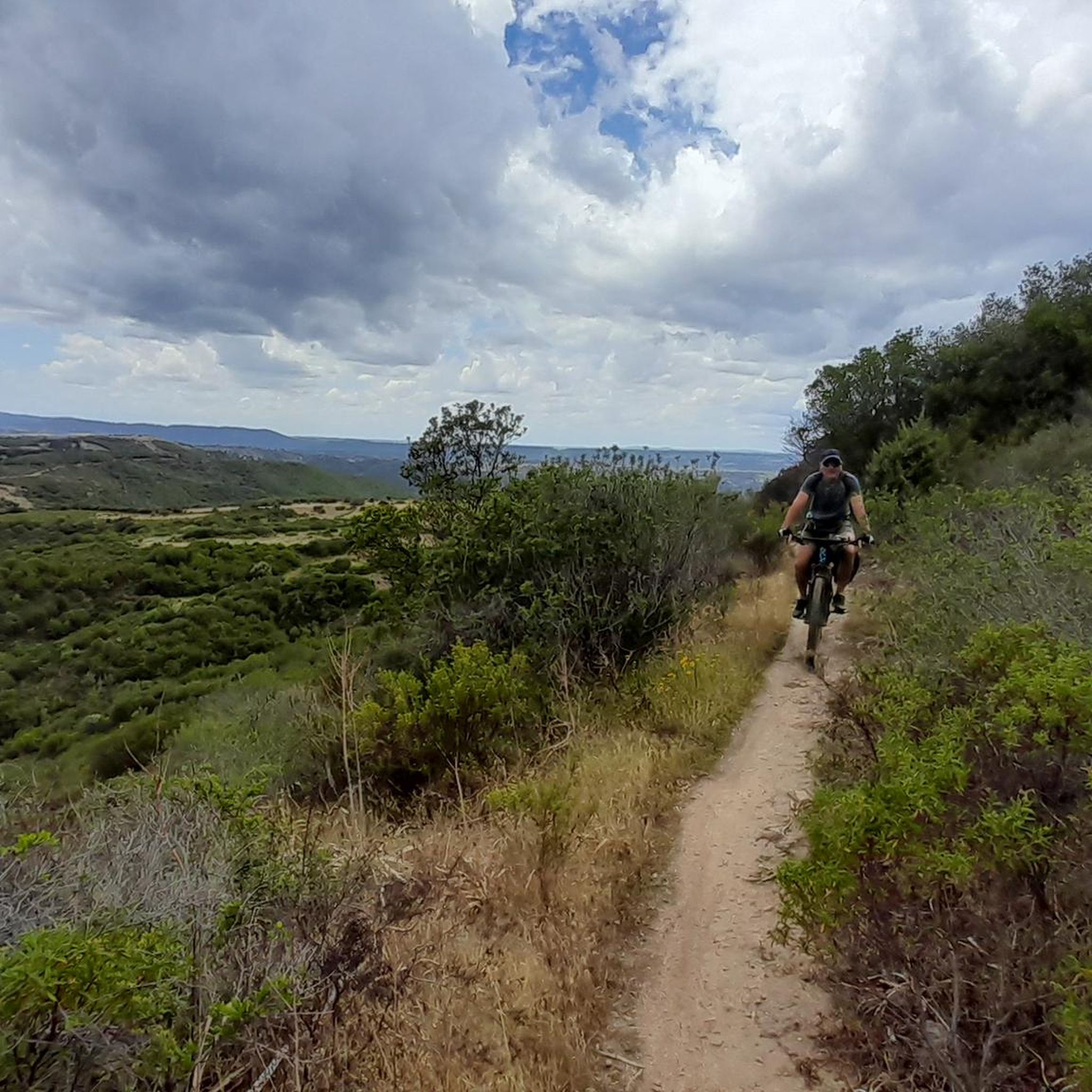
Beautiful winding road that leads (uphill) to Villasalto, vice versa it will be a fun descent!
0
0

Hardly accessible via long overgrown paths, here the Brecca de is Tapparas penetrates as a deep crevice into the crumbly ground. 500 m long, 30 m deep and no more than 2 m wide, the path leads through a cool channel that inspires. Why this highlight is so deserted cannot be explained, because such narrow gorges are usually very sparse and therefore all the more interesting.
3
1

Inside the Bruncu Santoru di Perdasdefogu natural park, after making contact with the pro loco of the town to arrange a visit along this natural canyon
1
0
Frequently Asked Questions
Where is Scalepranu/Escalaplano located?
Scalepranu, also known as Escalaplano, is a municipality situated in the province of South Sardinia, Italy. It lies on a plateau nestled between the Flumendosa and Flumineddu valleys, offering a diverse landscape.
What historical and archaeological sites can I visit in Escalaplano?
The region is rich in ancient history. You can explore several pre-Nuragic burial sites known as Domus de Janas, such as those at Fossada and Serrioni. Numerous Nuraghi, ancient megalithic edifices, are also scattered across the territory, including Nuraghi Fumia and San Giovanni. A significant site is the Sacred Well of Funtana Coberta, one of Sardinia's best-preserved Nuragic well-temples dedicated to the cult of water.
Are there any cultural attractions in Escalaplano?
Yes, Escalaplano offers cultural insights. You can visit the Parish Church of San Sebastiano, a 17th-century church in the historic center featuring Renaissance architecture. The Monte Granatico, an old grain storage building, showcases traditional stone architecture. Additionally, the Museo Etnografico "Sa Domu de is Ainas" in the Palazzo Comunale houses collections related to local traditions, agriculture, and crafts.
What natural attractions are there to explore around Escalaplano?
Escalaplano boasts several natural wonders. The Abellada Waterfall is a spectacular 30-meter-high cascade, particularly impressive in winter and spring. You can also visit Sa Brecca de Is Tapparas, a deep, narrow crevice offering a unique, cool passage. The Flumendosa and Flumineddu Valleys themselves provide picturesque landscapes with cork oak forests.
Are there any unique natural formations or viewpoints?
Absolutely. Sa Brecca de Is Tapparas is a remarkable natural crevice, 500 meters long and up to 30 meters deep, offering an inspiring and cool passage. Another unique spot is Sa Trona, a flat sandstone rock that extends over a void, providing excellent panoramic views of the Sarrabus-Gerrei region and surrounding mountains.
Are there family-friendly activities or attractions in the area?
Yes, Lake Mulargia is a family-friendly attraction. This artificial lake, created in the 1950s, is important for water supply and offers boat excursions with scheduled departures from nearby towns. It's a great spot for a relaxing day out on the water.
What kind of outdoor activities can I do around Escalaplano?
The region offers various outdoor activities, including hiking and cycling. You can explore challenging trails like the Ex-Military Provincial Road of the Salto di Quirra, which offers wonderful landscapes. There are also scenic routes like the Scenic Road to Villasalto, perfect for cycling. For more detailed route information, you can check out the hiking guide or the cycling guide for the area.
Are there hiking trails suitable for different skill levels?
Yes, there are hiking trails for various skill levels. For example, the "Sa Brecca de Is Tapparas loop from Foghesu/Perdasdefogu" is rated as easy, while other routes like "Nuraghe Goni – Domus de Janas loop from Goni" are moderate. You can find more options and details in the Hiking around Scalepranu/Escalaplano guide.
Can I go cycling around Escalaplano?
Absolutely! Escalaplano and its surroundings offer excellent cycling opportunities. You can find challenging road cycling routes like the "Lago di Mulargia Loop" or the "Ring of the Lower Lake of the Fiumendosa River from Orroli." For more general cycling, routes like "Arrolli/Orroli loop from Nurri" are available. Explore detailed routes in the Road Cycling Routes guide or the Cycling around Scalepranu/Escalaplano guide.
What do visitors enjoy the most about the attractions in Scalepranu/Escalaplano?
Visitors appreciate the unique natural features and the sense of discovery. For instance, the Sa Brecca de Is Tapparas is noted for its inspiring, cool channel. The Ex-Military Provincial Road of the Salto di Quirra is praised for its wonderful landscapes despite challenging gradients. The area's blend of historical significance and opportunities for outdoor exploration is highly valued.
When is the best time to visit Escalaplano's attractions?
The Abellada Waterfall is particularly spectacular during winter and spring when water flow is significant. Generally, spring and autumn offer pleasant temperatures for exploring the archaeological sites and natural landscapes. Summers can be hot, while winters are mild but can bring more rain, which enhances natural features like waterfalls.
Most popular routes around Scalepranu/Escalaplano
Most popular attractions around Scalepranu/Escalaplano

Get inspired with the komoot mobile app


Explore more
Still not found the Highlight you’re looking for? See guides of the top attractions in other regions:
