The best road cycling routes around Schwarzenberg/Erzgebirge
4.7
(341)
3,858
riders
49
rides
Road cycling around Schwarzenberg/Erzgebirge offers diverse landscapes within the Erzgebirge/Vogtland Natural Park. The region features rolling hills, dense forests, and picturesque valleys, providing varied terrain for cyclists. Elevations range from approximately 428.5 to 823 meters above sea level, with routes often including significant elevation gains through mountain passes. The Schwarzwasser and Mittweida Rivers also contribute to the scenic beauty of the area.
Best road cycling routes around Schwarzenberg/Erzgebirge
- The most popular road cycling route is Fichtelberg Weather Station – Fichtelberg…
Last updated: July 28, 2026
4.3
(6)
154
riders
64.2km
03:14
1,060m
1,060m
Hard road ride. Very good fitness required. Mostly well-paved surfaces and easy to ride.
4.6
(5)
73
riders
48.8km
02:24
670m
670m
Moderate road ride. Good fitness required. Mostly well-paved surfaces and easy to ride.

Sign up for free
5.0
(1)
61
riders
Hard road ride. Very good fitness required. Some segments of this route may be unpaved and difficult to ride.
5.0
(1)
44
riders
74.2km
03:39
1,070m
1,070m
Hard road ride. Very good fitness required. Some segments of this route may be unpaved and difficult to ride.
5.0
(1)
34
riders
94.0km
05:06
1,880m
1,880m
Hard road ride. Very good fitness required. Mostly well-paved surfaces and easy to ride.
Get access to more routes and recommendations from other explorers.
Sign up for free
Already have an account?
Our route recommendations are based on thousands of hikes, rides, and runs completed by other people on komoot.
Start today with a free account
Your next adventure awaits.
Login or Signup
Popular around Schwarzenberg/Erzgebirge
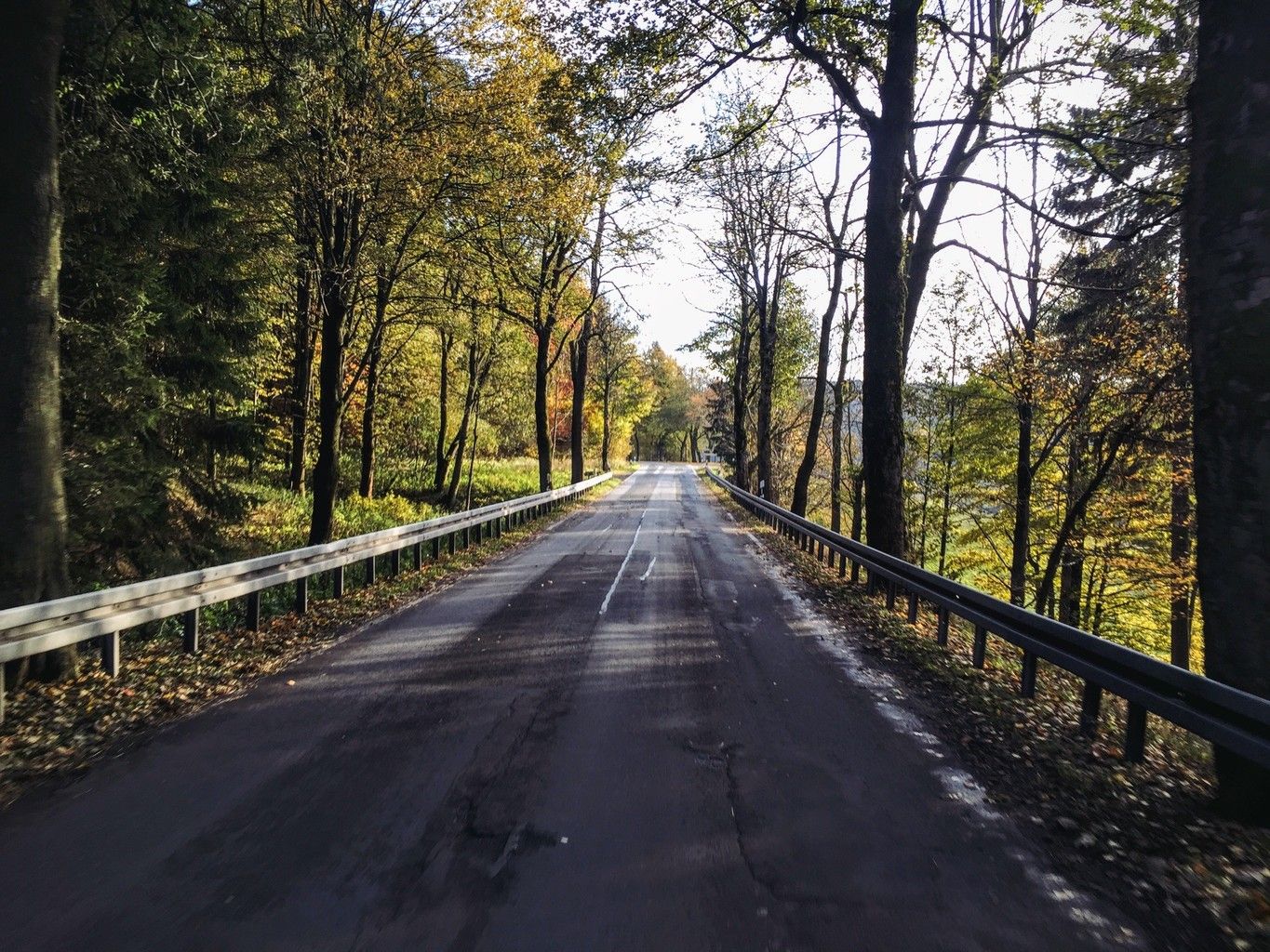
Weekend tours in the Ore Mountains

Hiking with heart in the Ore Mountains
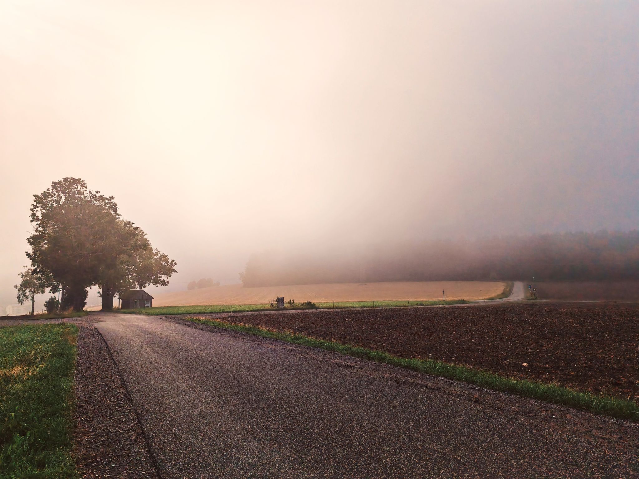
Wonderful Silberberg – Day Tours to the Digital Hiking Badge with SummitLynx

Triathlon around Germany

Digitale Wandernadel
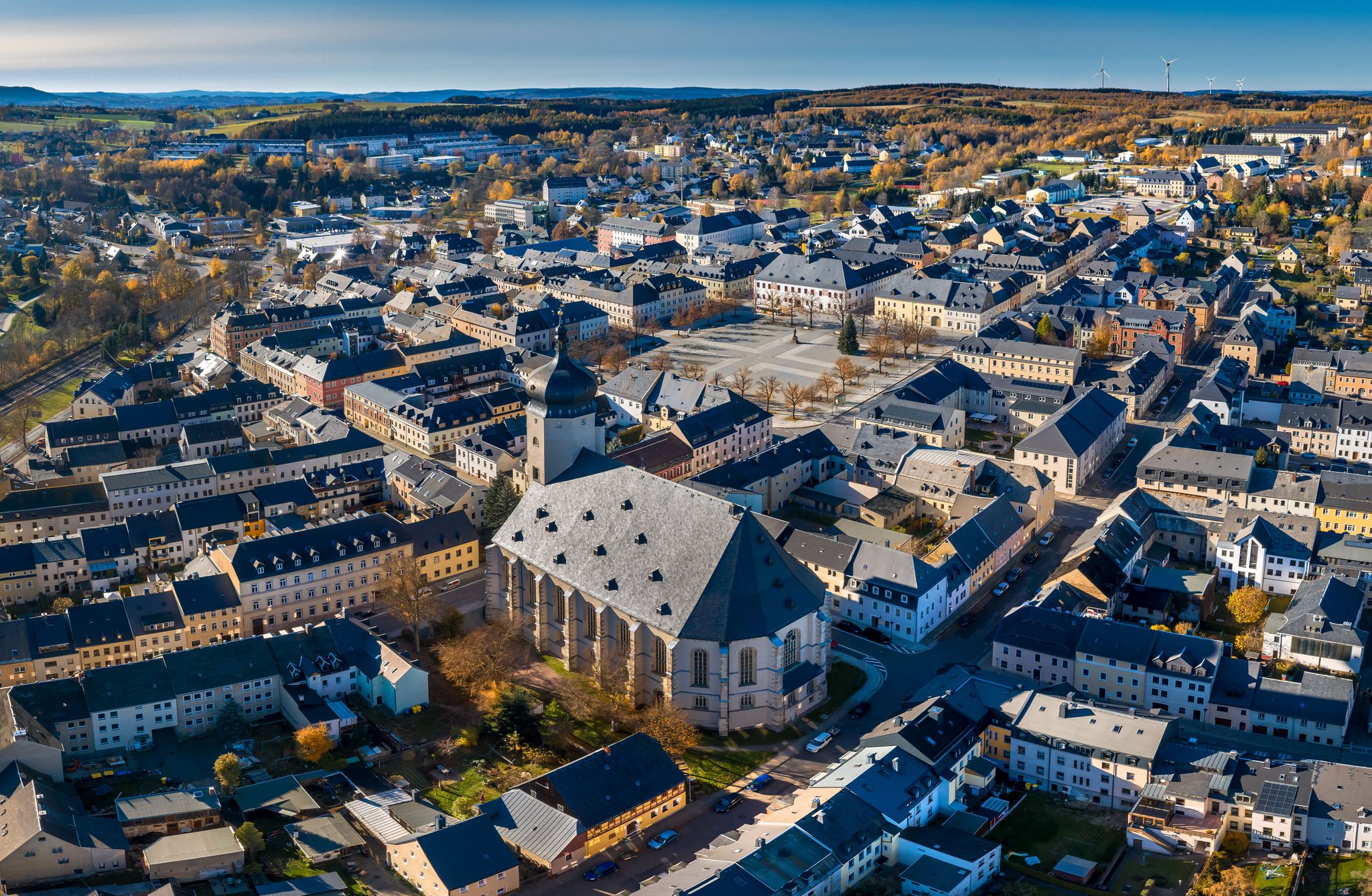
Wandertouren - "Glück Auf" im Welterbe

Wandertouren - Gipfelglück
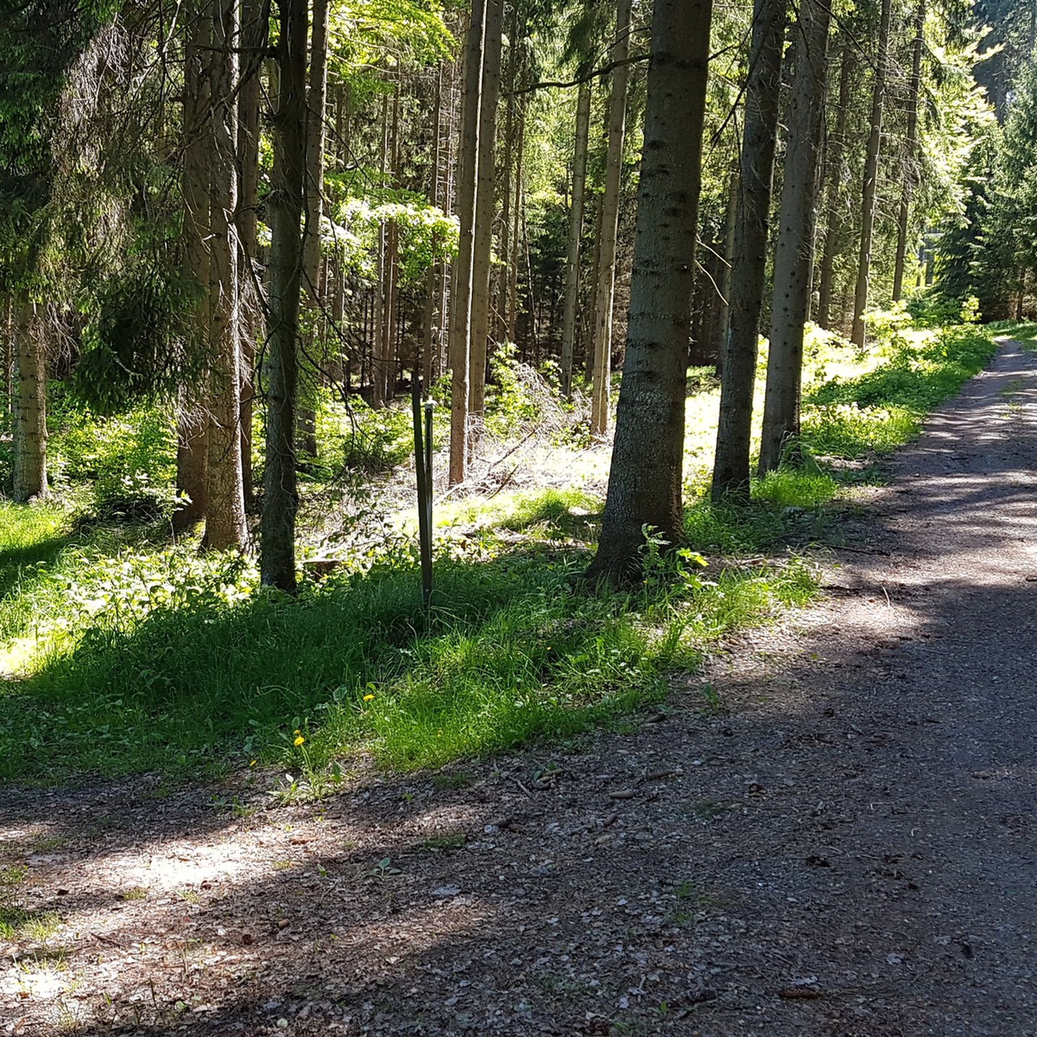
Hiking around Schwarzenberg/Erzgebirge
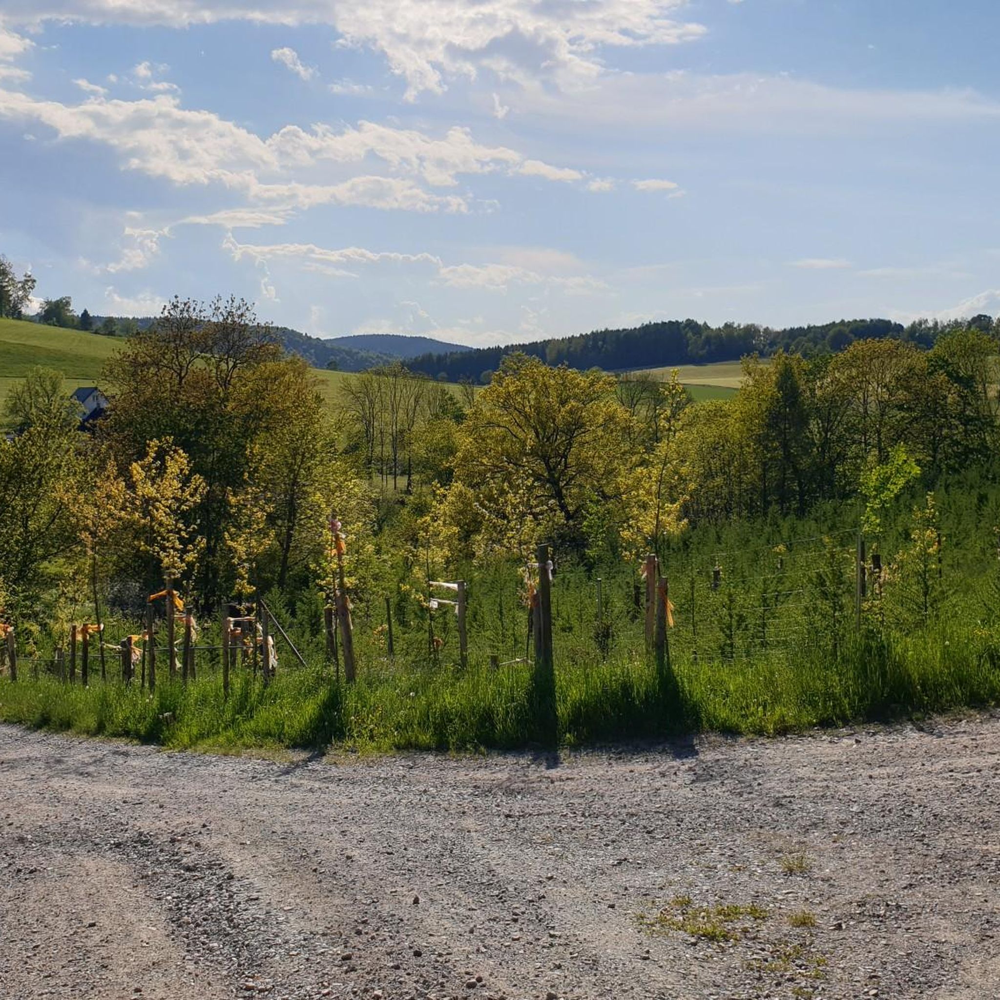
Cycling around Schwarzenberg/Erzgebirge
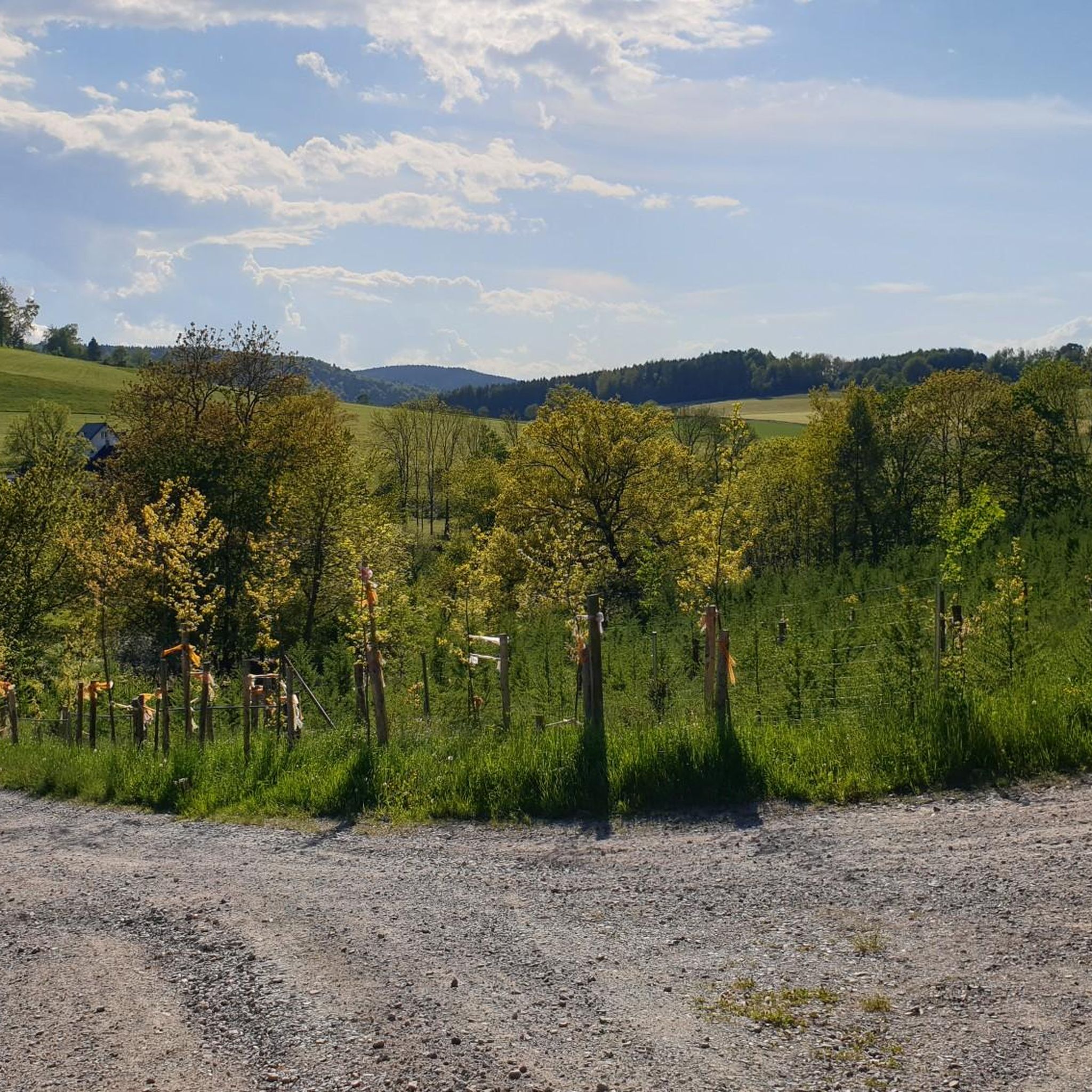
MTB Trails around Schwarzenberg/Erzgebirge
Other adventures around Schwarzenberg/Erzgebirge


Tips from the Community


the town of Elterlein. Beautifully decorated with fountains and flowers
1
0

With every step, closer to the summit – the Fichtelberg climb on the Stoneman Miriquidi Road. From the intersection, it's not far anymore, and motivation gets a final boost.
1
0

The first weather observer on this summit was the innkeeper of the Fichtelberghaus. He recorded his weather observations from 1890 onwards, but from 1898 onwards only intermittently, and from 1910 onwards not at all. The head of the Royal Saxon State Meteorological Observatory, Paul Schreiber, suggested the construction of a permanent weather observatory. Temperature, wind speed, and precipitation amounts have been continuously recorded here since January 1, 1916. The strongest storm recorded here was on January 3, 1976, with a peak gust speed of 216 kilometers per hour. The coldest day on the summit was February 9, 1956, with minus 30.4 degrees Celsius; the warmest was July 27, 1983, with plus 30.8 degrees Celsius. The highest snow cover was measured in March 1944: 3.35 meters. The year 1951 was bad for Fichtelberg tourists: it held the record for foggy days with 315.
13
1

If you're doing the Stoneman, this is your first short detour to the Czech Republic. The EU makes it easy 🇪🇺🙂
0
0

The station is located on the summit next to the Fichtelberghaus, but is not accessible.
5
0

good and car-free alternative from Lauter to Schwarzenberg
0
0
Frequently Asked Questions
What kind of terrain can I expect on road cycling routes around Schwarzenberg/Erzgebirge?
The region is characterized by rolling hills, dense forests, and picturesque valleys, offering varied terrain. Elevations typically range from approximately 428.5 to 823 meters above sea level, meaning you'll encounter plenty of opportunities for both challenging ascents and exhilarating descents on well-paved surfaces.
Are there challenging road cycling routes in Schwarzenberg/Erzgebirge?
Yes, Schwarzenberg/Erzgebirge offers several challenging road cycling routes. For instance, the Fichtelberg Weather Station – Fichtelberg Ascent loop from Schwarzenberg/Erzgebirge is a difficult 63.3 km route with over 1,000 meters of elevation gain, including a significant climb towards Fichtelberg. Overall, 23 of the 55 available routes are classified as difficult.
Are there easier road cycling options for beginners or those seeking a moderate ride?
Absolutely. While the region has challenging climbs, there are also many moderate options. For example, the Schwarzenberg Castle – Zwönitz Market Square loop from Erla is a moderate 48.8 km path offering scenic views without extreme difficulty. In total, 31 of the 55 routes are rated as moderate, and there is even 1 easy route available.
What natural features will I encounter on road cycling routes in the region?
You'll traverse through thick forests of sycamore, aspen, and wild cherry, along with tranquil valleys. Notable natural features include the scenic Schwarzwasser and Mittweida Rivers, and routes often provide views towards prominent peaks like Fichtelberg and Auersberg, which offer stunning panoramic vistas.
Are there any historical or cultural landmarks to see while road cycling?
Yes, the region is rich in history. The town of Schwarzenberg itself boasts a preserved Old Town with picturesque alleys and buildings, including Schwarzenberg Castle and St. Georgen Church. The Bergbaulandschaft Rother Berg and Herrenhof Erlahammer, part of the UNESCO World Heritage Montanregion Erzgebirge/Krušnohoří, showcase the area's rich mining heritage.
When is the best time of year for road cycling in Schwarzenberg/Erzgebirge?
The best seasons for road cycling in Schwarzenberg/Erzgebirge are typically spring and summer. During these months, the weather is generally mild, and nature is in full bloom, providing the most pleasant conditions for exploring the diverse landscapes.
What do other road cyclists enjoy the most about road cycling in Schwarzenberg/Erzgebirge?
The area is highly rated by the komoot community, with an average score of 4.8 stars from over 50 reviews. Cyclists often praise the region's varied terrain, picturesque valleys, and dense forests, which provide engaging experiences for different skill levels. Many appreciate the well-paved surfaces and the significant elevation gains that offer both challenge and reward.
Are there any circular road cycling routes starting from Schwarzenberg/Erzgebirge?
Yes, many routes in the area are designed as loops. For example, the View of the dam – Glück Auf - To the Peat Cut loop from Schwarzenberg-Neuwelt is a 50.3 km circular trail leading through varied terrain with dam views. Another option is the Talstraße Breitenbrunn–Erla – Schwarzenberg Castle loop from Schwarzenberg - Haltepunkt, a moderate 52.8 km loop.
Can I find routes with significant elevation gain for a challenging workout?
Definitely. The region's topography, with elevations up to 823 meters, ensures plenty of climbing. The Zwickauer Mulde Riverside Path – Hefekloß Pass Summit loop from Schwarzenberg - Haltepunkt is a difficult 75.1 km route featuring over 1,000 meters of elevation gain, perfect for a demanding ride.
What are some interesting points of interest or highlights I might pass on a road cycling tour?
Beyond the main routes, you might encounter various highlights. For instance, the Fichtelberghaus offers a great stop on the highest mountain in Saxony, and the Auersberg Summit and Observation Tower provides another fantastic viewpoint. You could also explore historical mining sites like the Herkules-Frisch-Glück Show Mine.
Are there any specific viewpoints or scenic spots recommended for road cyclists?
Many routes offer breathtaking views, especially those ascending to higher elevations. The Fichtelberg and Auersberg peaks are renowned for their panoramic vistas across the entire Ore Mountains. Additionally, the unique location of Schwarzenberg's Old Town on a rock, with the Schwarzwasser River meandering around it, provides picturesque scenery.
Most popular routes around Schwarzenberg/Erzgebirge
Most popular attractions around Schwarzenberg/Erzgebirge

Get inspired with the komoot mobile app


Explore more
Browse the best Road cycling routes in other regions.
