The best running trails around Iscanu/Scano Di Montiferro
4.1
(23)
585
runners
36
runs
Jogging around Iscanu/Scano Di Montiferro offers a diverse landscape for runners, characterized by its coastal proximity and inland hills. The region features routes that traverse agricultural areas, lead to waterfalls, and offer views of the sea. Runners can expect a mix of terrain, from established paths to more challenging ascents.
Best jogging routes around Iscanu/Scano Di Montiferro
- The most popular jogging route is The Riu Sos Molinos waterfall and Monte Pertosu - Loop tour, a 9.0 miles (14.4 km) trail that takes 1 hour 52 minutes to complete. This difficult route includes a notable waterfall and climbs Monte Pertosu.
- Another top favourite among local runners is Running loop from Agricampeggio Elighes Uttiosos, a difficult 13.2 miles (21.3 km) path. This route offers an extensive loop through agricultural landscapes.
- Local runners also love the Running loop from Tresnuraghes, an 8.2 miles (13.1 km) trail leading through varied terrain around Tresnuraghes, often completed in about 1 hour 26 minutes.
- Jogging around Iscanu/Scano Di Montiferro is defined by coastal views, inland hills, and routes featuring waterfalls. The network offers options for moderate to difficult ability levels.
- The routes in Iscanu/Scano Di Montiferro are highly rated by the komoot community with an average score of 4.2 stars from over 10 reviews. More than 400 runners have used komoot to explore Iscanu/Scano Di Montiferro's varied terrain.
Last updated: August 4, 2026
19
runners
25.4km
03:07
820m
820m
Hard run. Very good fitness required. Sure-footedness, sturdy shoes and alpine experience required.
7
runners
12.1km
01:25
330m
330m
Hard run. Very good fitness required. Mostly paved surfaces. Suitable for all skill levels.

Sign up for free
4.0
(2)
9
runners
7.21km
00:51
230m
230m
Moderate run. Good fitness required. Mostly paved surfaces. Suitable for all skill levels.
8
runners
9.38km
01:07
230m
230m
Moderate run. Good fitness required. Mostly paved surfaces. Suitable for all skill levels.
5.0
(1)
5
runners
11.2km
01:16
270m
270m
Moderate run. Good fitness required. Mostly paved surfaces. Suitable for all skill levels.
Get access to more routes and recommendations from other explorers.
Sign up for free
Already have an account?
Our route recommendations are based on thousands of hikes, rides, and runs completed by other people on komoot.
Start today with a free account
Your next adventure awaits.
Login or Signup
Tips from the Community

Near the Forestas forest complex stands L'Abbraccio, a ceramic art installation created by teachers and students of the Liceo Artistico of Oristano. Inaugurated in June 2022, the work was born as a symbolic response to the devastating fires that struck Montiferru in July 2021: a gesture of rebirth and solidarity with this extraordinary land.
0
0

A town of about 2,500 inhabitants in the province of Oristano, Cuglieri stands on the ruins of the Phoenician-Punic city of Cornus and is today well known for the production of high quality olive oil. Of particular beauty in the municipal territory is the Cabu Nieddu waterfall, at the end of which the water ends up directly in the sea.
0
0

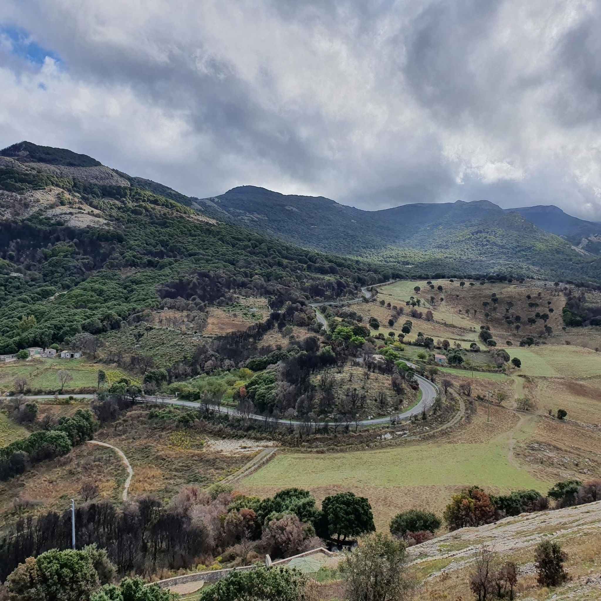
On the slopes of the Entu and Urtigu mountains (the latter is actually better known as "Su Mullone", or "pile of stones" in the local dialect), this panoramic path allows you to see both the green hills of the Montiferru massif, of volcanic origin, which characterizes this whole part of central-western Sardinia.
0
0

This panoramic road offers a splendid view of the Cuglieri village and the Malvasia vineyard area.
1
0

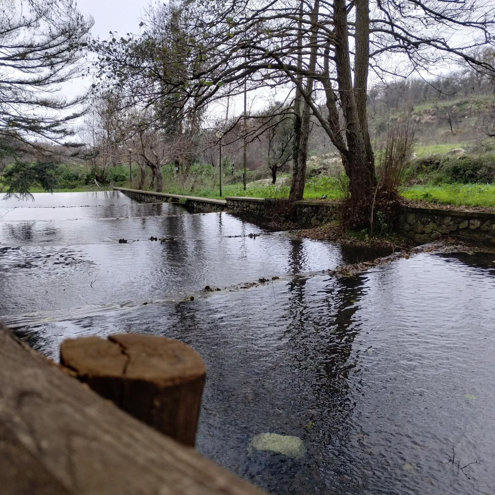
Path only partially cyclable, at least downhill (which still requires a certain amount of portage, as the fairly soft and steep path makes cycling uphill impossible) that leads more safely to the Predas Rujas/Bia Iosso waterfall. To reach the waterfall: leave the bike on the marked path (which starts at the red arrow) and climb over a few rocks, an activity that is not very demanding, before reaching the base of the waterfalls and its pool.
0
0
View of the upper part of the town
2
1

From this point, you have a splendid view of the Sardinian hinterland, especially Montiferru and the surrounding valleys.
0
1
absolute peace, no one is here
0
0
Frequently Asked Questions
What is the general difficulty level of running routes in Iscanu/Scano Di Montiferro?
The running routes in Iscanu/Scano Di Montiferro are primarily suited for moderate to difficult ability levels. There are no easy routes listed, with 24 moderate and 5 difficult routes available for runners seeking a challenge.
Are there any running trails that feature waterfalls in the Iscanu/Scano Di Montiferro area?
Yes, the region is known for its waterfalls. For example, the difficult route The Riu Sos Molinos waterfall and Monte Pertosu - Loop tour includes a notable waterfall. You can also explore highlights like the Sos Molinos Waterfall or the Massabari Waterfalls.
What kind of terrain can I expect on the running paths around Iscanu/Scano Di Montiferro?
Runners in Iscanu/Scano Di Montiferro can expect a diverse landscape. The routes traverse agricultural areas, lead to waterfalls, and offer views of the sea. The terrain varies from established paths to more challenging ascents, often featuring coastal views and inland hills.
Are there many circular running routes available in Iscanu/Scano Di Montiferro?
Many of the running routes in the region are designed as loops. For instance, Running loop from Agricampeggio Elighes Uttiosos and Running loop from Tresnuraghes are popular circular options, allowing you to start and finish at the same point.
What are some interesting landmarks or natural sights to see along the running trails?
Beyond the waterfalls, you can encounter various natural landmarks. Some routes offer views of the sea, while others climb peaks like Monte Pertosu. You might also find highlights such as the IGM Trigonometric Point On Mullone or Monte Sant'Antonio, offering panoramic views.
How long are the running trails in Iscanu/Scano Di Montiferro typically?
The running trails in this region vary in length. For example, Trail Around Su Mullone – View of the Sea loop from Crastu Cariasa is about 8.2 miles (13.1 km), while Running loop from Agricampeggio Elighes Uttiosos extends to 13.2 miles (21.3 km). Most routes range from moderate to longer distances.
What do other runners say about the trails in Iscanu/Scano Di Montiferro?
The running routes in Iscanu/Scano Di Montiferro are highly rated by the komoot community, with an average score of 4.2 stars from over 10 reviews. Runners often praise the varied terrain, coastal views, and the challenge offered by the inland hills.
Are there any specific routes that offer great views of the sea?
Yes, the region's coastal proximity means many routes offer sea views. The Trail Around Su Mullone – View of the Sea loop from Crastu Cariasa is specifically highlighted for its sea views, providing a scenic experience as you run.
Is Iscanu/Scano Di Montiferro suitable for family-friendly running or jogging?
Given that there are no easy routes listed and the trails are predominantly moderate to difficult, Iscanu/Scano Di Montiferro might be more suitable for families with older children or those accustomed to more challenging terrain. It's best to check individual route details for elevation and distance.
What is the best time of year to go running in Iscanu/Scano Di Montiferro?
Iscanu/Scano Di Montiferro, located in Sardinia, generally experiences a Mediterranean climate. Spring and autumn offer pleasant temperatures for running, avoiding the intense heat of summer. Winter can also be suitable, though some higher elevation paths might be cooler or wetter.
How many running routes are available in the Iscanu/Scano Di Montiferro area?
There are 29 running routes available around Iscanu/Scano Di Montiferro, offering a good selection for runners looking to explore the diverse landscapes of the region.
Are there any routes that pass through agricultural landscapes?
Yes, several routes traverse agricultural areas, providing a different scenic experience. The Running loop from Agricampeggio Elighes Uttiosos is a prime example, offering an extensive loop through these landscapes.
Most popular routes around Iscanu/Scano Di Montiferro
Most popular attractions around Iscanu/Scano Di Montiferro

Get inspired with the komoot mobile app


Explore more
Browse the best Running Trails & Routes in other regions.
