The best walks and hikes around Tinnura
4.3
(424)
2,257
hikers
72
hikes
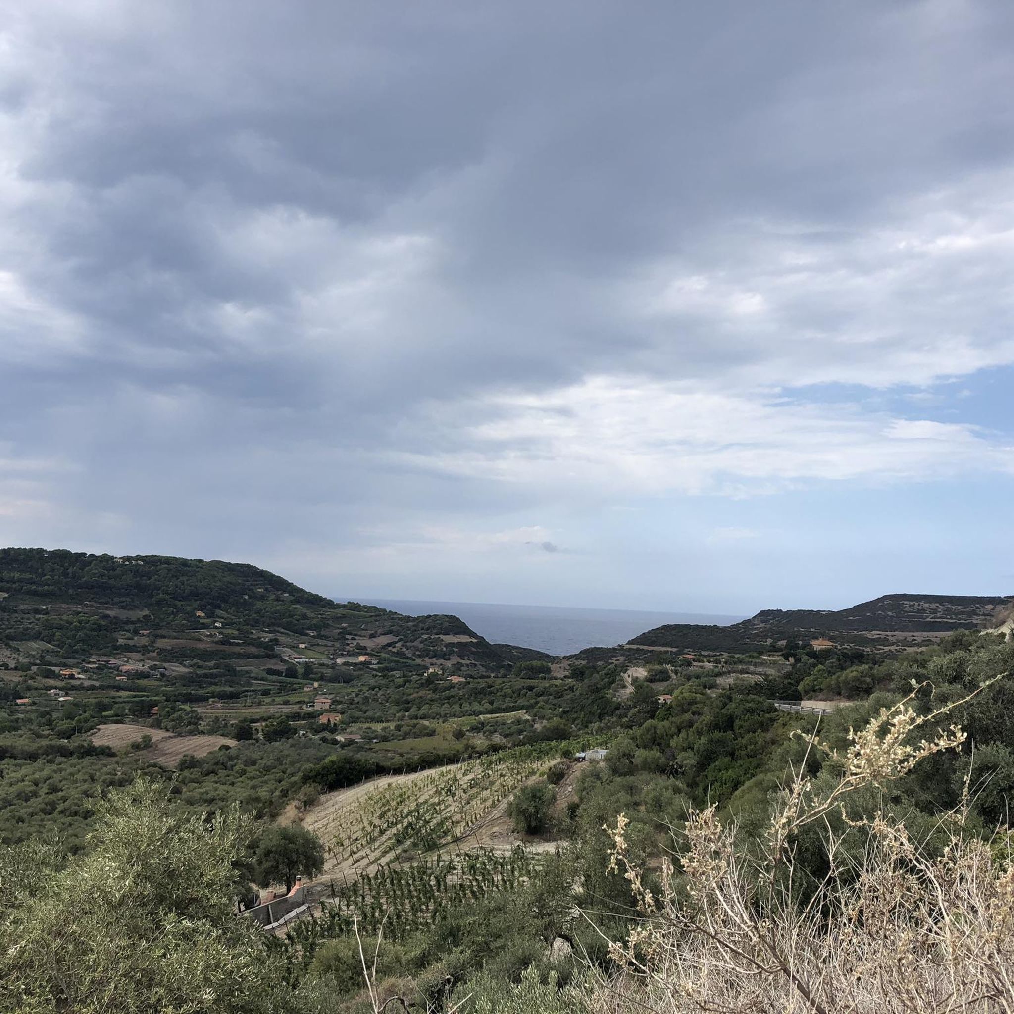
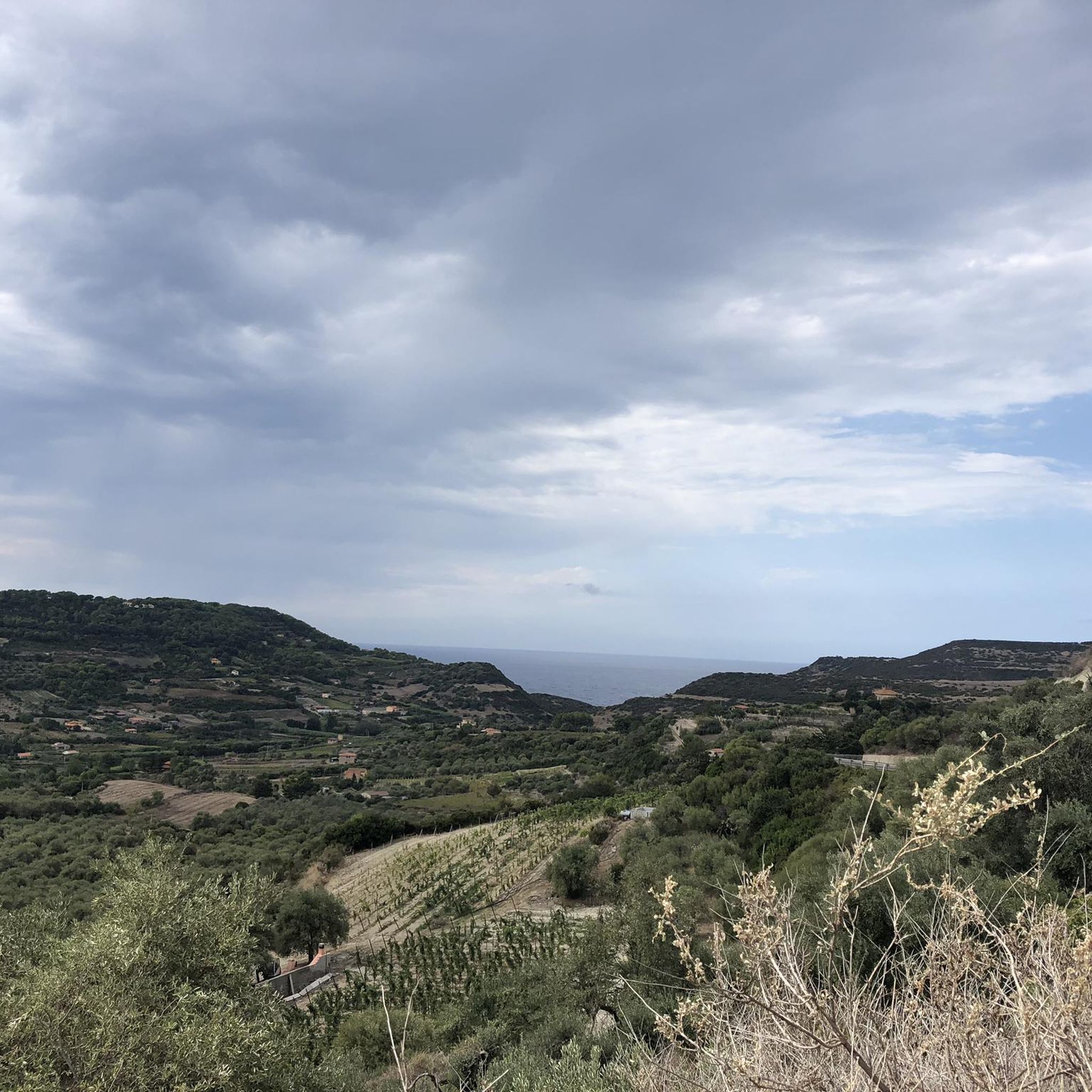
Hiking around Tinnura offers a variety of trails that explore the region's diverse landscape, primarily centered around the nearby town of Bosa. The area features coastal paths, river walks along the Temo, and routes through historic old towns. Hikers can expect gentle elevation changes and scenic views of the Sardinian coast and inland areas.
Best hiking trails around Tinnura
- The most popular hiking route is Bosa's Ponte Vecchio – Bosa Old Town loop from Bosa, a 2.7 miles (4.4 km) trail that takes about 1 hour 12 minutes to complete, exploring the historic town and its iconic bridge.
- Another top favourite among local hikers is Cane Malu Beach – Cala dei Due Mori loop from Bosa, a moderate 6.4 miles (10.3 km) path. This route offers coastal scenery, passing by beaches and coves.
- Local hikers also love the Bosa Old Town – Bosa's Ponte Vecchio loop from Bosa, a 4.5 miles (7.3 km) trail leading through Bosa's historic center and along the river, often completed in about 2 hours 6 minutes.
- Hiking around Tinnura is defined by coastal paths, river walks, and exploration of historic towns, with options for easy, moderate, and challenging routes. The network offers options for different ability levels.
- The routes in Tinnura are highly rated by the komoot community with an average score of 4.5 stars from over 380 reviews. More than 2000 hikers have used komoot to explore Tinnura's varied terrain.
Last updated: August 4, 2026
4.3
(16)
75
hikers
6.20km
01:48
170m
170m
Easy hike. Great for any fitness level. Easily-accessible paths. Suitable for all skill levels.
4.7
(3)
8
hikers
6.15km
01:51
190m
180m
Easy hike. Great for any fitness level. Easily-accessible paths. Suitable for all skill levels.

Sign up for free
4.3
(16)
72
hikers
7.06km
02:04
180m
180m
Moderate hike. Good fitness required. Easily-accessible paths. Suitable for all skill levels.
14
hikers
3.77km
00:58
20m
20m
Easy hike. Great for any fitness level. Easily-accessible paths. Suitable for all skill levels.
3
hikers
20.2km
05:42
430m
430m
Hard hike. Very good fitness required. Easily-accessible paths. Suitable for all skill levels.
Get access to more routes and recommendations from other explorers.
Sign up for free
Already have an account?
Our route recommendations are based on thousands of hikes, rides, and runs completed by other people on komoot.
Start today with a free account
Your next adventure awaits.
Login or Signup
Tips from the Community

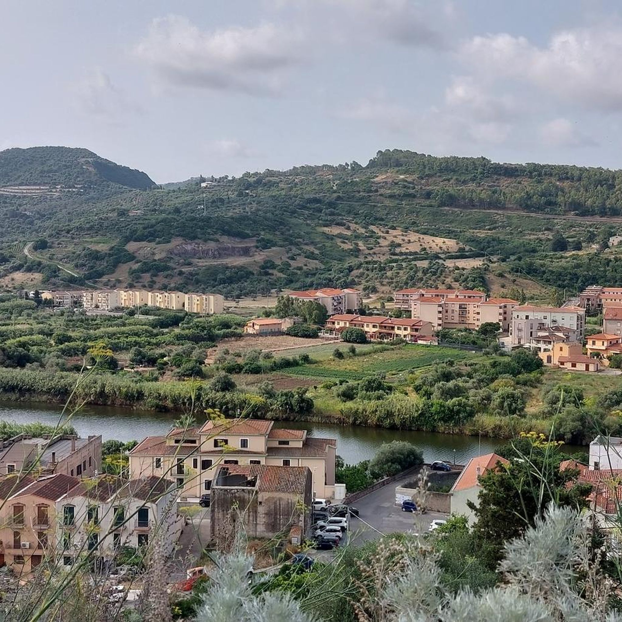
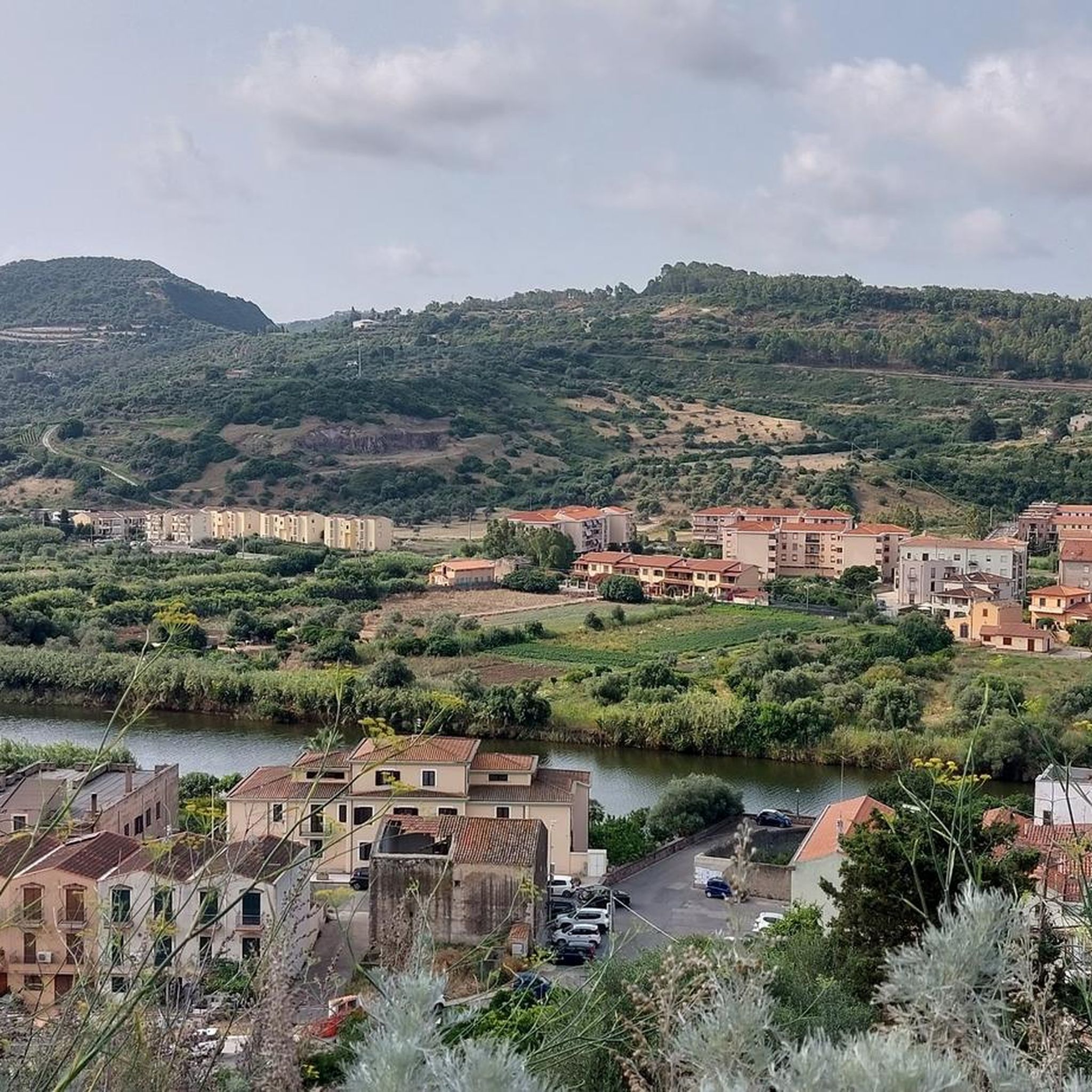
On the other side of the river, there are a few beautiful colorful harbor houses, a museum, and also a few restaurants with a great view of the castle hill of Bosa.
0
0

Everyone makes a pilgrimage here... tourists, drivers, bikers, .....
0
0


Bosa has a great old town and a rustic flair
0
0

Bosa is an Italian municipality with 7,539 inhabitants (as of December 31, 2022) in the province of Oristano in western Sardinia. It is located about two kilometers from the sea in a wide valley on the Temo River and belongs to the association I borghi più belli d'Italia (The Most Beautiful Places in Italy).
3
0

you can also visit
0
1

Beautiful hikes on the beach and in the hinterland
0
0
Frequently Asked Questions
How many hiking trails are available around Tinnura?
There are over 60 hiking trails around Tinnura, offering a diverse range of experiences from easy strolls to more challenging routes. The majority are easy to moderate, making the area accessible for many hikers.
Are there easy hiking options suitable for beginners in Tinnura?
Yes, Tinnura offers many easy hiking options. For instance, the Bosa's Ponte Vecchio – Bosa Old Town loop from Bosa is an easy 2.7-mile (4.4 km) trail that takes about 1 hour 12 minutes, perfect for a gentle introduction to the area's charm.
What kind of scenery can I expect on hikes around Tinnura?
Hiking around Tinnura offers a mix of coastal paths with views of the Sardinian sea, river walks along the Temo, and routes through historic old towns like Bosa. You'll encounter diverse landscapes and charming urban settings.
Are there any circular hiking routes in the Tinnura area?
Many routes around Tinnura are circular, allowing you to start and end in the same location. An example is the Cane Malu Beach – Cala dei Due Mori loop from Bosa, a moderate 6.4-mile (10.3 km) coastal path.
What are some interesting landmarks or attractions to see along the trails?
Many trails pass through or near historical sites. You can explore the Bosa Old Town with its colorful alleys, visit the impressive Malaspina Castle, or admire the Cathedral of the Immaculate Conception.
Are there any challenging hikes for experienced hikers?
While the majority of trails are easy to moderate, there are a few more challenging options for experienced hikers. The region offers 4 difficult routes, providing more strenuous climbs and longer distances for those seeking a greater challenge.
What do other hikers enjoy most about the trails in Tinnura?
The trails around Tinnura are highly rated by the komoot community, with an average score of 4.5 stars from over 380 reviews. Hikers often praise the beautiful coastal views, the charm of Bosa's historic center, and the variety of paths available.
Can I find hikes that explore the historic town of Bosa?
Absolutely. Several routes are designed to showcase Bosa's rich history. The Bosa Old Town – Bosa's Ponte Vecchio loop from Bosa is a popular moderate 4.5-mile (7.3 km) trail that leads through the historic center and along the river.
Are there any hikes that offer views of the Bosa Marina?
Yes, you can find routes that provide scenic views of Bosa Marina. The Bosa Marina Beach loop from Bosa is a moderate 5.4-mile (8.7 km) trail that takes you along the coast, offering beautiful sea vistas.
What is the typical duration for hikes in Tinnura?
Hikes around Tinnura vary in duration. Easy trails like the Bosa's Ponte Vecchio – Bosa Old Town loop can be completed in just over an hour, while moderate routes might take 2-3 hours, and longer, more challenging trails could extend to half a day or more.
Is the area suitable for family-friendly hikes?
Yes, with many easy and moderate routes, the Tinnura area is well-suited for family-friendly hikes. The gentle elevation changes and scenic paths through towns or along the coast provide enjoyable experiences for all ages.
Are there options for longer, more extensive hikes?
For those looking for longer excursions, there are routes that extend beyond the immediate town centers. For example, the Cane Malu Beach – Cala dei Due Mori loop from Bosa covers 6.4 miles (10.3 km), offering a more extensive coastal exploration.
Most popular attractions around Tinnura

Get inspired with the komoot mobile app


Explore more
Browse the best Hikes in other regions.
