The best running trails around Sune/Suni
4.1
(30)
628
runners
55
runs
Jogging routes around Sune/Suni traverse high-altitude Andean landscapes, characterized by glacial valleys, rugged terrain, and pronounced slopes. The region, situated at elevations between 3,500 to 4,000 meters, features dramatic cliffs and ravines. Its dry, cold climate and open, scrub-filled areas provide expansive views and varied scenery for runners. This environment offers natural inclines and declines suitable for building strength and endurance.
Best jogging routes around Sune/Suni
- The most popular jogging route is View of Bosa – Bosa Marina loop from…
Last updated: August 4, 2026
43
runners
8.07km
00:50
50m
50m
Moderate run. Good fitness required. Mostly paved surfaces. Suitable for all skill levels.
4.8
(4)
19
runners
5.83km
00:41
180m
180m
Moderate run. Good fitness required. Mostly paved surfaces. Suitable for all skill levels.

Sign up for free
24
runners
9.74km
01:01
70m
70m
Moderate run. Good fitness required. Mostly paved surfaces. Suitable for all skill levels.
42
runners
7.05km
00:44
10m
10m
Moderate run. Good fitness required. Mostly paved surfaces. Suitable for all skill levels.
2.0
(1)
13
runners
5.03km
00:31
40m
40m
Moderate run. Good fitness required. Mostly paved surfaces. Suitable for all skill levels.
Get access to more routes and recommendations from other explorers.
Sign up for free
Already have an account?
Our route recommendations are based on thousands of hikes, rides, and runs completed by other people on komoot.
Start today with a free account
Your next adventure awaits.
Login or Signup
Tips from the Community

Everyone makes a pilgrimage here... tourists, drivers, bikers, .....
0
0


Bosa has a great old town and a rustic flair
0
0

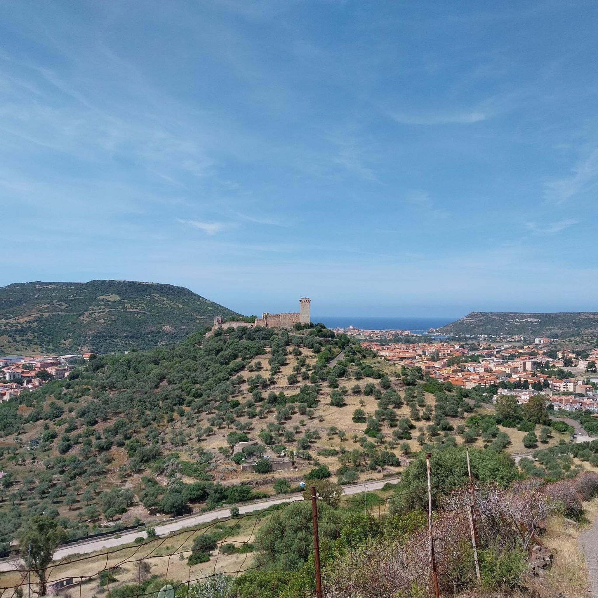
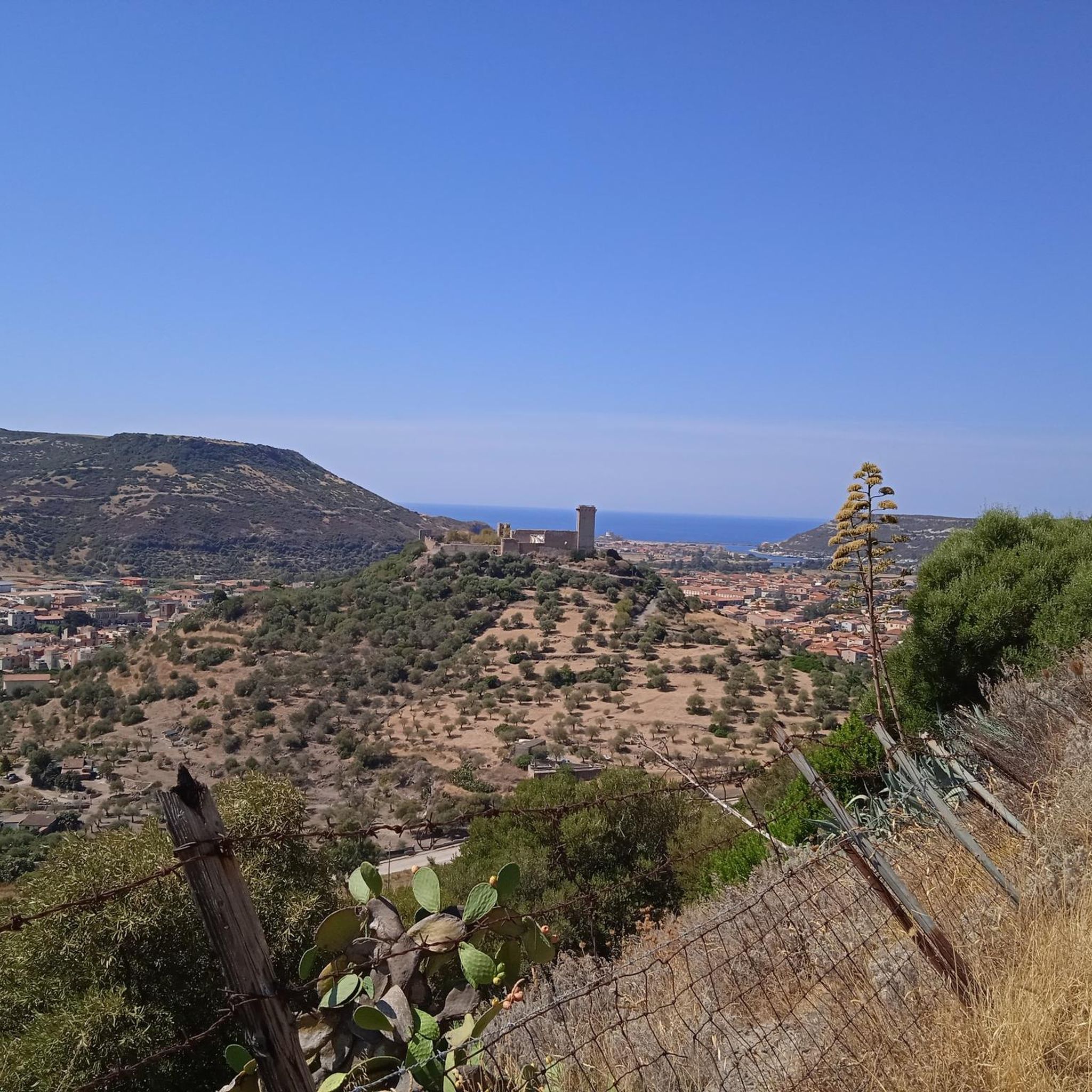
The watchtower of Bosa, which stands majestically on a rock in front of the town of Bosa, is unfortunately no longer accessible. From the beach you can only get to the foot of the tower. Below the watchtower you can still find old positions and gun emplacements that bear witness to a dark past. In World War II, the gun emplacements kept attackers from entering the harbor. Overall it is quite beautiful, although the view of the watchtower is more beautiful from a distance than from close up!
0
0

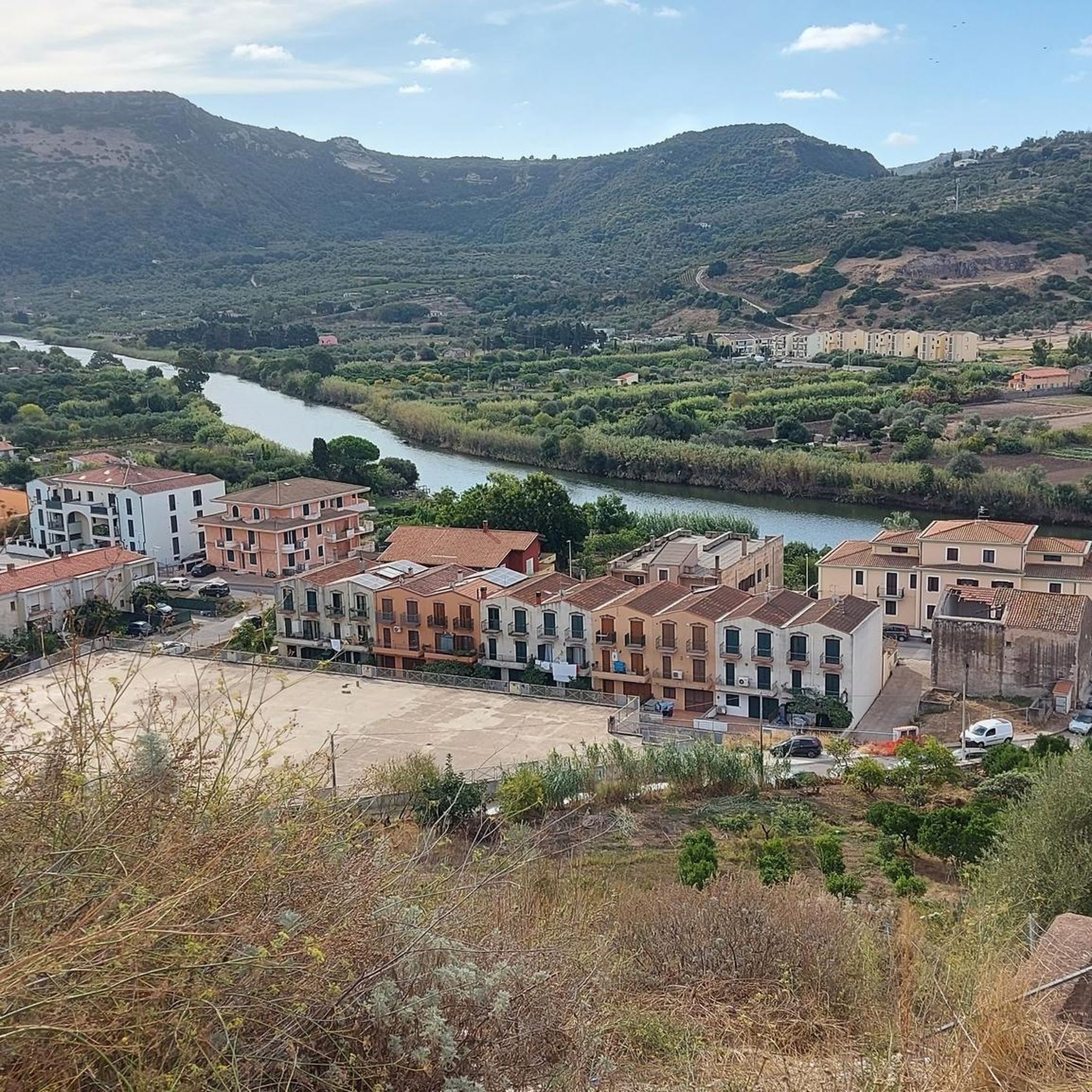
Bosa is an Italian municipality with 7,539 inhabitants (as of December 31, 2022) in the province of Oristano in western Sardinia. It is located about two kilometers from the sea in a wide valley on the Temo River and belongs to the association I borghi più belli d'Italia (The Most Beautiful Places in Italy).
3
0

you can also visit
0
1

The Bosa tower is the most majestic of the coastal towers that dot the stretch of coast of Planargia and Montiferru. Built during the period of Spanish domination in Sardinia, its construction was motivated by the need to protect the city of Bosa and its river port, among the most important in Aragonese Sardinia. This defense was aimed at countering the incursions and pirate attacks that plagued the Mediterranean, especially after the expulsion of the Moriscos from Spain in 1502. The coastal toponyms, such as Cala 'e Moros (Cove of the Moors), still bear witness to these incursions today, recalling the era of the Turkish-Barbarian pirates, as well as Cala Rapina (Cala del Saccheggio).
2
0

The houses to your left and right glow in every color imaginable, as if an artist had spilled his palette over them. Welcome to Bosa, the hidden gem on Sardinia's west coast. Start your walk in the beating heart of the Centro Storico. Here, every step takes you deeper into the maze of narrow streets that wind their way up the slope. Flower pots made from old tin cans, creatively and lovingly designed by local residents, line your path and give the alleys a unique flair. As you continue to stroll through the old town, you will be accompanied by an ensemble of historic buildings, cozy restaurants and small shops. Every corner, every niche invites you to discover and linger. And despite its beauty, Bosa has retained its authentic charm and remains a place that is not overrun with tourists. But the real highlight awaits you at the end of your exploration tour: the climb to Castello Malaspina. Even if the way up requires a little effort, you will be rewarded with an incomparable panorama at the top. The view sweeps over the roofs of Bosa, along the Temo River to the horizon.
2
0
Frequently Asked Questions
What are the general characteristics of running routes in the Sune/Suni region?
Running routes in Sune/Suni are defined by high-altitude Andean landscapes, typically between 3,500 to 4,000 meters above sea level. You'll encounter glacial valleys, rugged terrain, and pronounced slopes, offering natural inclines and declines for strength and endurance training. The climate is generally dry and cold, with average annual temperatures between 7 and 10°C, providing invigorating conditions for a run.
How many running routes are available in Sune/Suni?
There are over 40 running routes available in the Sune/Suni region, offering a variety of options for different skill levels and preferences.
Are there any easy or beginner-friendly jogging trails in Sune/Suni?
The jogging routes in Sune/Suni are predominantly moderate to difficult, reflecting the challenging high-altitude Andean terrain. There are no routes specifically classified as 'easy' in our current selection, so beginners should be prepared for moderate exertion and consider acclimatization.
What should I know about jogging at high altitude in Sune/Suni?
Jogging in Sune/Suni's high-altitude environment requires careful acclimatization to avoid altitude sickness. It's recommended to spend several days at a high-altitude destination, taking it easy before attempting strenuous activities. Proper hydration is also crucial due to the dry air, and appropriate footwear is essential for the rugged and uneven terrain.
Are there any circular running routes in Sune/Suni?
Yes, several routes in Sune/Suni are circular. For example, the View of Bosa – Bosa Marina loop from Bosa is a popular 5.7-mile (9.2 km) trail, and the Footbridge over the Temo – Bosa Tower loop from Bosa offers a moderate 3.9-mile (6.3 km) option.
What kind of scenery and wildlife can I expect to see while running in Sune/Suni?
The region offers expansive views of glacial valleys and open, scrub-filled areas with unique flora like taya-taya, quishuar, and cantuta. You might also spot highland birds such as the Chiguanco thrush, adding to the natural immersion of your run. The transparent air at this altitude often provides remarkably clear views.
What do other runners say about the trails in Sune/Suni?
The running routes in Sune/Suni are highly rated by the komoot community, with an average score of 4.2 stars from over 17 reviews. Runners often praise the unique challenge of the high-altitude terrain and the breathtaking Andean scenery.
Are there any interesting landmarks or attractions near the running routes?
Yes, the region offers several points of interest. You can explore the Colorful Alleys in Bosa's Old Town, visit the historic Malaspina Castle, Bosa, or discover natural monuments like Nature window. These attractions can be found near many of the running paths.
What is the best time of year to go jogging in Sune/Suni?
Sune/Suni experiences a dry and cold climate year-round, with average temperatures between 7 and 10°C. This crisp air can be invigorating. However, due to the high altitude, it's always important to be prepared for varying weather conditions and potential cold, especially at higher elevations.
Are there any running routes that pass by the Temo River?
Yes, routes like the Footbridge over the Temo – Bosa Marina loop from Bosa and the Footbridge over the Temo loop from Bosa incorporate sections along or near the Temo River, offering scenic waterside views.
What kind of clothing should I wear for jogging in Sune/Suni?
Given the dry and cold climate with temperatures between 7 and 10°C, layered clothing is advisable. Protect yourself from the sun at high altitude, and be prepared for potential wind chill. Appropriate footwear for rugged and uneven terrain is also essential.
Can I find routes that offer views of Bosa?
Absolutely. The View of Bosa – Bosa Marina loop from Bosa is specifically designed to provide scenic vistas of Bosa and its surroundings while you run.
Most popular attractions around Sune/Suni

Get inspired with the komoot mobile app


Explore more
Browse the best Running Trails & Routes in other regions.
