The best walks and hikes around Castelli Calepio
4.3
(2803)
14,776
hikers
10
hikes
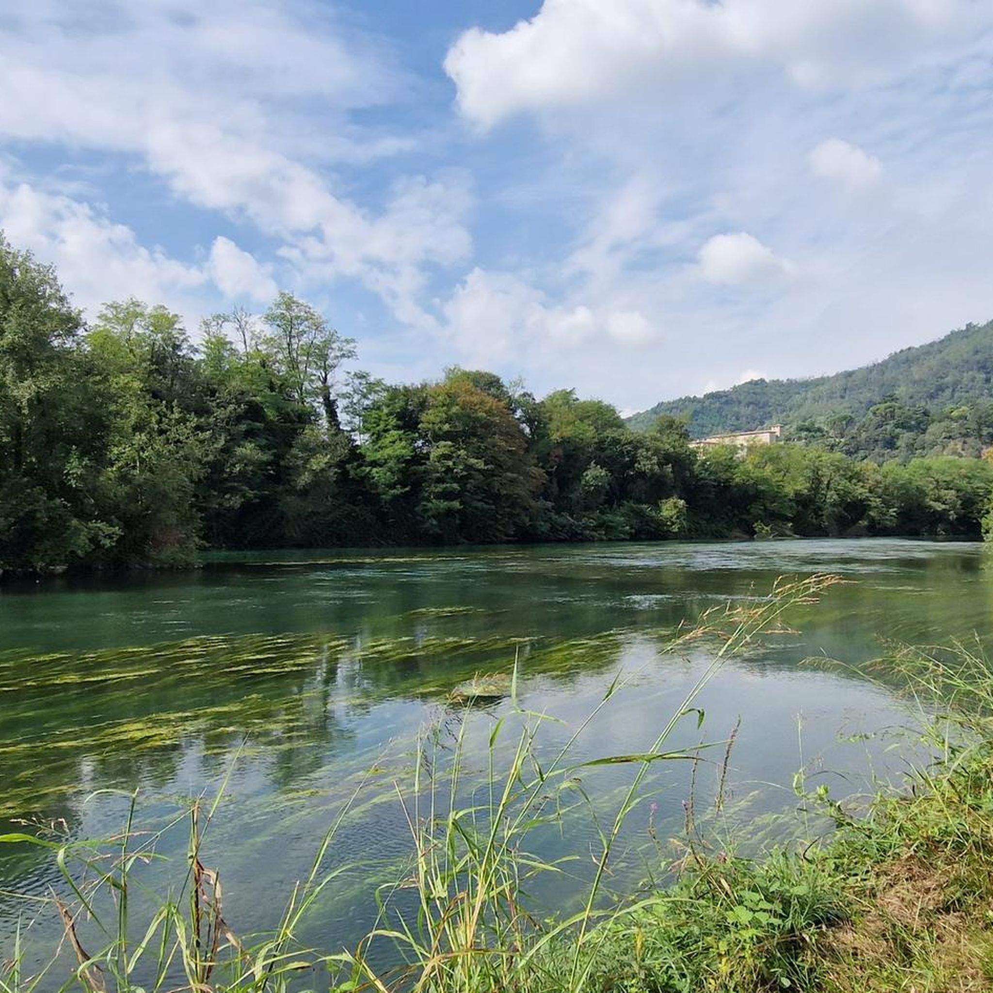
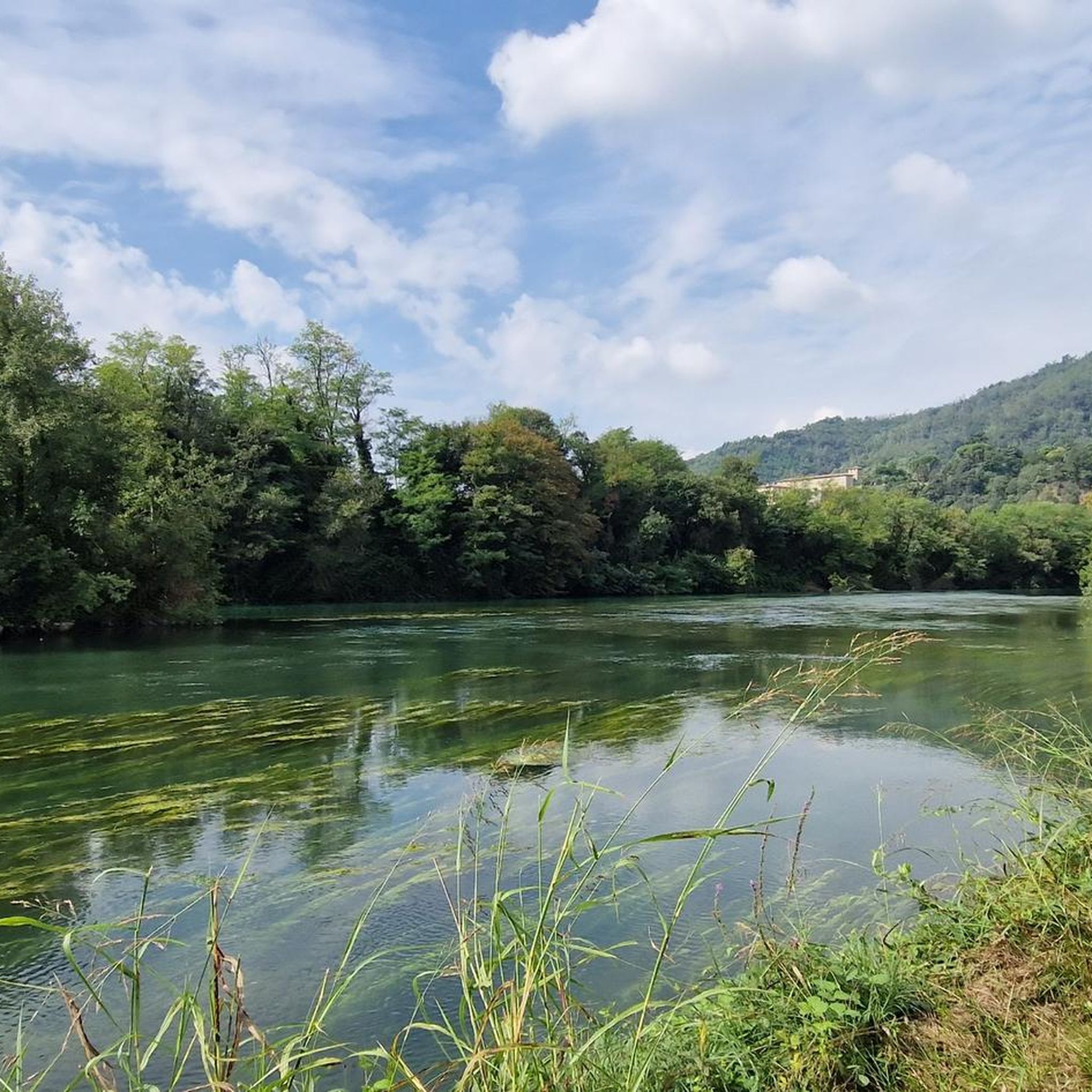
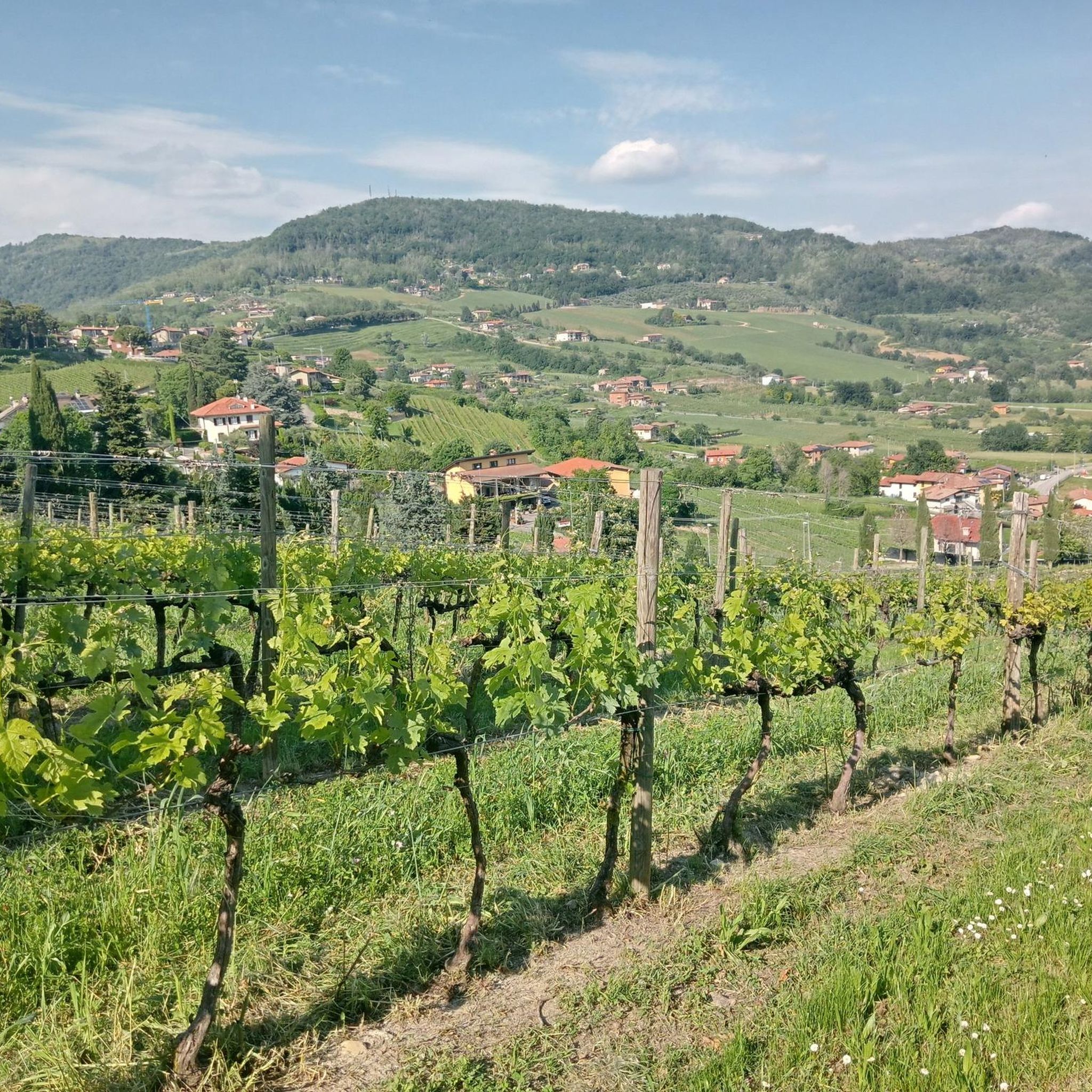
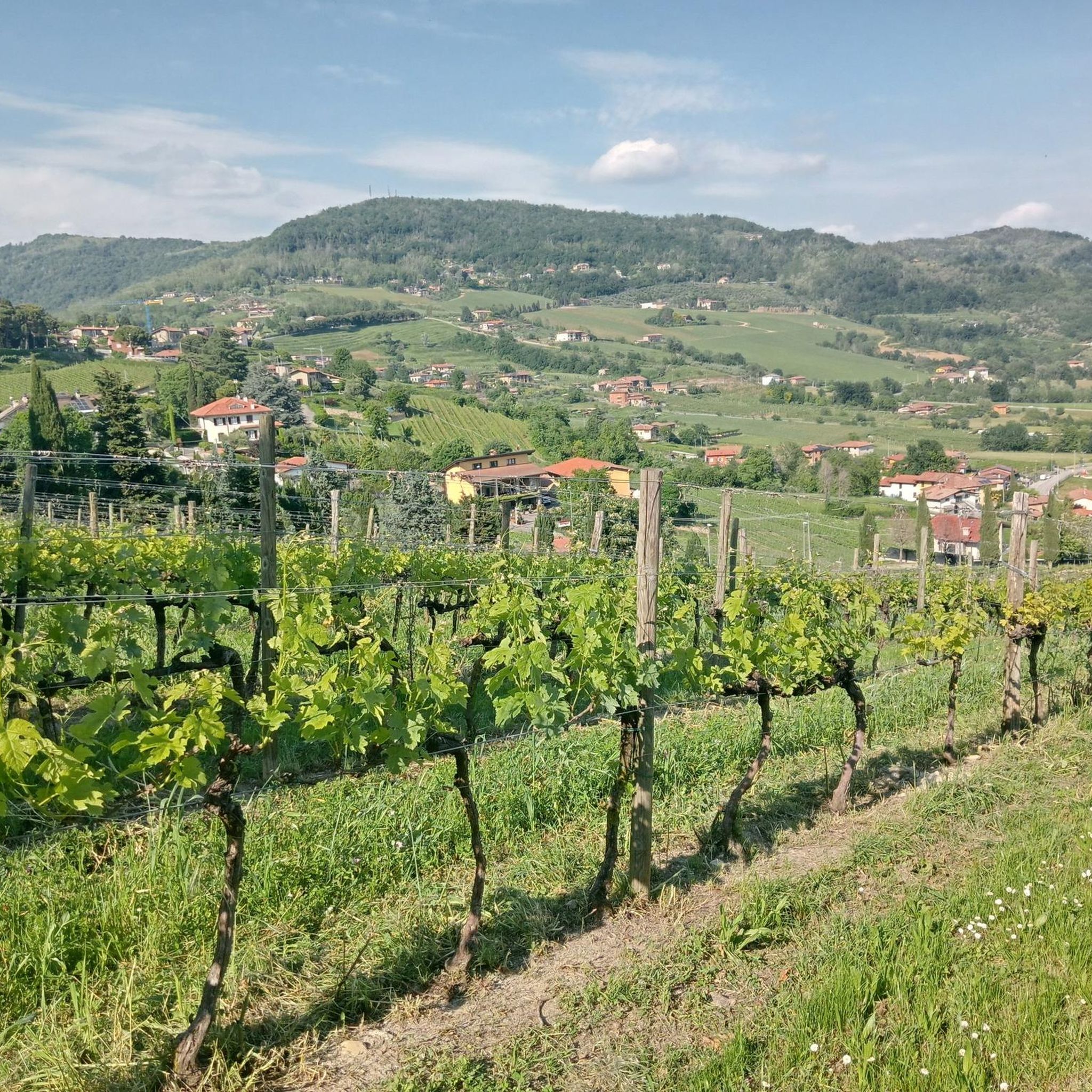
Hiking around Castelli Calepio offers diverse landscapes, from rolling hills adorned with vineyards and olive groves to the shores of Lake Iseo and the Oglio River. The region is situated at the foot of the Pre-Alps, featuring wooded areas and providing a variety of terrain for outdoor exploration. Natural features include the Oglio Valley and the nearby Torbiere del Sebino Nature Reserve.
Best hiking trails around Castelli Calepio
- The most popular hiking route is Ponte di Via Roma – Parco…
Last updated: November 1, 2026
4.5
(2)
8
hikers
7.56km
02:13
190m
190m
Moderate hike. Good fitness required. Easily walkable paths.
2.0
(1)
10
hikers
6.23km
01:40
70m
70m
Easy hike. Easily walkable paths.

4.7
(3)
5
hikers
7.30km
02:14
240m
240m
Moderate hike. Good fitness required. Easily walkable paths.
6
hikers
12.8km
03:21
100m
100m
Moderate hike. Good fitness required. Easily walkable paths.
3.0
(2)
3
hikers
13.5km
03:35
140m
140m
Moderate hike. Good fitness required. Easily walkable paths.
Get access to more routes and recommendations from other explorers.
Already have an account?
Our route recommendations are based on thousands of hikes, rides, and runs completed by other people on komoot.
Start today with a free account
Your next adventure awaits.


Other adventures around Castelli Calepio

Tips from the Community

All off-road rocky, good uphill and downhill abilities
0
0

Church of the Holy Trinity
0
0
Counts Calepio Castle
0
0
Parish of San Lorenzo
0
0
Village of Trebecco
0
1

small, perfectly preserved village
2
0

Frequently Asked Questions
What types of landscapes will I encounter while hiking around Castelli Calepio?
Hiking in Castelli Calepio offers a diverse range of landscapes. You'll find gently rolling hills covered with vineyards and olive groves, scenic paths along the Oglio River, and trails leading towards the Pre-Alps. The area also features wooded sections and is close to the picturesque Lake Iseo and the unique Torbiere del Sebino Nature Reserve.
How many hiking trails are available in the Castelli Calepio area?
There are over 450 hiking routes available around Castelli Calepio, catering to various preferences and fitness levels. These include easy strolls, moderate paths, and more challenging ascents.
Are there any easy hiking trails suitable for beginners or families in Castelli Calepio?
Yes, Castelli Calepio offers many easy trails. For a gentle ascent with views, consider the Calvario Climb loop from Castelli Calepio, which is an easy 3.6-mile (5.8 km) path. The gravel paths along the Oglio River also provide relaxing walks suitable for all skill levels.
What are some challenging hikes for experienced trekkers in Castelli Calepio?
For those seeking a challenge, the Monte Alto Summit Cross – Historic Center of Capriolo loop from Capriolo is a demanding 10.3-mile (16.6 km) trail with significant elevation gain, leading to a summit cross in the pre-Alpine foothills. Another option is the Calvario Climb – Alpini Chapel loop from Castelli Calepio, which is a moderate route with a good climb.
Can I find circular hiking routes in Castelli Calepio?
Yes, many trails in Castelli Calepio are designed as loops. Examples include the popular Ponte di Via Roma – Parco delle Erbe Danzanti loop from Credaro, which traverses varied terrain near the Oglio River, and the Oglio River Path – Trail Along the Oglio River loop from Palazzolo sull'Oglio.
Are there any notable natural attractions or viewpoints along the hiking trails?
Absolutely. Hikers can enjoy views of the Oglio Plain, Lake Iseo, and the surrounding pre-Alpine landscape. The Torbiere del Sebino Nature Reserve near Lake Iseo offers a unique environment with a central boardwalk. You can also find viewpoints like View of Monte Guglielmo from Monte Alto.
What is the best time of year to go hiking in Castelli Calepio?
Castelli Calepio experiences a Mediterranean climate with warm summers and mild winters, making it suitable for hiking for a good part of the year. Spring and autumn generally offer the most pleasant temperatures for exploring the countryside and vineyards.
Are the hiking trails in Castelli Calepio dog-friendly?
Many trails in the Castelli Calepio region are suitable for dogs, especially those through the rolling hills, vineyards, and along the Oglio River. It's always advisable to keep dogs on a leash, especially in agricultural areas or near wildlife, and to check specific trail regulations if available.
What do other hikers say about the trails in Castelli Calepio?
The routes in Castelli Calepio are highly rated by the komoot community, with an average score of 4.3 stars from over 2,400 reviews. More than 13,000 hikers have used komoot to explore the varied terrain, often praising the scenic beauty of the vineyards, the tranquility of the river paths, and the diverse options available.
Are there historical sites or castles to see while hiking in the area?
Yes, the region is named 'Castelli Calepio' for a reason! The historic Castle of Calepio is situated on a hill overlooking the Oglio Valley, adding a cultural dimension to your outdoor excursions. Many routes will pass by or offer views of such historical fortifications.
Is public transport available to reach hiking trailheads in Castelli Calepio?
While specific public transport connections to every trailhead can vary, the region is generally accessible. For detailed information on bus routes or train connections to towns near trailheads, it's best to consult local transport schedules or plan your route using a navigation app like komoot, which often includes public transport options.
Are there places to eat or stay near the hiking trails in Castelli Calepio?
Castelli Calepio and its surrounding towns offer various options for refreshments and accommodation. You'll find local restaurants, cafes, and agriturismos where you can enjoy regional cuisine and wine after your hike. Many routes pass through or near villages with amenities.
Most popular routes around Castelli Calepio
Most popular attractions around Castelli Calepio

Get inspired with the komoot mobile app


Explore more
Browse the best Hikes in other regions.
