The best MTB trails around Agliana
4.3
(1577)
8,445
riders
401
rides
Mountain biking around Agliana offers diverse terrain, from the challenging climbs of the Calvana Mountains to scenic routes through the Montalbano area. The region features varied topography, including ancient woods and natural protected areas like Querciola, providing a range of experiences for riders. Streams such as the Bure and Ombrone shape the landscape, contributing to a mix of paths suitable for different skill levels. This area provides opportunities for both hard gravel rides and unpaved, technically demanding segments.
Best mountain…
Last updated: October 27, 2026
3.7
(3)
42
riders
58.4km
03:55
610m
610m
Moderate mountain bike ride. Good fitness required. Advanced riding skills necessary.
4.0
(1)
39
riders
53.8km
06:04
1,970m
1,970m
Hard mountain bike ride. Very good fitness required. Advanced riding skills necessary. Some portions of the route may require you to push your bike.

4.8
(4)
33
riders
31.5km
03:19
920m
920m
Hard mountain bike ride. Very good fitness required. Advanced riding skills necessary.
4.2
(5)
36
riders
39.8km
03:17
760m
760m
Moderate mountain bike ride. Good fitness required.
5.0
(5)
31
riders
38.6km
03:24
1,130m
1,130m
Hard mountain bike ride. Very good fitness required. Advanced riding skills necessary. Some portions of the route may require you to push your bike.
Get access to more routes and recommendations from other explorers.
Already have an account?
Our route recommendations are based on thousands of hikes, rides, and runs completed by other people on komoot.
Start today with a free account
Your next adventure awaits.
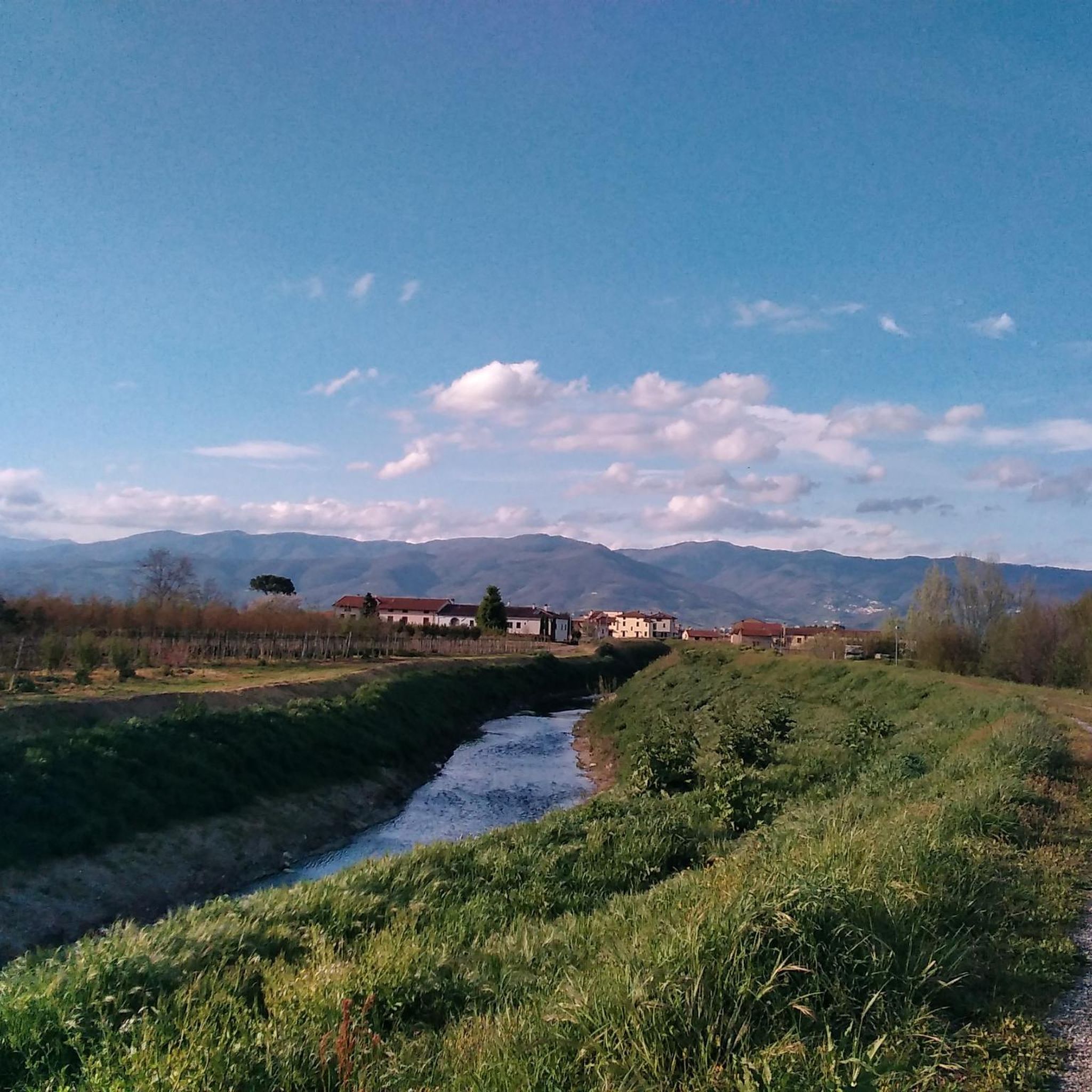
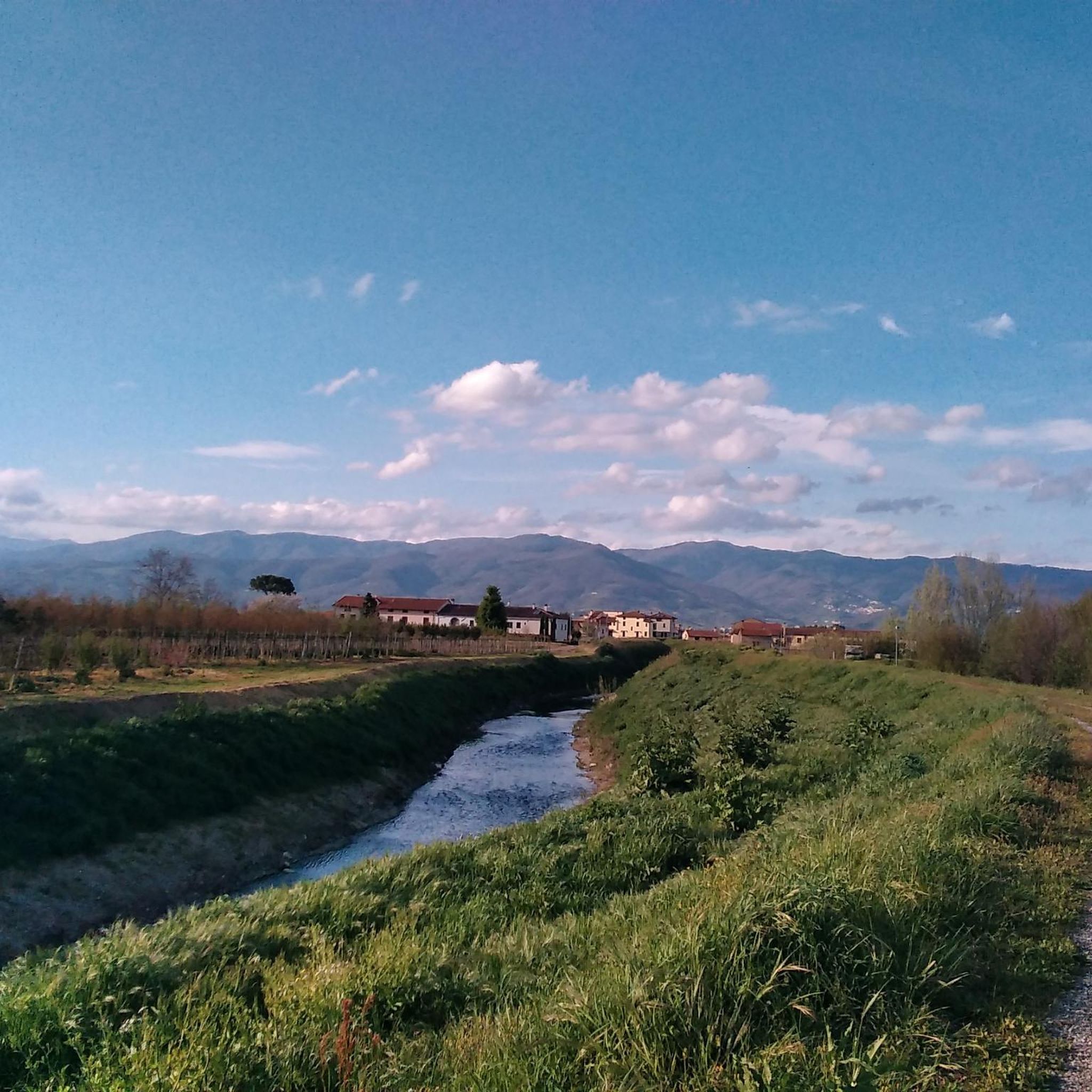
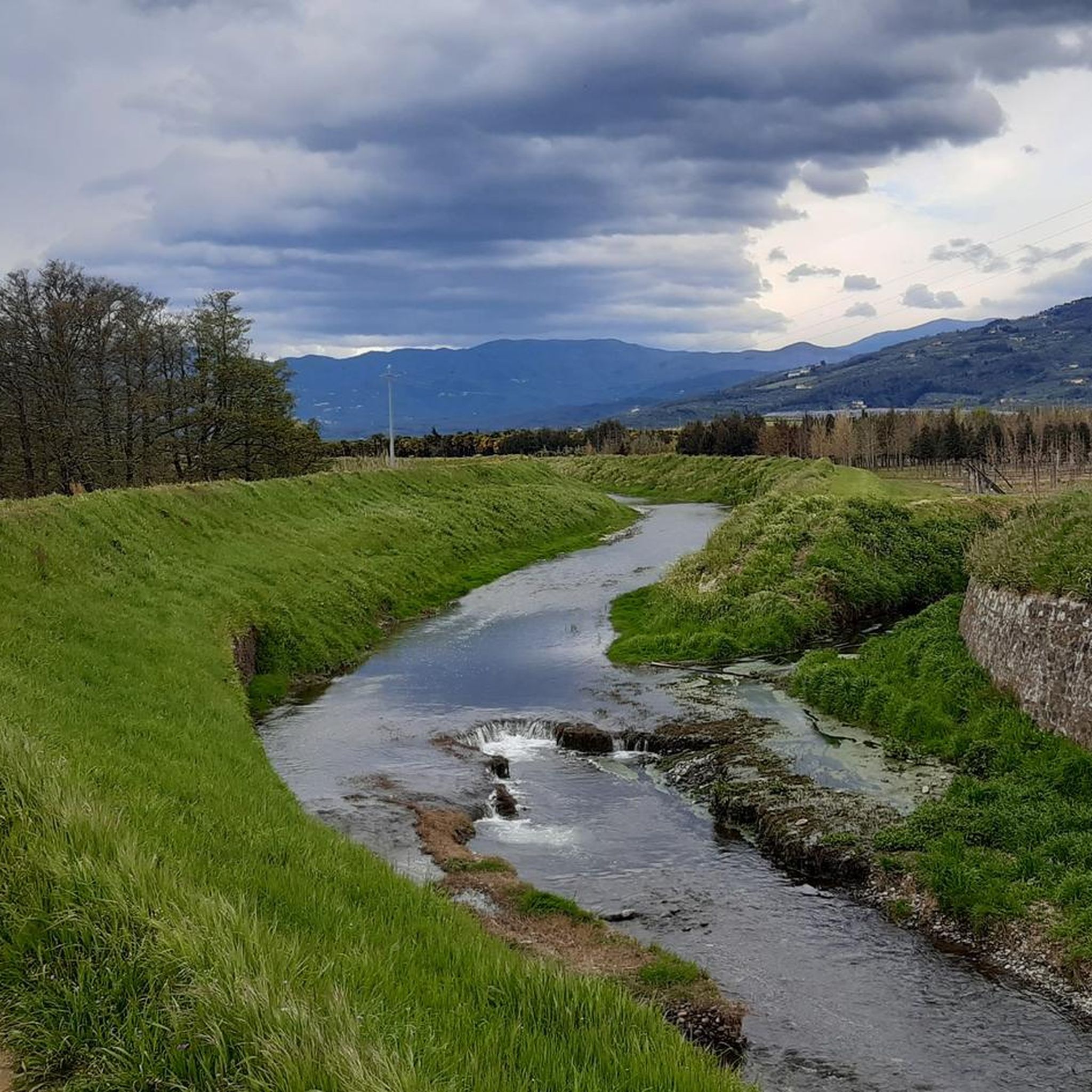
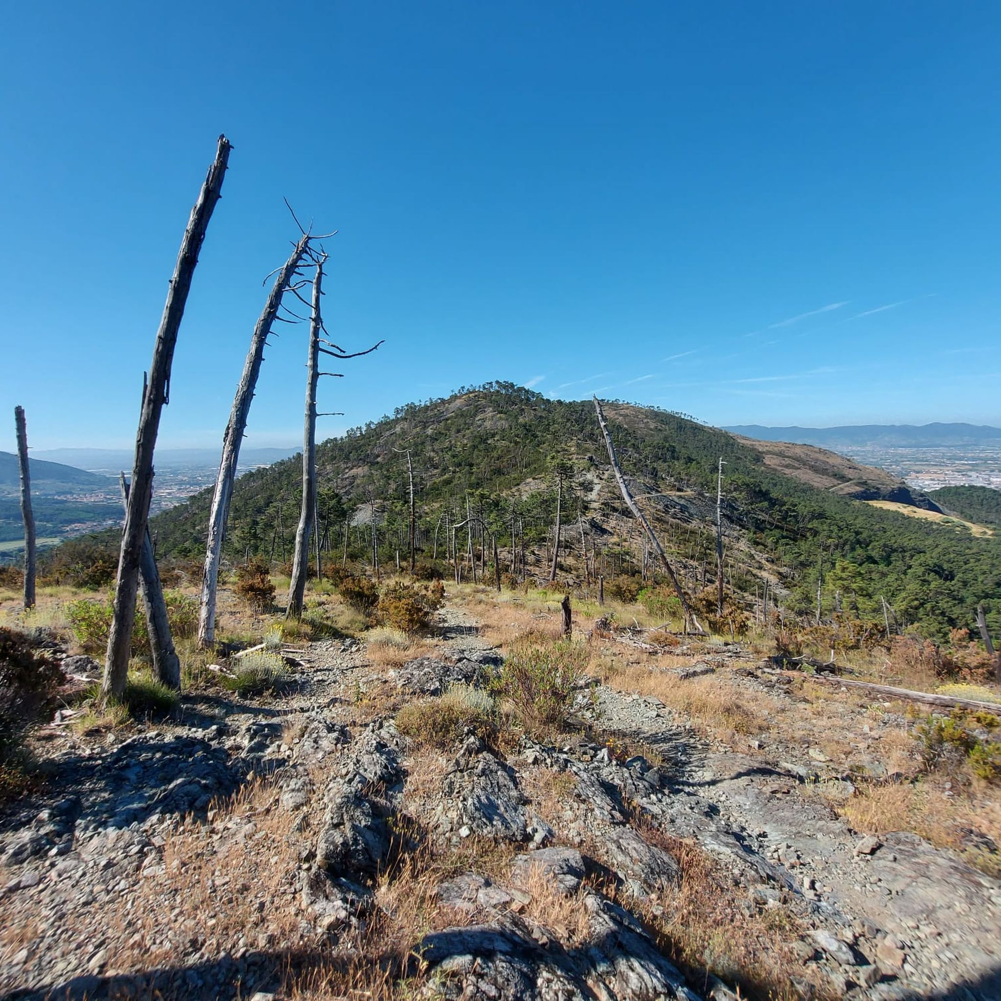
Tips from the Community

Cascina di Spedaletto is an important hiking refuge and visitor center located at 883 meters above sea level within the Acquerino Cantagallo Natural Reserve, in the municipality of Cantagallo (Prato), on the Tuscan-Emilian Apennines. It historically stands on the remains of an ancient medieval "spedale" (hospice) intended for the accommodation of wayfarers and pilgrims.
0
0

1Alfredo Binda Cycle Path in Prato (Tuscany) It is a section of the Prato river cycle network that crosses the Prato countryside along the waterways
0
0
Fognano (Montale, PT): A hilly hamlet in the municipality of Montale, in Tuscany. It is located about 160 meters above sea level along the Agna stream, where there is also a renovated natural and wooded area managed by the Pro Loco.
0
0

Beautiful view on a wide road that can be easily traveled on foot or by bike
0
0

A beautiful walk in the mountains, you have a panoramic view of the Bisenzio Valley and you enjoy so much fresh air, my wife and I did it with our daughter in a sling, it's not a route for snickers, you need to know how to go in the mountains, but it's very peaceful.
1
0

Arrived from Tobbiana, beautiful....
0
0

Important pass that, along the Luogomano - Cascina di Spedaletto road closed to traffic, allows you to pass from the Bisenzio hydrographic basin to that of Limentra
2
0
Footbridge that allows you to cross the Marina stream and go from the Travalle area to Calenzano without going through the provincial road. The Marina, only 13 km long, flows mainly in the municipality of Calenzano and, shortly after entering the municipality of Campi, flows into the Bisenzio.
2
0
Frequently Asked Questions
How many mountain bike trails are available around Agliana?
Agliana and its surrounding areas offer a wide selection of mountain bike trails, with nearly 400 routes available on komoot. These range from easy rides to challenging, difficult paths, ensuring options for various skill levels.
What kind of terrain can I expect on mountain bike trails near Agliana?
The terrain around Agliana is diverse, featuring the hilly landscape of the Calvana Mountains, ancient woods in the Montalbano area, and riverine paths shaped by streams like the Bure and Ombrone. You'll find a mix of hard gravel roads, unpaved segments, and trails with significant elevation gains, suitable for different riding styles and fitness levels.
Are there any easy mountain bike trails suitable for beginners in Agliana?
Yes, Agliana offers 78 easy mountain bike routes. These trails are generally less demanding in terms of elevation and technical skill, providing a great starting point for beginners or those looking for a more relaxed ride.
What are some notable natural features or landmarks I can see while mountain biking in Agliana?
Mountain biking around Agliana allows you to explore several unique natural features and landmarks. You can encounter the distinctive large sandstone monolith known as the 'Devil's Boulder' (Pietramarina) in the Montalbano area, surrounded by ancient holm oak forests. The Calvana Mountains offer expansive views, and routes like the View of Casaccia Lake – Villa Castello La Smilea loop from Montale Agliana provide scenic vistas of Casaccia Lake.
Are there any challenging mountain bike routes with significant climbs?
Absolutely. For experienced riders seeking a challenge, Agliana has 102 difficult mountain bike routes. A prime example is the Javello Climb – Passo delle Cavallaie loop from Montale Agliana, which features significant elevation gain, reaching nearly 2,000 meters over its 53.8 km distance, and includes mountain passes like Passo delle Cavallaie.
What do other mountain bikers say about the trails in Agliana?
The mountain bike trails around Agliana are highly regarded by the komoot community, holding an average rating of 4.4 stars from over 1,100 reviews. Nearly 8,000 mountain bikers have used komoot to explore the varied terrain, often praising the diverse landscapes and the range of options for different skill levels.
Are there any long-distance mountain bike routes in the area?
Yes, Agliana offers several longer routes for those looking for extended rides. For instance, the Travalle Cycle Path – Collina Estate loop from Montale Agliana covers 58.6 km and typically takes over 4 hours to complete, leading through varied terrain.
Can I find mountain passes or climbs on the trails around Agliana?
Yes, the region features several mountain passes and notable climbs. Highlights include Passo degli Acquiputoli, Passo delle Cavallaie, and the Climb to Monte Perlo, offering both scenic views and challenging ascents for mountain bikers.
Are there any routes that pass by historical sites or estates?
Yes, some routes combine natural beauty with historical interest. The View of Casaccia Lake – Villa Castello La Smilea loop from Montale Agliana, for example, passes by historical estates like Villa Castello La Smilea, offering a glimpse into the region's heritage alongside scenic views.
What is the best time of year for mountain biking in Agliana?
Tuscany generally offers pleasant conditions for mountain biking outside of the peak summer heat. Spring and autumn are often ideal, with milder temperatures and vibrant landscapes. Winter can also be suitable on lower elevation trails, though higher mountain areas may experience colder weather or snow.
Are there any specific regulations or permits required for mountain biking in the Agliana area?
Generally, mountain biking on public trails in Tuscany does not require specific permits. However, it's always advisable to respect local signage, stay on marked trails, and be mindful of protected areas like the Querciola Nature Protected Area. For specific regulations or protected zones, local information sources should be consulted.
Are there any routes that offer a mix of views and historical points of interest?
Certainly. The Villa Castello La Smilea – Santa Lucia Chapel Ruins loop from Barba is a moderate 43.3 km route that allows you to experience both the natural beauty and historical elements, passing by the Villa Castello La Smilea and the Santa Lucia Chapel Ruins.
Most popular attractions around Agliana

Get inspired with the komoot mobile app


Explore more
Browse the best MTB trails in other regions.
