The best road cycling routes around Schrozberg
4.5
(24)
533
riders
93
rides
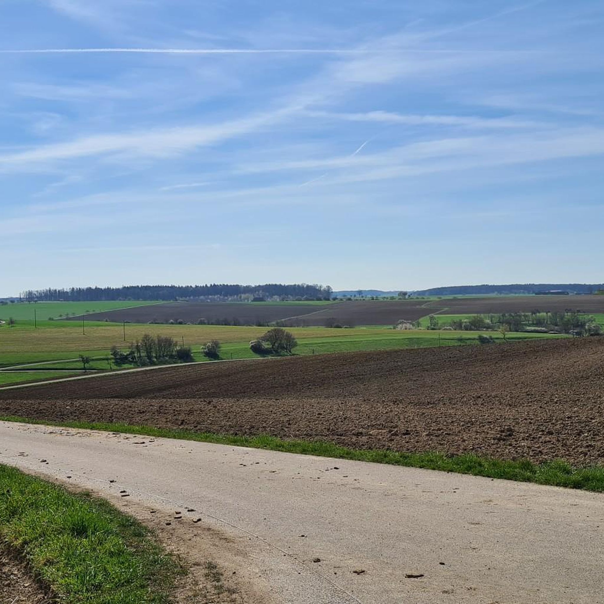
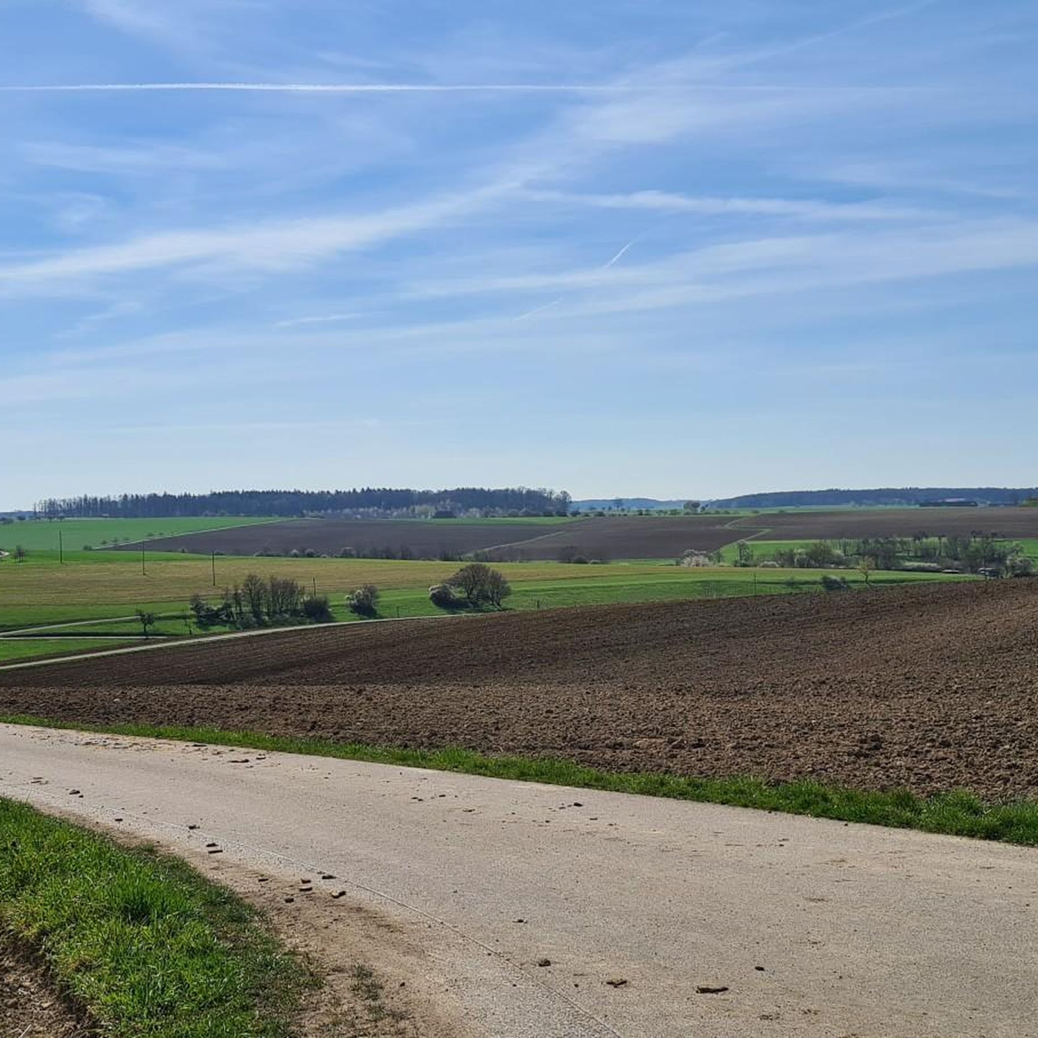
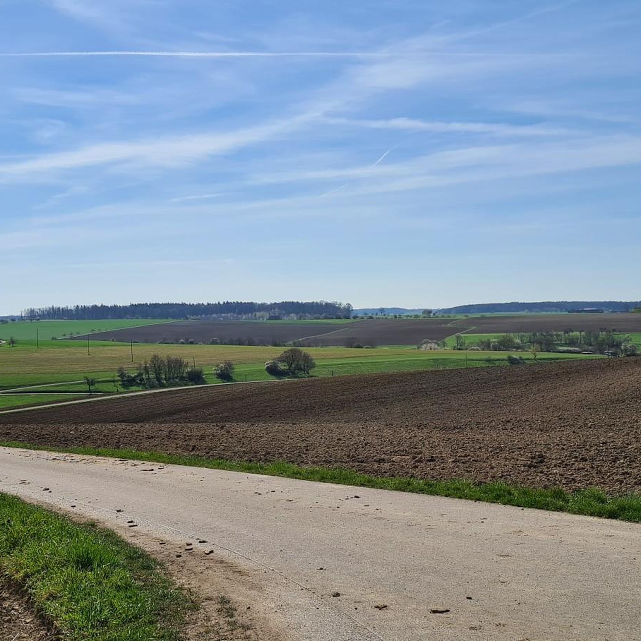
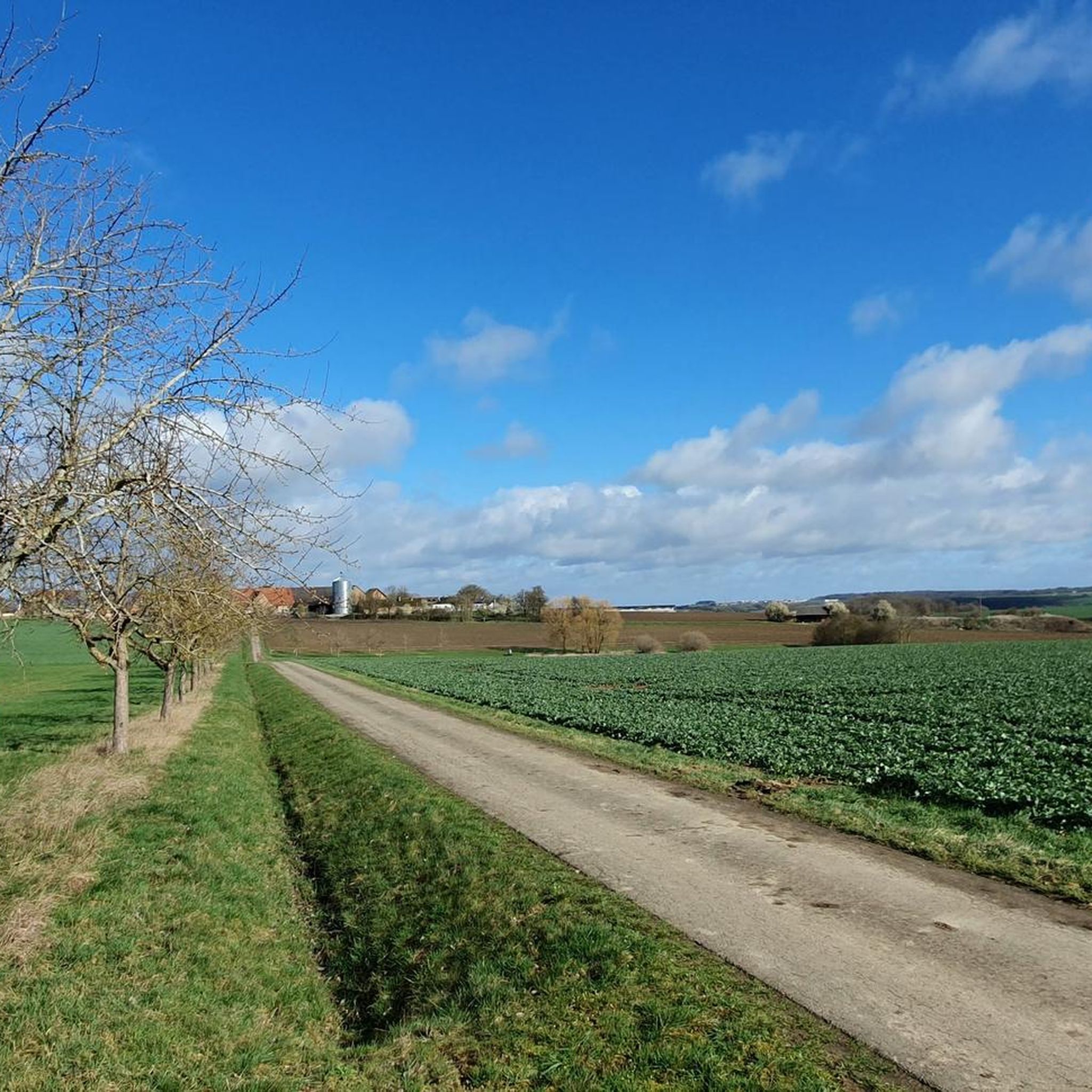
Road cycling routes around Schrozberg are situated in the Franconian-influenced northeast of Baden-Württemberg, Germany, at an altitude of 395 meters above sea level. The region, part of Hohenlohe, is characterized by rolling hills, wide valleys, and mixed forests, with rivers like the Bühler and Tauber shaping the landscape. Cyclists will find routes traversing fertile plains and gentle ascents, offering diverse terrain for road biking.
Best road cycling routes around Schrozberg
- The most popular road cycling route is Marketplace Weikersheim –…
Last updated: July 18, 2026
5.0
(1)
35
riders
Moderate road ride. Good fitness required. Mostly well-paved surfaces and easy to ride.
5.0
(3)
27
riders
Moderate road ride. Good fitness required. Mostly well-paved surfaces and easy to ride.

Sign up for free
15
riders
64.8km
03:15
730m
730m
Moderate road ride. Good fitness required. Mostly well-paved surfaces and easy to ride.
12
riders
54.7km
02:45
790m
790m
Moderate road ride. Good fitness required. Mostly well-paved surfaces and easy to ride.
4.0
(2)
14
riders
57.3km
02:32
450m
450m
Moderate road ride. Good fitness required. Mostly well-paved surfaces and easy to ride.
Get access to more routes and recommendations from other explorers.
Sign up for free
Already have an account?
Our route recommendations are based on thousands of hikes, rides, and runs completed by other people on komoot.
Start today with a free account
Your next adventure awaits.
Login or Signup

Tips from the Community

Flat stairs lead there, so be careful when running 😉
0
0

The last own beer was brewed here in December 2023. Since then, the barley brew from Adler-Brauerei Michelbach has been served here. Adler-Brauerei boss Carl Schmetzer is a cousin of the owner of the former Spielbacher brewery. What still exists is the rustic, traditional, cozy, and very popular brewery inn with the nice hosts. Here you can eat deliciously as if at grandma's, sit comfortably, and feel transported back many decades.
17
0

There is also an information board here.
0
0

the source for the spa stay in Bad Mergentheim
1
0

Nice little gem right on the Jagst Valley cycle path, with a bench for a break included.
2
0

Beautiful old moated castle, worth a visit.
3
0

Erkenbrechtshausen Water Castle is now an event venue. More information about its history, etc.: https://e-schloss.de/das-wasserschloss/
4
0

Be sure to check out the courtyard! What was once a near-ruin has been transformed into a superb location.
4
0
Frequently Asked Questions
How many road cycling routes are available around Schrozberg?
The Schrozberg area offers a wide selection of road cycling routes, with over 90 tours available. These routes cater to various preferences, ranging from easy to challenging.
What is the typical terrain like for road cycling in the Schrozberg area?
Road cycling in the Schrozberg area, part of the Hohenlohe region, is characterized by its diverse and idyllic scenery. You can expect routes through rolling hills and wide valleys, often alongside rivers like the Bühler and Tauber. The landscape also features mixed forests and fertile plains, providing a varied experience with both gentle ascents and flatter stretches.
What are the difficulty levels of road cycling routes around Schrozberg?
The routes around Schrozberg offer a good mix of difficulty levels. There are 15 easy routes, 79 moderate routes, and 3 more challenging options, ensuring there's something for every skill level.
When is the best time of year for road cycling in Schrozberg?
The Hohenlohe region, including Schrozberg, is generally pleasant for road cycling from spring through autumn. The mild weather during these seasons makes it ideal for exploring the rolling hills and river valleys. Summer offers lush green landscapes, while spring and autumn provide beautiful colors and comfortable temperatures.
Are there any loop road cycling routes available?
Yes, many road cycling routes around Schrozberg are designed as loops, allowing you to start and end in the same location. An example is the Schrozberg Castle – St. Anna Chapel Mulfingen loop from Schrozberg, which covers over 54 km.
What historical landmarks or attractions can I see along road cycling routes near Schrozberg?
The region is rich in history and known as the 'Land of Castles and Palaces'. Along your rides, you can encounter historic towns and impressive structures. Schrozberg itself boasts Schrozberg Castle. Nearby attractions include the Langenburg Castle Gardens, the Kobolzeller Gate, and the Galgentor (Würzburger Gate) with city wall in Rothenburg ob der Tauber, which is accessible via cycling routes.
Are there any scenic viewpoints or natural features to look out for?
Absolutely. The Hohenlohe region is known for its idyllic and varied scenery. Cyclists will find routes winding through mixed forests, lush meadows, and fertile plains. Keep an eye out for the picturesque Tauber Valley, the Steinbachtal Valley, and the Saubachtal Nature Trail, which offer beautiful natural vistas.
Is parking available for cyclists in Schrozberg?
Yes, Schrozberg and the surrounding towns typically offer parking facilities. Many routes start from central locations or designated parking areas, making it convenient for cyclists to begin their tours. It's advisable to check specific starting points for detailed parking information.
Can I access road cycling routes in Schrozberg using public transport?
While Schrozberg is a rural area, some public transport options might connect to larger towns in the Hohenlohe region. However, carrying bikes on public transport can be restricted or require special arrangements. For direct access to routes, driving to a starting point is often the most flexible option.
Are there family-friendly road cycling routes in the area?
While many routes feature rolling hills, there are easier options suitable for families. Look for routes with less elevation gain and predominantly paved surfaces. The region's extensive network allows for customization, so you can often find flatter sections or shorter loops that are more manageable for all ages.
What do other road cyclists enjoy most about the routes around Schrozberg?
The road cycling routes around Schrozberg are highly rated by the komoot community, with an average score of 4.8 stars from over 16 reviews. Cyclists often praise the varied terrain, the scenic beauty of the Hohenlohe region's rolling hills and river valleys, and the opportunity to explore historic towns and castles along the way.
Which route offers a good balance of scenic views and moderate challenge?
For a route that combines scenic views with a moderate challenge, consider the Idyllic Road – Schrozberg Castle loop from Schrozberg. This route covers over 57 km with around 450 meters of elevation gain, taking you through picturesque landscapes and past the historic Schrozberg Castle.
Most popular routes around Schrozberg
Most popular attractions around Schrozberg

Get inspired with the komoot mobile app


Explore more
Browse the best Road cycling routes in other regions.
