The best walks and hikes around San Salvatore Telesino
4.6
(85)
269
hikers
26
hikes
Hiking around San Salvatore Telesino offers access to varied landscapes, including the Matese Regional Park and areas characterized by dolines and gorges. The region features a mix of forested paths, open terrain, and geological formations. Trails often follow natural watercourses and lead through areas of historical interest.
Best hiking trails around San Salvatore Telesino
- The most popular hiking route is Grotta delle fate – ring tour – Parco Regionale del Matese, a 2.9 miles (4.6 km) trail that takes…
Last updated: May 12, 2026
5.0
(1)
1
hikers
4.64km
01:36
230m
230m
Easy hike. Great for any fitness level. Easily-accessible paths. Suitable for all skill levels.
4.4
(8)
18
hikers
8.90km
03:02
450m
450m
Hike the moderate 5.5-mile Forre di Lavello Loop Trail in Parco Regionale del Matese, exploring river-carved gorges and ancient paths.

Sign up for free
4.8
(4)
12
hikers
6.37km
01:53
180m
180m
Easy hike. Great for any fitness level. Easily-accessible paths. Suitable for all skill levels.
4.8
(4)
12
hikers
6.40km
02:35
510m
510m
Hike 4.0 miles (6.4 km) to St. Michael's Cave in Parco Regionale del Matese, gaining 1680 feet (512 metres) on this moderate route.
3
hikers
17.4km
06:54
1,200m
1,200m
Tackle the difficult 10.8-mile Monte Erbano and Monte Monaco Loop in Parco Regionale del Matese, featuring 3951 feet of elevation gain.
Get access to more routes and recommendations from other explorers.
Sign up for free
Already have an account?
Our route recommendations are based on thousands of hikes, rides, and runs completed by other people on komoot.
Start today with a free account
Your next adventure awaits.
Login or Signup
Tips from the Community

The castle of Gioia (10th-11th century) was built in the Caselle area on a hill overlooking the valley. The fortified village is among the best preserved in Campania, thanks to the fact that after its abandonment - which presumably occurred towards the end of the 14th century - it was never reoccupied.
0
0
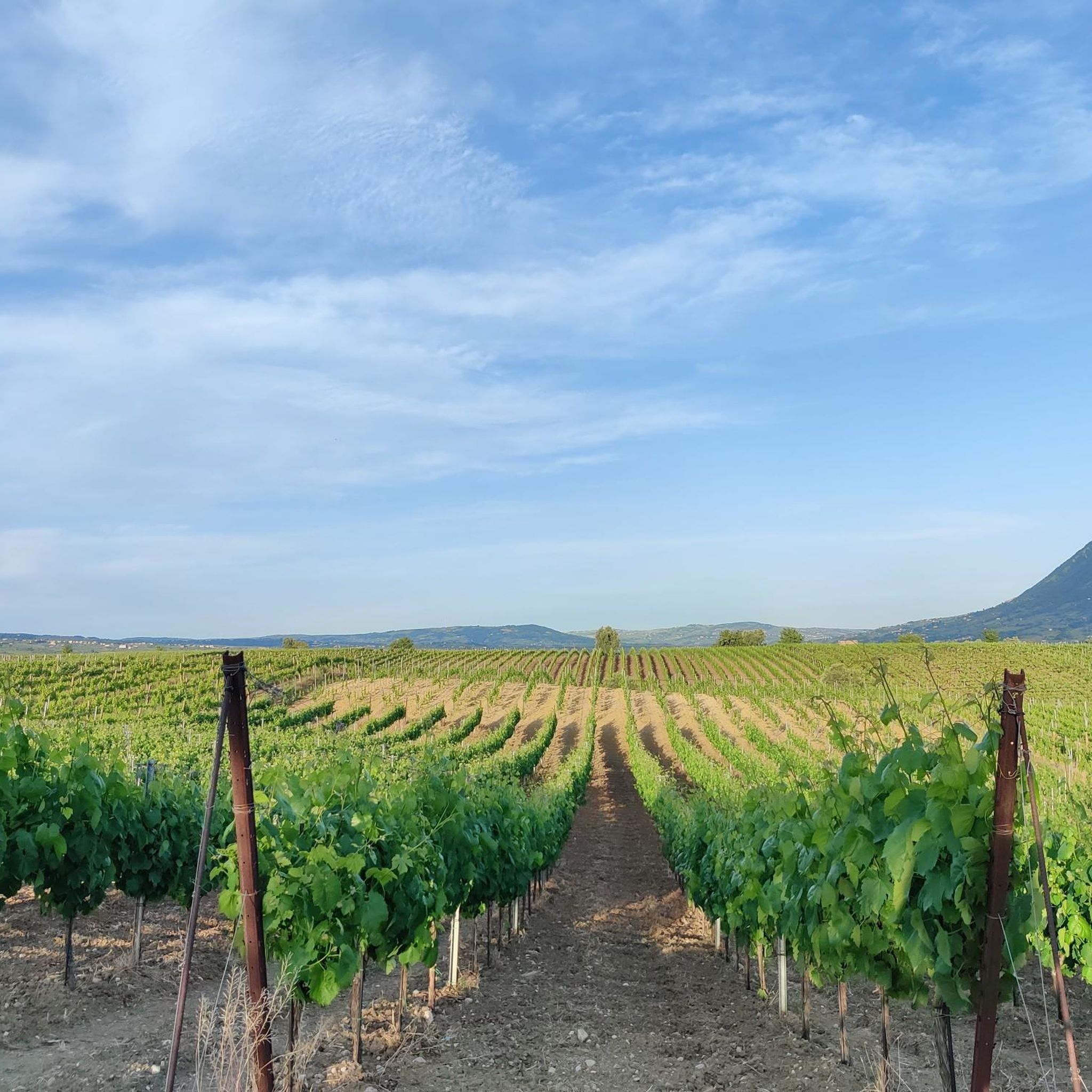
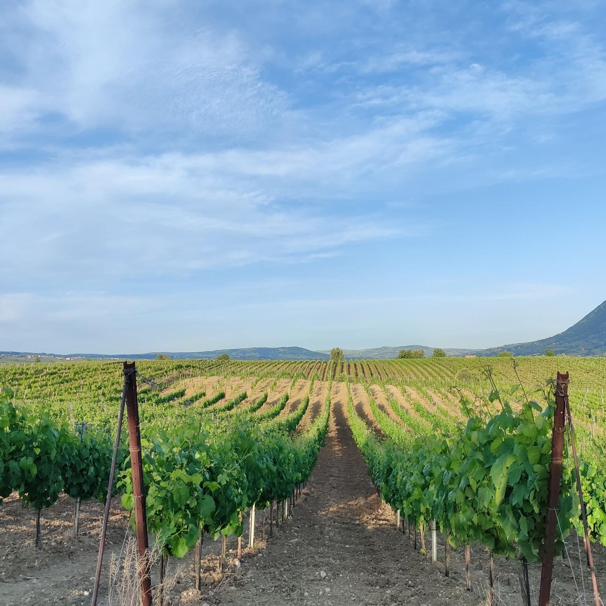
View of the town of Faicchio from the top of Mount Erbano
0
0

The castle of Faicchio is a historic medieval residence that dates back to the mid-12th century. It has an irregular polygon shape with three towers and a monumental entrance door. Today it is home to a museum, there is a restaurant and it is used for events and weddings.
1
0

An interesting route immersed in nature among deep sinkholes of karst origin.
1
1

The cave of S. Michele, at about 500 meters above sea level, was used from the 18th century, and was intended for the cult of the Archangel Michael. Around the cave there is a rest area for hikers. There are various frescoes in a style influenced by the Byzantines.
3
0
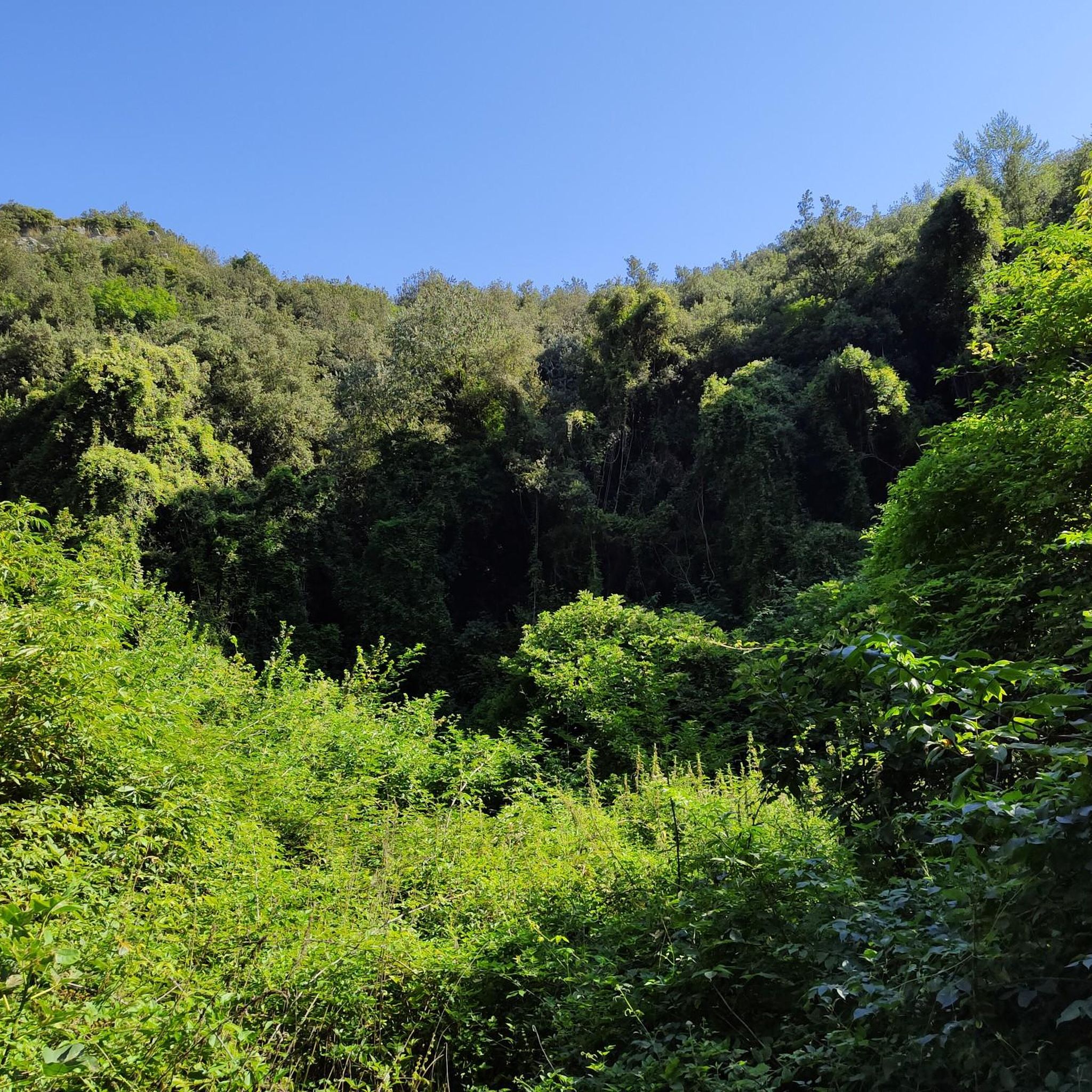
A large sinkhole is hidden within the dense vegetation.
1
0
Faicchio is a small town located at an altitude of 175 m. The name comes from the Latin "fagus", which means beech. Populations were already present during prehistory and during the Roman period. Here there are various interesting monuments, including churches, caves and convents and the castle of Faicchio.
2
0

The building is private and hosts events such as weddings and first communions. Only in the presence of staff and availability can you make a visit
1
0
Frequently Asked Questions
How many hiking trails are available around San Salvatore Telesino?
There are over 20 hiking routes in the San Salvatore Telesino area, catering to various skill levels. You'll find a good mix of easy, moderate, and challenging trails to explore the region's diverse landscapes.
Are there easy or beginner-friendly hiking options in San Salvatore Telesino?
Yes, San Salvatore Telesino offers many easy trails perfect for beginners or those looking for a relaxed walk. For example, the Grotta delle fate – ring tour – Parco Regionale del Matese is an easy 2.9-mile loop, and the From Telese Terme to the dolines of Grassano Park - loop tour is another accessible option.
What kind of natural attractions can I see along the hiking trails?
The region is rich in natural beauty. Hikers can discover unique karst formations like the dolines in Taburno Camposauro Regional Park, explore the dramatic Lavello Gorges, or visit the mysterious Fairy Cave. The area also features serene spots like Lake Telese.
Are there any circular walks available around San Salvatore Telesino?
Yes, many trails in the area are designed as loops, offering convenient circular walks. Examples include the Grotta delle fate – ring tour – Parco Regionale del Matese, the Forre di Lavello Loop Trail, and the challenging Monte Erbano and Monte Monaco Loop.
What is the best time of year to go hiking in San Salvatore Telesino?
The spring and autumn months are generally ideal for hiking in San Salvatore Telesino, offering pleasant temperatures and vibrant scenery. Summer can be warm, so early morning or late afternoon hikes are recommended, while winter offers a different, often quieter, experience, though some higher trails might be affected by weather.
Are there family-friendly hiking trails suitable for children?
Absolutely. Many of the easier trails are suitable for families. The loop tours, such as the one through Parco del Grassano, are often popular with families due to their manageable length and interesting features like the dolines. Always check the specific trail's difficulty and length to ensure it matches your family's capabilities.
What do other hikers enjoy most about hiking in San Salvatore Telesino?
The area is highly rated by the komoot community, with an average score of 4.4 stars. Reviewers often praise the diverse landscapes, from forested paths to unique geological formations like gorges and dolines, as well as the well-maintained trails and opportunities to explore both natural and historical sites.
Are there any trails that lead to caves or interesting geological features?
Yes, the region is known for its karst topography. You can explore the Fairy Cave, which is part of the Grotta delle fate – ring tour. Another option is the St. Michael's Cave Trail 18B, which offers a moderate hike to another notable cave.
Can I find places to picnic or relax near the hiking routes?
Yes, areas like Parco del Grassano, which features in the From Telese Terme to the dolines of Grassano Park - loop tour, often have designated picnic spots or open spaces ideal for a break. Many trails also pass through scenic spots where you can enjoy a packed lunch amidst nature.
Are there any historical landmarks or castles to visit while hiking?
Beyond natural wonders, the region also offers historical points of interest. For example, the Ducal Castle of Castelpagano is a notable landmark in the vicinity, providing a glimpse into the area's past and often accessible via nearby trails or a short detour.
What is the typical duration of hikes in San Salvatore Telesino?
Hikes in San Salvatore Telesino vary significantly in duration. Easy trails like the Grotta delle fate – ring tour can be completed in under two hours, while moderate routes such as the Forre di Lavello Loop Trail might take around three hours. More challenging routes, like the Monte Erbano and Monte Monaco Loop, can extend to six hours or more.
Are dogs allowed on the hiking trails in San Salvatore Telesino?
Generally, dogs are welcome on many hiking trails in the San Salvatore Telesino area, especially in regional parks. However, it's always advisable to keep them on a leash, especially in protected areas or near wildlife, and to check specific park regulations before you go. Always carry water for your dog and clean up after them.
Most popular routes around San Salvatore Telesino
Most popular attractions around San Salvatore Telesino

Get inspired with the komoot mobile app


Explore more
Browse the best Hikes in other regions.
