The best mountain hikes around Campione D'Italia
5.0
(8)
70
hikers
7
hikes
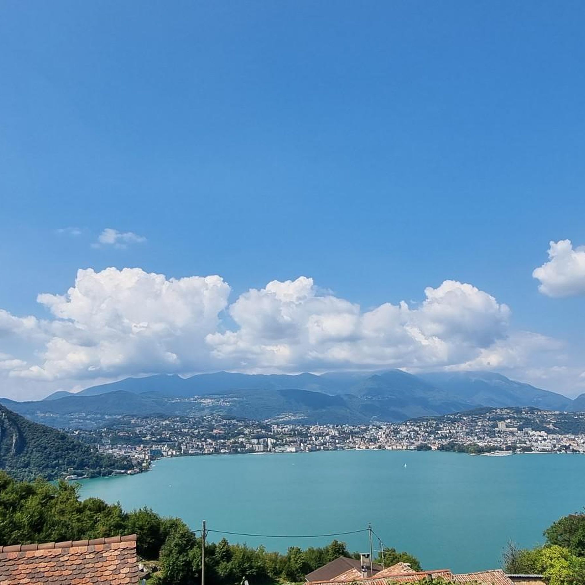
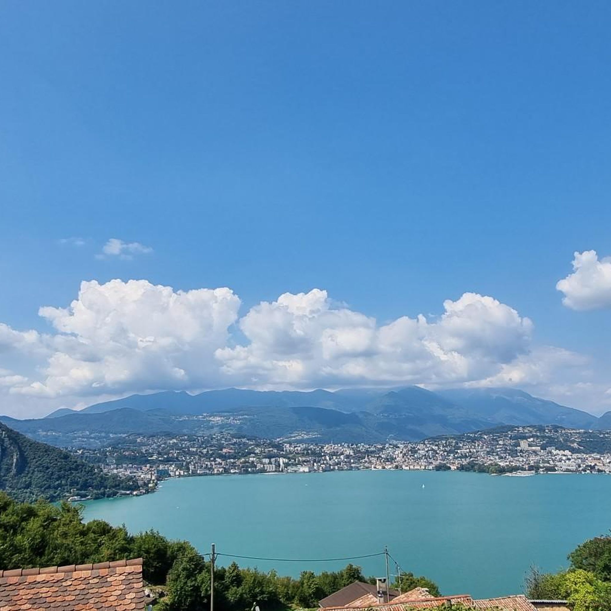
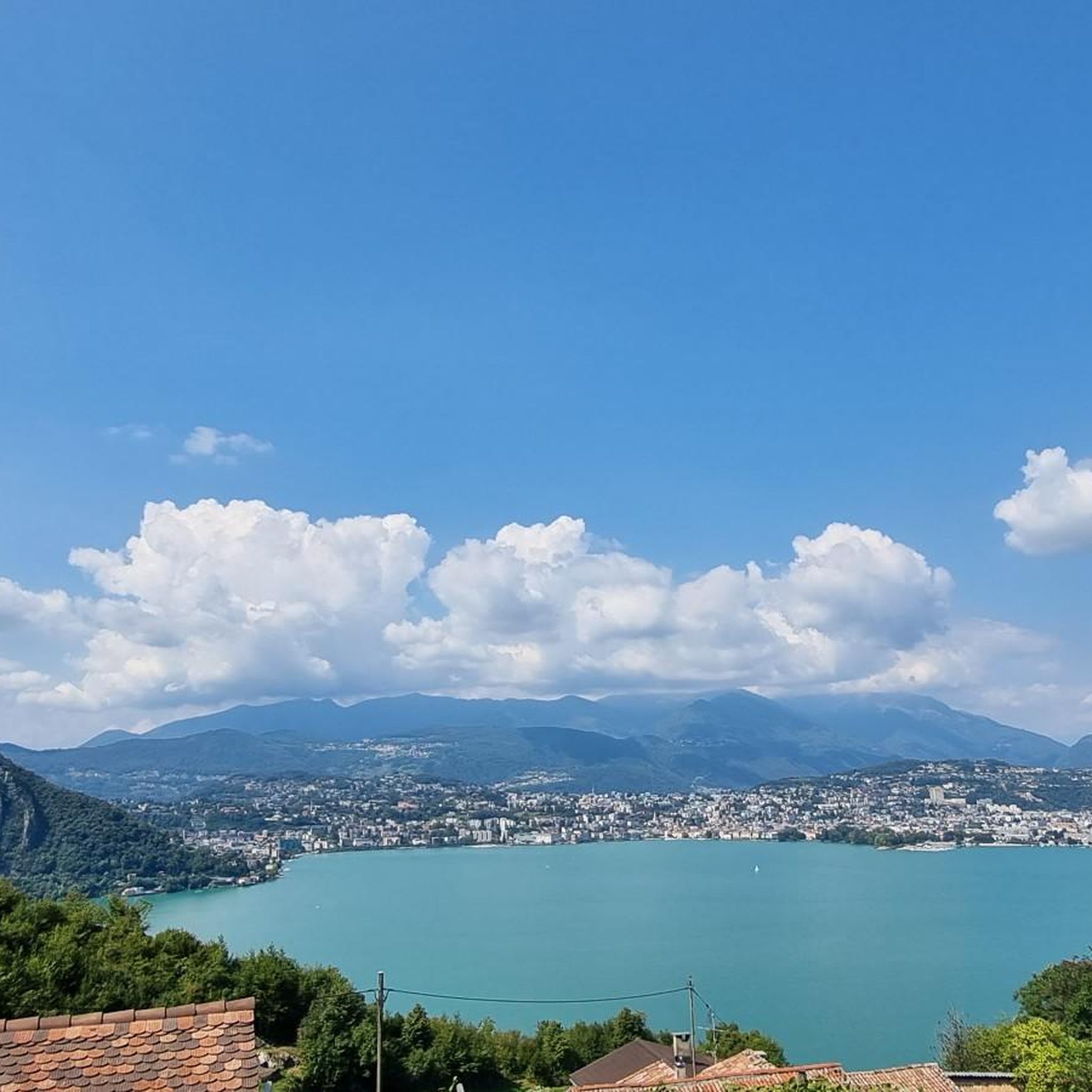
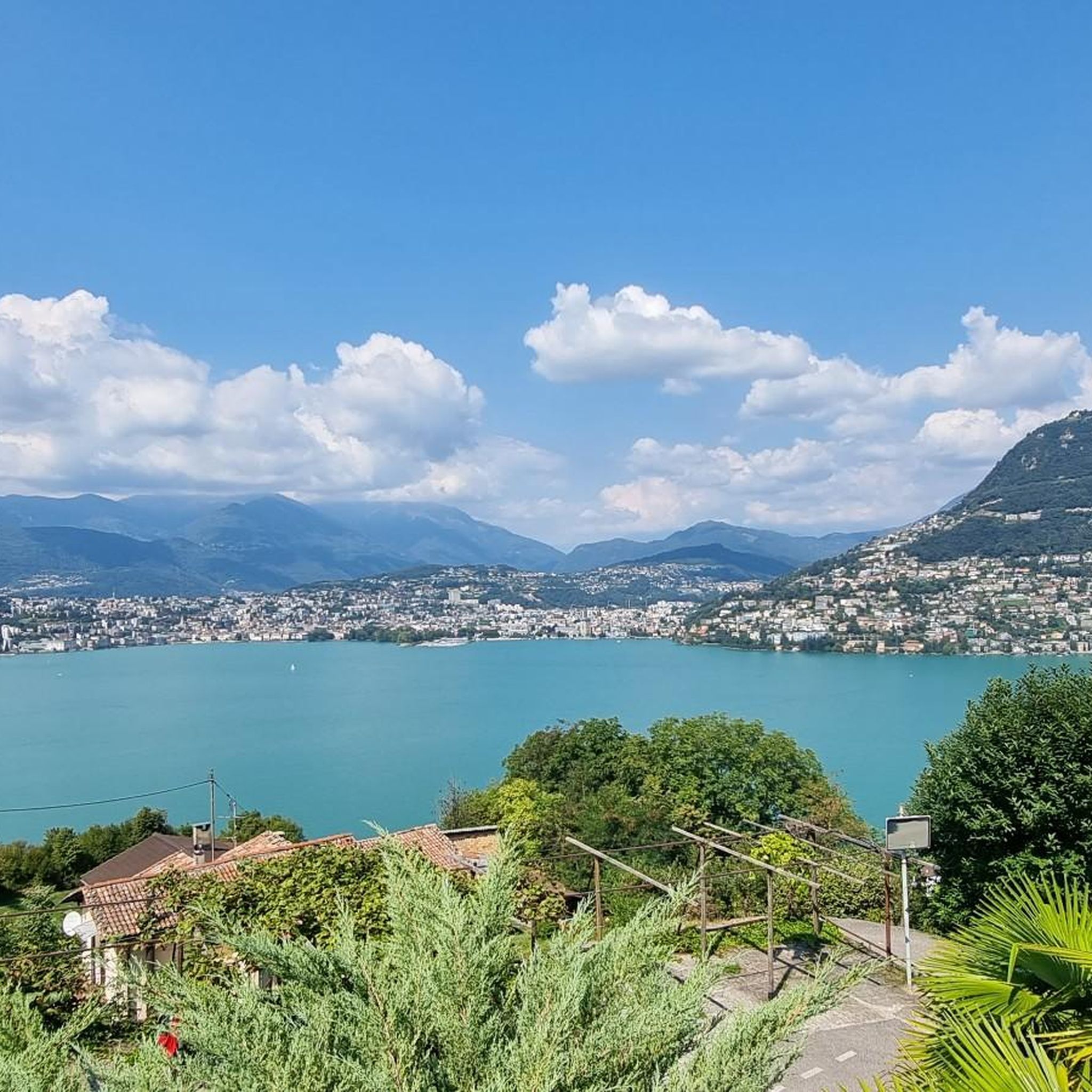
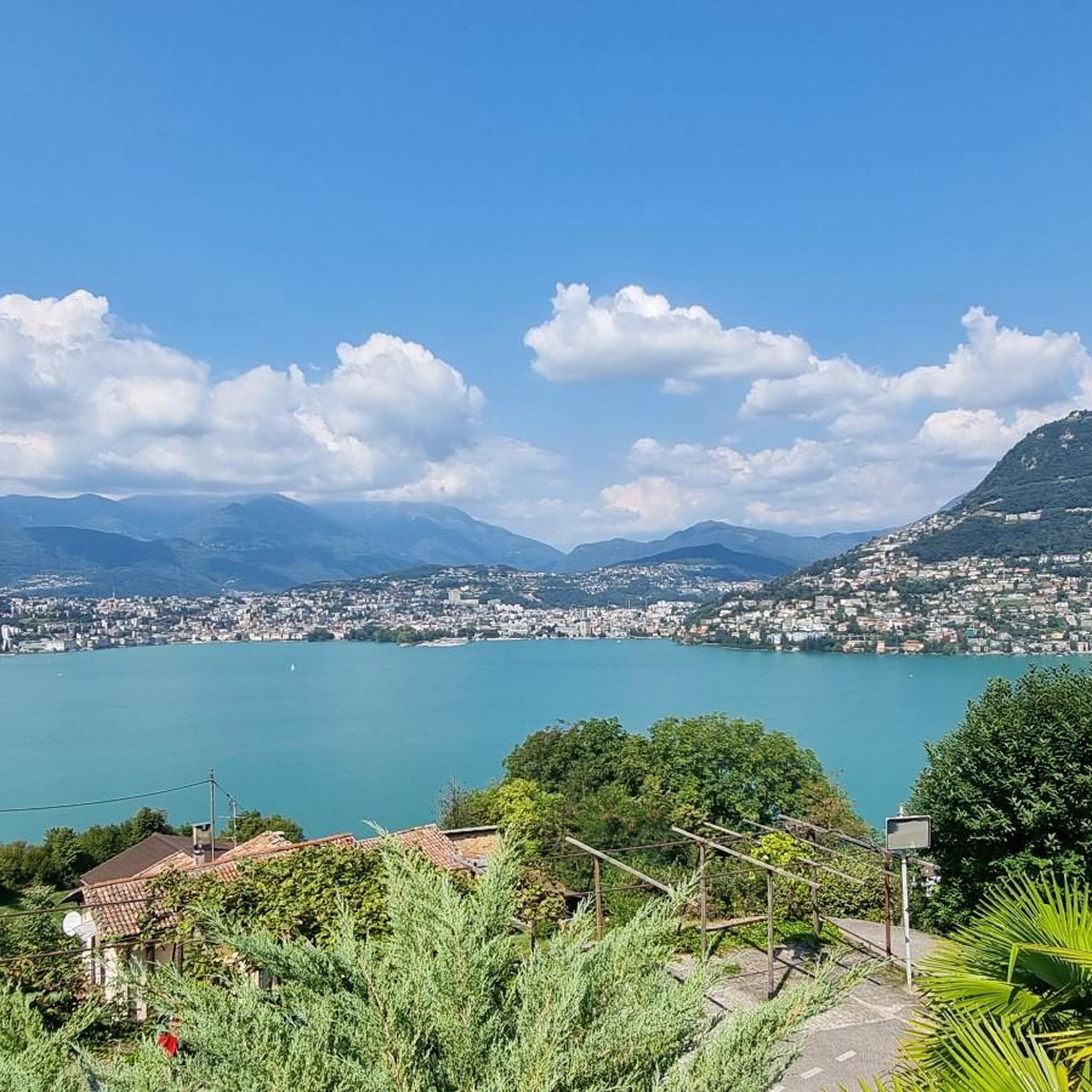
Mountaineering routes around Campione D'Italia are set within a unique geographical landscape, an Italian exclave surrounded by Swiss territory on the shores of Lake Lugano. The region is characterized by prominent mountain peaks, dramatic lake views, and diverse terrain ranging from challenging alpine paths to more accessible trails. This interplay of water and mountains creates a varied environment for outdoor activities.
Best mountaineering routes around Campione D'Italia
- The most popular mountaineering route is Monte San Salvatore – Puntobelvedere loop from Pazzallo, a 3.0 miles (4.8 km) trail that takes 2 hours 20 minutes to complete. This route offers panoramic views of Lake Lugano and the Ticino Alps.
- Another top favourite among local mountaineers is Mountaineering loop from Melano, a moderate 5.5 miles (8.8 km) path. This route features mostly accessible paths, requiring good fitness and sure-footedness.
- Local mountaineers also love the Sasso Rosso – Monte Boglia loop from Brè sopra Lugano, a 6.9 miles (11.1 km) trail leading through demanding alpine terrain, often completed in about 4 hours 50 minutes.
- Mountaineering around Campione D'Italia is defined by prominent mountain peaks like Monte Generoso and Monte San Salvatore, the scenic Lake Lugano, and diverse trail difficulties. The network offers options for various ability levels, from moderate paths to challenging alpine routes.
- The routes in Campione D'Italia are highly rated by the komoot community with an average score of 5.0 stars from more than 10 reviews. More than 100 mountaineers have used komoot to explore Campione D'Italia's varied terrain.
Last updated: May 15, 2026
5.0
(3)
35
hikers
4.38km
02:13
350m
350m
Moderate mountaineering route. Good fitness required. Mostly accessible paths. Sure-footedness required.
5.0
(1)
9
hikers
13.6km
07:08
1,190m
1,190m
Hard mountaineering route. Very good fitness required. Sure-footedness, sturdy shoes and alpine experience required.

Sign up for free
5.0
(1)
6
hikers
11.4km
06:38
1,150m
1,150m
Hard mountaineering route. Very good fitness required. Sure-footedness, sturdy shoes and alpine experience required.
5.0
(1)
5
hikers
12.7km
05:28
790m
800m
Hard mountaineering route. Very good fitness required. Sure-footedness, sturdy shoes and alpine experience required.
5.0
(1)
5
hikers
4.26km
01:48
260m
260m
Moderate mountaineering route. Great for any fitness level. Mostly accessible paths. Sure-footedness required.
Get access to more routes and recommendations from other explorers.
Sign up for free
Already have an account?
Our route recommendations are based on thousands of hikes, rides, and runs completed by other people on komoot.
Start today with a free account
Your next adventure awaits.
Login or Signup

Tips from the Community

From Mount Generoso you can see Switzerland, Brianza, the Varese area and the mountains of Valsassina.
0
0
Beautiful 360° view
0
0
On the path to Mount Generoso
0
0

Path inside the woods. if you are with a racing bike it is better to bring a backpack with a pair of tennis shoes. Travel time about 25-30 min
2
0

very pretty here, very pretty
0
0

Wonderful view, highly recommended 🌞👍
0
0

Chill out by train
0
0

Accessible via Via Verrata Angelo from the north. From south the path is a regular hiking path
0
0
Frequently Asked Questions
What makes mountaineering around Campione D'Italia unique?
Mountaineering in Campione D'Italia offers a distinctive experience due to its unique geographical setting. As an Italian exclave surrounded by Swiss territory on the shores of Lake Lugano, the region provides a dramatic interplay of lake and mountain landscapes. You'll find prominent peaks like Monte Generoso and Monte San Salvatore, offering diverse terrain from challenging alpine paths to more accessible trails, all with breathtaking views of the lake and the Alps.
How many mountaineering routes are available in the Campione D'Italia area?
There are 10 mountaineering routes available around Campione D'Italia, catering to various skill levels. These include 5 moderate and 5 difficult routes, ensuring options for both experienced mountaineers and those looking for a significant challenge.
Are there any circular mountaineering routes near Campione D'Italia?
Yes, several routes in the area are circular, allowing you to start and end at the same point. For example, you can explore the Monte San Salvatore – Puntobelvedere loop from Pazzallo, which offers panoramic views of Lake Lugano, or the more challenging Sasso Rosso – Monte Boglia loop from Brè sopra Lugano.
What are some of the more challenging mountaineering routes in the region?
For experienced mountaineers seeking a challenge, the region offers several difficult routes. The Sasso Rosso – Monte Boglia loop from Brè sopra Lugano is a demanding 6.9-mile trail through alpine terrain. Another strenuous option is the View of Lake Lugano – Monte Generoso Alpine Route loop from Val Mara, which involves over 3,700 feet of elevation gain.
Are there any moderate mountaineering routes suitable for those with good fitness but less alpine experience?
Absolutely. If you have good fitness and sure-footedness but are looking for a less extreme challenge, the Mountaineering loop from Melano is a great option. This 5.5-mile route features mostly accessible paths and is a popular choice among local mountaineers.
What kind of natural attractions can I see along the mountaineering routes?
The region boasts stunning natural features. You can encounter beautiful waterfalls, such as the Waterfall and Panoramic Terrace of Val Mara or the Trallo Waterfall. The area also features caves like the Cave Bear Cave (Grotta dell'Orso) on Monte Generoso, adding to the diverse landscape you'll explore.
Are there historical landmarks or points of interest near the mountaineering trails?
Yes, the area around Campione D'Italia is rich in history. You can find several castles and historical sites, including the Redde Tower, Villa Ciani, and the Castello di Valsolda. These offer interesting detours and insights into the region's past.
What do other mountaineers say about the routes in Campione D'Italia?
The mountaineering routes in Campione D'Italia are highly regarded by the komoot community, holding an average rating of 5.0 stars from over 10 reviews. Users frequently praise the breathtaking panoramic views of Lake Lugano and the Ticino Alps, as well as the diverse terrain that caters to various skill levels.
Is it possible to reach trailheads using public transport?
While specific public transport details for all trailheads are not provided, Monte Generoso, a prominent peak in the area, can be reached by a scenic train from Riva San Vitale. This offers an alternative to driving for accessing some of the higher-altitude routes.
Are there places to eat or stay near the mountaineering routes?
Yes, you'll find options for refreshments and accommodation. The region has traditional 'grottos' which are local restaurants, such as Grotto Sgambada and Grotto Grassi. There are also various accommodation options in and around Campione D'Italia and the surrounding lakeside towns.
What is the best time of year for mountaineering in Campione D'Italia?
The region's diverse trails are generally enjoyable throughout the warmer months. While specific seasonal recommendations for mountaineering aren't detailed, the combination of dramatic Alpine foothills and serene Lake Lugano makes it an attractive destination for outdoor activities from spring through autumn, when conditions are typically most favorable for mountain excursions.
Most popular routes around Campione D'Italia
Most popular attractions around Campione D'Italia

Get inspired with the komoot mobile app


Explore more
Browse the best Mountain Hikes & Routes in other regions.
