The best MTB trails around Rotondi
4.5
(274)
1,403
riders
131
rides
Mountain biking around Rotondi offers a diverse landscape characterized by significant elevation changes and varied terrain. The region features challenging ascents and descents, with routes often traversing through hilly areas and dense woodlands. This area provides a mix of technical trail features and scenic environments, making it suitable for different levels of mountain biking.
Best mountain bike trails around Rotondi
- The most popular mountain bike trail is Forcetelle Hut – Montevergine Sanctuary loop from Rotondi - Paolisi, a difficult…
Last updated: November 2, 2026
4.9
(7)
28
riders
77.5km
06:52
2,390m
2,390m
Hard mountain bike ride. Very good fitness required.
16
riders
35.2km
03:28
1,070m
1,070m
Hard mountain bike ride. Very good fitness required. Advanced riding skills necessary. Some portions of the route may require you to push your bike.

5.0
(1)
10
riders
16.4km
01:49
620m
620m
Moderate mountain bike ride. Good fitness required.
3.7
(3)
12
riders
54.3km
04:48
1,520m
1,520m
Hard mountain bike ride. Very good fitness required.
5.0
(1)
11
riders
61.8km
04:08
1,000m
1,000m
Hard mountain bike ride. Very good fitness required.
Get access to more routes and recommendations from other explorers.
Already have an account?
Our route recommendations are based on thousands of hikes, rides, and runs completed by other people on komoot.
Start today with a free account
Your next adventure awaits.
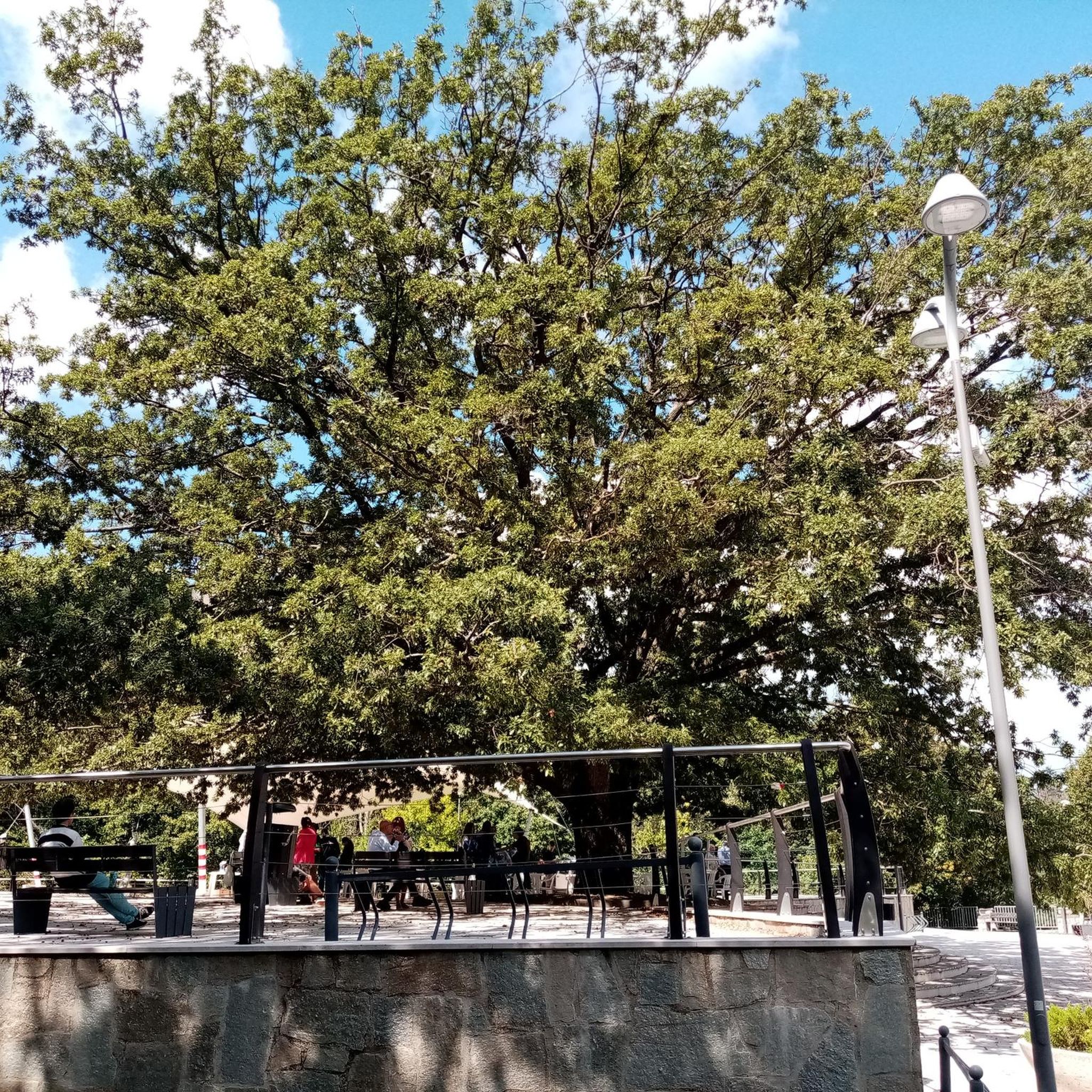
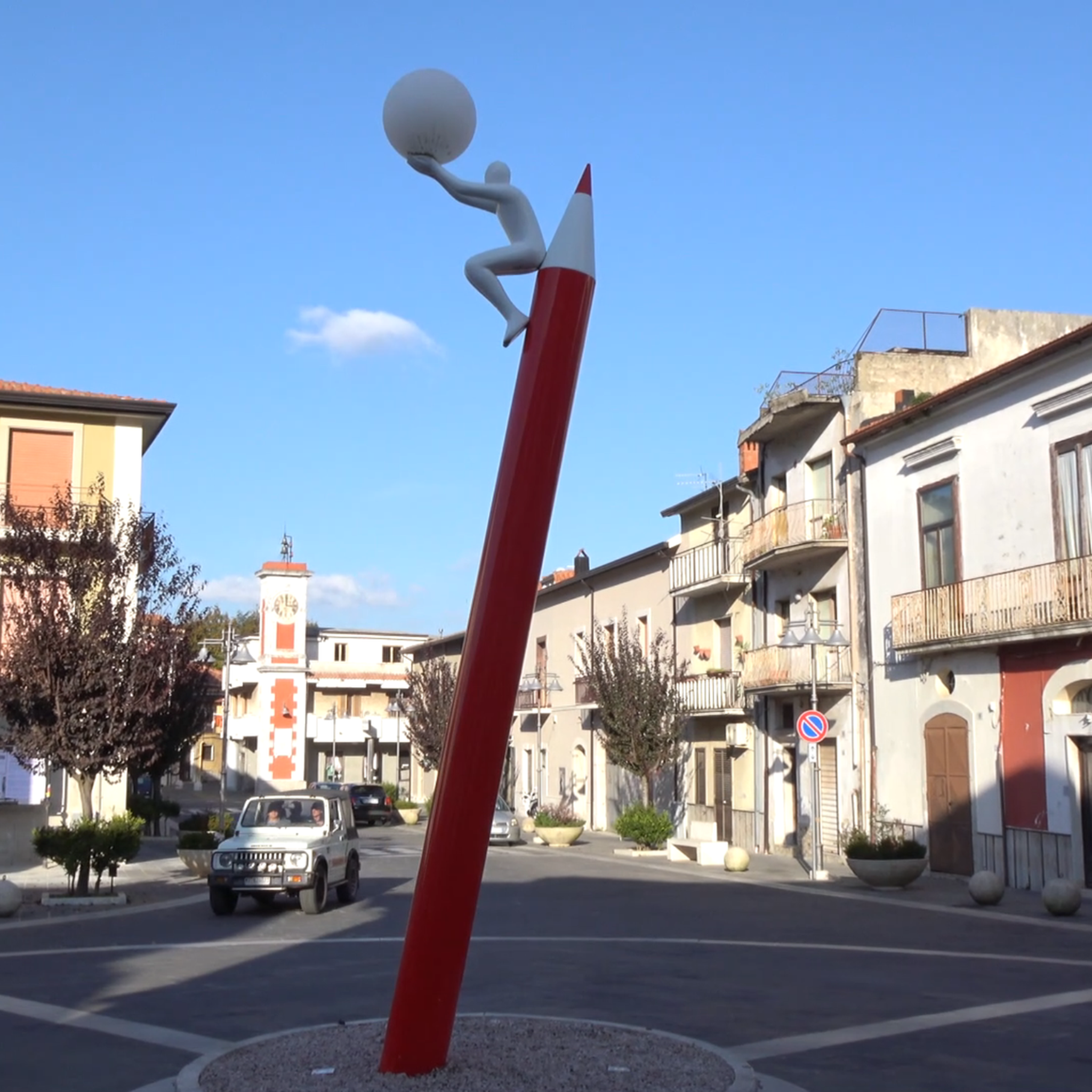
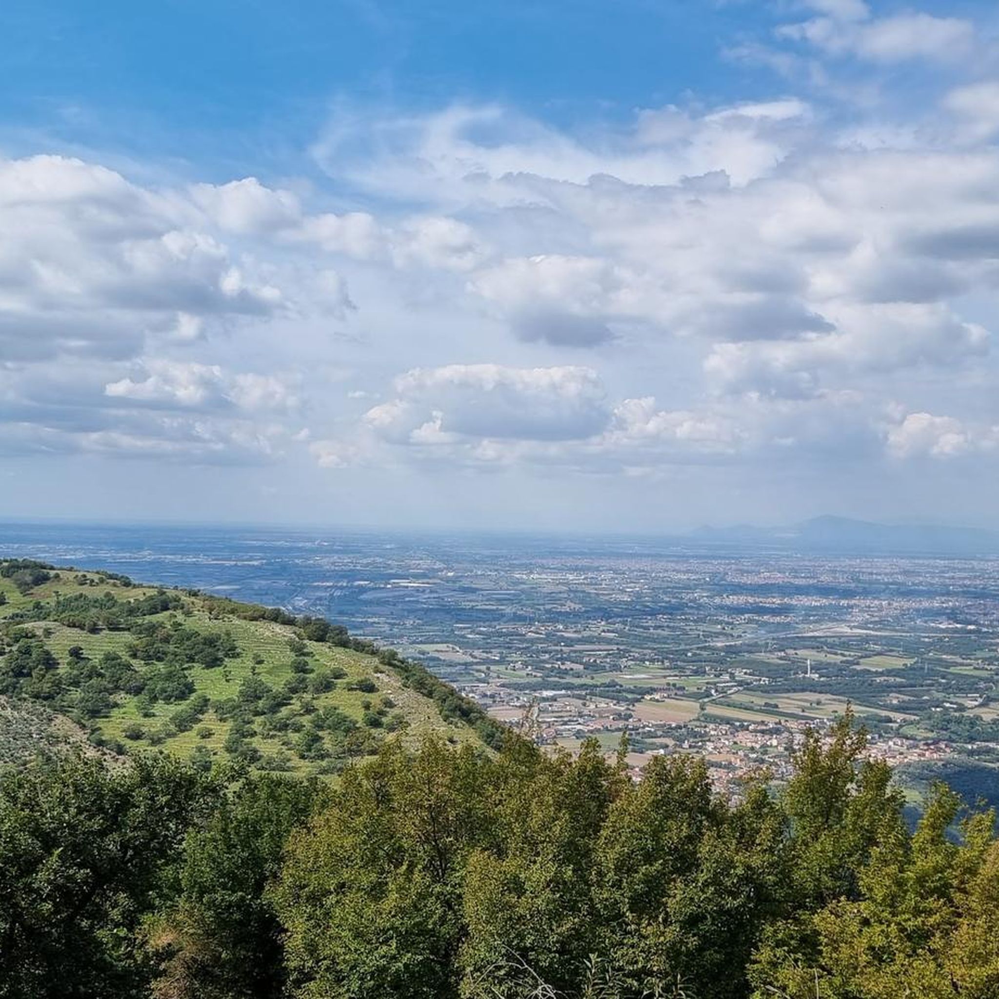

Tips from the Community

Spectacular place, always rideable trails
0
0


City at the gates of the Taburno Camposauro park. From here the paths lead to Monte Taburno and the regional park of the same name.
1
0

Frasso Telesino is a municipality in Campania located on the western slope of the Taburno Camposauro mountain range. From here you can take the road towards Monte Taburno and enter the Taburno Camposauro Regional Park.
1
0
The Prata plain is a depression that separates the Taburno and Camposauro mountains in the Taburno Camposauro Regional Park. Here the provincial road between Frasso Telesino and Cautano crosses with the road heading south towards Monte Taburno.
1
0

The Mafariello refuge and the equipped area are located inside the Parco del Partenio, at the foot of Monte Pizzone. A very peaceful place nestled in the coniferous forest.
0
0

Campo Maggiore is a spectacular plateau where there is a small lake usually dry in the warmer months.... At the ends, two closed shelters. There are also picnic areas with braziers on the road that runs along the expanse.
0
0

splendid view on the main plain, easy to follow beaten path
0
0
Frequently Asked Questions
How many mountain bike trails are available around Rotondi?
There are over 130 mountain bike trails in the Rotondi area, offering a wide range of options for different skill levels. The komoot community has explored these routes over 1,400 times.
What is the overall difficulty level of mountain biking in Rotondi?
The trails around Rotondi offer a diverse range of difficulties. While there are a few easy routes, the majority are moderate (around 75 trails) to difficult (over 50 trails), characterized by significant elevation changes and varied terrain. This makes the area particularly appealing to riders seeking a challenge.
What do other mountain bikers say about the trails in Rotondi?
The mountain bike trails in Rotondi are highly rated by the komoot community, with an average score of 4.7 stars from nearly 200 reviews. Riders often praise the challenging ascents and descents, the diverse landscapes, and the technical features found on many routes.
What are the typical terrain characteristics of mountain bike trails near Rotondi?
Mountain bike trails near Rotondi are defined by significant elevation changes, diverse terrain, and technical features. You'll encounter challenging ascents and descents, often traversing hilly areas and dense woodlands within the stunning Pollino National Park. Some trails feature technical elements like berms, drops, and jumps, providing a dynamic riding experience.
Are there trails suitable for advanced mountain bikers seeking a challenge?
Yes, Rotondi offers numerous challenging trails for advanced mountain bikers. For instance, the Forcetelle Hut – Montevergine Sanctuary loop from Rotondi - Paolisi is a difficult 77.5 km route with over 2,300 meters of elevation gain. Another demanding option is the Tuppo Alto – Trail to Avella loop from Cervinara, which covers nearly 30 km with over 1,000 meters of ascent.
Are there any easy or beginner-friendly mountain bike trails in Rotondi?
While the region is known for its challenging terrain, there are a few easy mountain bike trails available. These routes typically offer less elevation gain and smoother surfaces, providing a good starting point for beginners or those looking for a more relaxed ride.
When is the best time of year to go mountain biking in Rotondi?
The diverse landscapes and significant elevation changes in Rotondi make it suitable for mountain biking across multiple seasons. However, to avoid extreme heat or potential winter conditions at higher altitudes, spring and autumn generally offer the most pleasant weather for exploring the trails.
Are there options for e-biking in the Rotondi area?
Yes, the Rotondi area is accommodating to e-biking. Several trails allow electric bicycles, which can be particularly helpful for tackling the region's significant elevation changes and extending your range, making the challenging terrain accessible to a wider audience.
Are there any specific viewpoints or landmarks to look out for on the trails?
Yes, the area around Rotondi is rich in historical and natural landmarks. You might encounter sites like the Sanctuary of Sant'Angelo a Palombara or the Castello di Arienzo (Castem Vetus). The region also features charming villages and stunning landscapes within the Pollino National Park, offering picturesque views throughout your ride.
Can I find accommodation or places to eat near the mountain bike trails in Rotondi?
Rotondi and the surrounding charming villages offer various amenities. While specific cafes or accommodations directly on the trails are not detailed, you can expect to find options for food and lodging within the towns and villages that serve as starting points or pass-throughs for many routes.
Are there any circular mountain bike routes available?
Yes, many of the mountain bike routes around Rotondi are designed as loops, allowing you to start and end in the same location. Examples include the Piana di Lauro – Piano del Fieno loop from Cervinara and the Paolosi Tunnel loop from Cervinara, which offer varied distances and difficulties.
What are some longer mountain bike routes for extended rides?
For extended rides, consider routes like the Forcetelle Hut – Montevergine Sanctuary loop from Rotondi - Paolisi, which spans 77.5 km. Another substantial option is the View of Frasso Telesino loop from Cervinara, covering nearly 60 km with significant elevation changes.
Most popular attractions around Rotondi

Get inspired with the komoot mobile app


Explore more
Browse the best MTB trails in other regions.
