The best walks and hikes around Calabritto
4.3
(247)
707
hikers
49
hikes
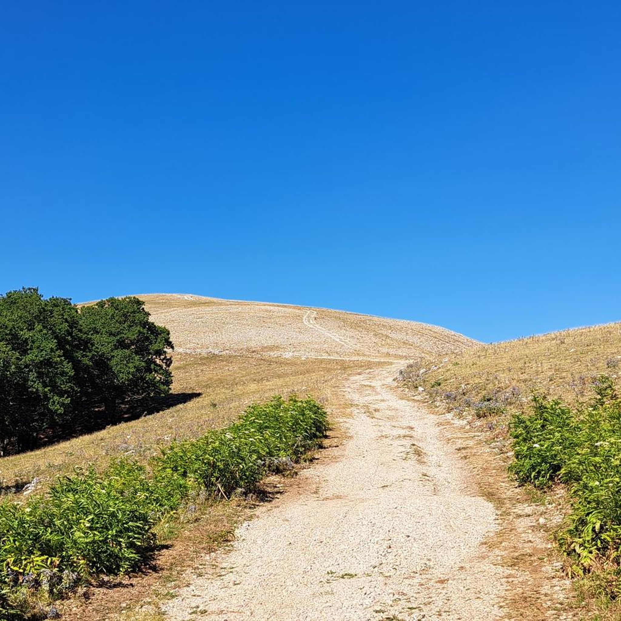
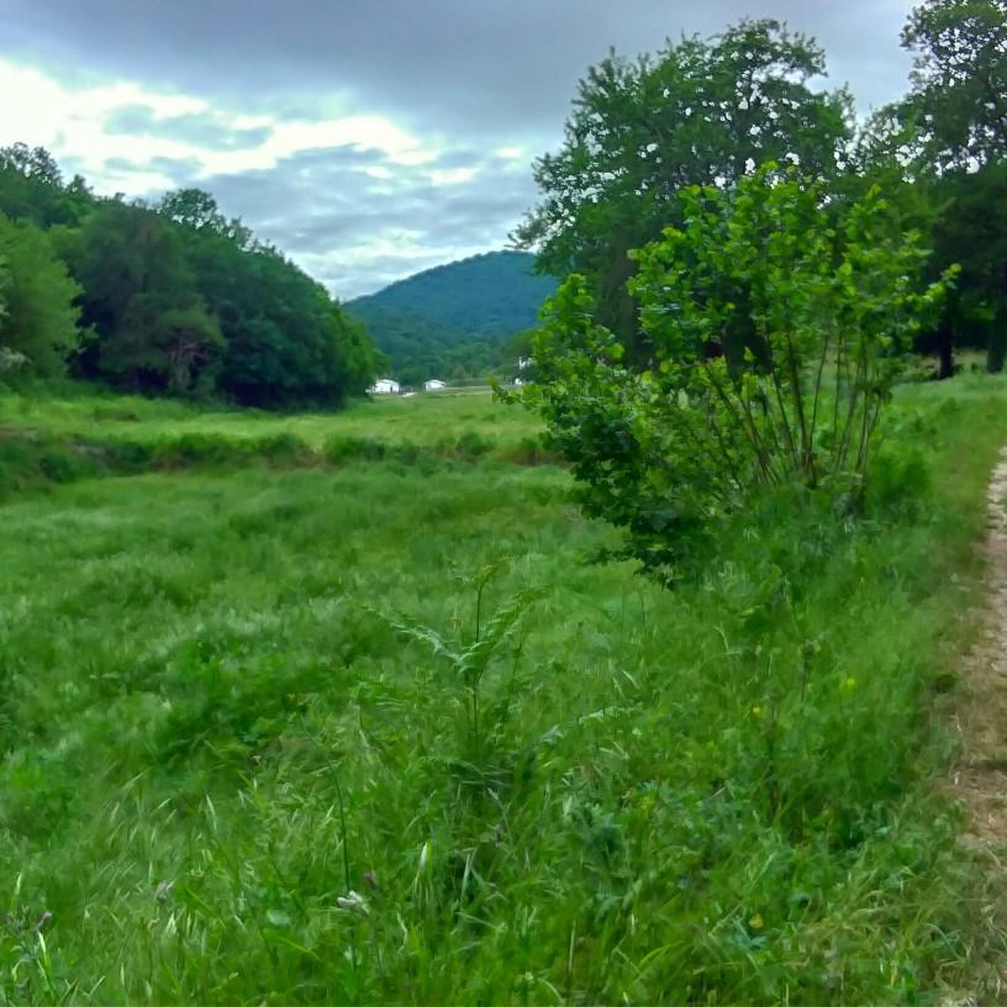
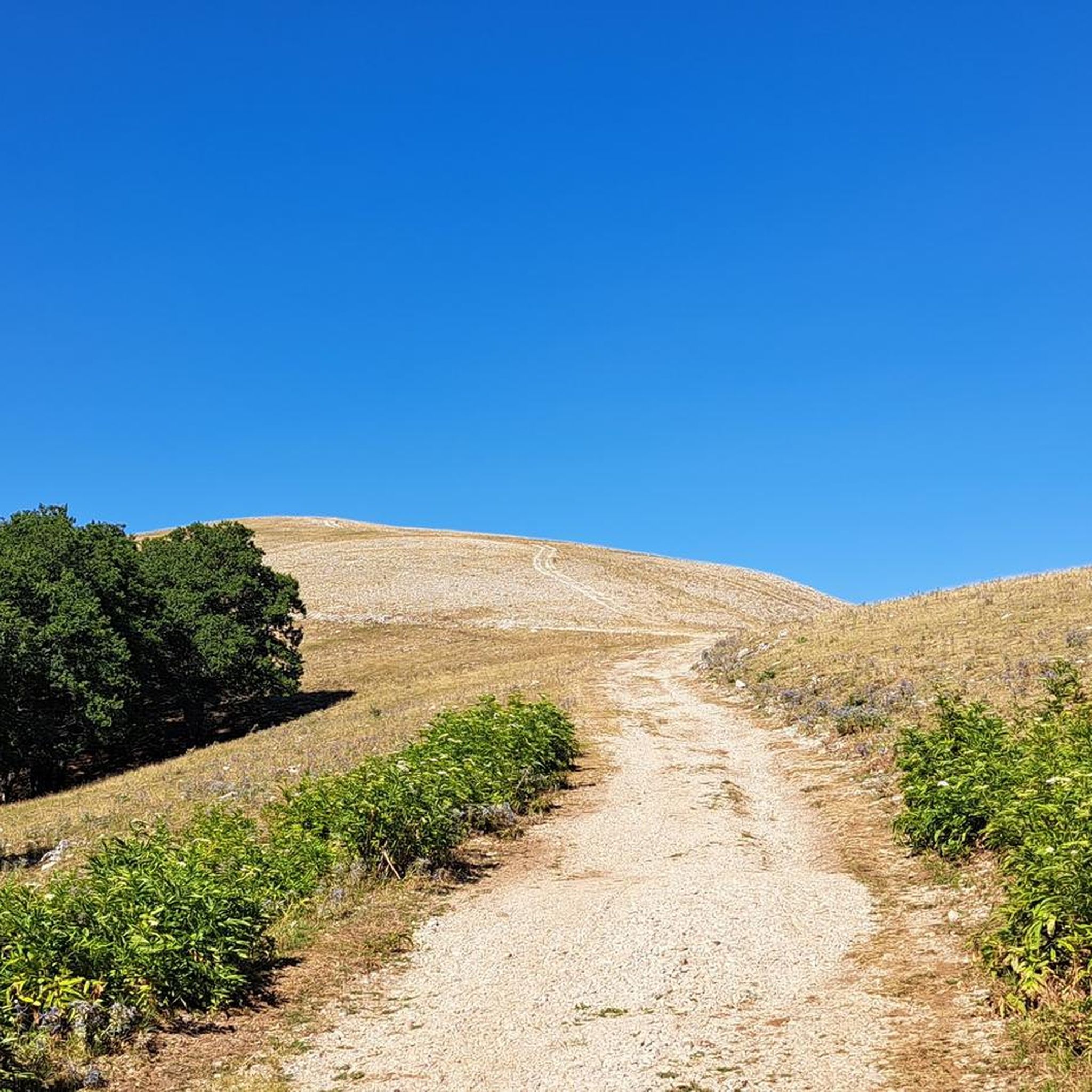
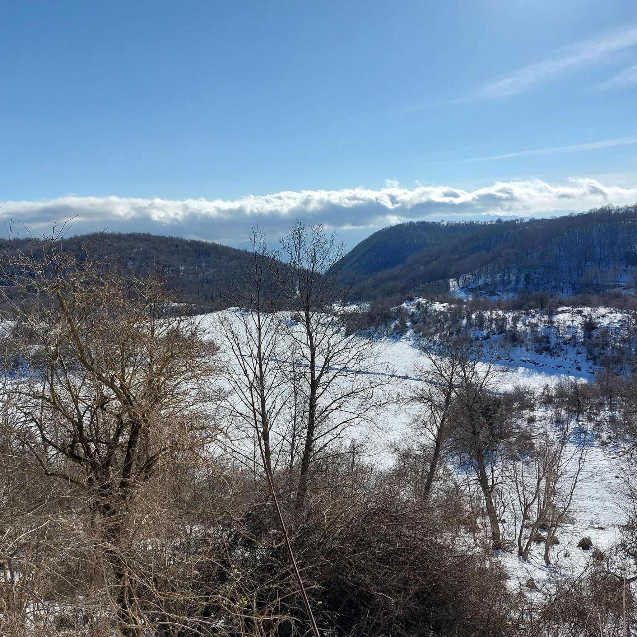
Hiking around Calabritto offers exploration within a hilly-mountainous area at the eastern tip of the Monti Picentini range, part of the Picentini Mountains Natural Park. The region is characterized by mountainous terrain, numerous waterfalls, and significant rivers like the Sele and Zagarone stream. Hikers can navigate paths through dense forests of beech, oak, and maple, encountering varied elevations and geological formations. This diverse landscape provides a rich backdrop for outdoor activities.
Best hiking trails around Calabritto
- The most popular hiking…
Last updated: November 6, 2026
4.4
(16)
41
hikers
10.6km
03:23
440m
440m
Moderate hike. Good fitness required. Easily walkable paths.
4.0
(4)
10
hikers
4.51km
01:21
140m
140m
Easy hike. Easily walkable paths.

5.0
(1)
6
hikers
10.4km
04:26
930m
930m
Hard hike. Very good fitness required. Easily walkable paths.
4.6
(8)
35
hikers
4.03km
01:16
160m
160m
Easy hike. Easily walkable paths.
4.6
(11)
47
hikers
12.8km
04:20
580m
580m
Moderate hike. Good fitness required. Mostly walkable paths. Sure-footedness required.
Get access to more routes and recommendations from other explorers.
Already have an account?
Our route recommendations are based on thousands of hikes, rides, and runs completed by other people on komoot.
Start today with a free account
Your next adventure awaits.
Tips from the Community

At the end of trail 05 is the beautiful "Cascata ru lu Fuorchiu"
2
0
Intersection Sentiero 01 and Sentiero 06, not marked on maps (August 2026)
2
0
Old refuge with well
2
0
More drinking water along the route: the fountain of the doves (palummi)
2
0
“Cascate ru ru Cumunigli” are located along Trail 03 of the natural waterfalls area of Calabritto (AV), in the heart of the Monti Picentini mountains. The route, just under a kilometer long, is of the hiking (E) type and allows you to admire the suggestive upper and lower falls formed by the Acquara stream.
2
0
La Grotta del Brigante in Calabritto (Avellino) is a historic refuge within the Monti Picentini Regional Park. Immersed in a naturalistic area rich in woods and waterfalls, the cave is linked to the historical events of southern brigandage that characterized these mountains after the Unification of Italy.
1
0
On one of the peaks of Cervialto, there is the radio station of the Firefighters of the Lioni section. ... https://it.wikipedia.org/wiki/Monte_Cervialto
1
0
Some information: infoirpinia.it/santuario-della-madonna-del-fiume-calabritto-percorso-trekking
3
0
Frequently Asked Questions
How many hiking trails are available around Calabritto?
Calabritto offers a diverse network of over 40 hiking routes. These trails vary in difficulty, providing options for casual walkers, families, and experienced hikers looking for more challenging ascents.
Are there any easy hiking trails suitable for beginners or families in Calabritto?
Yes, Calabritto has 7 easy hiking trails perfect for beginners or families. A great option is the Tuorno Waterfall Trail, an easy 2.8-mile (4.5 km) path that explores the picturesque Cascate di Calabritto, including the Cascata del Tuorno.
Can I find trails with waterfalls in Calabritto?
Calabritto is renowned for its abundant waterfalls. The area features the impressive Rivezzuolo, the highest waterfall in Avellino province, and the 'Calabritto Waterfalls' formed by the Rio Zagarone. You can explore trails like the Bard'natore Waterfall loop from Cascata del Tuorno to experience these natural wonders, or visit the Acquabianca Waterfall.
Are there any circular hiking routes in Calabritto?
Yes, there are several circular routes available. For example, the The Bard'natore Waterfall loop from Cascata del Tuorno is an easy 2.8-mile (4.5 km) loop that takes you past beautiful waterfalls. Another option is the Start of the Final Section loop from Piano dei Vaccari, a moderate 7.1-mile (11.4 km) route.
What kind of natural landmarks or viewpoints can I expect to see on hikes around Calabritto?
Hiking around Calabritto offers a variety of natural landmarks. You can discover the unique “Grotta Profunnata” in the Oasi Valle della Caccia, or the stunning Acquabianca Waterfall. The region is also characterized by dense forests of beech, oak, and maple, providing scenic views throughout your journey.
Are there any historical sites or cultural attractions accessible via hiking trails?
Absolutely. A notable destination is the Rock Church of Madonna del Fiume, uniquely located inside a karst cave, which you can reach via the Madonna del Fiume Trail. Additionally, the ruins of Castello di Quaglietta offer historical insights and panoramic views overlooking the Sele valley.
What is the best time of year to go hiking in Calabritto?
The hilly-mountainous terrain of Calabritto, with its abundant waterways and forests, makes it enjoyable across multiple seasons. Spring and autumn generally offer pleasant temperatures and vibrant scenery, ideal for exploring the waterfalls and dense woodlands. Summer can also be suitable, especially for higher elevation trails, but always check local weather conditions.
What do other hikers enjoy most about hiking in Calabritto?
The hiking experience in Calabritto is highly rated by the komoot community, with an average score of 4.5 stars from over 180 reviews. Hikers frequently praise the region's diverse landscapes, from its numerous waterfalls and mountainous terrain to the tranquil forests. The unique blend of natural beauty and historical sites, such as the Rock Church of Madonna del Fiume, is also a highlight for many.
Are there challenging hikes for experienced trekkers in Calabritto?
Yes, for experienced trekkers, Calabritto offers 14 difficult routes. The Monte Altillo – Parco Regionale dei Monti Picentini trail is a challenging 6.4-mile (10.4 km) route that leads through mountainous terrain, often taking over 4 hours to complete and featuring significant elevation changes.
Is Calabritto a dog-friendly hiking destination?
While specific regulations for dogs on trails can vary, the natural environment of Calabritto, with its extensive forests and open spaces, generally welcomes dogs. It's always recommended to keep dogs on a leash, especially near wildlife or other hikers, and to carry waste bags. Check local signage for any specific restrictions on certain trails or protected areas.
What kind of terrain should I expect on the hiking trails in Calabritto?
The terrain in Calabritto is varied, reflecting its location within the Monti Picentini range. You can expect paths through dense forests of beech, oak, and maple, alongside rivers and streams, and up mountainous slopes. Some routes may involve rocky stretches, especially on higher elevations, so sturdy footwear is advisable.
Are there any places to explore caves or unique geological formations?
Yes, Calabritto's karst landscape offers intriguing subterranean attractions. The Rock Church of Madonna del Fiume is uniquely situated inside a cave. Additionally, the “Grotta Profunnata” within the Oasi Valle della Caccia is a fascinating cave system, parts of which can be explored with appropriate equipment and guidance.
Most popular attractions around Calabritto

Get inspired with the komoot mobile app


Explore more
Browse the best Hikes in other regions.
