The best walks and hikes around San Giovanni A Piro
4.7
(166)
677
hikers
26
hikes
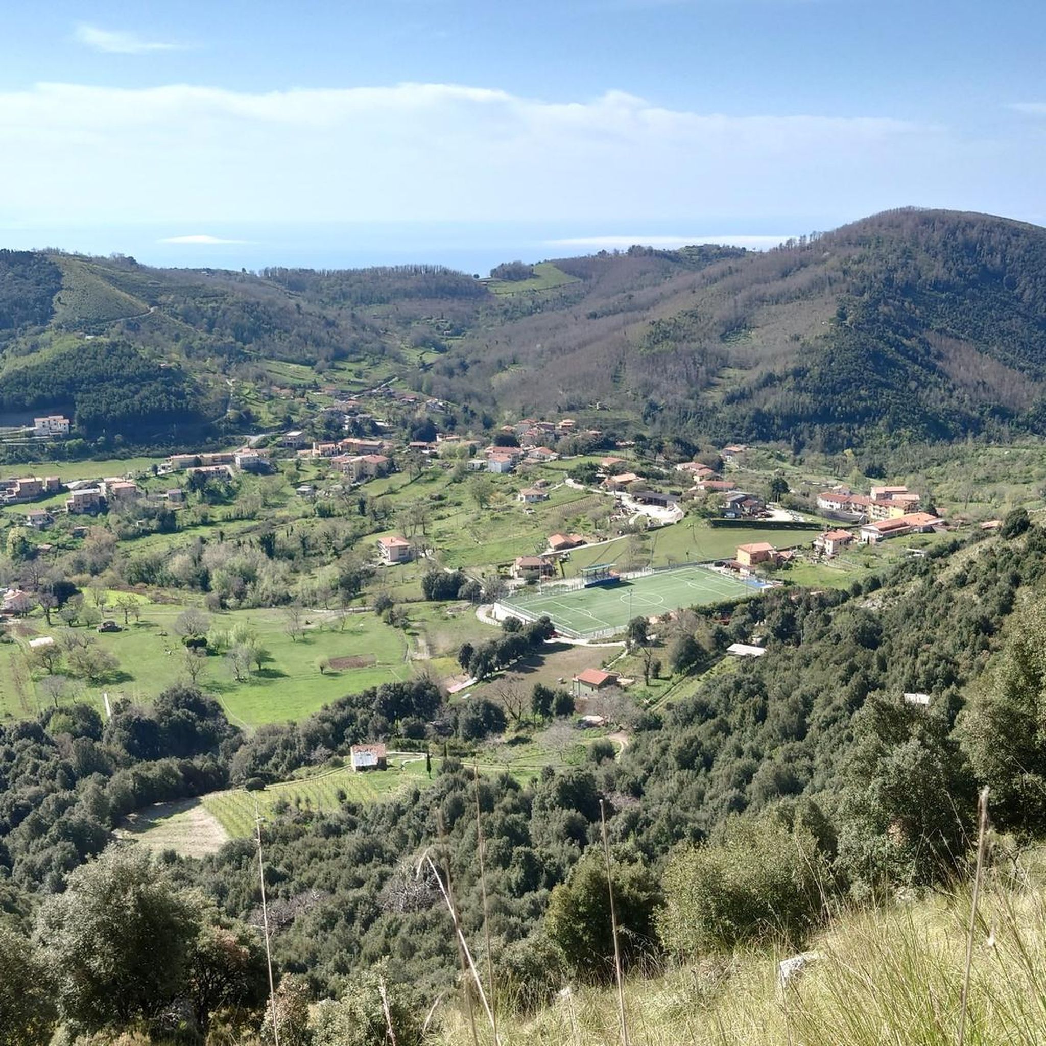
Hiking around San Giovanni A Piro offers diverse terrain within the Cilento and Vallo di Diano National Park. The region features a blend of mountainous landscapes, including Monte Bulgheria, and coastal areas with views over the Gulf of Policastro. Trails traverse varied ecosystems, from higher elevations to paths leading to the sea.
Best hiking trails around San Giovanni A Piro
- The most popular hiking route is View of the Gulf of Policastro – Monte Bulgheria Summit loop from San Giovanni a Piro, a 5.4 miles (8.7 km) trail that takes 3 hours 33 minutes to complete, offering panoramic views from Monte Bulgheria.
- Another top favourite among local hikers is Molara Beach – Water Cave loop from Scario, an easy 3.8 miles (6.2 km) path. This route explores the coastline, leading to Molara Beach and a water cave.
- Local hikers also love the View of the Morice Tower loop from San Giovanni a Piro, a 4.2 miles (6.8 km) trail leading through coastal hills and past historic watchtowers, often completed in about 2 hours 38 minutes.
- Hiking around San Giovanni A Piro is defined by rugged mountains, pristine coastline, and diverse ecosystems. The network offers options for different ability levels, from easy coastal walks to more challenging mountain ascents.
- The routes in San Giovanni A Piro are highly rated by the komoot community with an average score of 4.7 stars from over 180 reviews. More than 700 hikers have used komoot to explore San Giovanni A Piro's varied terrain.
Last updated: May 12, 2026
4.4
(34)
119
hikers
Moderate hike. Good fitness required. Mostly accessible paths. Sure-footedness required.
4.8
(26)
94
hikers
6.18km
01:44
130m
130m
Easy hike. Great for any fitness level. Easily-accessible paths. Suitable for all skill levels.

Sign up for free
4.5
(10)
22
hikers
11.3km
04:38
670m
670m
Hard hike. Good fitness required. Sure-footedness, sturdy shoes and alpine experience required.
4.7
(10)
45
hikers
Moderate hike. Good fitness required. Mostly accessible paths. Sure-footedness required.
5.0
(8)
19
hikers
Easy hike. Great for any fitness level. Easily-accessible paths. Suitable for all skill levels.
Get access to more routes and recommendations from other explorers.
Sign up for free
Already have an account?
Our route recommendations are based on thousands of hikes, rides, and runs completed by other people on komoot.
Start today with a free account
Your next adventure awaits.
Login or Signup
Other adventures around San Giovanni A Piro

Tips from the Community

Here, take the Lequa trail, which intersects with the Hermits' Trail after about 4 km and leads to the summit of Mount Bulgheria. Info on Mount Bulgheria: https://www.cilentano.it/monti-del-cilento-il-monte-bulgheria
1
0
Here's information about Mount Bulgheria: https://www.cilentano.it/monti-del-cilento-il-monte-bulgheria/
1
0
Near the San Giovanni a Piro municipal sports field, the trail to Monte Bulgheria begins, following the Sentiero degli Eremiti (Hermits' Path). Parking is available for three to four cars.
1
0

The Ciolandrea plateau is a recently built lookout point. The view of the Gulf of Policastro from here is truly breathtaking. The place is quiet and perfect for recharging your batteries. This is the starting point for trails leading to secluded coves, but you must pay close attention to the path. There's also a drinking fountain here.
1
0

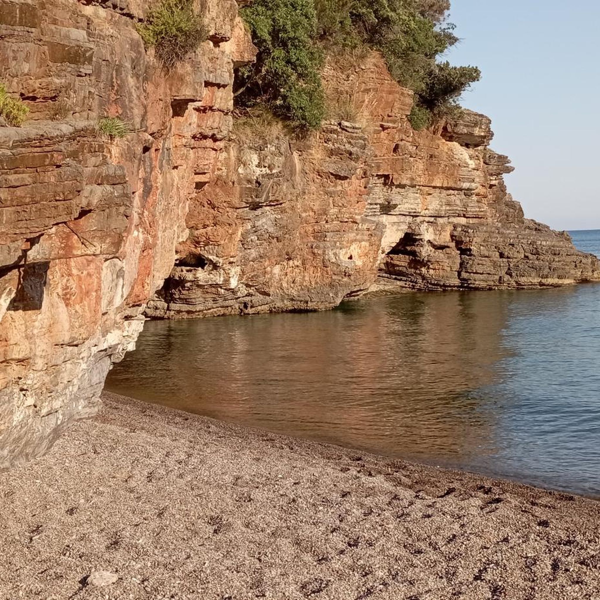
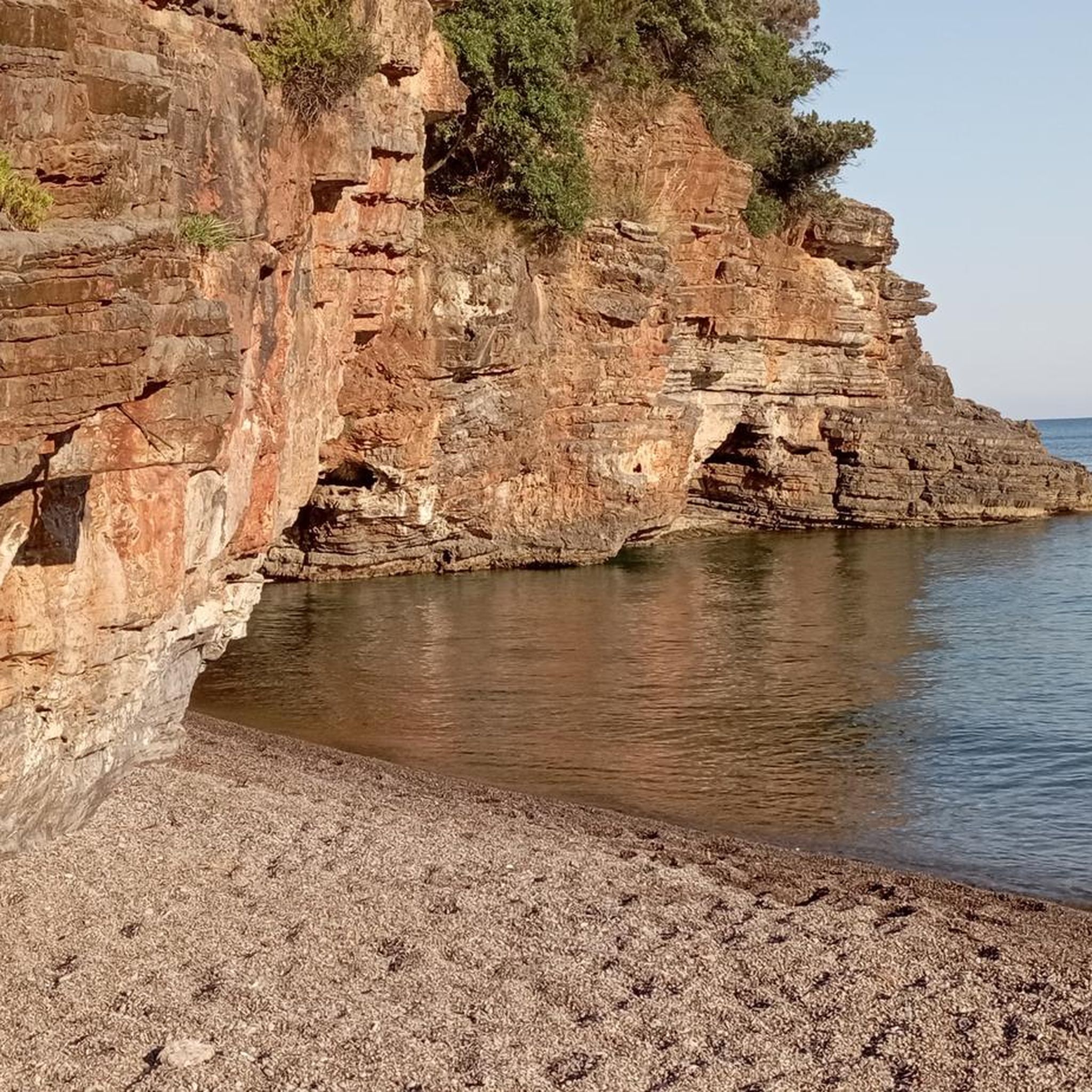
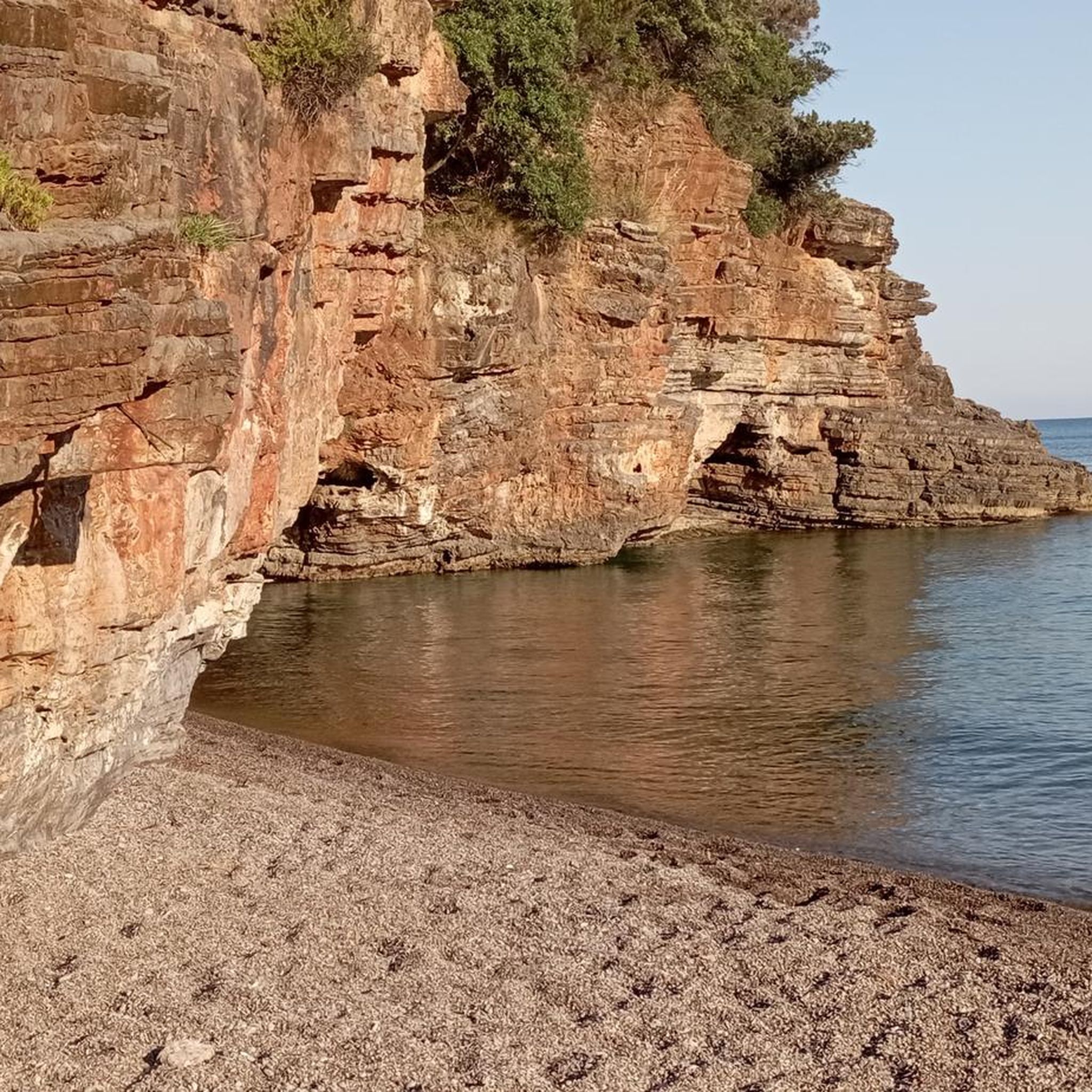
A public beach accessible in a 20-minute walk from the parking lots along the paved road leading to La Francesca, excellent for snorkeling and cave exploration. The final trail is steep, but with steps that allow for less risky access. Unfortunately, however, the beach is the first gulf with calm water if you depart from Scario, so on August 1, 2025, we were surrounded by 25-30 boats less than 100 meters from the shore... you can imagine the water conditions, with various types of waste and yellowish foam. I recommend visiting on a weekday to fully appreciate it.
0
0

Panoramic terrace and starting point for excursions along the Costa della Masseta. Parking available
1
0
16th century watchtower.
2
0

In the green saddle west of the summit, various paths cross. Some stone blocks are stacked to form a rustic resting place
0
0
Frequently Asked Questions
How many hiking trails are available around San Giovanni a Piro?
There are over 25 hiking routes around San Giovanni a Piro, offering a diverse range of experiences within the Cilento and Vallo di Diano National Park. These include easy coastal walks, moderate loops, and more challenging mountain ascents.
What kind of terrain can I expect when hiking in San Giovanni a Piro?
The terrain around San Giovanni a Piro is highly varied. You'll find rugged mountainous landscapes, particularly around Monte Bulgheria, offering significant elevation changes. There are also stunning coastal paths that lead to secluded beaches and coves, often with breathtaking views over the Gulf of Policastro. Trails can range from well-trodden paths to more natural, rocky surfaces.
What is the best time of year to go hiking in San Giovanni a Piro?
The best time for hiking in San Giovanni a Piro is generally during the spring (April-June) and autumn (September-October) months. During these periods, the weather is typically mild and pleasant, making it ideal for both coastal and mountain trails. Summers can be hot, especially for more strenuous mountain hikes, while winters might bring cooler temperatures and occasional rain, though coastal walks can still be enjoyable.
Are there easy hiking trails suitable for beginners or families in San Giovanni a Piro?
Yes, San Giovanni a Piro offers several easy hiking trails perfect for beginners or families. For example, the Molara Beach – Water Cave loop from Scario is an easy 3.8-mile path exploring the coastline. Another accessible option is the Monte Bulgheria – View of the Gulf of Policastro loop from San Giovanni a Piro, which offers impressive vistas without extreme difficulty. In total, there are 10 easy routes to choose from.
How challenging are the coastal paths around San Giovanni a Piro?
Coastal paths around San Giovanni a Piro vary in difficulty. Many offer relatively easy walks with gentle inclines, providing access to beautiful beaches and sea views. However, some sections along the Costa della Masseta e degli Infreschi can be more rugged, requiring sure-footedness and sturdy shoes. Always check the specific route details on komoot for an accurate difficulty assessment.
Can I bring my dog on the hiking trails in San Giovanni a Piro?
Many trails within the Cilento and Vallo di Diano National Park, including those around San Giovanni a Piro, are generally dog-friendly. However, it's always recommended to keep dogs on a leash, especially in protected areas or when encountering wildlife or other hikers. Be sure to carry water for your pet, particularly on longer or more exposed routes.
Are there any circular hiking routes available?
Yes, many of the hiking routes around San Giovanni a Piro are designed as circular loops, allowing you to start and end at the same point. Popular examples include the View of the Gulf of Policastro – Monte Bulgheria Summit loop from San Giovanni a Piro and the View of the Morice Tower loop from San Giovanni a Piro. These loops offer diverse scenery without the need for shuttle arrangements.
What natural attractions or landmarks can I see along the hiking trails?
Hiking trails in San Giovanni a Piro lead to a wealth of natural attractions. You can discover stunning beaches like Pozzallo Beach and Baia degli Infreschi, fascinating Water Caves, and the impressive Bussento Gorge. The Arco Naturale di Palinuro is another notable natural monument in the wider region.
Are there opportunities for wild swimming near the hiking trails?
Absolutely. The Cilento coastline, accessible via many hiking trails, is renowned for its pristine waters and secluded coves, offering excellent opportunities for wild swimming. Trails often lead to beaches like Molara Beach, Spiagge Gemelle, and Spiaggia Valloncello, where you can take a refreshing dip in the Mediterranean Sea after your hike.
Where can I find impressive views of the Gulf of Policastro?
For breathtaking views of the Gulf of Policastro, consider trails that ascend Monte Bulgheria or lead to viewpoints like Pianoro di Ciolandrea. The View of the Gulf of Policastro – Monte Bulgheria Summit loop from San Giovanni a Piro is specifically designed to offer panoramic vistas from the mountain's summit.
Is parking available near the trailheads in San Giovanni a Piro?
Yes, parking is generally available in or near San Giovanni a Piro and at common starting points for many trails. For specific routes, it's advisable to check the komoot tour details, as they often provide information on parking facilities close to the trailhead. In peak season, popular spots might fill up quickly.
How can I reach the hiking trailheads using public transport?
While some trailheads might be accessible by local bus services connecting San Giovanni a Piro to nearby villages like Scario, public transport options can be limited, especially for more remote mountain routes. It's recommended to check local bus schedules in advance or consider using a car to reach specific starting points for greater flexibility.
What do other hikers enjoy most about the trails in San Giovanni a Piro?
The trails in San Giovanni a Piro are highly rated by the komoot community, with an average score of 4.7 stars from over 180 reviews. Hikers often praise the stunning panoramic views, the diversity of landscapes (from mountains to coast), and the opportunity to discover secluded beaches and historical sites. The well-maintained paths and clear signage also contribute to a positive hiking experience.
Are there any historical sites or cultural points of interest accessible via hiking?
Yes, hiking in San Giovanni a Piro can also be a journey through history. Trails often incorporate ancient watchtowers like Torre del Morice and Torre Spinosa, offering glimpses into the region's past. The Sanctuary of Pietrasanta, dramatically perched on a rocky spur overlooking the sea, is another significant landmark that can be visited on routes like the San Giovanni a Piro - Pianoro di Ciolandrea - Sanctuary of Pietrasanta path.
Most popular attractions around San Giovanni A Piro

Get inspired with the komoot mobile app


Explore more
Browse the best Hikes in other regions.
