The best road cycling routes around Valle Dell’Angelo
4.8
(6)
176
riders
10
rides
Road cycling routes around Valle Dell’Angelo are characterized by challenging climbs and descents through a rural landscape. The region features winding roads that traverse hills and valleys, offering significant elevation changes. Road cyclists can expect routes that demand endurance and provide views of the surrounding countryside. The terrain is well-suited for experienced riders seeking demanding ascents and technical sections.
Best road cycling routes around Valle Dell’Angelo
- The most popular road cycling route is Roadbike loop from Roscigno, a 30.1…
Last updated: October 11, 2026
5.0
(1)
23
riders
48.5km
02:35
910m
910m
Hard road ride. Very good fitness required. Mostly well-paved surfaces and easy to ride.
25
riders
68.9km
03:11
730m
730m
Moderate road ride. Good fitness required. Mostly well-paved surfaces and easy to ride.

26
riders
105km
06:26
2,590m
2,590m
Hard road ride. Very good fitness required. Mostly well-paved surfaces and easy to ride.
5.0
(1)
14
riders
50.7km
03:08
1,230m
1,230m
Hard road ride. Very good fitness required. Some segments of this route may be unpaved and difficult to ride.
9
riders
161km
09:29
3,690m
3,690m
Hard road ride. Very good fitness required. Mostly well-paved surfaces and easy to ride.
Get access to more routes and recommendations from other explorers.
Already have an account?
Our route recommendations are based on thousands of hikes, rides, and runs completed by other people on komoot.
Start today with a free account
Your next adventure awaits.
Popular around Valle Dell’Angelo
Tips from the Community

Welcome sign of the small hamlet of Scorzo in the municipality of Sicignano degli Alburni.
10
0

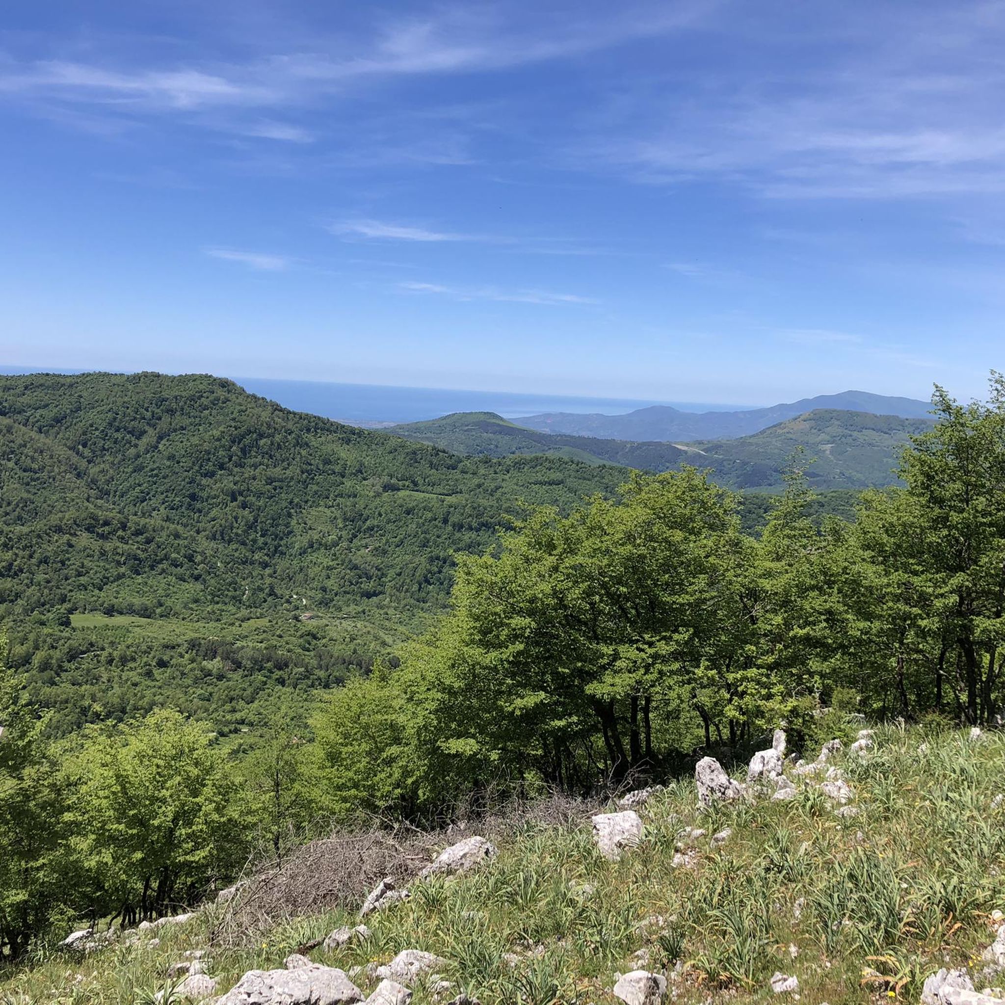
Rifugio Motola is a historic structure nestled in the greenery of the Cilento, Vallo di Diano and Alburni National Park. Main features Origin: Built in 1950 as a barracks for the Forestry Corps. Altitude: Located at 1043 meters above sea level. Panorama: View of the Sella del Corticato and Monte Cocuzzo delle Puglie (1428m). Beds: 8 beds available inside the structure by contacting the managing association. Camping: Possibility to stay overnight outside in a tent.
0
0

It's the starting point for several trails on Mount Motola and Mount Vivo. It's located along the "Sentiero Italia," which, as its name suggests, crosses the entire peninsula. Interestingly, the refuge is easily accessible by car; there's parking 50 meters before the refuge, just as the dirt road begins.
1
0

Sacco is a small town nestled on the slopes of Mount Motola, just steps from the Sammaro Gorges. The municipality recently opened a rest area for those traveling by bicycle, on foot, or in a camper. The village is truly charming, and the rest area is very convenient!
1
0

Magliano Vetere is a stone village nestled in the heart of Cilento, overlooking the Alento Valley and surrounded by chestnut and oak forests. Its quiet streets lead to the Paleontological Museum, which recounts the geological history of the area with fossil finds and ancient evidence of Cilento's fauna. From the village, sweeping views open up over the Calore Gorges and the ridges rising toward Magliano Nuovo.
0
0

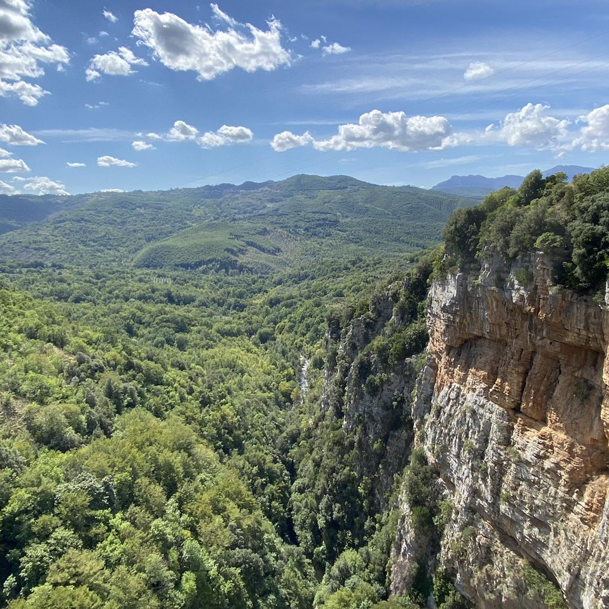
I'd say it's one of the most beautiful roads in Italy. The descent towards Teggiano is breathtaking.
0
0

Nice to look at and good for biking
0
0
Nice to look at and good for biking
0
0
Frequently Asked Questions
What is the general difficulty level of road cycling routes in Valle Dell’Angelo?
Road cycling routes in Valle Dell’Angelo are predominantly challenging, characterized by significant elevation changes, winding roads, and demanding ascents and descents. The terrain is best suited for experienced riders seeking difficult routes.
Are there any easy or family-friendly road cycling routes in Valle Dell’Angelo?
The road cycling routes around Valle Dell’Angelo are primarily designed for advanced riders. The region features challenging climbs and descents, meaning there are no easy or family-friendly options among the listed routes.
What kind of scenery can I expect while road cycling in Valle Dell’Angelo?
You can expect panoramic views of the surrounding countryside, rural landscapes, and varied terrain including hills and valleys. The routes offer a chance to experience the natural beauty of the region.
How long do road cycling routes in Valle Dell’Angelo typically take to complete?
Route durations vary depending on the specific trail and your pace. For example, the Roadbike loop from Roscigno typically takes around 2 hours 35 minutes, while the longer Roscigno Vecchia – Roccadaspide loop from Roscigno can take over 6 hours.
What are some notable landmarks or attractions I might see along road cycling routes?
Along your rides, you might encounter natural monuments and historical sites. Highlights include the Madonna del Monte Sacro Sanctuary and Monte Gelbison Summit, offering expansive views, or the Medieval Bridge of Magliano Nuovo over the Calore River.
Are there any circular road cycling routes available in Valle Dell’Angelo?
Yes, many of the road cycling routes in Valle Dell’Angelo are circular. Examples include the Roadbike loop from Roscigno and the Ogliastro Cilento – The Terrace of Cilento loop from Cannalonga, allowing you to start and end in the same location.
What do other road cyclists say about the routes in Valle Dell’Angelo?
The road cycling routes in Valle Dell’Angelo are highly rated by the komoot community, with an average score of 4.7 stars from over 4 reviews. Cyclists often praise the challenging nature of the routes and the scenic rural landscapes.
Where are common starting points for road cycling routes in Valle Dell’Angelo?
Many routes begin in towns such as Roscigno or Cannalonga. For instance, the Fontana di Sant'Elia loop from Roscigno starts in Roscigno, and the Ogliastro Cilento – The Terrace of Cilento loop from Cannalonga begins in Cannalonga.
What is the best season for road biking in Valle Dell’Angelo?
While specific data isn't available, spring and autumn generally offer the most pleasant conditions for road cycling in this region, with milder temperatures. Summers can be hot, and winters may bring colder, wetter weather.
How many road cycling routes are available around Valle Dell’Angelo?
There are 8 road cycling routes available around Valle Dell’Angelo, all of which are categorized as difficult, catering to experienced riders.
Are there any routes that offer particularly extensive climbing?
Yes, routes like the Roscigno Vecchia – Roccadaspide loop from Roscigno feature extensive climbing, with over 2500 meters of elevation gain, covering a wide area of the region's varied terrain.
Most popular routes around Valle Dell’Angelo
Most popular attractions around Valle Dell’Angelo

Get inspired with the komoot mobile app


Explore more
Browse the best Road cycling routes in other regions.
