The best road cycling routes around Eboli
4.2
(215)
3,530
riders
18
rides
Road cycling routes around Eboli offer diverse terrain, from the flat expanses of the Sele River Plain to the challenging ascents of the inland hills. The region's proximity to the Tyrrhenian Sea provides opportunities for coastal rides with scenic views. Cyclists can explore agricultural landscapes, historical sites like Paestum, and roads leading into the more mountainous Lucanian Apennines. This varied topography supports a range of road cycling experiences for different skill levels.
Best road cycling routes around Eboli
- The most…
Last updated: November 3, 2026
4.0
(2)
58
riders
55.5km
02:13
230m
230m
Moderate road ride. Good fitness required. Mostly well-paved surfaces and easy to ride.
38
riders
50.9km
02:31
750m
750m
Moderate road ride. Good fitness required. Mostly well-paved surfaces and easy to ride.

4.3
(4)
31
riders
57.3km
02:54
950m
950m
Hard road ride. Very good fitness required. Mostly well-paved surfaces and easy to ride.
5.0
(2)
14
riders
39.2km
01:45
430m
430m
Moderate road ride. Good fitness required. Mostly well-paved surfaces and easy to ride.
5.0
(4)
19
riders
Moderate road ride. Good fitness required. Some segments of this route may be unpaved and difficult to ride.
Get access to more routes and recommendations from other explorers.
Already have an account?
Our route recommendations are based on thousands of hikes, rides, and runs completed by other people on komoot.
Start today with a free account
Your next adventure awaits.

Tips from the Community

The Sele is an important river in Campania, 64 km long, the second in the region and in Southern Italy by average water volume after the Volturno, flowing into the Tyrrhenian Sea. The course of the river is protected by the Foce Sele - Tanagro Nature Reserve.
0
0

Bridge near the locality of Persano that crosses the Sele river.
16
0
The Municipality of Serre is located in the province of Salerno in the Campania region. It has 3,683 inhabitants, with a density of 54.95 inhabitants per square kilometer. The municipal territory covers an area of 67.03 km² and is located at an altitude of 200 meters above sea level. The municipality falls within seismic zone 2 (medium seismicity). The municipality has the postal code 84028; 84023 (Persano) and the telephone area code 0828. The municipal cadastral code is I666. The patron saint is Saint Martin, celebrated on November 11.
3
0
Some images of Serre, an Italian municipality of 3,662 inhabitants in the province of Salerno in Campania. https://it.wikipedia.org/wiki/Serre_(Italia)
10
0

With "horseshoe" (ferro di cavallo) usually refers to the Country House Felicella, a splendid farmhouse immersed in the hills of this namesake location in the province of Salerno. Located in Località Serradarce (in the municipality of Campagna, SA), this structure is very renowned in the area for offering home-style and authentic cuisine, with dishes from the local tradition such as matasse with beans and ziti with castrated lamb ragu.
0
0
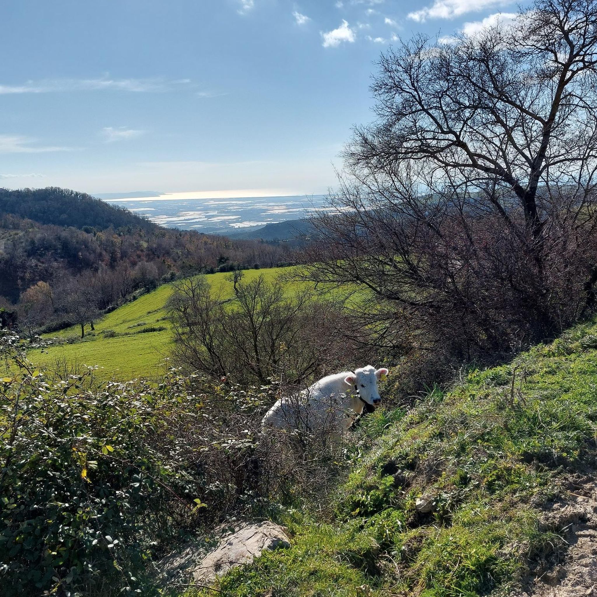
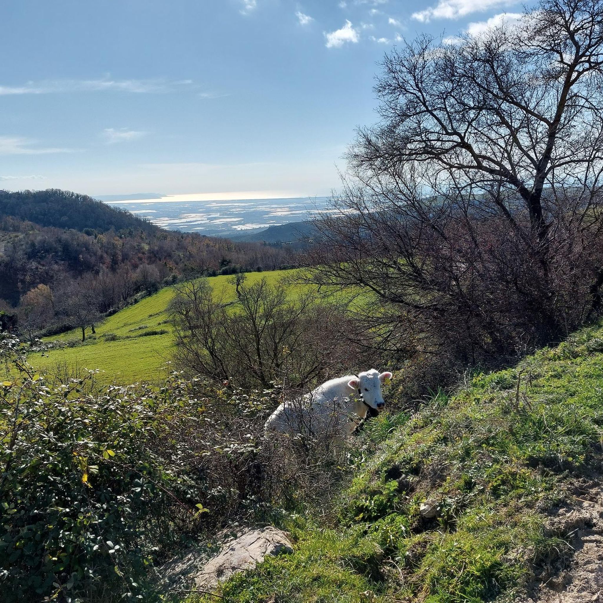
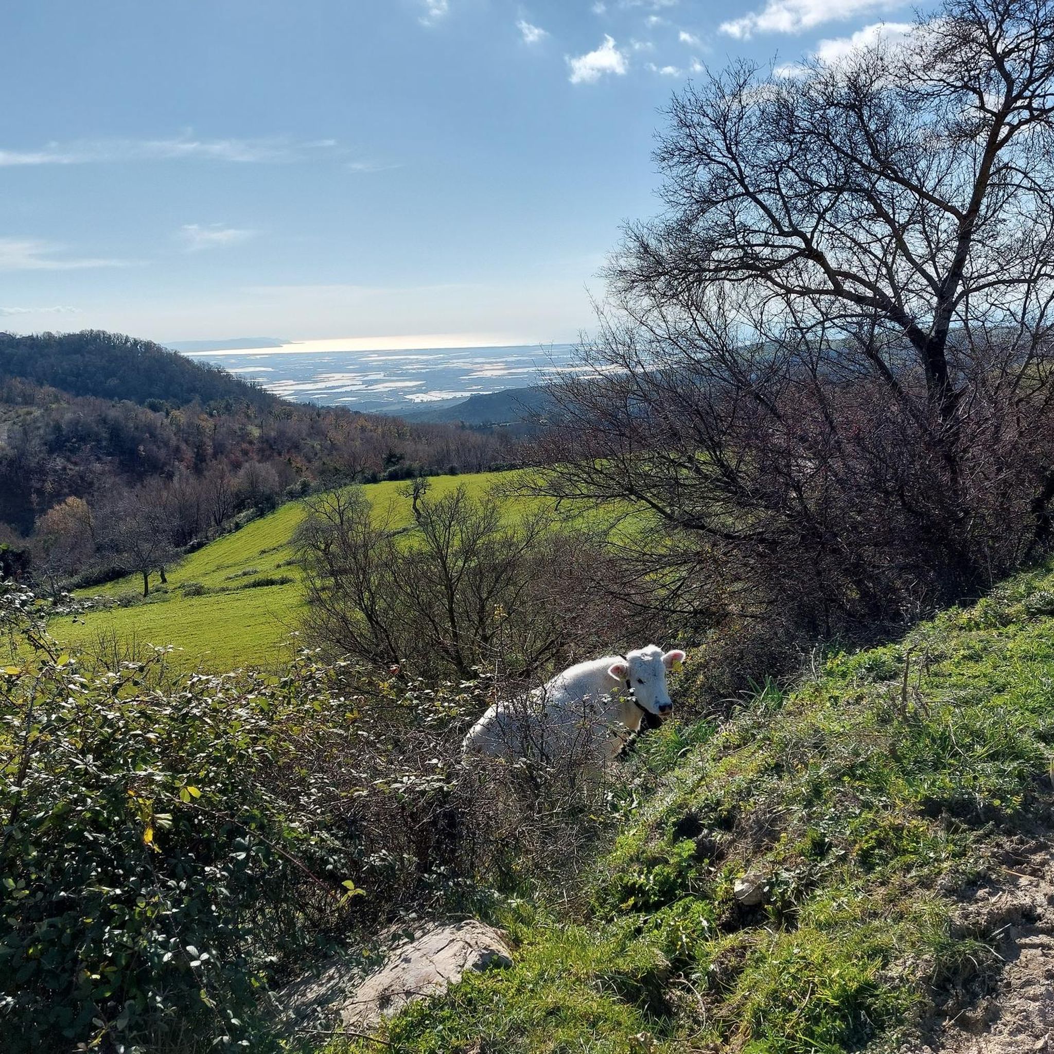
A beautiful view of the Sele Plain stretching to the sea. The Plain is a fertile alluvial plain of about 250 km² in the province of Salerno. Famous for its microclimate, it is the main hub in Campania for fruit and vegetables (including PGI rocket) and for buffalo farming, which produces the famous Mozzarella di Bufala Campana. It extends south of Salerno, between the Monti Picentini, the Monti Alburni, the Sele river and the Tyrrhenian Sea (Gulf of Salerno). It includes important centers such as Battipaglia, Eboli and Capaccio Paestum. It is the heart of "Quarta Gamma" (bagged salads and fresh vegetables) in Italy, covering over 60% of national production. It hosts over 5,000 hectares of greenhouses. In addition to agricultural resources, the plain holds an invaluable historical heritage: it hosts the archaeological area of Paestum and extends to the Sele river, where the ancient Sanctuary of Hera Argiva stood.
17
0
Curve along the SS 91 towards Contursi in the Serradarce area, defined as "horseshoe" due to its shape being perfectly identical to a horse's hoof.
10
0
Fontana di fresca acqua potabile lungo la SS 91 per Contursi (SA).
4
0
Frequently Asked Questions
How many road cycling routes are available around Eboli?
There are over 20 road cycling routes around Eboli, offering a variety of experiences for different skill levels. The komoot community has explored more than 20 routes in the area.
What kind of terrain can I expect on road cycling routes near Eboli?
Road cycling around Eboli offers diverse terrain. You'll find flat expanses in the Sele River Plain, ideal for relaxed rides, as well as rolling hills and more significant climbs as you move inland towards the Lucanian Apennines. The region's proximity to the Tyrrhenian Sea also provides opportunities for coastal rides.
Are there easy road cycling routes suitable for beginners in Eboli?
Yes, Eboli offers several easier routes. For instance, the Via Paolo Baratta – View of the Sele Plain loop from Eboli is a moderate 15.3-mile (24.7 km) trail that leads through the flat Sele Plain, perfect for a less strenuous ride. There are 4 easy routes in total.
Where can I find challenging road cycling routes with significant climbs around Eboli?
For challenging rides with significant elevation gain, head inland from Eboli. The Epitaph of Eboli – View of Postiglione loop from Eboli is a difficult 83.0-mile (133.6 km) path featuring substantial climbs and panoramic views. Another difficult option is the Epitaph of Eboli – Historic Center of Eboli loop from Eboli.
What historical sites or natural features can I see along road cycling routes in Eboli?
Many routes offer cultural and natural points of interest. You can cycle towards the ancient city of Paestum, known for its well-preserved Greek temples, for a combination of activity and cultural immersion. The Sele River Plain itself is a notable natural feature. Additionally, you might encounter various castles, such as Olevano Castle or Colonna Castle, which are often accessible from cycling routes.
Are there any scenic viewpoints accessible by road bike near Eboli?
Yes, the region offers several scenic viewpoints. Routes that venture into the hilly inland areas, such as the Epitaph of Eboli – View of Postiglione loop from Eboli, provide panoramic vistas of the surrounding landscape. You can also find highlights like the Ridge of Monte Calpazio, offering great views.
Is it possible to find circular road cycling routes in Eboli?
Yes, many road cycling routes around Eboli are designed as loops, allowing you to start and end in the same location. Examples include the popular Historic Center of Eboli – Corso Matteo Ripa loop from Eboli and the Via Paolo Baratta – View of the Sele Plain loop from Eboli.
What is the best time of year for road cycling in Eboli?
The best time for road cycling in Eboli is generally during the spring (April-May) and autumn (September-October) months. During these periods, the weather is typically mild and pleasant, avoiding the intense heat of summer and the cooler, potentially wetter conditions of winter. This allows for comfortable rides through the diverse landscapes.
Are there family-friendly road cycling options around Eboli?
For families, the flatter sections of the Sele River Plain offer more relaxed and safer cycling environments. Routes like the Via Paolo Baratta – View of the Sele Plain loop from Eboli, with its moderate difficulty and gentle terrain, could be suitable for families looking for an enjoyable ride together.
What do other cyclists say about road cycling in Eboli?
The road cycling routes in Eboli are highly rated by the komoot community, with an average score of 3.5 stars from over 11 reviews. Cyclists often praise the varied terrain, from the flat plains to challenging climbs, and the opportunities to explore both natural landscapes and historical sites.
Where can I park my car when starting a road cycling tour in Eboli?
Eboli, as a town, offers various public parking options. It's advisable to look for parking near the historic center or at the start points of specific routes. Many routes begin directly from Eboli, making it convenient to find a suitable parking spot before heading out.
Are there less crowded road cycling routes if I prefer a quieter ride?
While popular routes can see more traffic, venturing into the less-trafficked roads of the inland hills or exploring the agricultural paths within the Sele River Plain can offer a quieter experience. These areas often provide serene rides away from urban congestion, allowing for a more peaceful cycling adventure.
Most popular attractions around Eboli

Get inspired with the komoot mobile app


Explore more
Browse the best Road cycling routes in other regions.
