The best road cycling routes around Battipaglia
4.0
(63)
2,096
riders
31
rides
Road cycling routes around Battipaglia traverse the Piana del Sele, a fertile plain characterized by agricultural landscapes and flat sections. The region's terrain transitions from these plains to nearby hills and mountains, offering varied elevation profiles. Proximity to the Tyrrhenian coast also provides opportunities for routes with coastal views. This diverse geography supports a range of road cycling experiences, from leisurely rides to challenging climbs.
Best road cycling routes around Battipaglia
- The most popular road cycling route is Epitaph of…
Last updated: May 23, 2026
4.5
(4)
78
riders
45.7km
02:05
410m
410m
Moderate road ride. Good fitness required. Mostly well-paved surfaces and easy to ride.
5.0
(1)
56
riders
71.8km
03:15
730m
730m
Moderate road ride. Good fitness required. Mostly well-paved surfaces and easy to ride.

Sign up for free
3.0
(1)
48
riders
45.3km
01:50
190m
190m
Easy road ride. Great for any fitness level. Mostly well-paved surfaces and easy to ride.
4.0
(1)
40
riders
89.5km
04:03
950m
950m
Hard road ride. Very good fitness required. Mostly well-paved surfaces and easy to ride.
34
riders
76.1km
03:40
1,010m
1,010m
Hard road ride. Very good fitness required. Mostly well-paved surfaces and easy to ride.
Get access to more routes and recommendations from other explorers.
Sign up for free
Already have an account?
Our route recommendations are based on thousands of hikes, rides, and runs completed by other people on komoot.
Start today with a free account
Your next adventure awaits.
Login or Signup
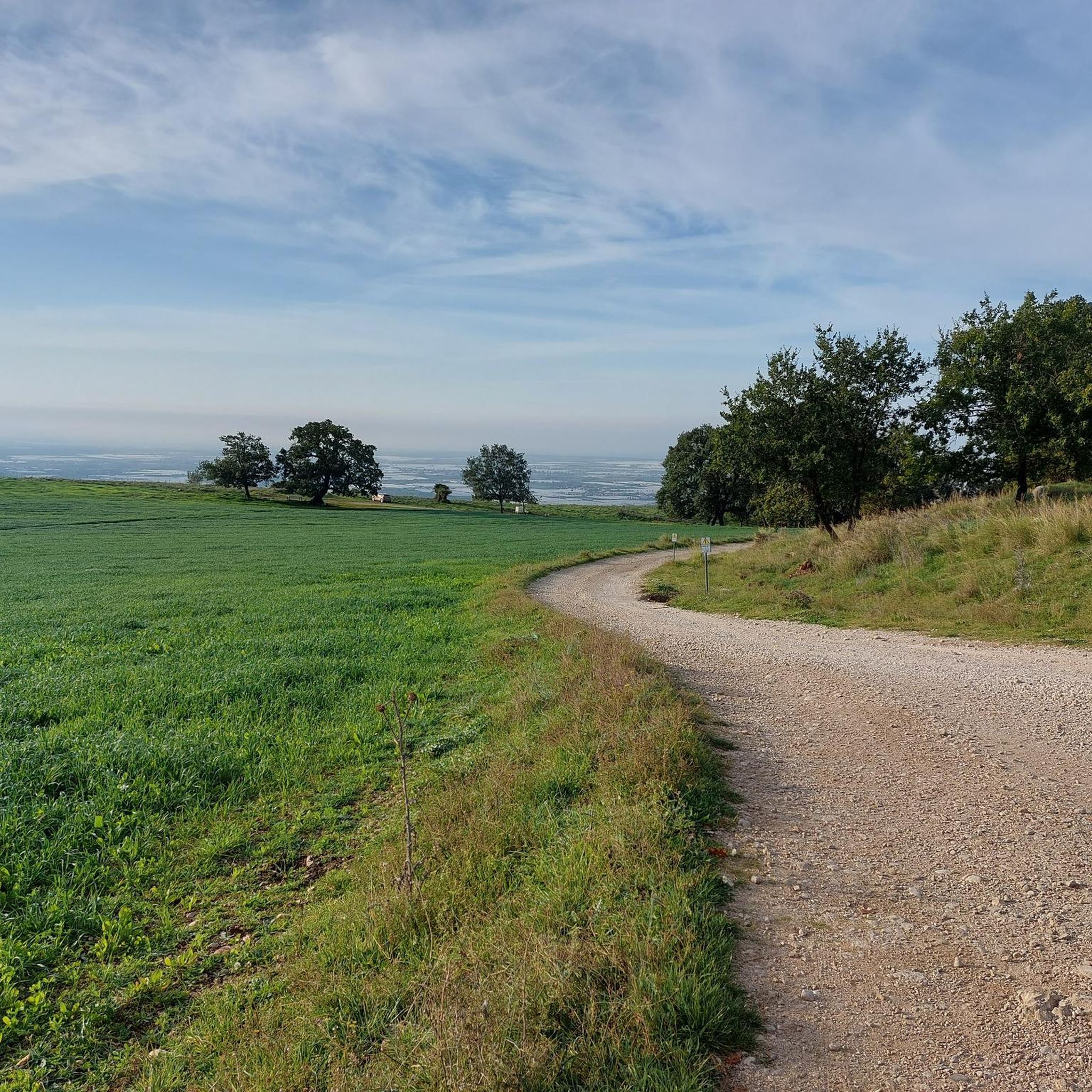
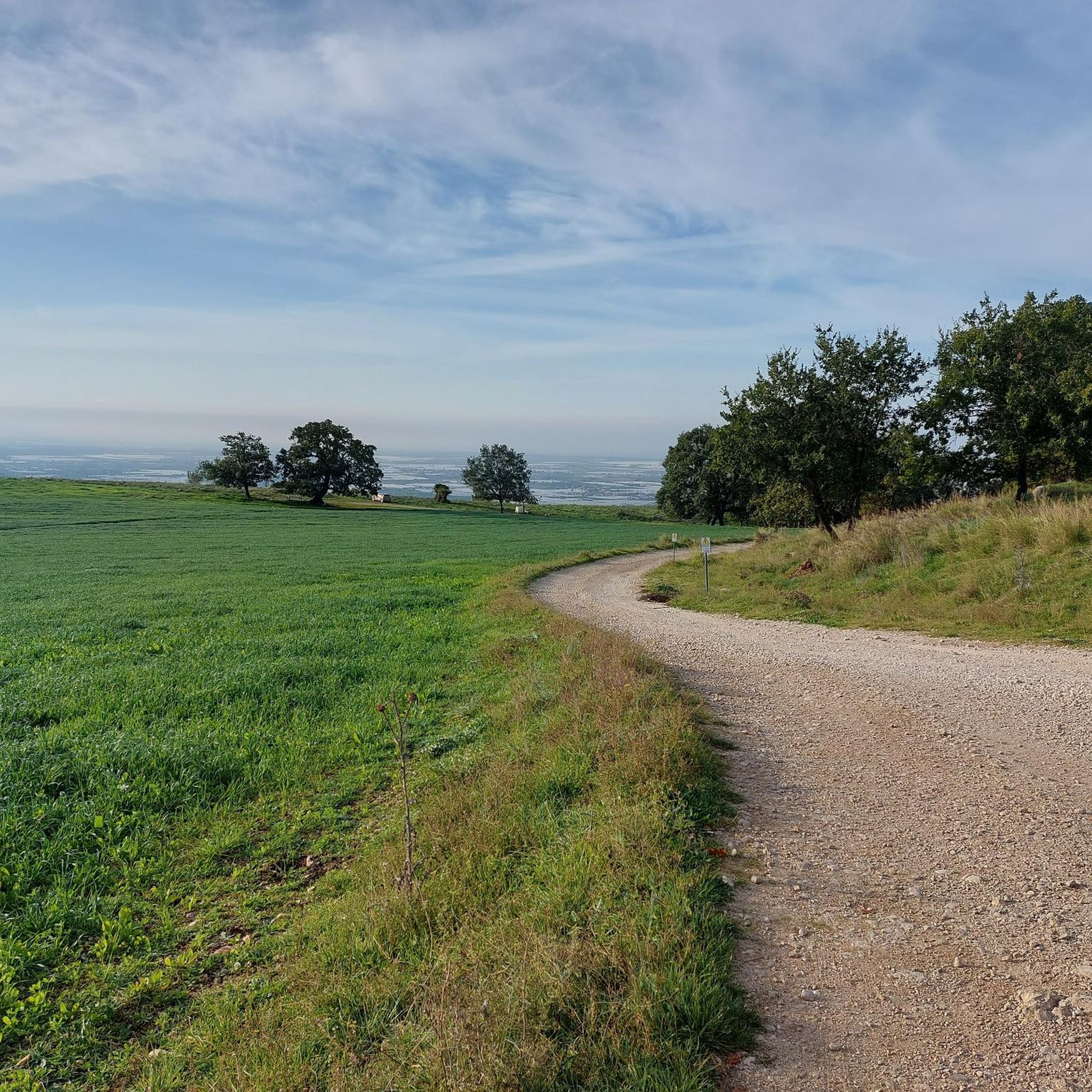
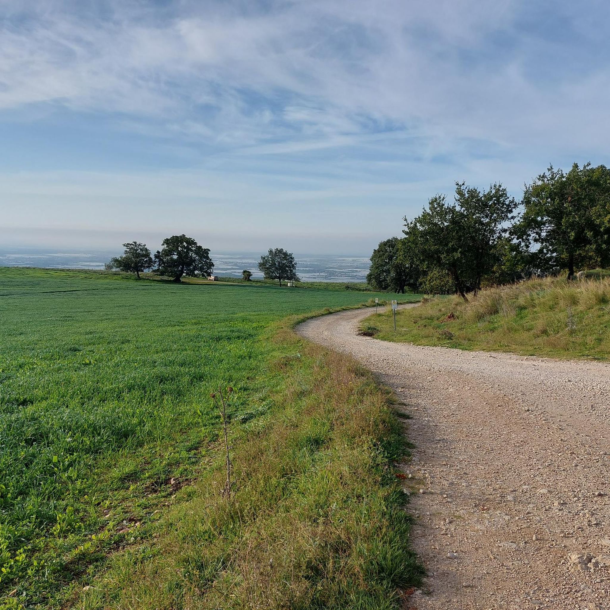
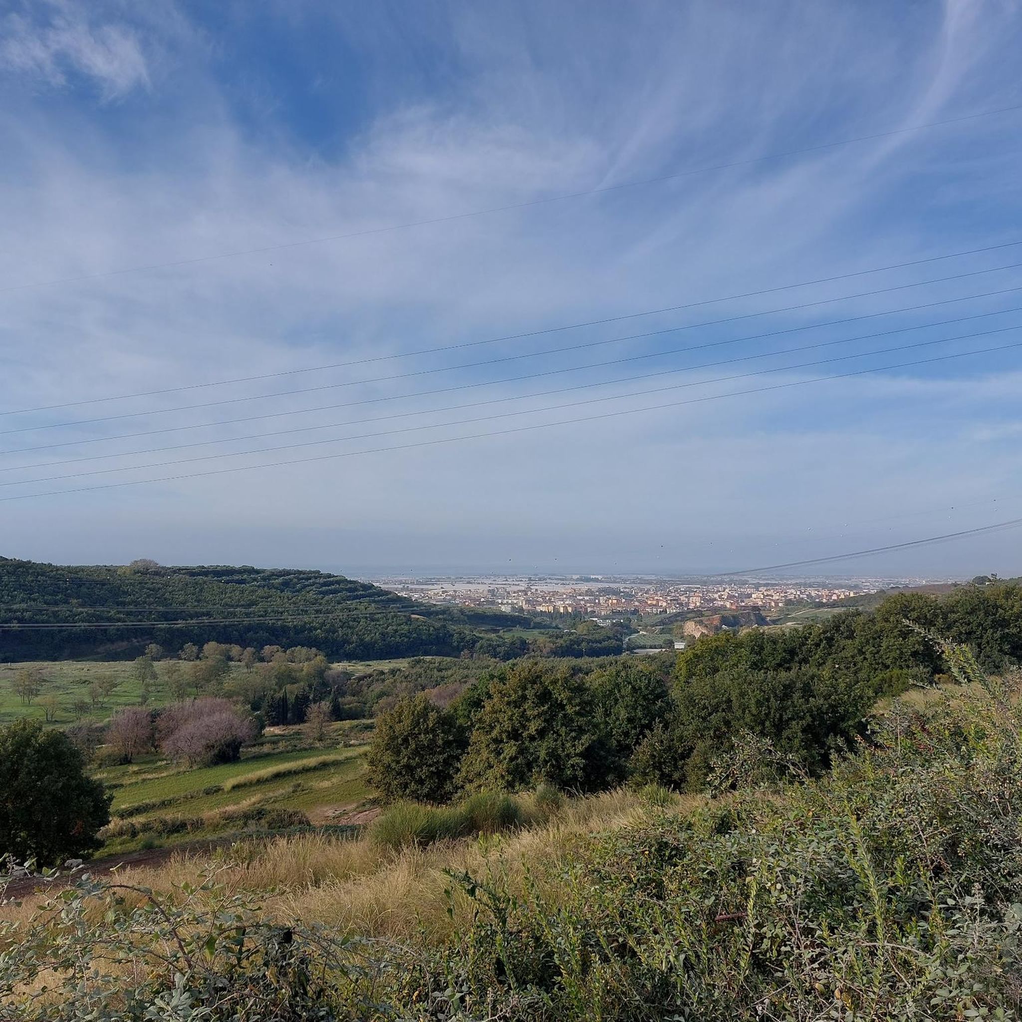

Tips from the Community

Former railway underpass on the SS delle Calabrie road leading to the municipality of Serre.
17
0
Calabria State Road that crosses the Sele River.
17
0
It is the youngest of Battipaglia's parishes. The construction decree of October 13, 1980, was signed by Monsignor Pollio. It was recognized for civil purposes on July 15, 1983. The parish's temporary headquarters is in the public oratory on Via Stella, with territory detached from Santa Maria della Speranza.
14
0

Beautiful view to admire!
0
0
Via Paolo Baratta is the main street of Battipaglia.
22
0
One of the main streets of Eboli.
22
0
The church was built in the 11th century with the original name of Santa Maria de Conce, probably due to the presence of a tannery in the area, and is also mentioned with this name in a document from 1309[1]; this name was probably changed at the beginning of the 16th century to the current one of Santa Maria della Pietà on the occasion of the reconstruction and elevation to Collegiate by Pope Clement VII. Wikipedia
20
0
Via Portacatena near Largo Campo.
10
0
Frequently Asked Questions
How many road cycling routes are available around Battipaglia?
There are over 70 road cycling routes in and around Battipaglia, offering a wide range of options for different skill levels and preferences. Our guide features 15 curated routes, including easy, moderate, and challenging options.
What kind of terrain can I expect on road cycling routes near Battipaglia?
The region offers diverse terrain. You'll find relatively flat sections through the fertile Piana del Sele, known for its agricultural landscapes. As you venture further, routes transition into hills and mountains, providing more challenging climbs and descents. The proximity to the Tyrrhenian coast also means some routes offer scenic coastal views.
Are there challenging road cycling routes with significant climbs in the Battipaglia area?
Yes, for experienced cyclists seeking a challenge, there are routes with significant elevation gains. For example, the Epitaph of Eboli – Roccadaspide loop from Battipaglia is a difficult 55.6-mile route with substantial climbing. Longer and more demanding routes can extend towards the Monti Picentini, with some exceeding 100 km and featuring over 2,000 meters of elevation.
Can I find easy or moderate road cycling routes suitable for less experienced riders?
Absolutely. The Piana del Sele offers many relatively flat sections ideal for leisurely rides or those new to road cycling. A good moderate option is the Epitaph of Eboli – Via Campo Fiorito loop from Battipaglia, a 32.5-mile trail that provides a balanced ride through the local landscape without excessive climbs.
What are some scenic viewpoints or landmarks I can see while road cycling around Battipaglia?
Many routes offer stunning views and pass by interesting landmarks. You might encounter historical sites like Castelluccio di Battipaglia, or enjoy panoramic vistas such as the View of Terravecchia Castle. The region also features natural beauty like the Mouth of the Sele River and the agricultural plains themselves.
Are there any long-distance road cycling routes originating from Battipaglia?
Battipaglia serves as an excellent starting point for longer rides. While our guide focuses on routes up to 55 miles, the region connects to extensive networks like the 'Via Silente,' a nearly 600 km circular route within the Cilento region. This allows for multi-day adventures through unspoiled areas, tracing coastal stretches and ascending into mountains.
What is the best time of year for road cycling in Battipaglia?
Spring and autumn are particularly pleasant seasons for road cycling in Battipaglia. The weather is generally mild and comfortable, making it ideal for exploring the diverse landscapes without the intense heat of summer.
Are there circular road cycling routes around Battipaglia?
Yes, many of the road cycling routes around Battipaglia are designed as loops, allowing you to start and finish at the same point. Examples include the Epitaph of Eboli – View of Postiglione loop from Battipaglia and the View of the Sele Plain – Montedoro loop from Battipaglia, offering varied distances and challenges.
What do other cyclists say about road cycling in Battipaglia?
The road cycling routes in Battipaglia are highly rated by the komoot community, with an average score of 4.0 stars from over 100 reviews. Nearly 3,000 road cyclists have used komoot to explore the area, often praising the diverse terrain, from flat agricultural plains to challenging mountain climbs, and the scenic beauty of the region.
Are there road cycling routes that pass by historical sites or ancient ruins?
Yes, the region is rich in history. Some routes, like those extending towards Paestum, allow riders to experience both scenic roads and ancient Greek temples. You might also pass by sites such as the Convent of Santa Maria di Costantinopoli or various castles like Olevano Castle.
Are there family-friendly road cycling options in Battipaglia?
For families or those preferring gentler rides, the flat sections of the Piana del Sele offer excellent opportunities. These agricultural landscapes provide pleasant, often traffic-free routes. Look for routes categorized as 'easy' or 'moderate' for suitable options, such as the Epitaph of Eboli – A.N.A.S. Fountain and Fig Tree loop from Battipaglia, which is a moderate 30-mile ride.
Most popular routes around Battipaglia
Most popular attractions around Battipaglia

Get inspired with the komoot mobile app


Explore more
Browse the best Road cycling routes in other regions.
