The best running trails around San Vito Di Leguzzano
4.2
(96)
5,620
runners
17
runs
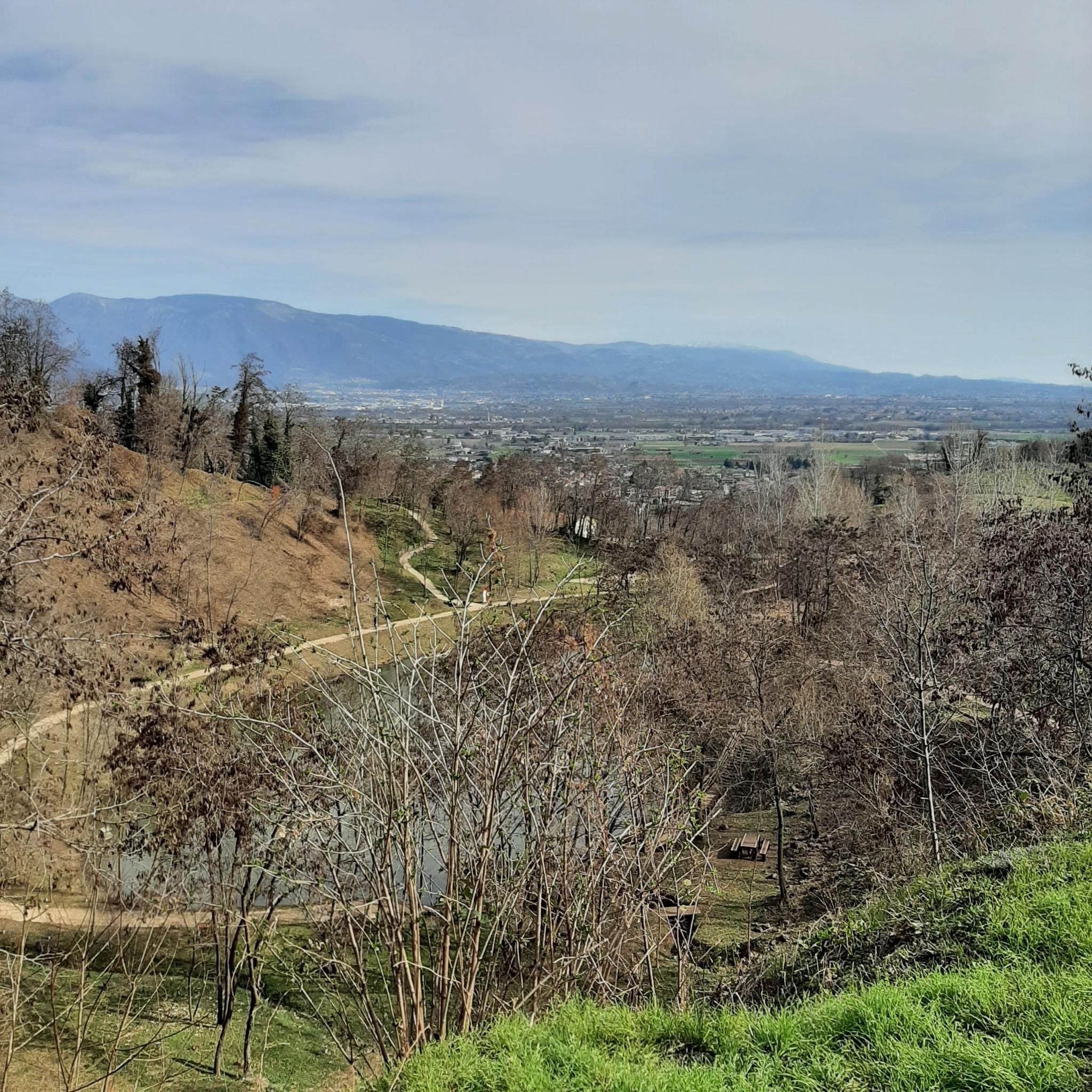
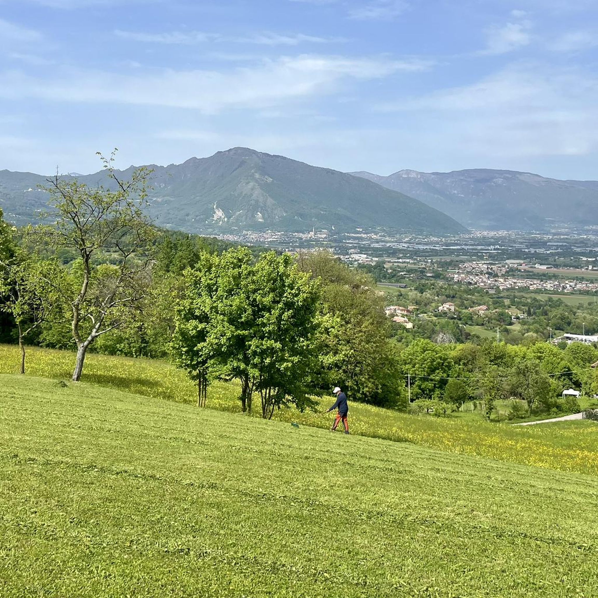
Jogging routes around San Vito Di Leguzzano traverse a diverse landscape in Italy's Veneto region, characterized by rolling hills, verdant woods, and rural scenery. The area features a network of trails suitable for various fitness levels, with elevations ranging from gentle inclines to more challenging ascents. Streams like the Leogra and Timonchio contribute to a refreshing natural environment, while proximity to the Small Dolomites offers options for more rigorous running.
Best jogging routes around San Vito Di Leguzzano
- The most…
Last updated: September 30, 2026
39
runners
Moderate run. Good fitness required. Mostly paved surfaces. Suitable for all skill levels.
39
runners
7.62km
00:48
60m
60m
Moderate run. Good fitness required. Mostly paved surfaces. Suitable for all skill levels.

17
runners
14.8km
01:42
330m
330m
Hard run. Very good fitness required. Mostly paved surfaces. Suitable for all skill levels.
20
runners
9.95km
01:02
40m
40m
Moderate run. Good fitness required. Mostly paved surfaces. Suitable for all skill levels.
3.0
(1)
9
runners
10.2km
01:05
60m
60m
Moderate run. Good fitness required. Mostly paved surfaces. Suitable for all skill levels.
Get access to more routes and recommendations from other explorers.
Already have an account?
Our route recommendations are based on thousands of hikes, rides, and runs completed by other people on komoot.
Start today with a free account
Your next adventure awaits.

Tips from the Community


A beautiful little church with an adjacent shaded playground; ideal for a break with children. The current little church, once in the open countryside but now almost completely absorbed into the urban fabric, was rebuilt in 1581 by the owners of the nearby Scamozzi manor house, on the ruins of an earlier medieval church. The church was first restored in 1960 by the then owner Valentina Mistrorigo. Her son, Gian Paolo Muttoni, donated it to the municipality in 2003, which oversaw further restoration. The little church has a rectangular plan, a small apse, and a small bell gable. Inside, there are some wall paintings, partly restored and quite legible, attributed to the local painter Tuognon Zambon di S. Vito. An element of considerable historical interest is the tombstone embedded in the wall next to the entrance; This is the tomb inscription of the Roman quadrumvir Gaius Camerius and his wife Terentia. The high-ranking Roman official governed the territory of Alto Vicentino, the Roman Vicetia. It is likely that the original small church was built right next to the tomb of Gaius Camerius or over the tomb itself.
1
0

This asphalted road connects Monte di Malo with the hills of Schio and the tretti.
0
0
Frequently Asked Questions
How many running trails are available in San Vito di Leguzzano?
There are over 15 running trails around San Vito di Leguzzano, offering a variety of options for different preferences and fitness levels. These routes are highly rated by the komoot community, with an average score of 4.4 stars.
What kind of terrain can I expect on the jogging routes in San Vito di Leguzzano?
The jogging routes in San Vito di Leguzzano feature diverse terrain, including rolling hills, verdant woods, and rural scenery. You'll find paths with gentle inclines as well as more challenging ascents, often traversing picturesque meadows and olive groves. Streams like the Leogra and Timonchio also contribute to a refreshing natural environment.
Are there options for both easy and more challenging runs?
Yes, San Vito di Leguzzano offers a good mix of running routes for various abilities. While there are no routes classified as 'easy' in the data provided, you'll find 9 moderate routes and 6 difficult routes, ensuring options for both casual jogs and more rigorous training sessions. For example, the Running loop from San Vito di Leguzzano is a moderate 6.1-mile trail, while the Monte Magrè Trail – View of Monte Magré loop from San Vito di Leguzzano is a difficult 9.5-mile path with significant elevation changes.
Can I find routes with waterfalls or streams in the area?
Yes, the territory around San Vito di Leguzzano is enriched by the presence of streams like the Leogra and Timonchio, which create refreshing natural environments. You can explore areas like Val dei Molini or seek out the Acquasaliente waterfall, which are notable natural features in the vicinity.
Are there any notable landmarks or viewpoints along the running paths?
Many routes offer stunning vistas over the surrounding hills and countryside. Some trails lead to unique attractions like 'Big Benches,' which provide scenic resting spots. Additionally, the region is close to significant mounts like Summano and Novegno, offering breathtaking mountain scenery. You might also encounter historical routes such as the 'Sentiero degli Antichi Maronàri,' blending natural beauty with cultural insight.
What do other runners enjoy most about jogging in San Vito di Leguzzano?
The komoot community highly rates the running experience in San Vito di Leguzzano, with an average score of 4.4 stars from over 80 reviews. Runners often praise the diverse landscapes, including rolling hills and verdant woods, and the variety of trails suitable for different fitness levels. The refreshing natural environment created by streams and the panoramic views are also frequently highlighted.
Are there many circular running routes available?
Yes, many of the running routes in San Vito di Leguzzano are designed as loops, offering convenient circular paths. Examples include the popular Monte Magrè Trail – San Vito Minaret loop from San Vito di Leguzzano and the San Vito Minaret loop from San Vito di Leguzzano, allowing you to start and finish at the same point.
Are the running routes in San Vito di Leguzzano suitable for families?
While specific family-friendly routes are not explicitly detailed, the region's diverse network includes paths of varying difficulty. Moderate routes with less elevation gain, such as the Running loop from Contrà Busolo, might be suitable for families looking for a pleasant outdoor experience. The presence of 'Big Benches' along some routes also adds a playful element for all ages.
Is San Vito di Leguzzano a good place for long-distance running?
Absolutely. The extensive trail network around San Vito di Leguzzano provides excellent opportunities for long-distance running. Routes like the difficult Monte Magrè Trail – View of Monte Magré loop from San Vito di Leguzzano, which spans 9.5 miles (15.2 km) with significant elevation, are ideal for those seeking a more enduring challenge.
What is the best time of year for jogging in San Vito di Leguzzano?
The Veneto region generally offers pleasant conditions for outdoor activities for much of the year. Spring and autumn are often ideal, with mild temperatures and vibrant natural scenery. However, the diverse landscapes, including woodlands and streams, provide refreshing environments even during warmer months. For specific conditions, it's always best to check local weather forecasts.
Are there any specific trails that offer panoramic views?
Many trails in the region traverse rolling hills adorned with vineyards and olive groves, offering stunning panoramic views. The Monte Magrè Trail – View of Monte Magré loop from San Vito di Leguzzano is specifically noted for providing panoramic views over the surrounding hills and countryside, making it a great choice for scenic runs.
Can I combine my run with exploring historical or cultural sites?
Yes, the region offers a blend of natural beauty and cultural insight. Historical routes such as the 'Sentiero degli Antichi Maronàri' guide visitors through woods and ancient mule tracks, allowing you to experience the traditions of ancient chestnut harvesters while enjoying your run.
Most popular routes around San Vito Di Leguzzano
Most popular attractions around San Vito Di Leguzzano

Get inspired with the komoot mobile app


Explore more
Browse the best Running Trails & Routes in other regions.
