The best cycling routes around Vallarsa
4.5
(2892)
31,262
riders
10
rides
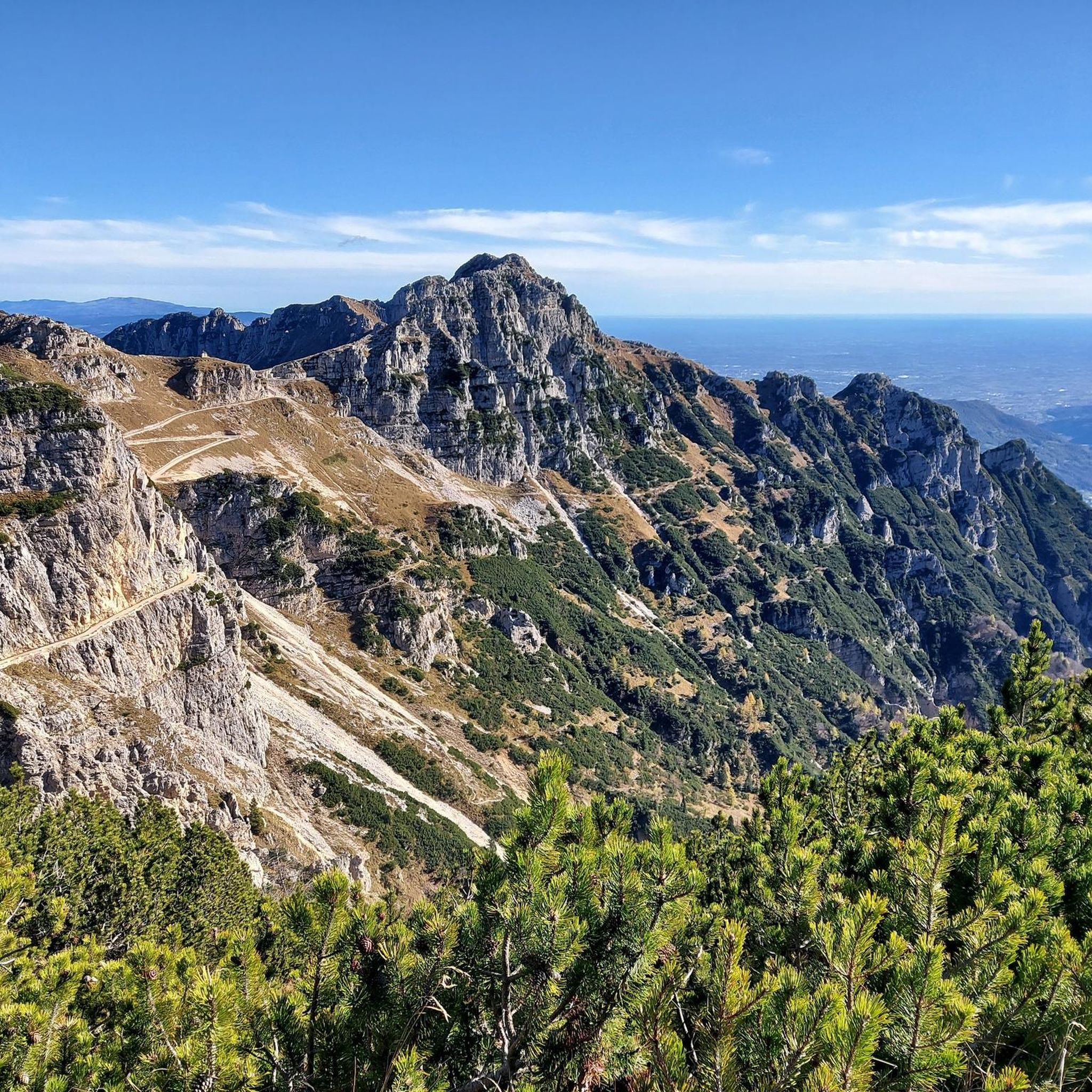
Touring cycling around Vallarsa offers diverse landscapes, from the peaks of the Carega Group, Monte Pasubio, and the Piccole Dolomiti to the Leno valley. The region features verdant forests, small rivers, and Lago dei Poiani. Routes often follow low-traffic roads or vehicle-free paths, with many trails featuring minimal asphalt.
Best touring cycling routes around Vallarsa
- The most popular touring cycling route is Generale D'Havet Tunnel – General Achille Papa Refuge loop from Vallarsa, a 29.2 miles (47.0 km) trail…
Last updated: May 8, 2026
4.9
(39)
932
riders
47.0km
04:46
1,740m
1,740m
Hard bike ride. Very good fitness required. Mostly paved surfaces. Suitable for all skill levels.
5.0
(5)
193
riders
Hard bike ride. Very good fitness required. Mostly paved surfaces. Suitable for all skill levels.

Sign up for free
5.0
(2)
122
riders
46.7km
03:43
1,350m
1,350m
Hard bike ride. Very good fitness required. Mostly paved surfaces. Suitable for all skill levels.
5.0
(5)
45
riders
37.9km
03:09
1,120m
1,120m
Hard bike ride. Very good fitness required. Mostly paved surfaces. Suitable for all skill levels.
4.7
(3)
39
riders
15.2km
01:10
390m
390m
Moderate bike ride. Good fitness required. Mostly paved surfaces. Suitable for all skill levels.
Get access to more routes and recommendations from other explorers.
Sign up for free
Already have an account?
Our route recommendations are based on thousands of hikes, rides, and runs completed by other people on komoot.
Start today with a free account
Your next adventure awaits.
Login or Signup
Popular around Vallarsa


Tips from the Community


The war museum is really interesting and well presented!
1
0

A beautiful palace, built in 1417 under Venetian rule, that houses the mayor (podesta). Also of interest is the bridge, styled after Venice's Bridge of Sighs, which connects the Palazzo Pretorio, home to the town hall, with the Palazzo Sbardellati. https://it.wikipedia.org/wiki/Palazzo_Pretorio_(Rovereto)
1
0

starting and finishing point of many routes
0
0
Panoramic point to understand the irrigation ditch system
1
0

Campogrosso Refuge and Campogrosso Mountain Hut
2
0

Starting point for the tour Rifugio Papa
0
0

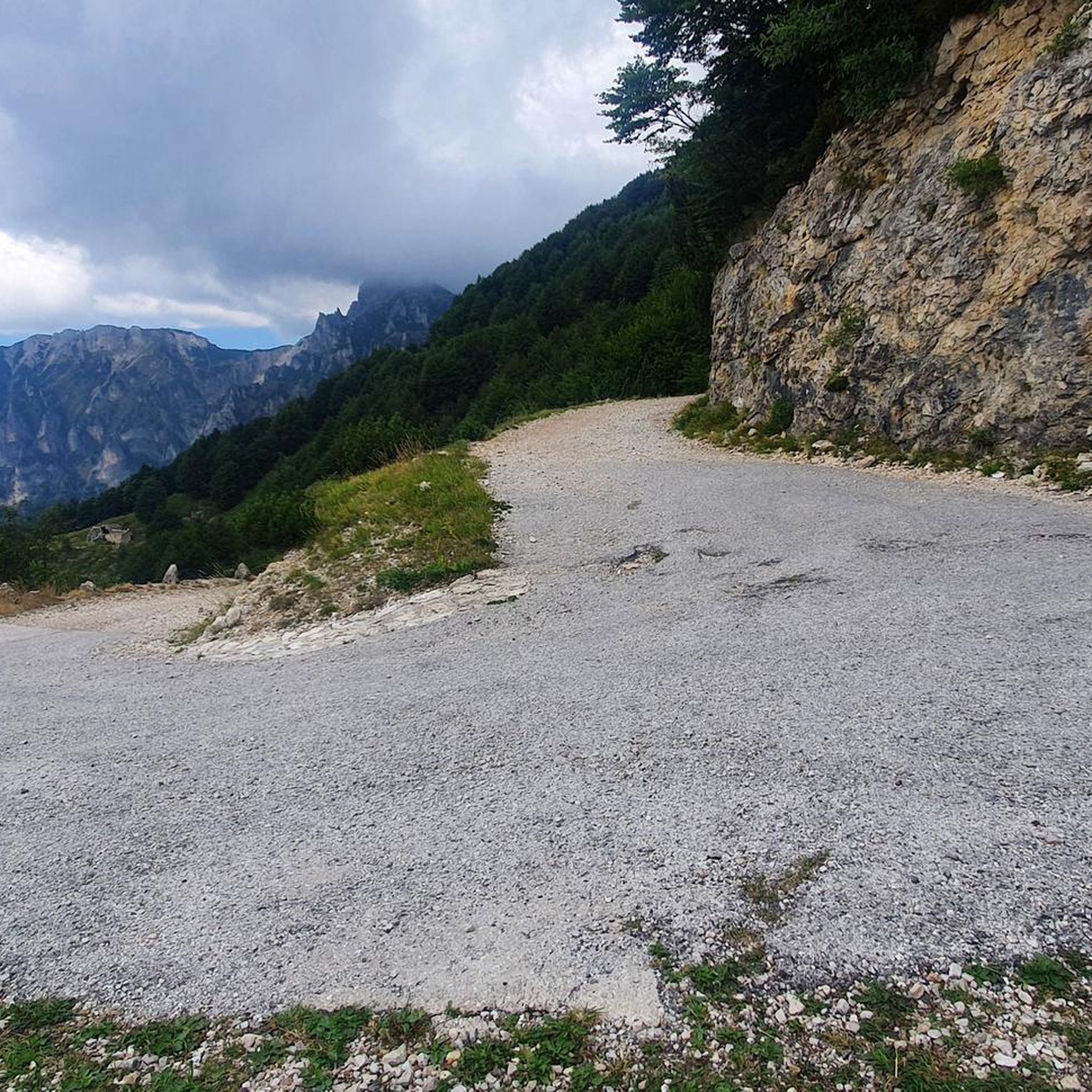
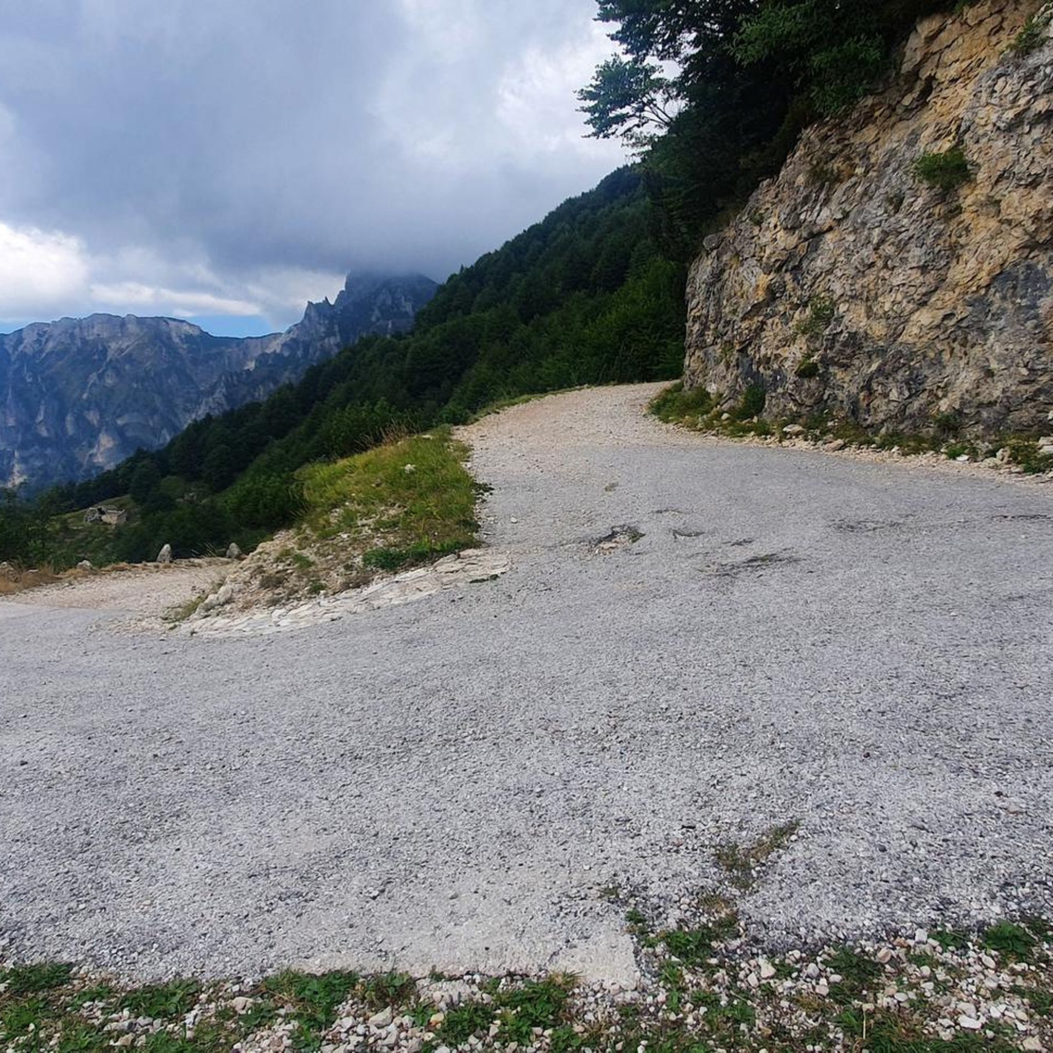
Road to the Rifugio Achille Papa. This is where you walk down if you're doing a circular hike with the 52 tunnels.
6
1
Frequently Asked Questions
How many touring cycling routes are available in Vallarsa?
Vallarsa offers an extensive network of over 260 touring cycling routes. These routes cater to various skill levels, with options ranging from easy paths to challenging mountain ascents, ensuring a diverse experience for every cyclist.
What kind of terrain can I expect on touring cycling routes in Vallarsa?
The terrain in Vallarsa is highly varied, from lush valleys to the dramatic peaks of the Piccole Dolomiti and Mount Pasubio. You'll find paths and forest roads with low traffic, many of which feature minimal asphalt. Expect significant elevation changes, especially on routes like the Generale D'Havet Tunnel – General Achille Papa Refuge loop from Vallarsa, which traverses mountainous terrain.
Are there any easy touring cycling routes suitable for beginners in Vallarsa?
Yes, Vallarsa offers 38 easy touring cycling routes. While many routes feature significant elevation, there are options designed for less experienced cyclists or those seeking a more relaxed ride through the valley's verdant landscapes. Look for routes that stick to the valley floor or follow less steep forest roads.
What historical landmarks can I explore while cycling in Vallarsa?
Vallarsa is rich in history, particularly from the Great War. You can cycle past numerous WWI positions, tunnels, and cemeteries. Notable historical routes include the 'Road of Heroes' (Strada degli Eroi) and the 'Path of Peace' (Sentiero della Pace). The Generale D'Havet Tunnel – General Achille Papa Refuge loop from Pian delle Fugazze, for instance, leads through historical areas and mountain passes. You can also visit sites like the fortified encampment of Matassone or the Austrian fort of Valmorbia Werk.
Are there any circular touring cycling routes in Vallarsa?
Yes, many touring cycling routes in Vallarsa are designed as loops, allowing you to start and end in the same location. Examples include the challenging Strada degli Scarubbi – Xomo Pass loop from Soglio d'Uderle, which offers scenic views, or the Strada delle Sette Fontane – Rif. Campogrosso loop from Vallarsa.
What natural features or viewpoints can I see along the cycling routes?
Vallarsa offers spectacular natural beauty. You'll encounter the flowing Leno valley, serene Lake of Pojani, picturesque beech groves, and diverse botanical species. The region is embraced by the Piccole Dolomiti and Mount Pasubio, providing dramatic views. The 'Museum Tour' route offers views of the Piccole Dolomiti and Mount Zugna, and passes the Bastianello waterfalls. You can also find highlights like Val Fontana d'Oro or Canale Valley (Pasubio).
What is the best time of year for touring cycling in Vallarsa?
The best time for touring cycling in Vallarsa is generally from spring through autumn. During these seasons, the weather is more favorable, and the lush greenery of the valley is at its peak. While the region is characterized by frequent rainfall, it contributes to the vibrant natural setting. Always check local weather conditions before heading out.
Are there any family-friendly touring cycling options in Vallarsa?
While many routes in Vallarsa involve significant elevation, there are easier paths suitable for families. Look for routes with minimal asphalt and lower elevation gains, often found along the valley floor or designated forest roads. The extensive network allows for selecting routes that match various family abilities.
Can I bring my dog on touring cycling routes in Vallarsa?
Vallarsa is a natural outdoor destination, and many trails are suitable for cycling with dogs. However, specific regulations may apply in certain protected areas or on private land. It's always advisable to keep your dog on a leash, especially near wildlife or other trail users, and to check for any local signage regarding pet policies on specific routes.
Where can I find places to eat or stay near the cycling routes?
Vallarsa offers various mountain refuges, such as Rifugio Achille Papa, Rifugio Campogrosso, and Rifugio Vincenzo Lancia, which provide welcoming stops for cyclists and often offer food and accommodation. The valley also has local villages where you can find cafes, pubs, and restaurants to refuel after your ride. For more information on the region's offerings, you can visit visittrentino.info.
What do other touring cyclists enjoy most about Vallarsa?
The touring cycling routes in Vallarsa are highly rated by the komoot community, with an average score of 4.6 stars from over 3000 reviews. Cyclists often praise the diverse landscapes, from the dramatic mountain ranges to the verdant forests, and the unique blend of natural beauty with profound historical significance found along the WWI paths.
Is it possible to use public transport to access cycling routes in Vallarsa?
While Vallarsa is a more remote valley, some public transport options might connect to key villages or starting points for routes. However, services may be limited, especially for transporting bicycles. It's recommended to check local bus schedules and policies regarding bike transport in advance. For general information on reaching the area, you can consult resources like visitrovereto.it.
Most popular routes around Vallarsa
Most popular attractions around Vallarsa

Get inspired with the komoot mobile app


Explore more
Browse the best Cycling routes in other regions.
