The best road cycling routes around Schlichting
4.5
(89)
1,141
riders
118
rides
Road cycling routes around Schlichting are characterized by a predominantly flat landscape, typical of the North German Plain. The region features extensive agricultural lands, river valleys, and proximity to coastal areas, including the Eider Barrage. Elevation gains are minimal, making it suitable for routes with gentle gradients. The terrain primarily consists of open fields and small villages, offering long stretches of smooth roads.
Best road cycling routes around Schlichting
- The most popular road cycling route is Eider Barrage – Historic…
Last updated: October 5, 2026
4.7
(12)
46
riders
Moderate road ride. Great for any fitness level. Some segments of this route may be unpaved and difficult to ride.
5.0
(1)
15
riders
Moderate road ride. Good fitness required. Some segments of this route may be unpaved and difficult to ride.

8
riders
Moderate road ride. Good fitness required. Mostly well-paved surfaces and easy to ride.
3.0
(1)
7
riders
29.1km
01:17
70m
70m
Moderate road ride. Great for any fitness level. Some segments of this route may be unpaved and difficult to ride.
7
riders
Moderate road ride. Good fitness required. Mostly well-paved surfaces and easy to ride.
Get access to more routes and recommendations from other explorers.
Already have an account?
Our route recommendations are based on thousands of hikes, rides, and runs completed by other people on komoot.
Start today with a free account
Your next adventure awaits.
Tips from the Community

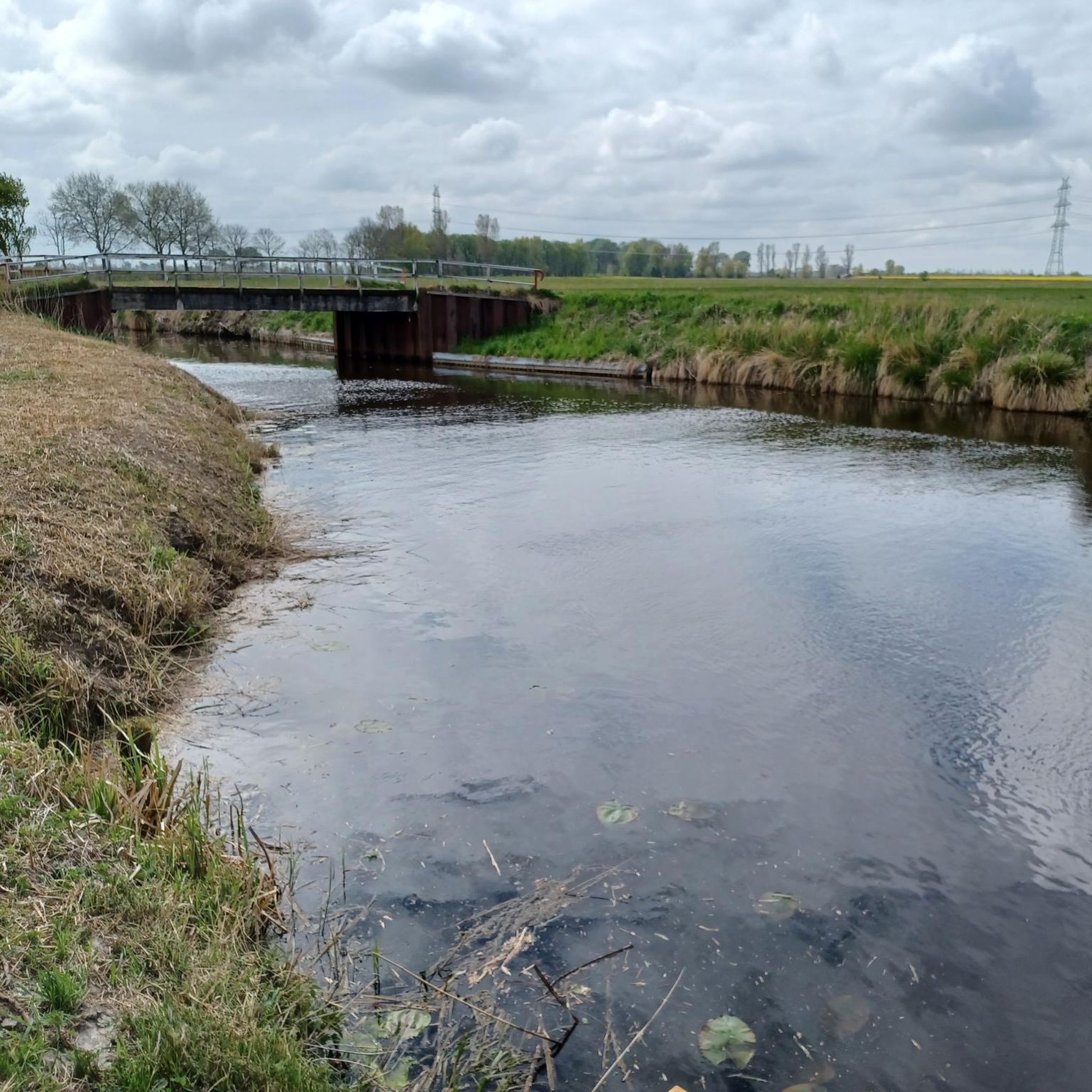
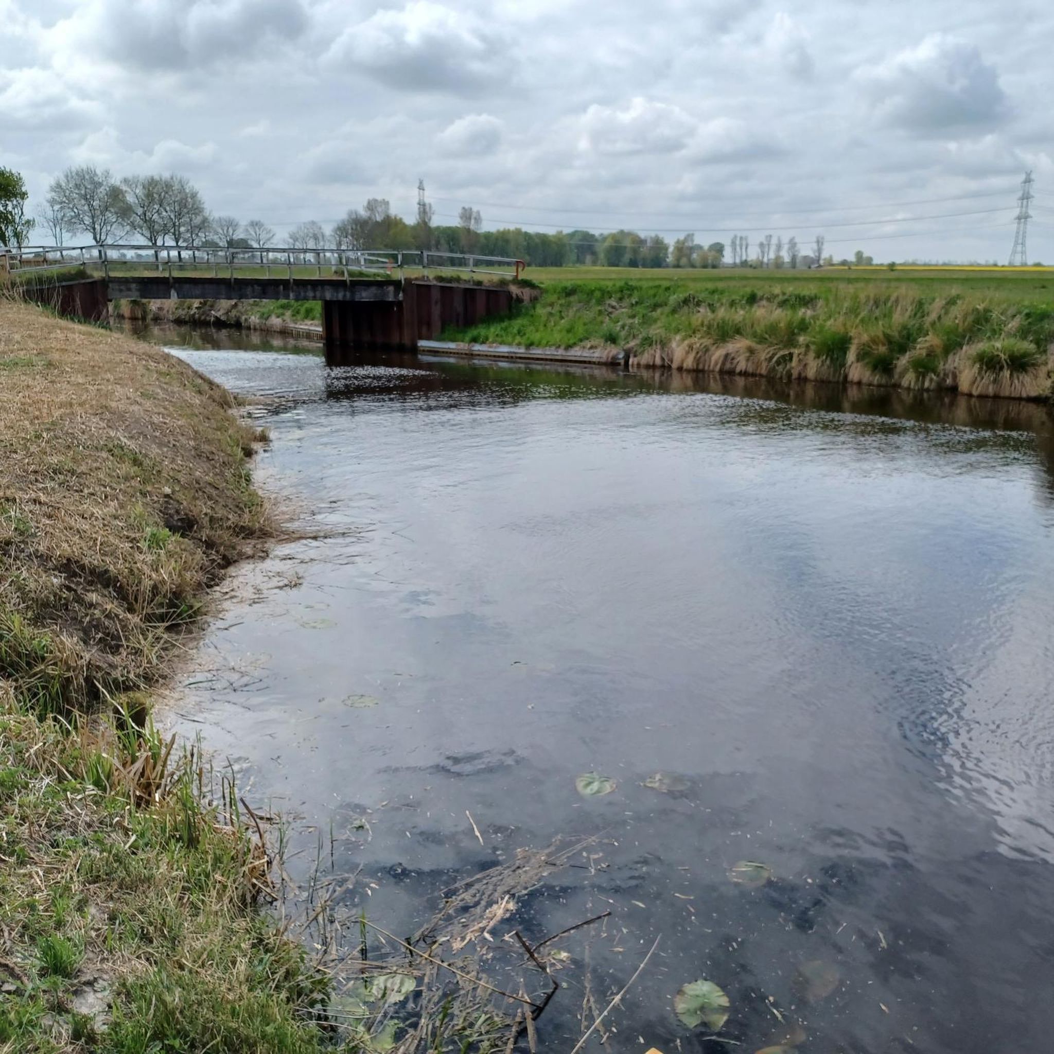
The bascule bridge is very similar to those I know from the East Frisian fen areas, presumably of Dutch design.
0
0

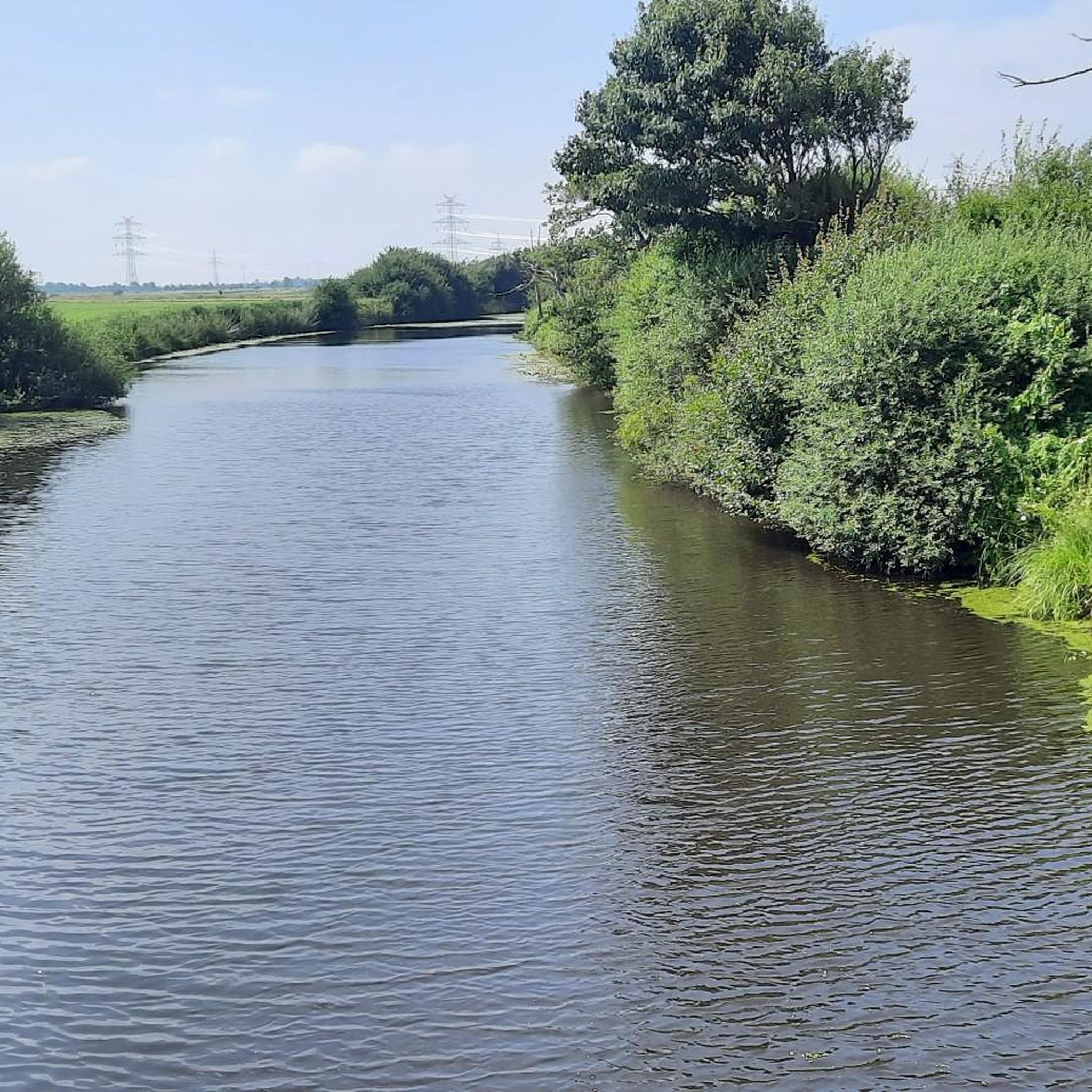
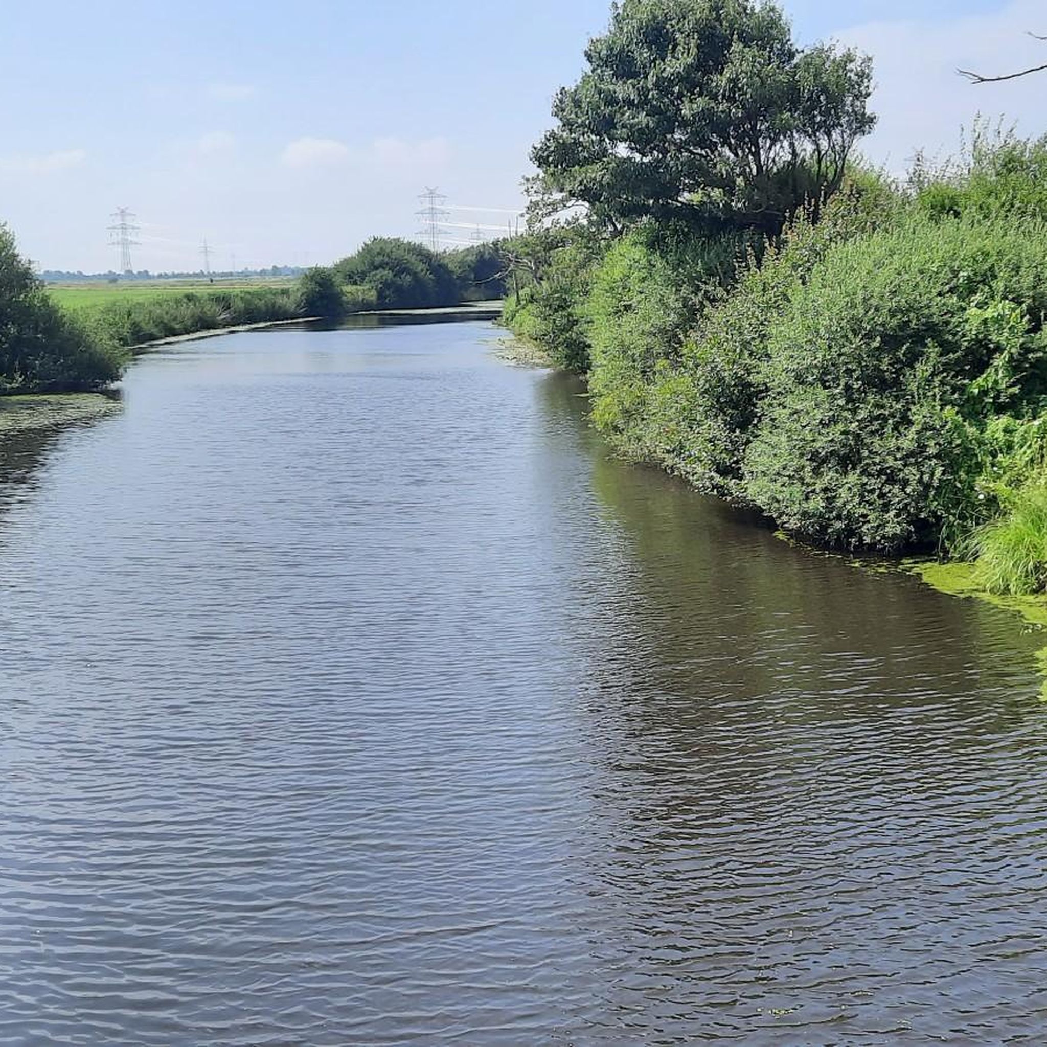
Nature can hardly be more untouched and if you then cruise through it with your RR, simply perfect
2
0
Top asphalt, color looks like in a lava landscape
3
0

A very nice path with little traffic
0
0

The church is named after Saint Andrew, a disciple of Jesus. It was first mentioned in documents in 1140, but according to current knowledge it already existed before 1070, burned down in 1559 and a new church was built on the foundations within the next 40 years. It is one of the oldest churches in Dithmarschen. Since 2008, extensive renovation work has been carried out on the exterior and interior of the traditional church, which was completed in 2010. The church was reopened on October 3, 2010. In autumn 2013, the bells, which include the oldest bell in Dithmarschen, received new clappers, a new control system and some new motors. In summer 2014, the Walcker organ was extensively renovated. https://www.kirche-weddingstedt.de/unsere-kirche/st-andreas-kirche-weddingstedt/
2
0
Untouched nature, almost no traffic, good asphalt and if the wind is right: perfect!
2
0
Through the marsh along the Eider, road with good surface
2
0
Through the marsh into the interior along the Eider river, great asphalt.
3
0
Frequently Asked Questions
What kind of terrain can I expect on road cycling routes around Schlichting?
The region around Schlichting is characterized by a predominantly flat landscape, typical of the North German Plain. You'll find extensive agricultural lands, river valleys, and areas close to the coast, including the Eider Barrage. Elevation gains are minimal, making for smooth, gentle gradients and long stretches of open roads.
How many road cycling routes are available in the Schlichting area?
There are over 120 road cycling routes available around Schlichting on komoot, offering a wide range of options for different skill levels and preferences.
Are there road cycling routes suitable for beginners or families in Schlichting?
Yes, Schlichting is well-suited for beginners and families due to its flat terrain. Approximately 36 of the routes are classified as easy, such as the Roadbike loop from Rehm-Flehde-Bargen, which traverses flat, open countryside, ideal for relaxed cycling.
What are the typical distances and durations for road cycling routes in Schlichting?
Routes vary in length, but many popular options range from 18 to 30 miles (29 to 48 km). For example, the Eider Barrage – Historic Harbour of Tönning loop from Stelle-Wittenwurth is 26.1 miles (41.9 km) and typically takes around 1 hour 42 minutes.
What can I see along the road cycling routes around Schlichting?
Many routes offer scenic views and pass by interesting points. You might cycle past the historic town of Tönning, the Historic Harbour of Tönning, or the Nordfeld Lock. The St. Laurentius Church, Lunden – Broklandsau, near Dammbrück loop from Lunden, for instance, leads through the picturesque Lundener Niederung.
Are there any challenging road cycling routes for advanced riders in Schlichting?
Given the predominantly flat nature of the North German Plain, there are no routes classified as 'difficult' in the Schlichting area. The routes are generally easy to moderate, focusing on distance and scenic enjoyment rather than significant elevation gains.
When is the best season for road cycling in Schlichting?
The best season for road cycling in Schlichting is typically from spring through autumn (April to October). The weather is generally milder, and the open landscapes are beautiful. While winter cycling is possible, be prepared for colder temperatures and potentially stronger winds.
What do other road cyclists enjoy most about the routes in Schlichting?
The road cycling routes in Schlichting are highly rated by the komoot community, with an average score of 4.6 stars. Cyclists often praise the smooth, flat roads, the tranquil agricultural landscapes, and the opportunities to see coastal influences like the Eider Barrage.
Are there circular road cycling routes available in Schlichting?
Yes, the majority of road cycling routes around Schlichting are designed as loops, allowing you to start and end your ride in the same location. This includes popular options like the Nordfeld Eider Barrage – Lundener Niederung loop from Sankt Annen.
Where can I find parking for road cycling routes in Schlichting?
Many routes start from villages or towns like Stelle-Wittenwurth, Rehm-Flehde-Bargen, or Lunden, where public parking is often available. It's advisable to check the specific tour details on komoot for recommended starting points and parking information for each route.
Are there any unique natural sights to explore while road cycling near Schlichting?
Yes, you can visit the Observation Tower Lundener Niederung for panoramic views of the flatlands, or explore the area around the Old Harbor Schülperneuensiel. The region's proximity to the Wadden Sea also offers unique natural experiences.
Can I find places to stop for refreshments or food along the road cycling routes?
While the routes traverse rural areas, many pass through small villages and towns where you can find local cafes or eateries. It's a good idea to plan your route and check for refreshment stops in advance, especially on longer rides.
Most popular attractions around Schlichting

Get inspired with the komoot mobile app


Explore more
Browse the best Road cycling routes in other regions.
