The best MTB trails around Segni
4.1
(111)
660
riders
92
rides
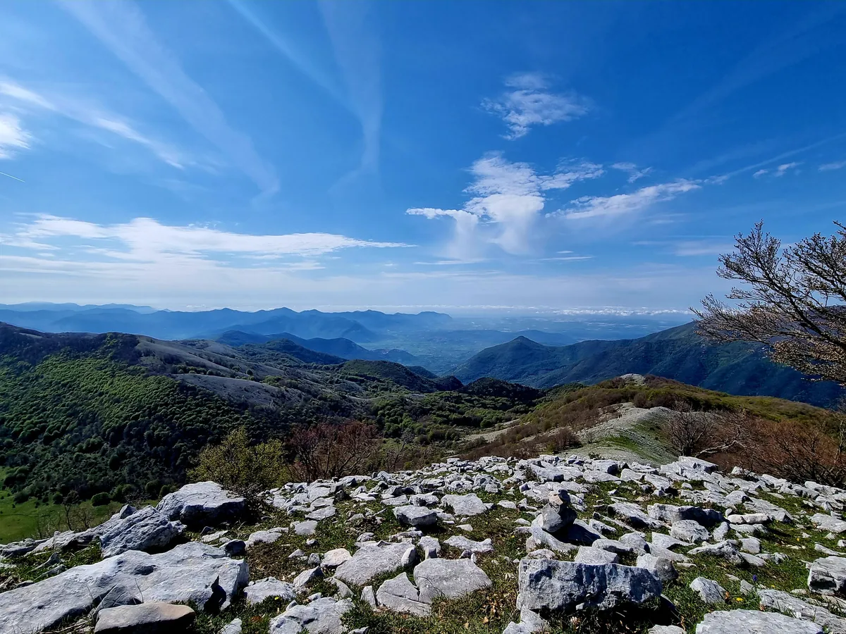
Mountain bike trails around Segni traverse a landscape characterized by rolling hills, plateaus, and valleys in the Lazio region of Italy. The area features a mix of open terrain, dense woodlands, and routes that follow former rail lines. Mountain bikers can expect varied elevations, including climbs to plateaus and descents towards lakes.
Best mountain bike trails around Segni
- The most popular mountain bike trail is Big Bench of Piglio – Serrone–Fiuggi Rail Trail loop from Colleferro-Segni-Paliano, a 37.5 miles…
Last updated: August 1, 2026
5.0
(1)
26
riders
Moderate mountain bike ride. Good fitness required. Suitable for all skill levels.
5.0
(1)
10
riders
48.3km
04:21
1,370m
1,370m
Hard mountain bike ride. Very good fitness required. Advanced riding skills necessary.

Sign up for free
5.0
(1)
12
riders
38.6km
03:39
1,150m
1,150m
Hard mountain bike ride. Very good fitness required. Advanced riding skills necessary.
3.5
(2)
13
riders
36.3km
02:40
760m
760m
Moderate mountain bike ride. Good fitness required. Suitable for all skill levels.
14
riders
51.8km
03:42
400m
400m
Moderate mountain bike ride. Good fitness required. Suitable for all skill levels.
Get access to more routes and recommendations from other explorers.
Sign up for free
Already have an account?
Our route recommendations are based on thousands of hikes, rides, and runs completed by other people on komoot.
Start today with a free account
Your next adventure awaits.
Login or Signup

Other adventures around Segni

Tips from the Community

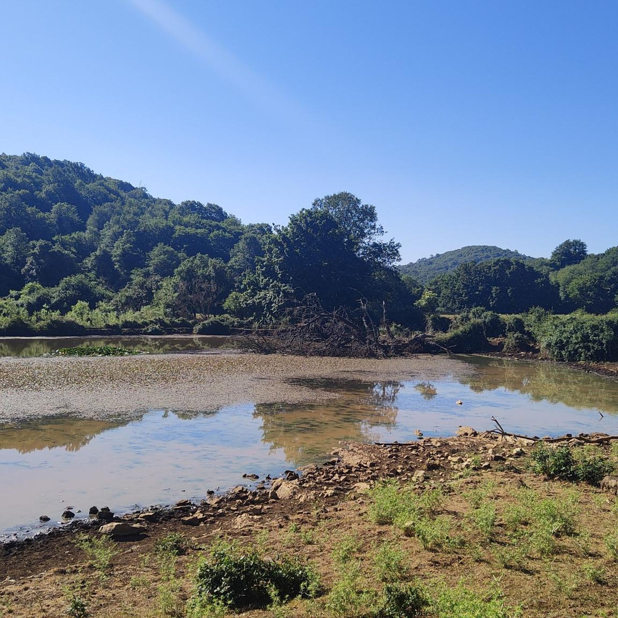
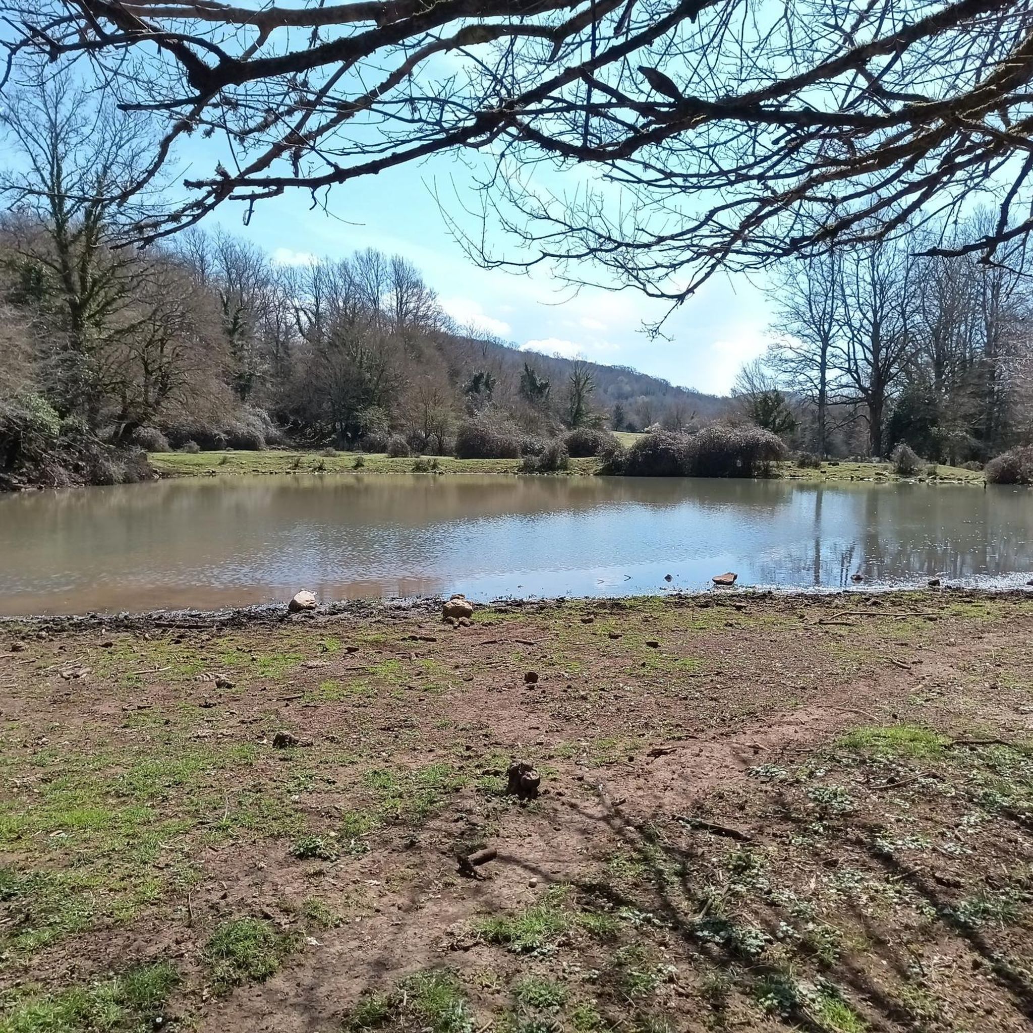
Following the trail, I entered the Natural Monument of Lake Giulianello. Even though the water was murky due to the recent weather, the atmosphere remains magical. It's the third largest lake in the Castelli Romani, but unlike Nemi and Albano, an almost primordial peace reigns here.
0
0

Beautiful and scenic giant bench (Big Bench) on the cycle path of the former Paliano Fiuggi railway
0
0

The Fiuggi Acuto Piglio cycle path is fantastic, I've ridden the Acuto Piglio section many times on a road bike without any problems.
0
0


Starting from Lariano it is a long walk. The only advice is to do it in company because you will meet flocks of sheep, sometimes, without shepherds.
0
0


Beautiful lake surrounded by nature with beautiful cycling paths. Ideal to be used as a school camp and as a nature trail.
0
0

"It is an oasis that includes the waters of a small lake and the surrounding areas, between the provinces of Rome and Latina. The natural monument was established with Presidential Decree 21 June 2007, no. 425 (B.U.R. of 30 July 2007, no. 21). Located halfway between the volcanic heights of the Alban Hills and the limestone ones of the Lepini Mountains, at an altitude of 265 meters above sea level, for its naturalistic values, Lake Giulianello was identified as a natural monument by the Lazio Region in 2008. Of volcanic origin like the nearby lakes of the Alban Hills, Lake Giulianello is sub-elliptical in shape and measures about a kilometer and a half in perimeter. The depth of the seabed is just over 10 meters and its waters are fed mainly by underground springs."
0
0
Frequently Asked Questions
How many mountain bike trails are available around Segni?
There are over 70 mountain bike trails around Segni documented on komoot. These routes cater to various skill levels, with options ranging from easy to difficult.
What is the overall difficulty level of mountain biking in Segni?
The mountain bike trails around Segni offer a diverse range of difficulties. You'll find approximately 5 easy routes, around 40 moderate trails, and about 27 difficult routes, ensuring options for all experience levels.
Are there mountain bike trails suitable for beginners in Segni?
Yes, there are several trails suitable for beginners. These routes typically feature gentler gradients and less technical terrain. While specific beginner routes aren't highlighted here, you can filter for 'easy' trails on komoot to find suitable options.
Where can I find challenging mountain bike routes around Segni?
For experienced riders seeking a challenge, Segni offers several difficult routes with significant elevation gain and technical sections. An example is the Collemezzo Plateau – Rocca Massima loop from Rocca Massima, which covers 48.3 km with over 1300 meters of ascent.
Are there any loop mountain bike trails in Segni?
Many of the mountain bike trails around Segni are designed as loops, allowing you to start and finish at the same point. A popular moderate loop is the Big Bench of Piglio – Serrone–Fiuggi Rail Trail loop from Colleferro-Segni-Paliano, which is 60.4 km long.
What do other mountain bikers say about the trails in Segni?
The mountain bike trails in Segni are highly regarded by the komoot community, with an average rating of 4.4 out of 5 stars from over 150 reviews. Riders often praise the varied terrain, scenic views, and the mix of open landscapes and dense woodlands.
Are there any long-distance mountain bike trails in Segni?
Yes, Segni offers several longer routes for those looking for an extended ride. The longest popular route is the Big Bench of Piglio – Serrone–Fiuggi Rail Trail loop from Colleferro-Segni-Paliano, which spans 60.4 km and follows a converted rail trail.
What kind of terrain can I expect on mountain bike trails around Segni?
The terrain around Segni is quite varied, characterized by rolling hills, plateaus, and valleys. You'll encounter a mix of open areas, dense woodlands, and routes that utilize former rail lines. Expect varied elevations, including climbs to plateaus and descents towards natural lakes.
Are there any natural attractions or viewpoints along the mountain bike trails?
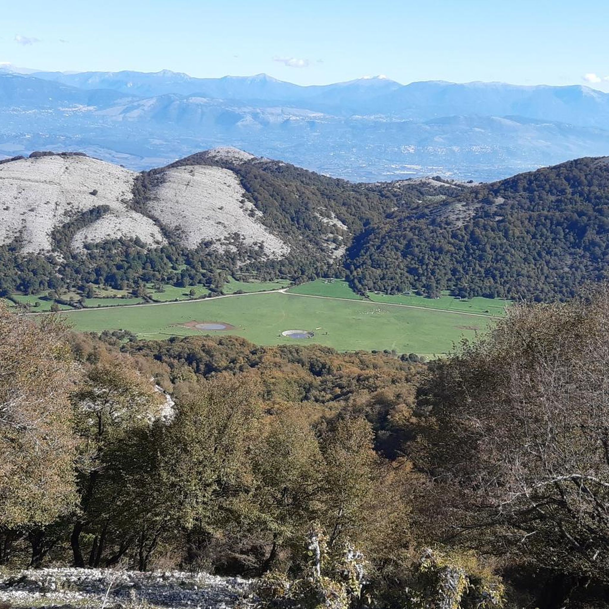
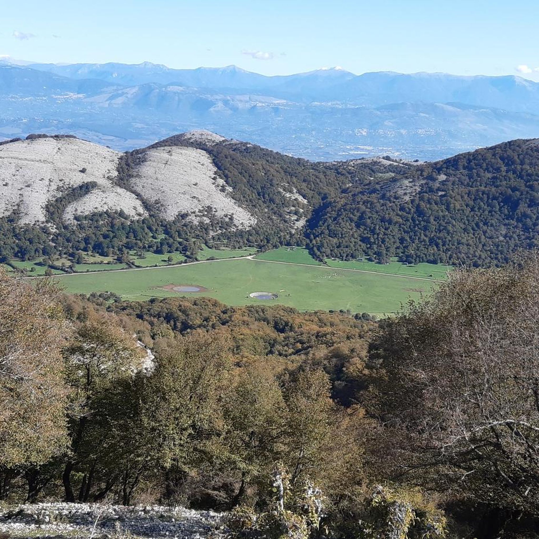
Yes, the region offers several natural attractions and scenic viewpoints. You might pass by Lake Giulianello or enjoy expansive vistas from the Collemezzo Plateau, which is featured on routes like the Collemezzo Plateau – Lago di Colle Mezzo loop from Segni.
What are some historical or cultural landmarks I can explore near the trails?
Beyond the trails, the area around Segni is rich in history. Notable landmarks include Anagni — The City of Popes, the ancient Temple of Hercules (Cori), and the Torre dei Piscoli. The Castello Vecchio – Climb to Segni loop from Colleferro-Segni-Paliano route offers a glimpse of local history.
Are there any trails that pass by lakes or water features?
Yes, some routes incorporate natural water features. For instance, the Ontanese Fountain – Lake Giulianello loop from Colleferro takes you past Lake Giulianello, offering picturesque views and a refreshing stop.
What is the best time of year for mountain biking in Segni?
The spring and autumn months generally offer the most pleasant conditions for mountain biking in Segni, with mild temperatures and vibrant scenery. Summers can be hot, while winters are typically mild but may have occasional rain.
Most popular attractions around Segni

Get inspired with the komoot mobile app


Explore more
Browse the best MTB trails in other regions.
