The best walks and hikes around Schlegel
4.6
(8112)
28,904
hikers
1,236
hikes
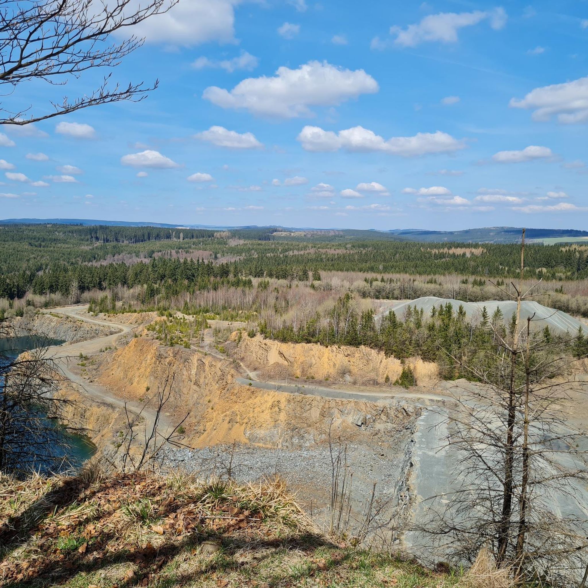
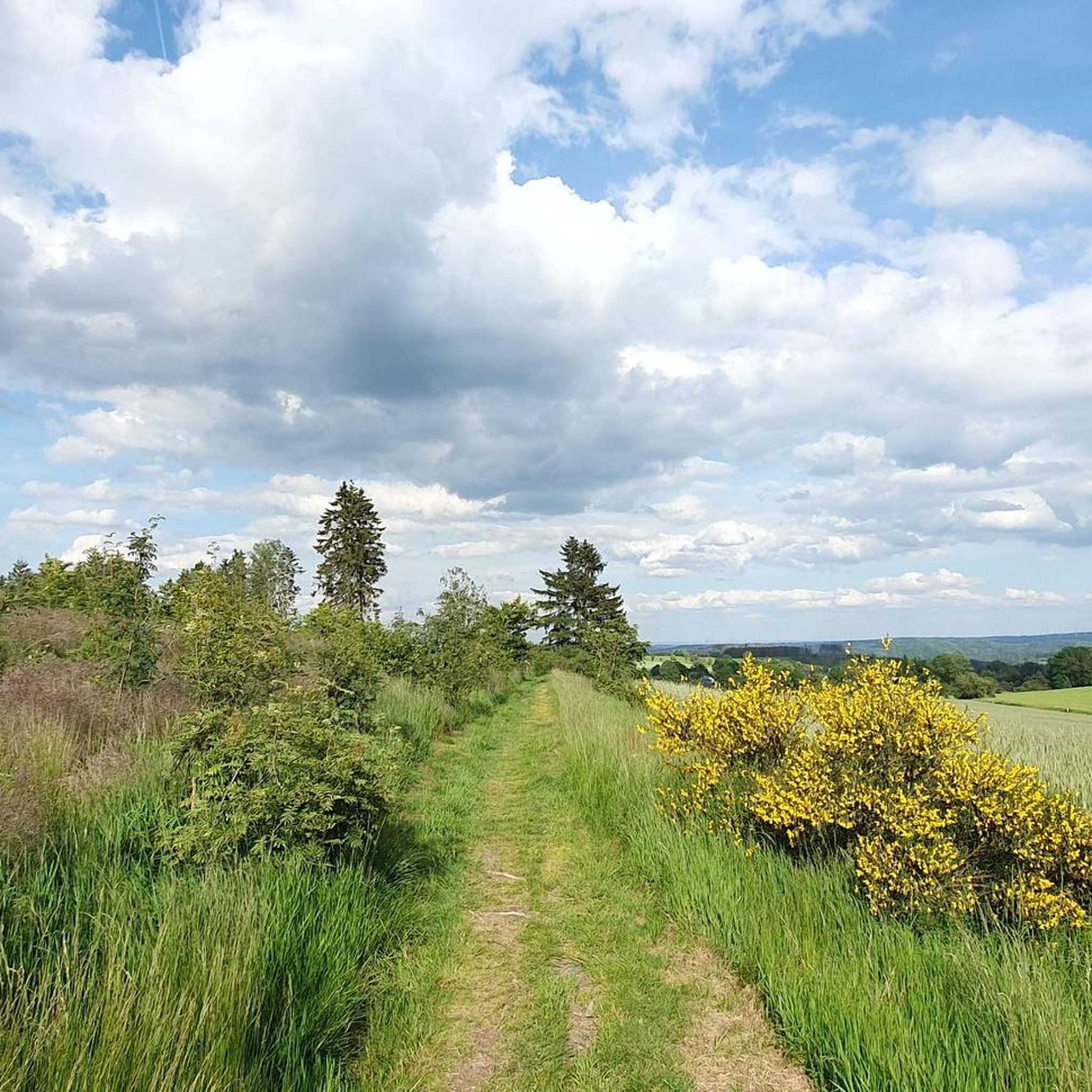
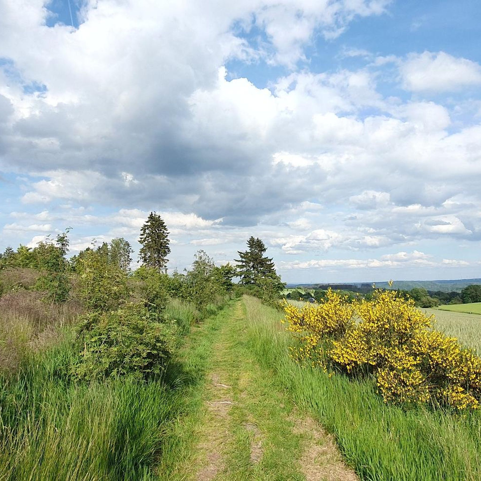
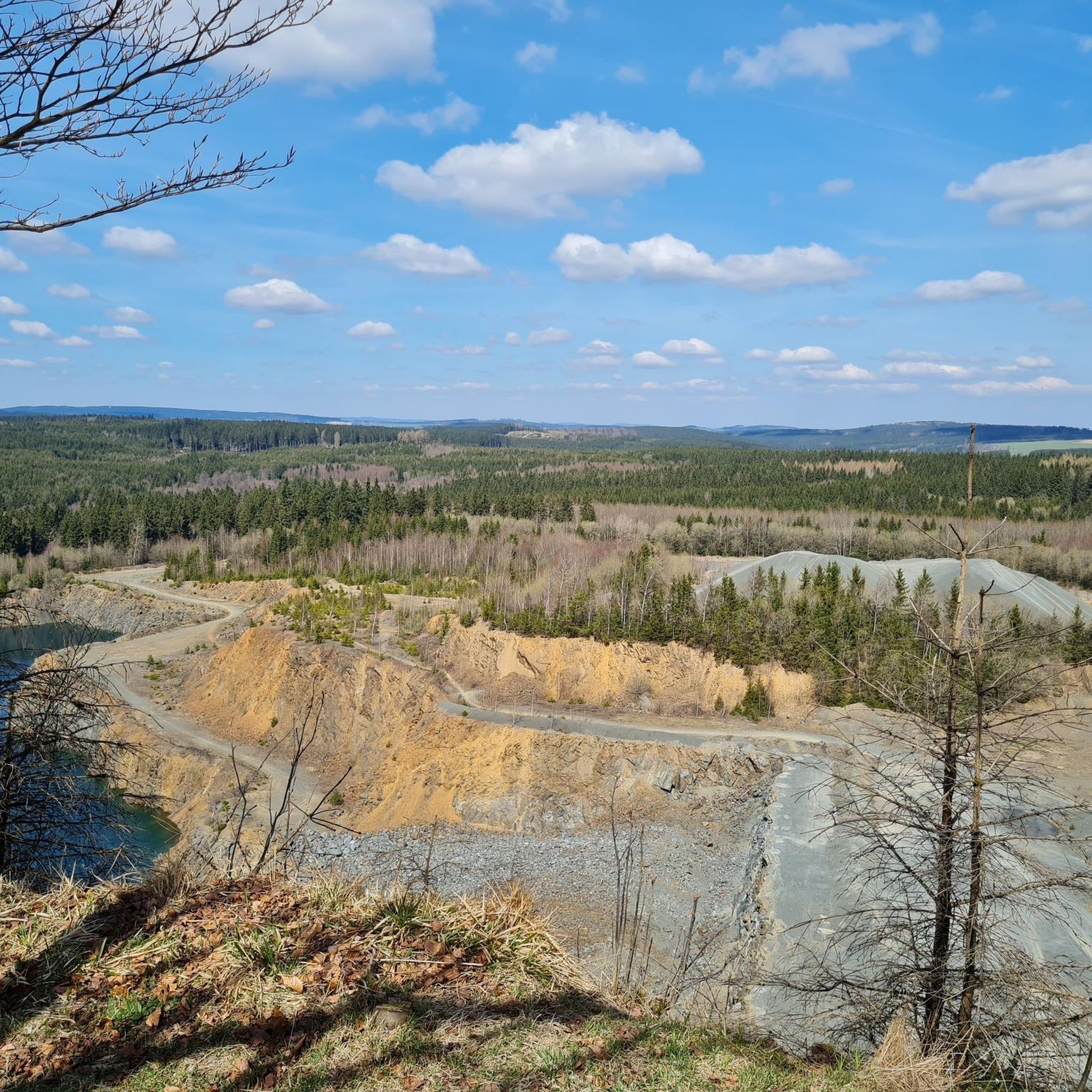
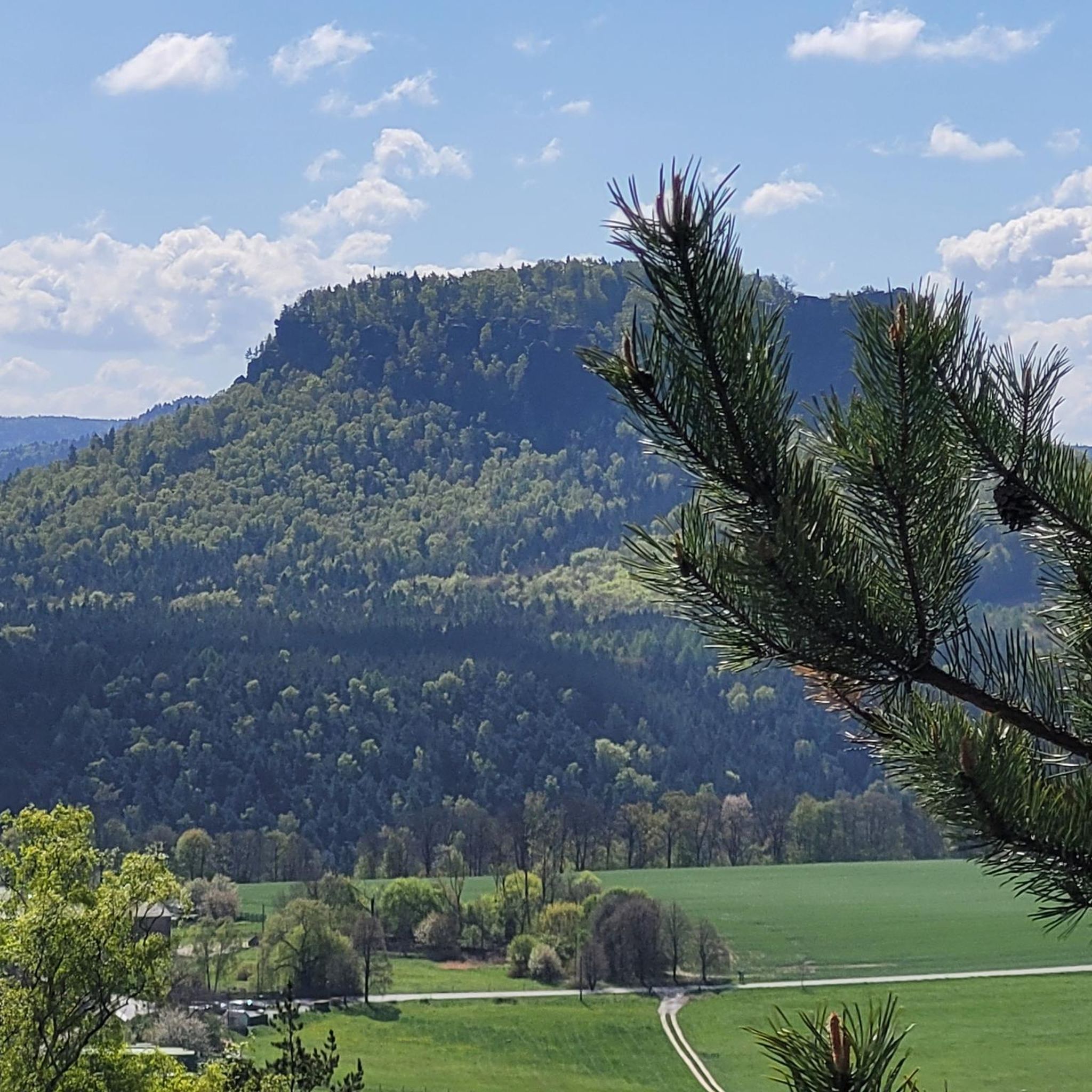
Hiking around Schlegel offers a diverse landscape primarily characterized by dense woodlands, rolling hills, and tranquil ponds, particularly in the region bordering Thuringia and Bavaria in Germany. The area features a network of well-maintained trails that traverse varied terrain, including sections of the historic Green Belt. Elevation changes are generally moderate, making many routes accessible for different fitness levels.
Best hiking trails around Schlegel
- The most popular hiking route is Totenfels, Harra – Tunnel to Totenfels loop from Seibis,…
Last updated: October 29, 2026
4.7
(15)
45
hikers
Moderate hike. Good fitness required. Easily walkable paths.
4.8
(8)
21
hikers
Moderate hike. Good fitness required. Easily walkable paths.

4.7
(3)
13
hikers
Moderate hike. Good fitness required. Easily walkable paths.
4.9
(7)
13
hikers
6.29km
01:45
110m
110m
Easy hike. Easily walkable paths.
4.5
(2)
12
hikers
Easy hike. Easily walkable paths.
Get access to more routes and recommendations from other explorers.
Already have an account?
Our route recommendations are based on thousands of hikes, rides, and runs completed by other people on komoot.
Start today with a free account
Your next adventure awaits.
Tips from the Community

In this area, the Muschwitz marks the border between Thuringia and Bavaria. The bridge was located directly on the demarcation line and remained unused for decades after the Second World War.
2
0
The former railway bridge over the Muschwitz is located on the Thuringian-Bavarian border between Blankenstein (Saale) and Lichtenberg (Upper Franconia) at kilometer 63.5 of the former Triptis–Marxgrün railway line. The structure has particular historical relevance, as the inner-German border ran directly along the bridge structure during the division of Germany.
2
0
The Blankenstein Rennsteig hiking base in the Blankenstein district of the municipality of Rosenthal am Rennsteig is the ideal starting or finishing point for hikes on the famous Rennsteig. Various long-distance hiking trails meet at the local "hiking hub". For hikers and cyclists, the station offers a cozy place to stop for a break with simple meals, cold drinks, and coffee.
3
0
Green Belt: Due to decades of isolation in the border strip, a valuable biotope network for rare animal and plant species has emerged.
2
0
Green Belt: Due to decades of isolation in the border strip, a valuable biotope network for rare animal and plant species has emerged.
2
0

Surefootedness is highly recommended along the entire route.
0
0

Very nice and easy hiking trail, also suitable for small children and cyclists
0
0

The Blankenstein hiking base is a central meeting point for hikers in Thuringia. The place is considered the „hub of hiking“ as more than 20 hiking trails meet here. Among other things, this is the official start or end point of the famous Rennsteig, Germany's oldest ridge trail.
5
0
Frequently Asked Questions
How many hiking trails are available around Schlegel?
The Schlegel area offers a wide variety of hiking experiences, with over 1,200 trails recorded. These range from easy strolls to more challenging routes, ensuring options for all fitness levels.
Are there easy hiking routes suitable for beginners in Schlegel?
Yes, Schlegel has plenty of easy hiking routes perfect for beginners or those looking for a relaxed walk. Over 580 trails are classified as easy, often leading through tranquil woodlands and past serene ponds. A good example is the Black Pond – Ponds for smooth newts loop from Fränkische Muschwitz, which is an easy 6.2 km route.
What kind of terrain can I expect on hikes around Schlegel?
Hiking around Schlegel is characterized by dense woodlands, rolling hills, and tranquil ponds, especially in the region bordering Thuringia and Bavaria. Many trails traverse varied terrain, including sections of the historic Green Belt, with generally moderate elevation changes.
Are there any circular hiking routes in the Schlegel area?
Yes, many of the trails around Schlegel are designed as circular routes, allowing you to start and end at the same point. For instance, the Totenfels, Harra – Tunnel to Totenfels loop from Seibis is a popular circular trail featuring notable rock formations and forest paths.
Can I bring my dog on the hiking trails near Schlegel?
While specific regulations can vary, many trails in the German Schlegel region are generally dog-friendly, especially those through natural landscapes. Always keep your dog on a leash and be mindful of local wildlife and other hikers. For a dedicated dog-friendly space, Schlegel Park in Reading, Pennsylvania, USA, notably offers a public dog park, though this is a different geographical location.
Are there family-friendly hiking options around Schlegel?
Absolutely. The abundance of easy and moderate trails, combined with the region's gentle rolling hills and scenic ponds, makes many routes suitable for families. Look for shorter, less strenuous loops that offer interesting natural features to keep children engaged.
What are some notable natural attractions or viewpoints along the trails?
The Schlegel area offers several natural highlights. You can explore the dramatic Höllental (Hell Valley), including its unique rock path and gorge. For impressive vistas, the König David Viewpoint provides scenic views of the surrounding landscape.
Are there places to stop for refreshments or shelter during a hike?
Yes, you can find various huts and shelters along the trails. Highlights include the Rest area at the Hubertus Spring with barefoot path, and several shelters like the Meiler Hohe Tanne Shelter and the Shelter on the Horse Trail. The Reile am Rennsteig Tavern & Snack Bar also offers a place to refuel.
What is the best time of year to hike around Schlegel?
The German Schlegel region is enjoyable for hiking throughout much of the year. Spring and autumn offer pleasant temperatures and beautiful foliage. Summer is also popular, though some trails might be busier. Winter hiking is possible, particularly in areas like Hochschlegel in Bavaria, which is mentioned in the context of year-round outdoor appeal.
How long do hikes around Schlegel typically take?
Hike durations vary significantly based on the trail's length and difficulty. For example, the Totenfels, Harra – Tunnel to Totenfels loop takes approximately 3 hours 50 minutes, while the Black Pond – Adelskammer Inn loop can be completed in about 3 hours 12 minutes. Shorter, easy routes can be as quick as 1-2 hours.
What do other hikers enjoy the most about hiking in Schlegel?
The area is highly rated by the komoot community, with an average score of 4.6 stars from over 8,100 reviews. Reviewers often praise the quiet woodlands, well-marked paths, and the diverse landscape that offers both serene ponds and historical routes like the Green Belt.
Are there any particularly scenic routes for views?
For scenic views, consider routes that incorporate viewpoints like the König David Viewpoint. The View from Schöne Aussicht – Adelskammer Inn loop is specifically named for its beautiful vistas. In the broader alpine context, the Schlegeis Reservoir in the Austrian Alps offers stunning views of a blue alpine lake and snow-capped mountains.
Most popular attractions around Schlegel

Get inspired with the komoot mobile app


Explore more
Browse the best Hikes in other regions.
