The best walks and hikes around Balsorano
4.4
(378)
1,706
hikers
99
hikes
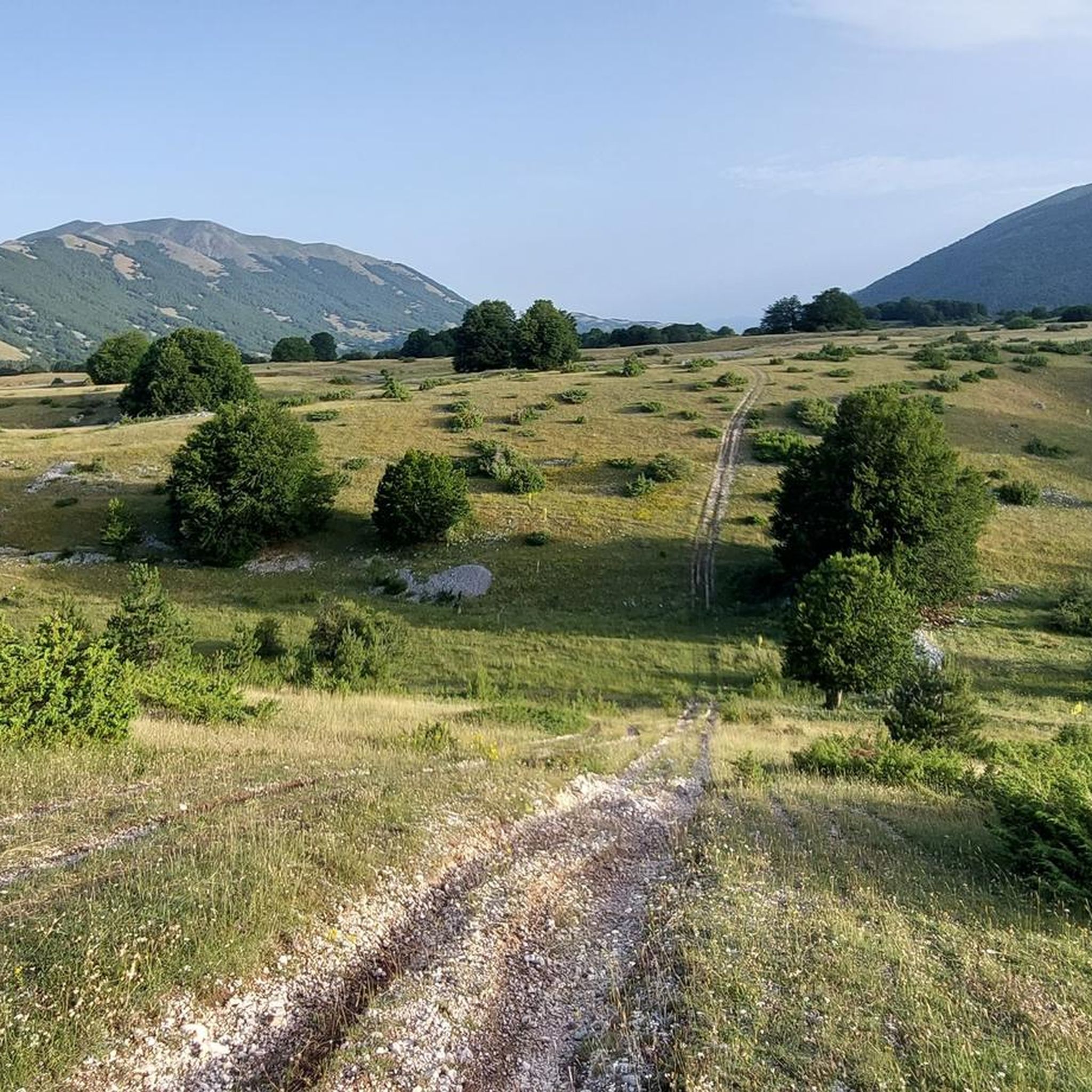
Hiking around Balsorano offers access to the central Apennine mountains, characterized by forested slopes, river valleys, and elevated plateaus. The region features varied terrain, including both gentle paths and more challenging ascents into higher elevations. These hiking trails provide opportunities to explore the natural environment of the Abruzzo region.
Best hiking trails around Balsorano
- The most popular hiking route is From Case Alfonsi to Serra Alta, a 10.3 miles (16.6 km) trail that takes 6 hours 28 minutes to…
Last updated: October 8, 2026
3.5
(2)
9
hikers
16.6km
06:28
1,200m
1,200m
Hard hike. Very good fitness required. Mostly accessible paths. Sure-footedness required.
4.7
(34)
148
hikers
10.1km
04:20
850m
850m
Moderate hike. Good fitness required. Mostly accessible paths. Sure-footedness required.

4.7
(32)
148
hikers
12.1km
05:41
980m
980m
Hard hike. Very good fitness required. Mostly accessible paths. Sure-footedness required.
4.3
(11)
63
hikers
13.9km
04:23
560m
560m
Moderate hike. Good fitness required. Easily-accessible paths. Suitable for all skill levels.
4.7
(9)
32
hikers
Moderate hike. Good fitness required. Easily-accessible paths. Suitable for all skill levels.
Get access to more routes and recommendations from other explorers.
Already have an account?
Our route recommendations are based on thousands of hikes, rides, and runs completed by other people on komoot.
Start today with a free account
Your next adventure awaits.
Tips from the Community


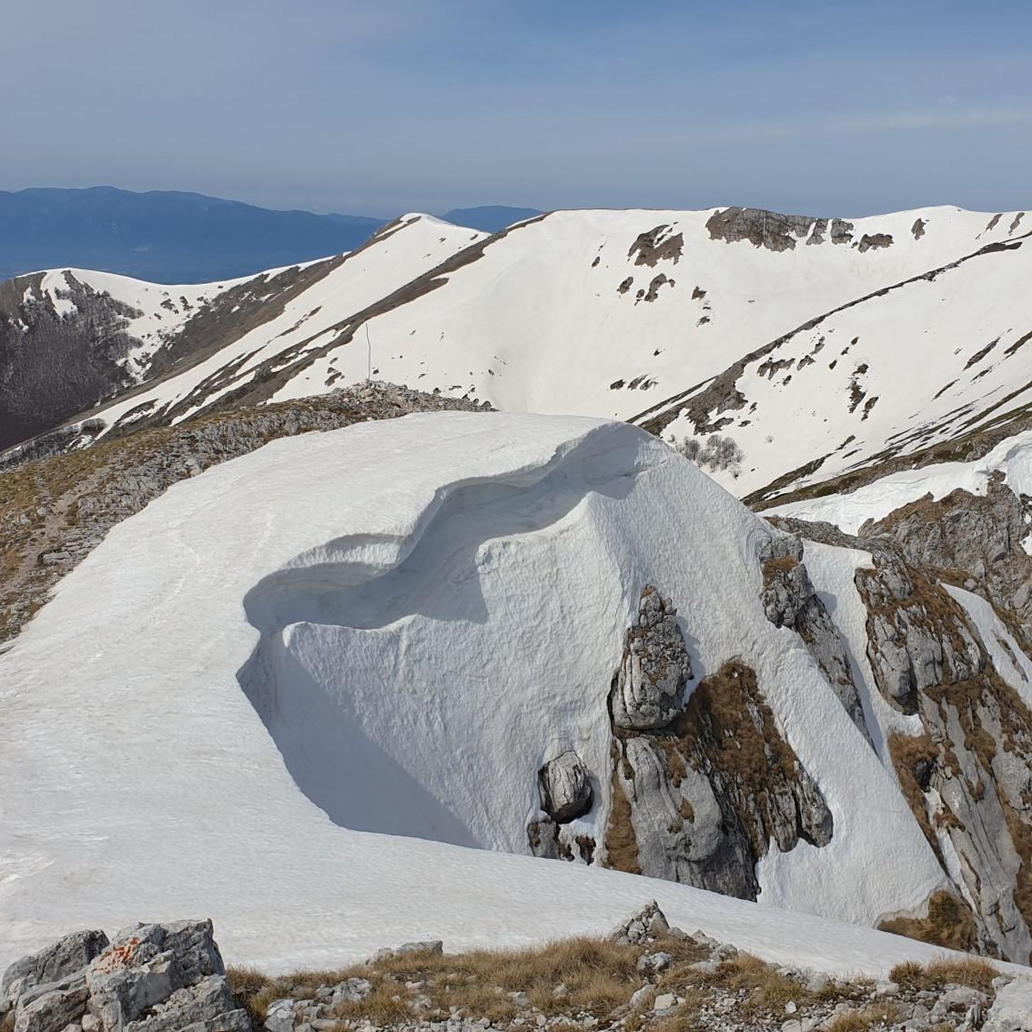
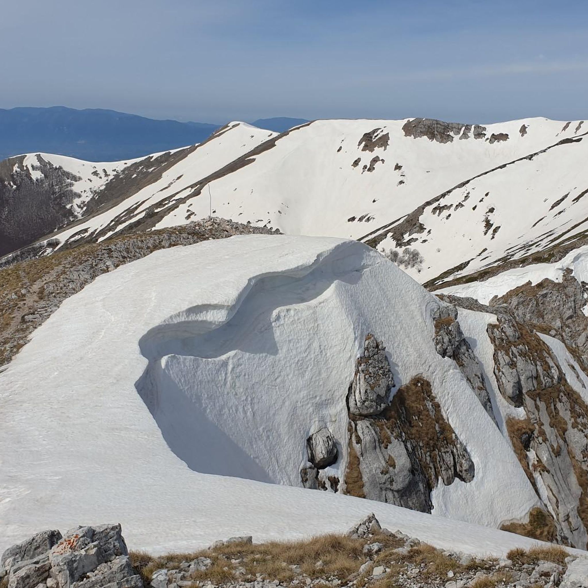
highest peak of the Ernici mountains, beautiful panorama over the main Abruzzo massifs and up to the Lazio islands
1
0

It is part of a splendid circular route on the ridge that connects Pizzo Deta to Forca Palomba, in the direction of Prato di Campoli.
0
0
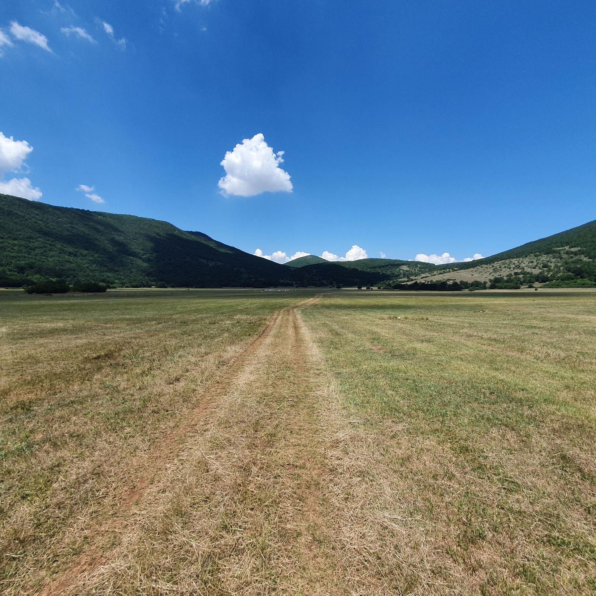
It is the highest peak overlooking the plain of Prato di Campoli. The ridge path that connects it to Pizzo Deta offers splendid views of the Ernici Mountains. The wallpapers under the top in the period of June are colored with splendid Gentian blooms
1
0
Site of the 1932 plane crash in which the Swiss spouses Alfred Isaak Lang-Willar lost their lives, cousin of Louuis Dreyfus and Suzanne Sarah Picard, both Jews and both expressions of the global financial aristocracy, the legendary French aviator Marcel Goulette, and the his second Lucine Moreau
0
0

Here there is a commemorative stele that commemorates the tragedy of 1963 which cost the lives of 5 passengers and 3 crew members; Flight Itavia 703 crashed here due to bad weather.
2
0
Frequently Asked Questions
How many hiking trails are available around Balsorano?
Balsorano offers a wide selection of hiking opportunities, with over 80 routes recorded on komoot. These range from easy strolls to challenging mountain ascents, catering to various fitness levels.
What kind of terrain can I expect on hikes in Balsorano?
The hiking trails around Balsorano are characterized by the central Apennine mountains, featuring forested slopes, river valleys, and elevated plateaus. You'll find a mix of gentle paths and more demanding ascents into higher elevations, typical of the Abruzzo region.
Are there any easy hiking trails suitable for beginners in Balsorano?
Yes, Balsorano has several easier options. There are 9 designated easy routes, perfect for those new to hiking or looking for a more relaxed experience. These trails typically have less elevation gain and shorter distances.
Are there any circular hiking routes in Balsorano?
Many trails in Balsorano are designed as circular routes, allowing you to start and end at the same point. An example is the moderate Laghetto di Fango loop from Ristorante il Faggio, which takes you through forested areas and past a lake.
What are some notable natural attractions or landmarks to see while hiking in Balsorano?
Hikers can discover several interesting points. You might encounter the impressive Grande Waterfall of Isola del Liri, or explore the scenic high-altitude plain of Prato di Campoli. The prominent Mount Passeggio also offers stunning views.
What do other hikers say about the trails in Balsorano?
The hiking routes in Balsorano are highly regarded by the komoot community, holding an average rating of 4.4 out of 5 stars from over 250 reviews. Hikers often praise the diverse terrain and the natural beauty of the Abruzzo landscape.
Are there any challenging routes for experienced hikers in Balsorano?
Absolutely. Balsorano is home to 30 difficult routes for experienced hikers. One such challenging trail is the From Case Alfonsi to Serra Alta, a 16.6 km route with significant elevation gain through mountainous terrain.
Are there any trails that pass by historical or unique sites?
Yes, for a unique historical experience, consider the difficult Itavia Flight 703 Plane Wreck loop from Rifugio Cisterne. This 16.1 km route leads to the site of a significant historical event, offering a poignant point of interest amidst the natural scenery.
Are there any huts or refuges available along the hiking trails in Balsorano?
Yes, for longer hikes or multi-day trips, you can find several huts and refuges in the area. Options include the Fonte Astuni Cabin and the Cicerana Refuge, which can provide shelter or a place to rest.
What is the best time of year to go hiking in Balsorano?
The best time for hiking in Balsorano is generally from spring to autumn (April to October), when the weather is milder and trails are clear. Summer offers warm conditions, while spring and autumn provide pleasant temperatures and vibrant foliage. Higher altitude trails may be inaccessible due to snow in winter.
Are there any trails that offer panoramic views of the region?
Many trails in Balsorano provide excellent panoramic views, especially those ascending to higher elevations. The difficult Mount Passeggio – Prato di Campoli loop from Prato di Campoli is known for exploring the slopes of Mount Passeggio and offering expansive vistas of the surrounding Apennine landscape.
Most popular attractions around Balsorano

Get inspired with the komoot mobile app


Explore more
Browse the best Hikes in other regions.
