The best walks and hikes around Carpineto Romano
4.5
(299)
1,164
hikers
25
hikes
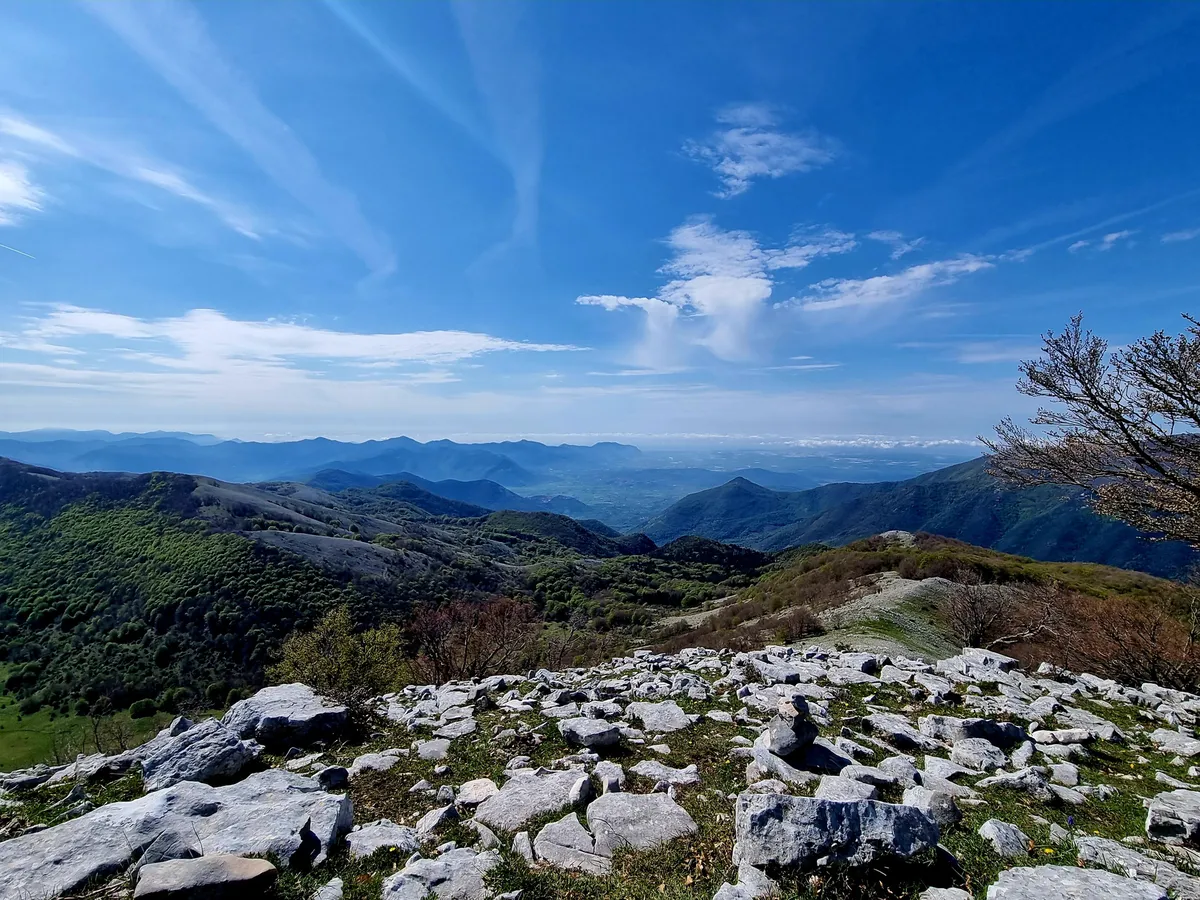
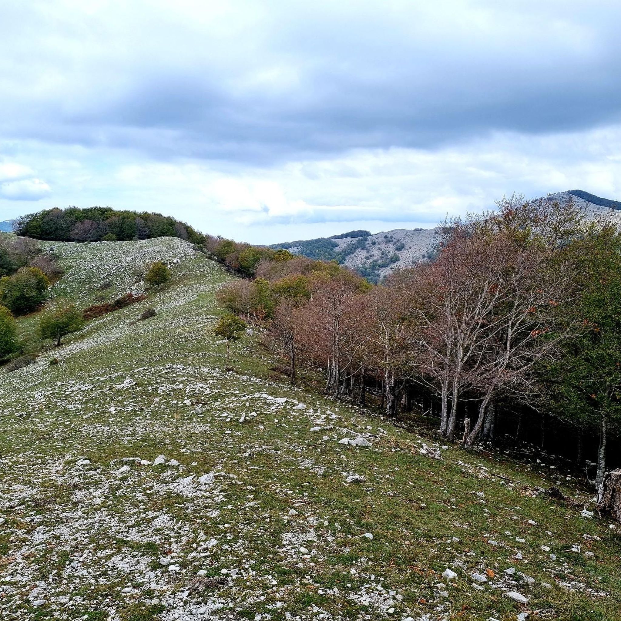
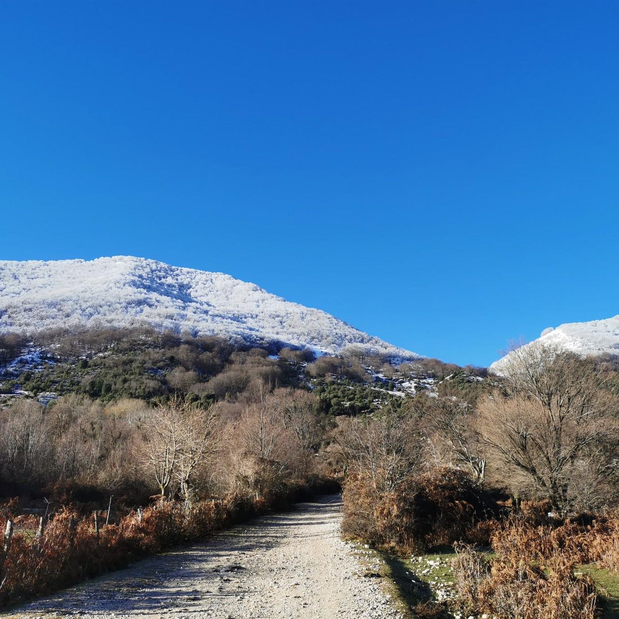
Hiking around Carpineto Romano offers diverse trails within the Lepini Mountains, approximately 80 km south of Rome. The region features a landscape transitioning between mountains, woods, and pastures, characterized by significant karst phenomena. Limestone ridges and ancient beech forests contribute to the area's geological and botanical interest.
Best hiking trails around Carpineto Romano
- The most popular hiking route is Monte Semprevisa Ring Trail from Pian della Faggeta, a 5.7 miles (9.1 km) trail that takes 3 hours 35 minutes…
Last updated: August 17, 2026
4.5
(91)
251
hikers
9.12km
03:35
660m
660m
Moderate hike. Good fitness required. Mostly accessible paths. Sure-footedness required.
4.6
(25)
90
hikers
11.4km
04:03
660m
660m
Moderate hike. Good fitness required. Easily-accessible paths. Suitable for all skill levels.

Sign up for free
1
hikers
14.1km
05:33
1,020m
1,020m
Hard hike. Very good fitness required. Mostly accessible paths. Sure-footedness required.
4.8
(11)
60
hikers
Easy hike. Great for any fitness level. Easily-accessible paths. Suitable for all skill levels.
4.3
(7)
23
hikers
14.3km
05:29
780m
780m
Hard hike. Very good fitness required. Mostly accessible paths. Sure-footedness required.
Get access to more routes and recommendations from other explorers.
Sign up for free
Already have an account?
Our route recommendations are based on thousands of hikes, rides, and runs completed by other people on komoot.
Start today with a free account
Your next adventure awaits.
Login or Signup
Other adventures around Carpineto Romano

Tips from the Community

Beautiful made on Saturday 13th September by Bassiano 🤙
0
0

A legendary stone that hides a TREASURE underneath....
0
0

Piana di Santa Serena, a stunningly beautiful plateau, a crossroads of various trails in the Eastern Lepini, in particular Monte Gemma (the Creste), Monte Malaina, Sprone Maraoni, Monte Gemma (the direct route).
0
0
The growth of thick thorny vegetation has made progress on this stretch of trail completely impassable.
0
0
The Ouso di Passo Pratiglio is a cave that opens at an altitude of 1,360 meters on the south-east side of Mount Malaina. Discovered in 1976, it was explored in 1996 to a depth of -299 meters. Today it is the deepest cave in Lazio, with a depth of about 840 meters. ⚠️ Be very careful when approaching!
0
0

Highest peak of the Lepini.
0
0

It's a wonderful place, the trees are incredibly beautiful
1
0
Challenging but beautiful trail!
0
0
Frequently Asked Questions
How many hiking trails are available in Carpineto Romano?
Carpineto Romano offers a diverse network of over 20 hiking trails, catering to various fitness levels. You'll find everything from easy strolls to challenging climbs within the beautiful Lepini Mountains.
Are there any easy hiking trails suitable for beginners or families in Carpineto Romano?
Yes, there are easy options perfect for beginners or families. For instance, the Fontana di Monte Faito – Pian della Faggeta Picnic Area loop from Monte Semprevisa is an easy 5.4 km trail that takes about 1 hour and 37 minutes, offering a pleasant walk for any fitness level.
What kind of natural attractions can I expect to see along the hiking trails?
The trails in Carpineto Romano are rich in natural beauty. You can explore significant karst phenomena, including numerous caves like the Ouso di Passo Pratiglio Cave, and stunning ancient beech forests, especially around Pian della Faggeta. The region is also known for its diverse flora, including 55 species of wild orchids.
Are there any circular hiking routes in Carpineto Romano?
Many of the trails in Carpineto Romano are circular, allowing you to start and end at the same point. A popular example is the Monte Semprevisa Ring Trail from Pian della Faggeta, a moderate 9.1 km loop featuring stunning views and ancient beech forests.
What are the most challenging hikes in the Carpineto Romano area?
For experienced hikers seeking a challenge, trails like the Anello di Monte Capreo da Pian della Faggeta offer significant elevation gain and demanding terrain. This difficult 14.1 km route leads through dense beech forests and provides panoramic vistas.
What do other hikers say about the trails in Carpineto Romano?
The hiking trails in Carpineto Romano are highly rated by the komoot community, with an average score of 4.6 stars from over 240 reviews. Hikers often praise the stunning panoramic views, the beauty of the ancient beech forests, and the variety of routes available for different skill levels.
Are there any specific viewpoints or panoramic spots along the trails?
Absolutely. Many trails offer extensive panoramic views that can stretch all the way to the sea. Peaks like Monte Semprevisa and Monte Erdigheta are particularly renowned for their impressive vistas over the limestone ridges and surrounding landscape.
What is Pian della Faggeta and why is it important for hikers?
Pian della Faggeta is a karstic plateau located a couple of kilometers from Carpineto Romano at 865 meters above sea level. It serves as a key starting point for many hikes and is famous for its stunning ancient beech forests, which are particularly beautiful in autumn. It's also a naturalistic and botanical hotspot.
Can I reach the hiking areas around Carpineto Romano by public transport?
While Carpineto Romano itself is accessible by public transport, reaching specific trailheads like Pian della Faggeta often requires a short drive or a local taxi service from the town. It's advisable to check local transport options in advance for direct access to your chosen starting point.
What is the best time of year to go hiking in Carpineto Romano?
The region offers great hiking opportunities throughout much of the year. Spring and autumn are particularly popular, with spring bringing blooming wild orchids and autumn transforming the beech forests into spectacular colors. Summer can be warm but offers pleasant conditions at higher elevations, while winter hiking is possible, especially on lower trails, though some higher routes may require appropriate gear.
Are there any historical or cultural landmarks near the hiking routes?
While the primary focus is on natural landscapes, the broader region around Carpineto Romano has historical significance. You might find medieval structures or religious sites. For example, the Ninfa Gardens and Medieval Tower are notable nearby attractions, offering a blend of natural beauty and historical architecture.
Most popular attractions around Carpineto Romano

Get inspired with the komoot mobile app


Explore more
Browse the best Hikes in other regions.
